|
DIRECTIONS: The Running Deer Natural Area is located along Prospect Road Just east of I-25. Exit I-25 at Prospect Road, head west and turn south into the Parking Area.
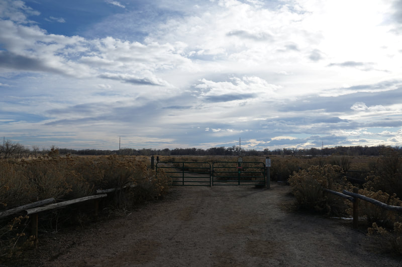
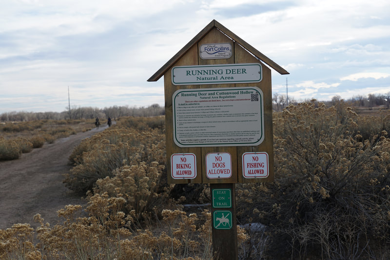
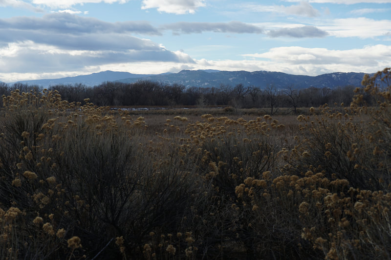
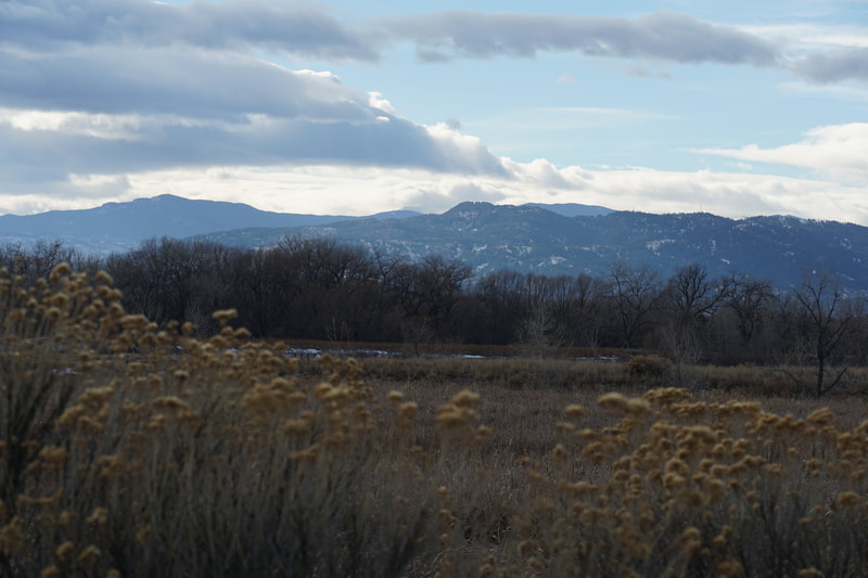
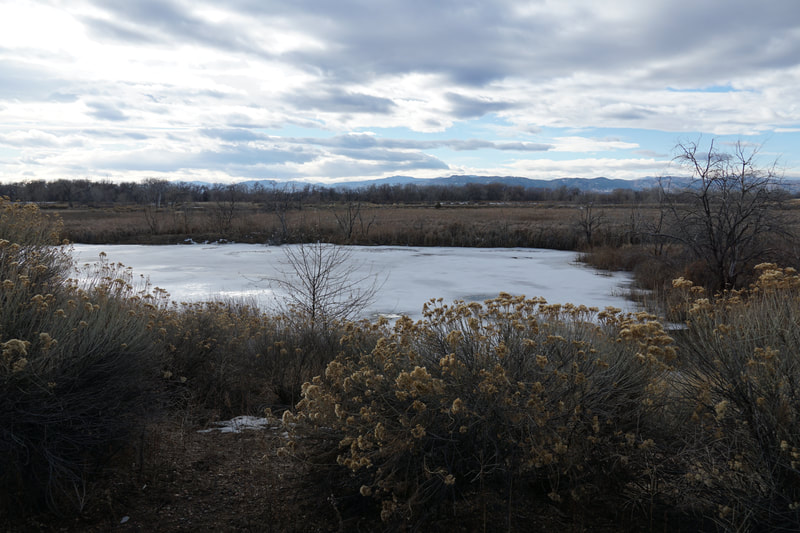
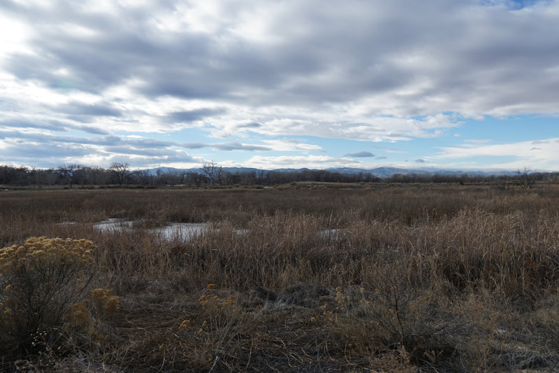
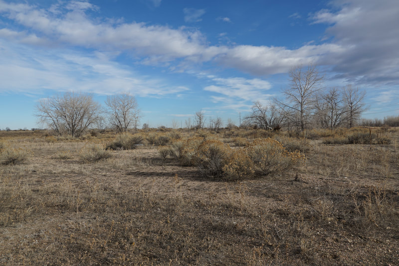
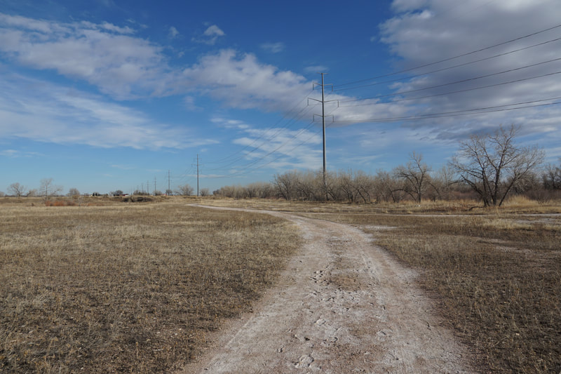
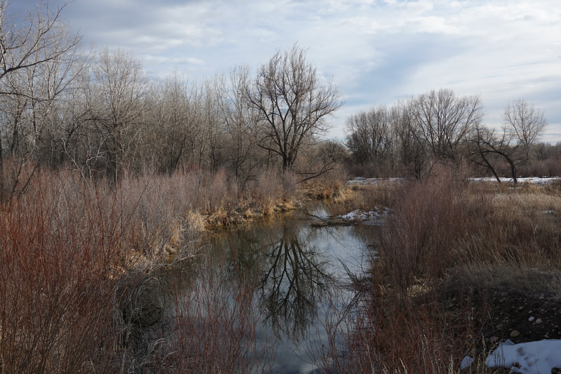
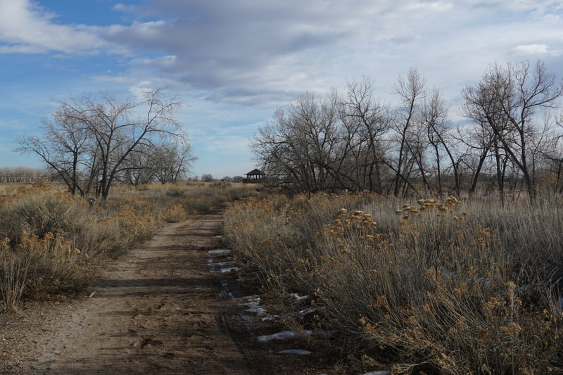
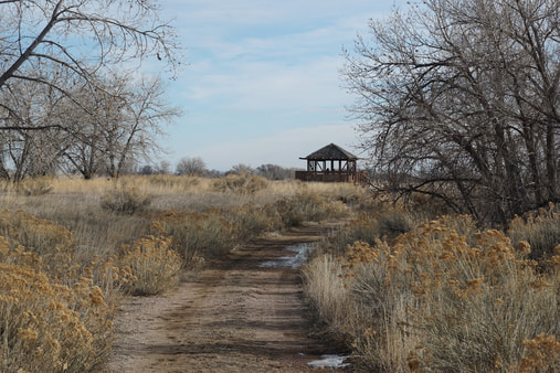
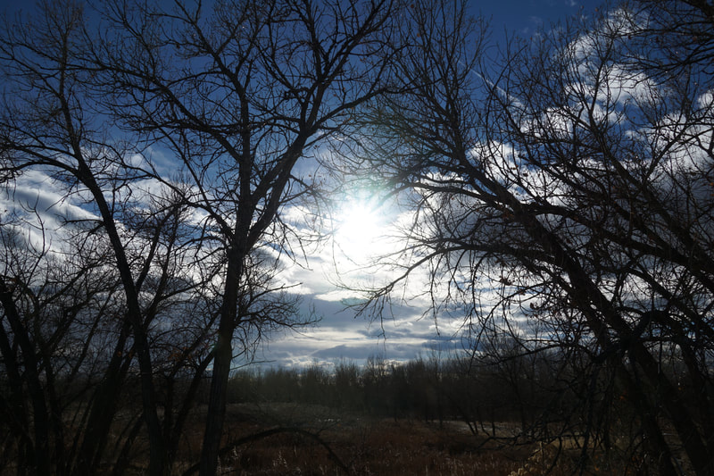
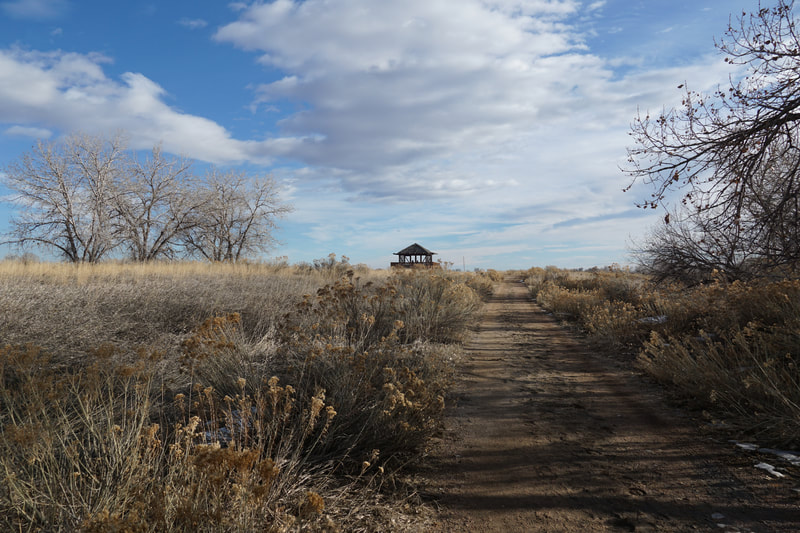
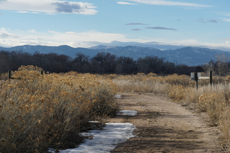
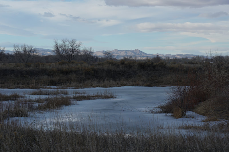
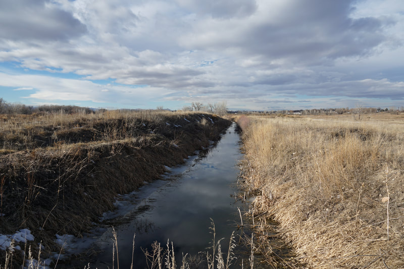
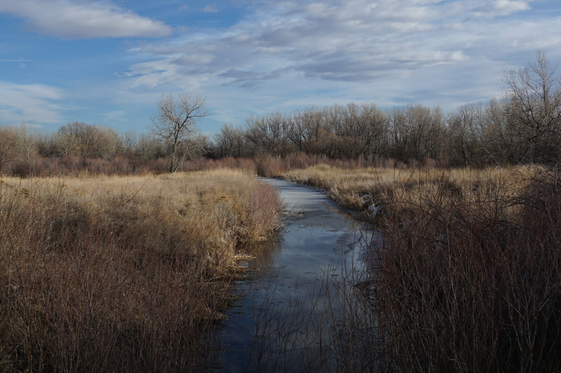
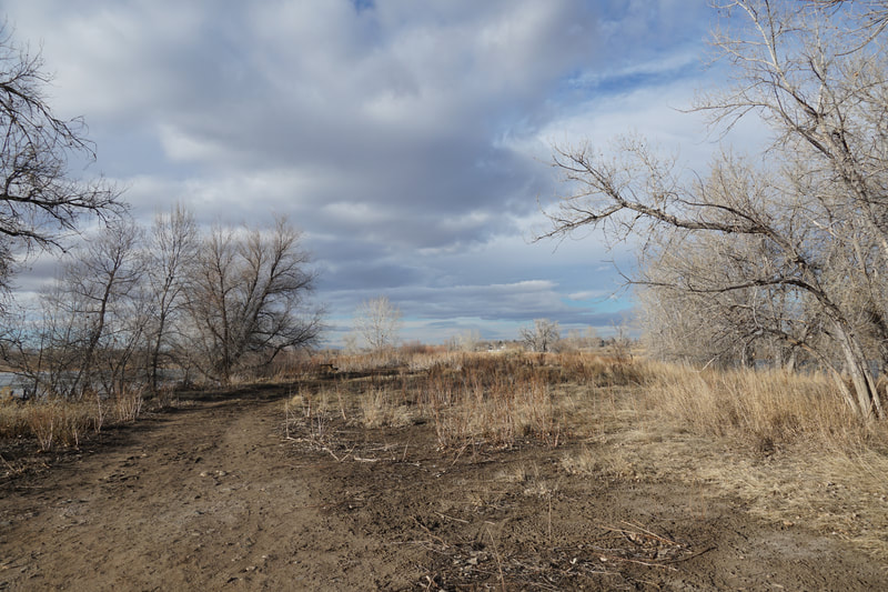
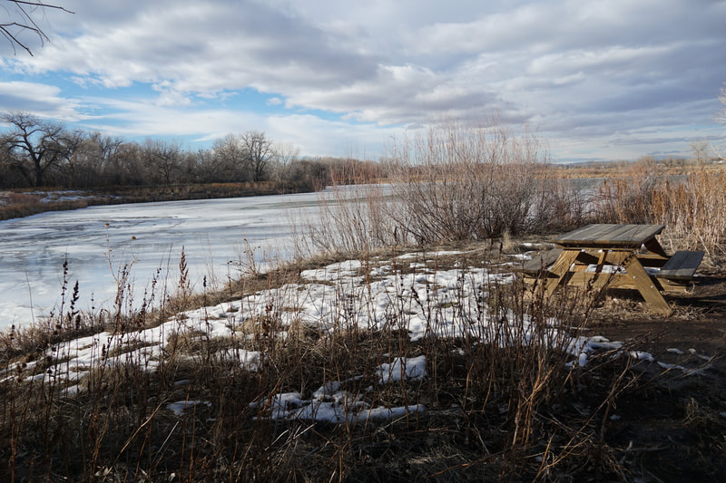
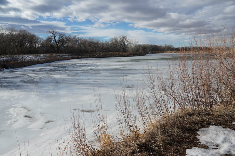
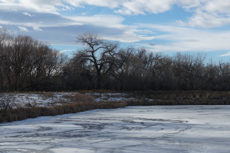
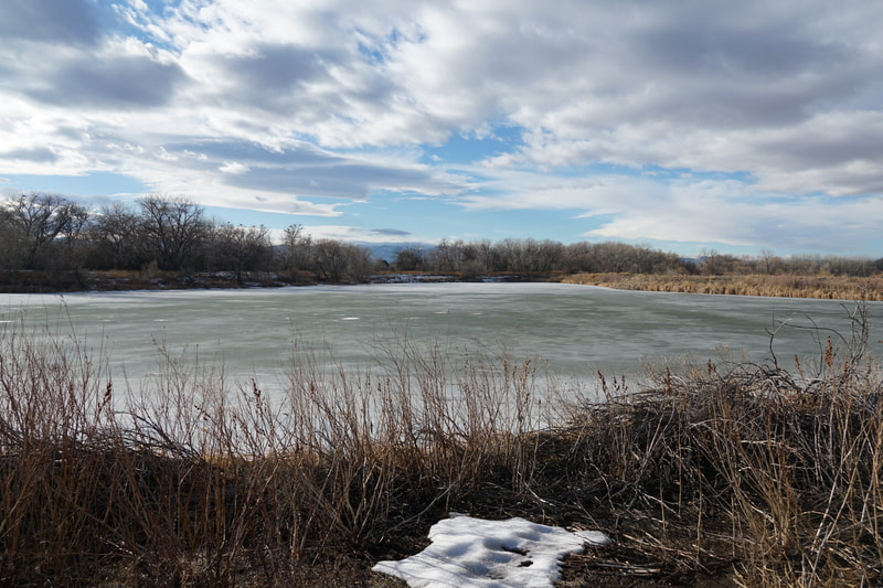
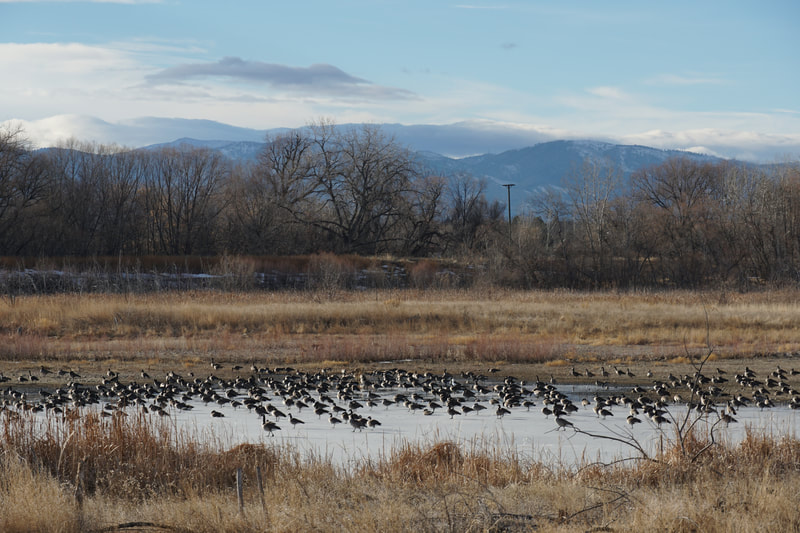
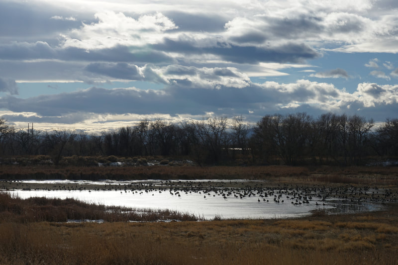
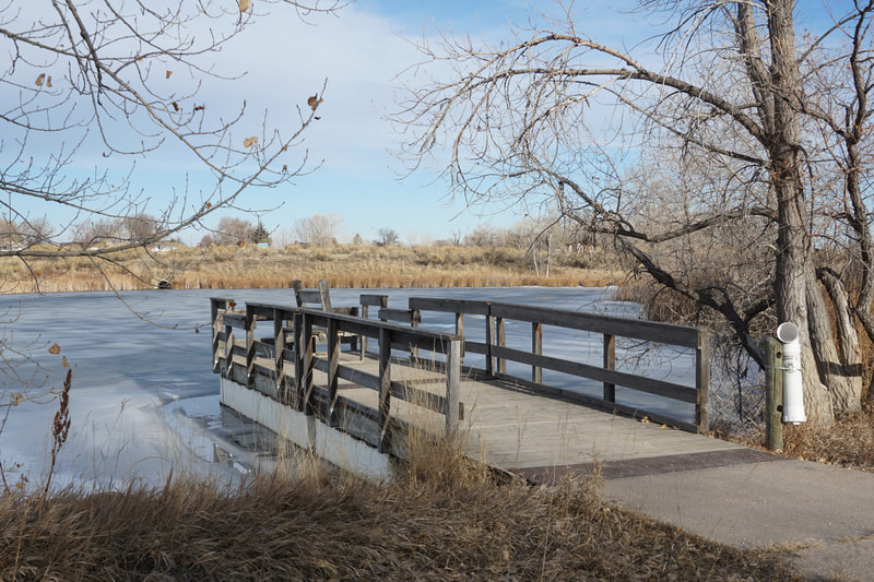
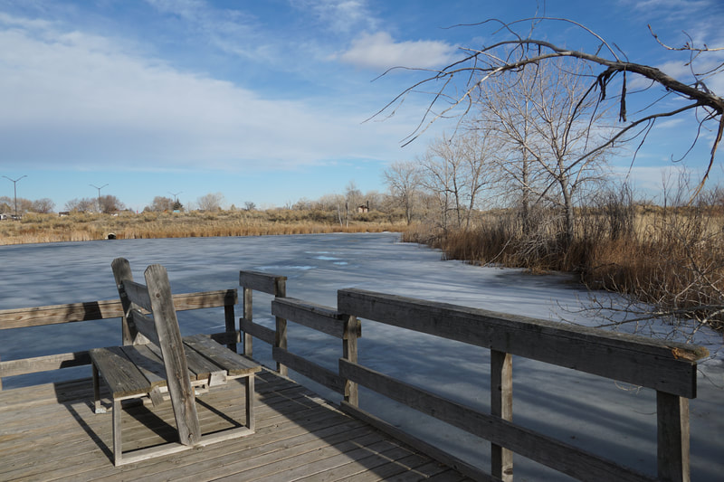
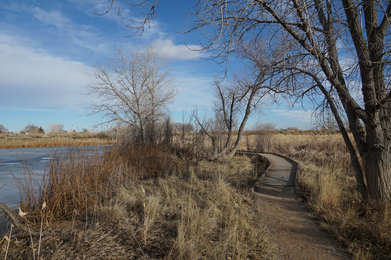
The Running Deer Natural Area is a pleasant open space park perfect for an easy stroll along the Cache La Poudre river corridor. The Natural Area features nice views of the foothills west of Fort Collins, including the iconic Horsetooth Rock, and a historic fire lookout tower that provides a relaxing space to enjoy nature. The wide paths provide easy hiking loops and multiple ponds for fishing and wildlife viewing. The main trailhead is on Prospect Road and accesses the area from the north. From the TH there are three options, the outermost trail to the east passes through a construction area so I'd recommend taking the middle trail south. As you reach the southern reaches of the area and the junction with the other trails, turn left (east) and follow the trail as it turns south. A few minutes later you'll arrive at the lookout tower. The trail continues to the south, but retrace your steps back to the trail junction. For your return to the trailhead, I recommend taking the western trail as it is far more scenic. This trail actually crosses over to the Cottonwood Hollow Natural Area and passes by two large ponds. As you head north skirting the eastern shores of the ponds the trail will turn to the east and reenter the Running Deer Natural Area. Follow the trail as it passes by another small pond with a wooden dock and a short boardwalk. Soon you'll return to the trailhead. As with many of the Fort Collins Natural Areas, Running Deer provides a pleasant experience for hikers of all ages and skill levels. The wide open spaces provide nice views, especially around sunset, and the fire tower adds a little something special to this easy hike. |
- HOME
- ABOUT
-
HIKES BY REGION
-
NATIONAL PARK HIKES
- BENT'S OLD FORT NATIONAL HISTORIC SITE
- BLACK CANYON OF THE GUNNISON NATIONAL PARK
- COLORADO NATIONAL MONUMENT
- CURECANTI NATIONAL RECREATION AREA
- DINOSAUR NATIONAL MONUMENT
- FLORISSANT FOSSIL BEDS NATIONAL MONUMENT
- MESA VERDE NATIONAL PARK
- ROCKY MOUNTAIN NATIONAL PARK
- GREAT SAND DUNES NATIONAL PARK
- HOVENWEEP NATIONAL MONUMENT
- SAND CREEK MASSACRE NATIONAL HISTORIC SITE
- YUCCA HOUSE NATIONAL MONUMENT
- HIKES BY CATEGORY
- NEWS
- WEBCAMS
- $UPPORT GHC
- INTERACTIVE MAP
Historic Fire Lookout
Running Deer Natural Area
Date Hiked: January 26, 2020
Distance: 1.8 mi (RT)
Elevation Gain: minimal
Elevation: 4,870
Trailhead Lat/Long: 40º 33' 58" N; 105º 01' 01" W
Managing Agency: City of Fort Collins Natural Areas
Fee: None

