|
Directions: From Fort Collins head north on 287 past the turn off for Poudre Canyon to the town of Livermore. Turn left off of 287 at the “Forks” onto Red Feather Lakes Road. Almost immediately turn right at the sign for Eagle’s Nest Open Space. Follow the narrow but good dirt road for about 1 mile to the end of the road and the trailhead and parking area,
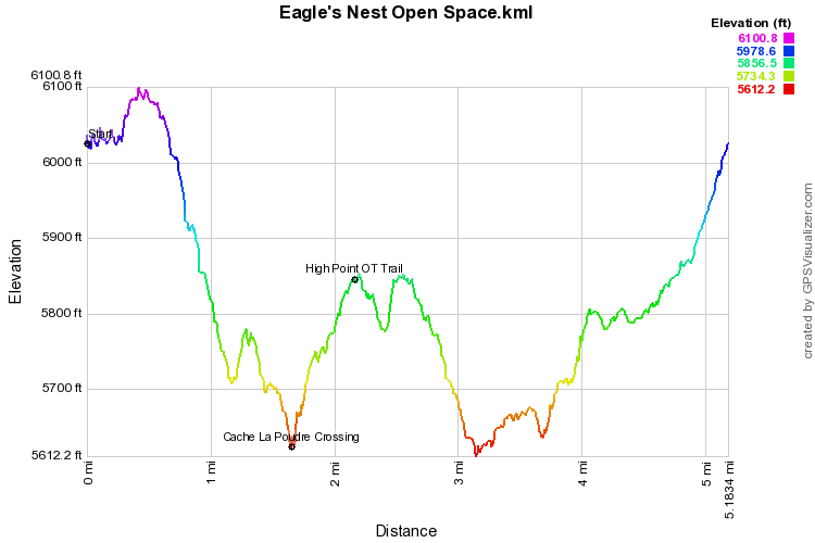
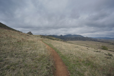
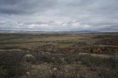
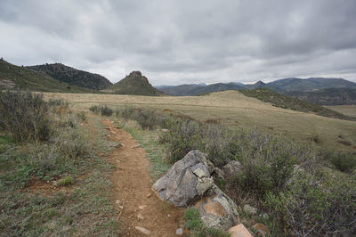
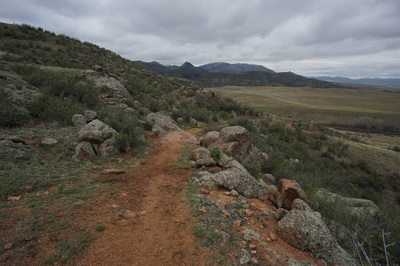
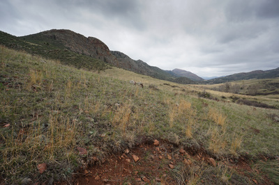
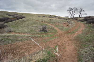
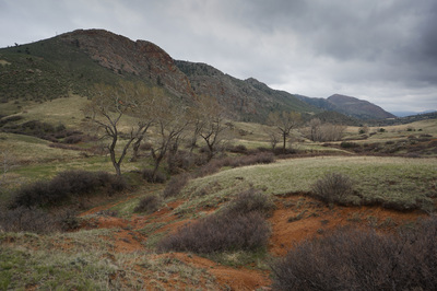
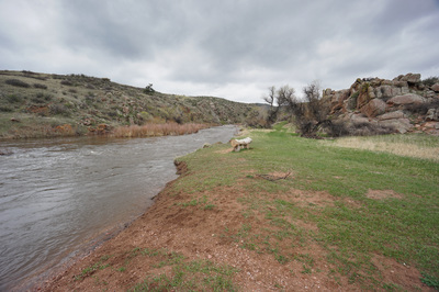
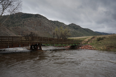
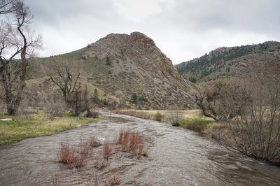
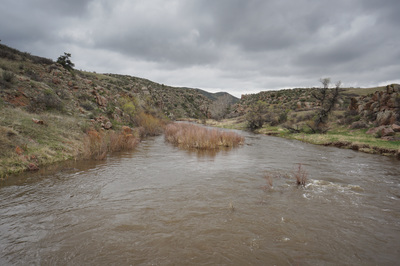
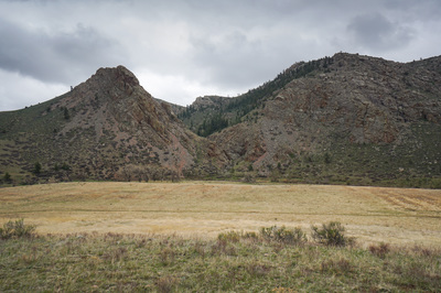
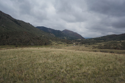
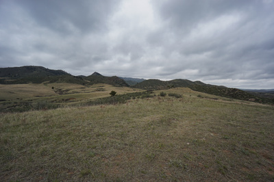
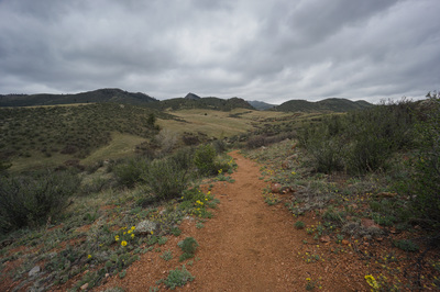
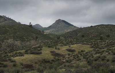
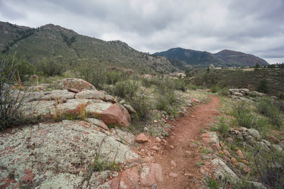
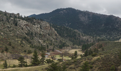
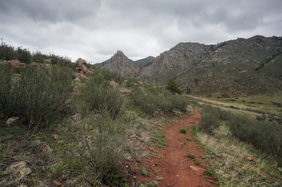
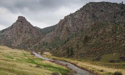
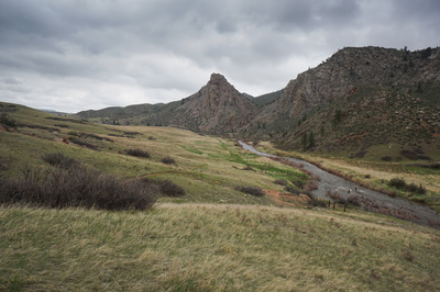
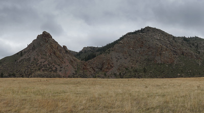
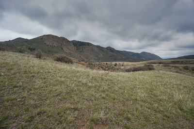
The Eagle’s Nest Open Space is a wonderful and exciting hiking area northwest of Fort Collins. The hike showcases the towering Eagle’s Nest Rock and Eagle’s Nest Peaks and looks west toward the Rawah Mountains in the distance. The area is made up of two loops connected by a scenic crossing of the North Fork of the Cache La Poudre River. Hiking both loops results in a 5 mile jaunt over hills and across open flowing meadows along the river. From the parking area, bear left at the trailhead sign and skirt along the hillside gradually descending down to the valley floor on the 3 Bar Trail. This portion of the hike provides great views of the wide open spaces of northern Colorado. As you descend, the western views open up and the unique topography becomes more evident. The trail leads down to a 4 way crossing with a dirt road. White lines have been spray painted on the ground here to show that the trail continues straight ahead on the other side of the road. This is also the spot where the first views of Eagle’s Nest Rock can be seen in its full glory…don’t worry it won’t be the last. Gain some elevation after the road, then descend further, through a gate down to the Cache La Poudre River crossing. On the other side of the Poudre River you begin the OT Trail, I suggest a counter-clockwise direction by bearing right at the fork. The trail climbs up to the top of a ridge with 360 degree views. As the trail descends the canyon views to the west are stellar and the Eagle’s Nest Rock becomes ever more iconic. Descend down to the river and turn left as the trail parallels the river back to the crossing. When you re-join the 3 Bar Trail bear left and follow the wide dirt road as it gradually rises back to the parking area. As you near the trailhead be sure to look behind you for the wonderful westerly views. |
- HOME
- ABOUT
-
HIKES BY REGION
-
NATIONAL PARK HIKES
- BENT'S OLD FORT NATIONAL HISTORIC SITE
- BLACK CANYON OF THE GUNNISON NATIONAL PARK
- COLORADO NATIONAL MONUMENT
- CURECANTI NATIONAL RECREATION AREA
- DINOSAUR NATIONAL MONUMENT
- FLORISSANT FOSSIL BEDS NATIONAL MONUMENT
- MESA VERDE NATIONAL PARK
- ROCKY MOUNTAIN NATIONAL PARK
- GREAT SAND DUNES NATIONAL PARK
- HOVENWEEP NATIONAL MONUMENT
- SAND CREEK MASSACRE NATIONAL HISTORIC SITE
- YUCCA HOUSE NATIONAL MONUMENT
- HIKES BY CATEGORY
- NEWS
- WEBCAMS
- $UPPORT GHC
- INTERACTIVE MAP
Three Bar & OT Trail Loop
Eagle's Nest Open Space
Date Hiked: May 1, 2015
Distance: 5.1 mi (RT)
Elevation Gain: 900ft
Elevation Min/Max: 5,612 to 6,101ft
Trailhead Lat/Long: 40º 46' 59" N; 105º 12' 56" W
Managing Agency: Larimer County Open Space
Fee: None

