|
|
DIRECTIONS: From I-25 take the Harmony Road exit (265) and follow Harmony Road west all the way through town and to the foothills. When you reach the foothills the road becomes County Road 38E. Climb up the road to Horsetooth Reservoir and stay straight following signs for Horsetooth Mountain. The road curves around the south end of the reservoir and passes the large Blue Sky Trailhead. Turn right on Shoreline Drive and follow to the end, 1 mile ahead, where you will find the Soderberg Trailhead.
|
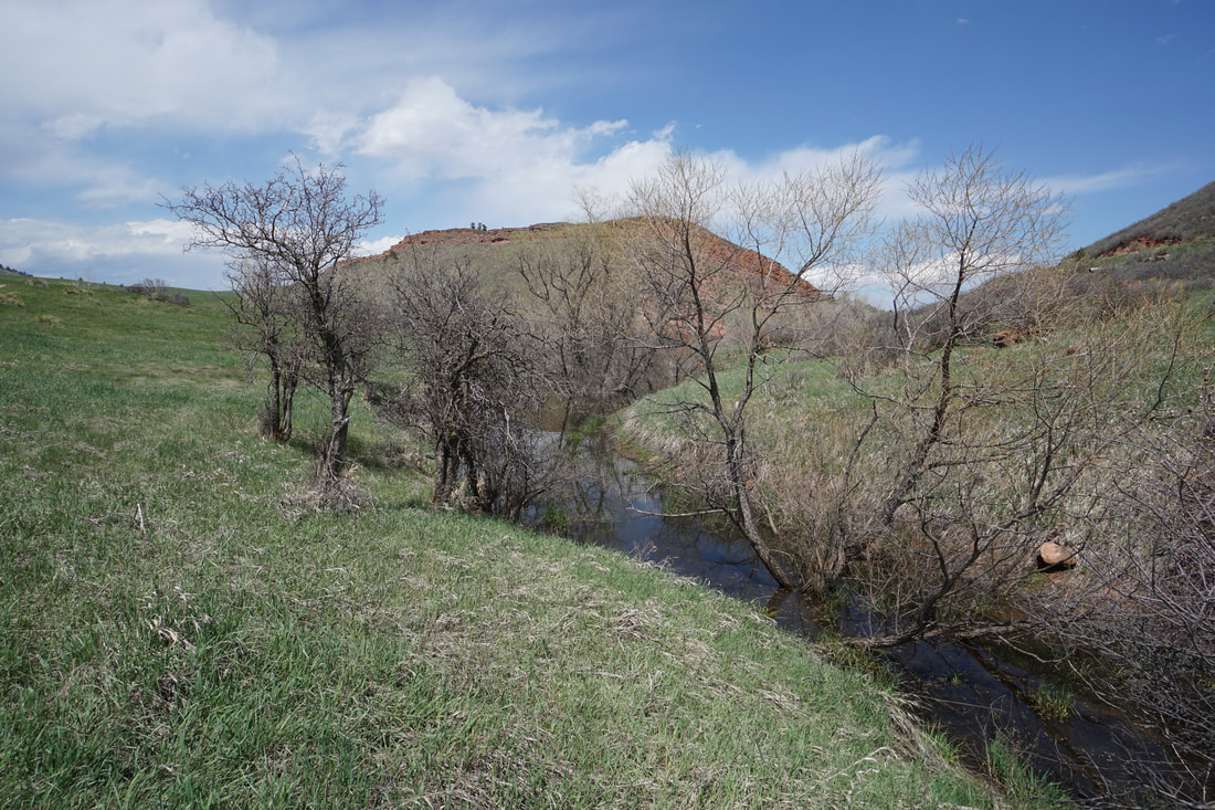
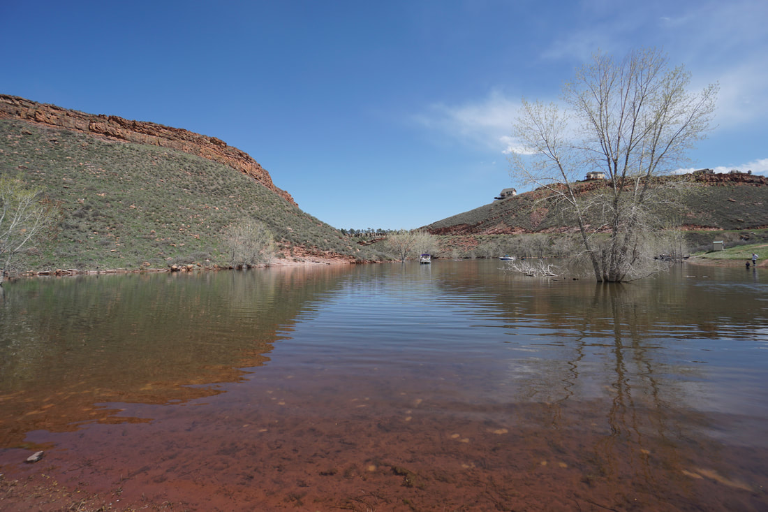
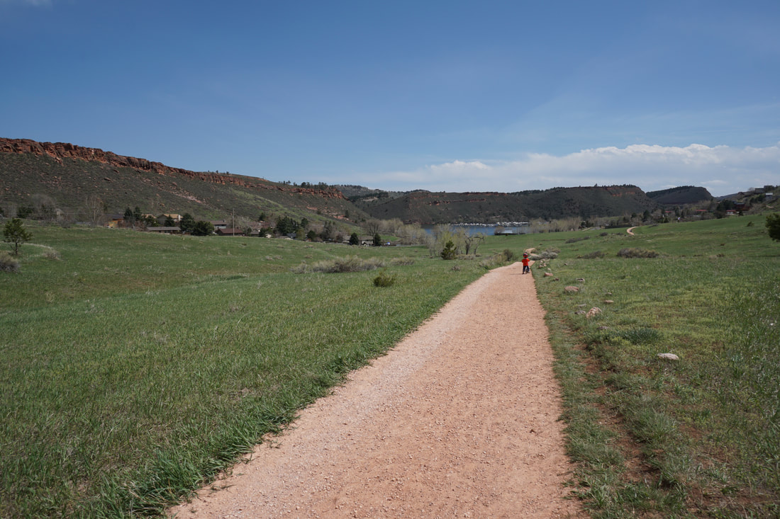
The hike out to Dixon Cove is a nice, but popular, short hike along the lower reaches of Horsetooth Mountain Open Space. The trail is popular with mountain bikers and hikers alike and the cove is popular with boaters coming in from Horsetooth Reservoir. The trail is great for kids and the cove is a fun area to explore.
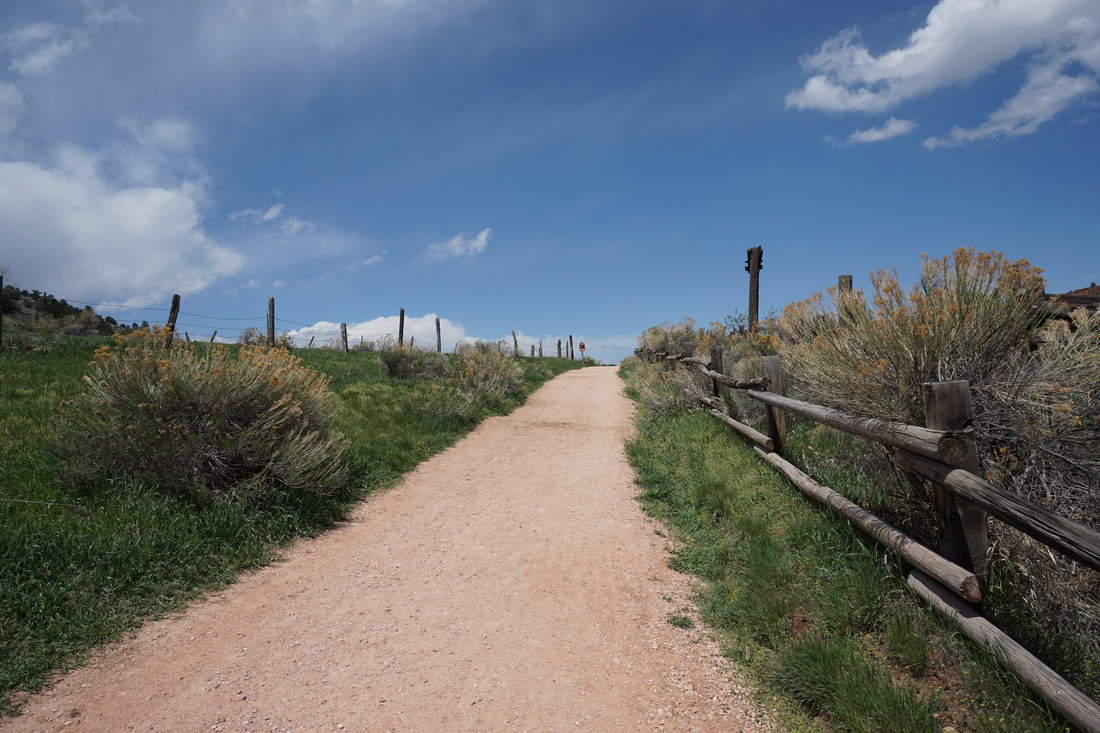
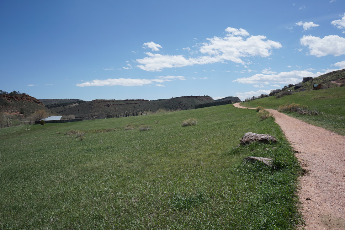
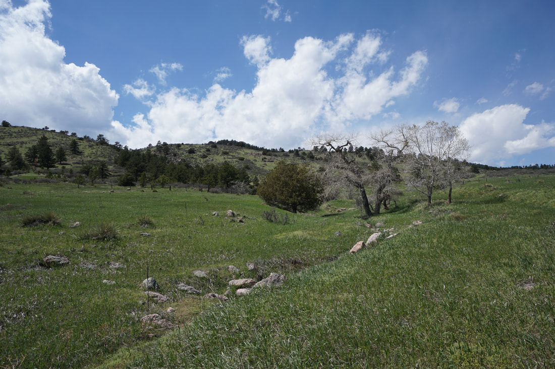
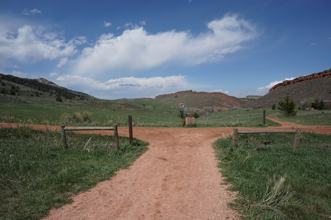
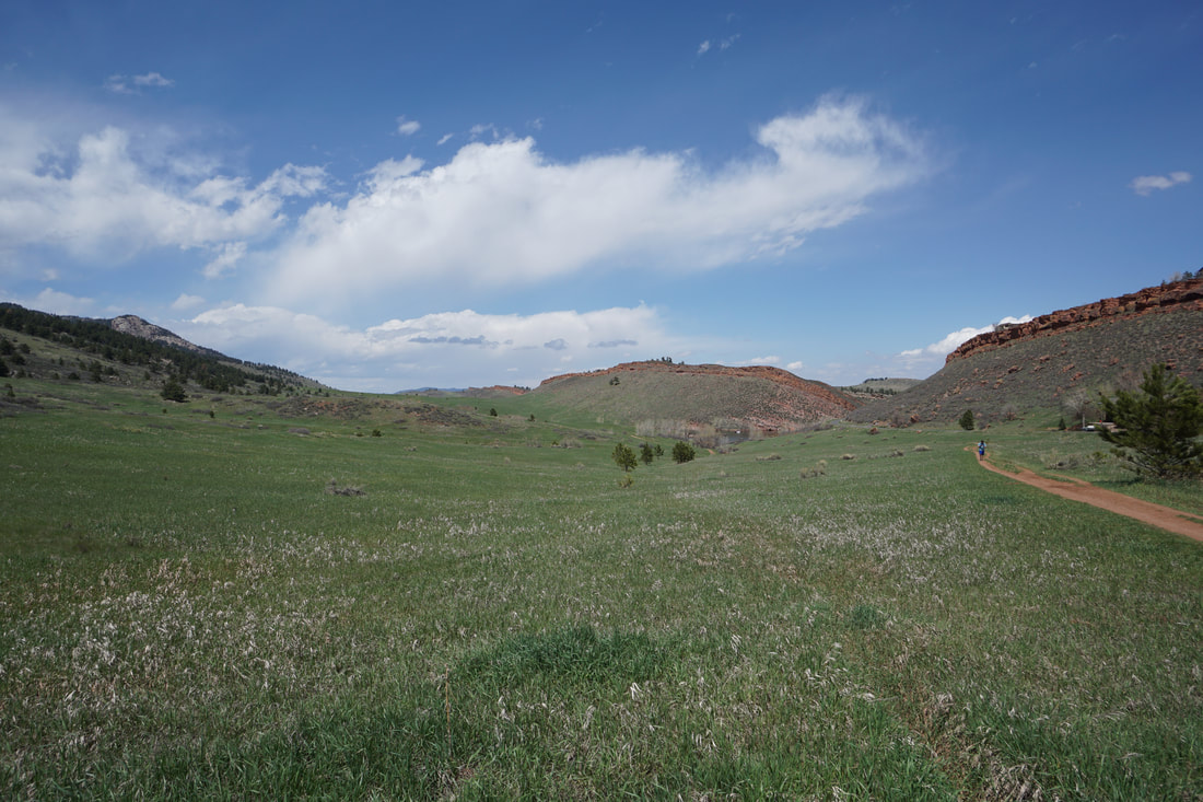
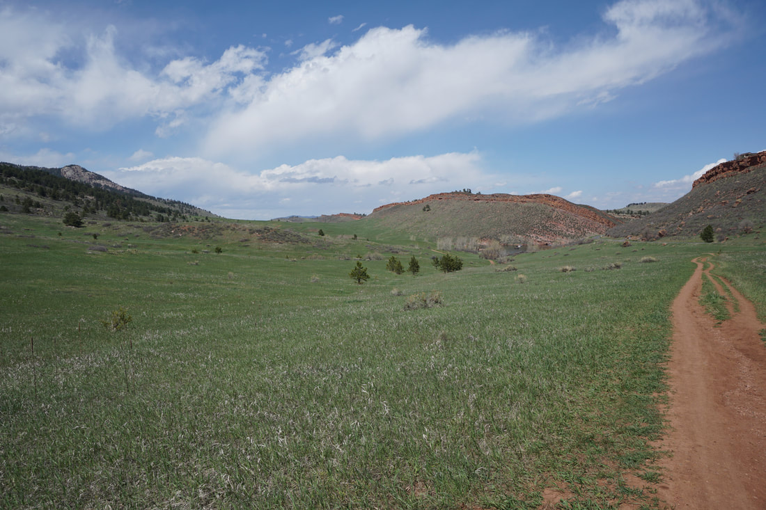
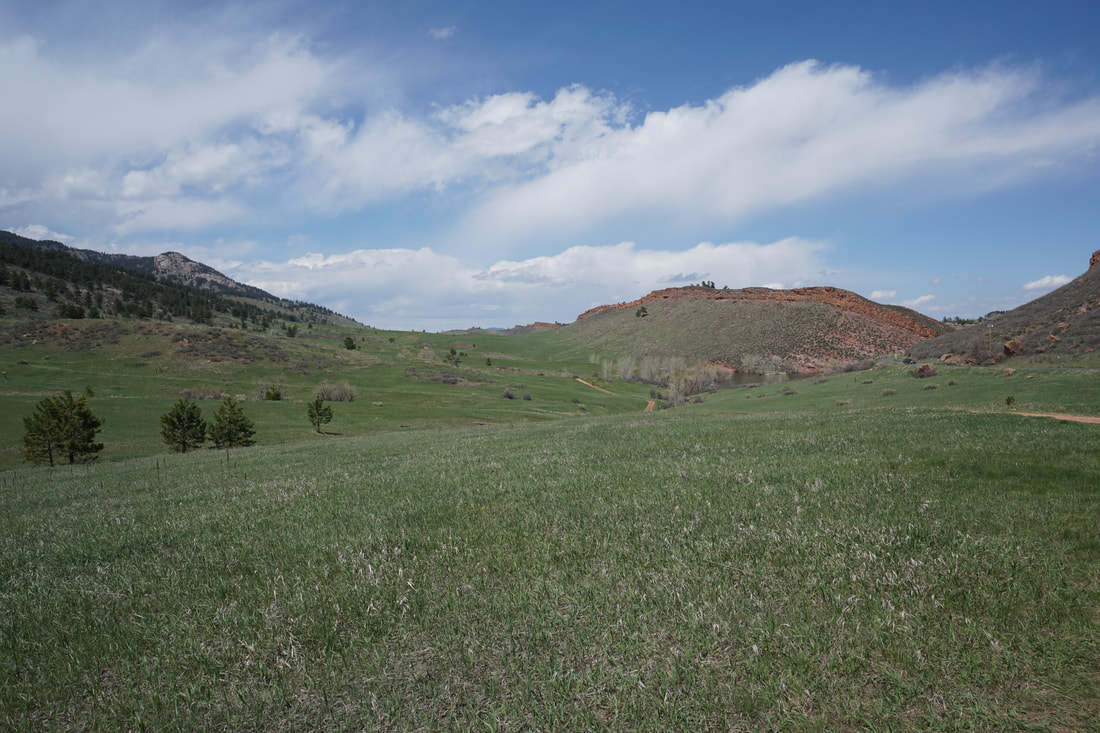
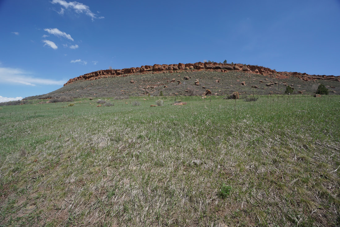
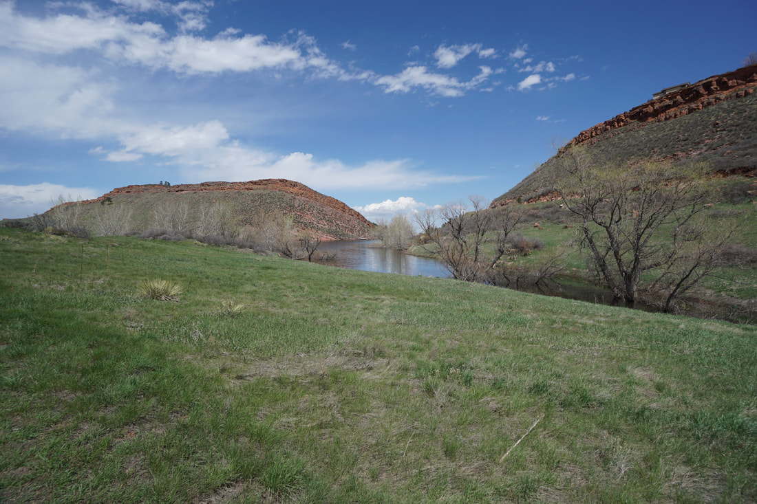
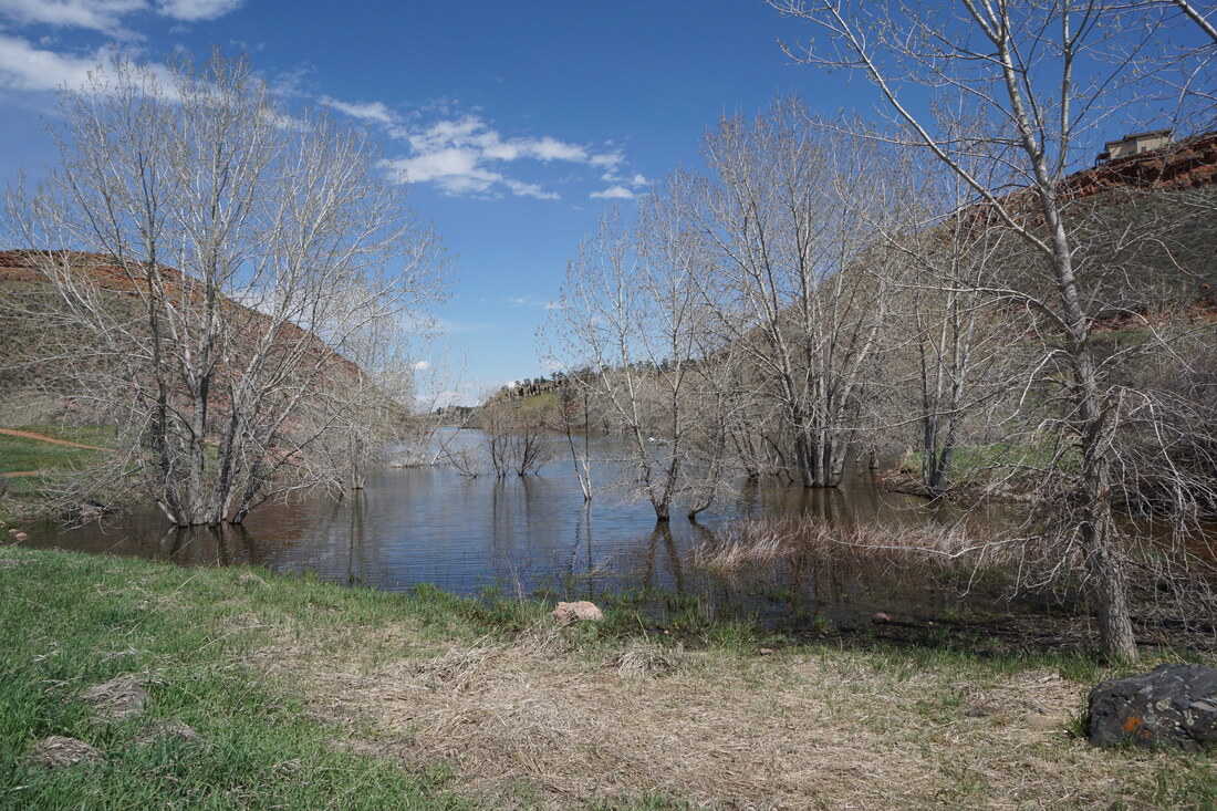
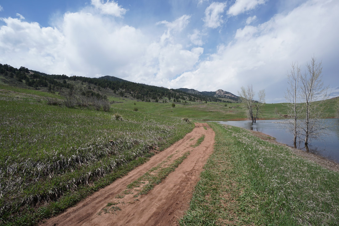
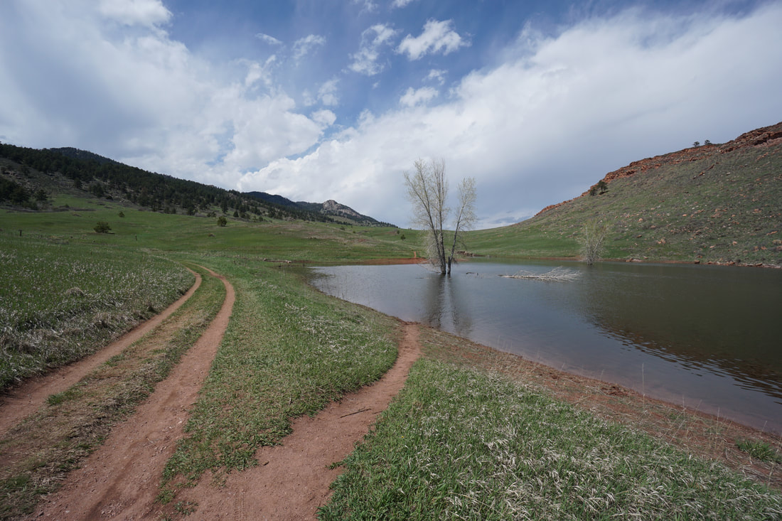
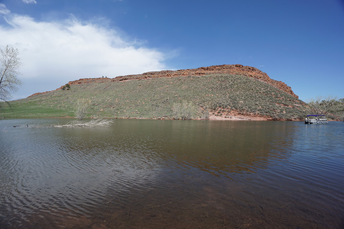
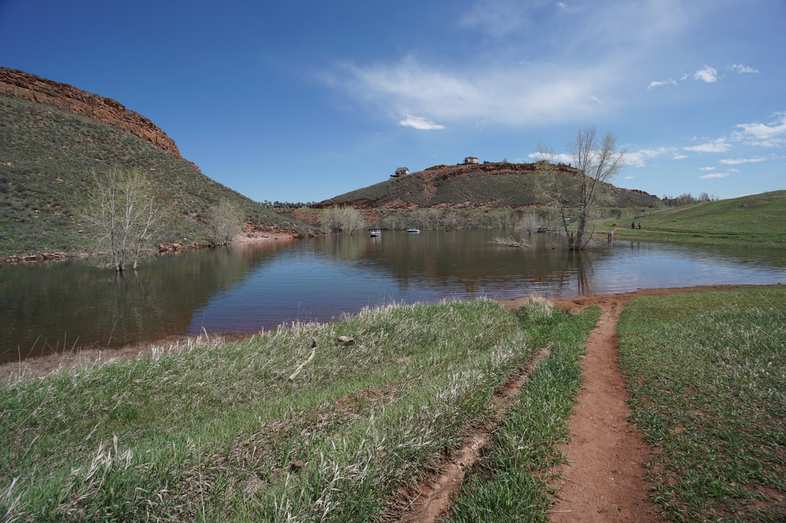
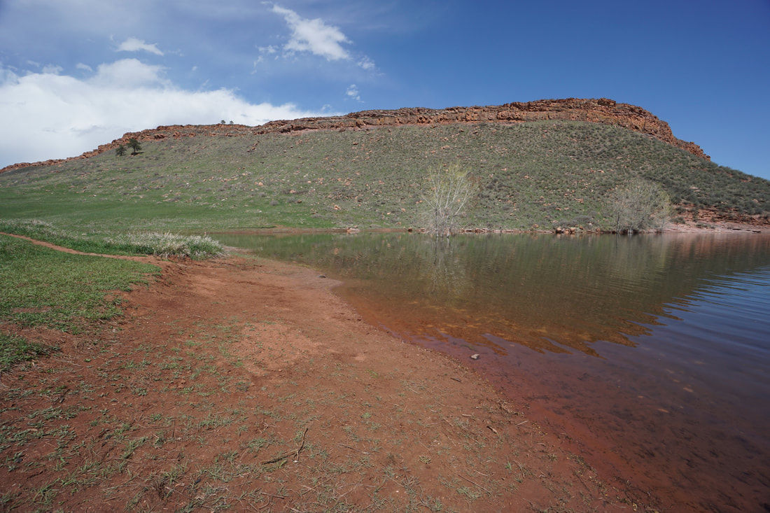
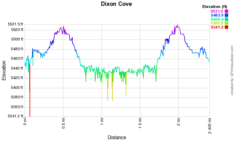
From the Soderberg Trailhead the wide path leads up a wide valley with the hills of Horsetooth Mountain on the left and the red rock hogback on the right. After a little less than half a mile, you'll reach a pass which is the junction of the Towers Trail heading up Horsetooth Mountain, and the Shoreline Trail heading down to Dixon Cove. Follow the Shoreline Trail down the valley and you'll reach the southern inlet of Dixon Cove after 1/4 mile. The far side of the cove is just .3 miles further. The cove is a very pleasant place to spend some time, but it does get crowded. To the north you get some views of Lory State Park's Arthur's Rock and the views of the red rock tinged ridge near Horsetooth Reservoir is also very nice. When you are finished relaxing head back the way you came. For a slightly longer adventure, you can continue on the Shoreline Trail for just a few minutes and take the Nomad Trail back to the Towers Trail and the pass leading back to the trailhead. |
|