|
DIRECTIONS: From I-25 in Fort Collins, take Hwy 14 (Mulberry Street) west and turn left (south) on Lemay Ave. Turn left (east) Poudre River Drive which becomes Hoffman Mill Road. Follow to the end of the road and the trailhead is on the north side of the road.
The City of Fort Collins has developed a wonderful system of "Natural Areas" that provide small opportunities for hiking and outdoor recreation scattered throughout the city. Many of these areas are located along the Cache La Poudre River and can be linked for long bike rides or long walks. These areas are great for quick hikes, playing with the kids, or just getting some fresh air.
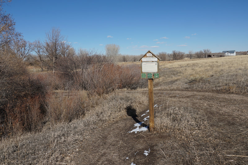
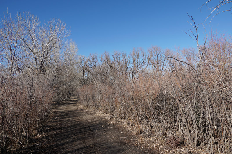
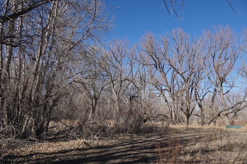
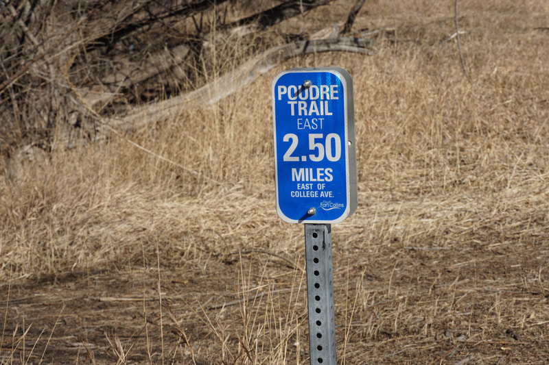
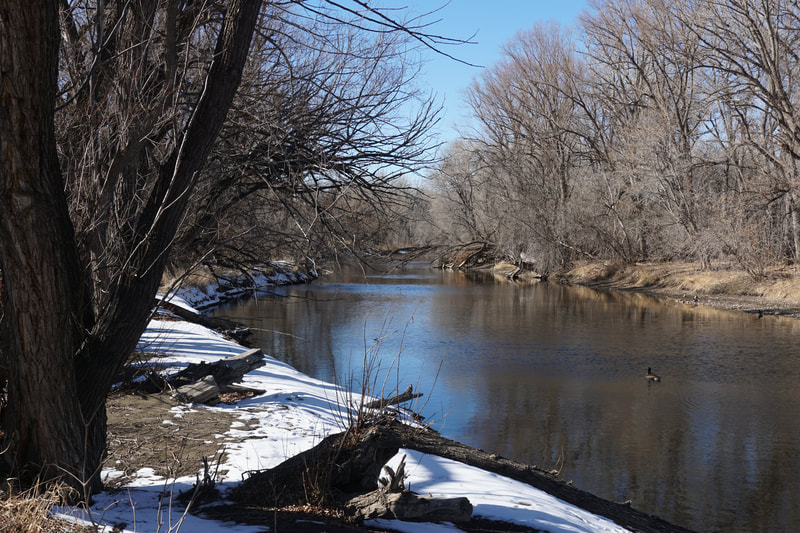
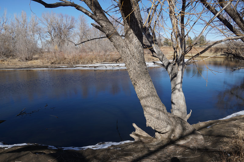
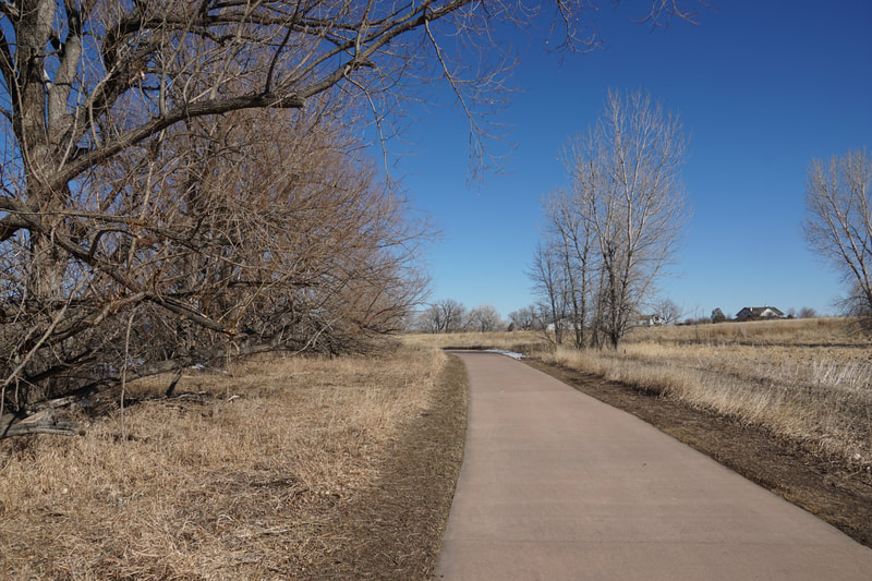
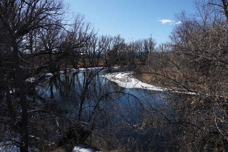
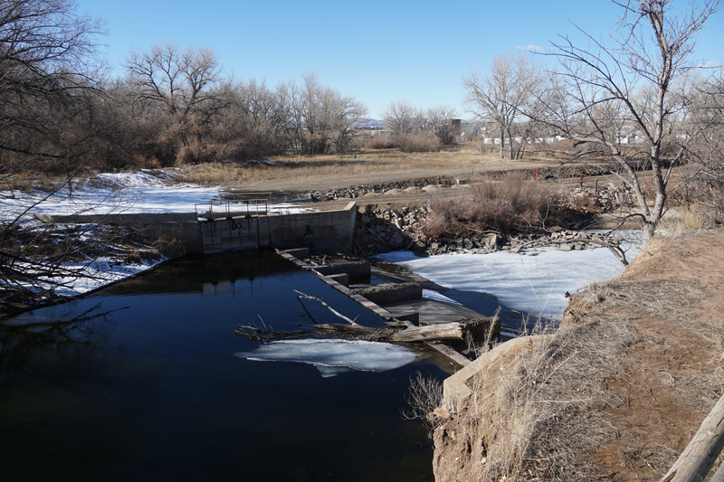
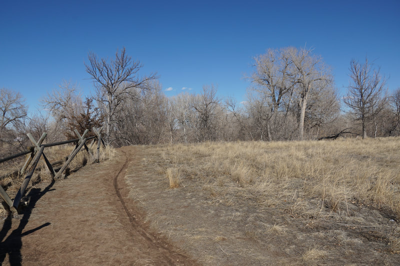
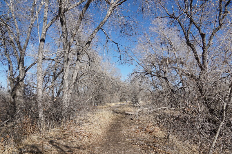
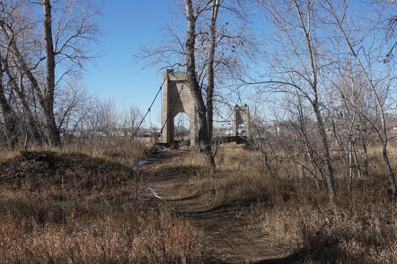
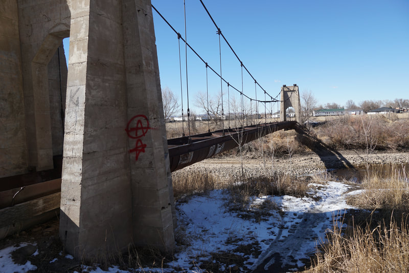
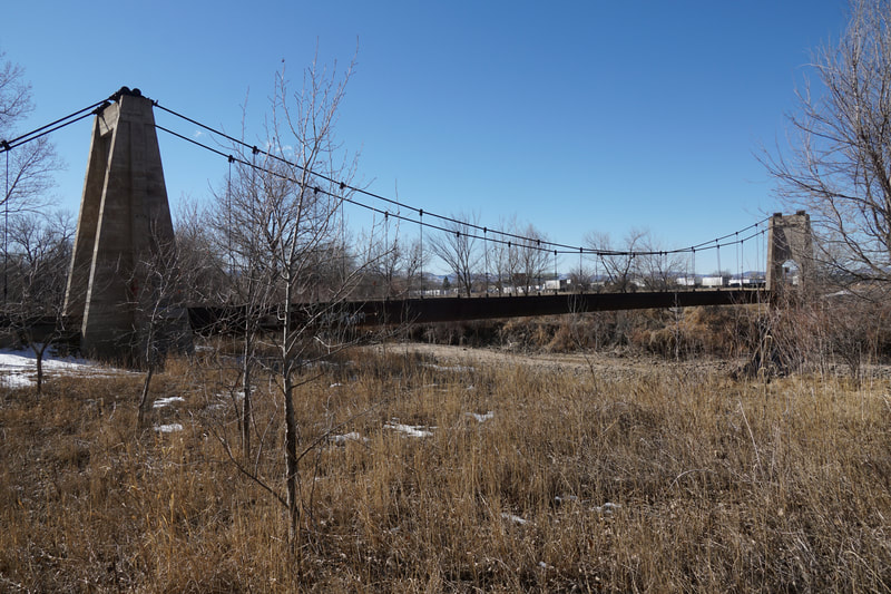
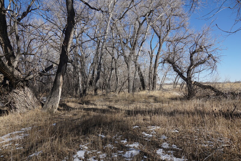
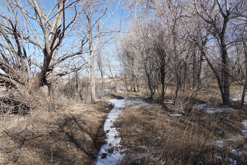
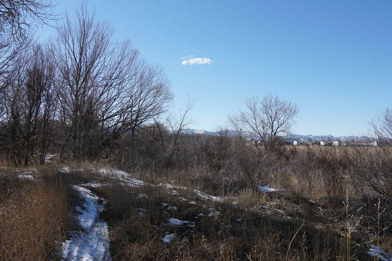
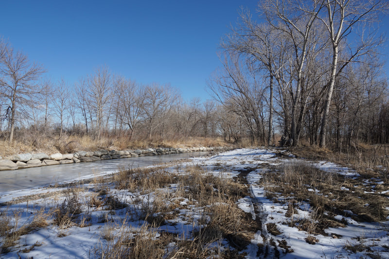
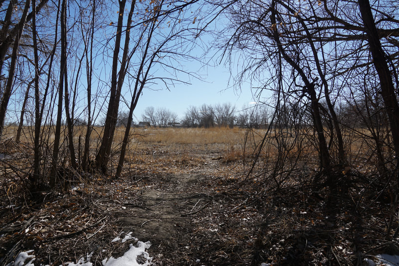
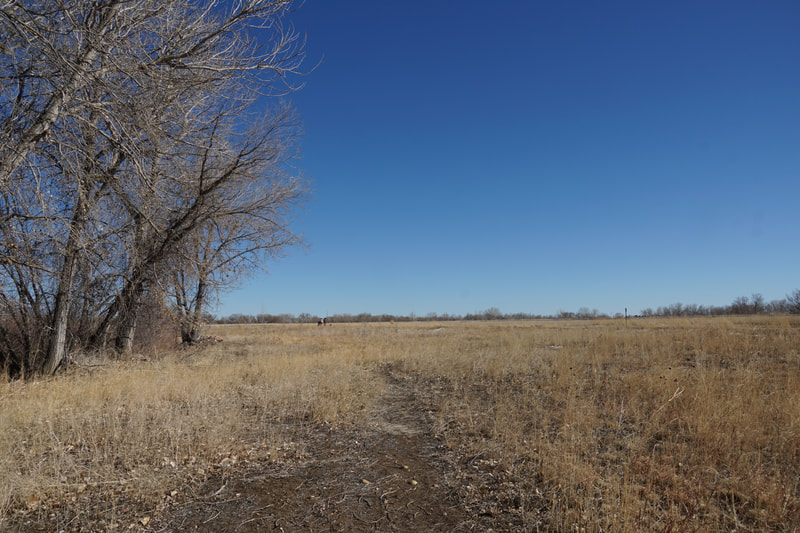
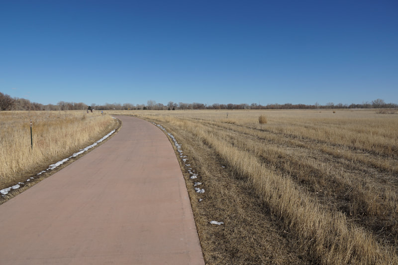
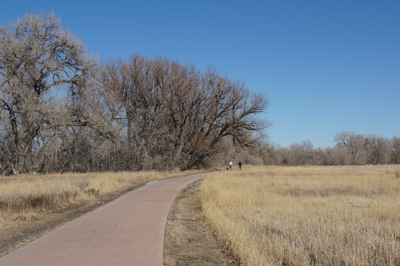
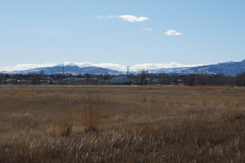
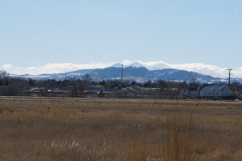
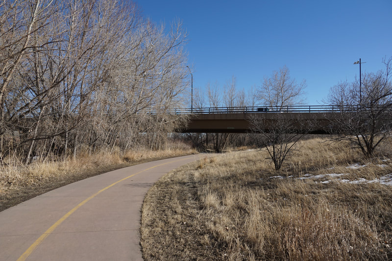
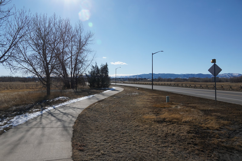
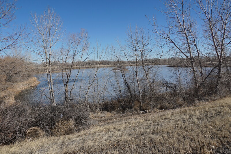
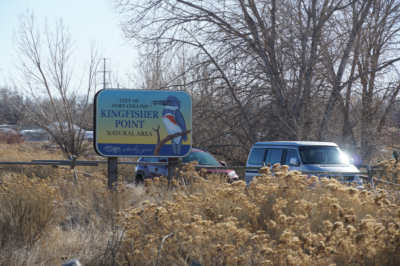
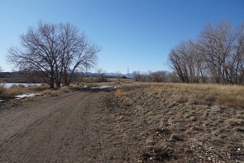
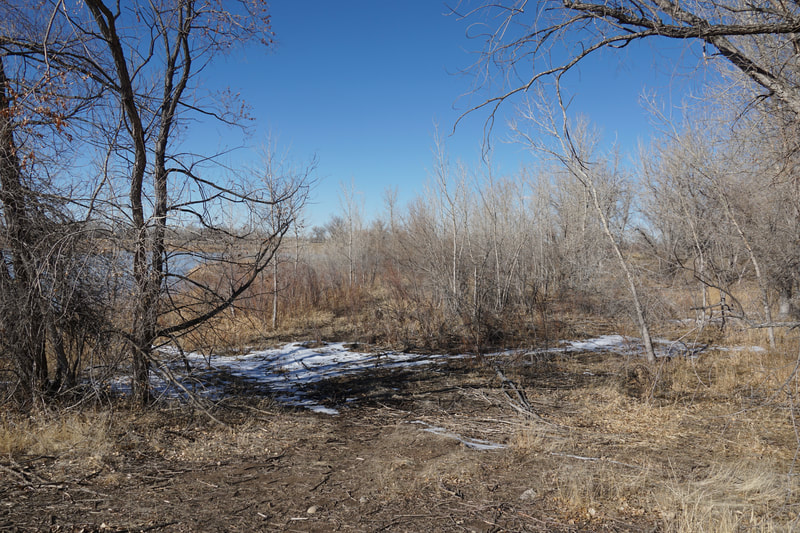
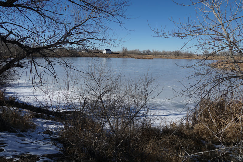
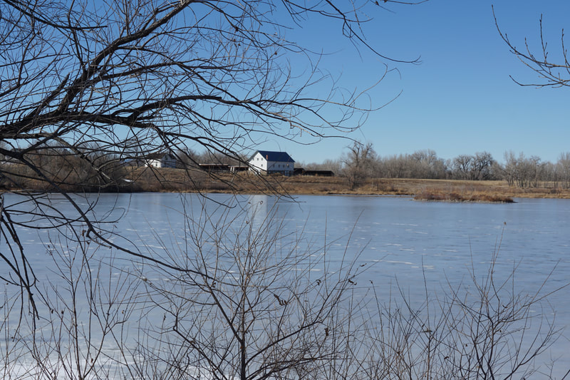
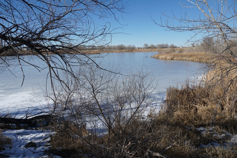
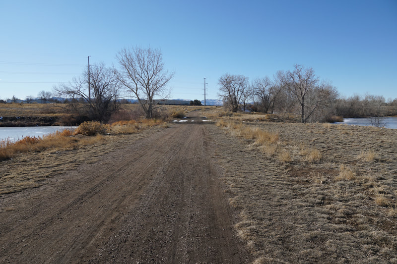
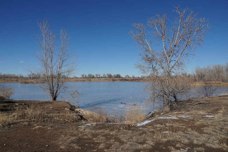
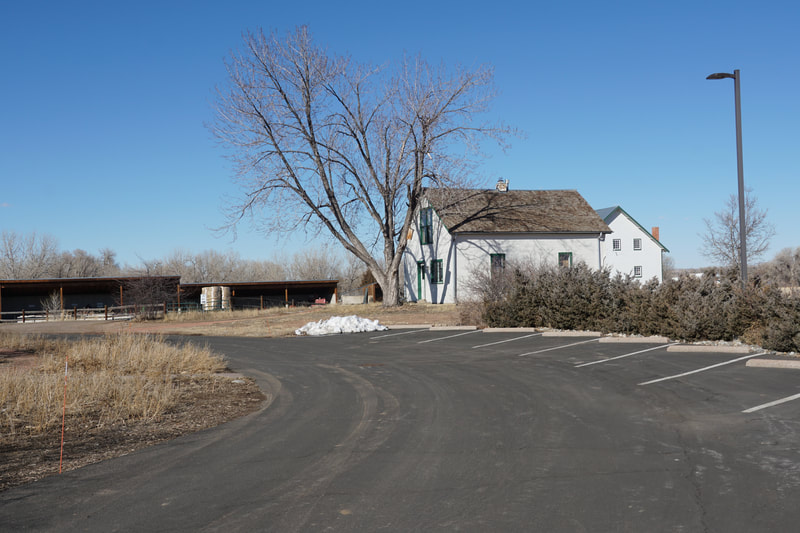
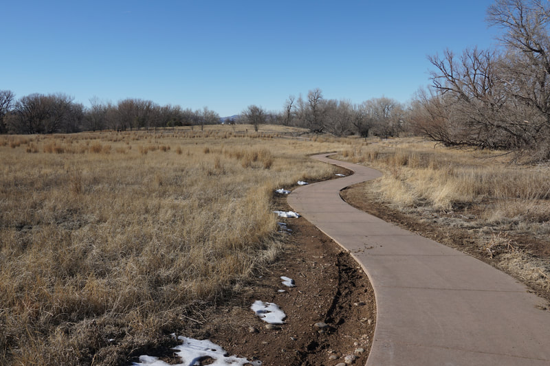
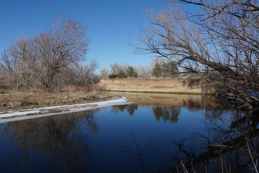
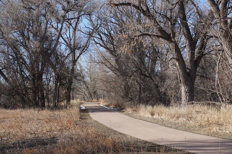
Kingfisher Point Natural Area is an interesting park. It includes two ponds, an open meadow, riverine habitat, and some historic structures. The main trailhead is located on South Timberline Road, but there is also a trailhead tucked away on the western side of the park on Hoffman Mill Road. This hike description starts from the Hoffman Mill Trailhead. The trail starts out through thick willow and cottonwood forest and soon merges with the paved East Poudre Trail. There are some nice access points to the river along this section and some natural surface side trails that allow you to leave the pavement and spend some time in the forest. Follow the social trails east parallel to the paved trail and keep your eyes out for the historic suspension aqueduct, an interest side attraction. Soon after the aqueduct, the trail rejoins the paved East Poudre Trail and continues east. Pass under Timberline Road and turn right. This next section of trail is less than ideal. The trail basically becomes a sidewalk as you walk along the road. When you see the trailhead on the opposite side of the road, cross over Timberline road to the parking lot. The trail then continues to the west and passes by the two ponds with some nice opportunities for bird and wildlife watching. To return to the East Poudre Trail you need to cross through a Fort Collins Natural Areas building, just cross the parking lot and look for the trail signs. Once you return to the East Poudre Trail head west until you reach the spur trail back to the trailhead. |
- HOME
- ABOUT
-
HIKES BY REGION
-
NATIONAL PARK HIKES
- BENT'S OLD FORT NATIONAL HISTORIC SITE
- BLACK CANYON OF THE GUNNISON NATIONAL PARK
- COLORADO NATIONAL MONUMENT
- CURECANTI NATIONAL RECREATION AREA
- DINOSAUR NATIONAL MONUMENT
- FLORISSANT FOSSIL BEDS NATIONAL MONUMENT
- MESA VERDE NATIONAL PARK
- ROCKY MOUNTAIN NATIONAL PARK
- GREAT SAND DUNES NATIONAL PARK
- HOVENWEEP NATIONAL MONUMENT
- SAND CREEK MASSACRE NATIONAL HISTORIC SITE
- YUCCA HOUSE NATIONAL MONUMENT
- HIKES BY CATEGORY
- NEWS
- WEBCAMS
- $UPPORT GHC
- INTERACTIVE MAP
Kingfisher Point Natural Area
City of Fort Collins Natural Areas
Date Hiked: February 28, 2021
Distance: 2.2 mi (RT)
Elevation Gain: Minimal
Elevation: 4,940 ft
Trailhead Lat/Long: 40.57477, -105.04859
Managing Agency: City of Fort Collins
Fee: None

