|
DIRECTIONS: From I-25 in Fort Collins, exit at Prospect Road and head west. The parking area and trailhead will be on the right just after Summit View Drive.
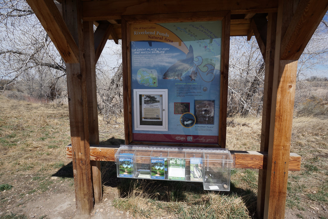
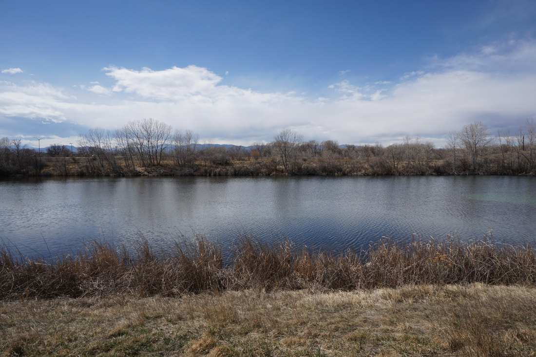
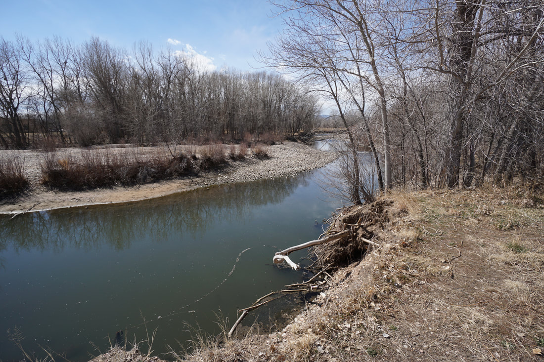
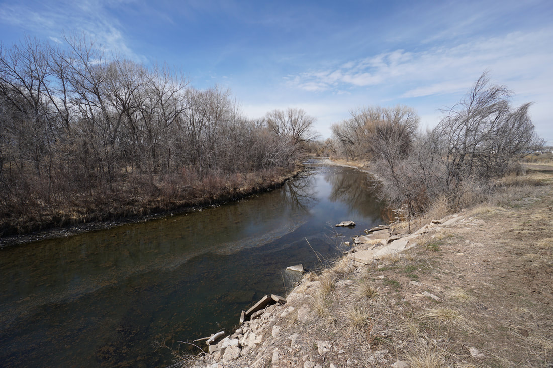
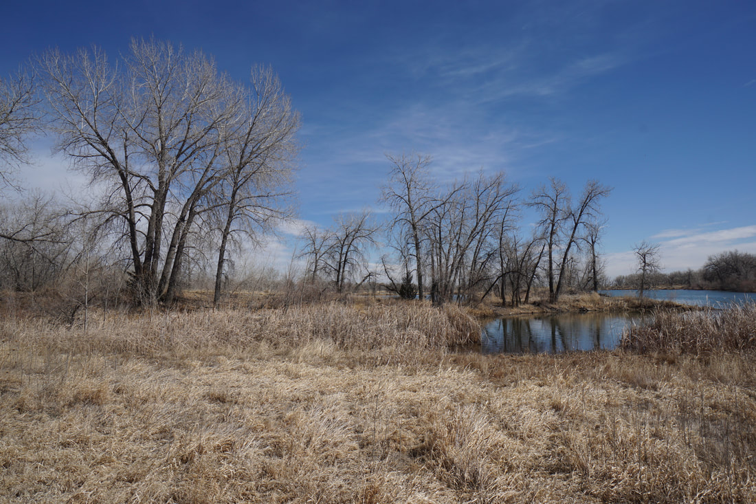
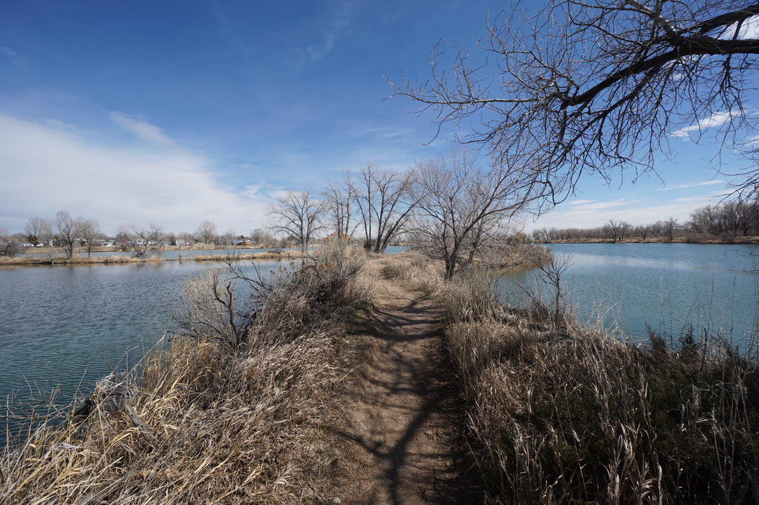
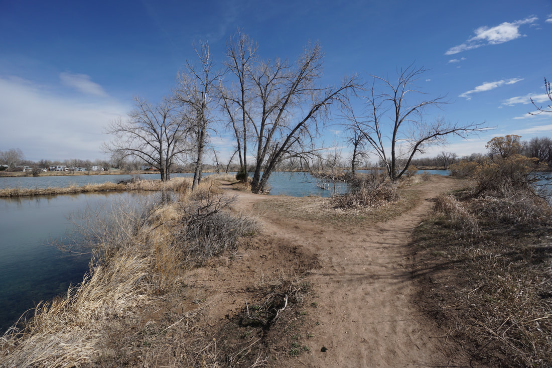
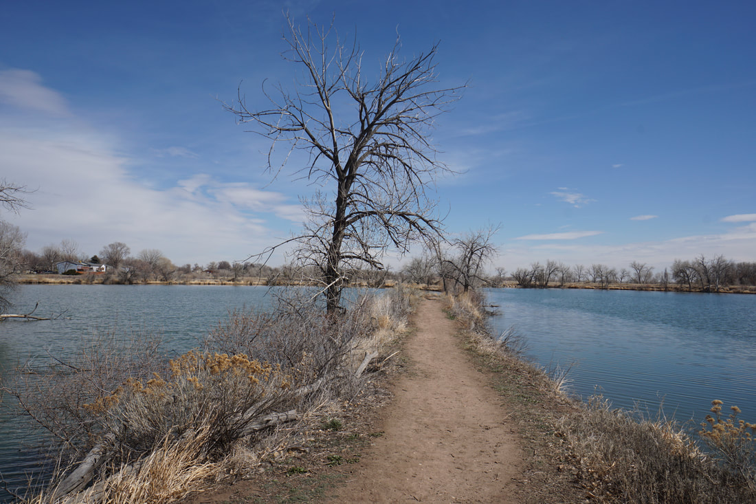
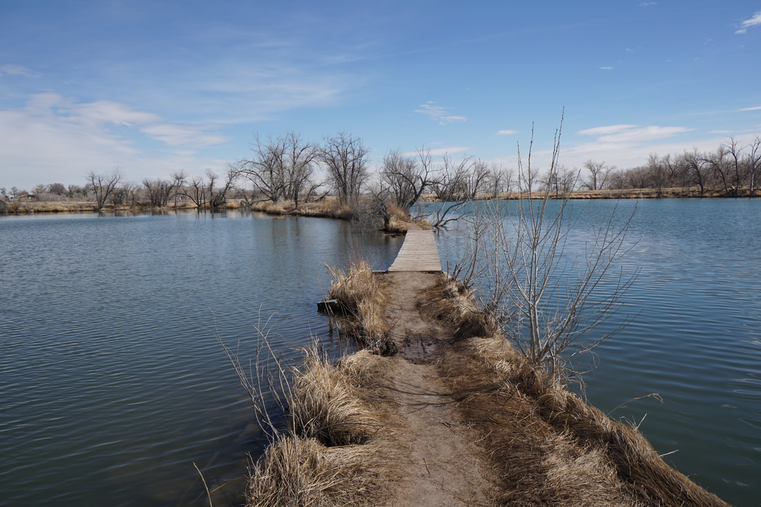
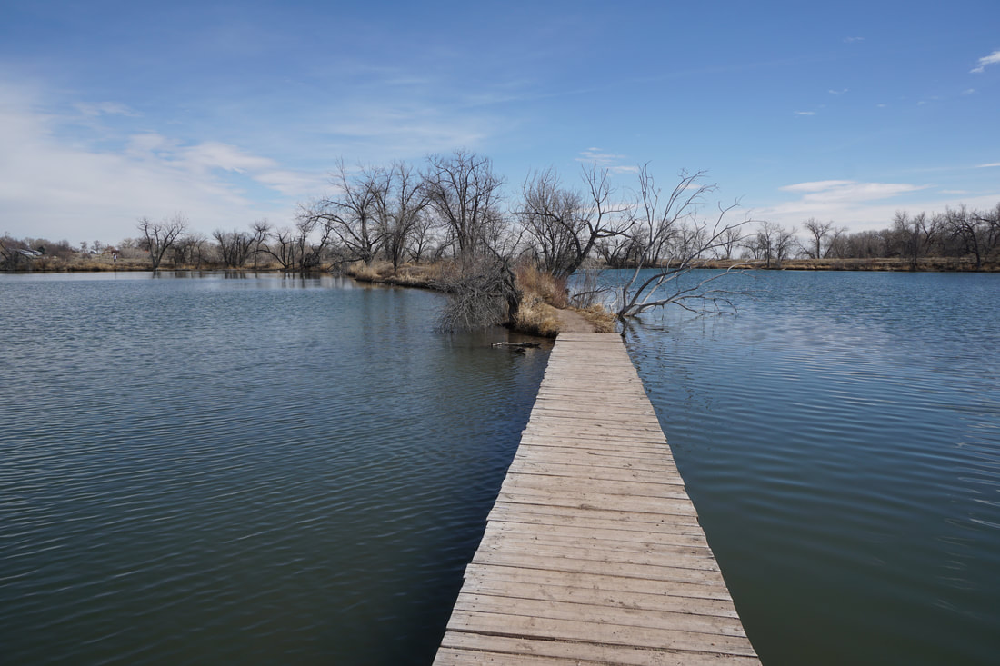
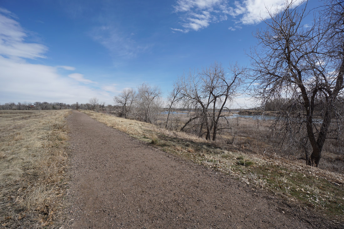
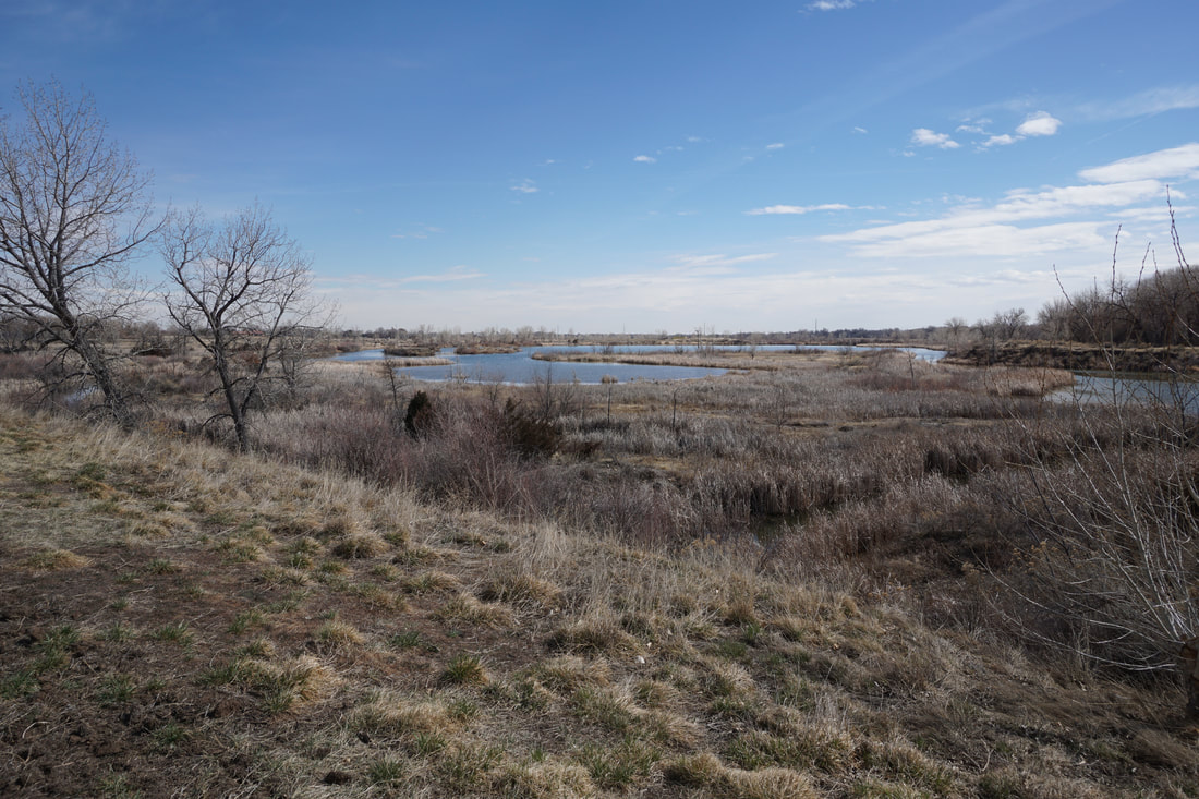
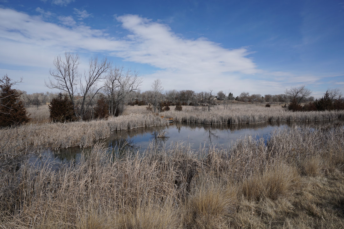
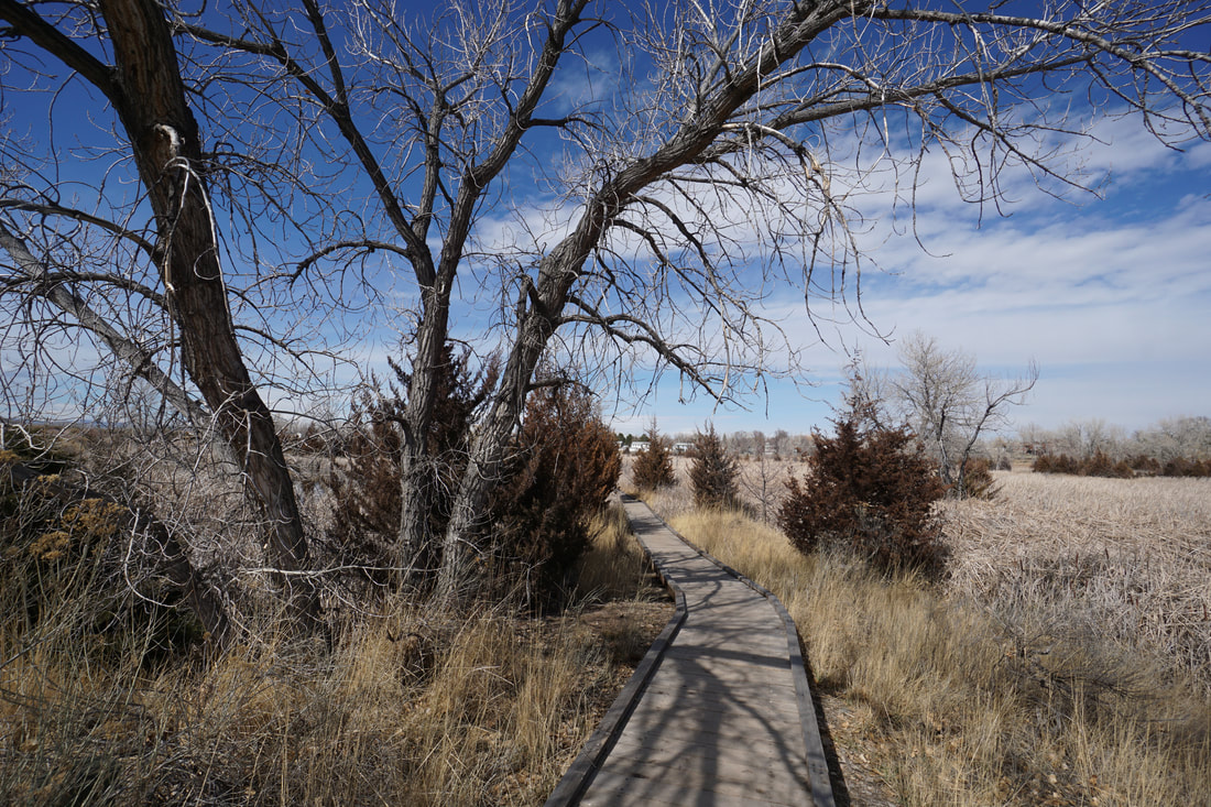
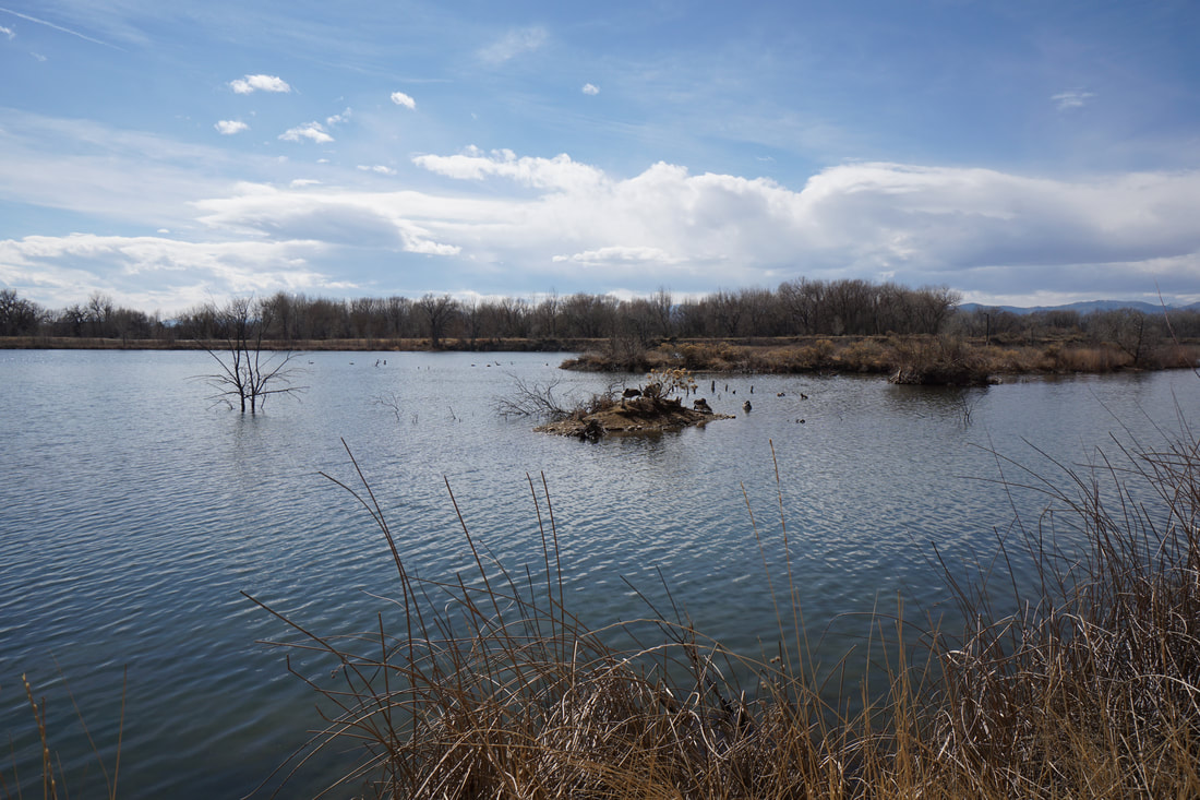
Riverbend Ponds Natural Area is a scenic open space area along the Cache La Poudre River with ample opportunities for fishing, hiking, and wildlife viewing. The NA is also part of the Cache La Poudre River National Heritage Area, a partnership between local governments, non-profits, and the National Park Service. The trails at Riverbend Ponds are designed to navigate around each pond with Big Pond at the center. Any number of loop combinations can be made, but for this hike, you'll visit Big Pond and Wiper Pond. Hiking around Big Pond is almost unavoidable and Wiper Pond is fun because the trail along the eastern shore is extremely narrow with a narrow footbridge in the center. The views as the walk along this portion are simply wonderful. The western portion of the Natural Area follows the Poudre River and there are various spots where you can leave the main trail and explore the river banks. On the eastern side of Big Pond, there is a fun boardwalk system with viewing platforms perfect for wildlife viewing and photography. With the dense cottonwood forests along the river and ponds, this park would be beautiful in the fall, but it has much to offer year-round. The Fort Collins Natural Areas are a great resource and perfect for stretching your legs while staying close to downtown Fort Collins. |
|
- HOME
- ABOUT
-
HIKES BY REGION
-
NATIONAL PARK HIKES
- BENT'S OLD FORT NATIONAL HISTORIC SITE
- BLACK CANYON OF THE GUNNISON NATIONAL PARK
- COLORADO NATIONAL MONUMENT
- CURECANTI NATIONAL RECREATION AREA
- DINOSAUR NATIONAL MONUMENT
- FLORISSANT FOSSIL BEDS NATIONAL MONUMENT
- MESA VERDE NATIONAL PARK
- ROCKY MOUNTAIN NATIONAL PARK
- GREAT SAND DUNES NATIONAL PARK
- HOVENWEEP NATIONAL MONUMENT
- SAND CREEK MASSACRE NATIONAL HISTORIC SITE
- YUCCA HOUSE NATIONAL MONUMENT
- HIKES BY CATEGORY
- NEWS
- WEBCAMS
- $UPPORT GHC
- INTERACTIVE MAP
Big Pond > Wiper Pond Loop
Riverbend Ponds Natural Area
Cache La Poudre River National Heritage Area
Date Hiked: March 21, 2018
Distance: 2.3 mi (RT)
Elevation Gain: Minimal
Elevation: 4,900 ft
Trailhead Lat/Long: 40º 34' 04" N;105º 01' 23" W
Managing Agency: City of Fort Collins
Fee: None