GO HIKE COLORADO
Get in Touch:
  • HOME
  • ABOUT
  • HIKES BY REGION
    • DENVER AREA >
      • Denver Mountain Parks
      • Jefferson County Open Space
      • Lakewood Parks
      • Denver Area Greenways
    • BOULDER AREA
    • DOUGLAS COUNTY
    • FORT COLLINS AREA
    • COLORADO SPRINGS AREA
    • FRONT RANGE
    • TENMILE & MOSQUITO RANGES
    • GORE RANGE
    • SANGRE DE CRISTO MOUNTAINS
    • PARK RANGE
    • SAWATCH RANGE
    • ELK MOUNTAINS
    • SAN JUAN MOUNTAINS
    • THE FLAT TOPS
    • GRAND MESA
    • COLORADO PLATEAU
    • EASTERN PLAINS
  • NATIONAL PARK HIKES
    • BENT'S OLD FORT NATIONAL HISTORIC SITE
    • BLACK CANYON OF THE GUNNISON NATIONAL PARK
    • COLORADO NATIONAL MONUMENT
    • CURECANTI NATIONAL RECREATION AREA
    • DINOSAUR NATIONAL MONUMENT
    • FLORISSANT FOSSIL BEDS NATIONAL MONUMENT
    • MESA VERDE NATIONAL PARK
    • ROCKY MOUNTAIN NATIONAL PARK
    • GREAT SAND DUNES NATIONAL PARK
    • HOVENWEEP NATIONAL MONUMENT
    • SAND CREEK MASSACRE NATIONAL HISTORIC SITE
    • YUCCA HOUSE NATIONAL MONUMENT
  • HIKES BY CATEGORY
    • HIKES TO ALPINE LAKES
    • HIKES TO PEAKS & PASSES
    • HIKES THROUGH CANYONS
    • HIKES WITH FALL COLORS
    • HIKES ALONG THE I-70 CORRIDOR
    • HIKES ON PAVED TRAILS
    • HIKES FOR KIDS
    • HIKES TO WATERFALLS
    • HIKES ALONG RIVERS
    • HIKES WITH ROCK FORMATIONS
    • HIKES WITH WILDFLOWERS
    • WINTER HIKES
  • NEWS
  • WEBCAMS
  • $UPPORT GHC
  • INTERACTIVE MAP

Arapaho Bend Natural Area
City of Fort Collins

Date Hiked: September 12, 2014

Distance: 1.5 mi (RT)

  • Elevation Gain: Negligible
  • Elevation Min/Max: 4,822 to 4,861ft
  • Managing Agency: City of Fort Collins
  • Fee: None

Arapaho Bend NA Website
Picture

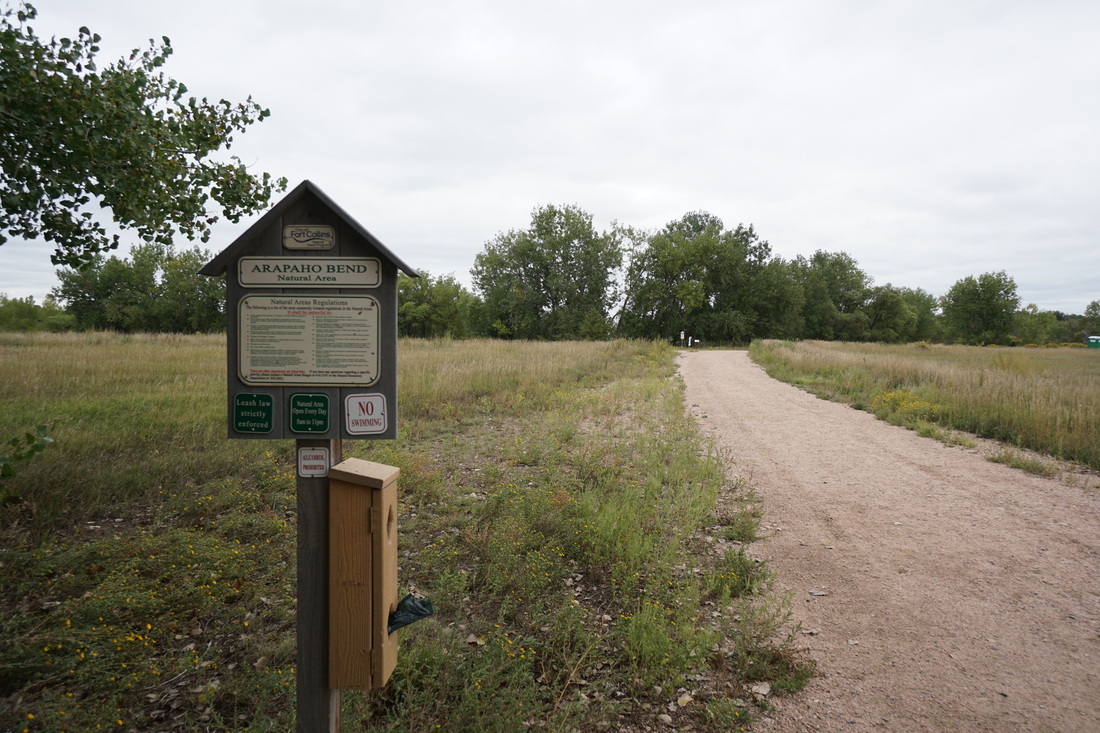
Directions:  The trailhead is located on Strauss Cabin Road.  From I-25 take the Harmony Road Exit west and turn right (north) on Strauss Cabin Road.  The trailhead is on your left.

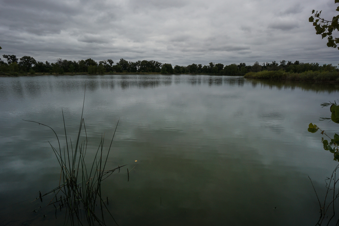
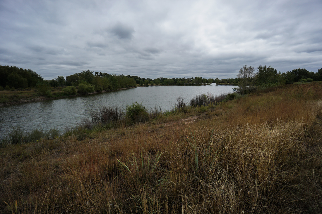
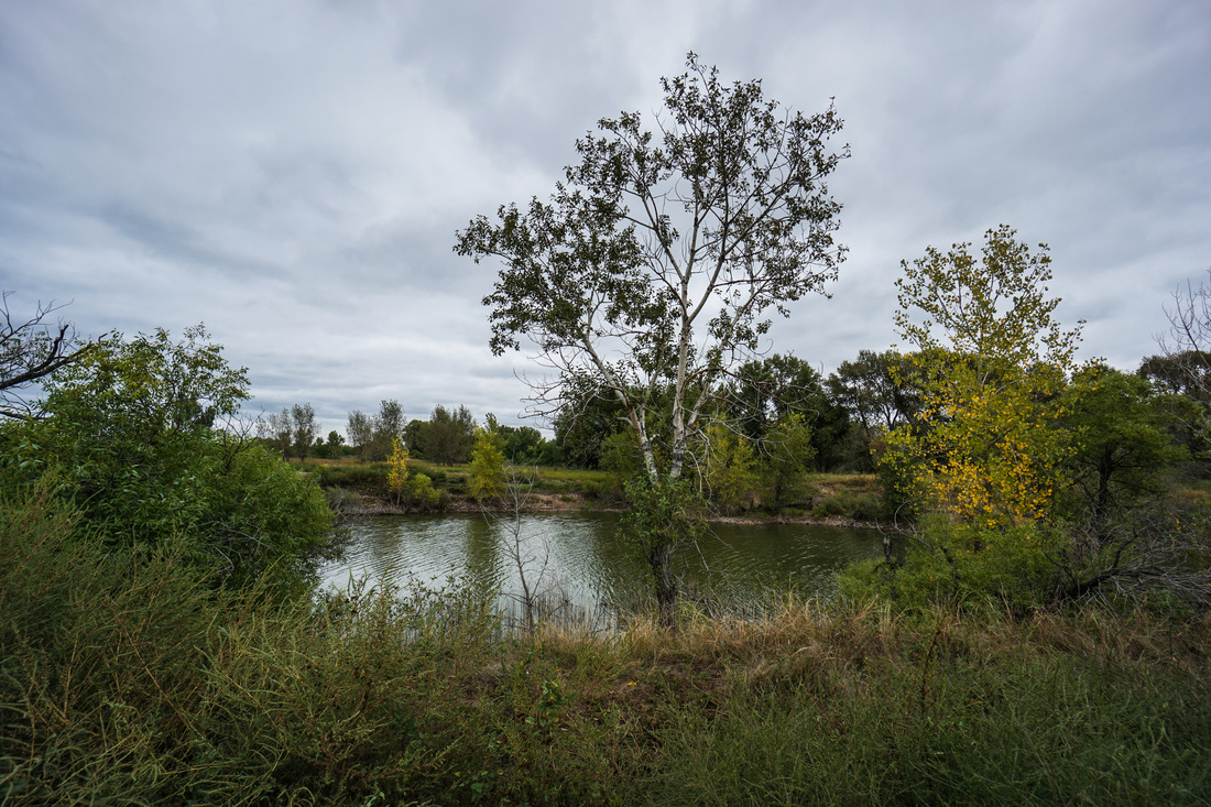
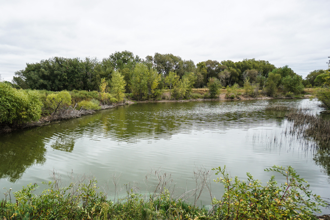
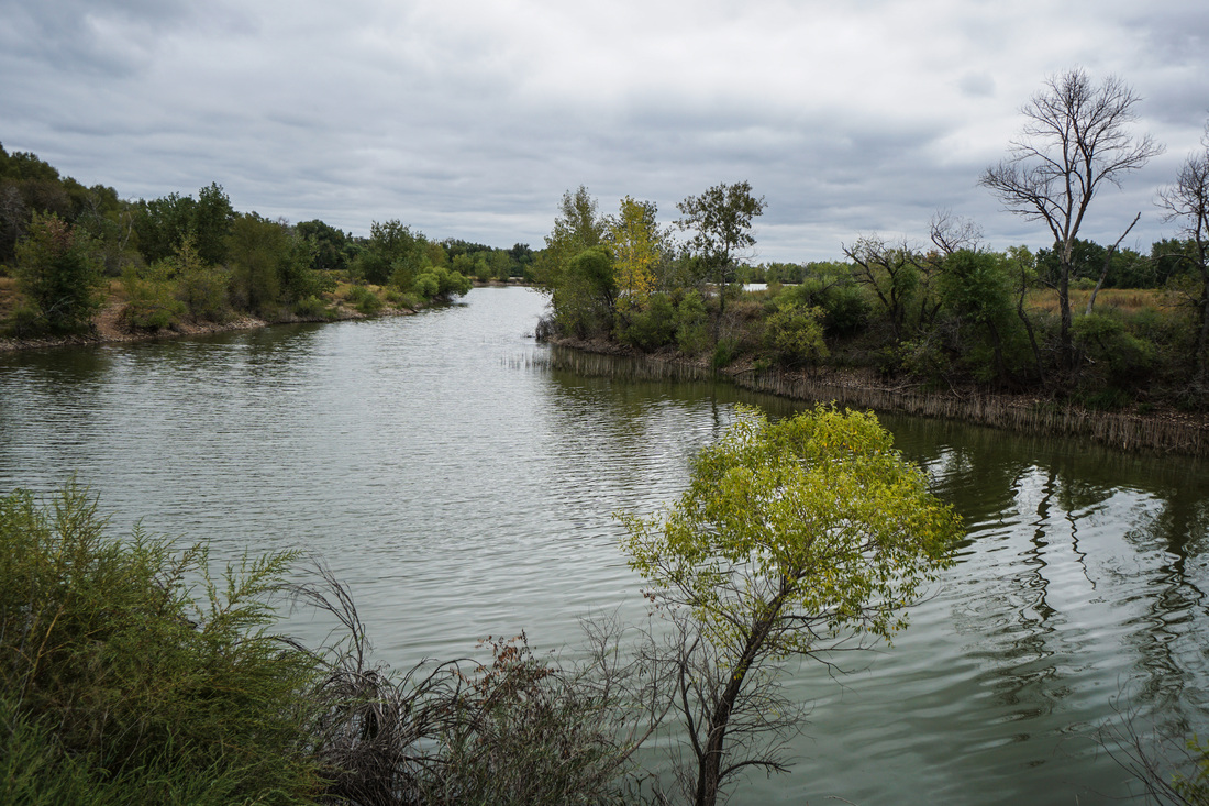
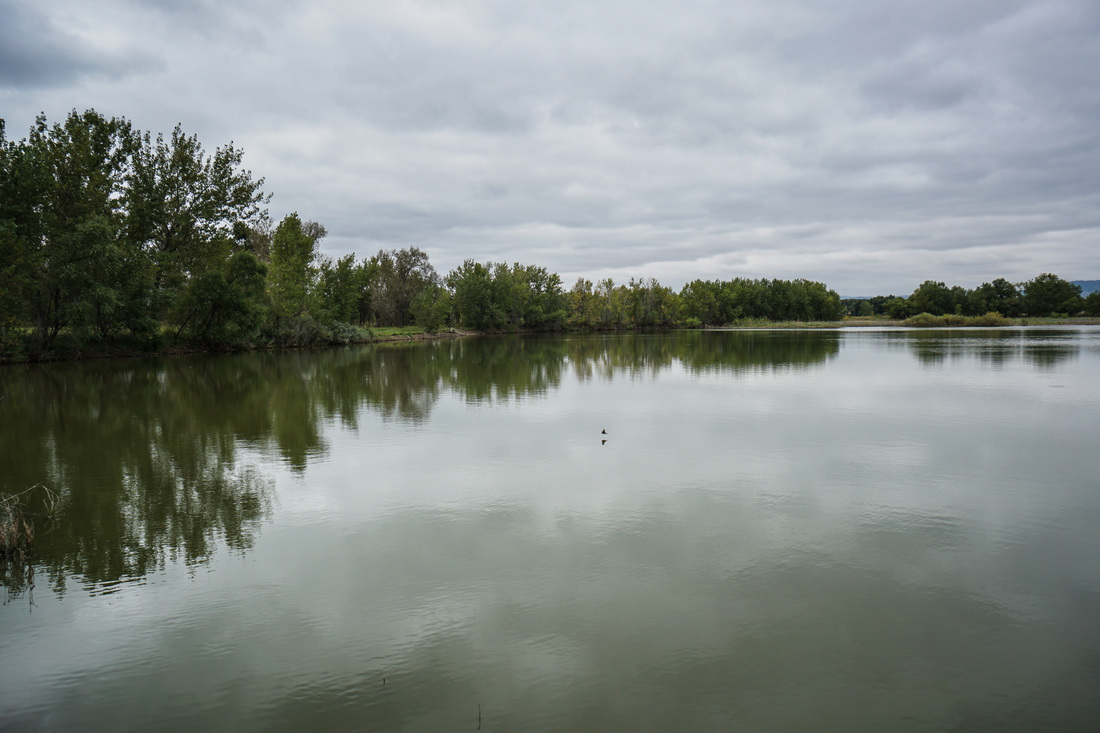
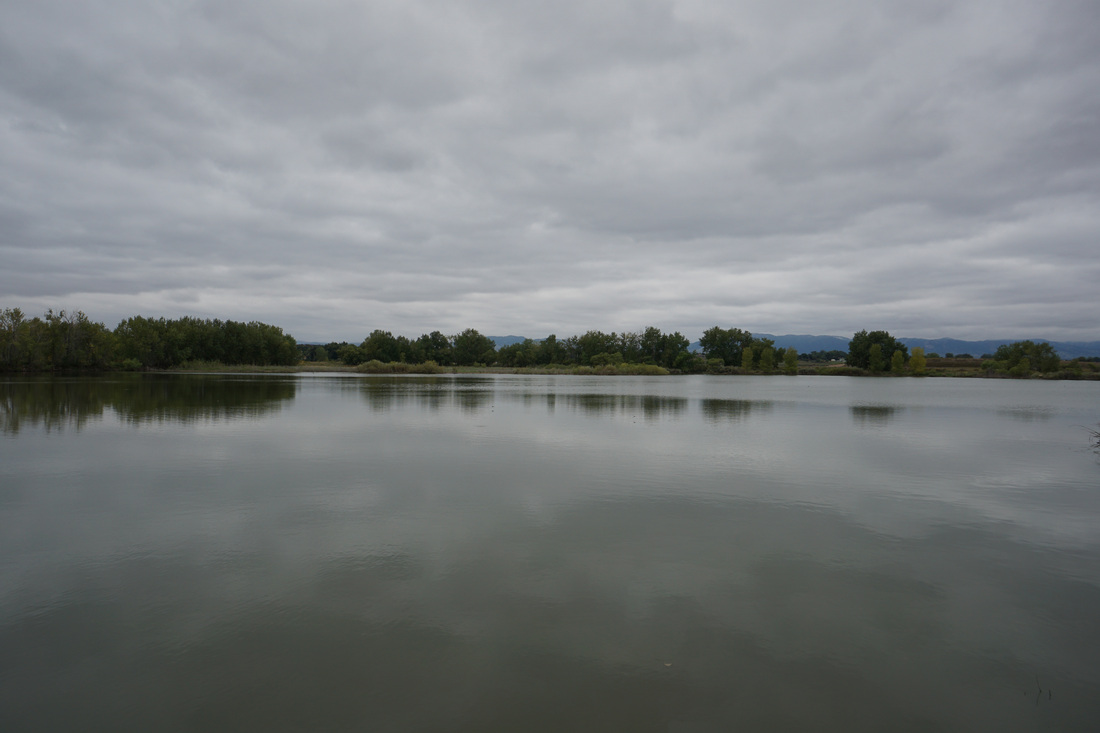
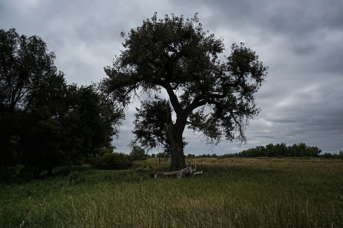
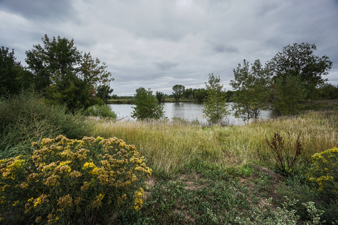
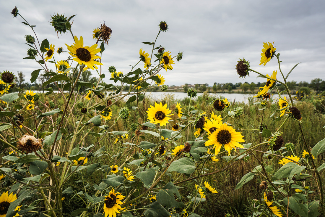
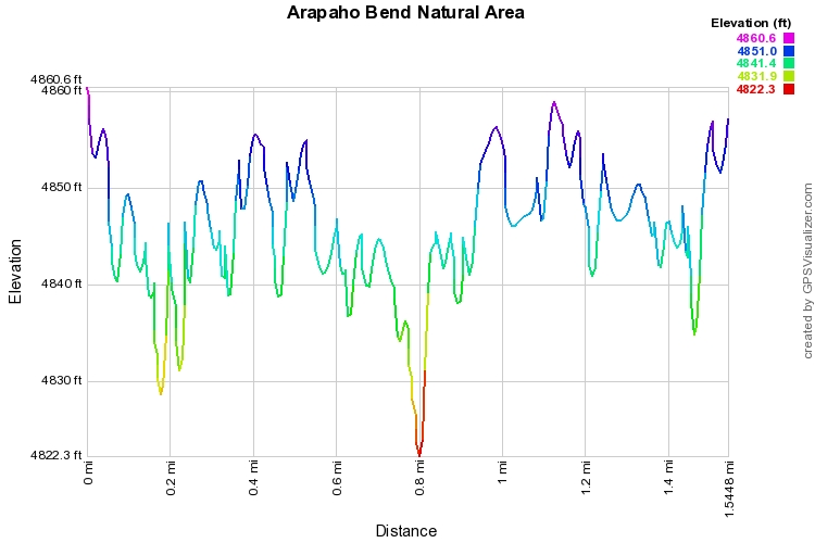
Arapaho Bend is a nice natural open space area in south Fort Collins.  The area consists of a series of ponds with trails winding around them.  This is a terrific spot for bird watching.  The only downside is the traffic noise from I-70 which is noticeable.  Still, Arapaho Bend offers a pleasant walk with good views of the Front Range foothills west of Fort Collins, including Horsetooth Mountain.

For this hike, start at the Strauss Cabin Road trailhead and make a left, heading north.  This trail will take you along Big Bass Pond and Little Bass Pond.  Once you reach the North trailhead along Horsetooth Road, the trail turns south and winds along the opposite shorelines.  Continue onward as the trail circles Cormorant and Snapper Ponds.  When you reach an intersection near a power station, turn right and head back to the parking lot.  There is an option to explore another .5 miles or so of trail, but you can't circumnavigate the largest of the Ponds, the trails simply explore the eastern shore.

Powered by Create your own unique website with customizable templates.