|
Directions: From I-25, exit at Harmony Road and head west all the way to the foothills. After Taft Hill Road, Harmony Road becomes County Road 38 E, continue straight and head up to Horsetooth Reservoir. At the Reservoir, turn right (north) onto Centennial Drive/CO Rd 23. Follow this road north, following Horsetooth Reservoir and turn right at the intersection about half way. Continue north to the end of the Reservoir and Turn left at the sign for Lory State Park onto Co Rd 25G. Co Rd 25 G turns to the south and soon arrives at Lory State Park.
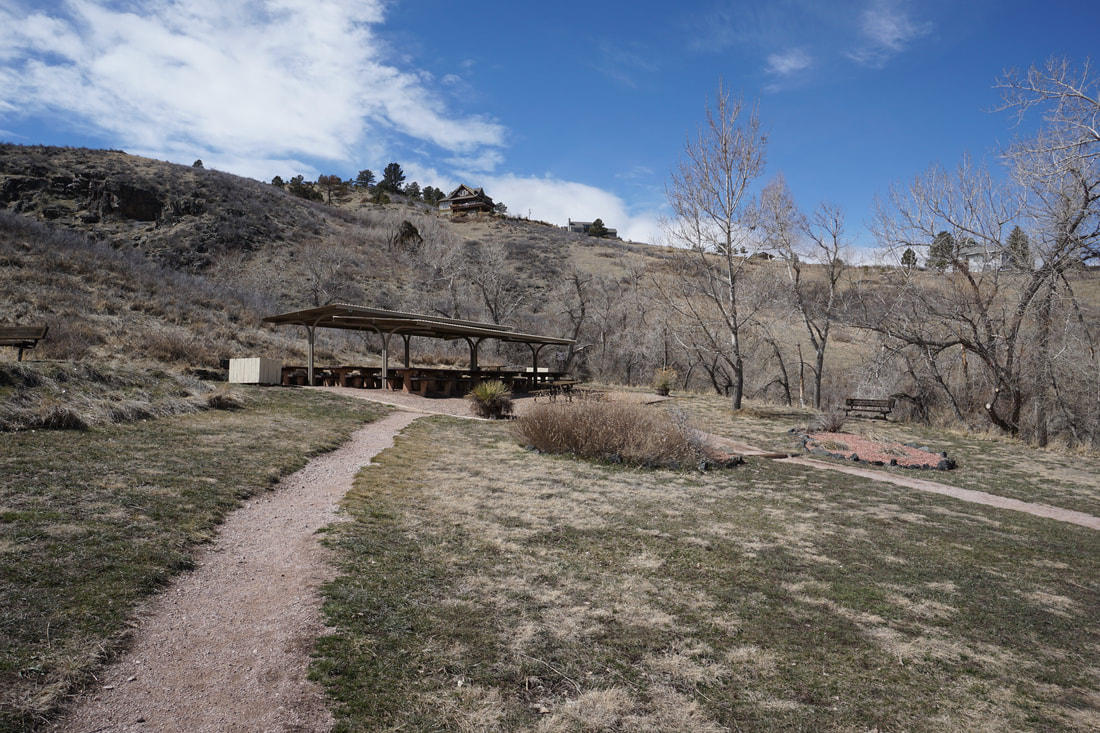
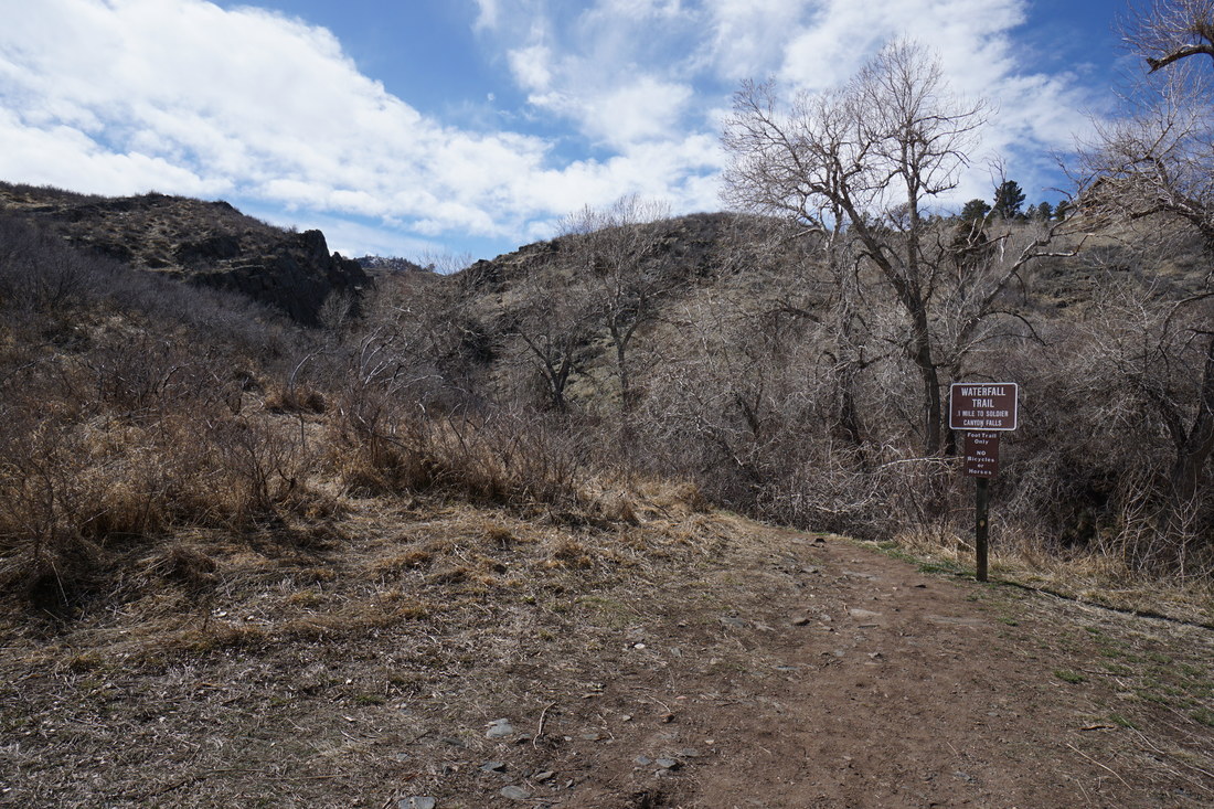
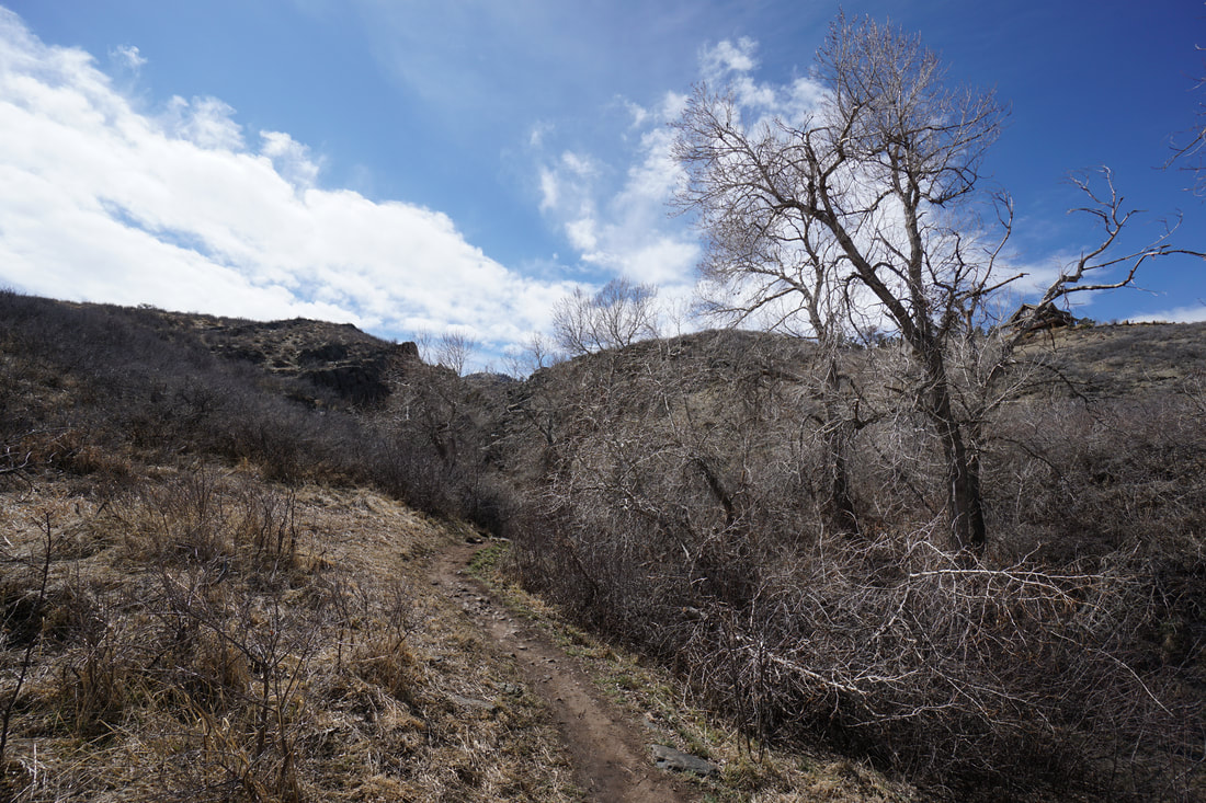
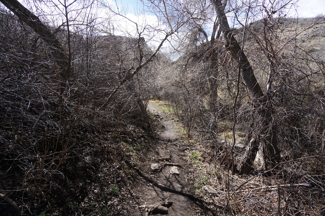
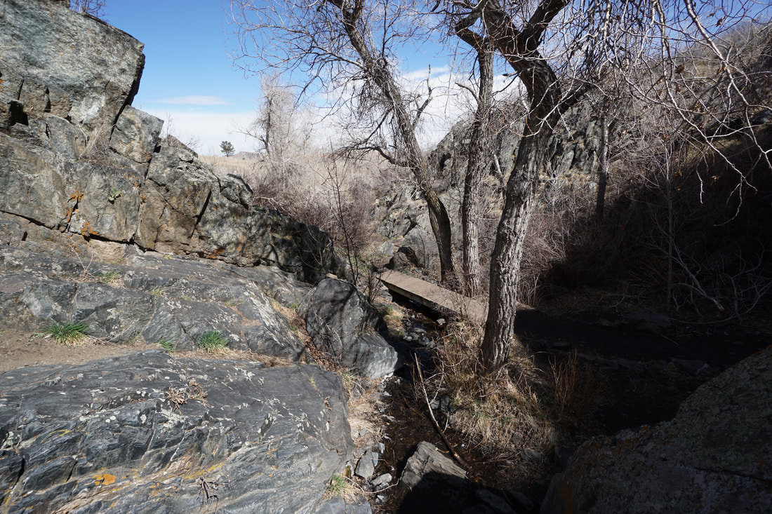
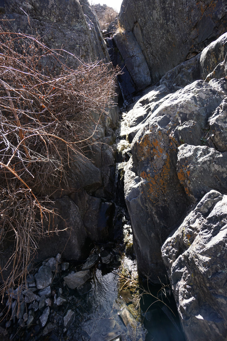
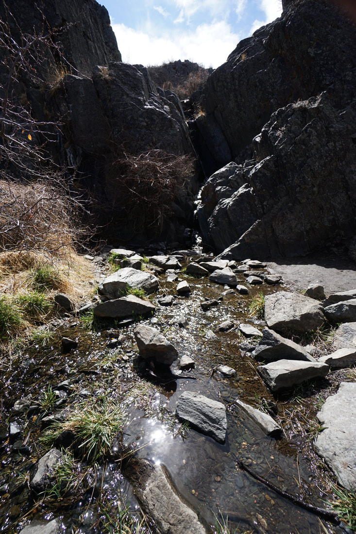
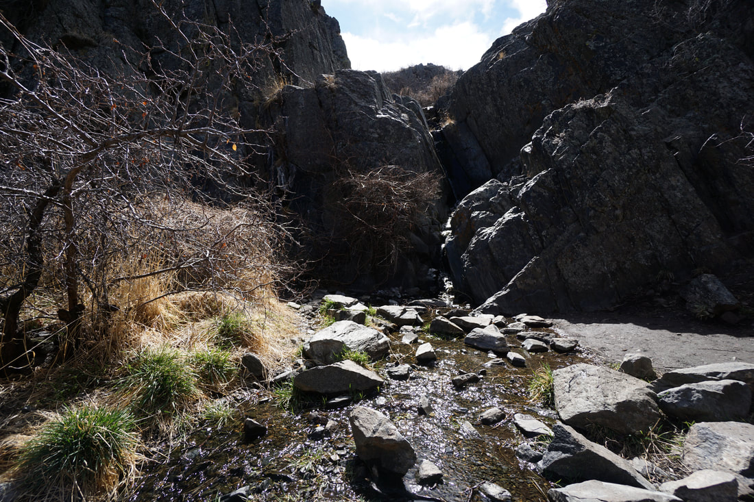
Enter Lory State Park and drive past the VC on the main road. Turn right at the Timber Group Picnic Area and park. The trailhead is just past the amphitheater. The Waterfall is short but a cool hike nonetheless. The trail runs through a stand of cottonwood trees to a narrow canyon with a cascade and waterfall. There are two footbridges and stone steps carved into the cliffs to take you to the end of the trail and the waterfall. The trail is short (only 1 1/10 th of a mile each way) but it is great for kids or a short diversion from the picnic grounds. If you're visiting the park anyway, the Waterfall Trail is definitely worth the detour. |
|
- HOME
- ABOUT
-
HIKES BY REGION
-
NATIONAL PARK HIKES
- BENT'S OLD FORT NATIONAL HISTORIC SITE
- BLACK CANYON OF THE GUNNISON NATIONAL PARK
- COLORADO NATIONAL MONUMENT
- CURECANTI NATIONAL RECREATION AREA
- DINOSAUR NATIONAL MONUMENT
- FLORISSANT FOSSIL BEDS NATIONAL MONUMENT
- MESA VERDE NATIONAL PARK
- ROCKY MOUNTAIN NATIONAL PARK
- GREAT SAND DUNES NATIONAL PARK
- HOVENWEEP NATIONAL MONUMENT
- SAND CREEK MASSACRE NATIONAL HISTORIC SITE
- YUCCA HOUSE NATIONAL MONUMENT
- HIKES BY CATEGORY
- NEWS
- WEBCAMS
- $UPPORT GHC
- INTERACTIVE MAP
Waterfall Trail
Lory State Park
Date Hiked: March 21, 2018
Distance: .2 mi (RT)
Elevation Gain: Minimal
Elevation Min/Max: 5,502 to 5,553 ft
Trailhead Lat/Long:40º 35' 18" N; 105º 11' 04" W
Managing Agency: CO Division of Parks & Wildlife
Fee: Yes