|
|
|
Directions: From I-25, exit at Harmony Road and head west all the way to the foothills. After Taft Hill Road, Harmony Road becomes County Road 38 E, continue straight and head up to Horsetooth Reservoir. At the Reservoir, turn right (north) onto Centennial Drive/CO Rd 23. Follow this road north, following Horsetooth Reservoir and turn right at the intersection about half way. Continue north to the end of the Reservoir and Turn left at the sign for Lory State Park onto Co Rd 25G. Co Rd 25 G turns to the south and soon arrives at Lory State Park.
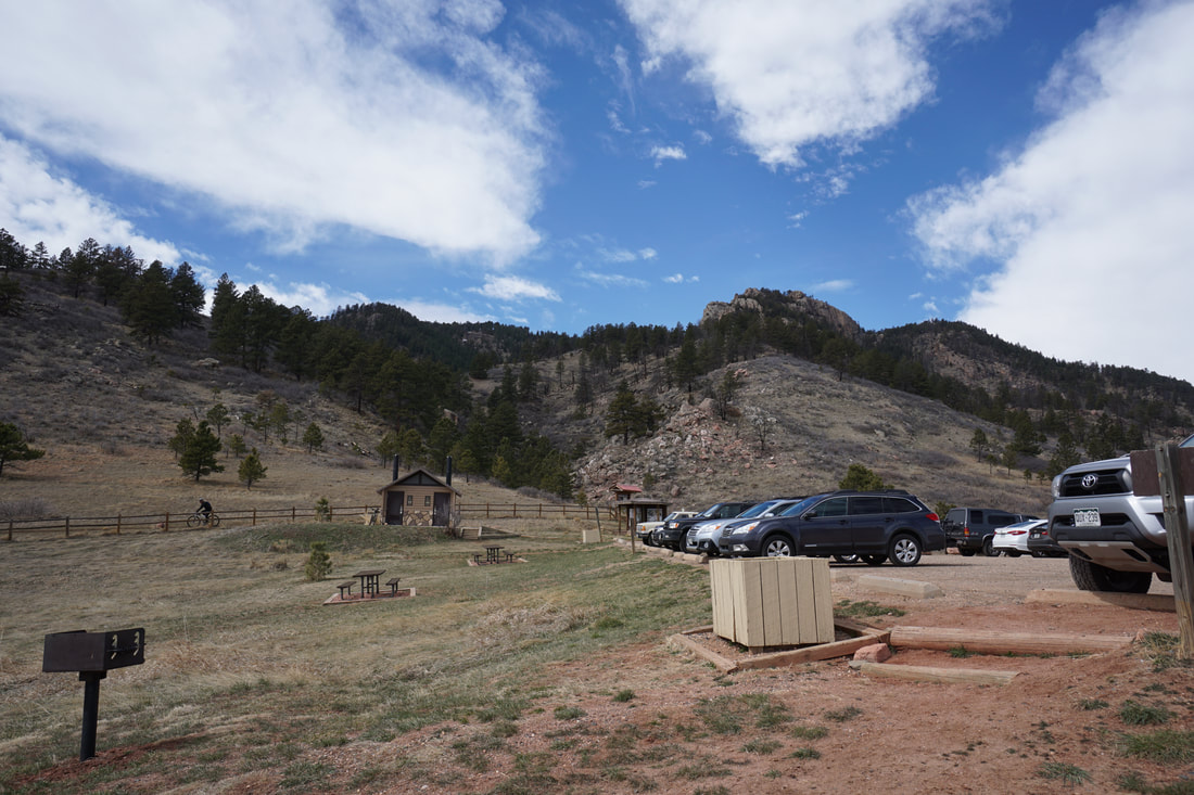
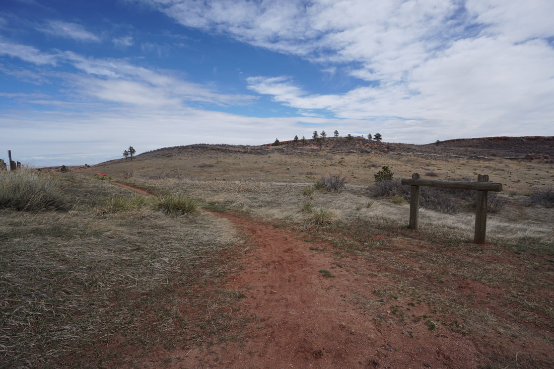
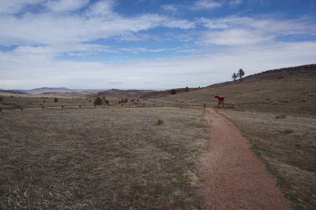
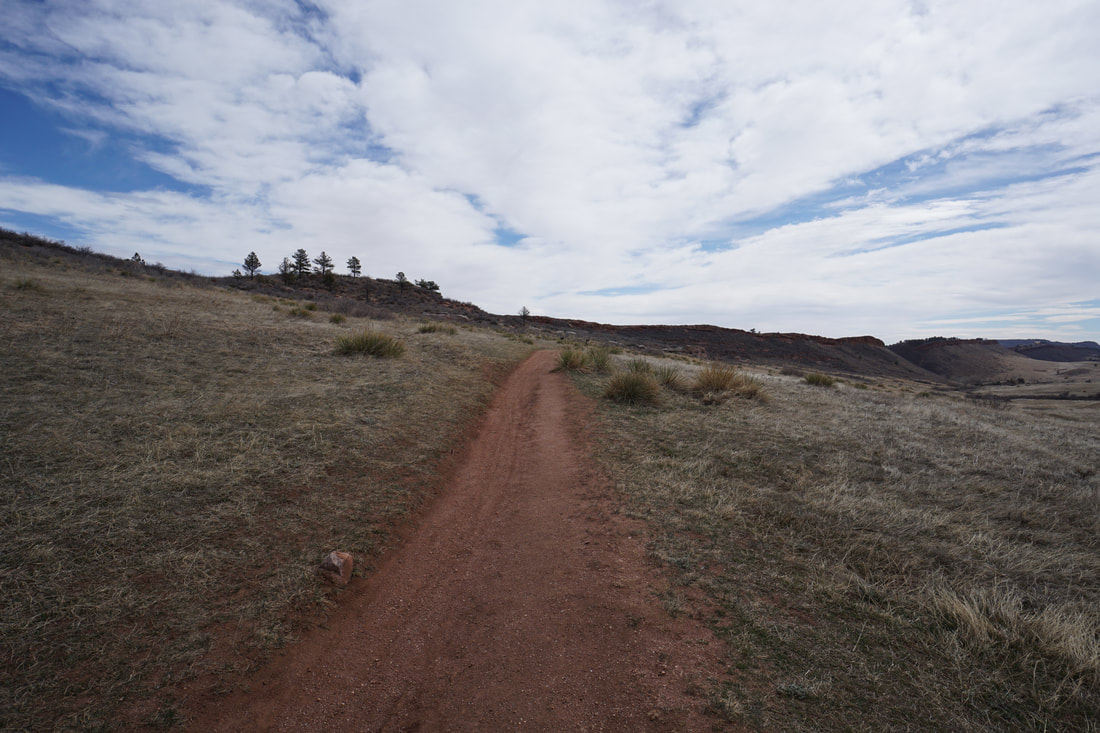
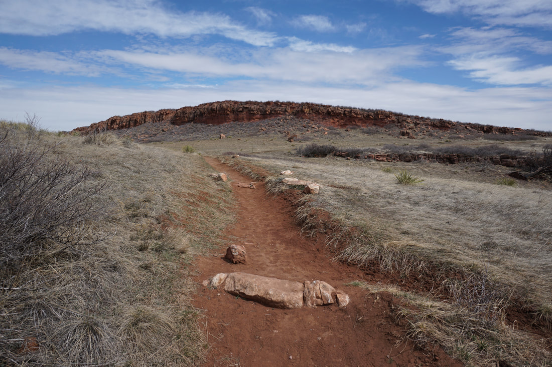
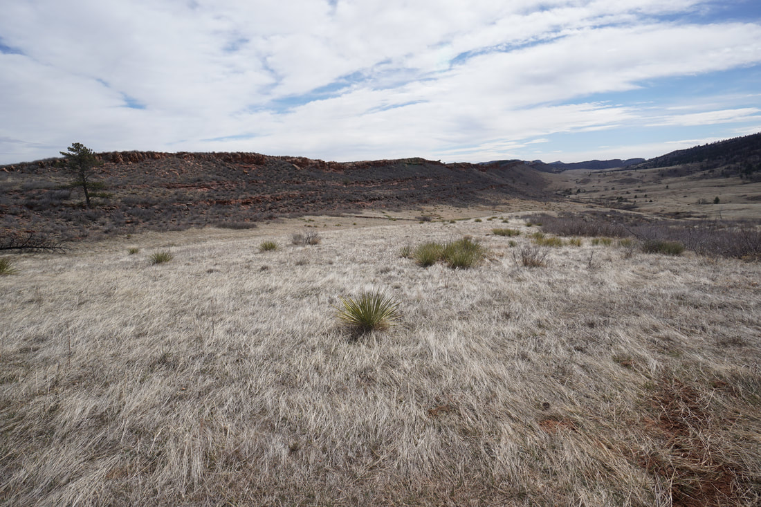
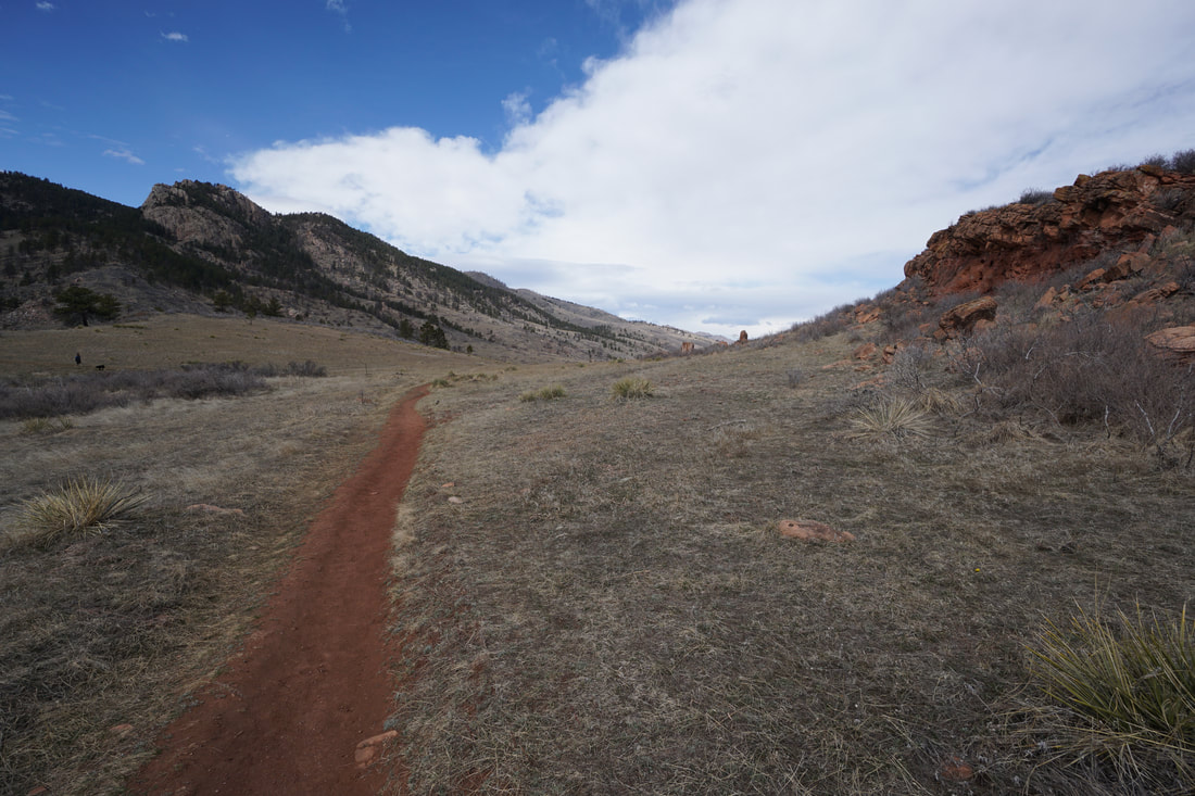
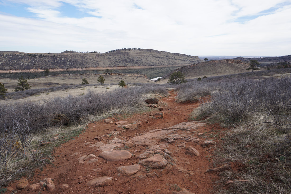
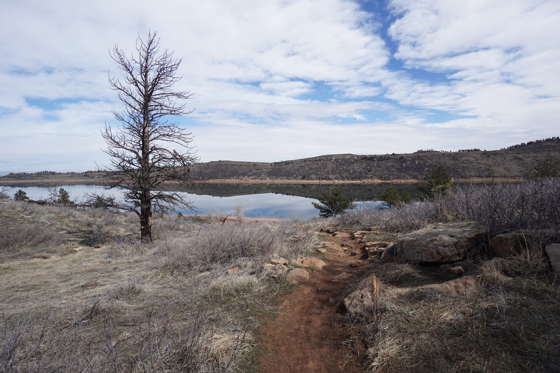
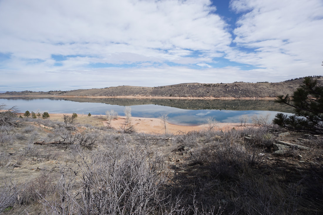
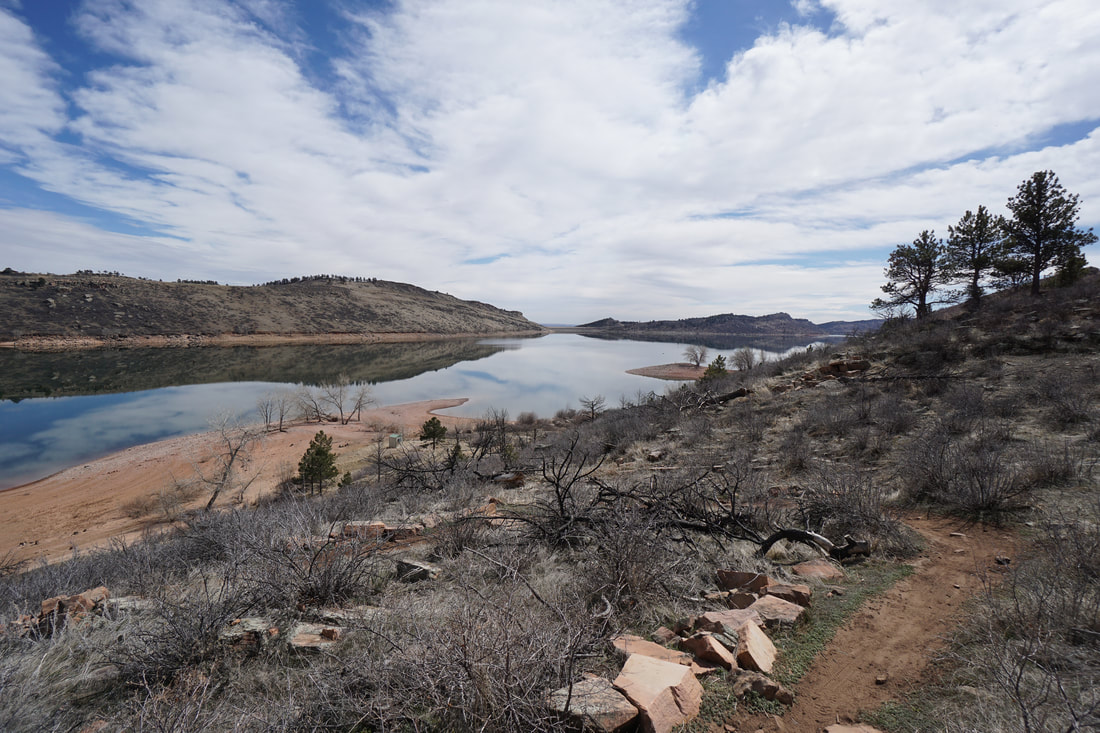
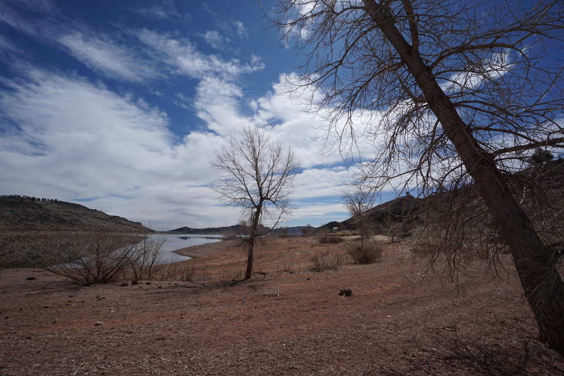
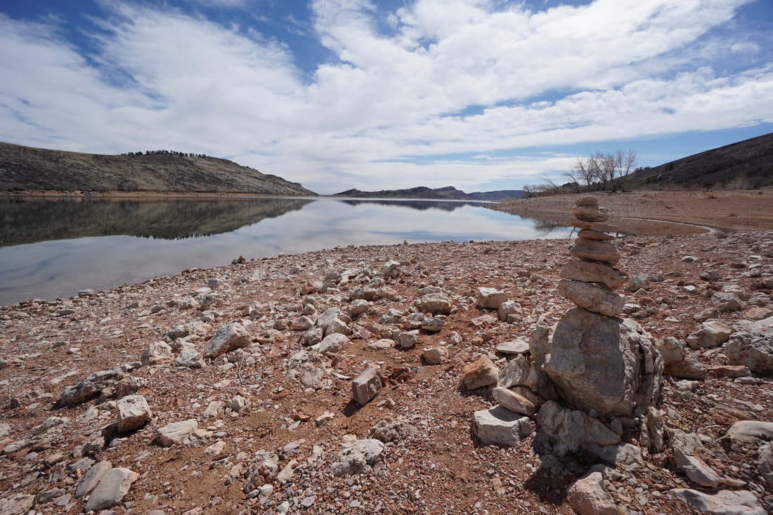
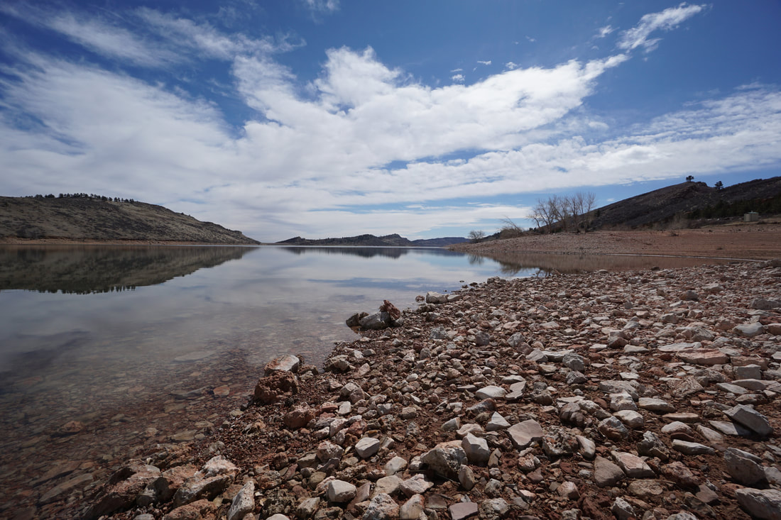
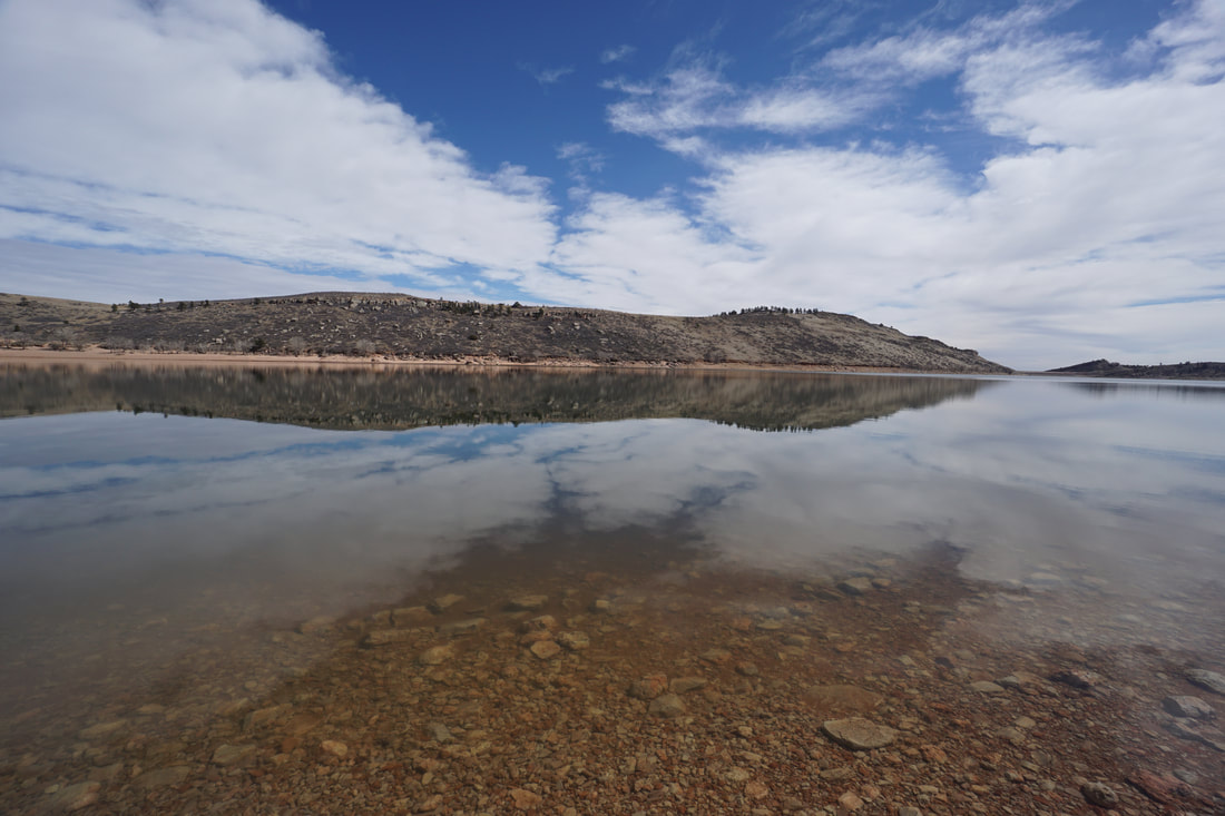
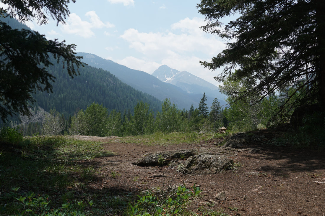
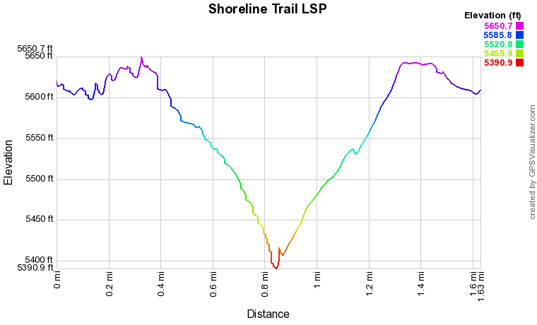
Enter Lory State Park and follow the main road (good dirt road) all the way to the end of the road and the TH for Arthur's Rock and the Shoreline Trail. The Shoreline Trail leaves from the easternmost end of the parking lot. The Shoreline Trail is a wonderful hike up to the top of the hogback ridge and down to the shore of Horsetooth Reservoir. Along the way you are treated to wonderful views of not just the reservoir, but also Arthur's Rock and the southern valley. The trail is easy to follow as it climbs gently up to the ridge. On the other side of the ridge, it switchbacks down about 300 feet to the shoreline. Depending on the water level of Horsetooth Reservoir, you can explore the rocky shoreline as much as you want. For your return, there are two stone cairns along the shore to remind you where the trail meets up with the shoreline. The views north and south of the reservoir are wonderful and if you arrive on a day when the park is not busy, this can be a peaceful and serene spot...or not... There are various ways to access the shoreline of Horsetooth Reservoir in Lory State Park, by the Shoreline Trail might just be the most scenic. |
|