|
DIRECTIONS: From Fort Collins, take Harmony Road west past College Ave where it becomes County Road 38. Follow County Road 38 west as it climbs up the foothills until you reach a dam or Horsetooth Reservoir. Turn right (north) on Centennial Drive/County Road 23. Head north following the ridge to the northern end of the Reservoir. Pass the northern dam and the trailhead will be on the right.
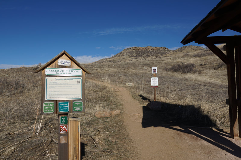
Reservoir Ridge Natural Area is a popular local hiking spot just north of Horsetooth Reservoir. For this description, the hike starts at the western Reservoir Ridge Trailhead off CO rd 23. However, there are two eastern trailheads and each adds additional mileage and elevation gain to your hike.
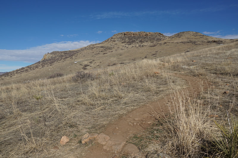
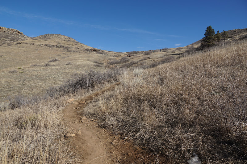
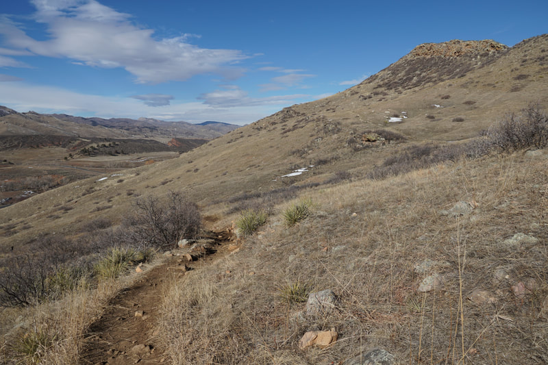
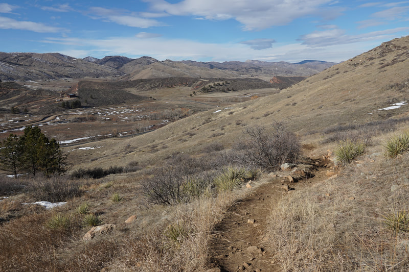
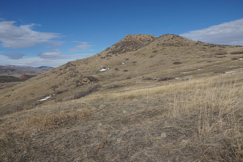
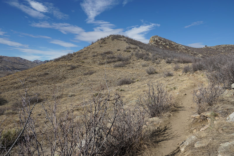
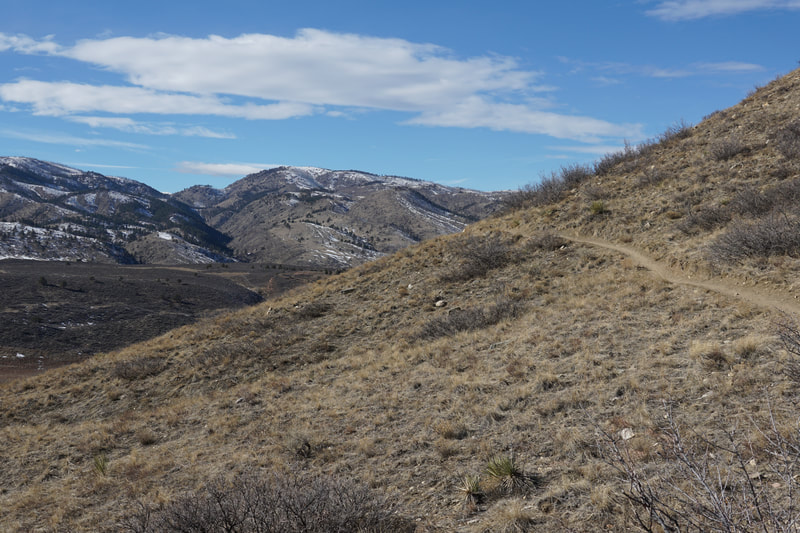
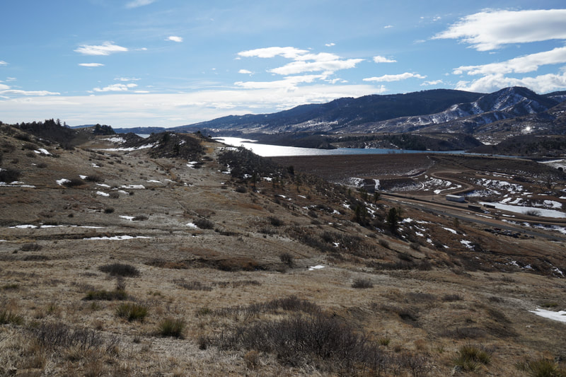
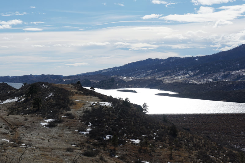
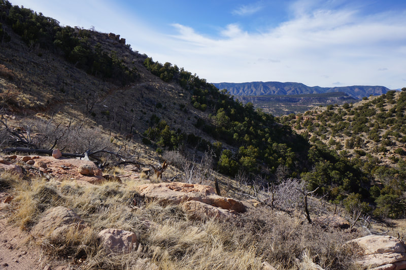
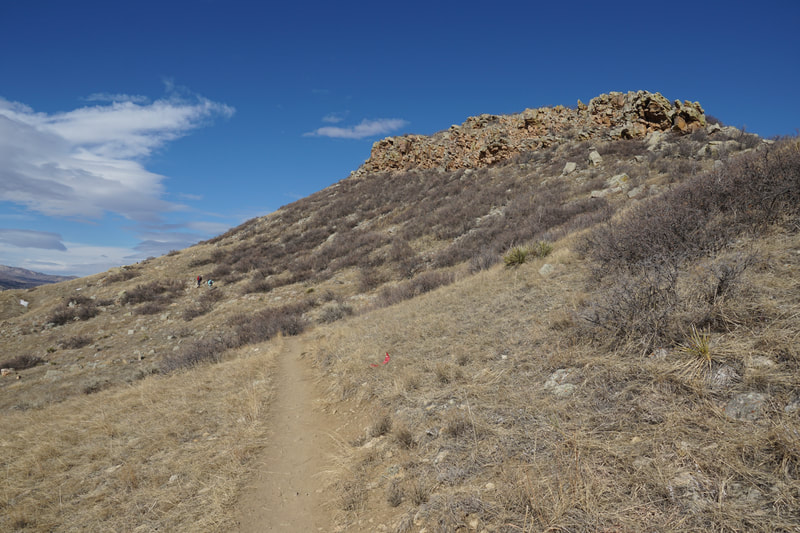
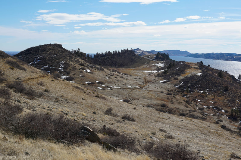
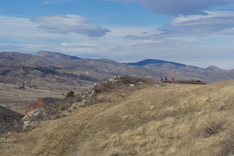
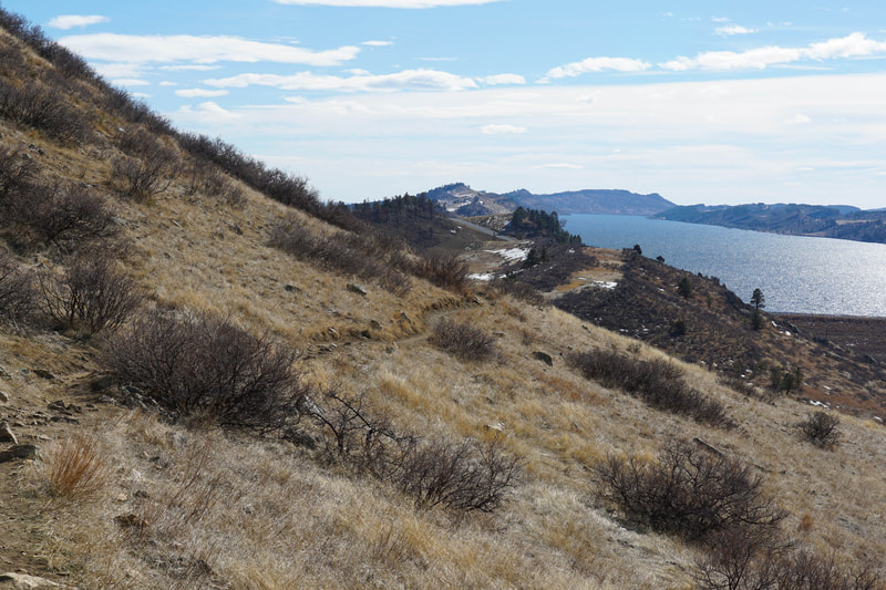
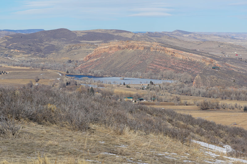
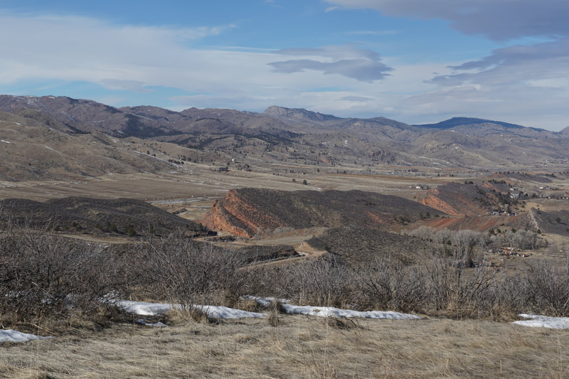
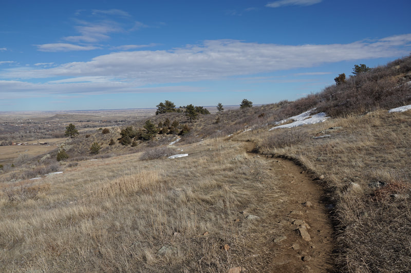
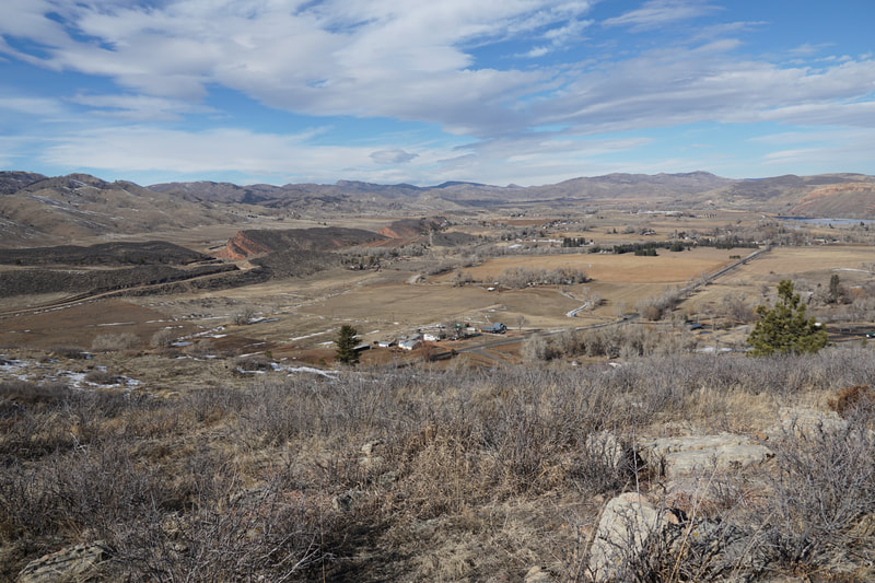
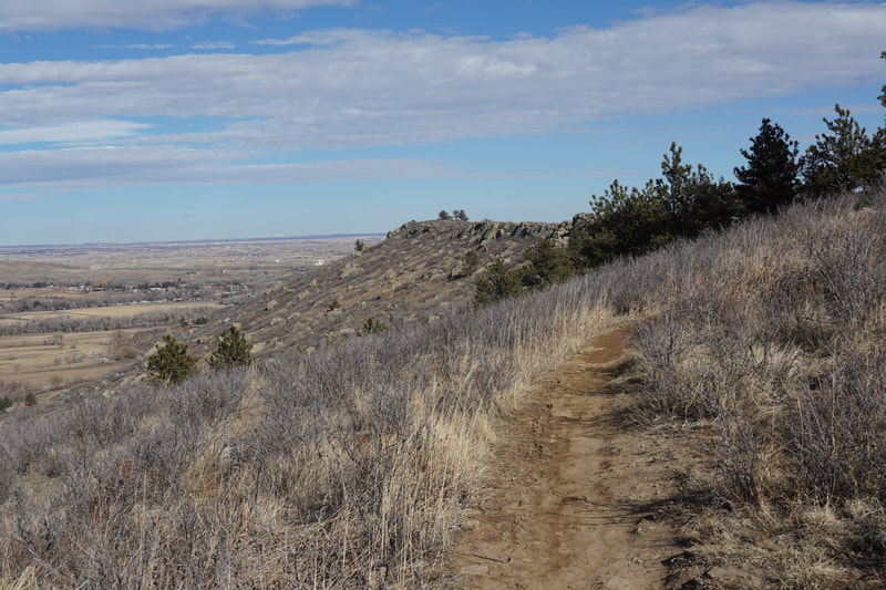
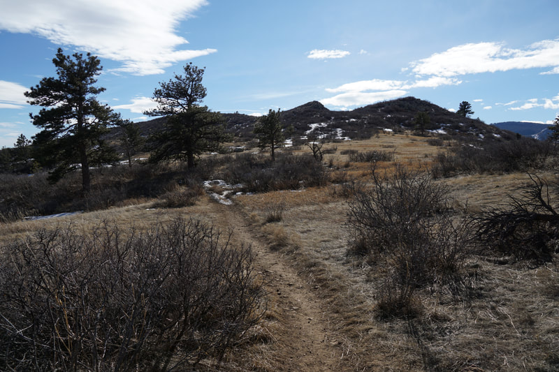
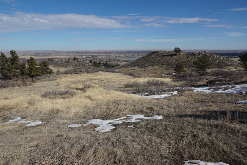
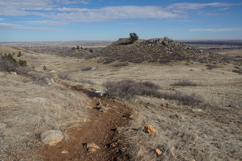
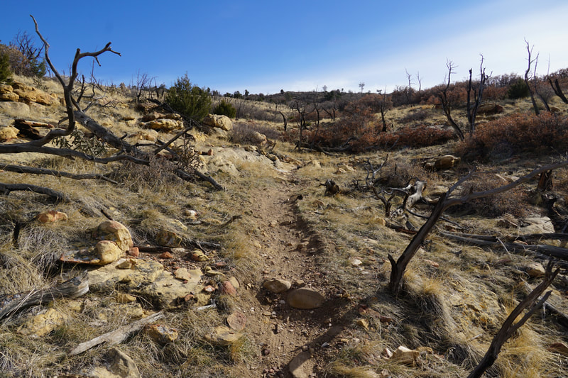
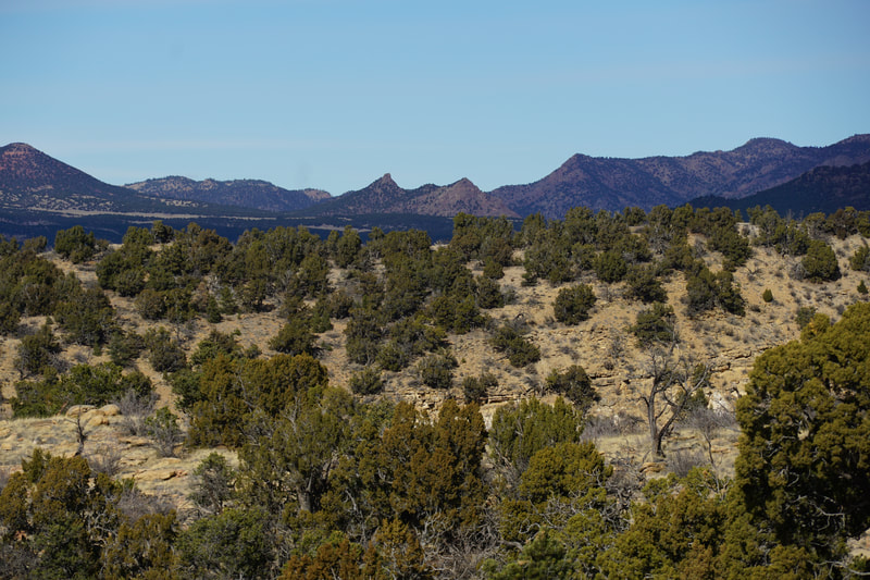
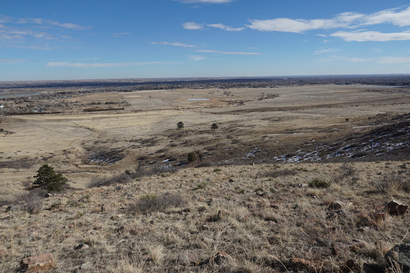
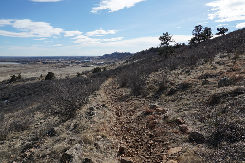
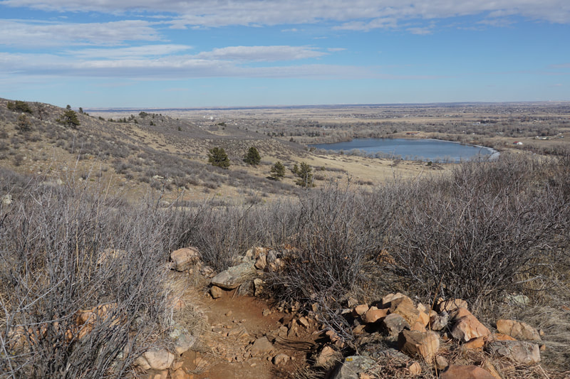
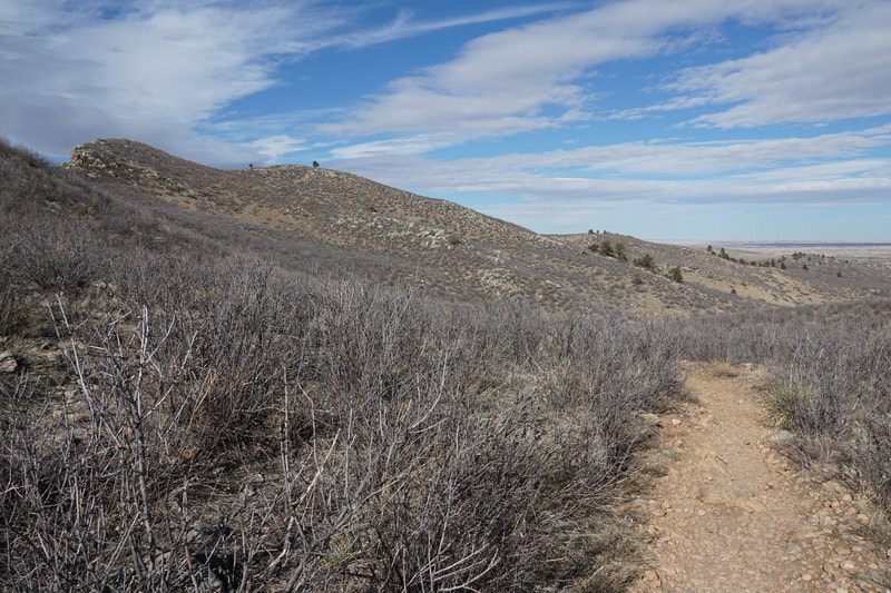
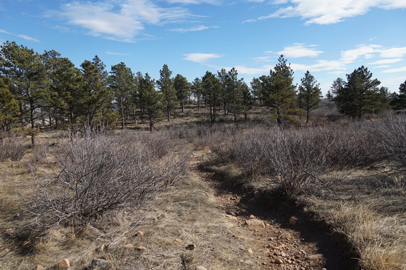
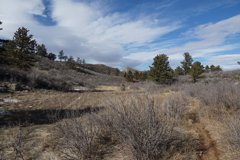
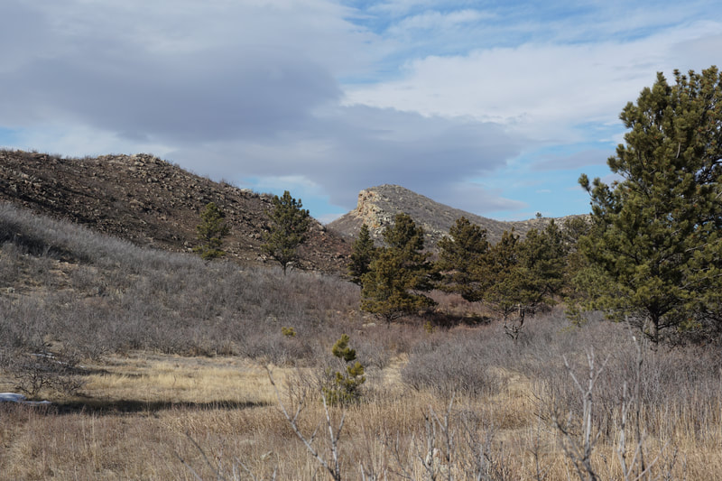
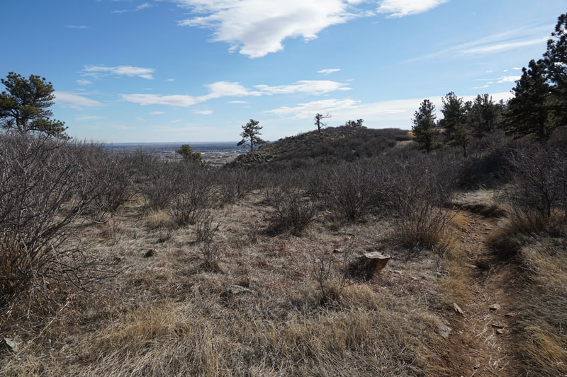
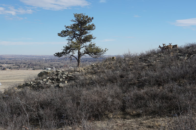
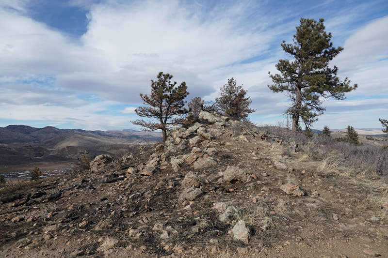
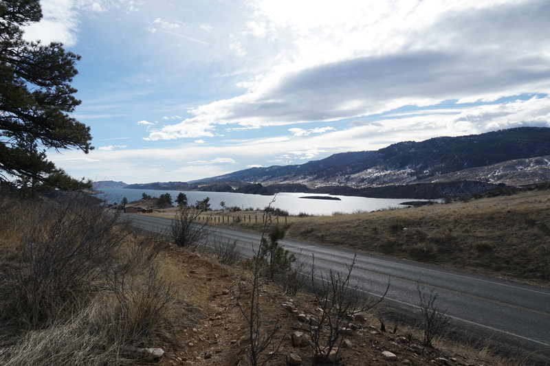
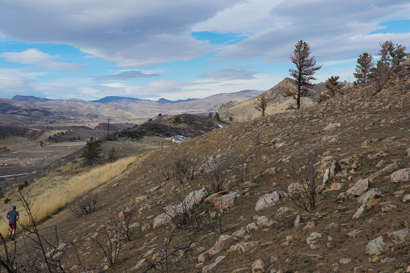
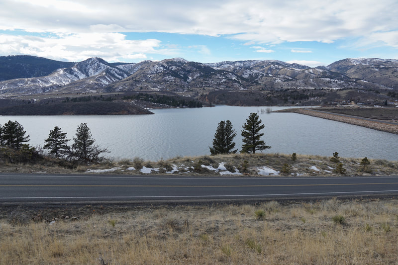
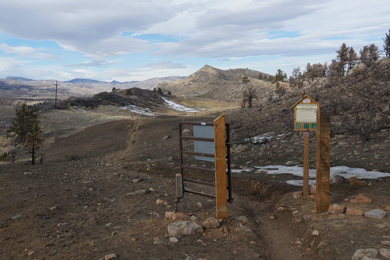
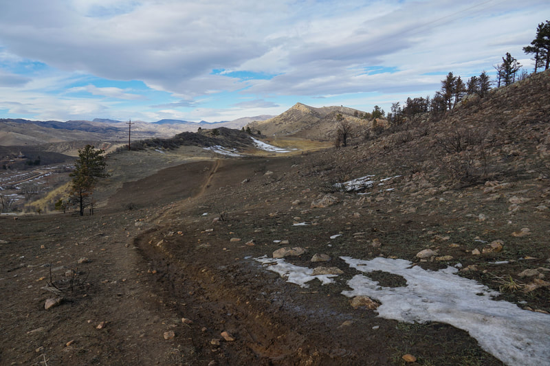
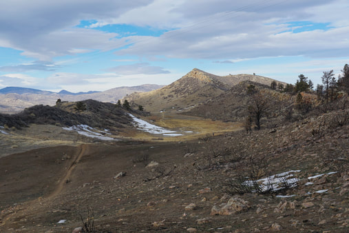
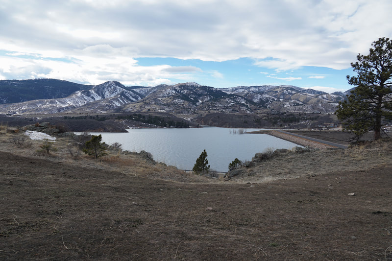
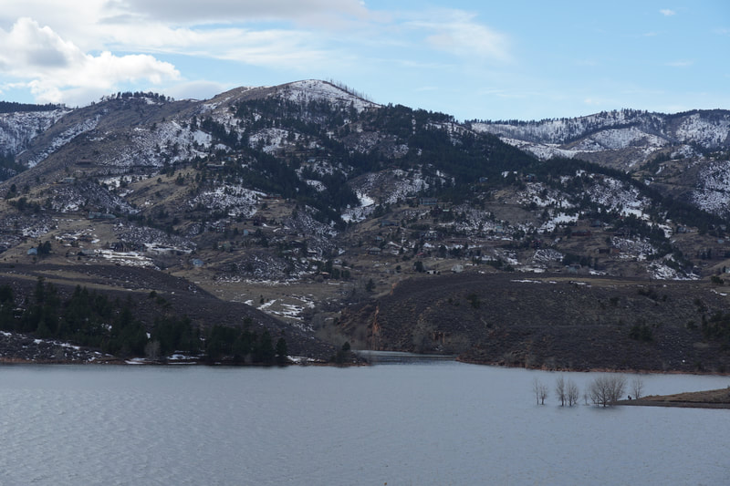
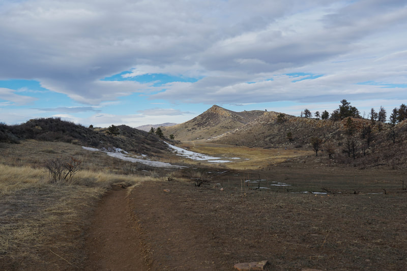
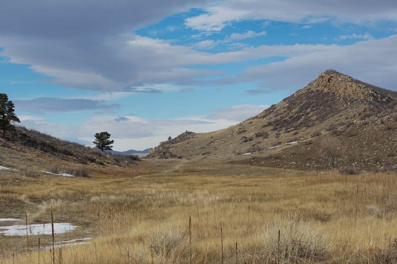
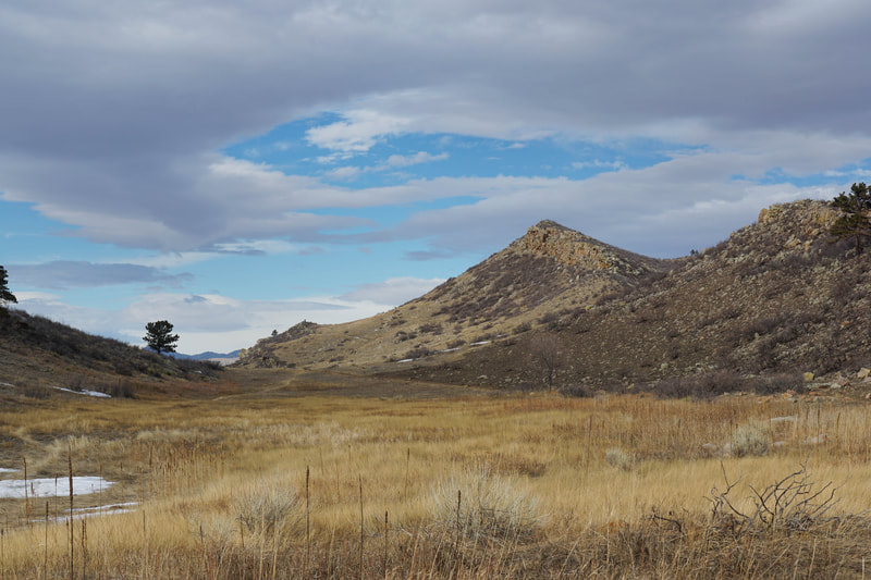
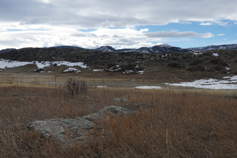
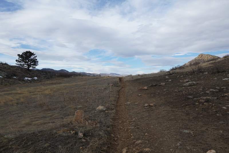
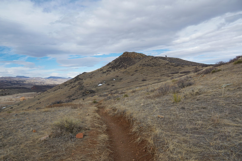
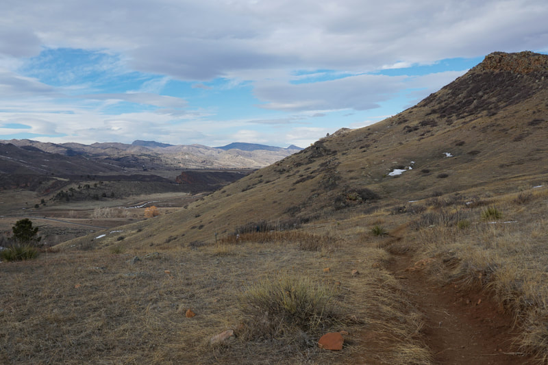
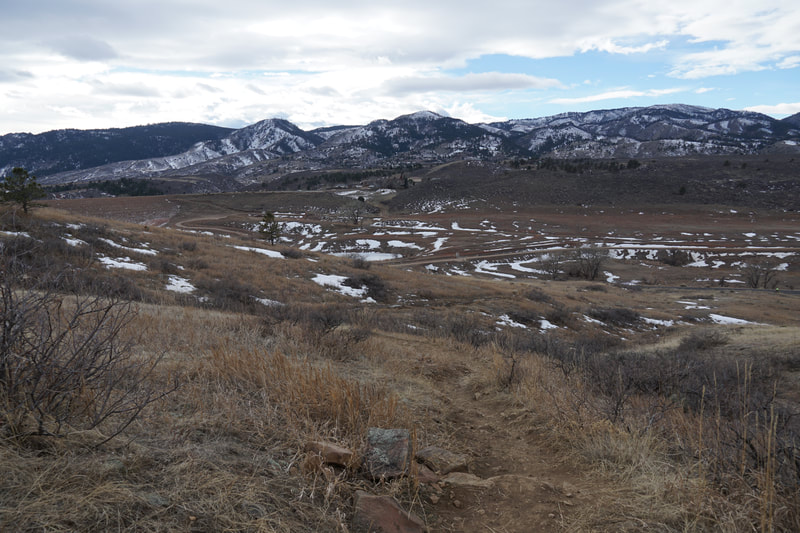
From the trailhead, the hike climbs up the hillside towards a saddle. As you hike the views south towards Horsetooth Reservoir get better and better. The first trail junction you reach is for the North Loop Trail heading south. I recommend continuing uphill rather than turning here, you'll return this way. Continue straight and about 300 feet later you'll reach the saddle...turn left (north) for the North Loop Trail. The trail heads up towards the towering cliffs but unfortunately never reaches the summit of the ridge. Instead the trail cuts across the hillside below the ridge and leads to a nice viewpoint. The view looks north towards Poudre Canyon and Greyrock Mountain. Continue along the trail as it weaves to the north, then descends around to the eastern side of the ridge. The trail descends for 3/4th of a mile, passing the turnoff for the eastern trailheads, then ascends again to a connector trail taking you back to the original saddle. Continue hiking to the south instead of taking the connector trail along the Foothills Trail. This part of the foothills trail is exceptionally pleasant. You'll pass through a burn area, then an area of sparse pines that sits in sort of a basin between the summit ridge and a second rocky ridge. Continue south to another junction with the North Loop Trail. As this point head back north following the North Loop Trail. The trail gets some more views of Horsetooth Reservoir as it parallels CO 23 for a few minutes. As you "re-enter" the natural area, the trail descends to a meadow flanked by rocky outcroppings. The view straight ahead of the rocky ridge looks like a mountain rising in the distance. Before long you'll reconnect with the trail leading back to the trailhead. All-in-all, Reservoir Ridge is a very nice park to hike through. The terrain is interesting, the views are exceptional, and there are plenty of options for long or short hikes. Hiking the North Loop Trail and the Foothills Trails provides a good overview of the area and makes for a nice half day excursion. |
- HOME
- ABOUT
-
HIKES BY REGION
-
NATIONAL PARK HIKES
- BENT'S OLD FORT NATIONAL HISTORIC SITE
- BLACK CANYON OF THE GUNNISON NATIONAL PARK
- COLORADO NATIONAL MONUMENT
- CURECANTI NATIONAL RECREATION AREA
- DINOSAUR NATIONAL MONUMENT
- FLORISSANT FOSSIL BEDS NATIONAL MONUMENT
- MESA VERDE NATIONAL PARK
- ROCKY MOUNTAIN NATIONAL PARK
- GREAT SAND DUNES NATIONAL PARK
- HOVENWEEP NATIONAL MONUMENT
- SAND CREEK MASSACRE NATIONAL HISTORIC SITE
- YUCCA HOUSE NATIONAL MONUMENT
- HIKES BY CATEGORY
- NEWS
- WEBCAMS
- $UPPORT GHC
- INTERACTIVE MAP
Foothills Trail & North Loop
Reservoir Ridge Natural Area
Date Hiked: January 26, 2020
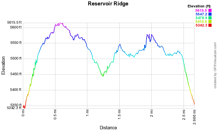
Distance:2.6 mi (RT)
Elevation Gain: 440 ft
Elevation Min/Max: 5,342 to 5,616 ft
Trailhead Lat/Long: 40º 36' 12" N; 105º 10' 15" W
Managing Agency: City of Fort Collins Natural Areas
Fee: None

