|
Directions: From I-25, take exit 257 heading West. Continue onto Hwy 34 for 3 miles to Madison Ave. Turn North on Madison Ave and make a right on E. 37th. Follow signs to the Park entrance.
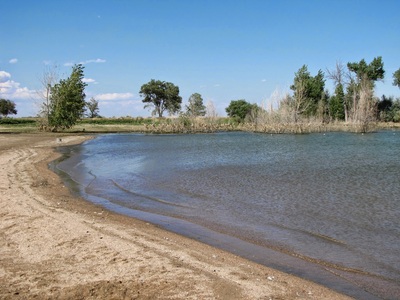
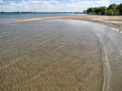
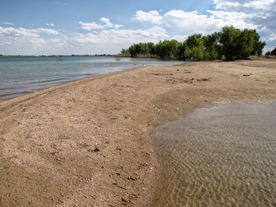
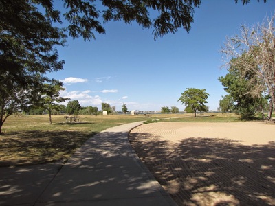
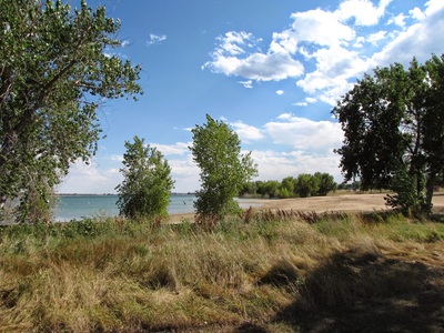
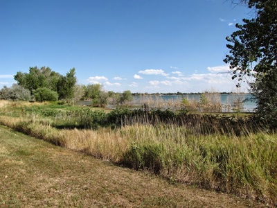
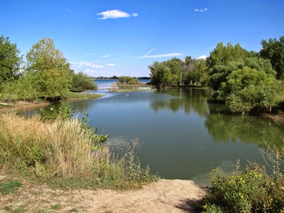
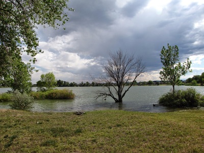
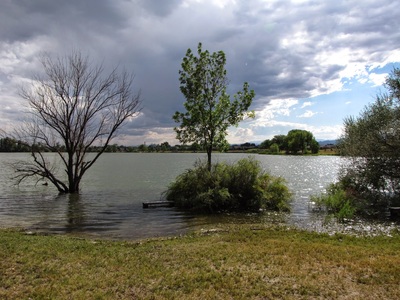
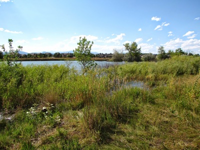
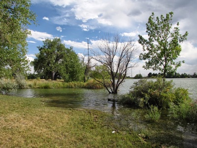
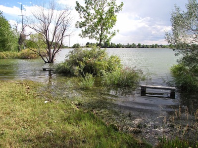
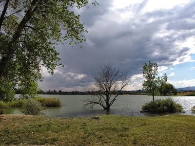
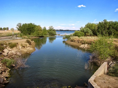
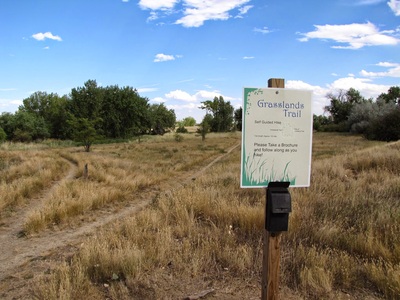
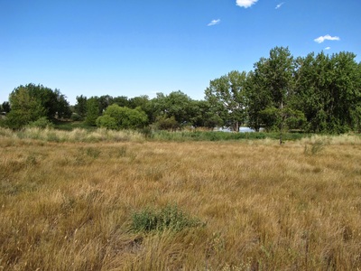
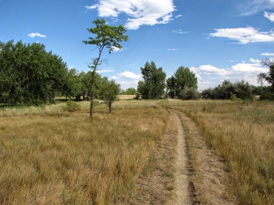
Boyd Lake State Park is certainly not a hiking park. There is a 5 mile paved trail running the length of the western side of the park and connecting to the Loveland City trail system, but this is really better for biking or running. That being said, the lake is scenic and warm for swimming in the summer, and there is a short nature trail called the Grassland Loop. This .4 mile loop trail explores a small portion of the lake side and the meadow bounding it. There is also an unofficial trail just north of the swim beach that follows the shoreline for a little while before abruptly ending. A swim in the lake and a walk along the trails makes for a very nice summer afternoon. |
- HOME
- ABOUT
-
HIKES BY REGION
-
NATIONAL PARK HIKES
- BENT'S OLD FORT NATIONAL HISTORIC SITE
- BLACK CANYON OF THE GUNNISON NATIONAL PARK
- COLORADO NATIONAL MONUMENT
- CURECANTI NATIONAL RECREATION AREA
- DINOSAUR NATIONAL MONUMENT
- FLORISSANT FOSSIL BEDS NATIONAL MONUMENT
- MESA VERDE NATIONAL PARK
- ROCKY MOUNTAIN NATIONAL PARK
- GREAT SAND DUNES NATIONAL PARK
- HOVENWEEP NATIONAL MONUMENT
- SAND CREEK MASSACRE NATIONAL HISTORIC SITE
- YUCCA HOUSE NATIONAL MONUMENT
- HIKES BY CATEGORY
- NEWS
- WEBCAMS
- $UPPORT GHC
- INTERACTIVE MAP
Grassland Loop Trail
Boyd Lake State Park
Distance: .4 mi (RT) - With various other paved trails in the park
Elevation Gain: Negligible
Managing Agency: CO Parks & Wildlife
Fee: Yes

