|
Directions (from the Fort Collins Website): From Fort Collins, take Harmony Road west, it turns into CR 38 E. Follow CR 38 E to Masonville. Go left (south) at the Masonville Mercantile onto CR 27. Follow CR 27 about 1 mile to CR 32 C, head west about 1 mile to the Bobcat Ridge parking lot. From Loveland, go west on Highway 34 about 4.5 miles west of Wilson Avenue. Turn north on CR 27 by Big Thompson Elementary and drive 4.5 miles. Turn left on CR 32C and go 1 mile west to the Bobcat Ridge parking lot.
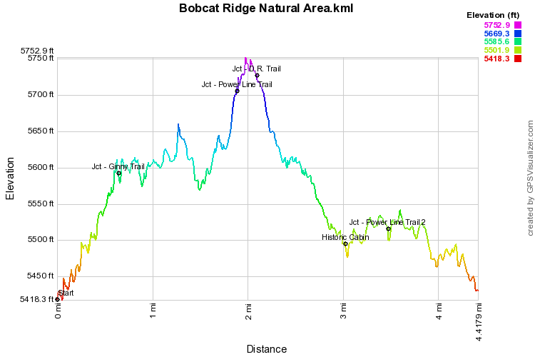
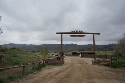
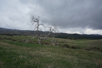
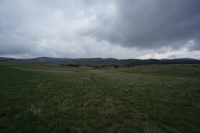
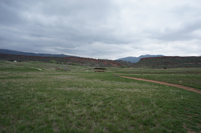
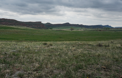
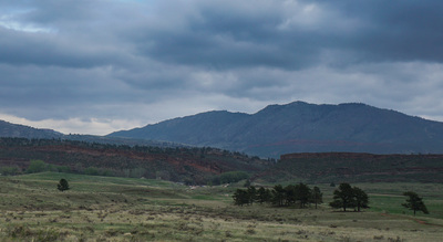
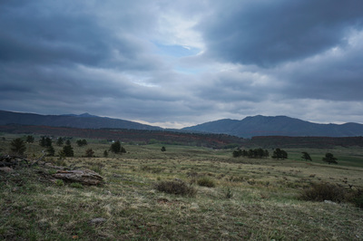
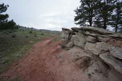
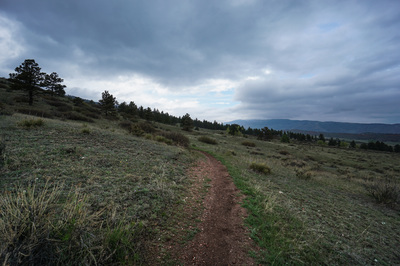
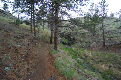
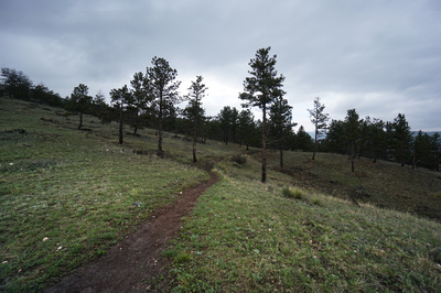
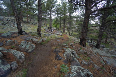
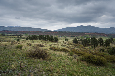
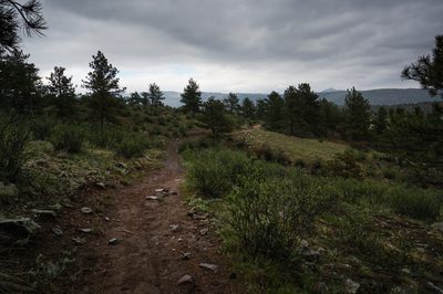
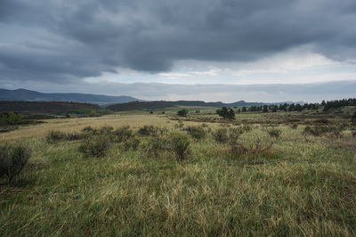
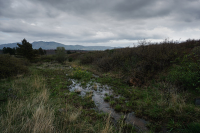
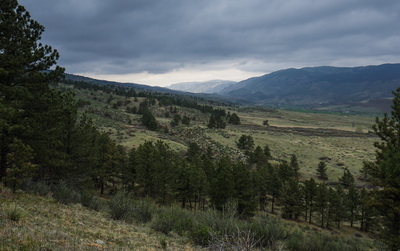
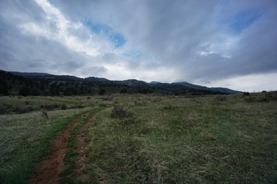
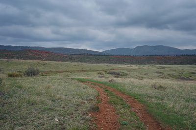
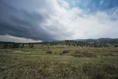
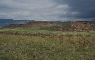
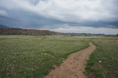
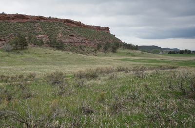
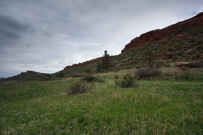
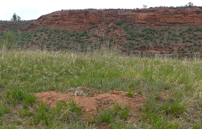
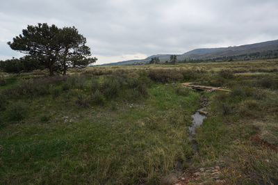
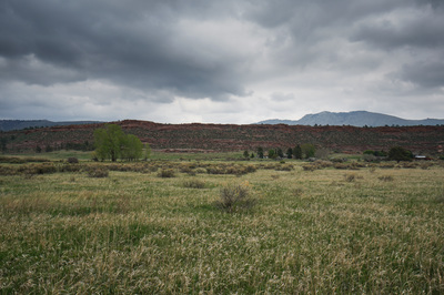
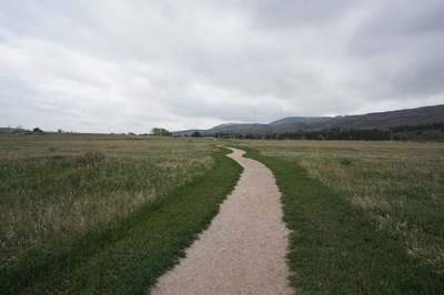
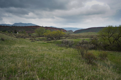
Bobcat Ridge is a wonderful open space park tucked away between the massive hogback ridges of Fort Collins and the Front Range foothills. The park basically consists of two loop options; the Ginny Trail (about 6 miles) and the Valley View Trail, described here. The hike climbs up onto a ridge and skirts the side of the foothills providing terrific views east to the red rock ridge and the hogback beyond. From the parking area, start out on the paved trail to the trailhead kiosk. Continue straight and turn left at the trailsign for the Valley View Trail. Gradually head up-hill to another trail junction with the Ginny Trail, rather than continuing uphill, turn right and follow the Valley View Trail for 1.25 miles as it rises and falls along the mountain side. The trail weaves through very pleasant evergreen forests and open meadows, with great views at every turn. When you reach the trail junction for the Power Line Trail, continue as the trail turns uphill and gains a small ridge. From this point the trail veers to the east and heads back downhill, across the meadow towards the red rock ridge. Before joining with the trail back to the parking area, take a short detour to a historic cabin. The cabin itself is a nice picnic area (with restrooms), but the real reason to take this side trail is that it gets you much closer to the red rock wall that you've been looking at for the past 3.5 miles. After your side trail, take the main gravel trail all the way back to the parking lot to complete your loop. Bobcat Ridge provides a wonderful relaxing stroll or a great late afternoon fitness hike. The park also provides a quieter experience with half as many visitors as the nearby Horsetooth Mountain or Devil's Backbone parks. |
- HOME
- ABOUT
-
HIKES BY REGION
-
NATIONAL PARK HIKES
- BENT'S OLD FORT NATIONAL HISTORIC SITE
- BLACK CANYON OF THE GUNNISON NATIONAL PARK
- COLORADO NATIONAL MONUMENT
- CURECANTI NATIONAL RECREATION AREA
- DINOSAUR NATIONAL MONUMENT
- FLORISSANT FOSSIL BEDS NATIONAL MONUMENT
- MESA VERDE NATIONAL PARK
- ROCKY MOUNTAIN NATIONAL PARK
- GREAT SAND DUNES NATIONAL PARK
- HOVENWEEP NATIONAL MONUMENT
- SAND CREEK MASSACRE NATIONAL HISTORIC SITE
- YUCCA HOUSE NATIONAL MONUMENT
- HIKES BY CATEGORY
- NEWS
- WEBCAMS
- $UPPORT GHC
- INTERACTIVE MAP
Valley View Trail
Bobcat Ridge Natural Area
Date Hiked: May 1, 2015
Distance: 4.4 mi (RT)
Elevation Gain: 575ft
Elevation Min/Max: 5,418 to 5,753ft
Trailhead Lat/Long: 40º 28' 47" N; 105º 13' 33" W
Managing Agency: City of Fort Collins
Fee: None

