|
DIRECTIONS: From Fort Collins, head west on Harmony Road which becomes County Road 38E. Follow the road as it switchbacks up to Horsetooth Reservoir. Turn right (north) on Centennial Drive along the eastern shore of the reservoir. Follow Centennial Drive for 3 miles to the Rotary Park Parking Area.
Fort Collins' Maxwell Natural Area is one in a series of parks situated along the eastern shore of Horesetooth Reservoir. These parks are connected by the Foothills Trail and can be linked together for long hiking and biking routes. However, if you are looking for a shorter outing, great for kids and adults alike, then the Maxwell Natural Area also has the "A" Overlook Trail.
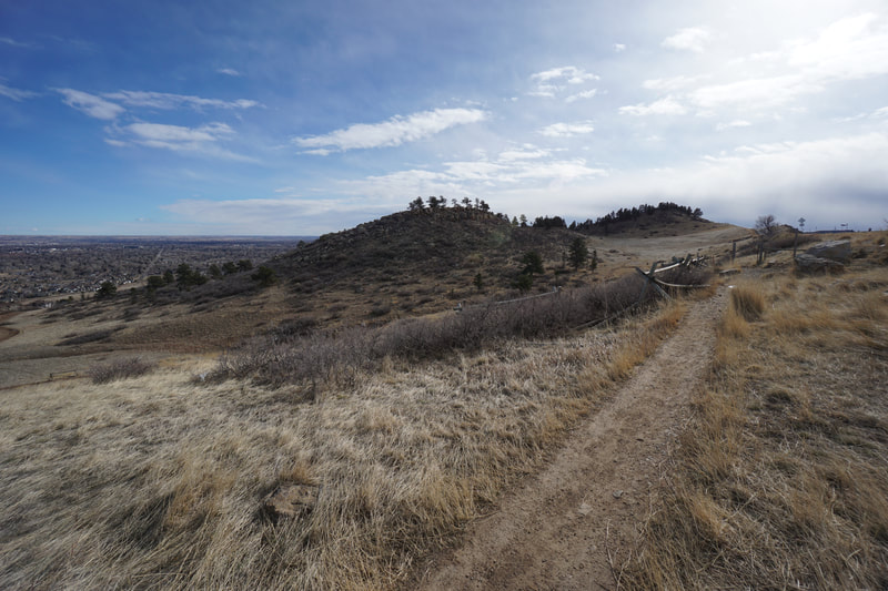
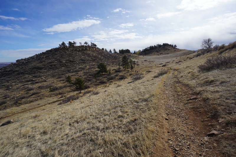
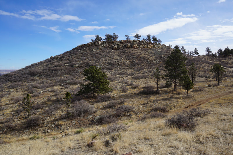
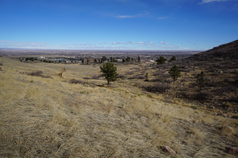
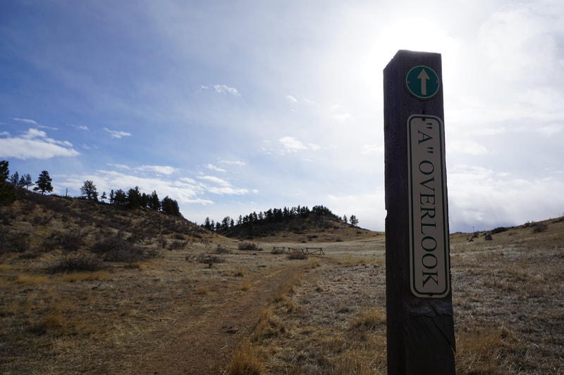
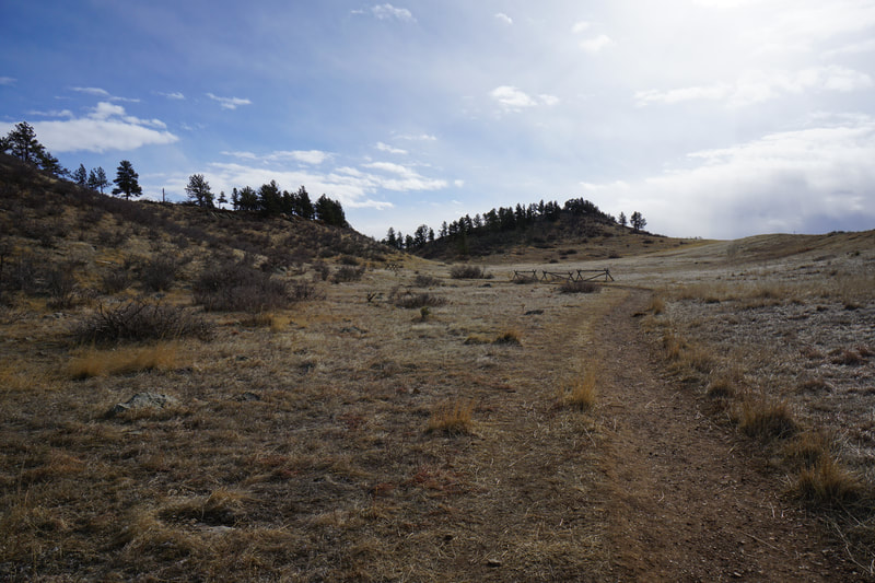
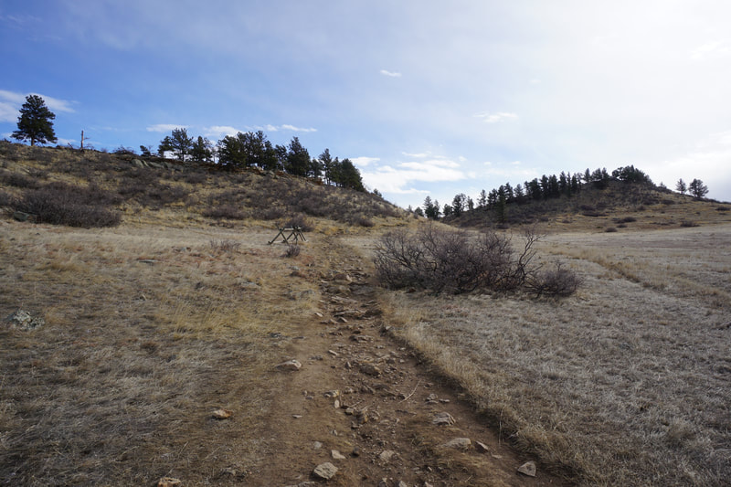
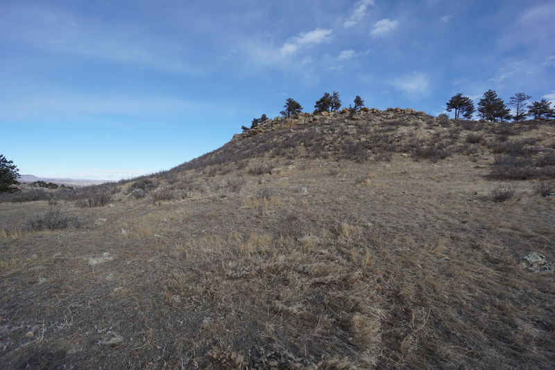
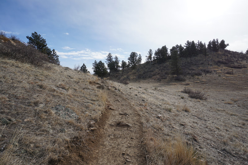
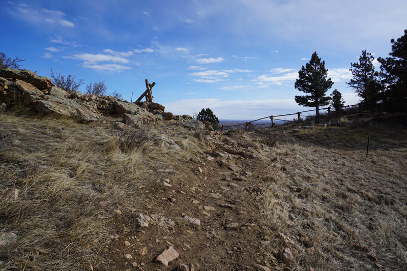
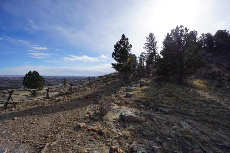
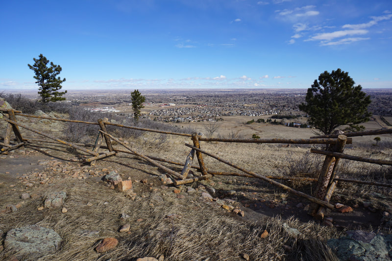
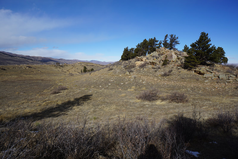
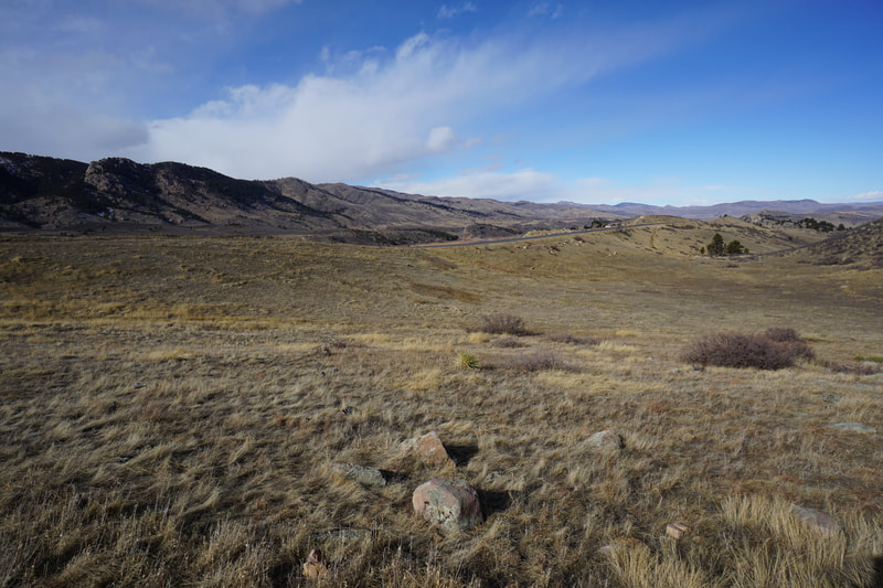
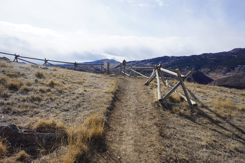
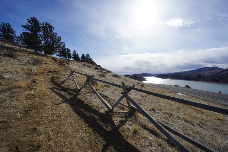
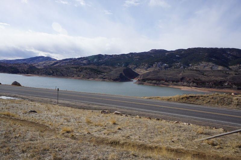
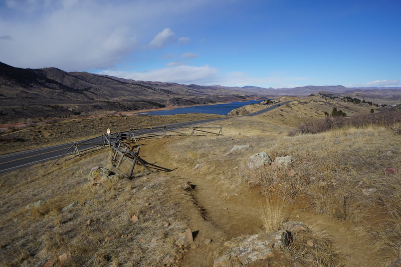
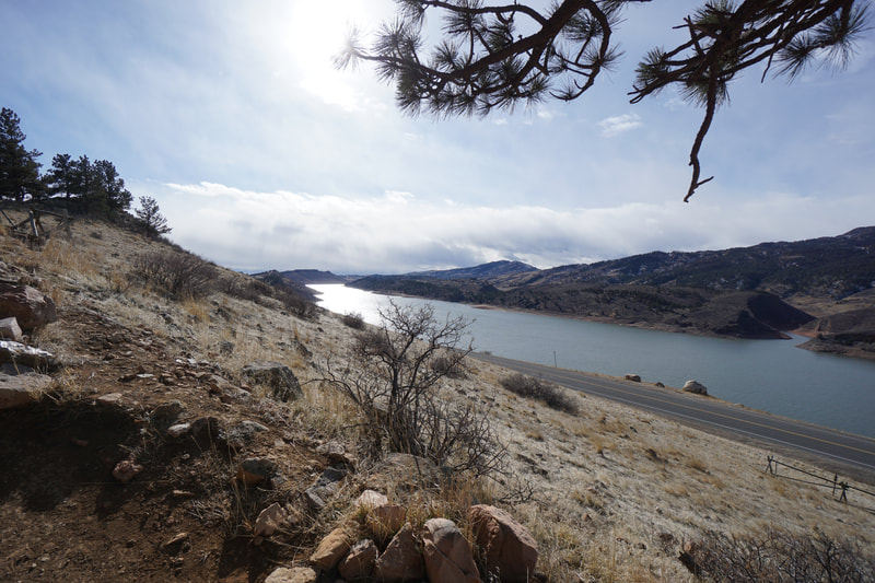
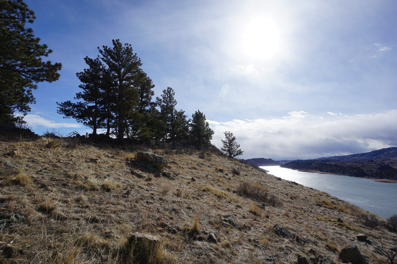
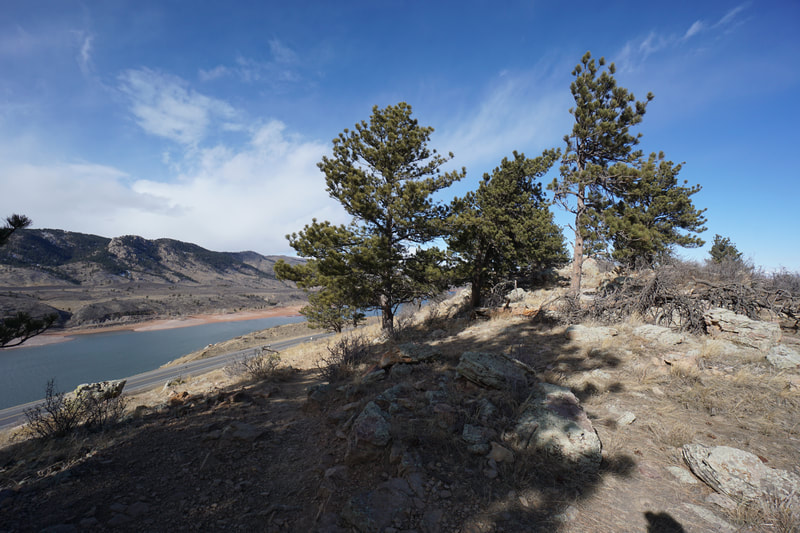
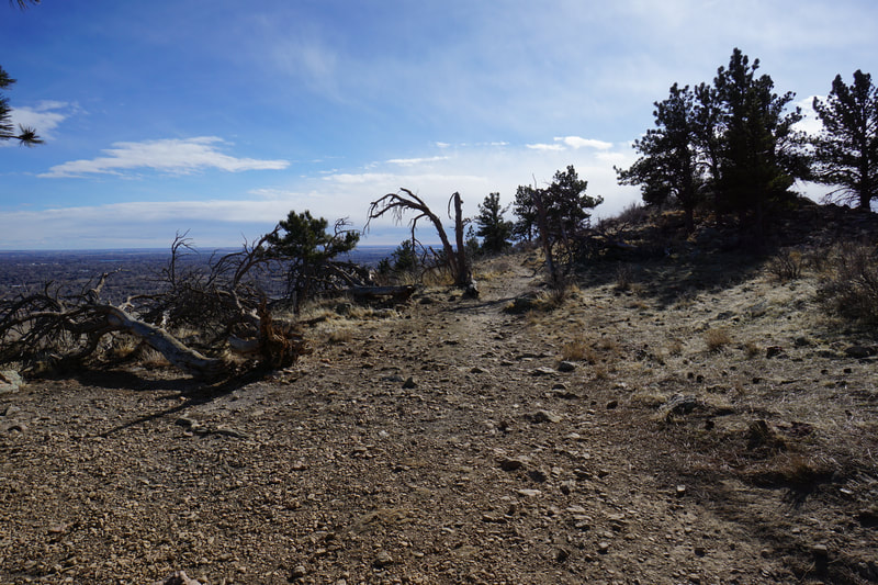
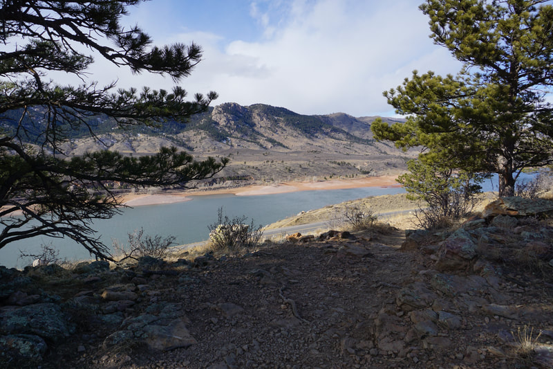
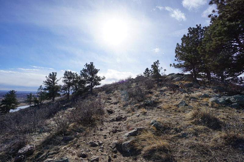
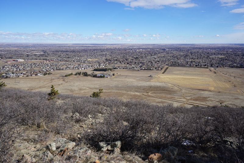
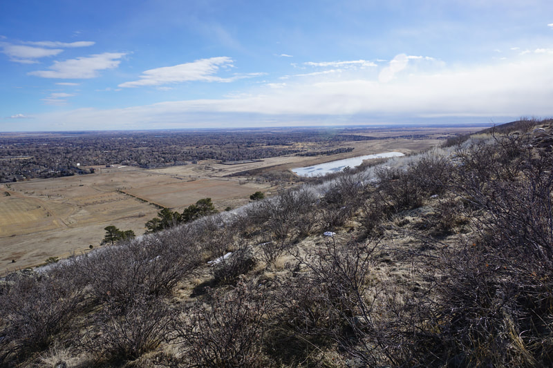
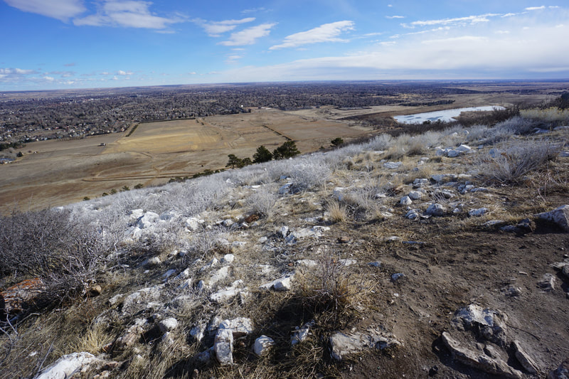
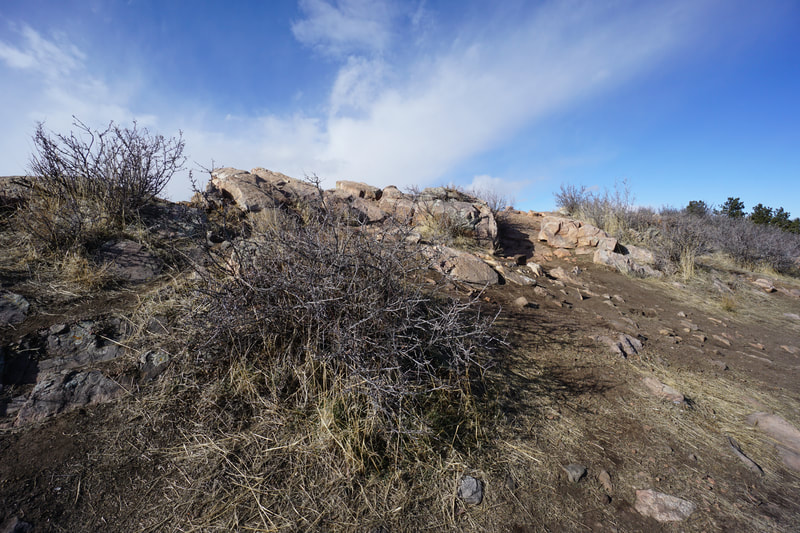
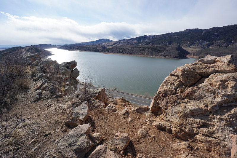
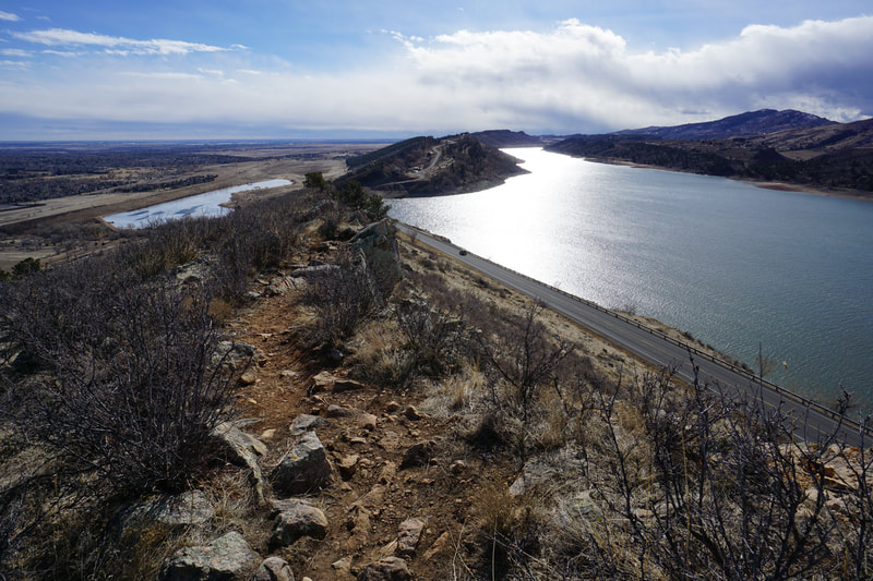
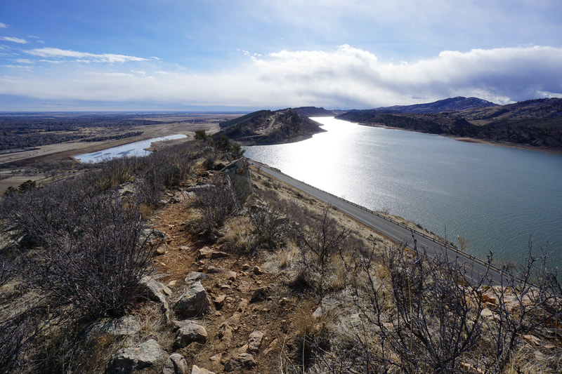
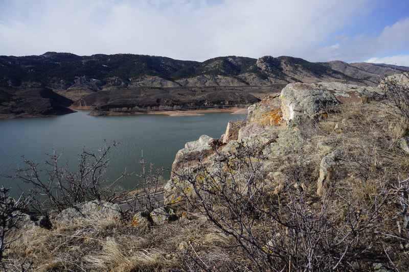
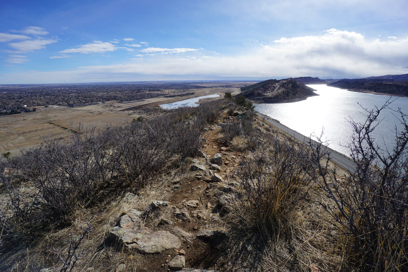
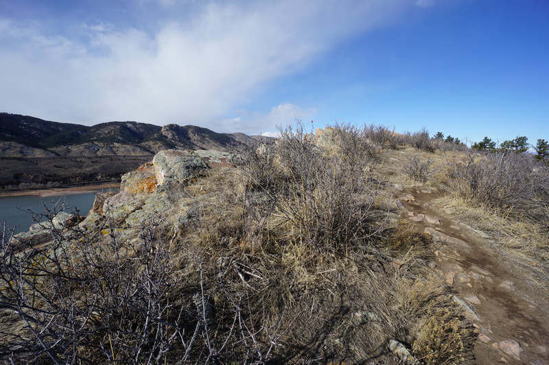
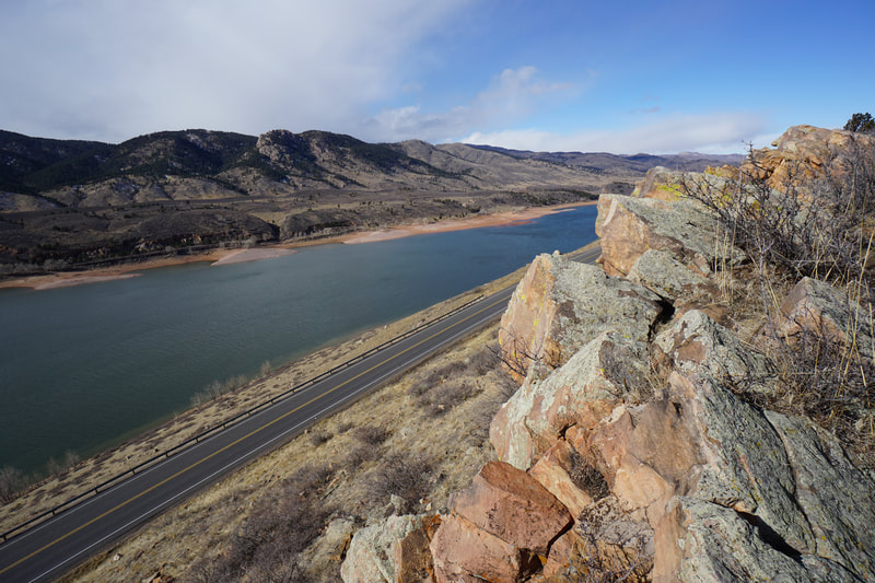
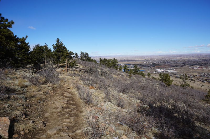
The "A" Overlook refers to the large letter A painted in white on the eastern slope of the hogback ridge, visible from most of Fort Collins. However, the views on the western side of the hogback of Horsetooth Reservoir with Horsetooth Mountain and Lory State Park in the background are the main attractions for this hike. The view is stellar and the hike is easy, perfect combination. The hike starts at the Rotary Park Trailhead along County Road 23. At the north end of the parking area, cross the street and look for the trailhead leading down to the east. The trail dips down to the bottom of the valley and the Foothills Trail Junction. Instead of turning left for the Foothills Trail, turn right at the trail sign for "A" Overlook. From here the trail heads off to the south and gradually climbs to a saddle on the hogback with nice views to the east. Continue along the trail as it winds its way up to the top of the hogback ridge, then along the eastern flanks of the ridge. When you reach the area where all the vegetation is painted white, you are nearly there. The trail leads to the top of the ridge again and peters out soon after. The top of the ridge provides fantastic views in every direction and is a nice place to sit on a rock and relax. The return trip follows the same trail back to Rotary Park. At just a little over 1 mile round trip, the "A" Overlook Trail is a short but sweet hike that is great in any season. You can add it on to a longer hike along the Foothills Trail or make it a short hike with a big payoff. The hike is great for kids and perfect for sunrise or sunset hikes. |
- HOME
- ABOUT
-
HIKES BY REGION
-
NATIONAL PARK HIKES
- BENT'S OLD FORT NATIONAL HISTORIC SITE
- BLACK CANYON OF THE GUNNISON NATIONAL PARK
- COLORADO NATIONAL MONUMENT
- CURECANTI NATIONAL RECREATION AREA
- DINOSAUR NATIONAL MONUMENT
- FLORISSANT FOSSIL BEDS NATIONAL MONUMENT
- MESA VERDE NATIONAL PARK
- ROCKY MOUNTAIN NATIONAL PARK
- GREAT SAND DUNES NATIONAL PARK
- HOVENWEEP NATIONAL MONUMENT
- SAND CREEK MASSACRE NATIONAL HISTORIC SITE
- YUCCA HOUSE NATIONAL MONUMENT
- HIKES BY CATEGORY
- NEWS
- WEBCAMS
- $UPPORT GHC
- INTERACTIVE MAP
"A" Overlook Trail
Maxwell Natural Area
Date Hiked: January 18, 2021
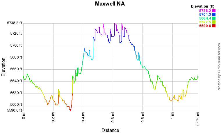
Distance: 1.2 mi (RT)
Elevation Gain: 250 ft
Elevation Min/Max: 5,590 to 5,728 ft
Trailhead Lat/Long: 40.56695, -105.15517
Managing Agency: City of Colorado Springs
Fee: None

