GO HIKE COLORADO
Get in Touch:
  • HOME
  • ABOUT
  • HIKES BY REGION
    • DENVER AREA >
      • Denver Mountain Parks
      • Jefferson County Open Space
      • Lakewood Parks
      • Denver Area Greenways
    • BOULDER AREA
    • DOUGLAS COUNTY
    • FORT COLLINS AREA
    • COLORADO SPRINGS AREA
    • FRONT RANGE
    • TENMILE & MOSQUITO RANGES
    • GORE RANGE
    • SANGRE DE CRISTO MOUNTAINS
    • PARK RANGE
    • SAWATCH RANGE
    • ELK MOUNTAINS
    • SAN JUAN MOUNTAINS
    • THE FLAT TOPS
    • GRAND MESA
    • COLORADO PLATEAU
    • EASTERN PLAINS
  • NATIONAL PARK HIKES
    • BENT'S OLD FORT NATIONAL HISTORIC SITE
    • BLACK CANYON OF THE GUNNISON NATIONAL PARK
    • COLORADO NATIONAL MONUMENT
    • CURECANTI NATIONAL RECREATION AREA
    • DINOSAUR NATIONAL MONUMENT
    • FLORISSANT FOSSIL BEDS NATIONAL MONUMENT
    • MESA VERDE NATIONAL PARK
    • ROCKY MOUNTAIN NATIONAL PARK
    • GREAT SAND DUNES NATIONAL PARK
    • HOVENWEEP NATIONAL MONUMENT
    • SAND CREEK MASSACRE NATIONAL HISTORIC SITE
    • YUCCA HOUSE NATIONAL MONUMENT
  • HIKES BY CATEGORY
    • HIKES TO ALPINE LAKES
    • HIKES TO PEAKS & PASSES
    • HIKES THROUGH CANYONS
    • HIKES WITH FALL COLORS
    • HIKES ALONG THE I-70 CORRIDOR
    • HIKES ON PAVED TRAILS
    • HIKES FOR KIDS
    • HIKES TO WATERFALLS
    • HIKES ALONG RIVERS
    • HIKES WITH ROCK FORMATIONS
    • HIKES WITH WILDFLOWERS
    • WINTER HIKES
  • NEWS
  • WEBCAMS
  • $UPPORT GHC
  • INTERACTIVE MAP

Chavez > Beaver Brook Loop
Genesee Park

Date Hiked: March 30, 2012

Distance: 4 mi (RT) - 5 mi (RT) in the offseason

  • Elevation Gain: 1,300ft
NOTE (7/27/2016): DUE TO RECENT CONSTRUCTION DISTANCE & ELEVATION GAIN MAY NOT BE ACCURATE - CHECK BACK FOR UPDATED TRAIL DESCRIPTION 
  • Elevation Min/Max: 6,552 to 7,641ft
  • Managing Agency: Denver Mountain Parks
  • Fee: None

Genesee Park Map
Picture

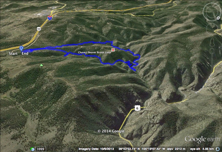
Directions:  From Denver take I-70 West to the Chief Hosa Exit.  From the exit turn right (west) and then a quick right (north) onto Stapleton Road, following signs to Genesee Park.  Continue on Stapleton Road.  During the winter the road is closed by a gate, during the spring, summer, and fall, you can drive all the way to the trailhead. 


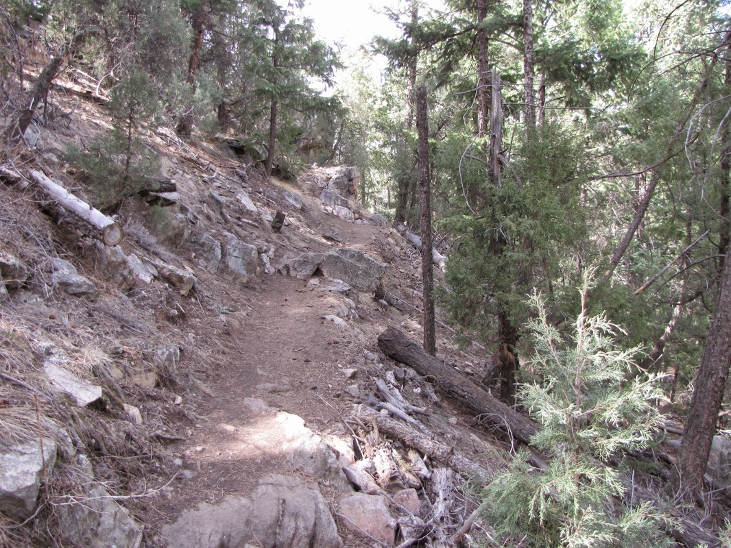
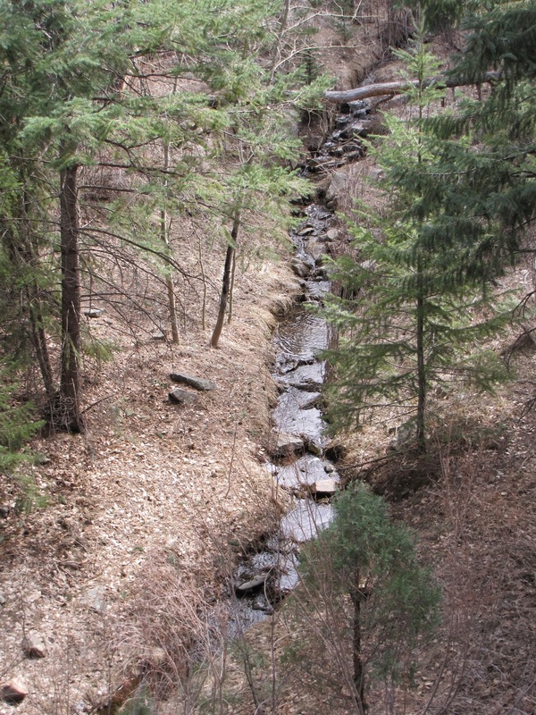
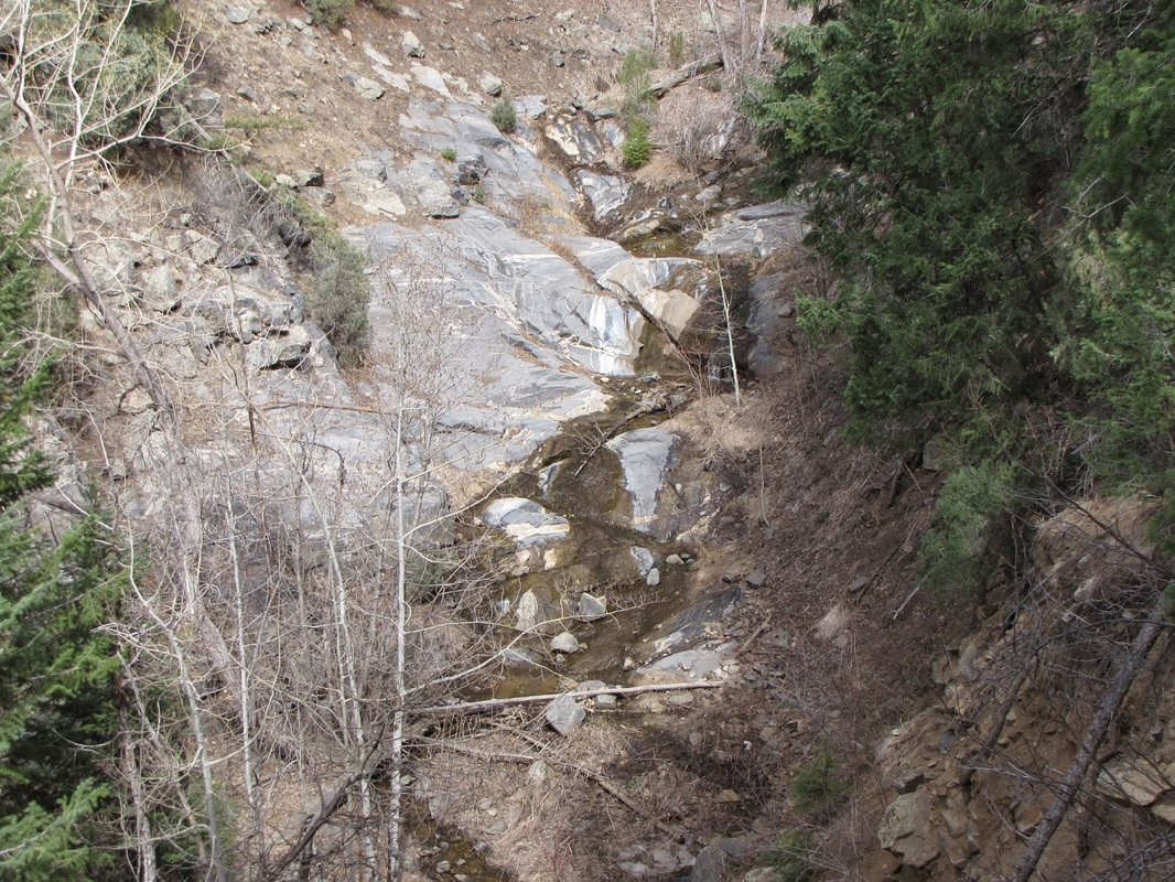
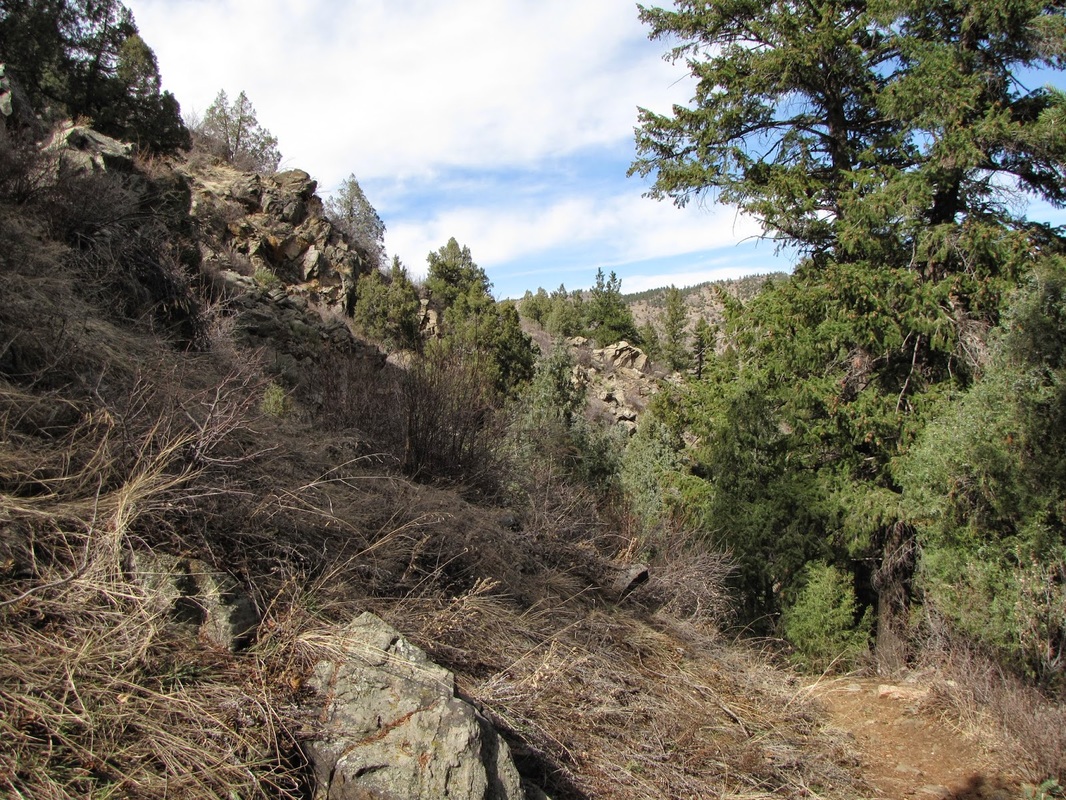
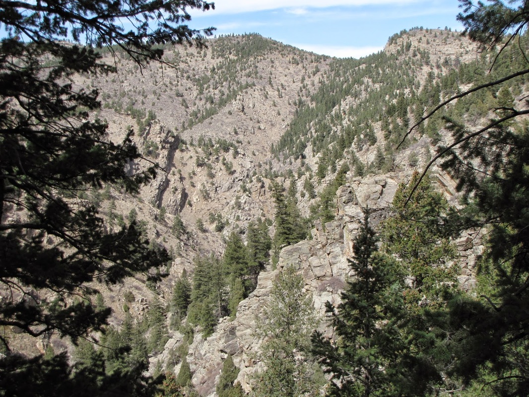
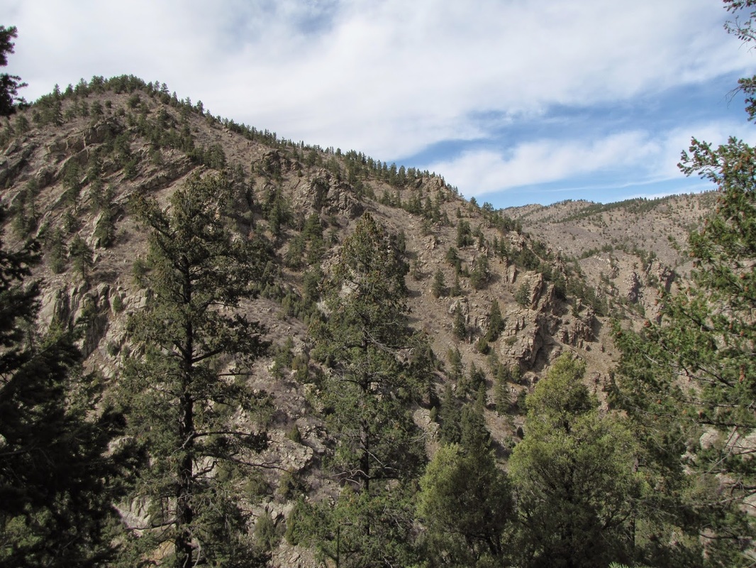
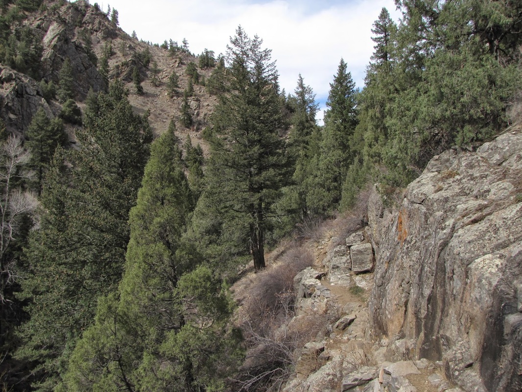
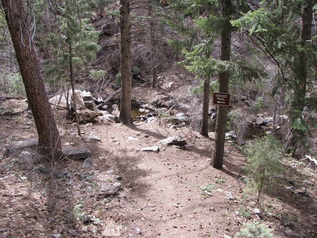
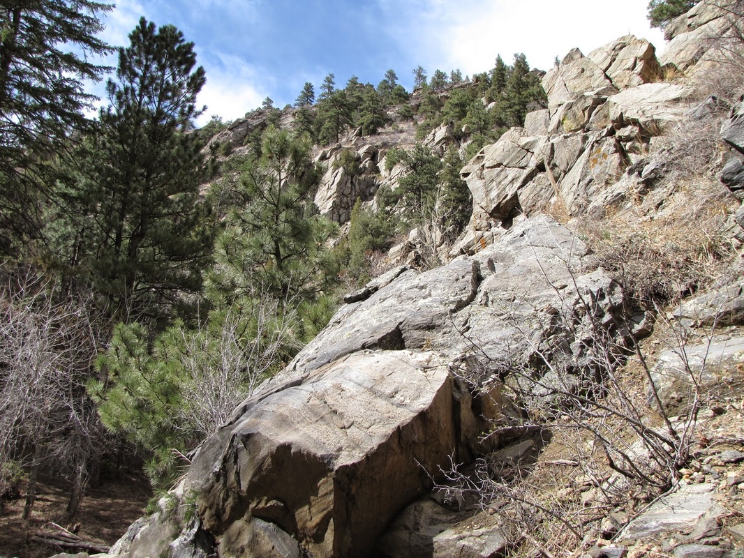
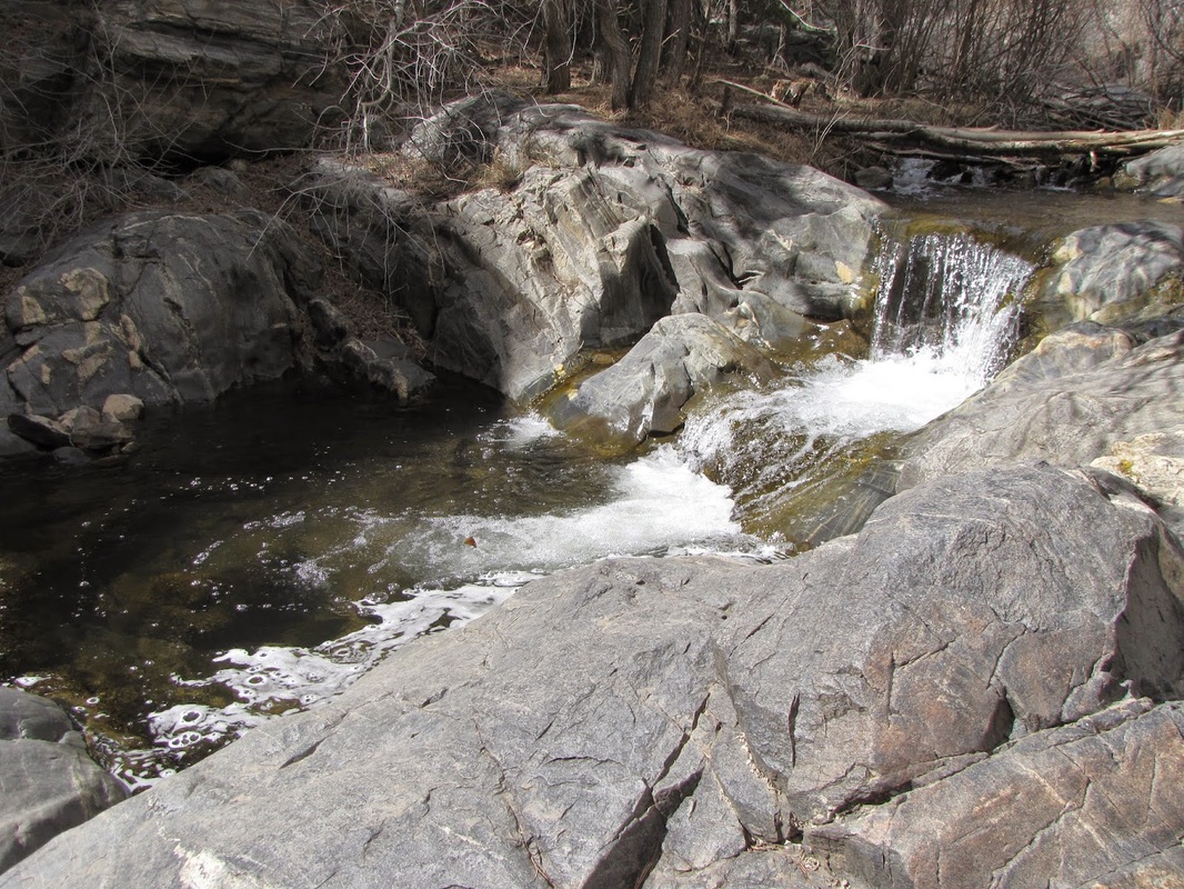
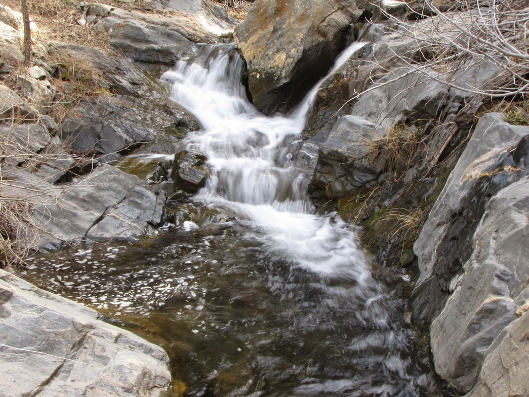
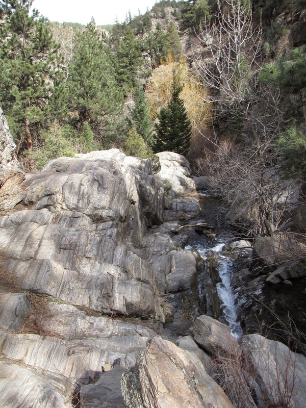
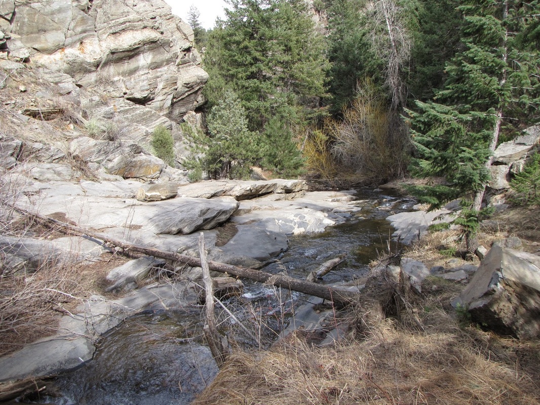
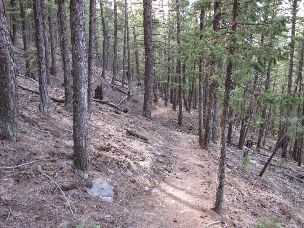
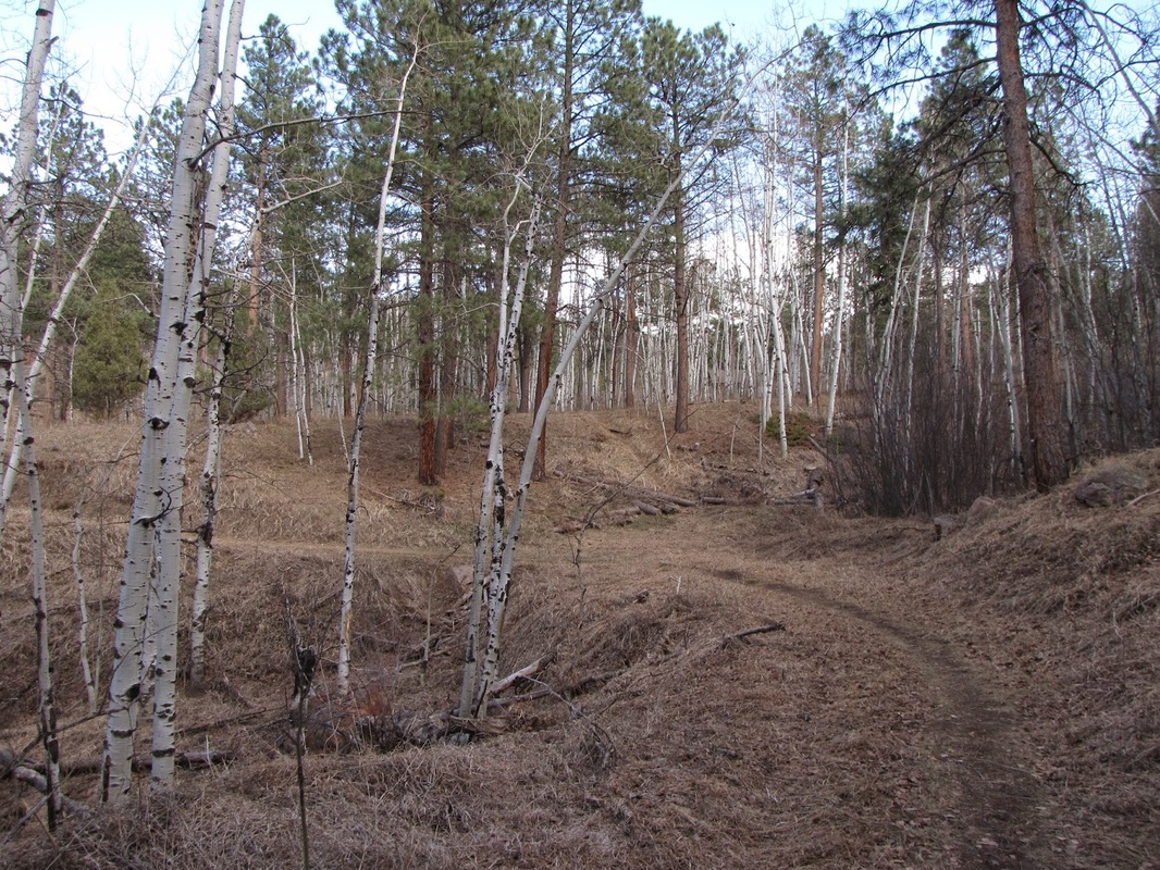
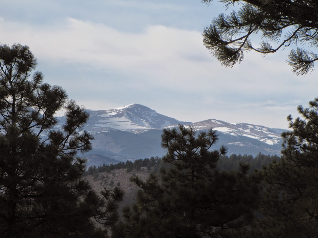
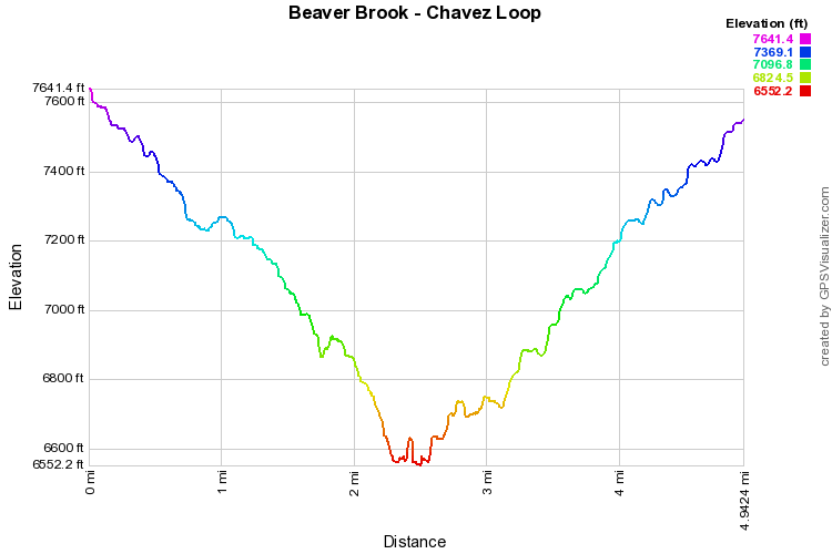
The Beaver Brook Trail is an 8 mile trek through the foothills that leads from Genesee Park to Windy Saddle Park.  However, there is a wonderful 4 mile loop hike that starts on the Beaver Brook Trail and returns via the Chavez Trail.  For this trail description, there is an extra mile, roundtrip, because the gate to the trailhead was closed for the season.  The trail starts on the Braille Trail aka the Stapleton Mountain Nature Trail, a short nature trail that features braille signage.  The Braille Trail ends with a stream crossing and a sign pointing the way to the Beaver Brook Trail.  The BB Trail heads down a forested canyon and as you get closer to the bottom, the trail gets steep and rocky.  The canyon closes in and you reach Beaver Brook. 

A sign at Beaver Brook will point to the left for the Chavez Trail, if you don't want to explore more of the Beaver Brook Trail, turn left here.  You'll be glad you did as the Chavez Trail is lots of fun to hike.  Cross Beaver Brook and look for the trail on the other side.  The trail follows Beaver Brook for a ways and then picks its way up-stream through narrow granite canyons and across rock faces.  Once through the canyon the trail becomes your typical uphill forest hike.  When you reach an old service road, head left and eventually you'll pop out back at the trailhead.  The part of the Chavez Trail down in the canyon is a fantastic area and you'll want to come back and explore again and again.
Powered by Create your own unique website with customizable templates.