GO HIKE COLORADO
Get in Touch:
  • HOME
  • ABOUT
  • HIKES BY REGION
    • DENVER AREA >
      • Denver Mountain Parks
      • Jefferson County Open Space
      • Lakewood Parks
      • Denver Area Greenways
    • BOULDER AREA
    • DOUGLAS COUNTY
    • FORT COLLINS AREA
    • COLORADO SPRINGS AREA
    • FRONT RANGE
    • TENMILE & MOSQUITO RANGES
    • GORE RANGE
    • SANGRE DE CRISTO MOUNTAINS
    • PARK RANGE
    • SAWATCH RANGE
    • ELK MOUNTAINS
    • SAN JUAN MOUNTAINS
    • THE FLAT TOPS
    • GRAND MESA
    • COLORADO PLATEAU
    • EASTERN PLAINS
  • NATIONAL PARK HIKES
    • BENT'S OLD FORT NATIONAL HISTORIC SITE
    • BLACK CANYON OF THE GUNNISON NATIONAL PARK
    • COLORADO NATIONAL MONUMENT
    • CURECANTI NATIONAL RECREATION AREA
    • DINOSAUR NATIONAL MONUMENT
    • FLORISSANT FOSSIL BEDS NATIONAL MONUMENT
    • MESA VERDE NATIONAL PARK
    • ROCKY MOUNTAIN NATIONAL PARK
    • GREAT SAND DUNES NATIONAL PARK
    • HOVENWEEP NATIONAL MONUMENT
    • SAND CREEK MASSACRE NATIONAL HISTORIC SITE
    • YUCCA HOUSE NATIONAL MONUMENT
  • HIKES BY CATEGORY
    • HIKES TO ALPINE LAKES
    • HIKES TO PEAKS & PASSES
    • HIKES THROUGH CANYONS
    • HIKES WITH FALL COLORS
    • HIKES ALONG THE I-70 CORRIDOR
    • HIKES ON PAVED TRAILS
    • HIKES FOR KIDS
    • HIKES TO WATERFALLS
    • HIKES ALONG RIVERS
    • HIKES WITH ROCK FORMATIONS
    • HIKES WITH WILDFLOWERS
    • WINTER HIKES
  • NEWS
  • WEBCAMS
  • $UPPORT GHC
  • INTERACTIVE MAP

Summit County Recreation Path
Dillon to Frisco

Date Hiked: July 11, 2015

Distance: 13.2 mi (RT)
Elevation Gain: 372 ft
Elevation Start: 8,981 ft
Managing Agency: Summit County
Fee: None

Summit County Recreation Path Map
Picture

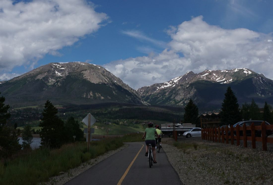
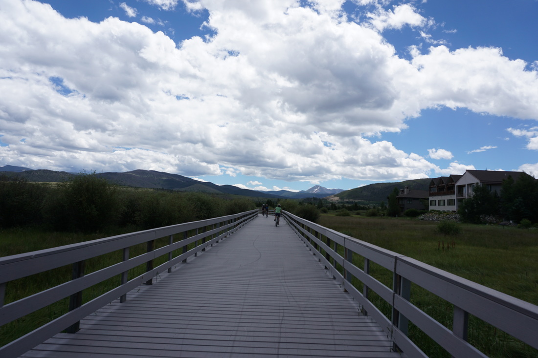
Directions:  The Recreation Path circumnavigates the entirety of Lake Dillon so there are numerous places to park and access the path.  A good starting point is at the Dillon Amphitheater in "downtown" Dillon, basically at the intersection of Lodgepole Street and Lake Dillon Drive.

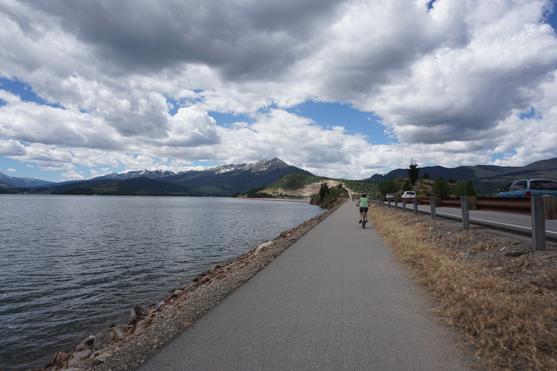
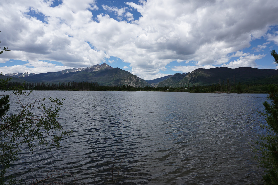
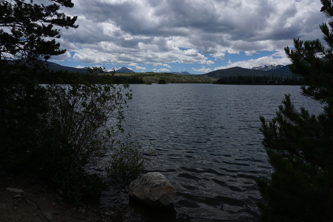
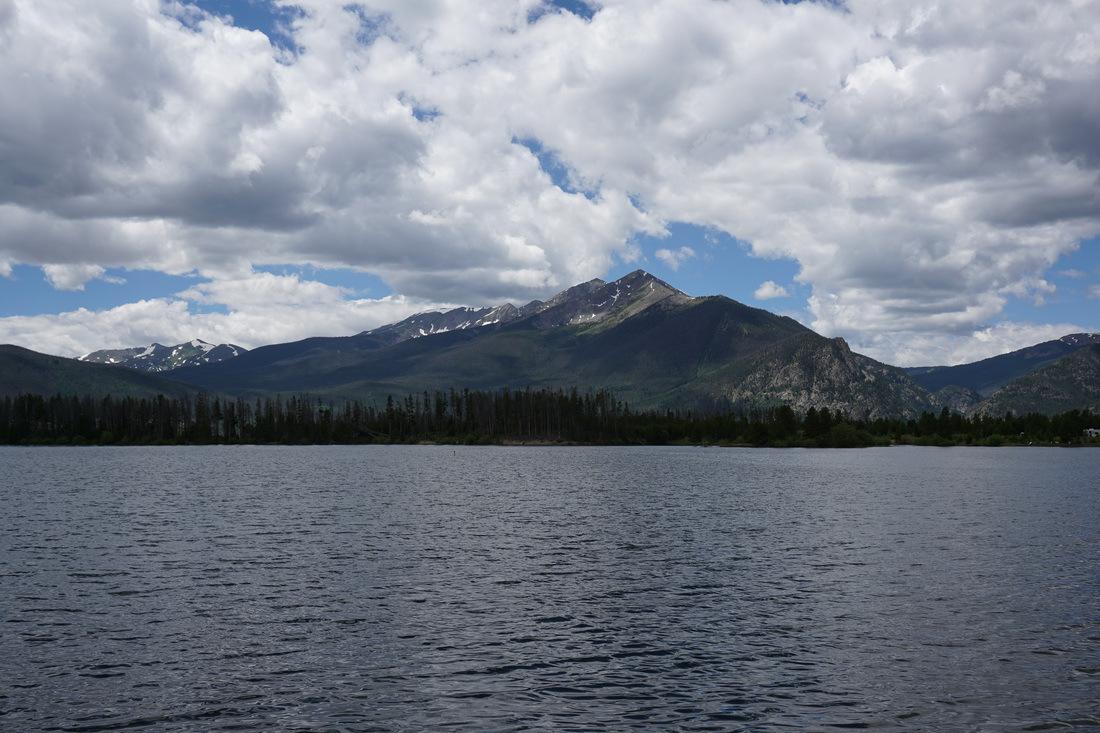
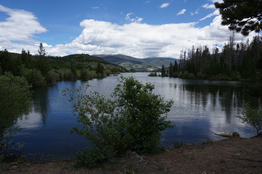
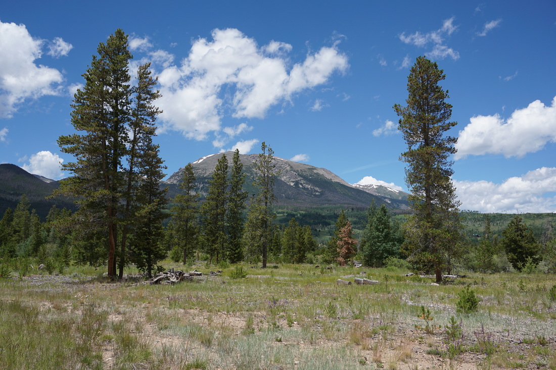
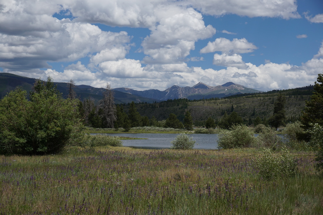
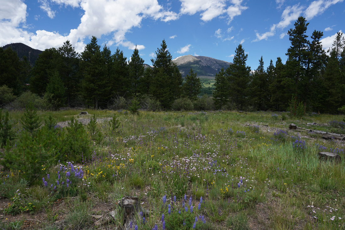
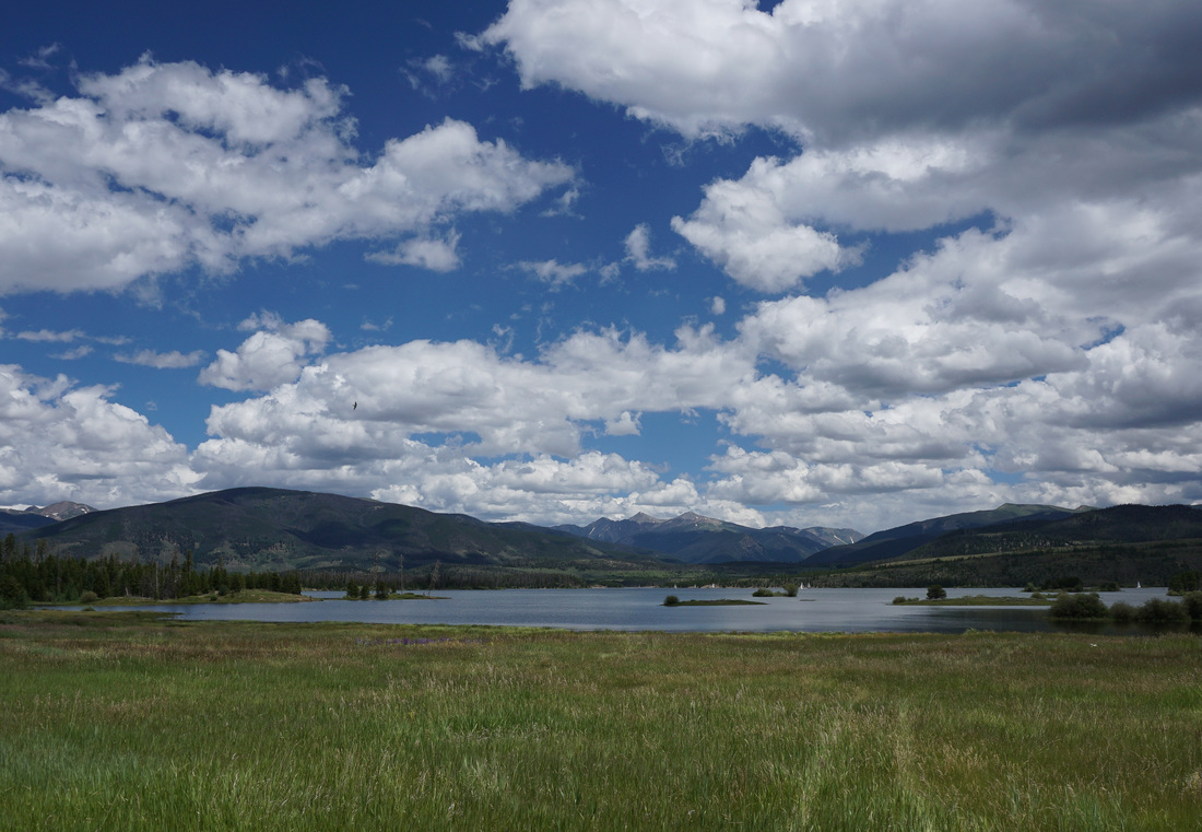
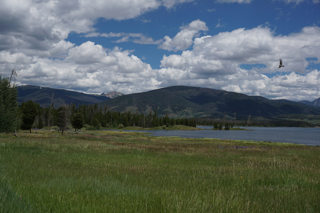
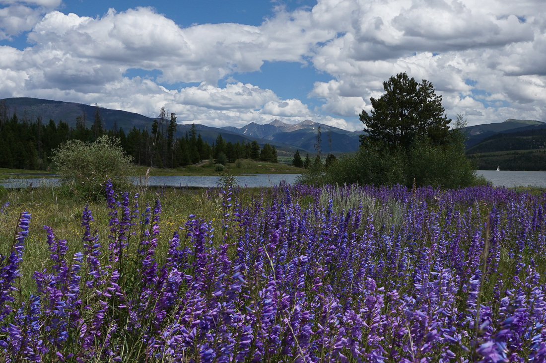
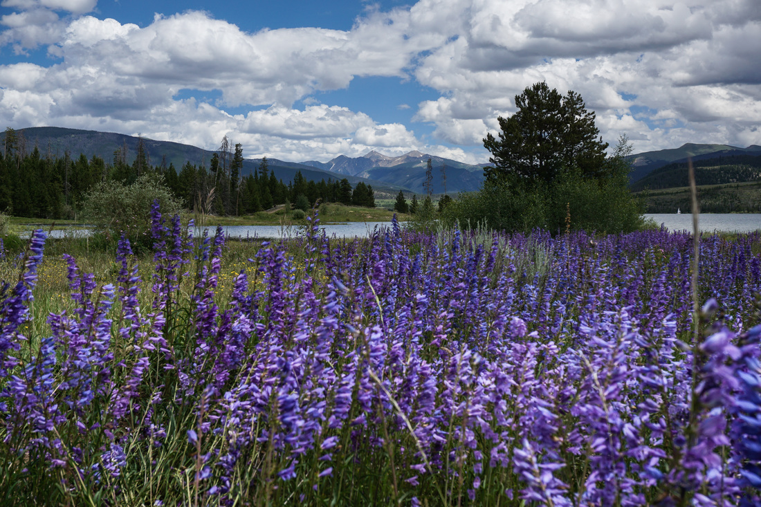
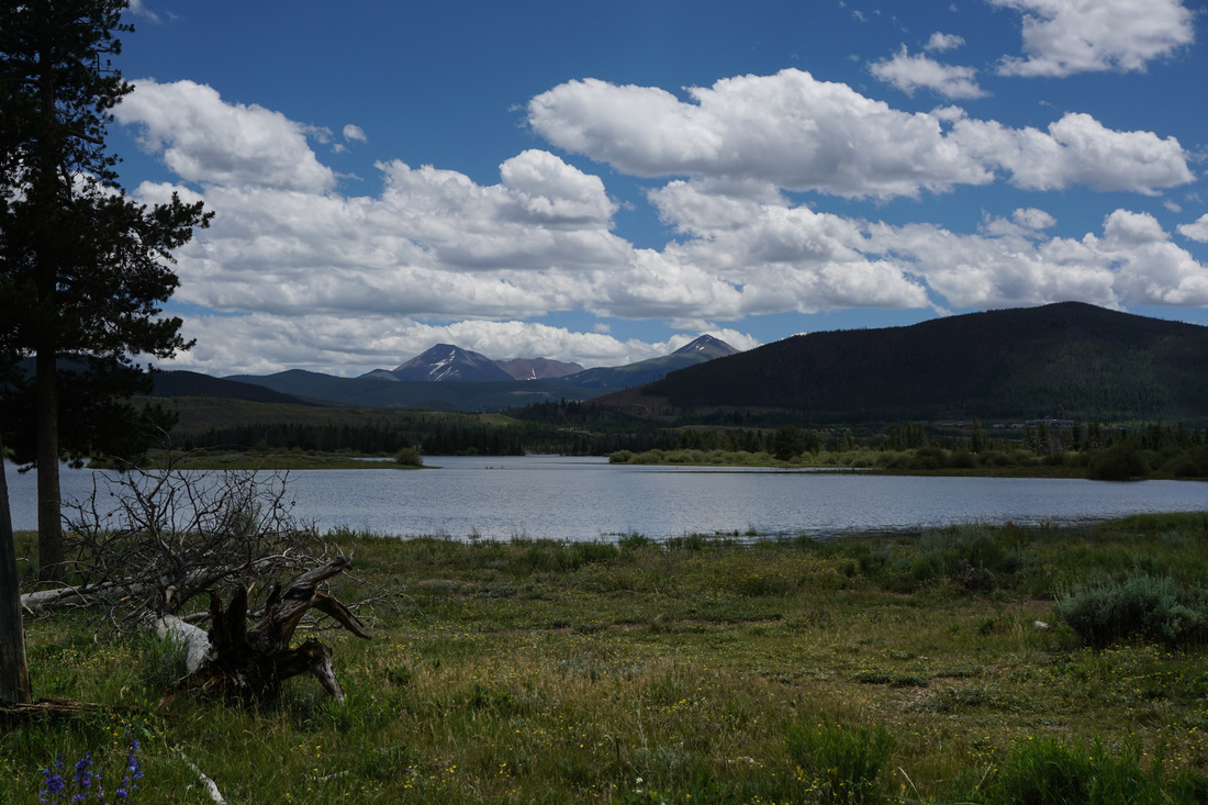
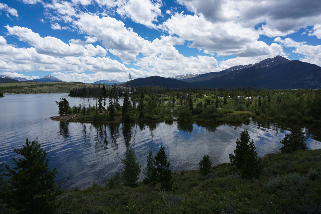
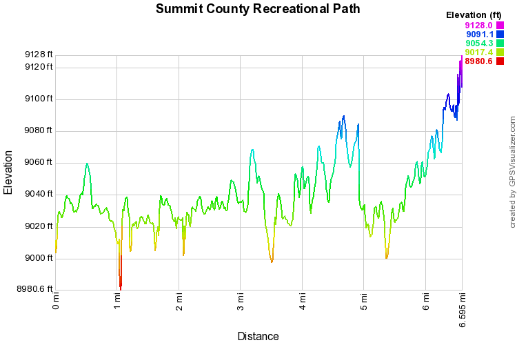
The Summit County Recreation Path is really not a hike.  It is used primarily for biking but plenty of people walk segments as well.  The path is wonderful.  The views of Grays and Torreys Peaks as well as Buffalo Mt., the Tenmile Range, and Baldy and Guyot to the south are fantastic. 

On this segment of the path, you'll travel over Dillon Dam, weave through a nature preserve (part of the Willow Preserve), and pop out at the Frisco Marina.  You can hike/bike all the way around the lake and even hook up with the trails to Breckenridge and Copper Mountain.  

The path also provides foot access to various hiking trails along the lake shore.  This recreational path is a useful tool for those looking to explore Lake Dillon and the hundreds of recreational opportunities along its shores.


Powered by Create your own unique website with customizable templates.