|
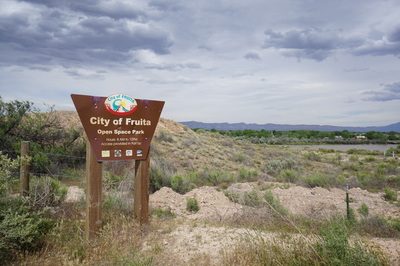
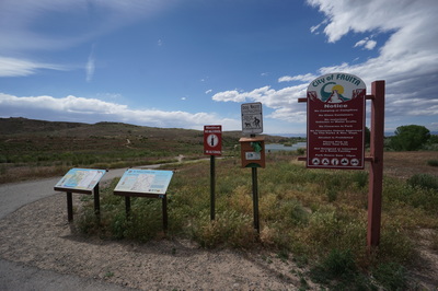
Directions: From Fruita and I-70, head south on 340 through two traffic circles and cross the Colorado River. Turn right (west) on Kingsview Road. The road will soon turn to a good dirt road and you'll see an entrance sign on the right for Fruita Open Space Park. Turn right and follow the road into the parking area and trailhead.
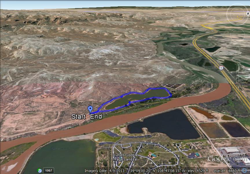
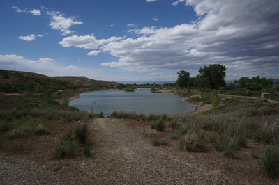
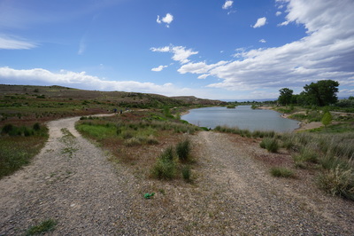
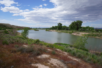
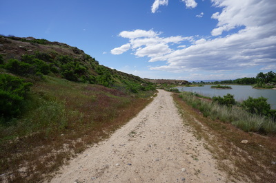
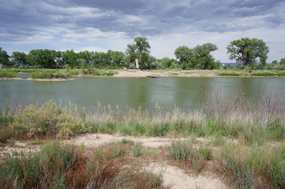
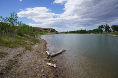
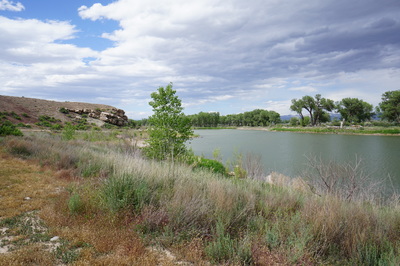
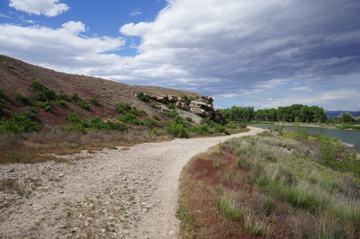
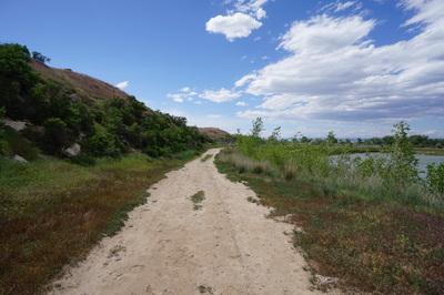
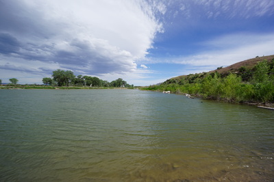
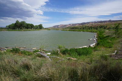
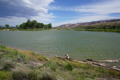
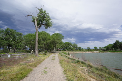
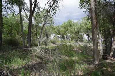
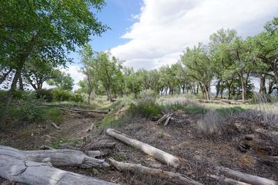
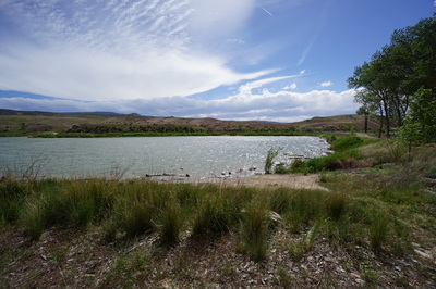
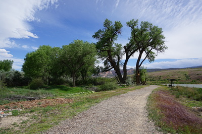
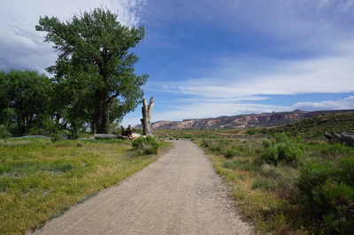
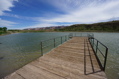
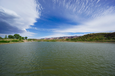
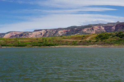
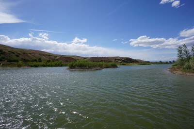
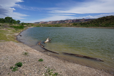
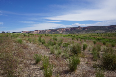
Snooks Bottom Open Space is a small and pleasant park and lake situated along the Colorado River. There is a roughly 1 mile trail that leads around the lake and trail connectors that take you to the top of Opal Hill. The trail around the lake is used by hikers and people looking to fish or play in the water. The eastern shore passes under some wonderful trees are are sure to provide stunning fall colors. This shady and cool spot offers a relaxing break from the surrounding desert.
|
- HOME
- ABOUT
-
HIKES BY REGION
-
NATIONAL PARK HIKES
- BENT'S OLD FORT NATIONAL HISTORIC SITE
- BLACK CANYON OF THE GUNNISON NATIONAL PARK
- COLORADO NATIONAL MONUMENT
- CURECANTI NATIONAL RECREATION AREA
- DINOSAUR NATIONAL MONUMENT
- FLORISSANT FOSSIL BEDS NATIONAL MONUMENT
- MESA VERDE NATIONAL PARK
- ROCKY MOUNTAIN NATIONAL PARK
- GREAT SAND DUNES NATIONAL PARK
- HOVENWEEP NATIONAL MONUMENT
- SAND CREEK MASSACRE NATIONAL HISTORIC SITE
- YUCCA HOUSE NATIONAL MONUMENT
- HIKES BY CATEGORY
- NEWS
- WEBCAMS
- $UPPORT GHC
- INTERACTIVE MAP
Snooks Bottom Open Space
Fruita Open Space Park
Date Hiked: May 21, 2016
Distance: 1.2 miles (RT)
Elevation Gain: Minimal
Elevation Min/Max: 4,455 to 4,517 ft
Trailhead Lat/Long:39º 08' 52" N; 108º 44' 48" W
Managing Agency: City of Fruita Parks & Recreation
Fee: None

