|
Directions: From I-70 exit at the Palisade Exit, and head south on Elberta Ave. Turn right (west) on 7/10 road and follow the road until it becomes dirt, passes under I-70 and leads to the Mt. Garfield Parking Area.
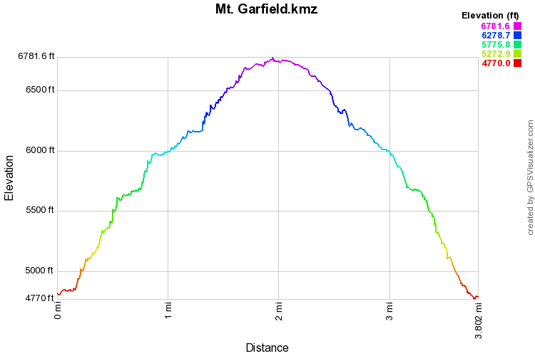
Mt. Garfield is a Grand Junction icon. This part of the bookcliffs can be seen from every vantage point surrounding the city and everyone know Mt. Garfield. It is also known as a difficult hike, and that is very, very true. The hike climbs 2,000 ft in 2 miles and has some dangerous sections, especially in bad weather. It is also one of the prettiest, gnarliest, and most gratifying hikes in the Grand Valley.
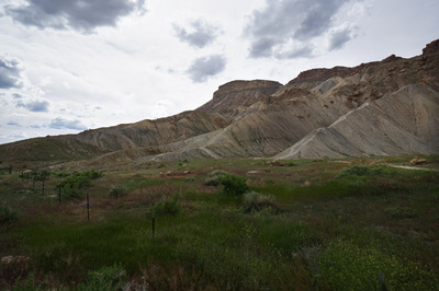
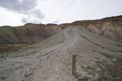
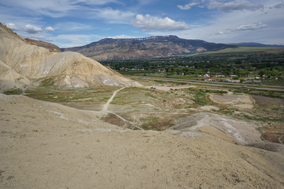
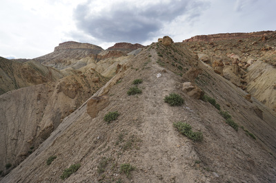
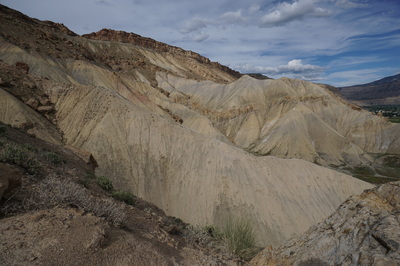
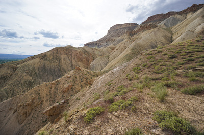
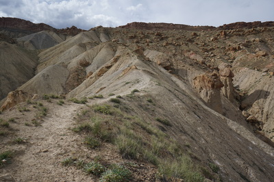
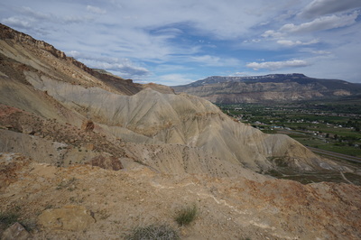
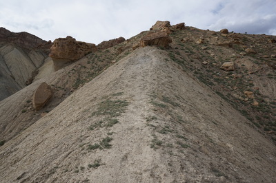
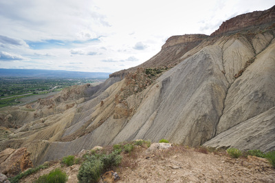
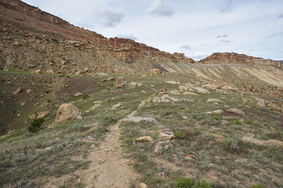
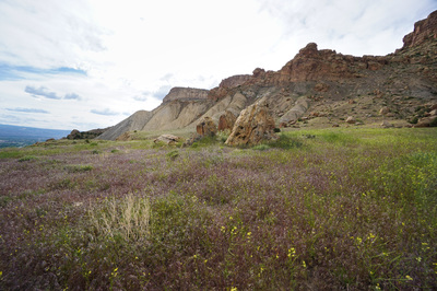
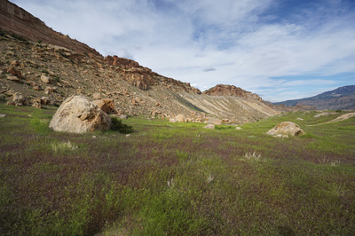
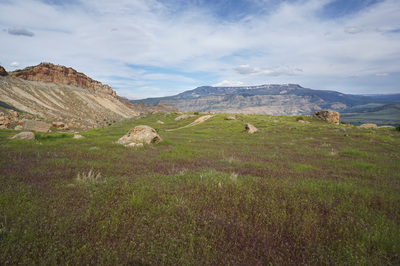
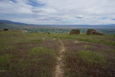
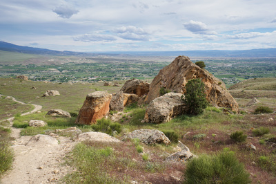
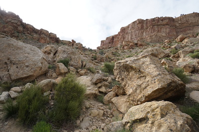
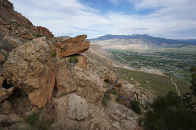
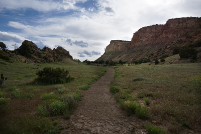
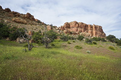
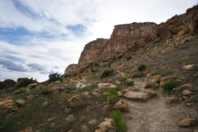
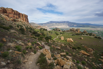
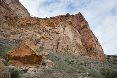
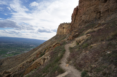
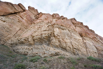
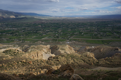
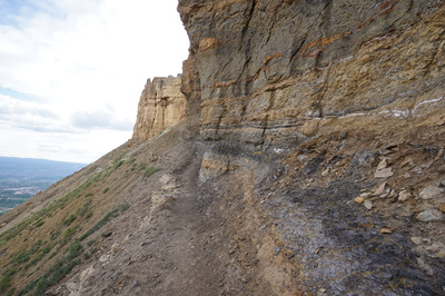
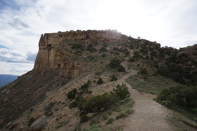
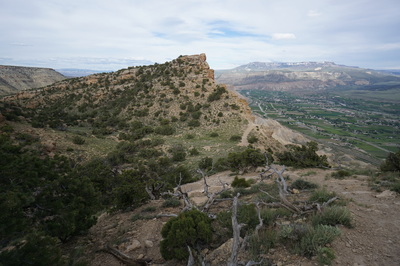
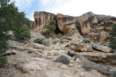
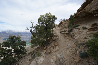
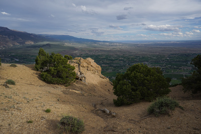
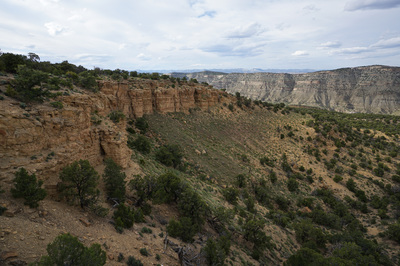
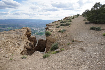
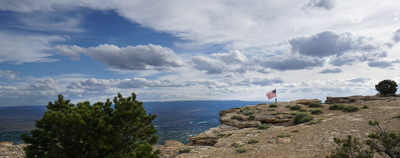
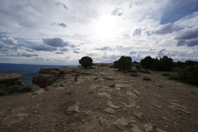
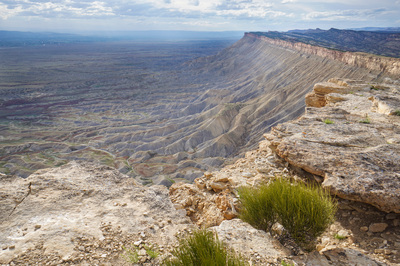
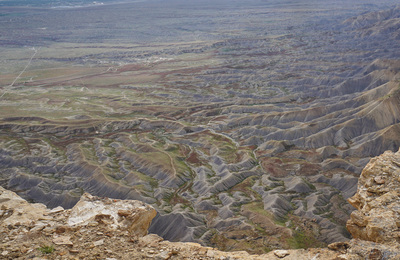
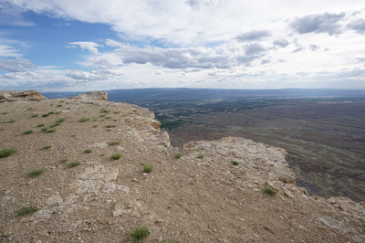
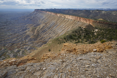
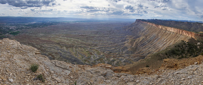
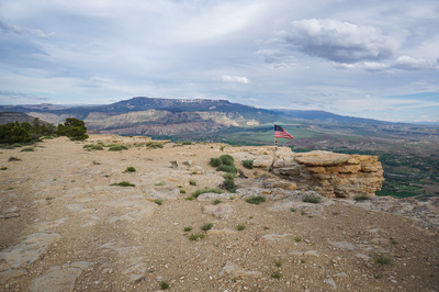
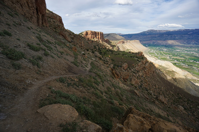
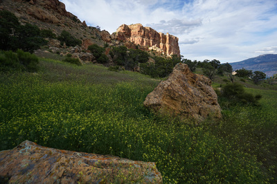
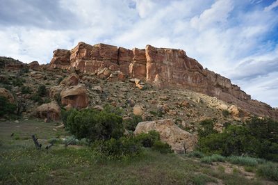
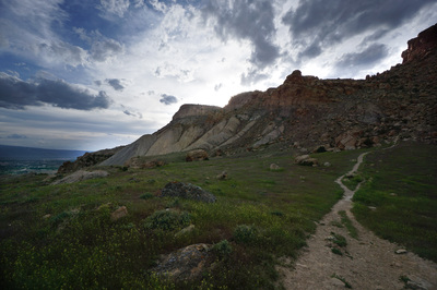
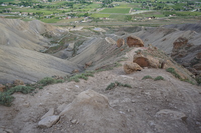
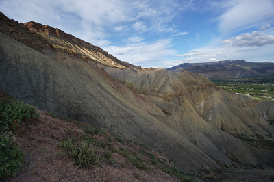
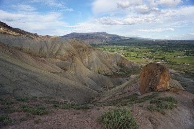
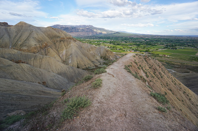
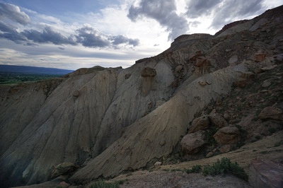
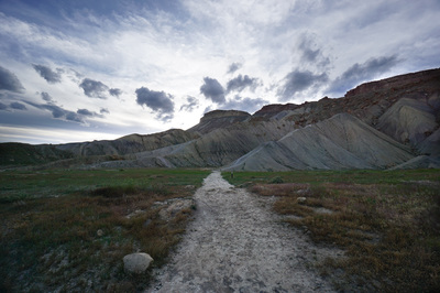
From the parking area, enter the fence and follow the obvious path to the first ridge with a small wooden post at the base. This is the trail up and down to the Mt. Garfield Mesa. There is another trail to the top by following the next ridge, there is a faint but obvious trail leading to this ridge. This is the harder route and there is one exceptionally steep and dangerous section. I highly recommend avoiding this route and sticking to the main ridge with the wooden post. The hike along the ridge is very steep and strenuous and you will feel the vertigo. Once you reach the rocky hillside after the ridge, the hiking is still steep but becomes much more comfortable. The views of the badlands-esque landscape from the ridge is unique and wonderful. Once you reach the 1st mesa ledge, you can take a deep breath and follow the trail through the pleasant grassy meadow. This part of the trail is stunningly beautiful. In the spring the green and purple grasses mix with yellow wildflowers and red rock cliffs to form a paradise. Take your time here and catch your breath, the trail continues through another steep rocky section and you'll need your strength. After a short steep section you'll find yourself in another beautiful ledge meadow. The trail continues upward and you'll soon be hiking along the base of the upper cliffs. This is fun and exhilarating section as the cliffs tower above and the slopes steeply disappear beneath you. Be sure to look to the south on a clear day for your first views of the Sneffels Range 100 miles away. Once you pass the cliffs you emerge at a saddle and after a short descent, you climb again through a rocky area. The trail tends to disappear in this section and a little trial and error may be necessary. Look for a cave in the cliff side and head towards it. Then follow the trail as it finally breaks through the summit cliffs and emerges on the gentle rock of Mt. Garfield. From here the hiking is easy and you can follow the trial or hug the rim. When you see the American Flag you've arrived at the official summit. You should definitely continue along the rim for a few more minutes to reach the view of the bookcliffs. This view is incredible. The terrain below is otherworldly and the cliffs stretch on forever. When driving to Grand Junction from the east you'll start seeing cliffs like this from the Roan Cliffs near rifle, through to the cliffs near Parachute, and finally to the bookcliffs of Grand Junction. The reason Mt. Garfield is so special is that there really are not that many opportunities to hike up these types of cliffs. There may be roads used by oil and gas operators, but very few trails. Mt. Garfield is very popular but is also an amazing hike and worth all the effort. |
- HOME
- ABOUT
-
HIKES BY REGION
-
NATIONAL PARK HIKES
- BENT'S OLD FORT NATIONAL HISTORIC SITE
- BLACK CANYON OF THE GUNNISON NATIONAL PARK
- COLORADO NATIONAL MONUMENT
- CURECANTI NATIONAL RECREATION AREA
- DINOSAUR NATIONAL MONUMENT
- FLORISSANT FOSSIL BEDS NATIONAL MONUMENT
- MESA VERDE NATIONAL PARK
- ROCKY MOUNTAIN NATIONAL PARK
- GREAT SAND DUNES NATIONAL PARK
- HOVENWEEP NATIONAL MONUMENT
- SAND CREEK MASSACRE NATIONAL HISTORIC SITE
- YUCCA HOUSE NATIONAL MONUMENT
- HIKES BY CATEGORY
- NEWS
- WEBCAMS
- $UPPORT GHC
- INTERACTIVE MAP
Mt. Garfield
Little Bookcliffs BLM Area
Date Hiked: May 20, 2016
Distance: 4 mi (RT)
Elevation Gain: 2,082ft
Elevation Min/Max: 4,770 to 6,782 ft
Trailhead Lat/Long: 39º 07' 08" N; 108º 23' 19" W
Managing Agency: Bureau of Land Management
Fee: None

