GO HIKE COLORADO
Get in Touch:
  • HOME
  • ABOUT
  • HIKES BY REGION
    • DENVER AREA >
      • Denver Mountain Parks
      • Jefferson County Open Space
      • Lakewood Parks
      • Denver Area Greenways
    • BOULDER AREA
    • DOUGLAS COUNTY
    • FORT COLLINS AREA
    • COLORADO SPRINGS AREA
    • FRONT RANGE
    • TENMILE & MOSQUITO RANGES
    • GORE RANGE
    • SANGRE DE CRISTO MOUNTAINS
    • PARK RANGE
    • SAWATCH RANGE
    • ELK MOUNTAINS
    • SAN JUAN MOUNTAINS
    • THE FLAT TOPS
    • GRAND MESA
    • COLORADO PLATEAU
    • EASTERN PLAINS
  • NATIONAL PARK HIKES
    • BENT'S OLD FORT NATIONAL HISTORIC SITE
    • BLACK CANYON OF THE GUNNISON NATIONAL PARK
    • COLORADO NATIONAL MONUMENT
    • CURECANTI NATIONAL RECREATION AREA
    • DINOSAUR NATIONAL MONUMENT
    • FLORISSANT FOSSIL BEDS NATIONAL MONUMENT
    • MESA VERDE NATIONAL PARK
    • ROCKY MOUNTAIN NATIONAL PARK
    • GREAT SAND DUNES NATIONAL PARK
    • HOVENWEEP NATIONAL MONUMENT
    • SAND CREEK MASSACRE NATIONAL HISTORIC SITE
    • YUCCA HOUSE NATIONAL MONUMENT
  • HIKES BY CATEGORY
    • HIKES TO ALPINE LAKES
    • HIKES TO PEAKS & PASSES
    • HIKES THROUGH CANYONS
    • HIKES WITH FALL COLORS
    • HIKES ALONG THE I-70 CORRIDOR
    • HIKES ON PAVED TRAILS
    • HIKES FOR KIDS
    • HIKES TO WATERFALLS
    • HIKES ALONG RIVERS
    • HIKES WITH ROCK FORMATIONS
    • HIKES WITH WILDFLOWERS
    • WINTER HIKES
  • NEWS
  • WEBCAMS
  • $UPPORT GHC
  • INTERACTIVE MAP

Prospector Trail
Arapaho National Forest

Date Hiked: Jan. 10, 2016

Distance: 1.25 mi (RT)
Elevation Gain: 670ft
Elevation Min/Max: 7,556 to 8,200ft
Trailhead Lat/Long: 39º 44' 25" N; 105º 31' 20" W
Managing Agency: U.S. Forest Service
Fee: None

Picture

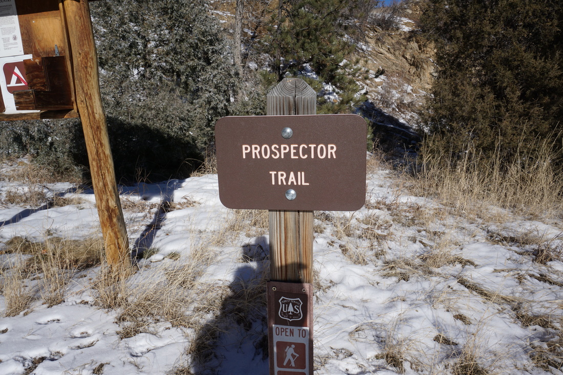
Directions:  From I-70 at Idaho Springs, exit the Mt. Evans exit and turn left onto 103 (Chicago Creek Rd).  Cross over I-70 and make your first right into the U.S. Forest Service Mount Evans Info Center.  The trail starts at the western point of the parking lot. 

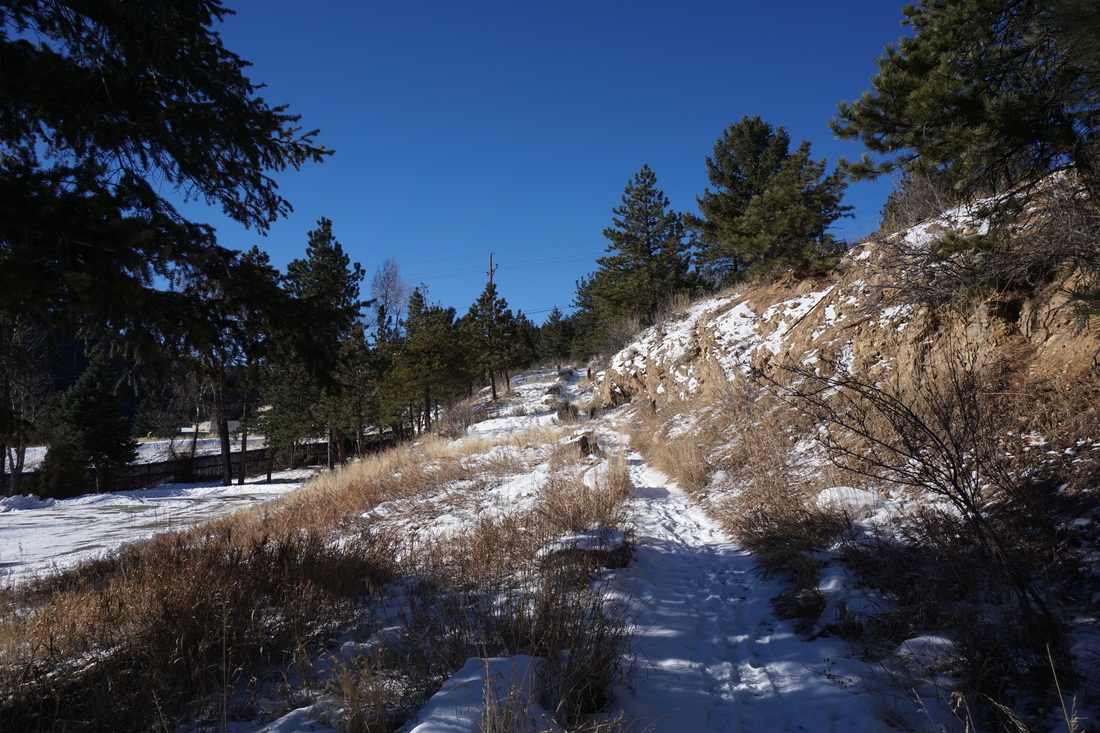
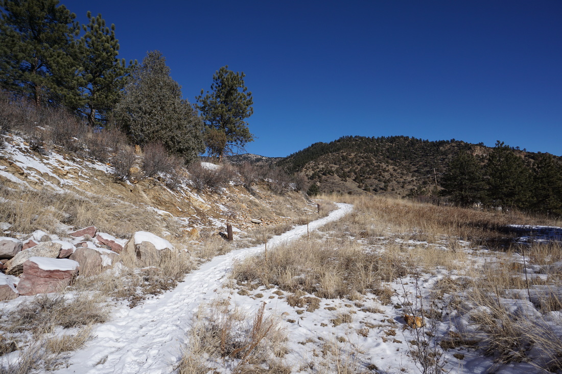
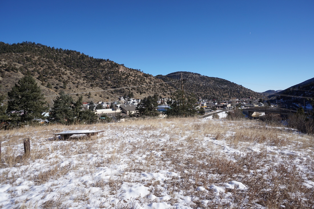
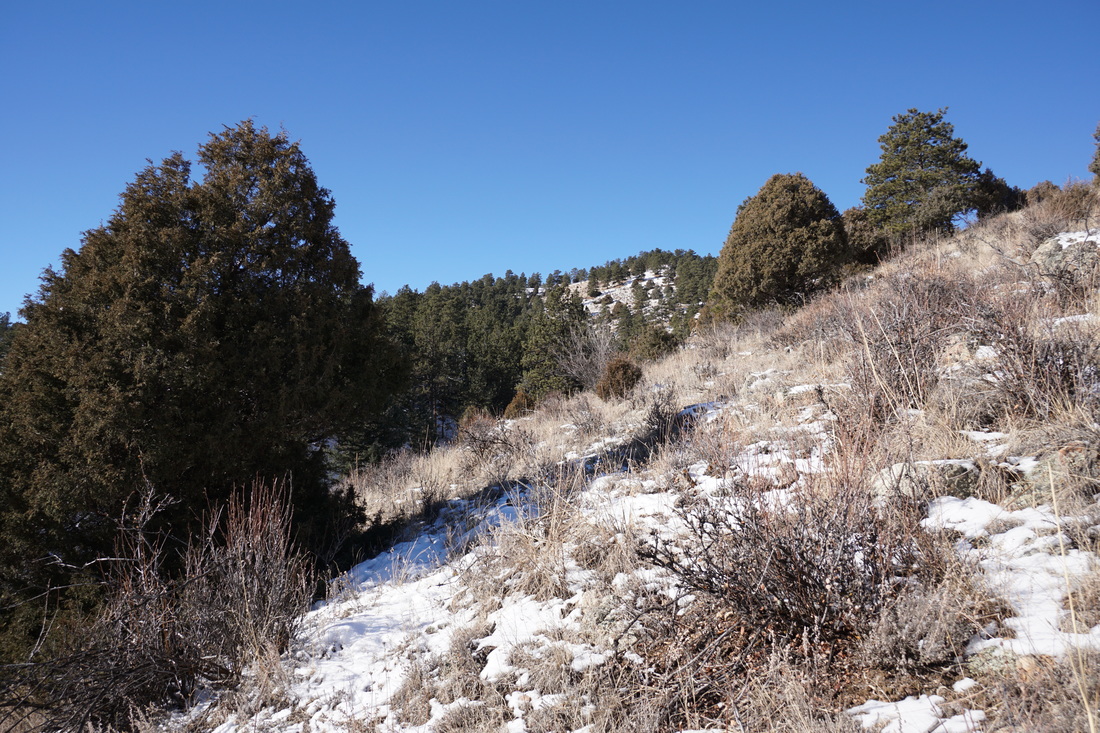
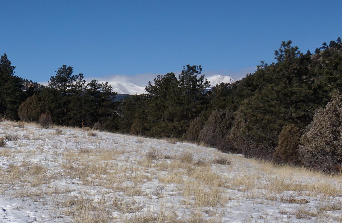
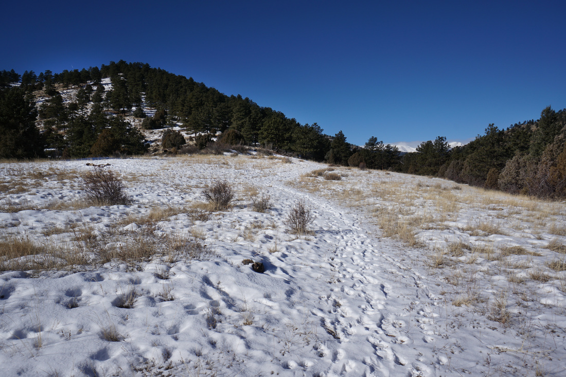
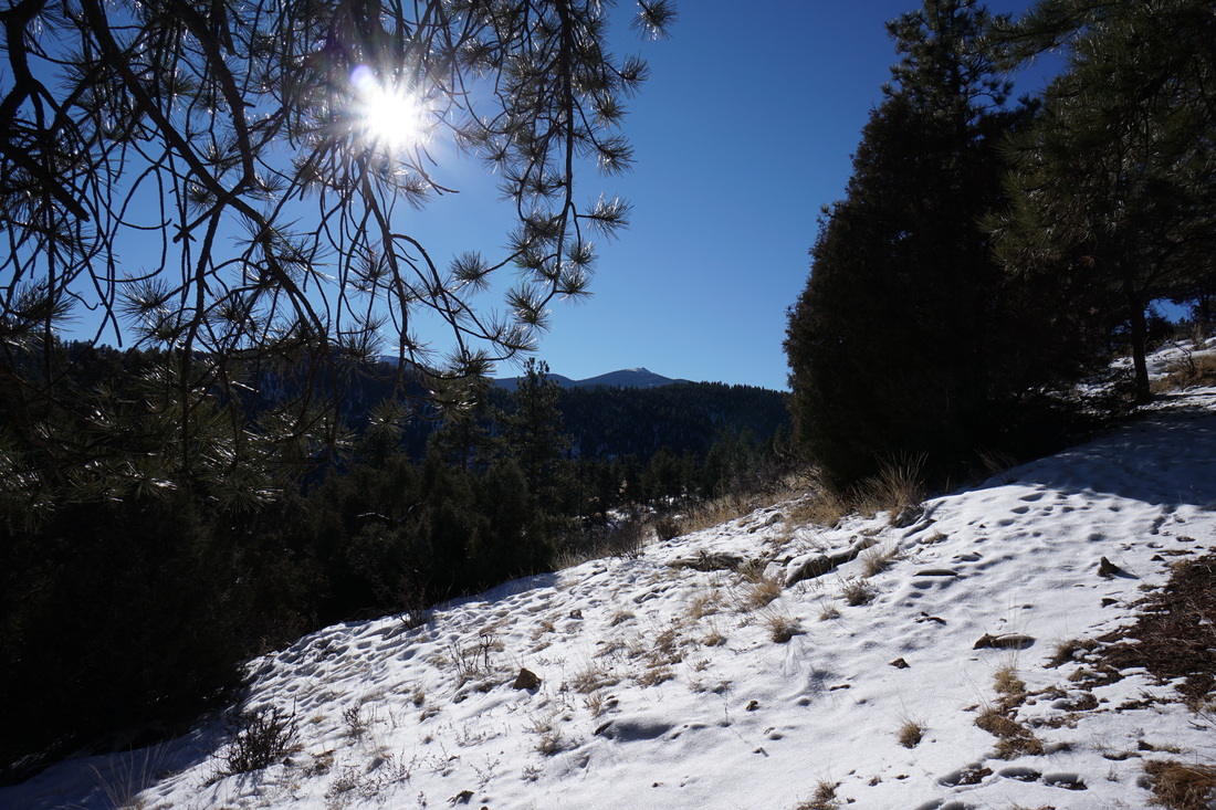
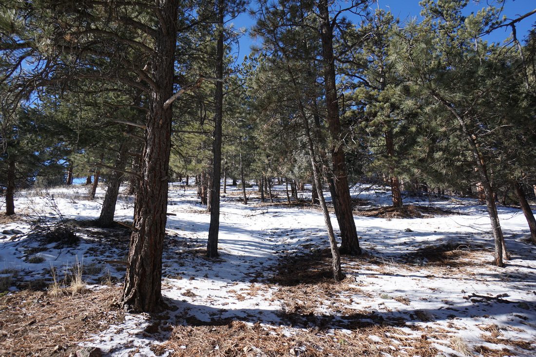
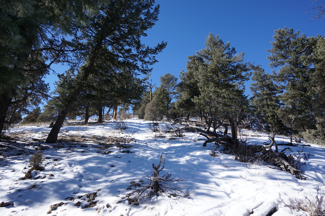
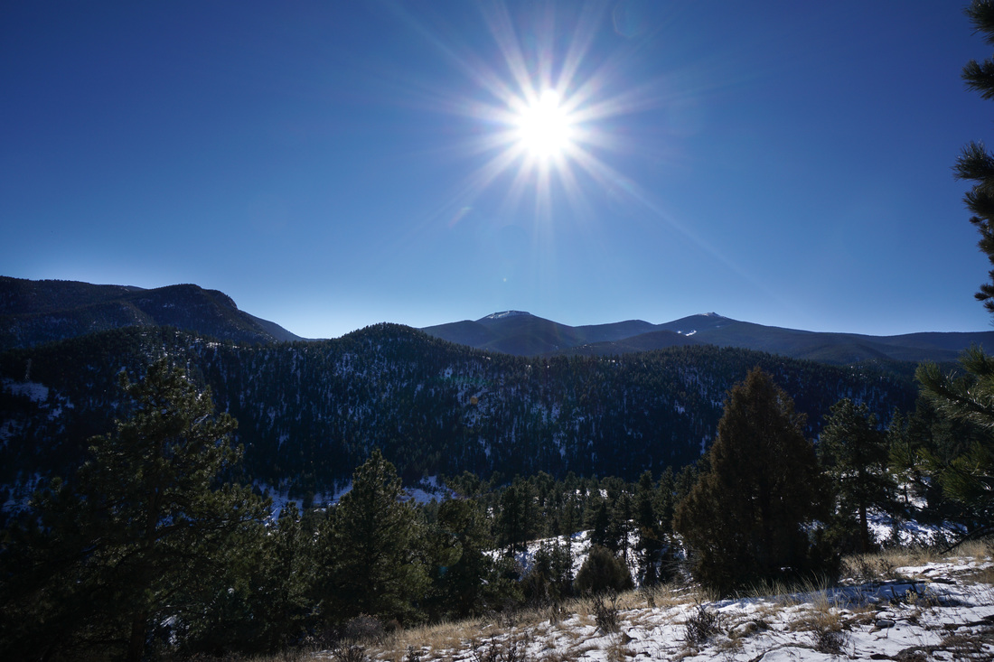
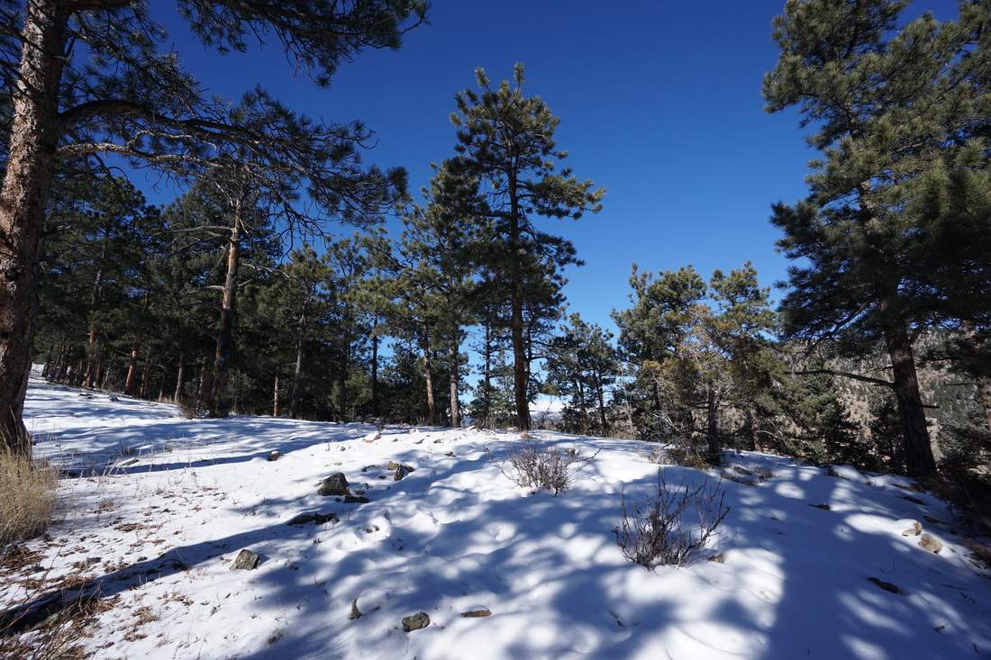
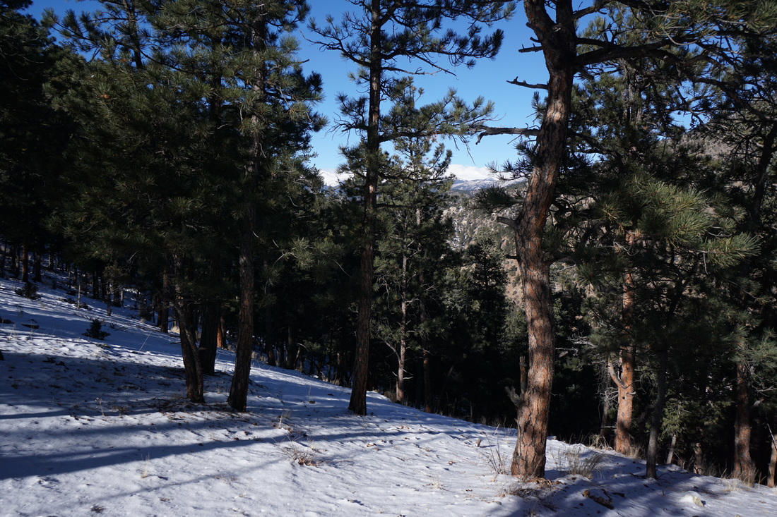
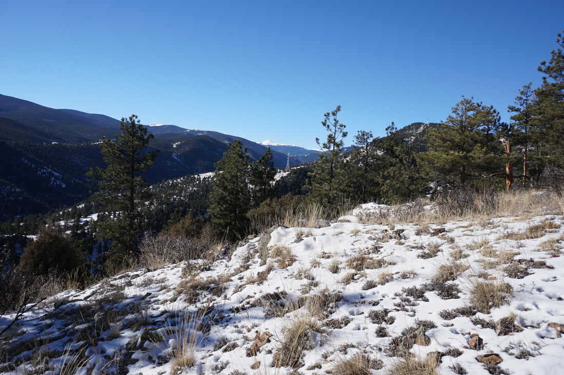
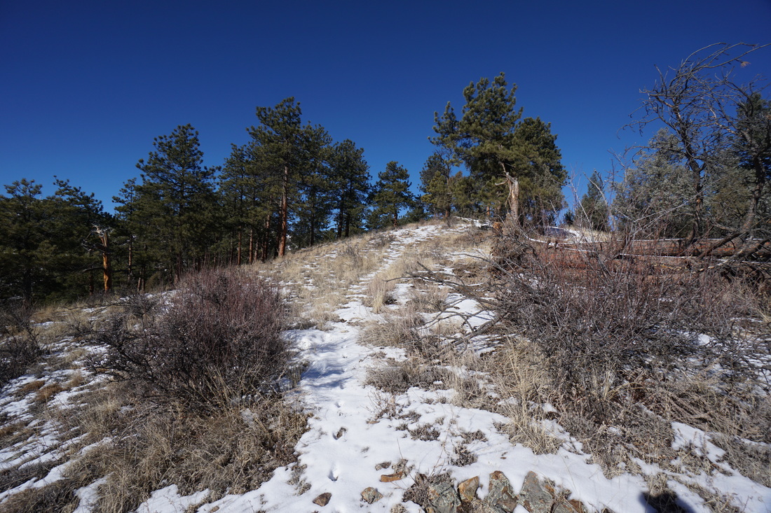
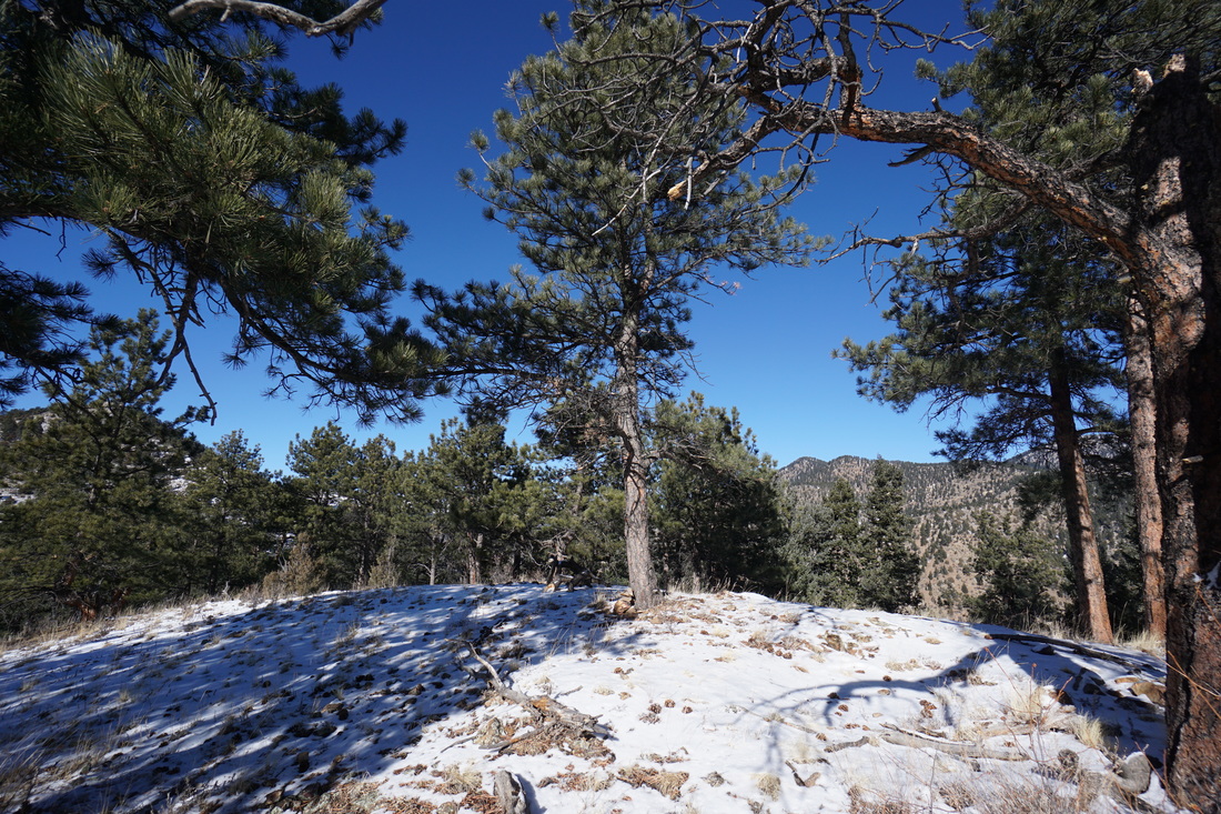
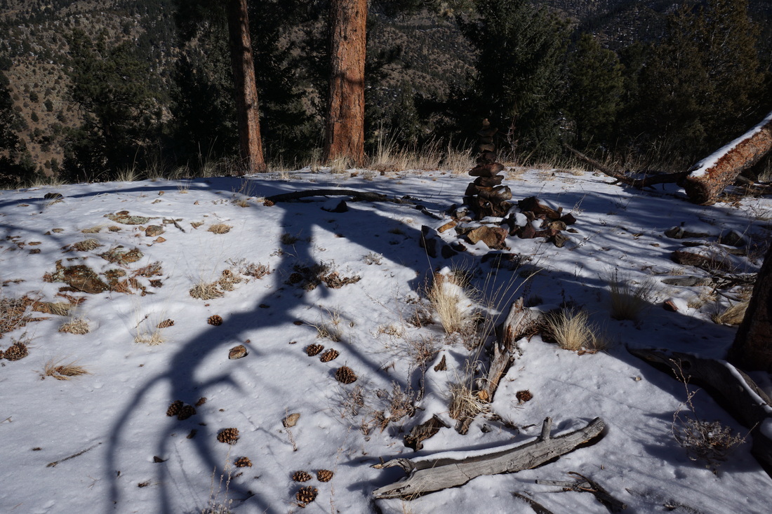
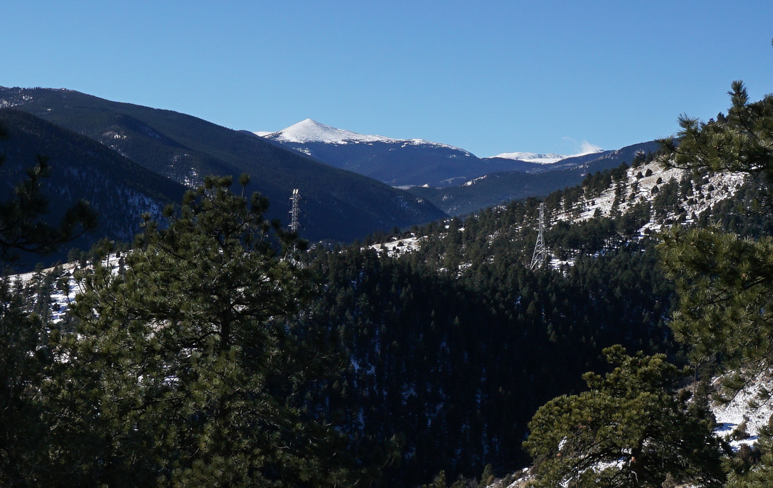
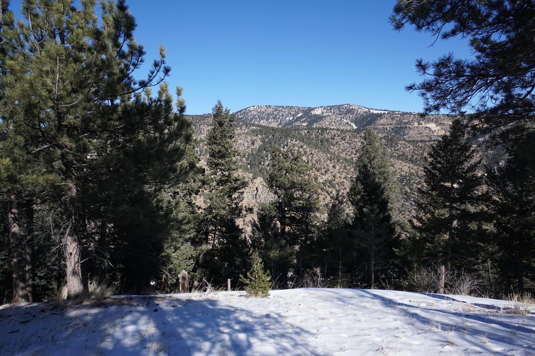
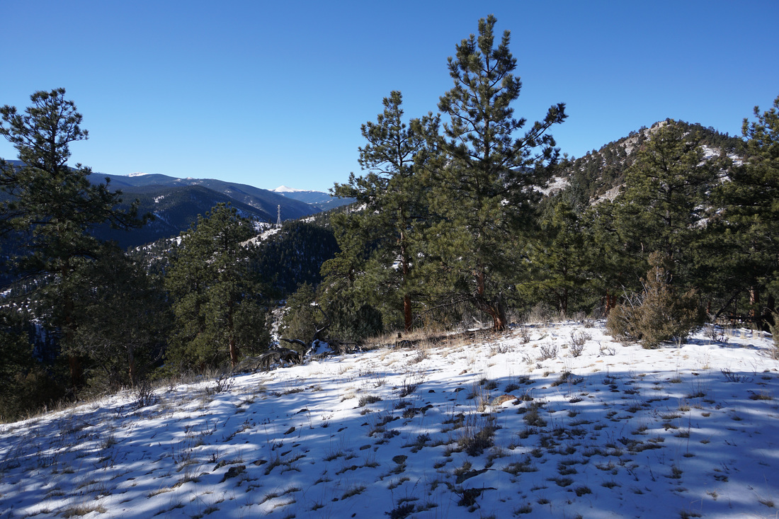
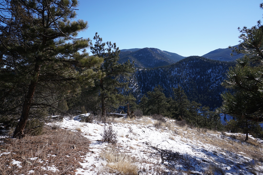
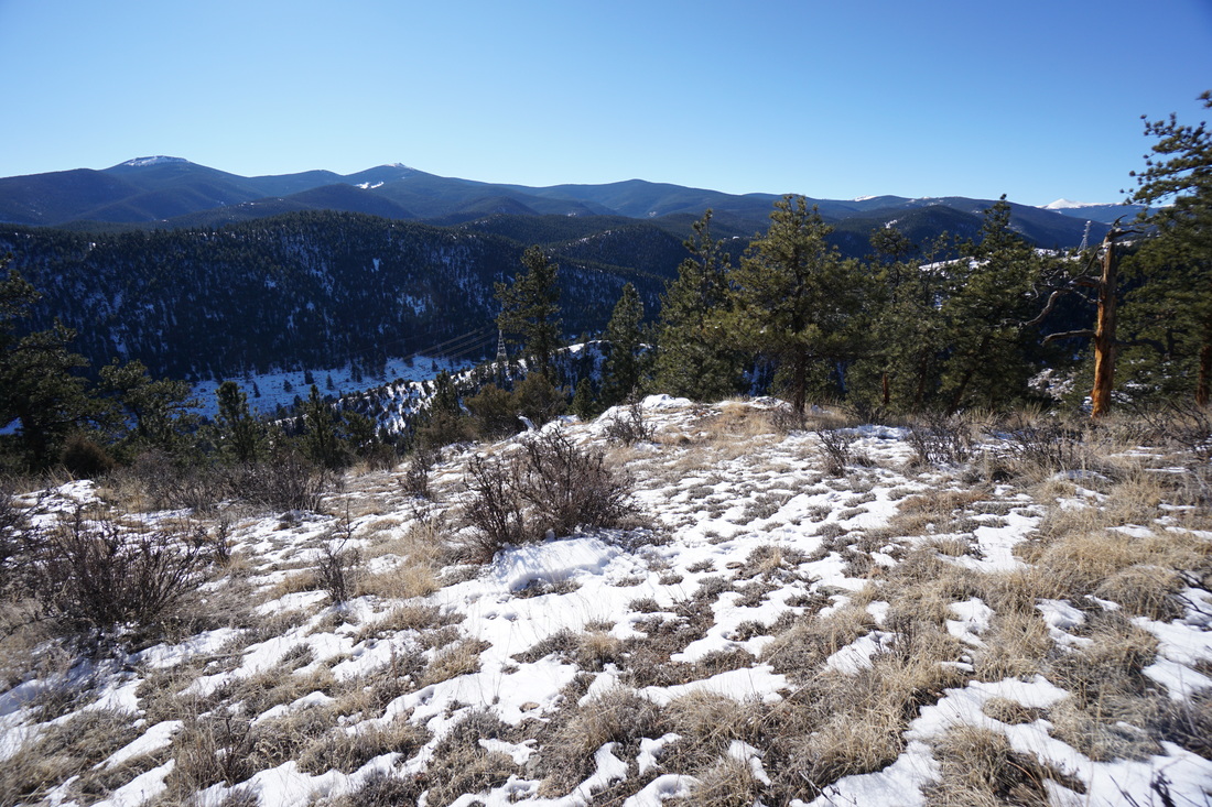
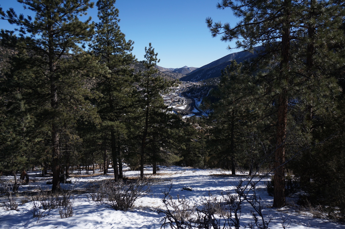
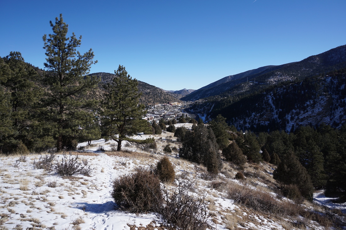
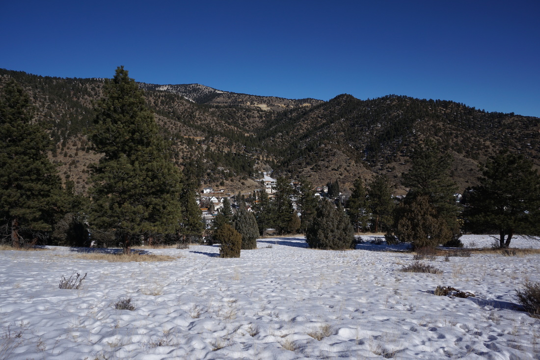
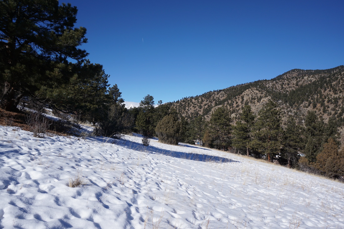
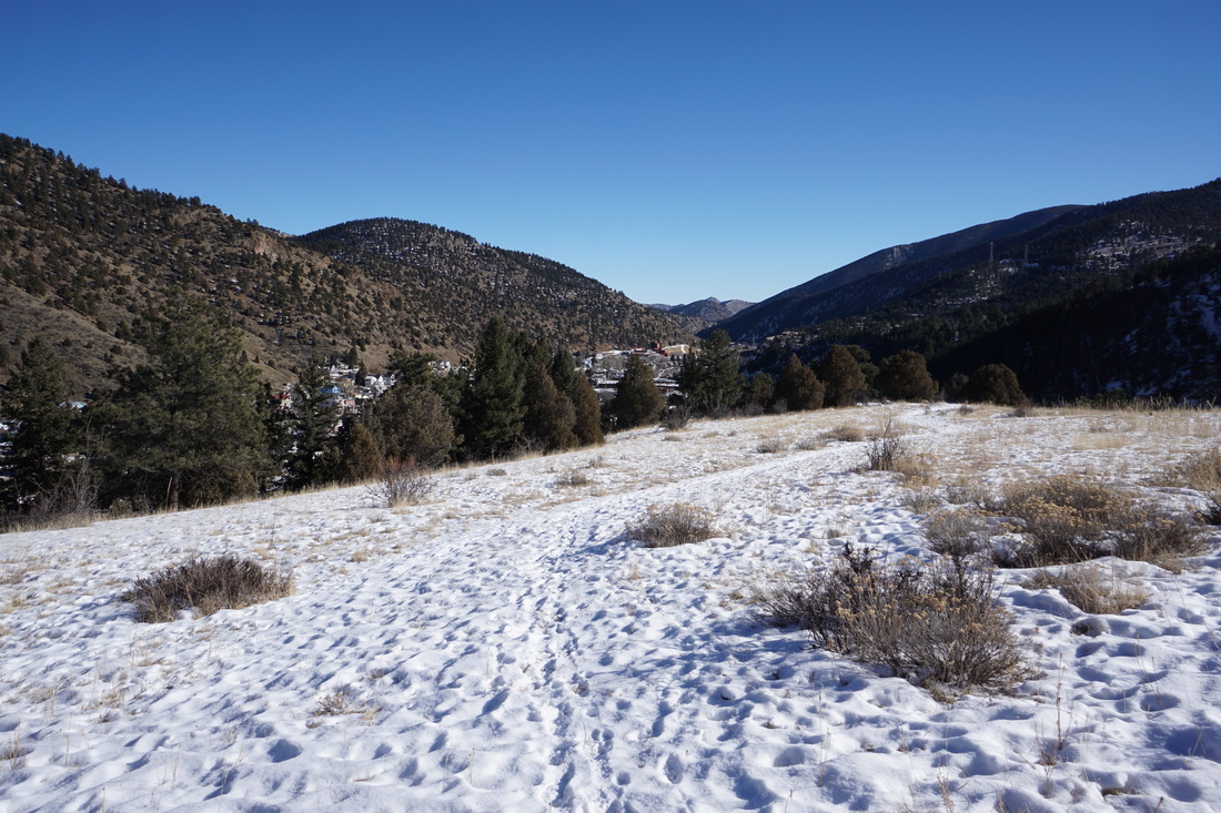
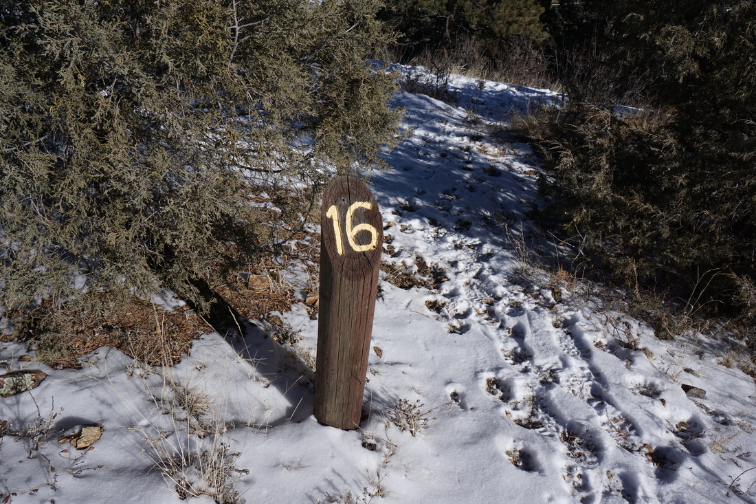
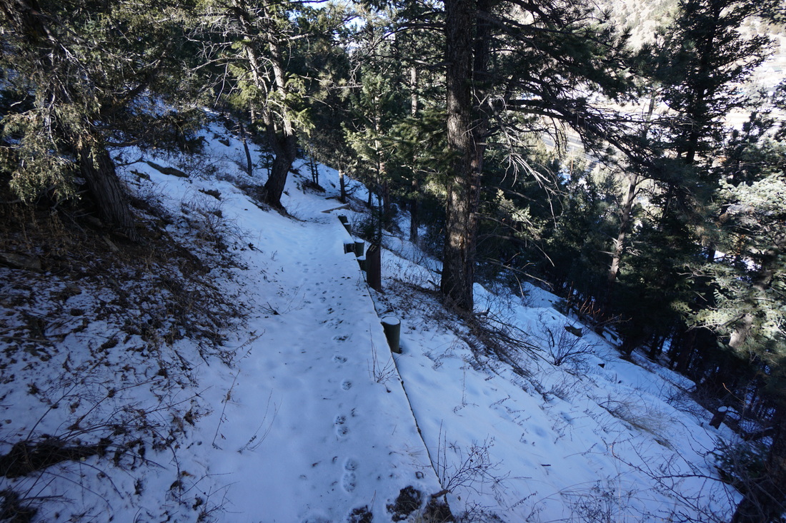
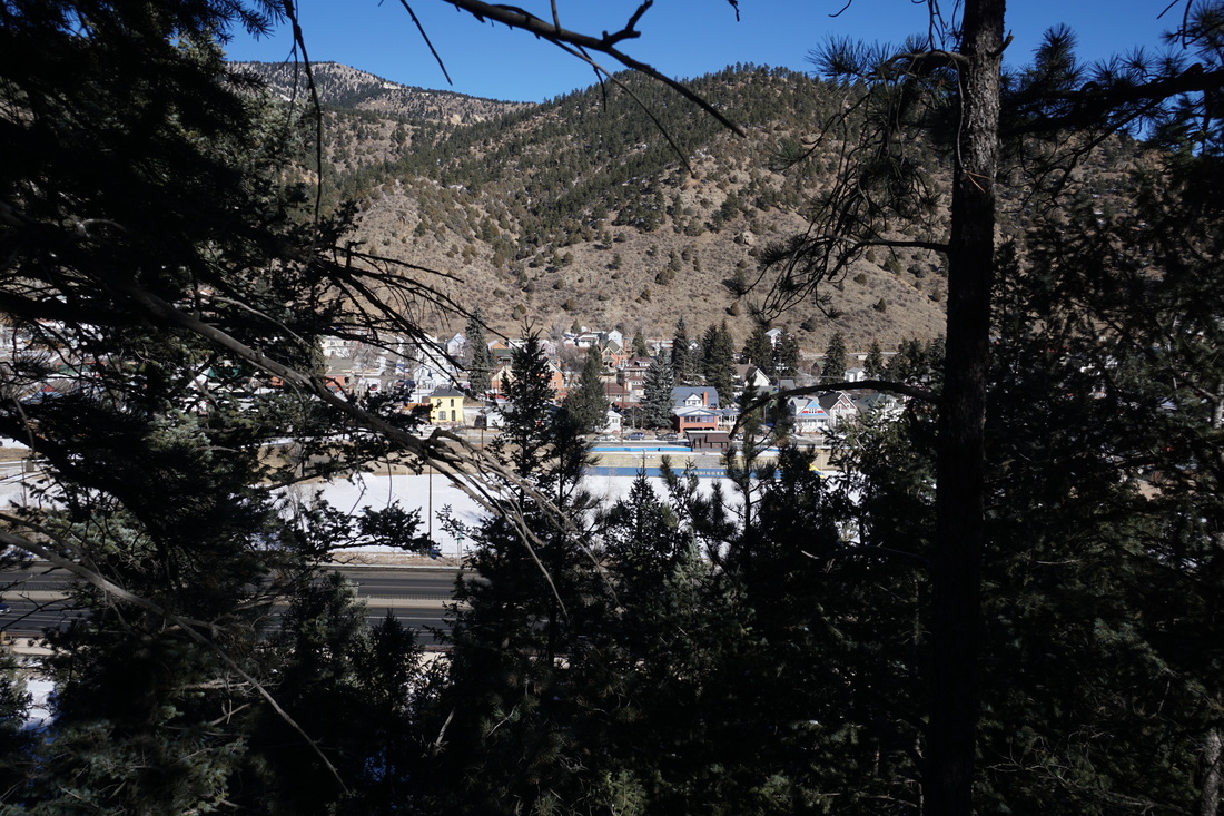
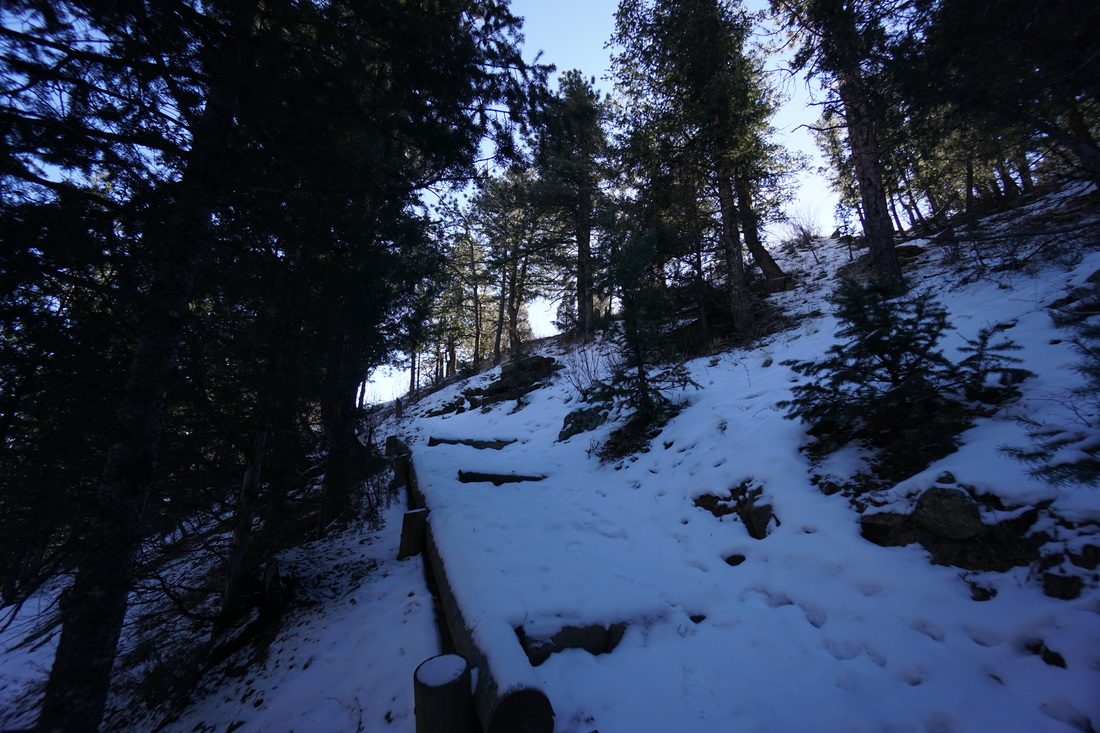
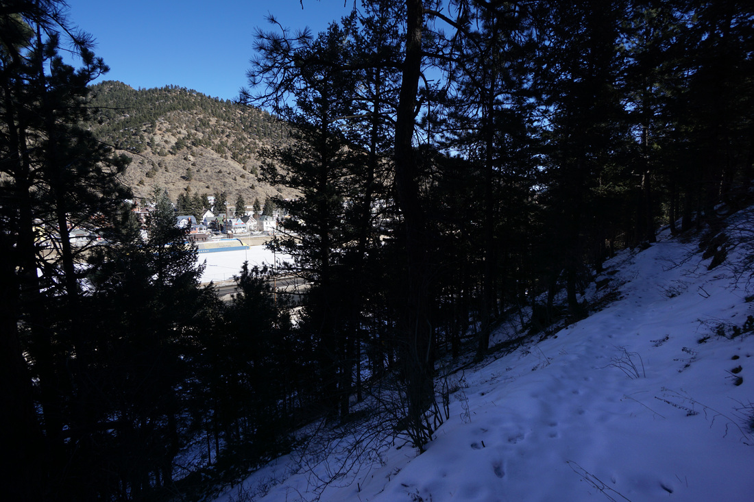
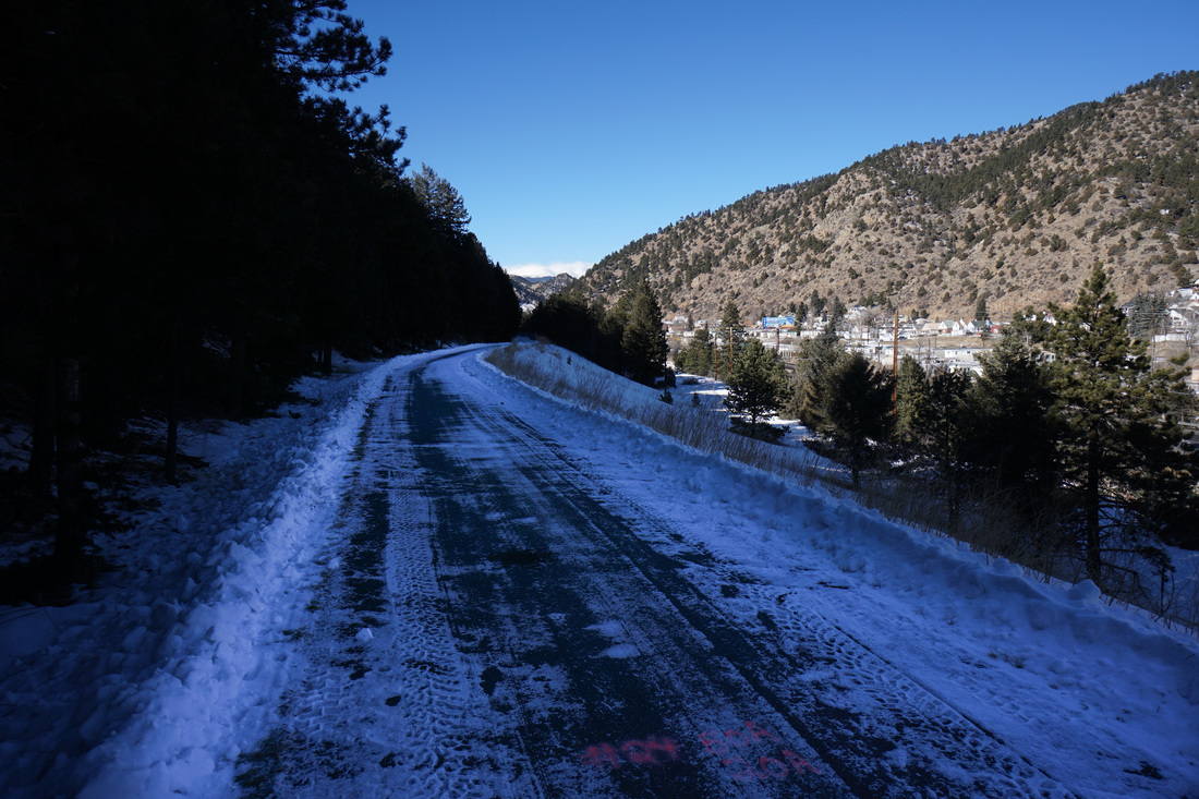
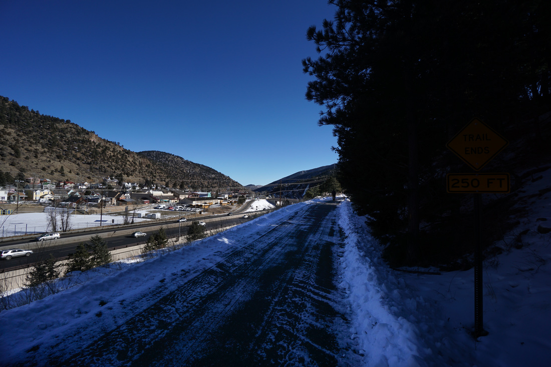
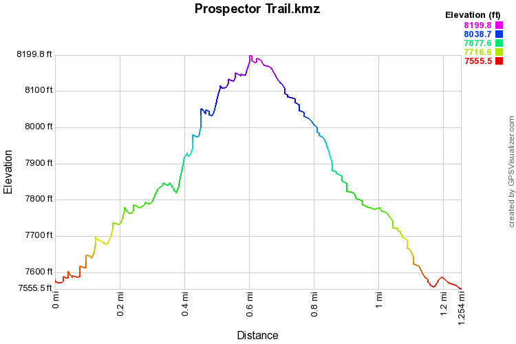
The Prospector Trail is a short (.3 mi (RT)) and easy self-guiding interpretive trail just across the Highway from Downtown Idaho Springs.  The paved Idaho Springs Trail allows you to access this hike from downtown.  The hike is noteworthy mainly for the nice view of Idaho Springs from the many overlooks along the trail.  However, if you want to make this hike really worthwhile, you can take the social trail up to an unnamed minor peak with a wonderful view of not only Idaho Springs, but the surrounding peaks as well.

From Interpretive Marker 16, turn left and follow the trail uphill.  In the winter the trail is evidenced by footprints in the thin snow, but it looks as if the trail is evident without snow as well.  A few minutes after starting on the social trail, you’ll enter a meadow and get a clear view of the small summit.  The hike is pretty straightforward, just follow the ridge uphill.  You’ll first reach a false summit but fear not, the true summit is only minutes away. 

The trail is steep, you’ll gain 600ft in about ½ mile, and the summit is forested, unfortunately blocking any real views of the Continental Divide Mountains.  However, the views back to the east and to the south are worthwhile.  To the south you get great views of Squaw Mountain, Chief Mountain, and Mt. Evans and Bierstadt just popping up…  The conical mountain to the west of Evans is Sugarloaf Peak and you can just make out Edwards Mountain to the west of Sugarloaf Peak. 

Return the way you came but this time finish the remaining Prospector Trail, then head into town for celebratory beer at Tommyknockers…gotta love Colorado…
© Go Hike Colorado, 2020.  All Rights Reserved. 
Use of photographs without prior authorization is
​strictly prohibited.


Contact us at:
[email protected]
Legal Disclaimer - Information provided on this site is based upon our own observations, always double check information with the appropriate land management agency before heading into the backcountry.  Backcountry travel is inherently dangerous, please take all proper precautions.  Go Hike Colorado is not responsible for injury or incident.