|
|
|
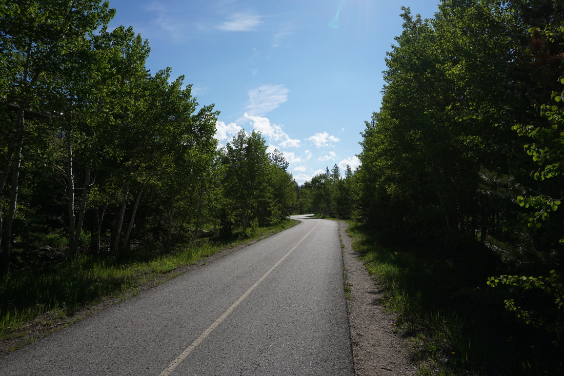
Directions: From I-70 exit at “Main Street Frisco” and head towards Frisco. Just before you enter Frisco there is a large parking area on the right. Park here and start at the trailhead for the bike Path.
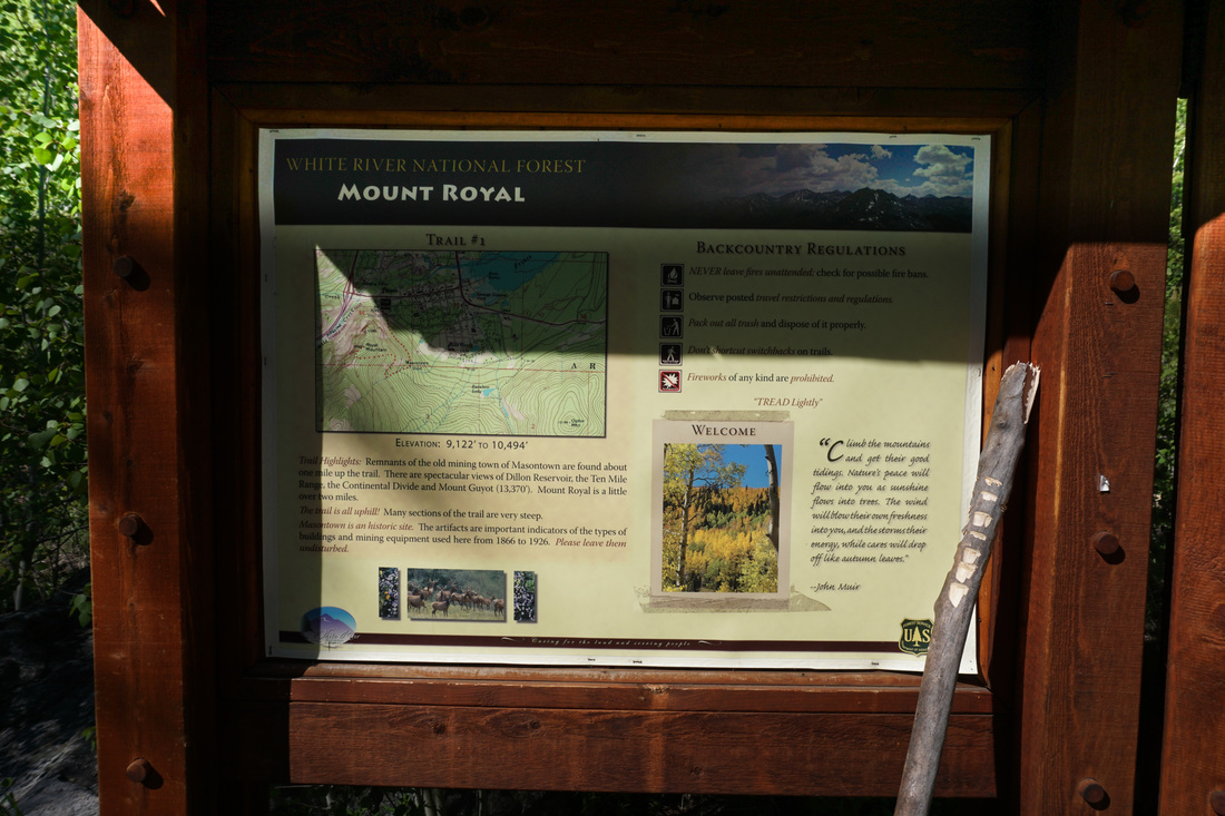
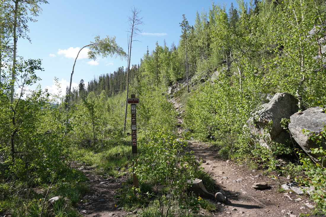
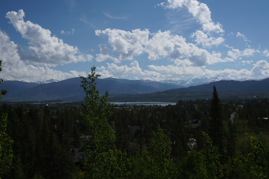
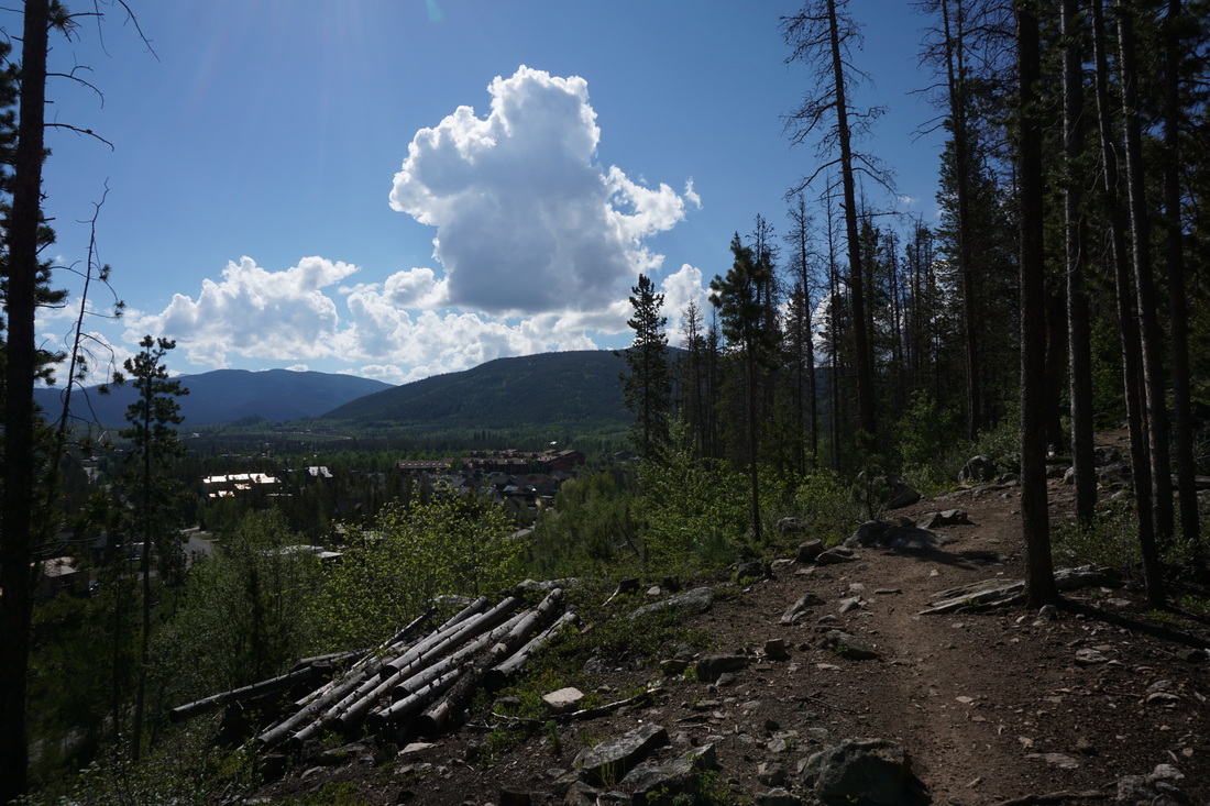
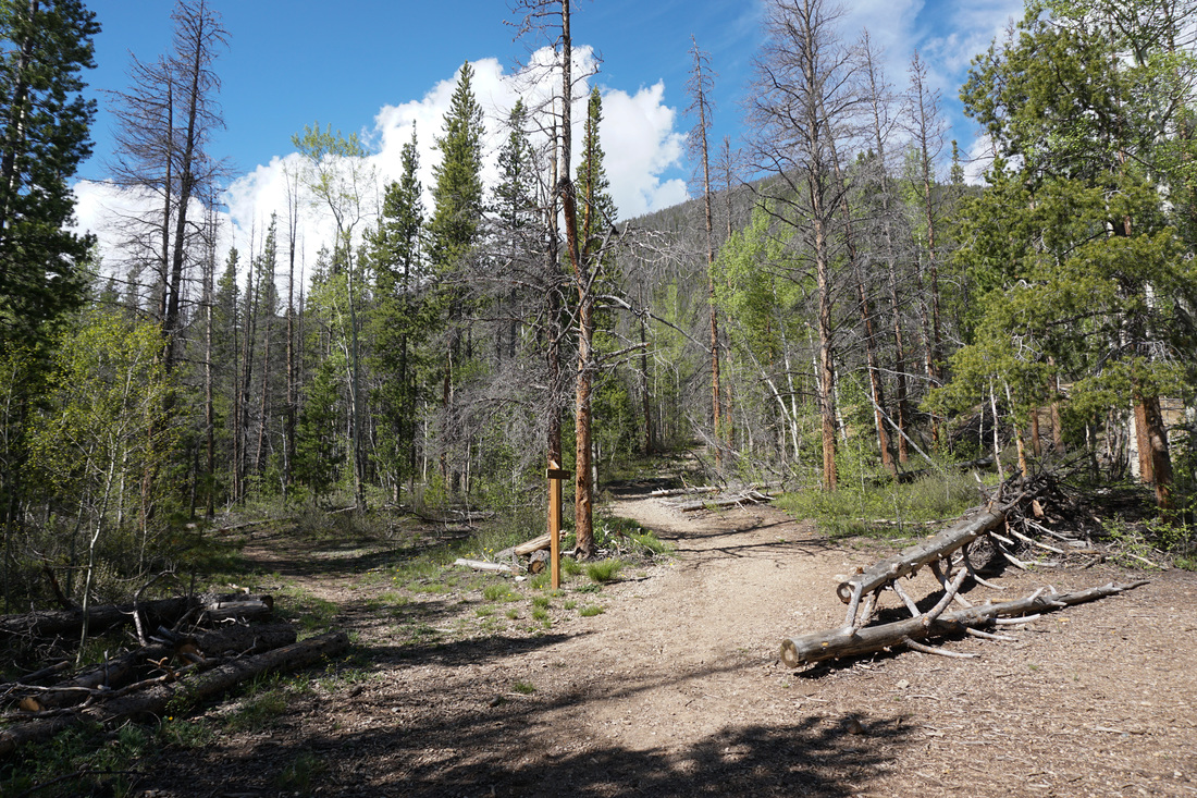
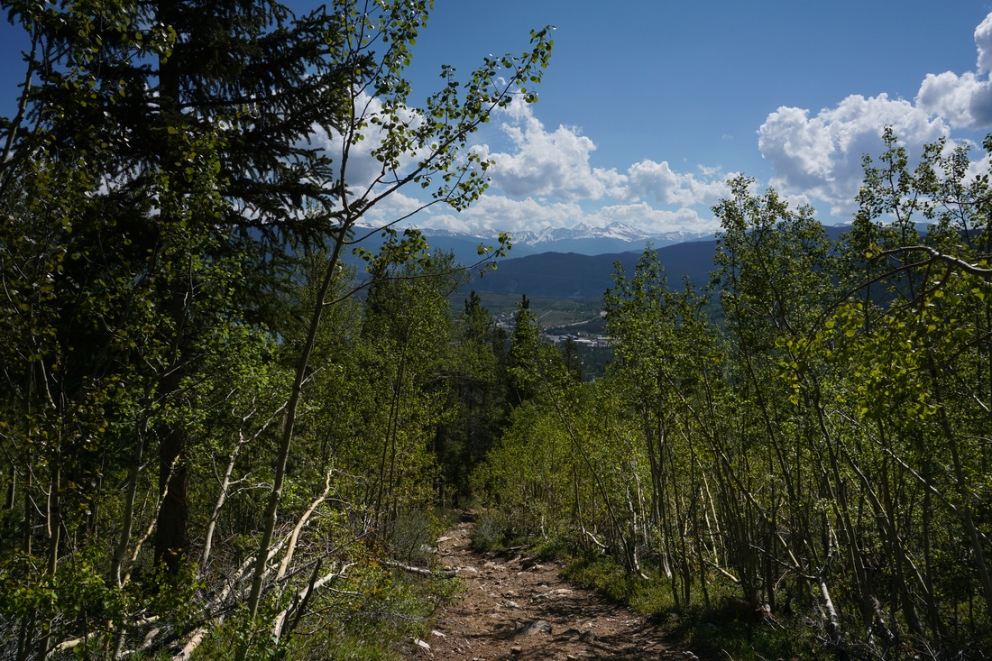
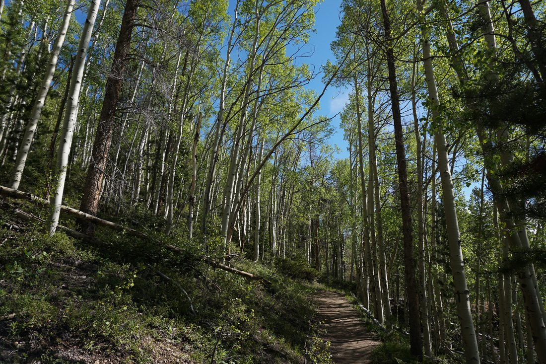
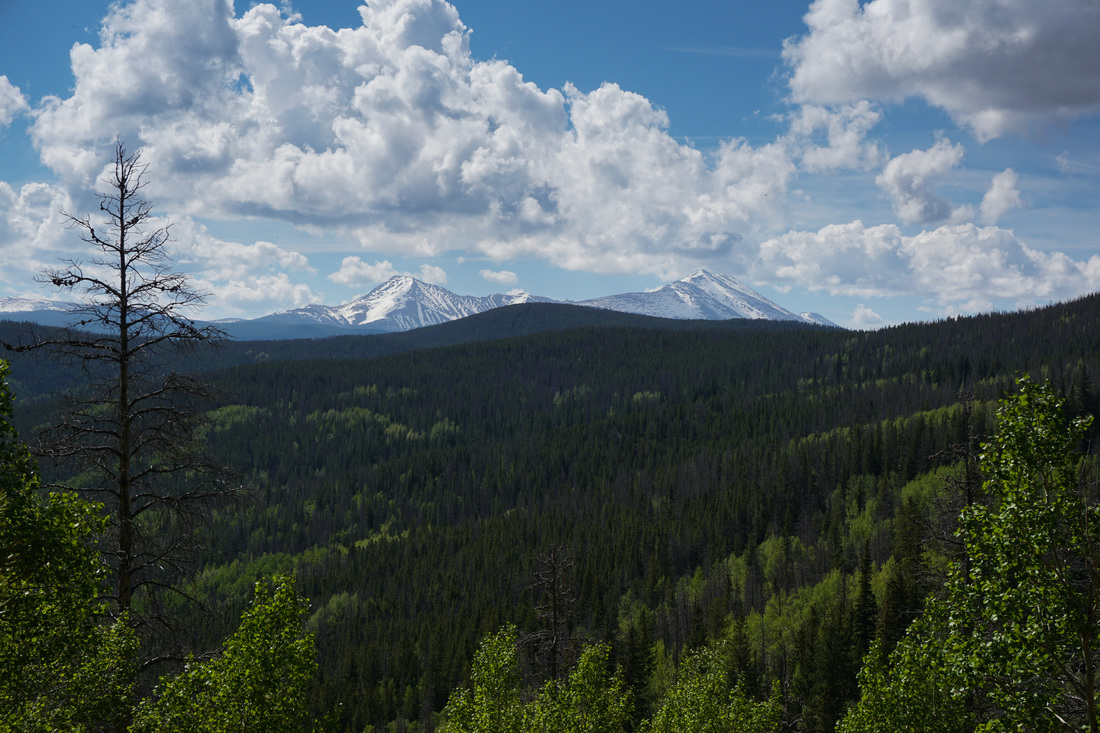
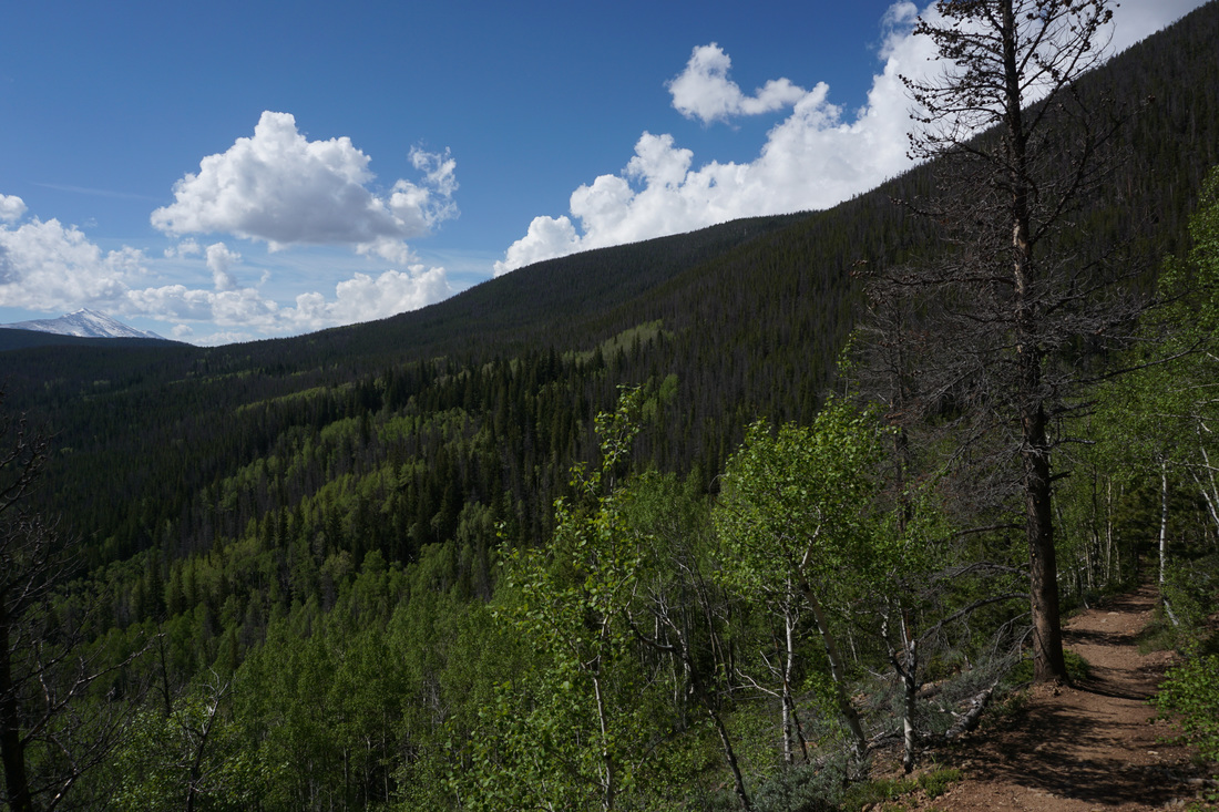
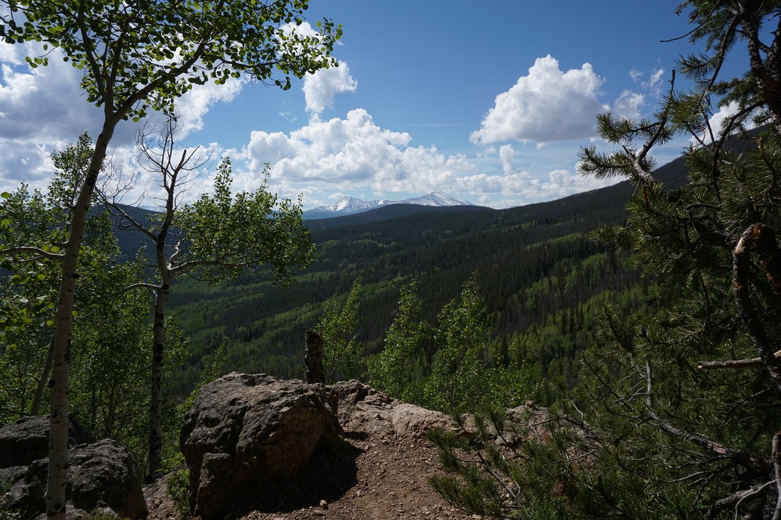
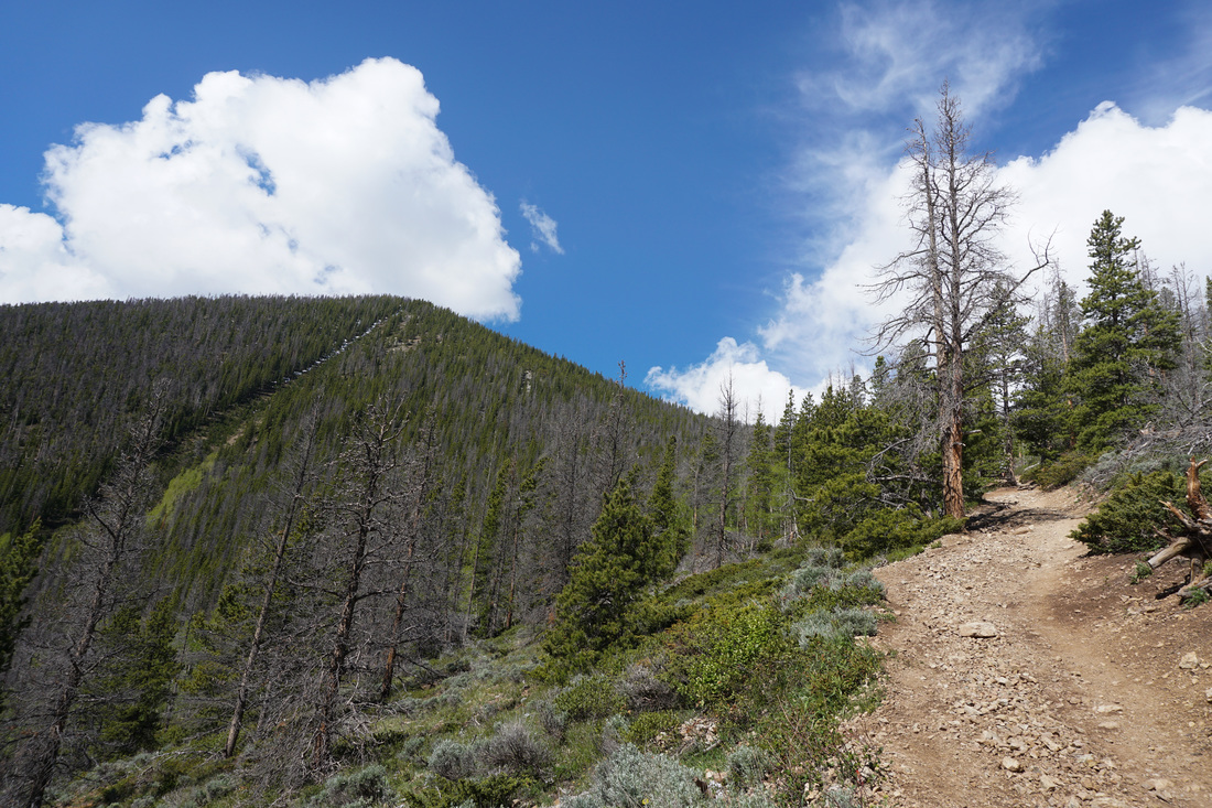
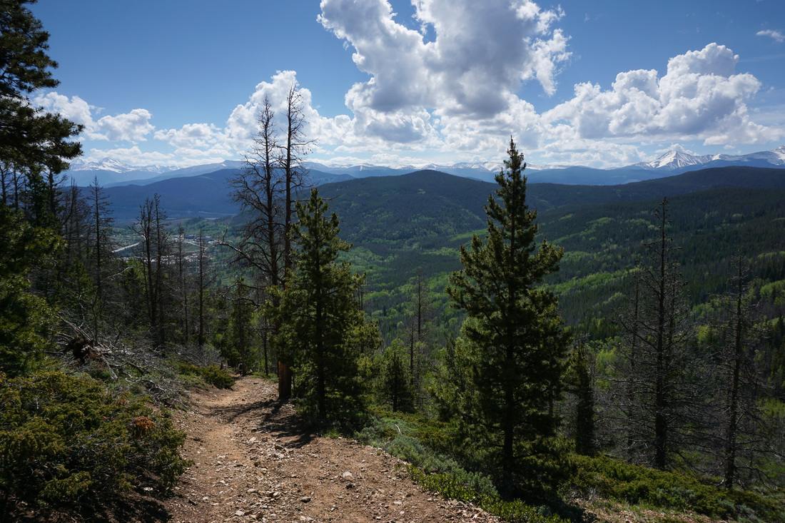
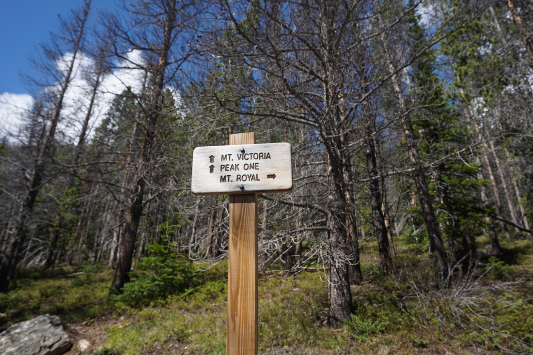
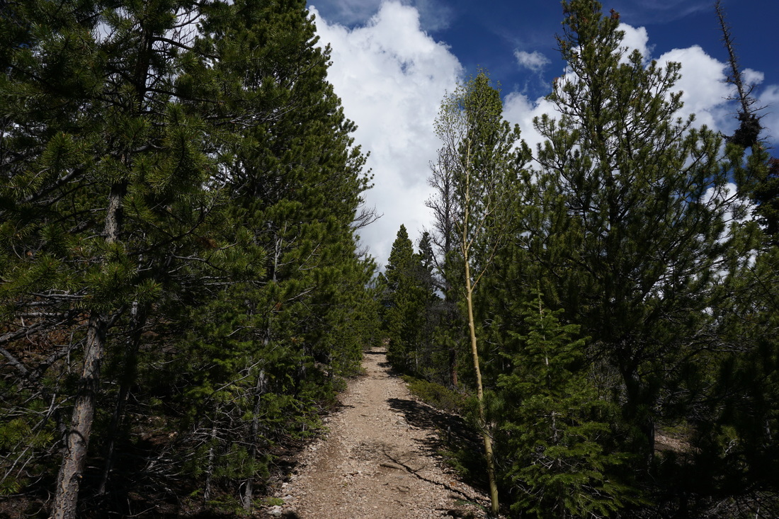
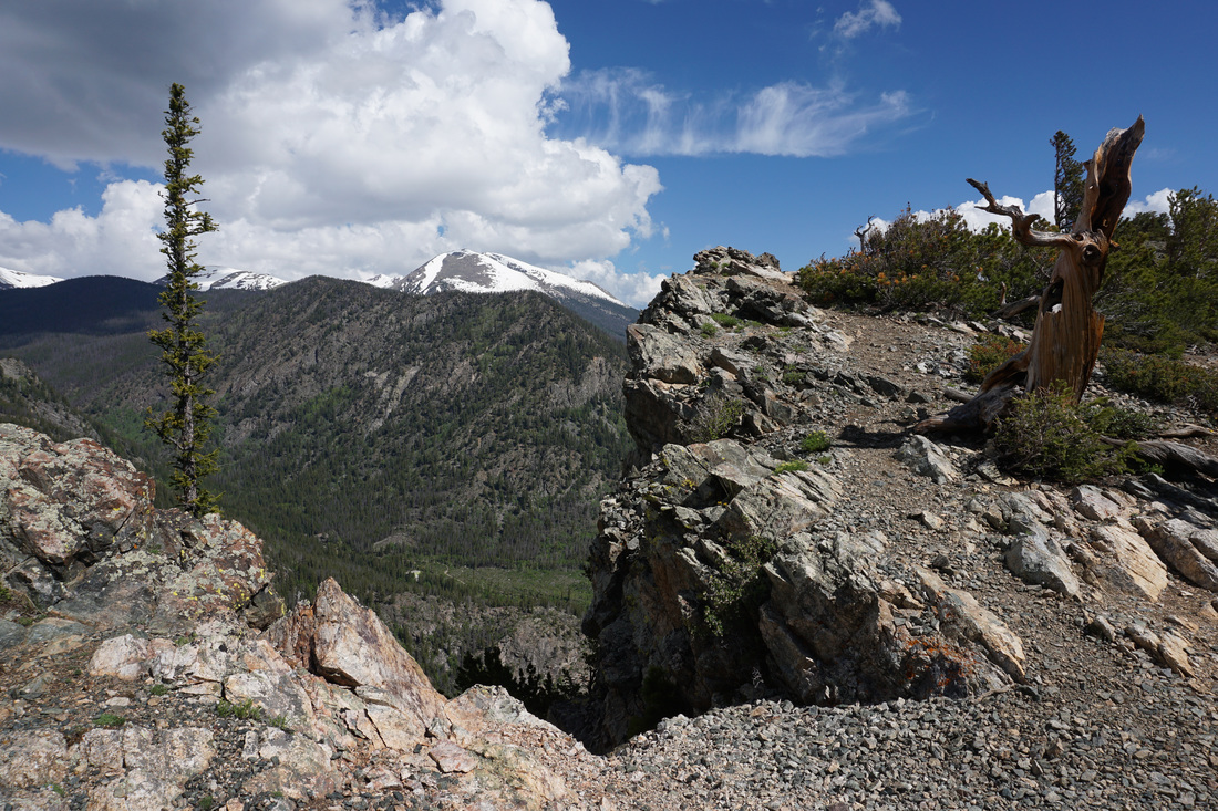
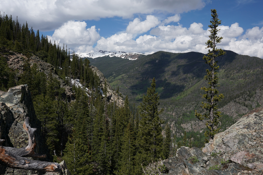
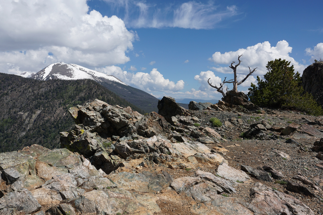
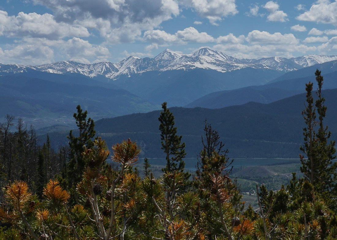
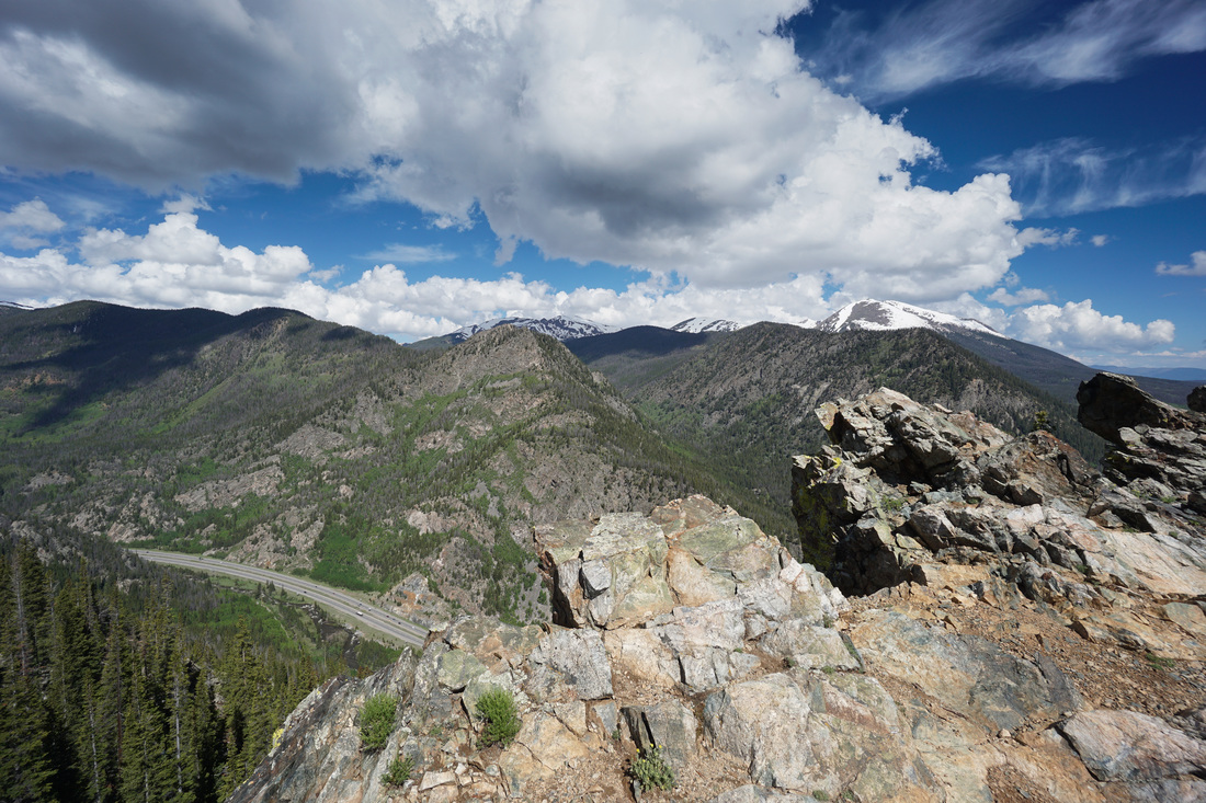
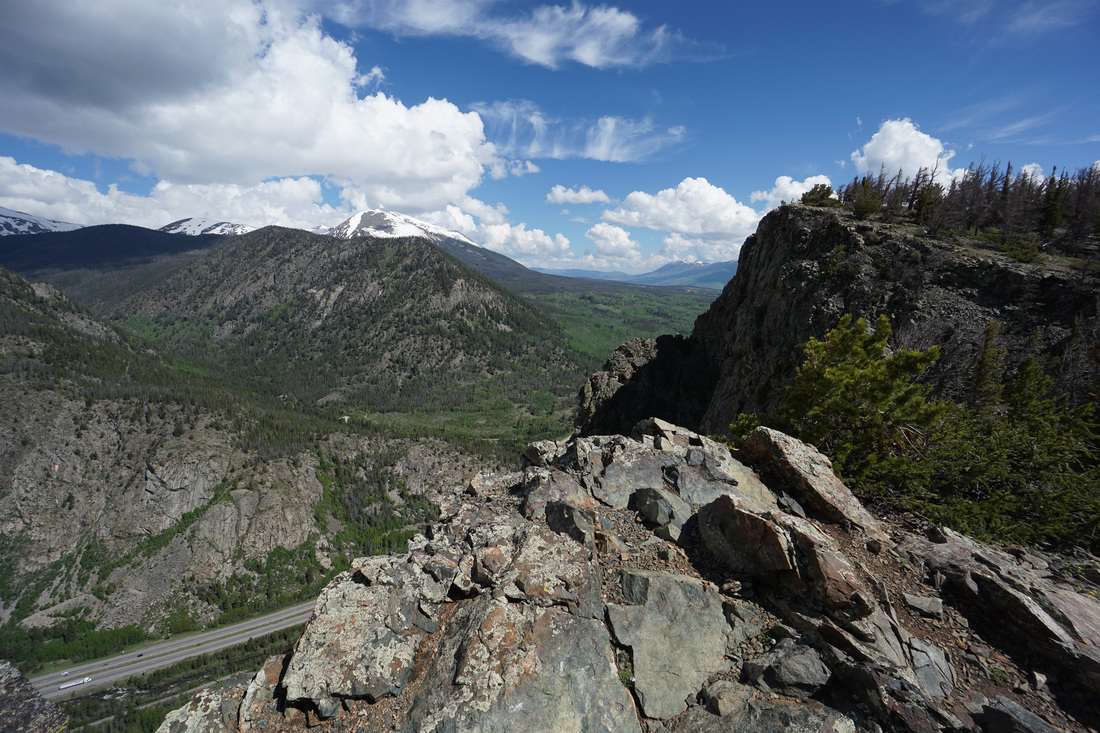
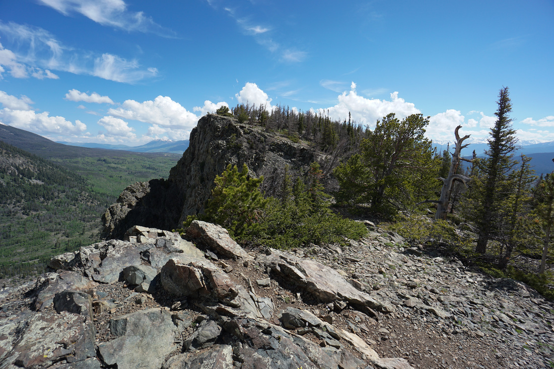
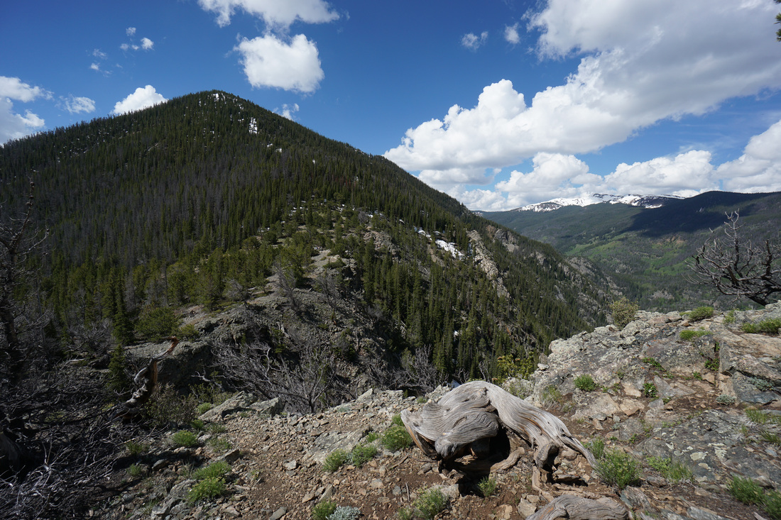
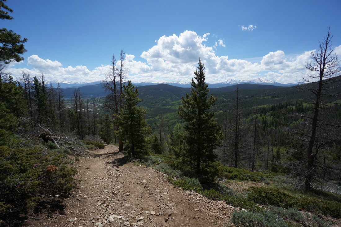
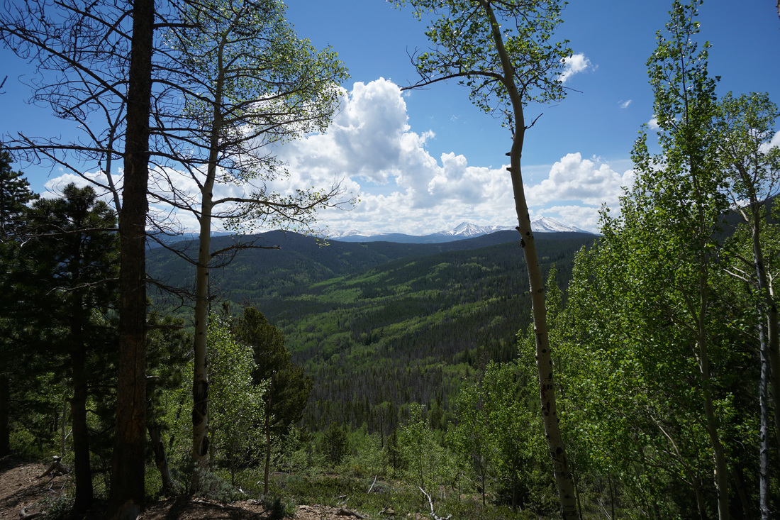
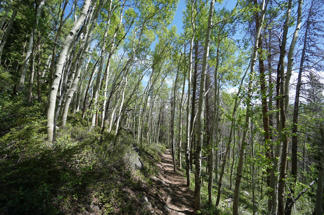
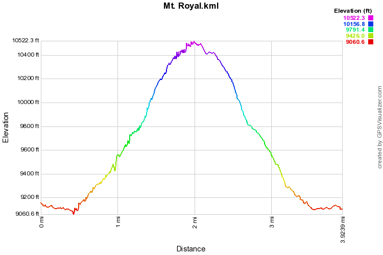
Mt. Royal is a very popular hiking trail, especially during the spring when the higher trails are still melting out. The popularity of the trail is well founded as the views from the trail, especially from the top is magnificent. Start out by crossing the bridge, turn left and follow the paved bike path for just a few minutes to the Mount Royal Trailhead. From the trail kiosk, bear right and follow the narrow trail uphill into the Aspen forest. The views are almost immediate looking south over Frisco, Dillon Reservoir, and the Continental Divide and Grays and Torreys Peaks, both 14ers. Continue up through the evergreen and aspen forest until you reach the remains of Masontown at about the 1 mile mark. This area contains various remnants of structures and rusty metal mining equipment. As you follow the trail signs for Mount Royal (always head uphill if you are confused), the trail gets steeper…MUCH steeper. There are some sections of this trail that are very steep and it will surely slow your progress. When you finish the first steep section, the trail rewards you with wonderful views to the south of Mount Guyot and Bald Mountain. The next portion of the trail heads north along the side of the mountain at a gentler grade. As you turn the corner however, the steepness returns and it is a tough slog up to the trail split. There is a trail sign at the split and turn left for Mt. Victoria or right for Mount Royal. One more push will bring you to the Saddle and the large rock cairn. The views from the saddle are terrific and remain so as you explore the ridge. The view looks north to Buffalo Mountain and Gore Range beyond and look down on I-70 as it enters Tenmile Canyon. The actual summit of Mount Royal is to the right along the ridge at 10,502 feet. There are two trails here; one a bit under the ledge and a trail following close to the ledge. Both trails go to the same spot. Work your way along the ledge until you reach another large rock cairn and the summit of Mt. Royal. The views from the way up to the summit are actually better than the views at the summit so take your time exploring before you summit. From the summit you can continue down to the “lower summit” which overlooks Dillon Reservoir, or you can head back to the saddle and down the steep trail back to the bike path. The views on the way down are just a good as on the ascent...but this time your brain will have enough oxygen to enjoy them... |
|