|
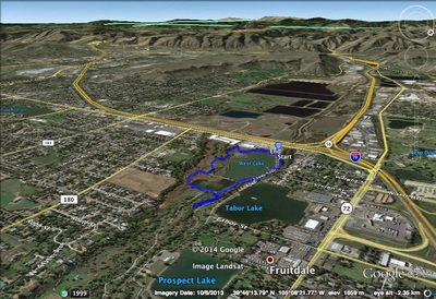
DIRECTIONS: The Youngsfield Trailhead of the Wheat Ridge Greenbelt is the starting place for this hike. To get there, take the Youngsfield Street exit off of I-70 and head north on Youngsfield. Just before the street curves east, you'll see the Trailhead and parking area on the right.
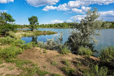
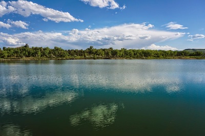
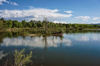
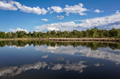
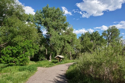
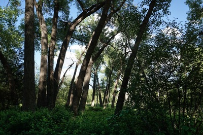
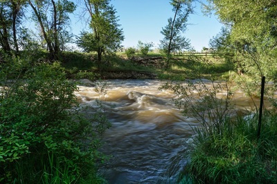
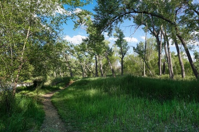
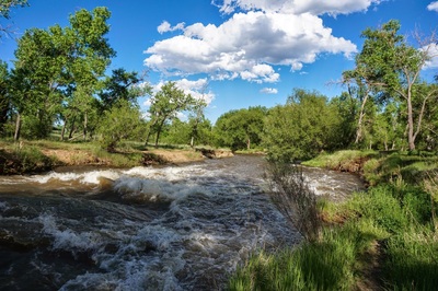
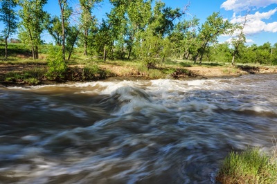
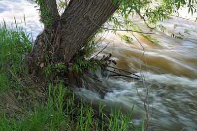
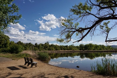
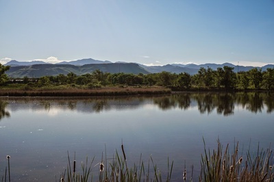
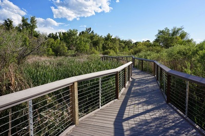
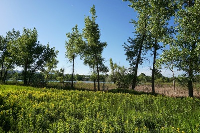
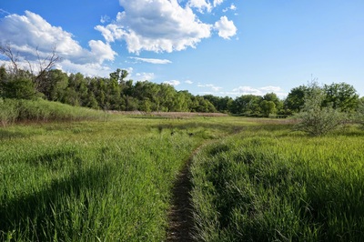
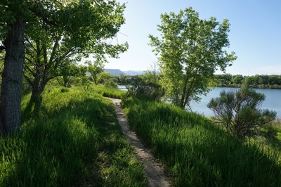
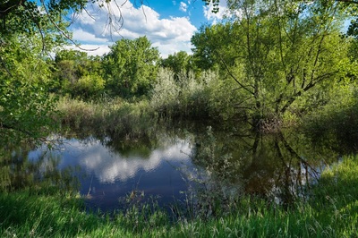
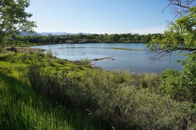
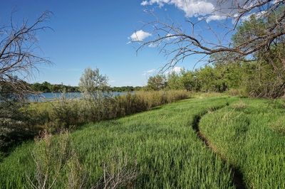
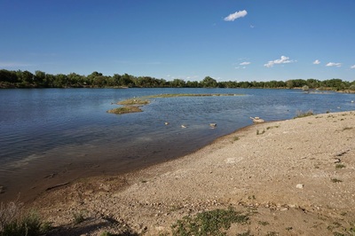
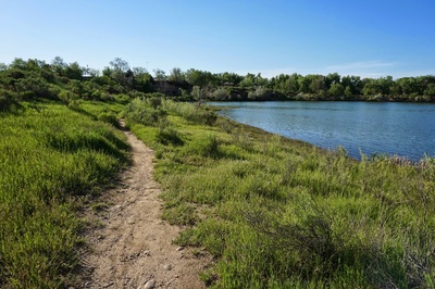
This short, easy stroll has more to offer than you might think. West Lake and neighboring Bass Lake provide a very natural open space setting consisting of creek-side trails (Clear Creek), wetlands complete with a nature boardwalk, copious amounts of birds and small mammals, and beautiful fall colors. From the trailhead, head east on the Clear Creek National Recreation Trail, with is contained within the Wheat Ridge Greenbelt. This paved trail will take you along the north shore of West Lake. When you reach the bridge crossing over Clear Creek, stay straight onto the dirt trail. There is a wonderful side trail here that will take you down to the shores of Clear Creek and through a cottonwood forest (look for the covered picnic table). The main trail follows the north shore of Bass lake around to the east and to the boardwalk that leads along the south shore of Bass Lake. Once off the the board walk the trail will curve around to the west side of Bass Lake. Look to the left here for the faint trail leading off of the main trail. This faint trail will take you along the south shore of West Lake. The trail may be faint, but this area is beautiful and quiet. There are various trails here and you have a choose your own adventure type of hike along the south shore. Bear right at each intersection to stay close to the lake or head left to walk through the woods and wetlands. Whichever way you chose, you end up at the lake shore and the trail leading back to the trailhead. |
- HOME
- ABOUT
-
HIKES BY REGION
-
NATIONAL PARK HIKES
- BENT'S OLD FORT NATIONAL HISTORIC SITE
- BLACK CANYON OF THE GUNNISON NATIONAL PARK
- COLORADO NATIONAL MONUMENT
- CURECANTI NATIONAL RECREATION AREA
- DINOSAUR NATIONAL MONUMENT
- FLORISSANT FOSSIL BEDS NATIONAL MONUMENT
- MESA VERDE NATIONAL PARK
- ROCKY MOUNTAIN NATIONAL PARK
- GREAT SAND DUNES NATIONAL PARK
- HOVENWEEP NATIONAL MONUMENT
- SAND CREEK MASSACRE NATIONAL HISTORIC SITE
- YUCCA HOUSE NATIONAL MONUMENT
- HIKES BY CATEGORY
- NEWS
- WEBCAMS
- $UPPORT GHC
- INTERACTIVE MAP
West & Bass Lakes
Wheat Ridge Greenbelt
Date Hiked: May 28, 2014
Distance: 1.5 mi (RT)
Elevation Gain: 100ft
Elevation Start: 5,492ft
Managing Agency: Wheat Ridge Parks & Recreation
Fee: None

