|
Directions: From Denver take I-70 W to the Bakerville Exit. Head South under the highway to the dirt parking area. In the winter, the road is closed from here. When the road is open, follow it for 3 mi to the summer trailhead and campground. This is a rough road and it highly recommended that you only drive it if you have a high clearance vehicle.
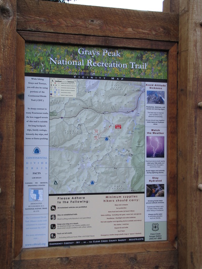
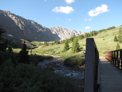
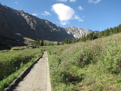
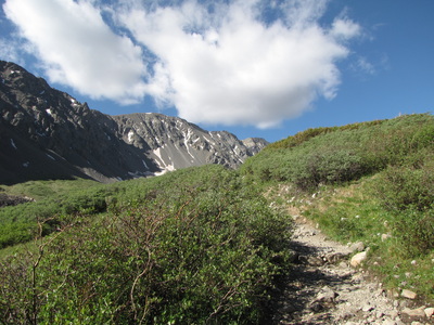
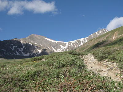
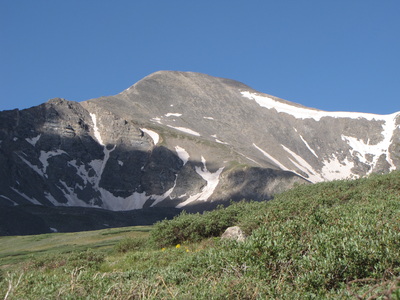
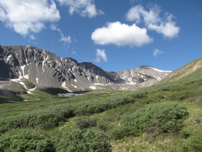
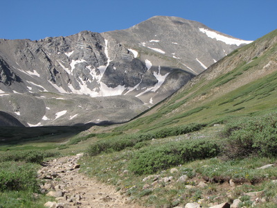
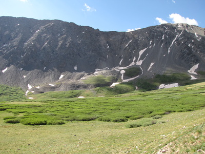
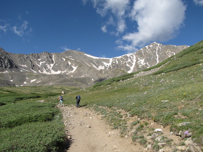
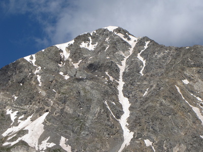
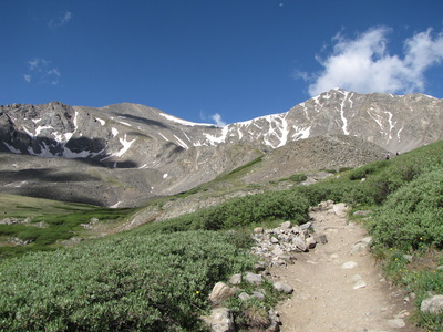
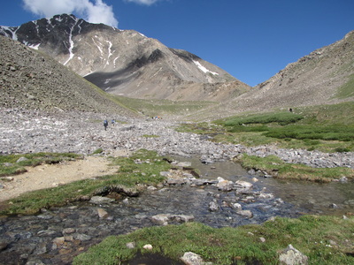
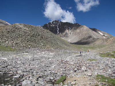
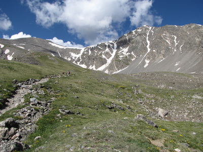
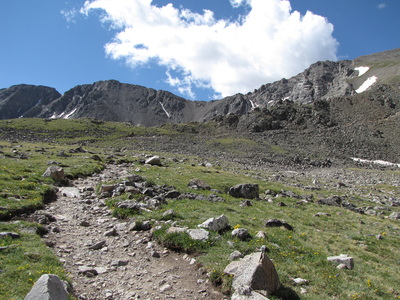
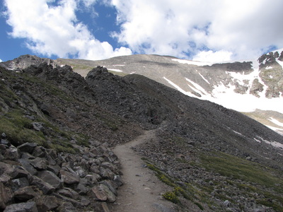
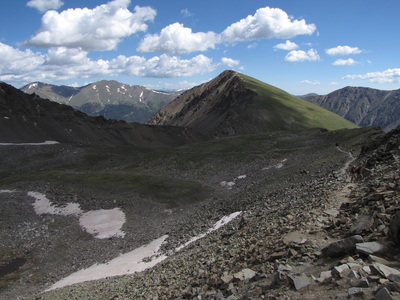
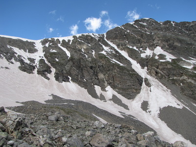
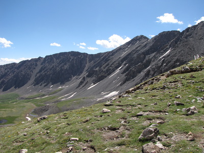
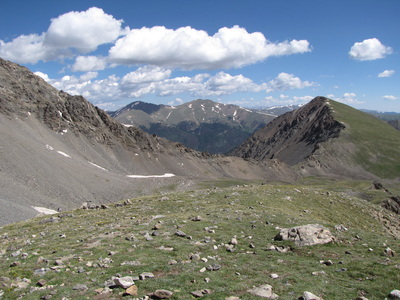
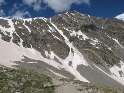
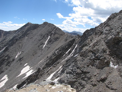
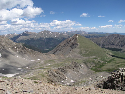
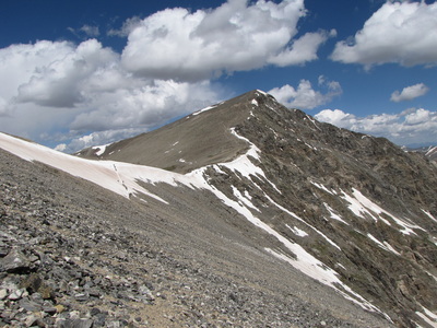
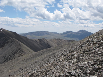
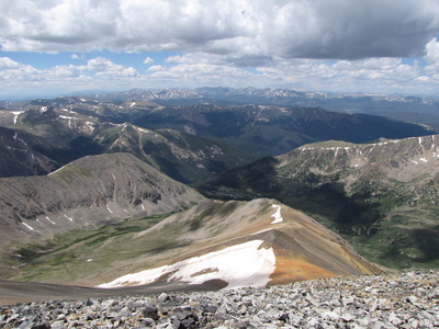
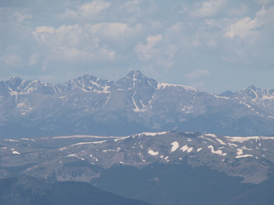
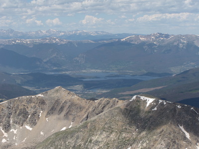
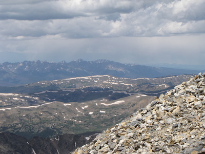
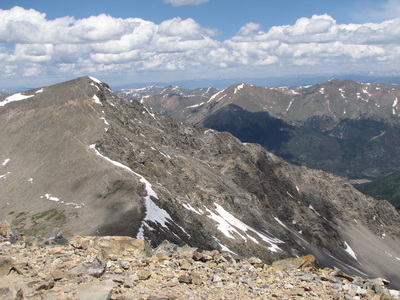
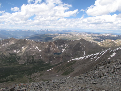
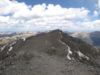
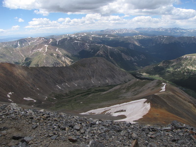
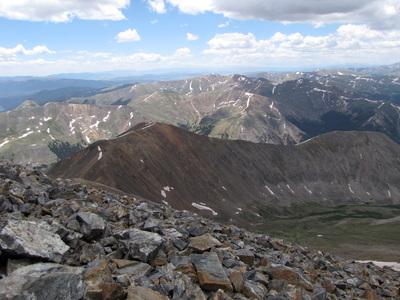
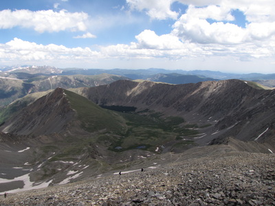
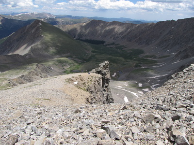
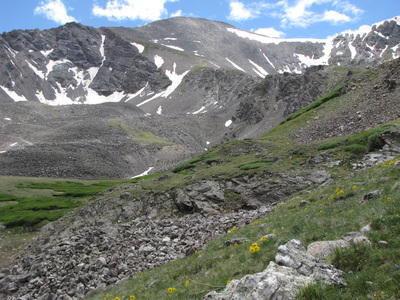
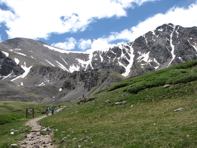
14ers.com has the best info and descriptions for this hike so check out their website www.14ers.com. Grays Peak is one of the closest 14ers to Denver and a relatively easy one to tackle. It is basically a walk up with no technical knowledge. Therefore, there are many many people on the trail. Don't let the people discourage you however, the hike is incredible. Many folks do Grays in conjunction with Torreys Peak, however, on this particular day, my wife and I were really feeling the altitude when we got up to Grays and decided to head back down instead of bagging Torrey's, but that's OK, it's not going anywhere... You start by hiking up a beautiful alpine basin full of wildlfowers and a rushing creek. The hike will level off for just a short time as you go through a rocky area and enter into the Grays/Torrey's cirque. From here it is a slow and steady climb up switchbacks to the summit of Grays. BTW - Grays is the rounded summit while Torreys is the sharp peak. When you get to the trail junction 2/3rds of the way up Grays, keep on heading to the rounded summit. If you take the trail going off to the right, you'll be heading up to Torreys. Still awesome, but not the subject of this description... Keep on going until you reach the summit. Needless to say the views are mind-blowing, especially the up-close view of Torreys, majestic! |
- HOME
- ABOUT
-
HIKES BY REGION
-
NATIONAL PARK HIKES
- BENT'S OLD FORT NATIONAL HISTORIC SITE
- BLACK CANYON OF THE GUNNISON NATIONAL PARK
- COLORADO NATIONAL MONUMENT
- CURECANTI NATIONAL RECREATION AREA
- DINOSAUR NATIONAL MONUMENT
- FLORISSANT FOSSIL BEDS NATIONAL MONUMENT
- MESA VERDE NATIONAL PARK
- ROCKY MOUNTAIN NATIONAL PARK
- GREAT SAND DUNES NATIONAL PARK
- HOVENWEEP NATIONAL MONUMENT
- SAND CREEK MASSACRE NATIONAL HISTORIC SITE
- YUCCA HOUSE NATIONAL MONUMENT
- HIKES BY CATEGORY
- NEWS
- WEBCAMS
- $UPPORT GHC
- INTERACTIVE MAP
Grays Peak 14,270ft
Arapaho National Forest
Distance: 8 mi (RT)
Elevation Gain: 3,000 ft
Elevation Min/Max: 11,280 to 14,270ft
Managing Agency: U.S. Forest Service
Fee: None

