|
|
|
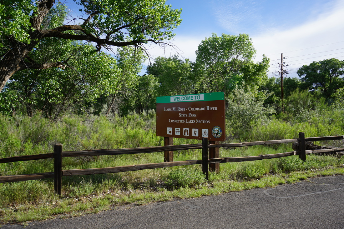
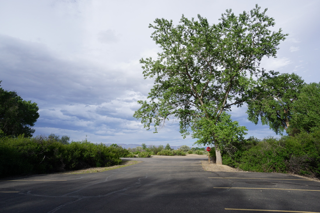
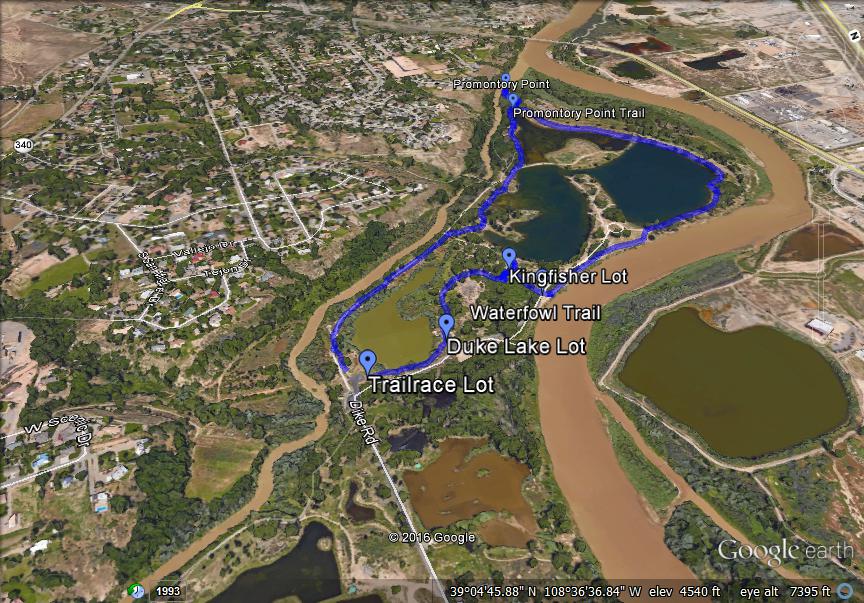
Directions: The Connected Lakes part of the Colorado River State Park is located on Dike Road. From Grand Junction, take Riverside Parkway to route 340/Broadway. Head south on Broadway, cross the Colorado River, and turn right on Dike Road. Follow it to the entrance to Colorado River State Park and park at the first lot you see, the Trailrace Lot.
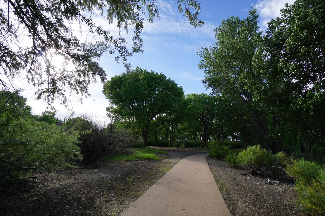
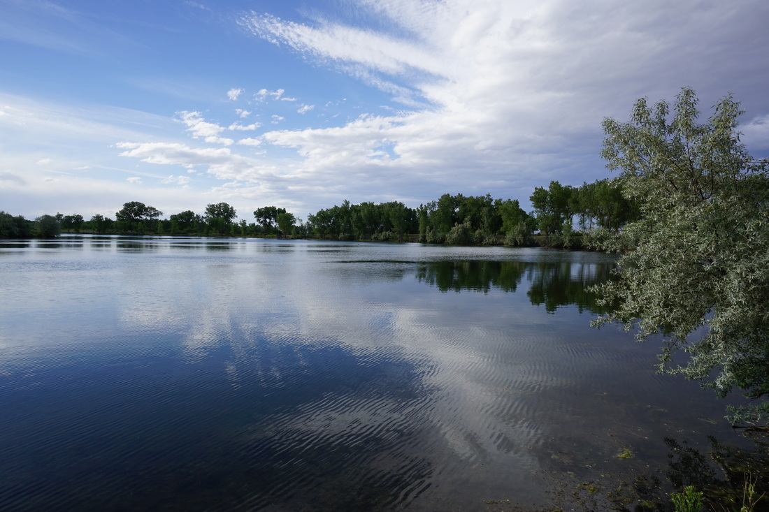
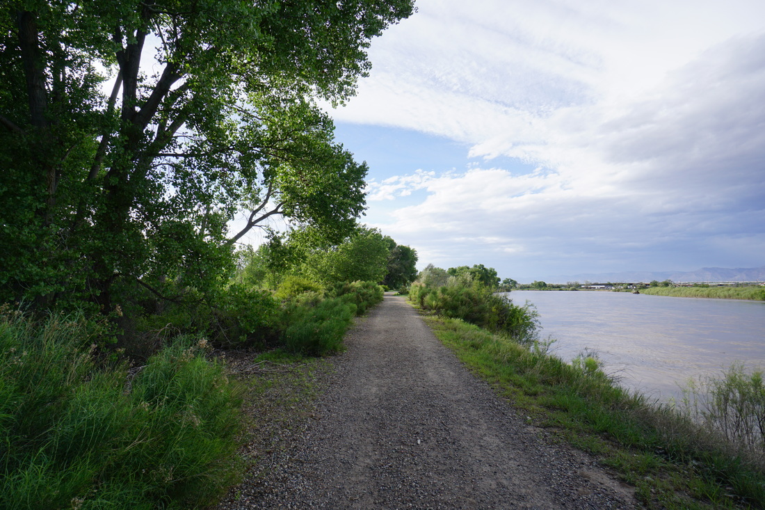
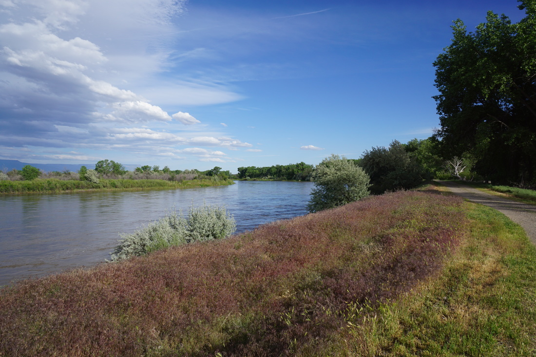
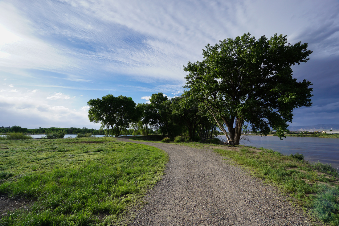
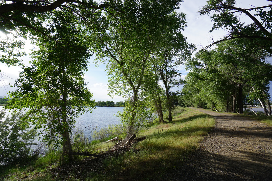
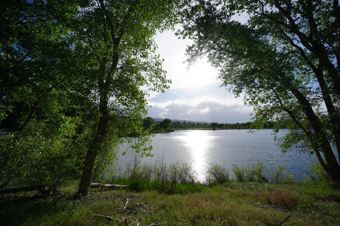
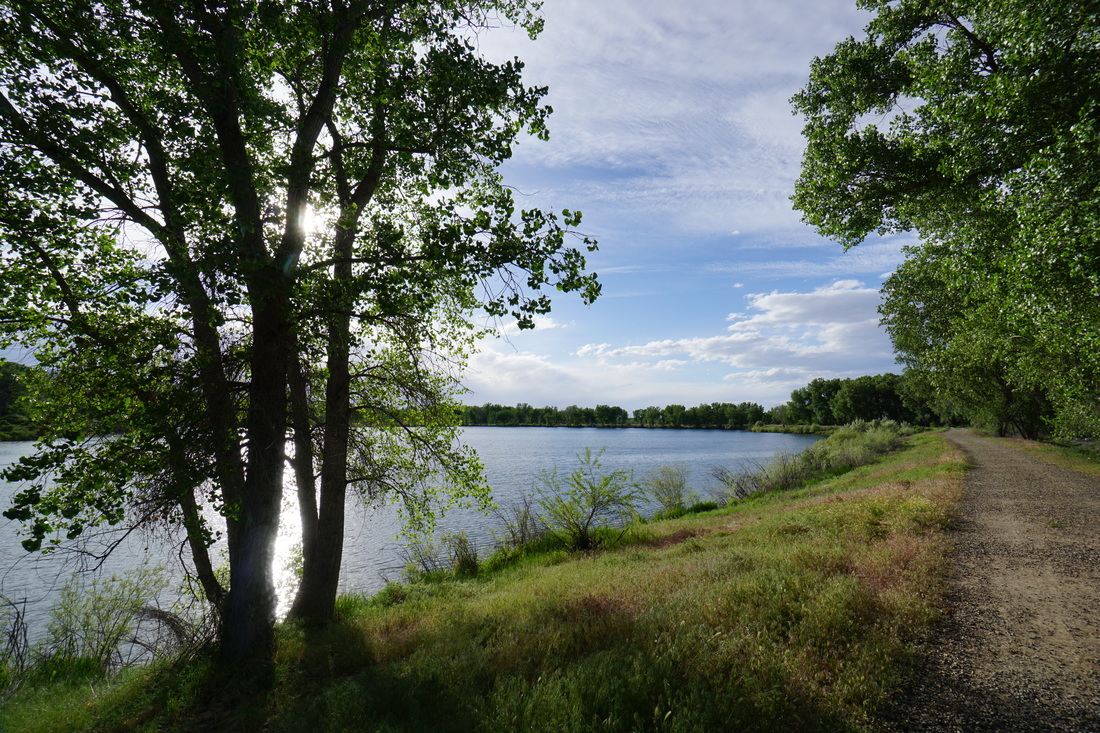
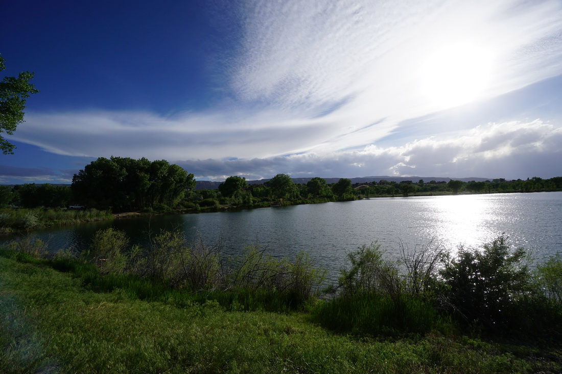
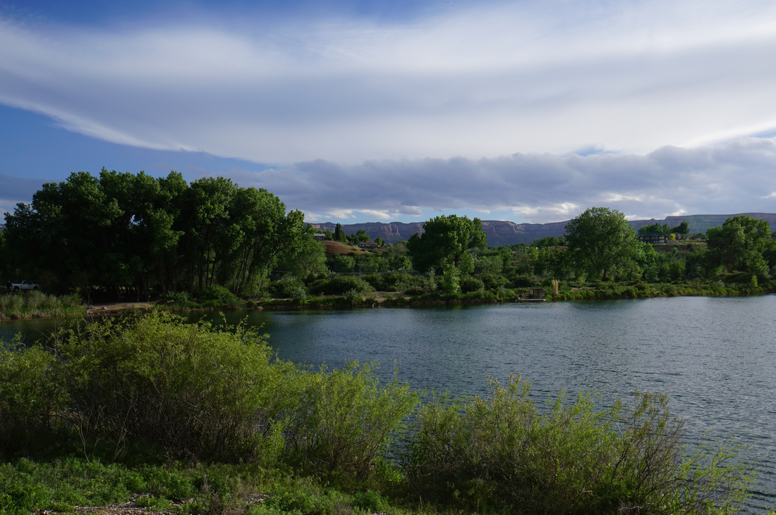
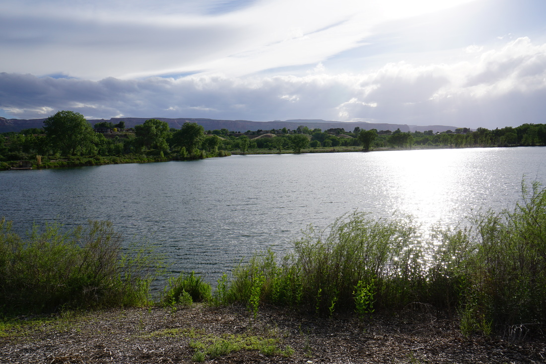
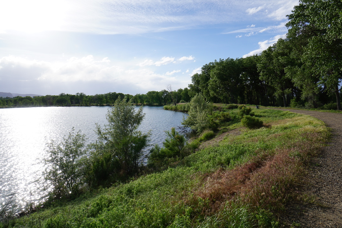
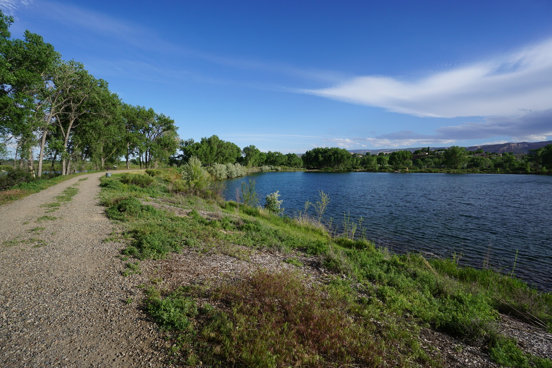
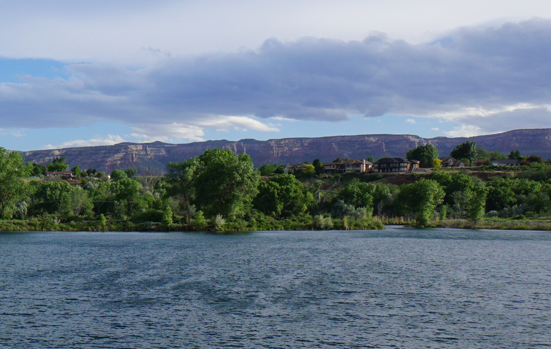
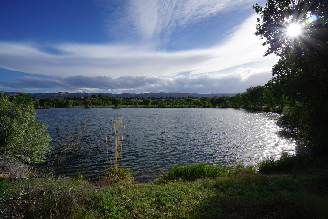
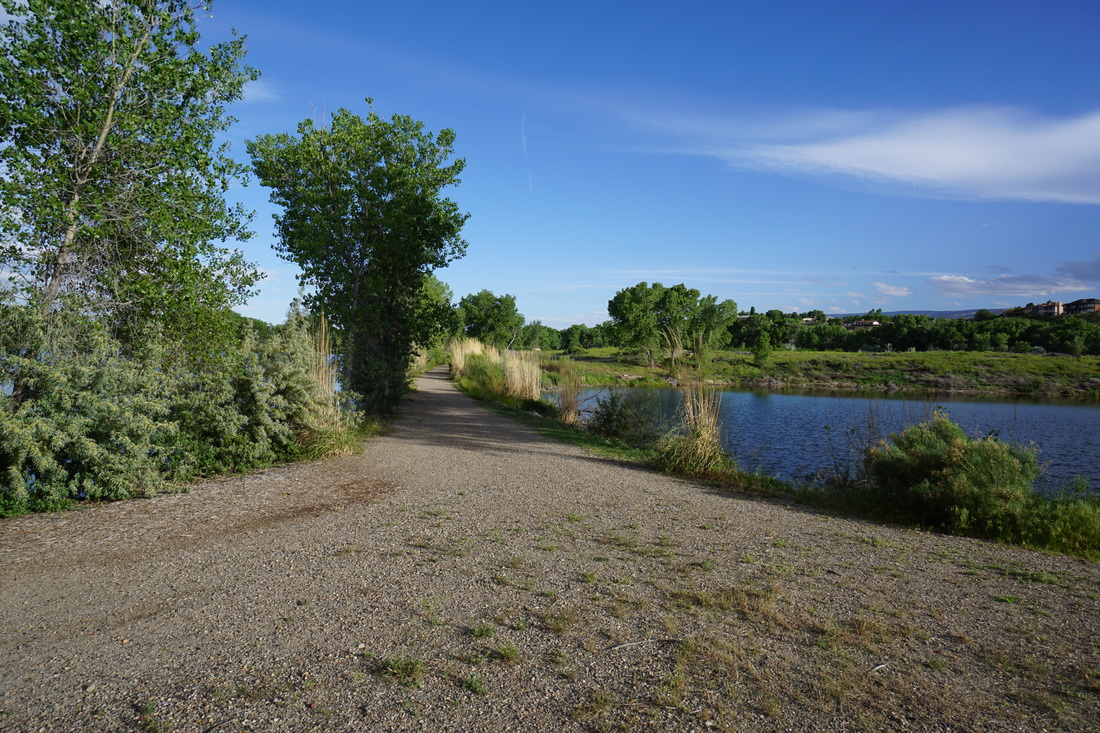
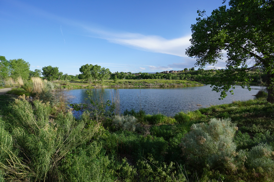
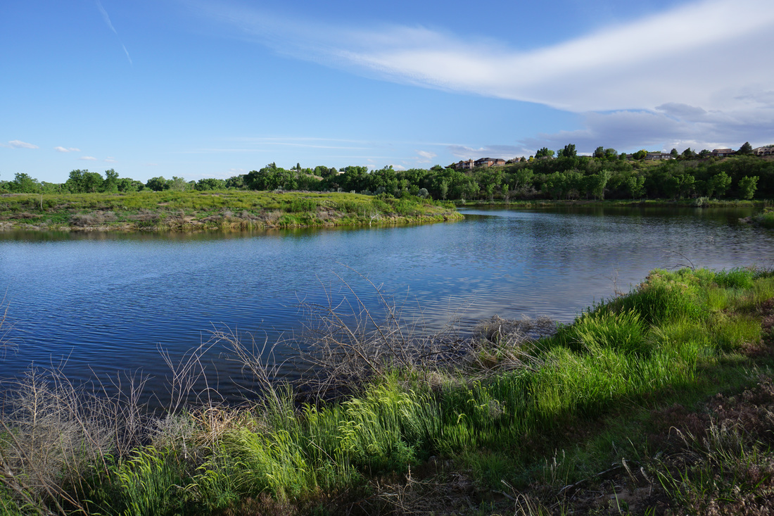
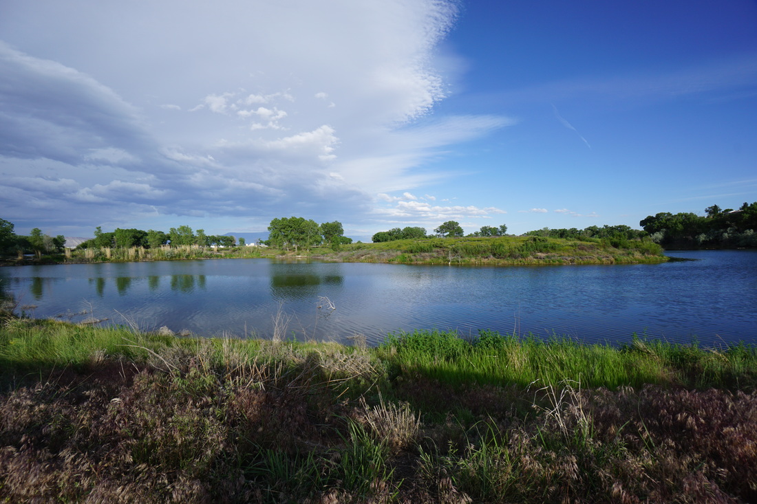
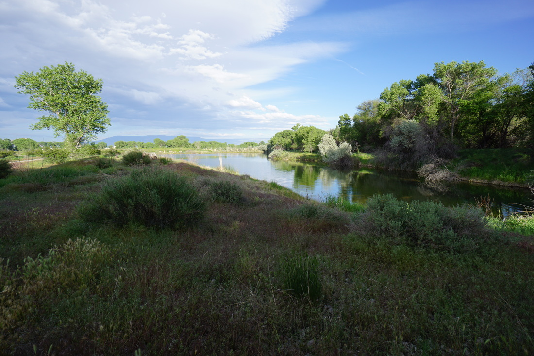
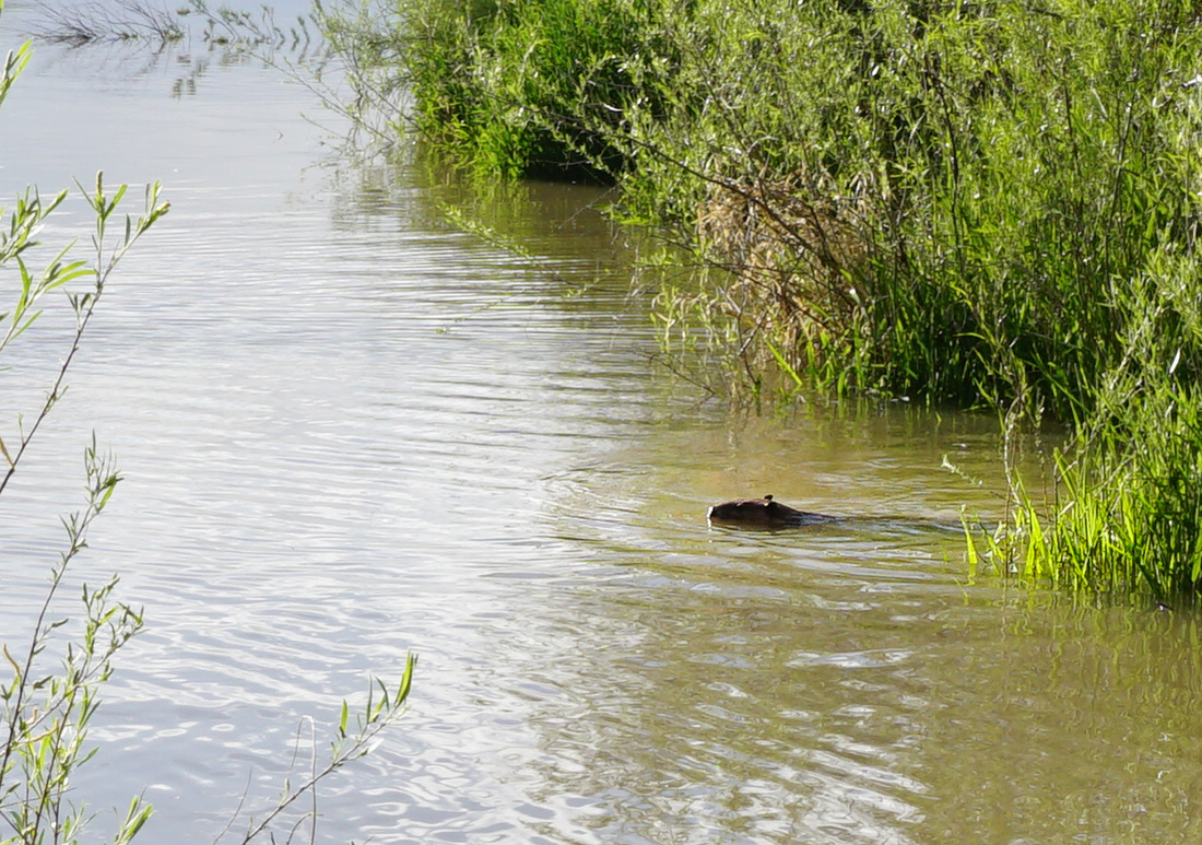
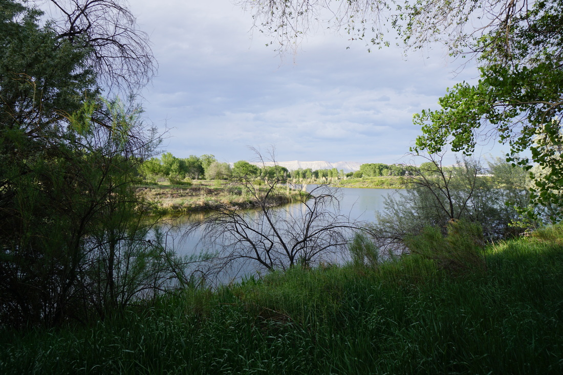
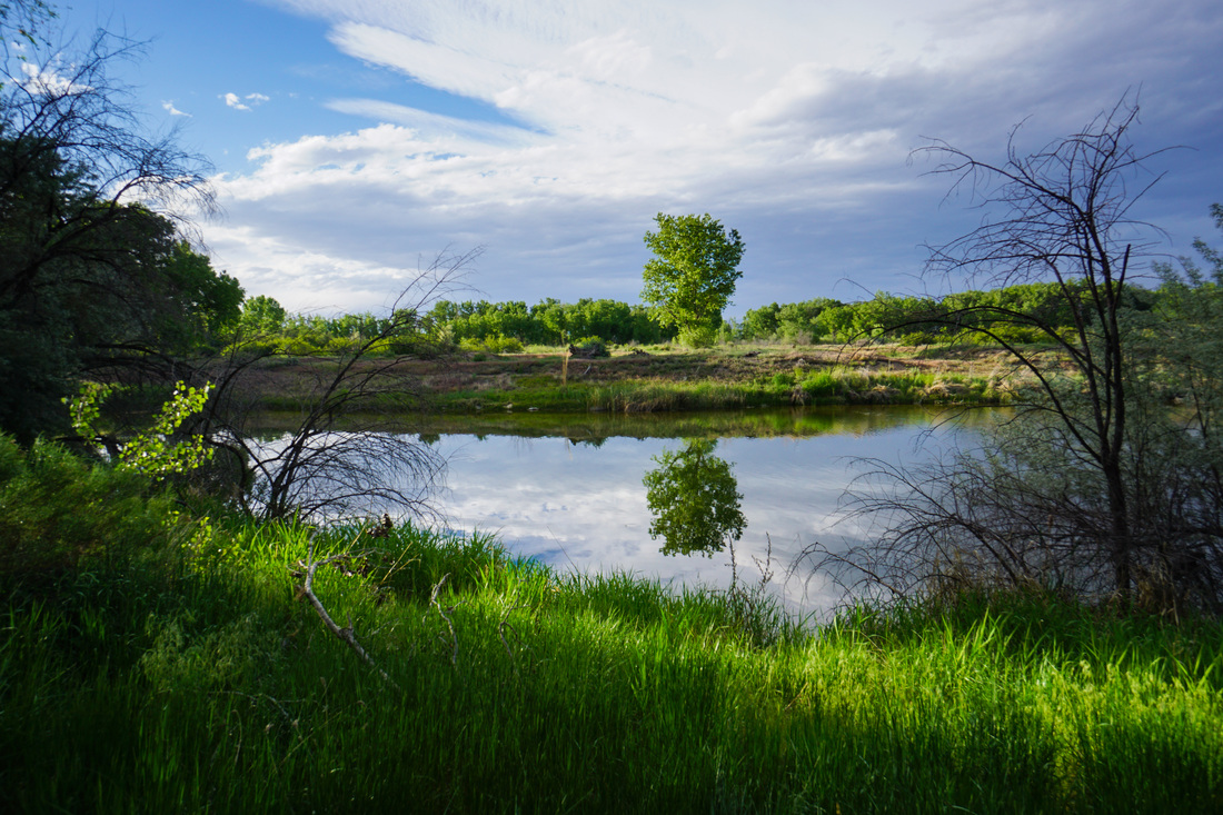
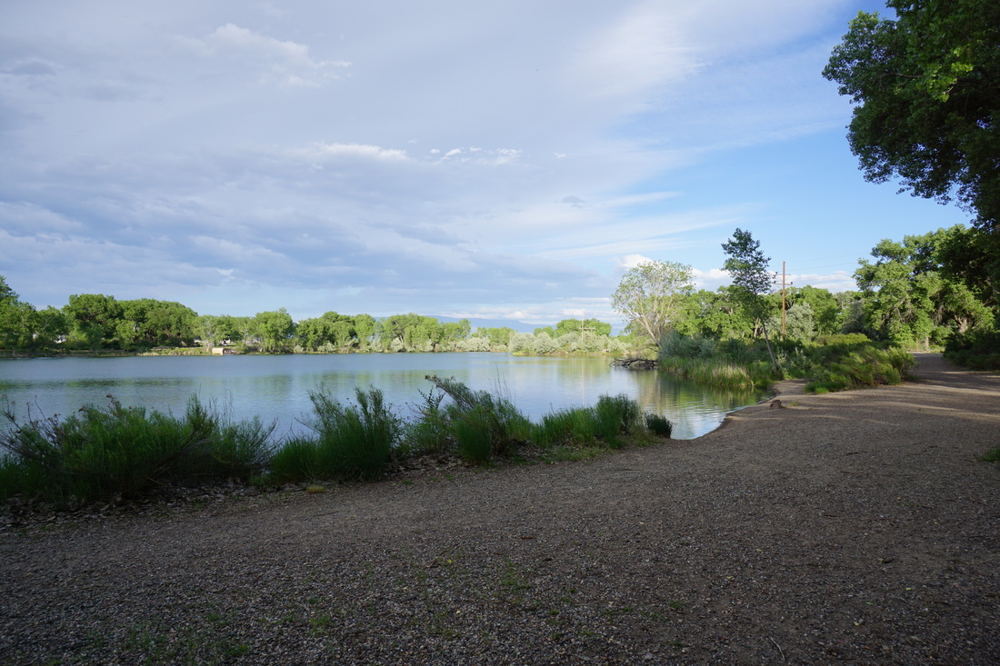
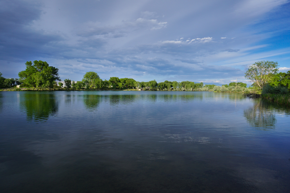
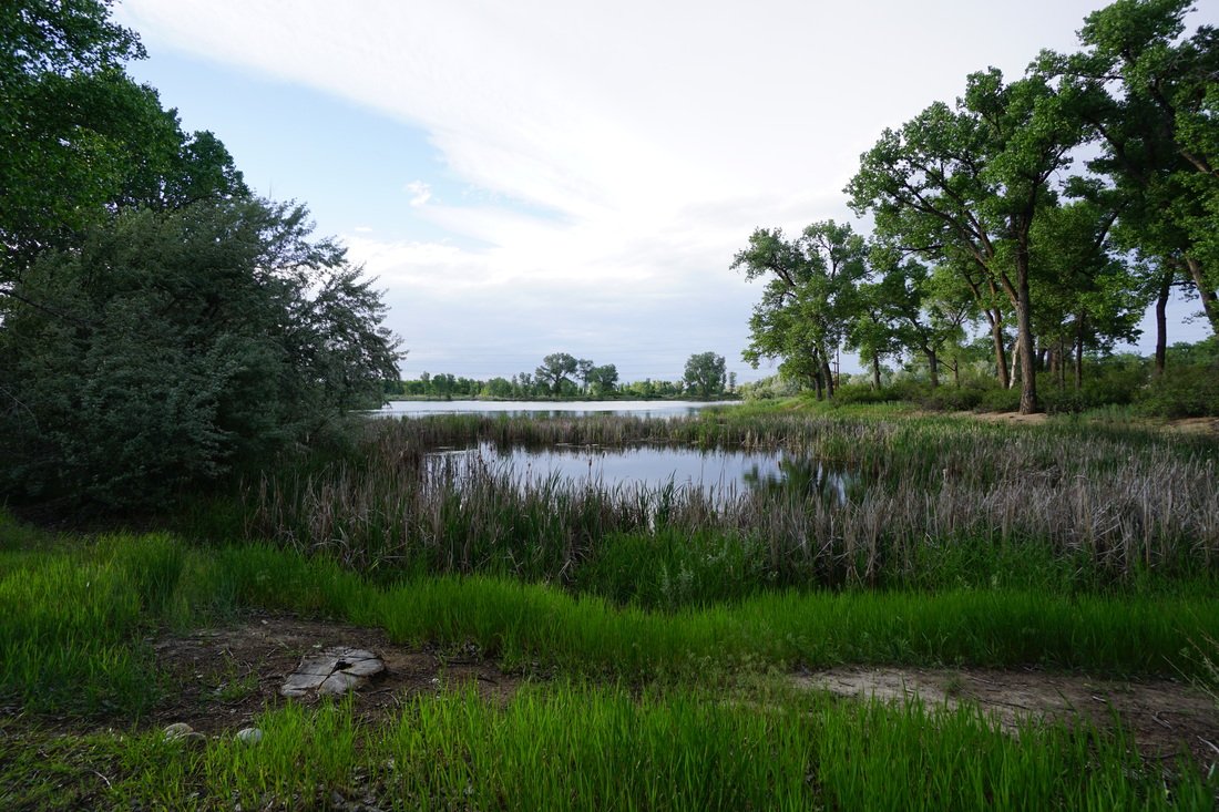
The Colorado River State Park is made up of various units and the Connected Lakes unit is one of the largest. Connected Lakes consists of a series of lakes all alongside the Colorado River. There are natural surface and paved trails here and the park is popular with fishers and picnickers as well as hikers and walkers.
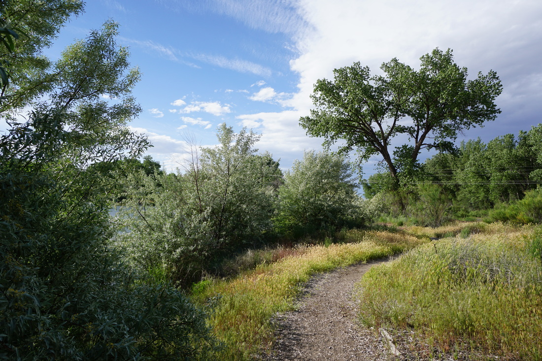
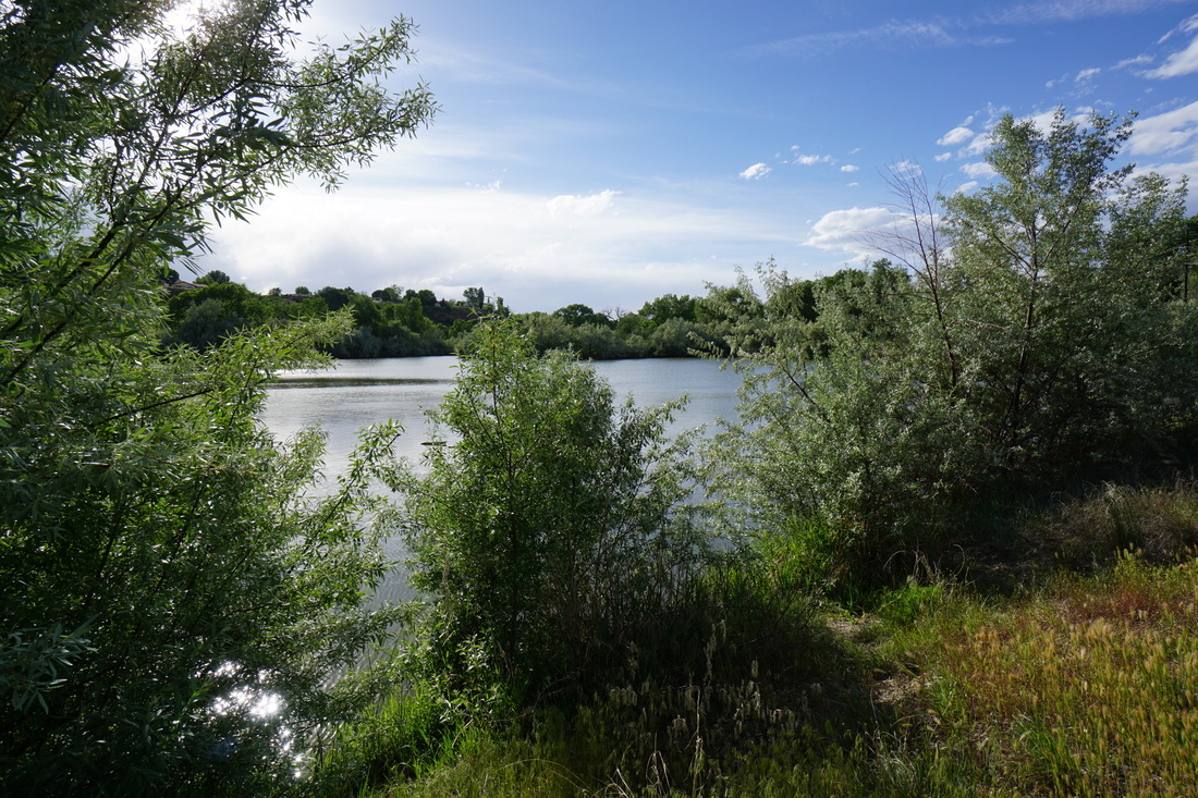
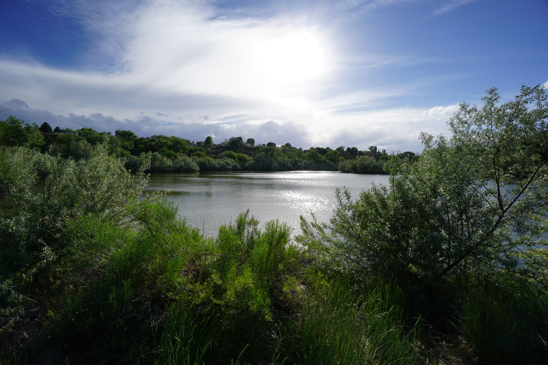
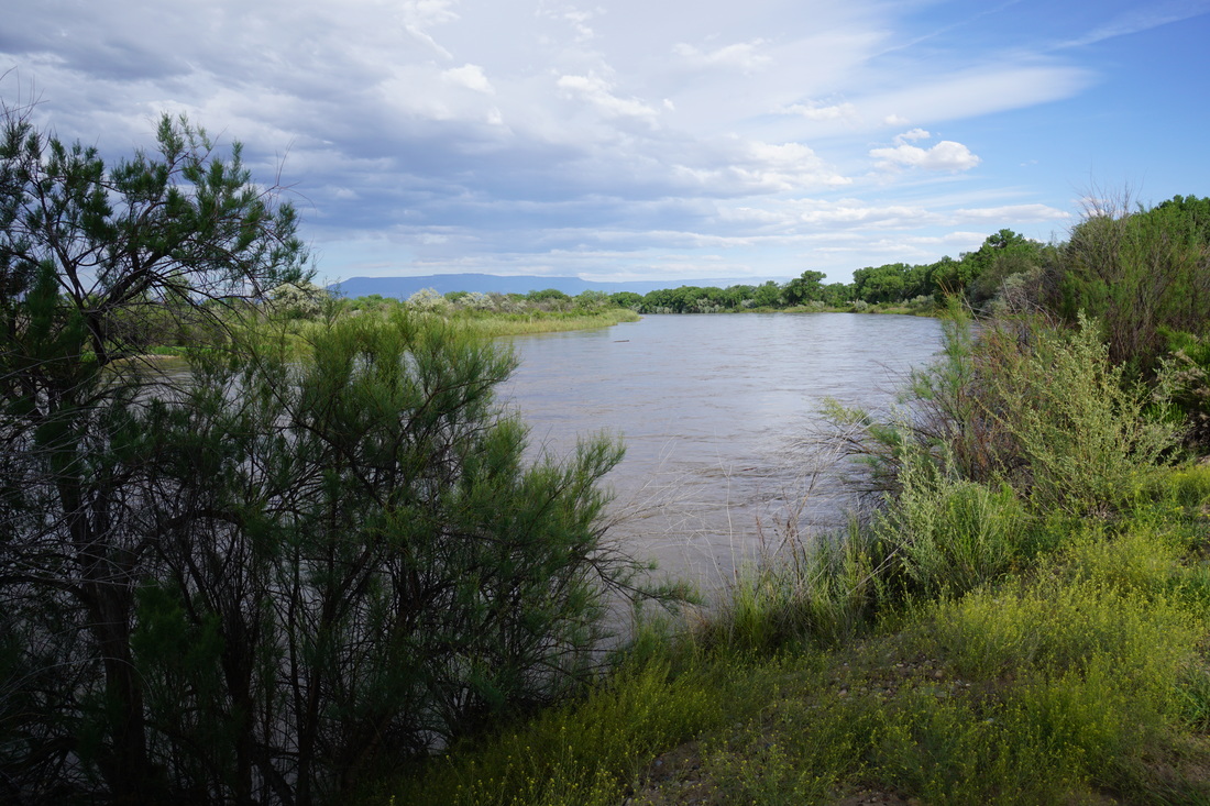
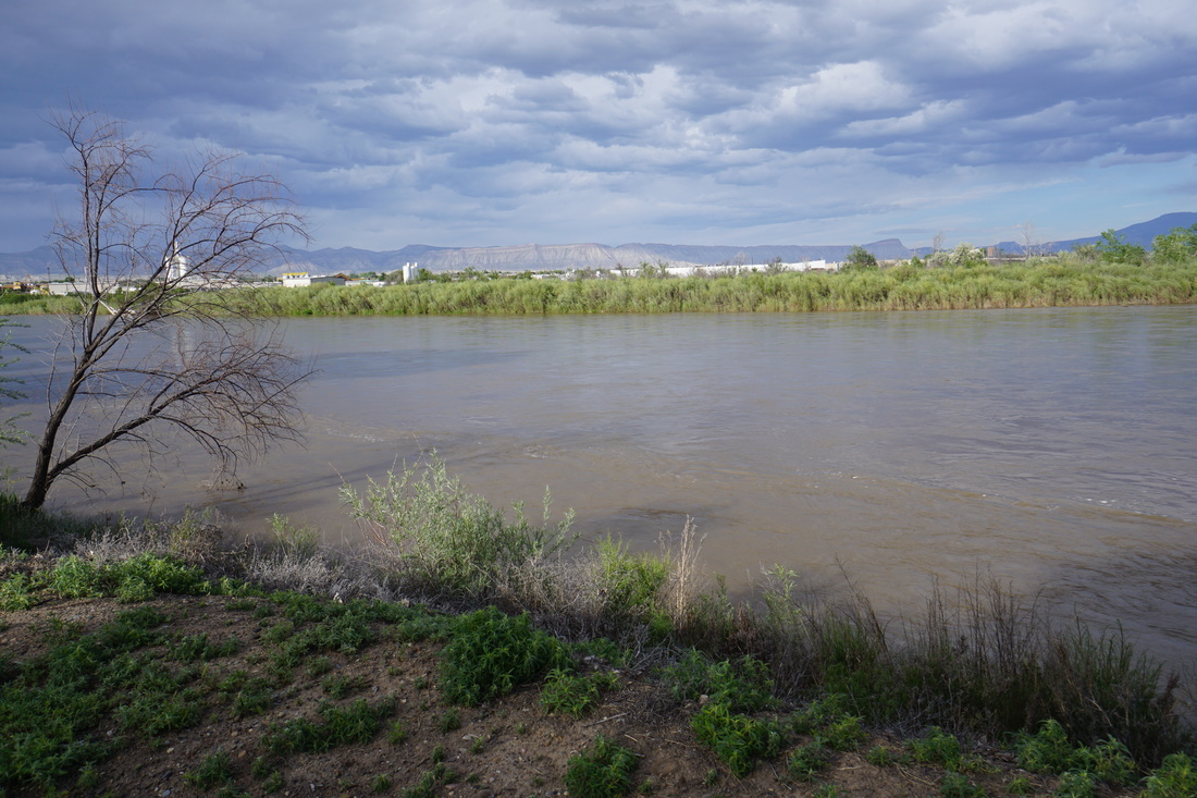
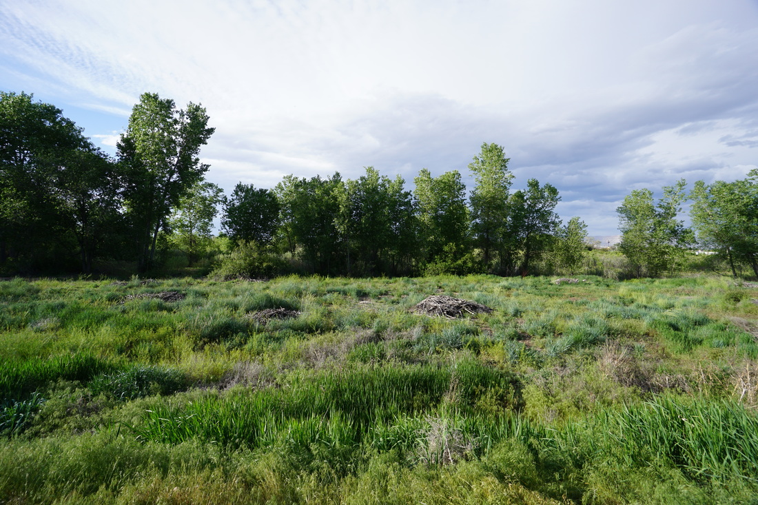
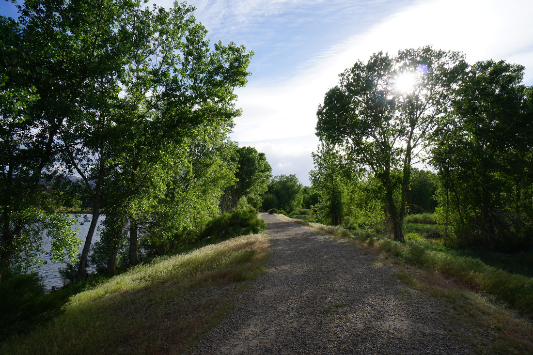
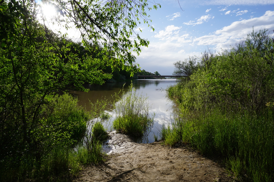
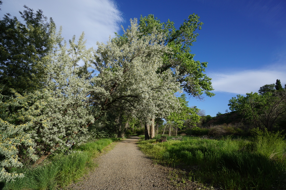
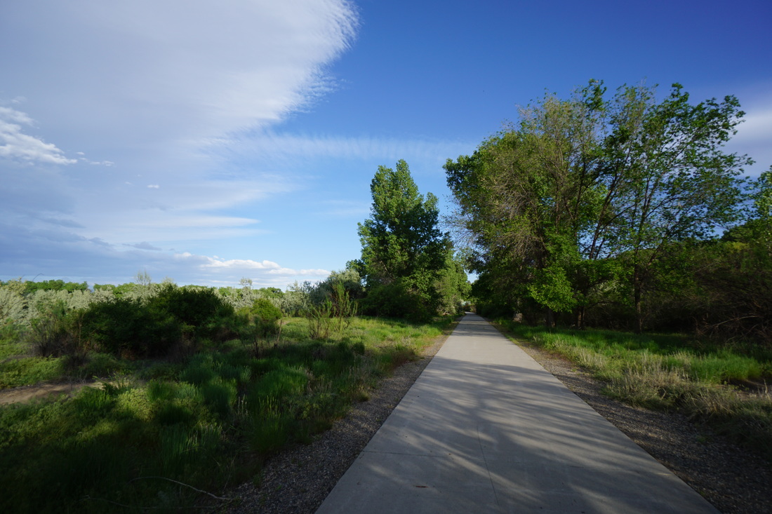
This hike description starts at the Trailrace Lot, connects to the Waterfowl Loop Trail and returns on the Promontory Trail. Along the way there are many social trails and fishing trails that you can follow for further exploration. From the Trailrace Lot, look for the dirt trail on the northern end of the lot that follows the shores of Duck Lake. Once you reach the Duck Lake lot, there will be a paved trail to the left, follow this trail to the Kingfisher Lot. Walk through the Kingfisher Lot and cross the street to pick up the dirt Waterfowl Loop Trail. The Waterfowl Loop Trail follows the Colorado River for a ways and then shifts over to skirt the shores of the largest of the Connected Lakes. The trail turns south to Endangered Fish Lake and eventually hits the paved Promontory Trail. Turn right here away from the lakes for a few minutes walk to the scenic Promontory Point, with a nice view of the Colorado River. From here follow the paved trail back to the Trailrace lot, exploring some of the dirt trails along the way. This park is scenic and pleasant and perfect for an evening or early morning hike. You won't find much in the way of solitude, but the lakes and Colorado River provides a peaceful and relaxing setting. |
|