|
Directions: From I-70 and Rifle head north on 13. Stay left on 13 when 325 branches off towards Rifle Gap State Park. The trailhead is at a small parking area about 3.5 miles after the split.
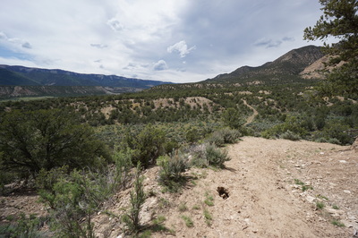
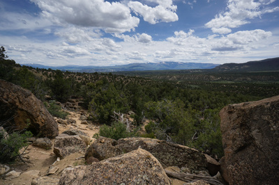
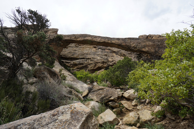
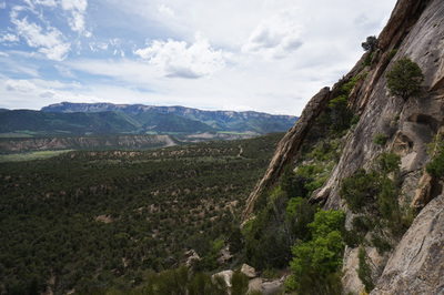
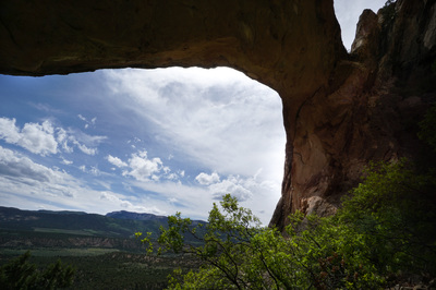
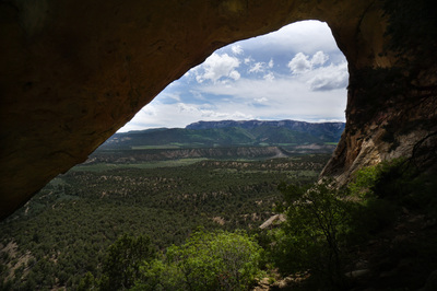
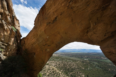
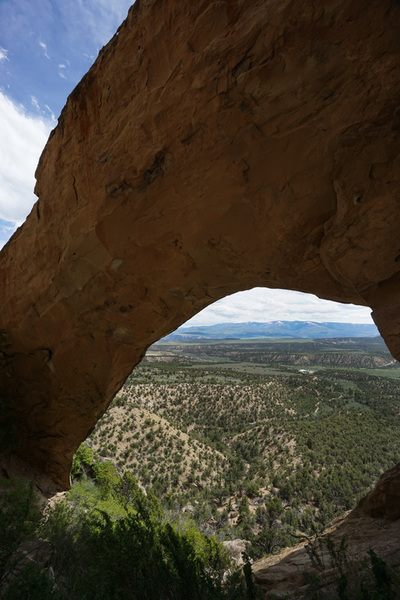
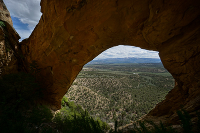
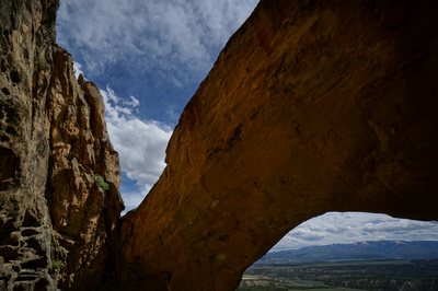
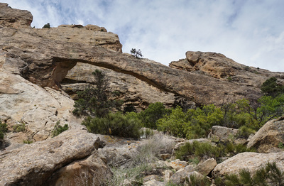
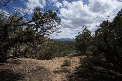
The Rifle Arch Trail is hidden gem just north of the town of Rifle, CO. The trail crosses desert scrub, climbs to a shelf overlooking the Roan Plateau and Battlement Mesa, and finally scrambles up the hillside to the stunning Rifle Arch.
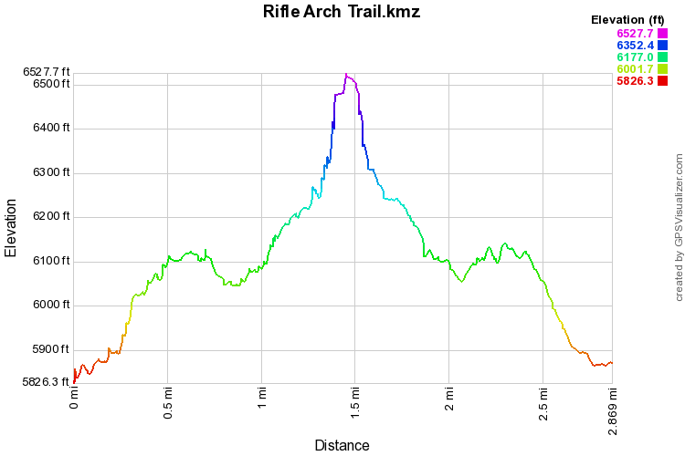
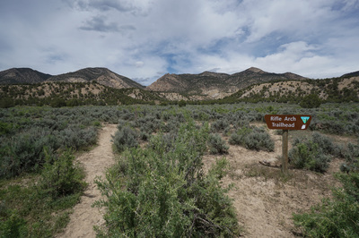
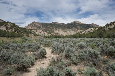
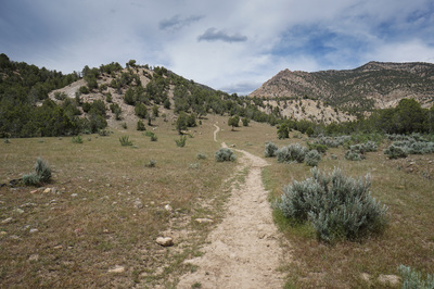
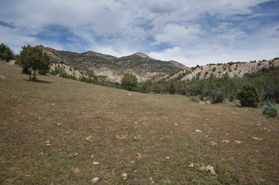
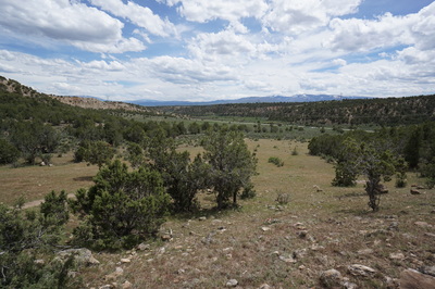
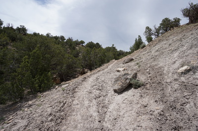
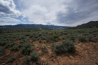
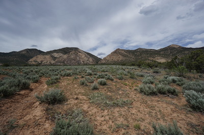
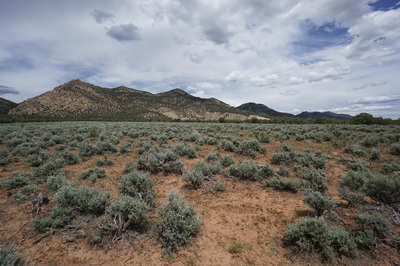
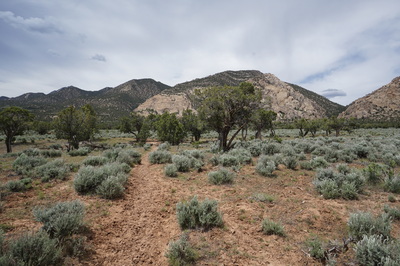
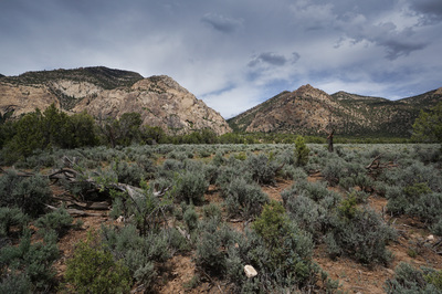
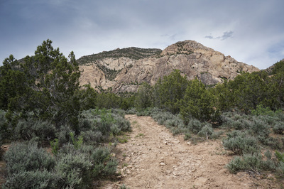
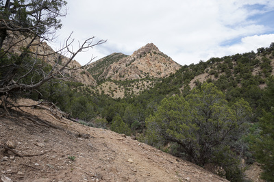
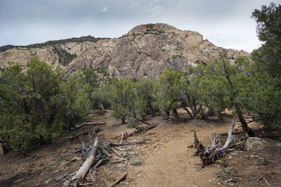
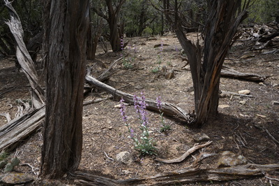
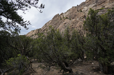
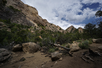
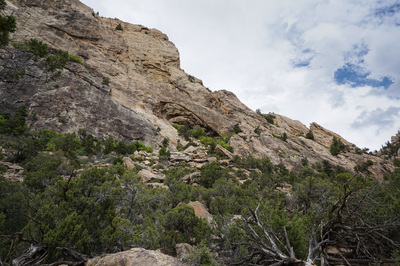
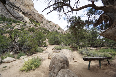
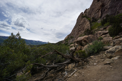
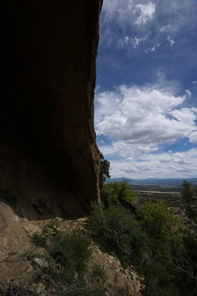
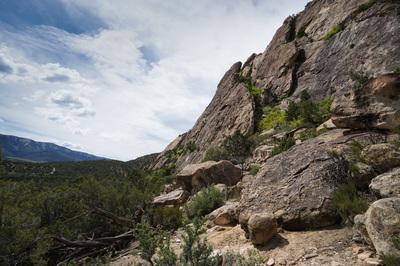
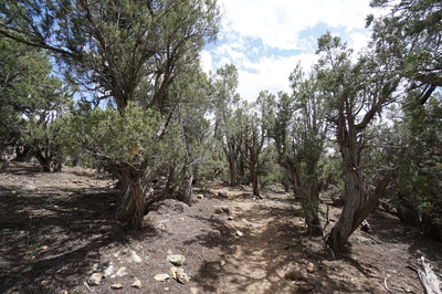
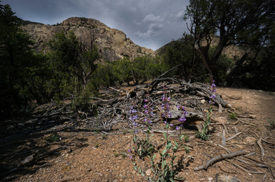
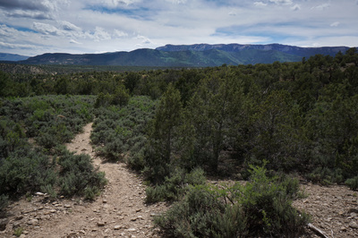
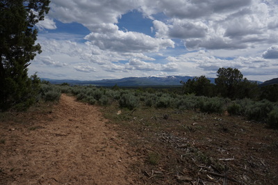
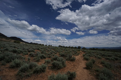
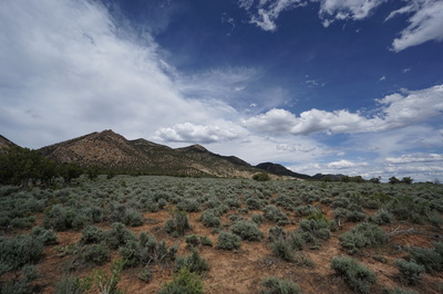
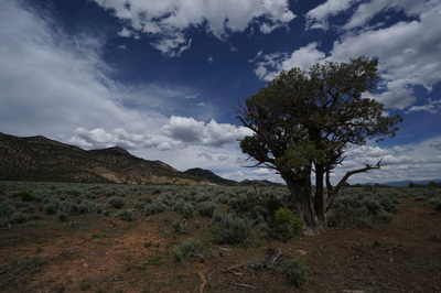
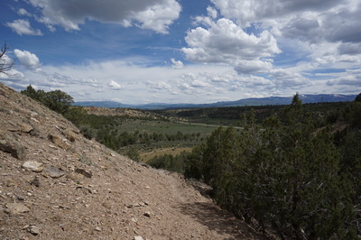
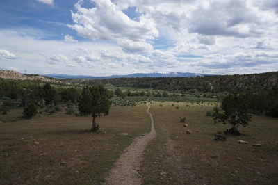
Begin by crossing the flat desert terrain towards the rocky hills in the distance. Before long the trail climbs up a hill to another flat area, with beautiful red dirt and scrubby juniper trees. From here the trail descends to the bottom of a wash where it enters a shady juniper tree forest. When you reach the 1.3 mile mark you'll find a pleasant bench that looks up the hill to the arch, which is barely visible from this vantage point. The trail is easy to follow until you reach the bench and from the bench you can follow a faint trail as it climbs up towards the arch. The views are terrific from this part of the hike and the rocky hillside reveals wonderful rock formations and majestic cliffs. Some route finding and scrambling is required here but it never gets too tough or dangerous. As you scramble up the arch takes on more prominence. Once you reach the arch you can climb up the slickrock to a peaceful amphitheater behind the arch with wonderful views through the arch to the desert floor below and the mesa's beyond. |
- HOME
- ABOUT
-
HIKES BY REGION
-
NATIONAL PARK HIKES
- BENT'S OLD FORT NATIONAL HISTORIC SITE
- BLACK CANYON OF THE GUNNISON NATIONAL PARK
- COLORADO NATIONAL MONUMENT
- CURECANTI NATIONAL RECREATION AREA
- DINOSAUR NATIONAL MONUMENT
- FLORISSANT FOSSIL BEDS NATIONAL MONUMENT
- MESA VERDE NATIONAL PARK
- ROCKY MOUNTAIN NATIONAL PARK
- GREAT SAND DUNES NATIONAL PARK
- HOVENWEEP NATIONAL MONUMENT
- SAND CREEK MASSACRE NATIONAL HISTORIC SITE
- YUCCA HOUSE NATIONAL MONUMENT
- HIKES BY CATEGORY
- NEWS
- WEBCAMS
- $UPPORT GHC
- INTERACTIVE MAP
Rifle Arch Trail
BLM Public Lands
Date Hiked: May 20, 2016
Distance: 2.9 mi (RT)
Elevation Gain: 875 ft
Elevation Min/Max: 5,826 to 6,528 ft
Trailhead Lat/Long: 39º 36' 45" N; 107º 48' 36" W
Managing Agency: Bureau of Land Management (BLM)
Fee: None

