|
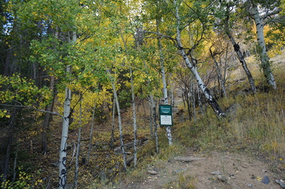
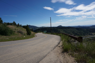
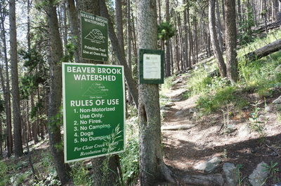
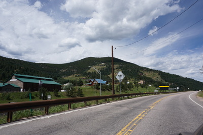
Directions: From Denver take I-70 west to exit 248 - Beaver Brook. Exit the highway and turn left onto US-40 (Frontage Road) and head west. Turn left to cross over I-70 on the bridge and turn right on Hyland Road following signs to Saddleback Mountain. Hyland road becomes (bear right) Saddle Ridge Road. Follow this road as it snakes up the side of the mountain. Turn right onto Saddleback Mountain Road and keep your eyes out for the trailhead on the left. The trailhead is located at the sharp switchback below a big white house. There is room for maybe 2 cars at the trailhead, do not park in the driveway next to the trailhead.
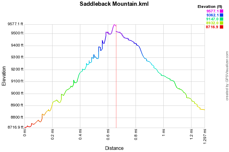
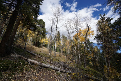
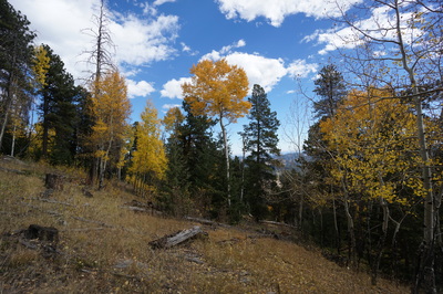
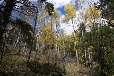
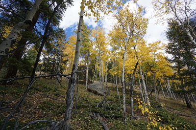
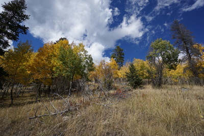
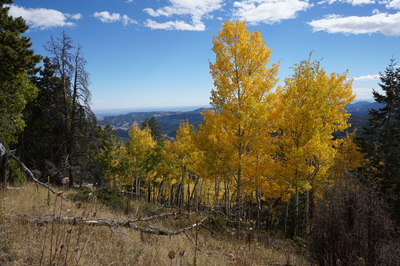
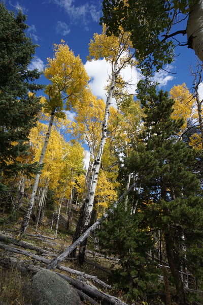
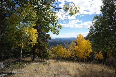
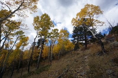
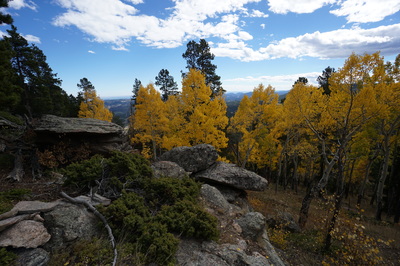
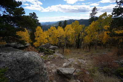
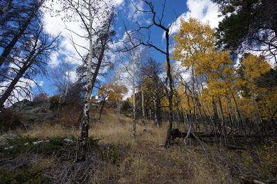
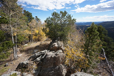
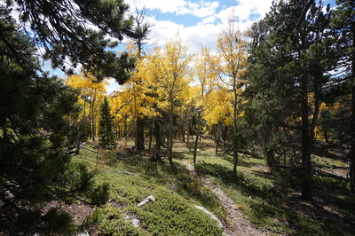
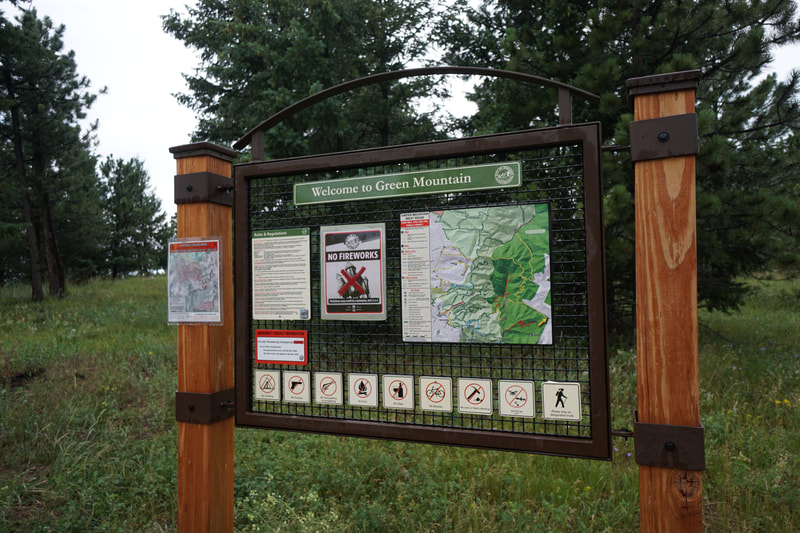
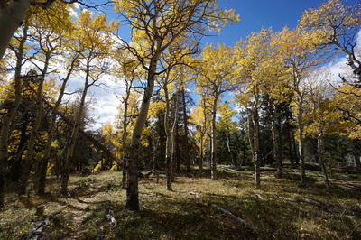
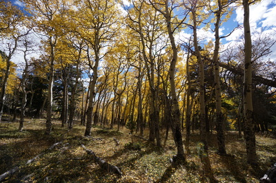
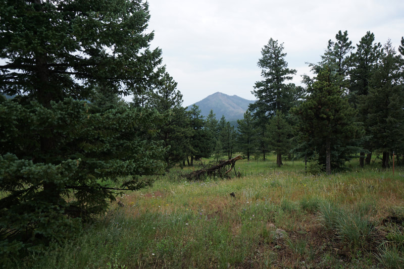
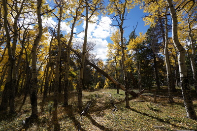
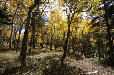
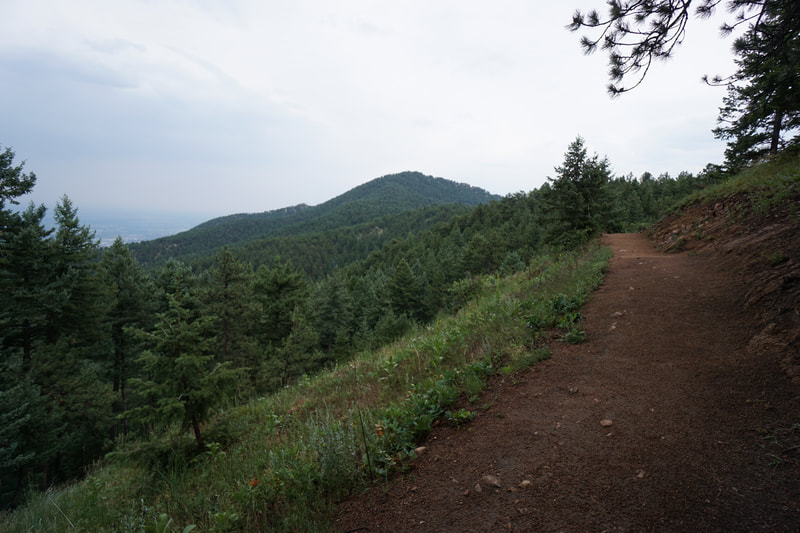
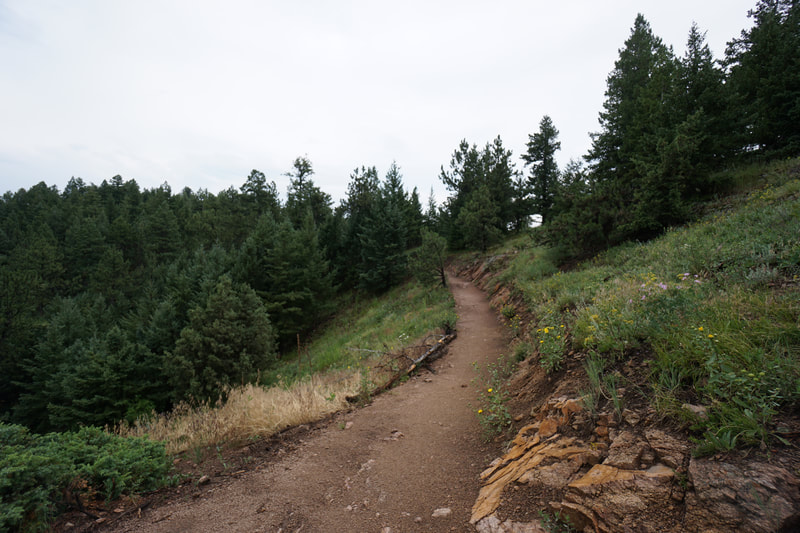
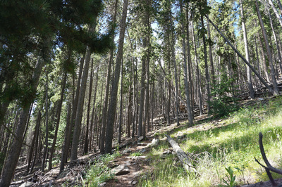
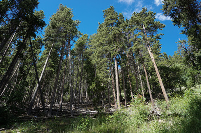
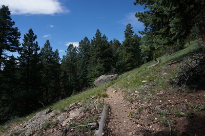
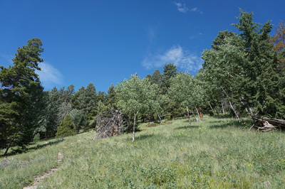
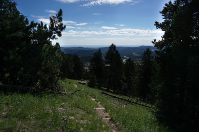
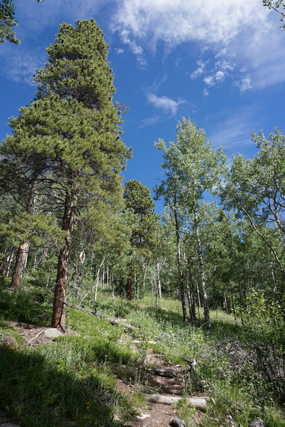
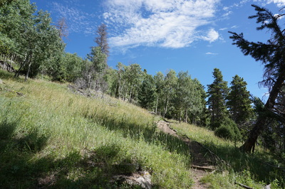
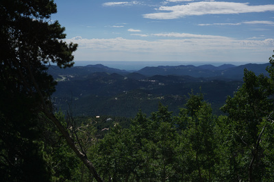
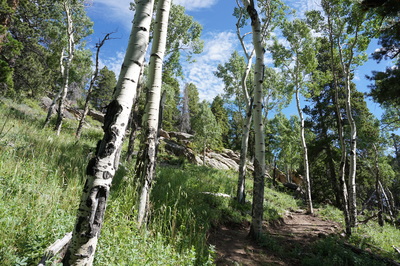
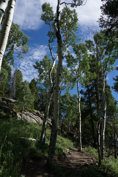
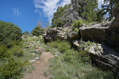
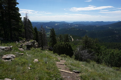
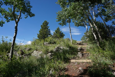
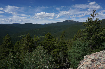
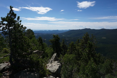
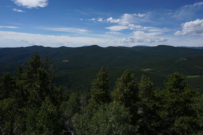
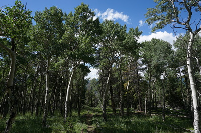
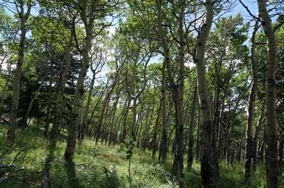
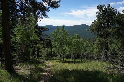
Saddleback Mountain is a local gem located in the Beaver Brook Watershed Open Space. It is relatively unknown and sees little use. The small parking area makes it virtually impossible to ever be a popular trail. The County has recently done some maintenance work on the trail and it is now very easy to follow. If you ever have a doubt that you are on the right trail, just look for the new 4 by 4s placed across the trail for erosion mitigation. The trail is beautiful as it passes through dense forest and Aspen groves. The views are spectacular but the trail is very steep gaining 866 ft in .6 miles.
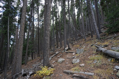
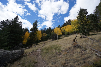
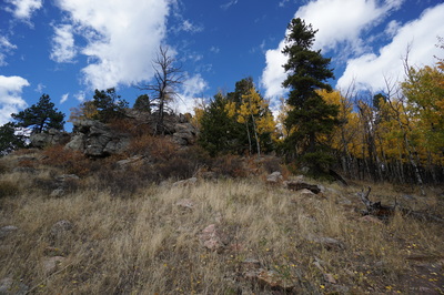
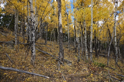
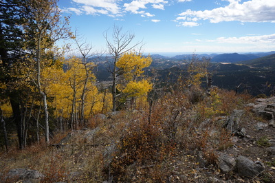
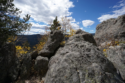
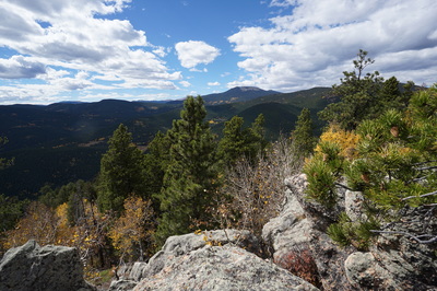
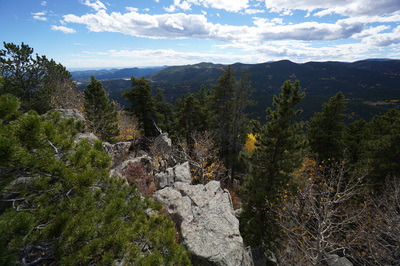
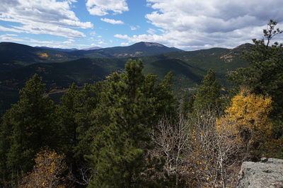
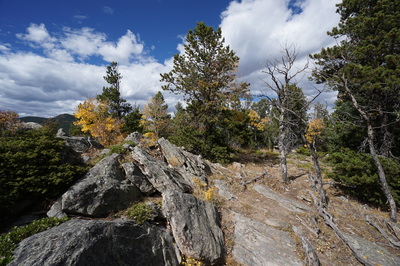
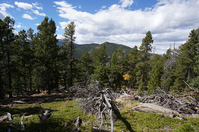
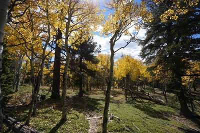
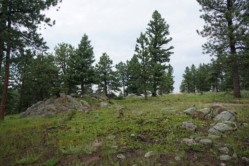
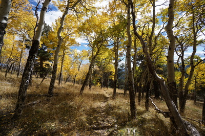
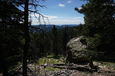
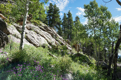
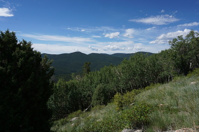
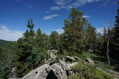
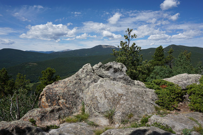
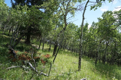
From the trailhead head up into the forest and start climbing. Almost immediately you'll reach a trail split, take either trail as they meet up again in just a few minutes. As you climb you'll pass through sloping meadows and clearings with amazing eastern views. After about .4 miles your reach a another trail split, this is the summit loop and you'll return to this spot later. I suggest turning right here. Continue uphill as the evergreen forest gives way to beautiful Aspen forest until you reach the rock outcrop that is the summit. From the summit you get terrific views of Squaw Mountain and Chief Mountain. Unfortunately, Mt. Evans is hidden behind Squaw Mountain and the Continental Divide (James Peak) is hidden by trees to the west. I spent a little time up here bushwhacking looking for a westerly view but found none. The trail continues past the summit and branches off. The trail to the right seems to head back downhill (and I assume that it meets back up with the main trail although I have not hiked that way). If you bear left after the summit you'll descend and loop back to the main trail across the southern slopes of the mountain. The return loop passes through spectacular Aspen forest and has wonderful easterly views. Before long you'll rejoin the main trail which will lead you back to the trailhead. |
October 2, 2016 (Update) |
- HOME
- ABOUT
-
HIKES BY REGION
-
NATIONAL PARK HIKES
- BENT'S OLD FORT NATIONAL HISTORIC SITE
- BLACK CANYON OF THE GUNNISON NATIONAL PARK
- COLORADO NATIONAL MONUMENT
- CURECANTI NATIONAL RECREATION AREA
- DINOSAUR NATIONAL MONUMENT
- FLORISSANT FOSSIL BEDS NATIONAL MONUMENT
- MESA VERDE NATIONAL PARK
- ROCKY MOUNTAIN NATIONAL PARK
- GREAT SAND DUNES NATIONAL PARK
- HOVENWEEP NATIONAL MONUMENT
- SAND CREEK MASSACRE NATIONAL HISTORIC SITE
- YUCCA HOUSE NATIONAL MONUMENT
- HIKES BY CATEGORY
- NEWS
- WEBCAMS
- $UPPORT GHC
- INTERACTIVE MAP
Saddleback Mountain
Beaver Brook Watershed Open Space
Updated: October 2, 2016
Distance: 1.3 mi (RT)
Elevation Gain: 866ft
Elevation Min/Max: 8,717 to 9,577ft
Date Hiked: July 26, 2015
Trailhead Lat/Long: 39º 43' 06" N; 105º 25' 31" W
Managing Agency: Clear Creek County Open Space
Fee: None

