GO HIKE COLORADO
Get in Touch:
  • HOME
  • ABOUT
  • HIKES BY REGION
    • DENVER AREA >
      • Denver Mountain Parks
      • Jefferson County Open Space
      • Lakewood Parks
      • Denver Area Greenways
    • BOULDER AREA
    • DOUGLAS COUNTY
    • FORT COLLINS AREA
    • COLORADO SPRINGS AREA
    • FRONT RANGE
    • TENMILE & MOSQUITO RANGES
    • GORE RANGE
    • SANGRE DE CRISTO MOUNTAINS
    • PARK RANGE
    • SAWATCH RANGE
    • ELK MOUNTAINS
    • SAN JUAN MOUNTAINS
    • THE FLAT TOPS
    • GRAND MESA
    • COLORADO PLATEAU
    • EASTERN PLAINS
  • NATIONAL PARK HIKES
    • BENT'S OLD FORT NATIONAL HISTORIC SITE
    • BLACK CANYON OF THE GUNNISON NATIONAL PARK
    • COLORADO NATIONAL MONUMENT
    • CURECANTI NATIONAL RECREATION AREA
    • DINOSAUR NATIONAL MONUMENT
    • FLORISSANT FOSSIL BEDS NATIONAL MONUMENT
    • MESA VERDE NATIONAL PARK
    • ROCKY MOUNTAIN NATIONAL PARK
    • GREAT SAND DUNES NATIONAL PARK
    • HOVENWEEP NATIONAL MONUMENT
    • SAND CREEK MASSACRE NATIONAL HISTORIC SITE
    • YUCCA HOUSE NATIONAL MONUMENT
  • HIKES BY CATEGORY
    • HIKES TO ALPINE LAKES
    • HIKES TO PEAKS & PASSES
    • HIKES THROUGH CANYONS
    • HIKES WITH FALL COLORS
    • HIKES ALONG THE I-70 CORRIDOR
    • HIKES ON PAVED TRAILS
    • HIKES FOR KIDS
    • HIKES TO WATERFALLS
    • HIKES ALONG RIVERS
    • HIKES WITH ROCK FORMATIONS
    • HIKES WITH WILDFLOWERS
    • WINTER HIKES
  • NEWS
  • WEBCAMS
  • $UPPORT GHC
  • INTERACTIVE MAP

Chief Mountain
Arapaho National Forest

Date Hiked: June 17, 2017
​
Distance: 3 mi (RT)
Elevation Gain: 1,000ft
Elevation Min/Max: 10,723 to 11,709 ft
Trailhead Lat/Long:39.682439º N; 105.521141º W
Managing Agency: U.S. Forest Service
Fee: None

Chief Mountain Webpage (USFS)
Picture

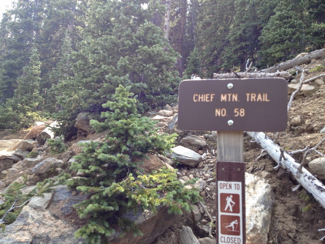
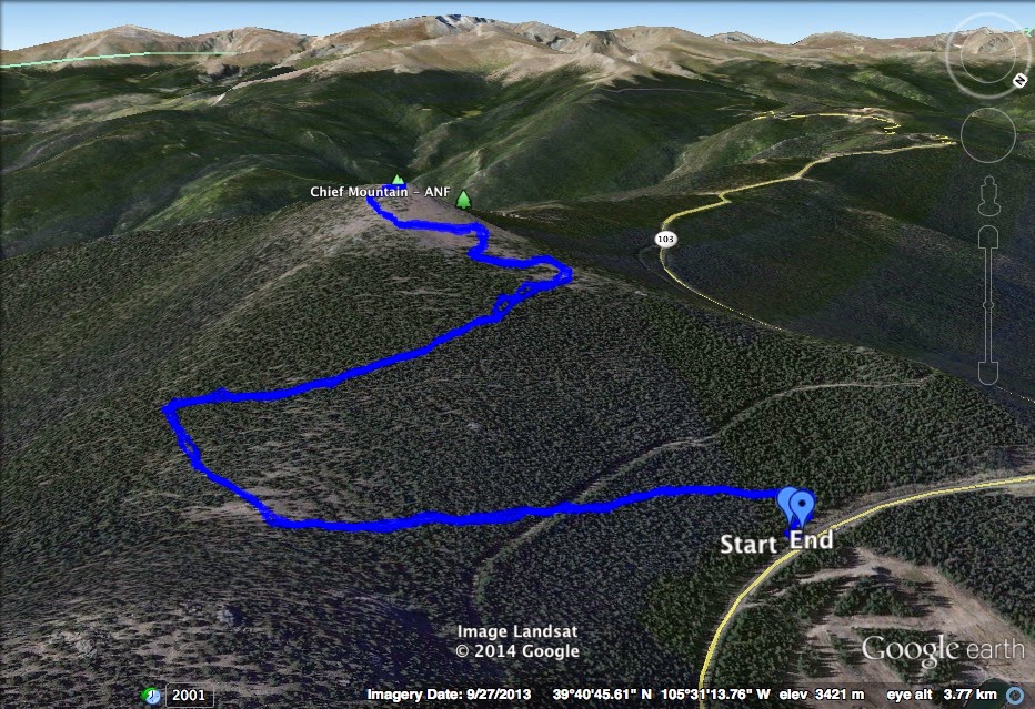
Directions:  The trailhead is located on Squaw Pass Road (103) across from a small parking area (on the shoulder of the road) and near the Echo Mountain Ski Area.  From Idaho Springs, go south on 103 to mile marker 18.  From Evergreen head west on 103 towards Mount Evans to mile marker 18.  The trailhead is small and easy to miss but look for the small Forest Service road sign and a wood sign that says "Chief Mt. Trail"


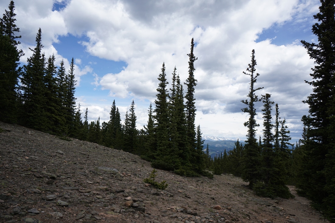
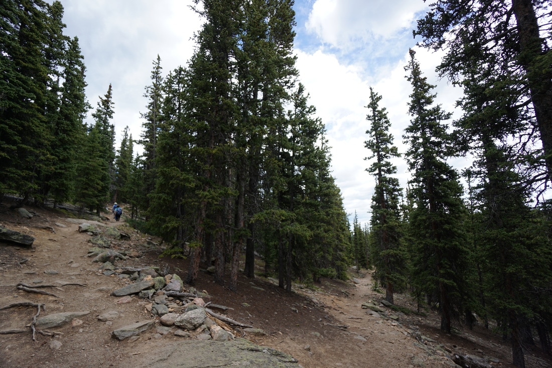
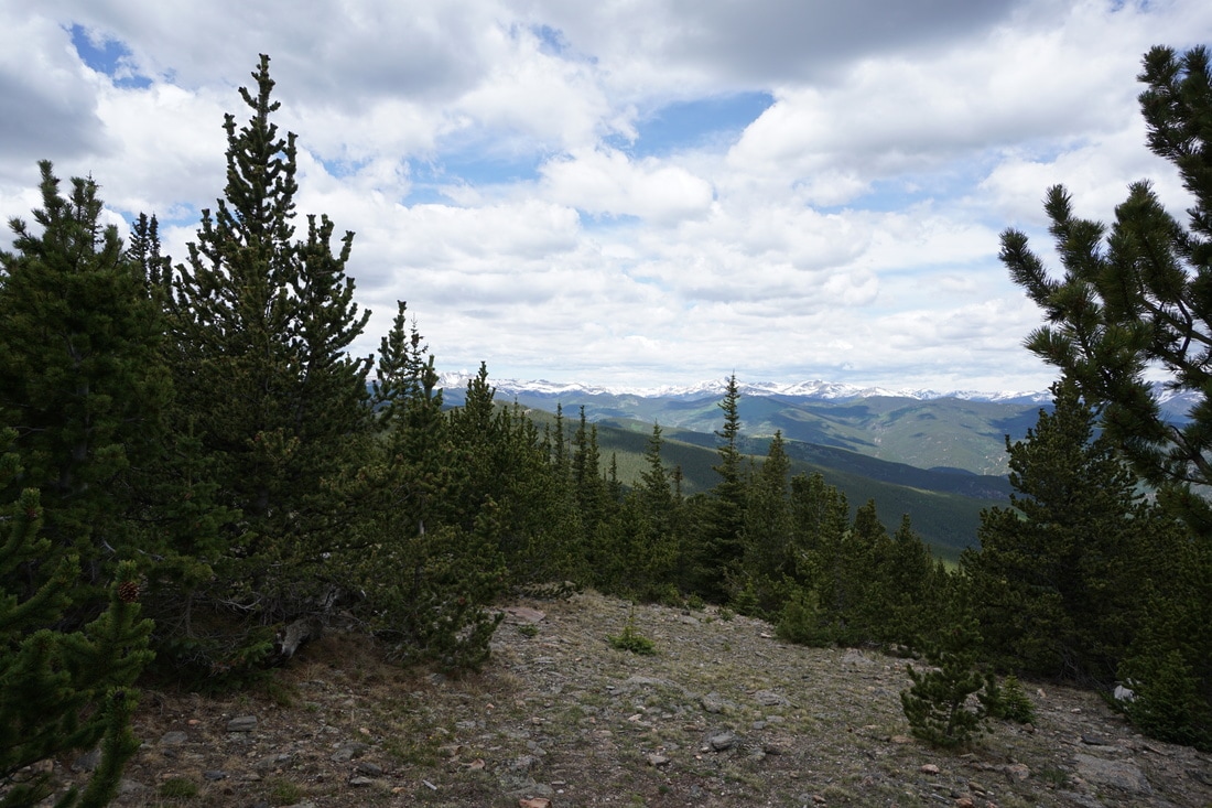
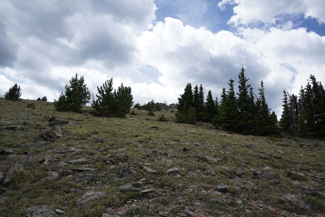
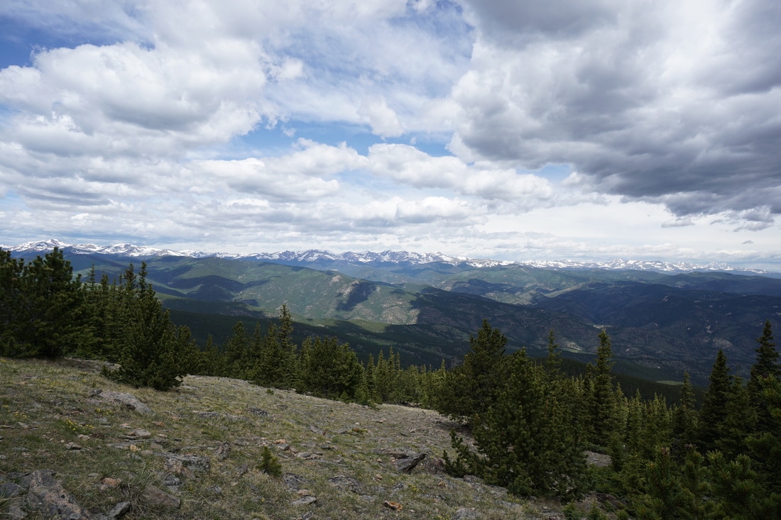
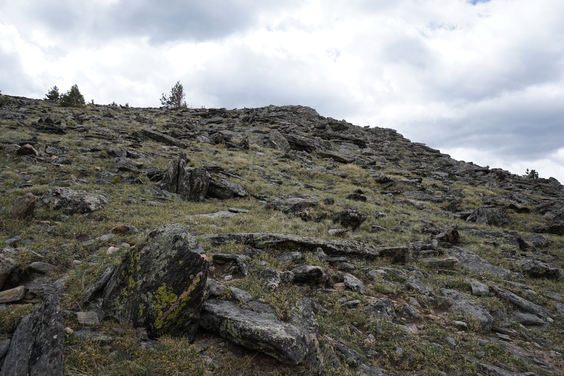
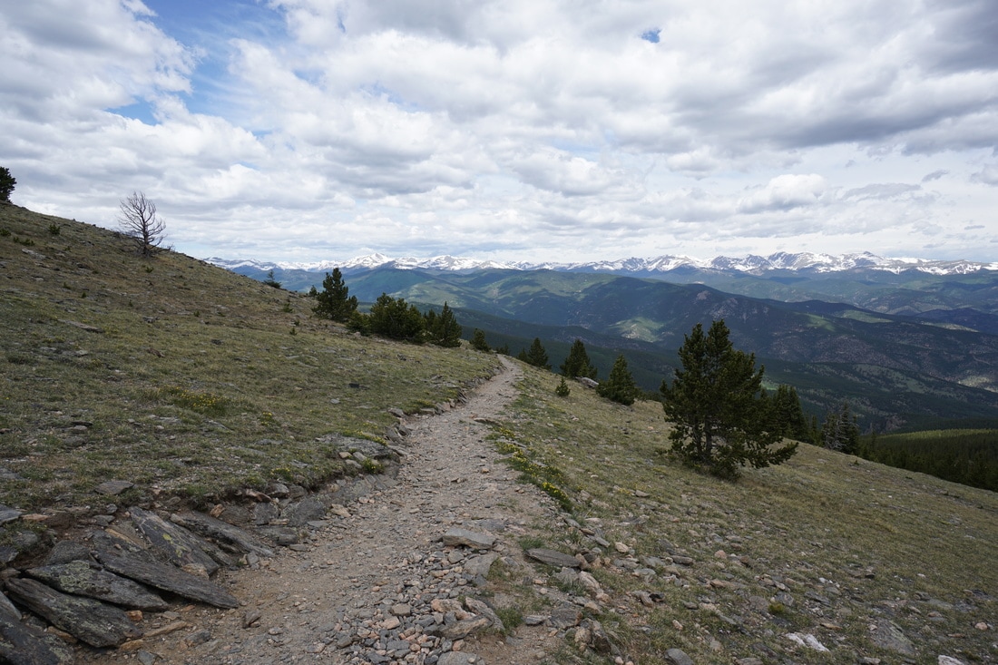
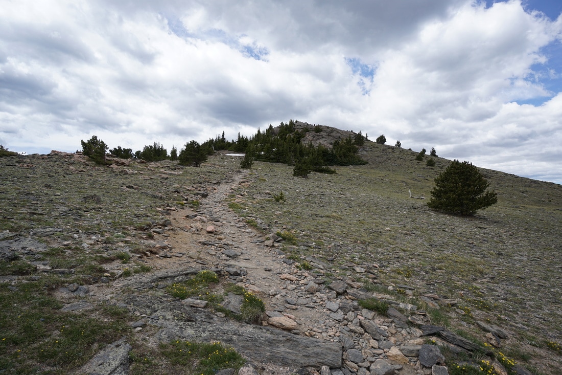
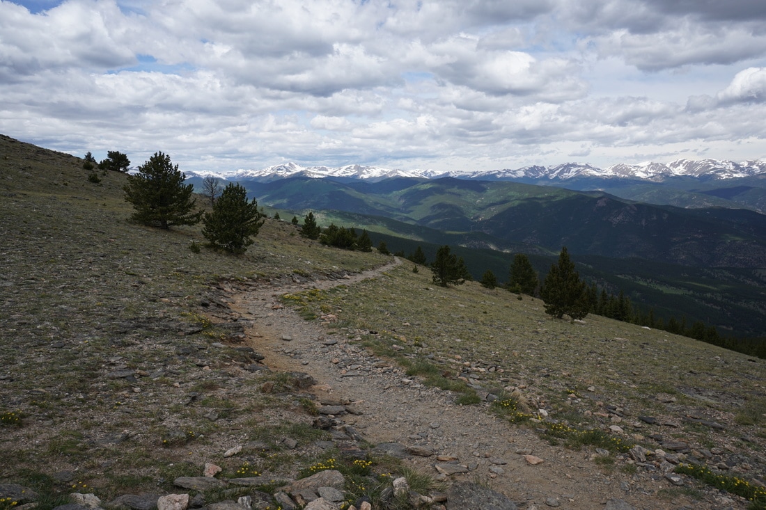
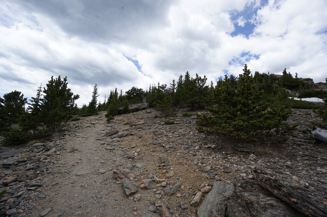
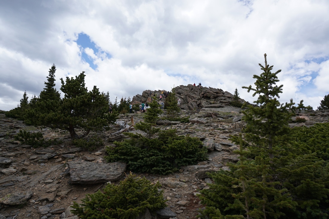
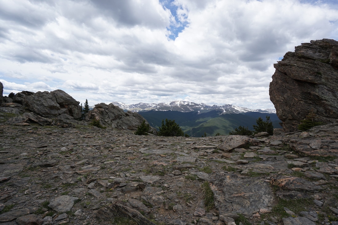
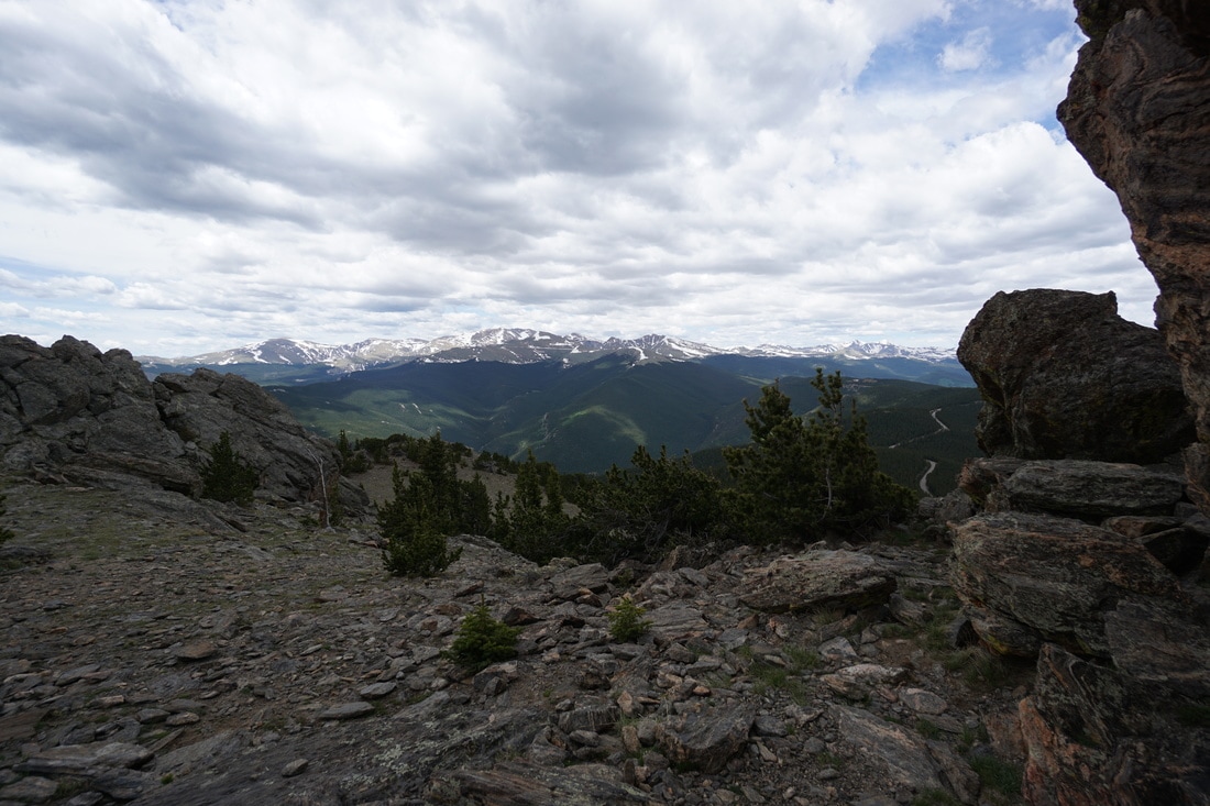
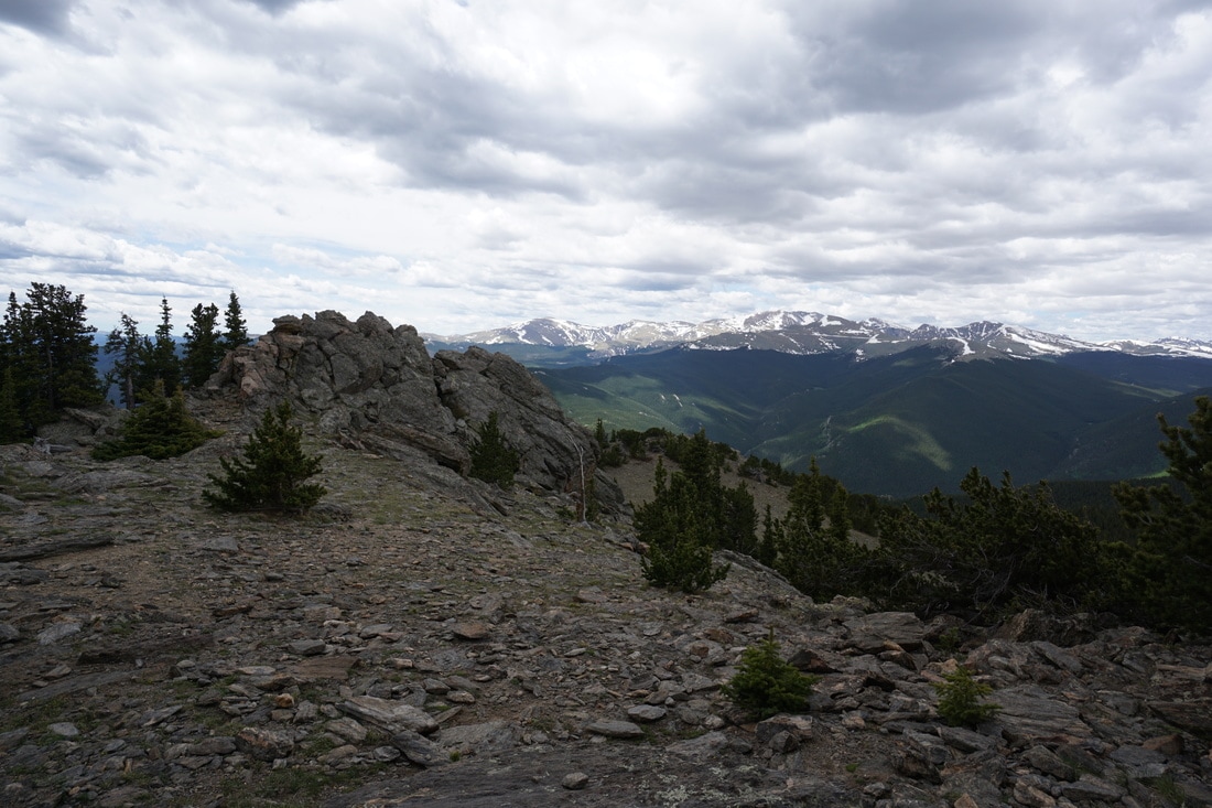
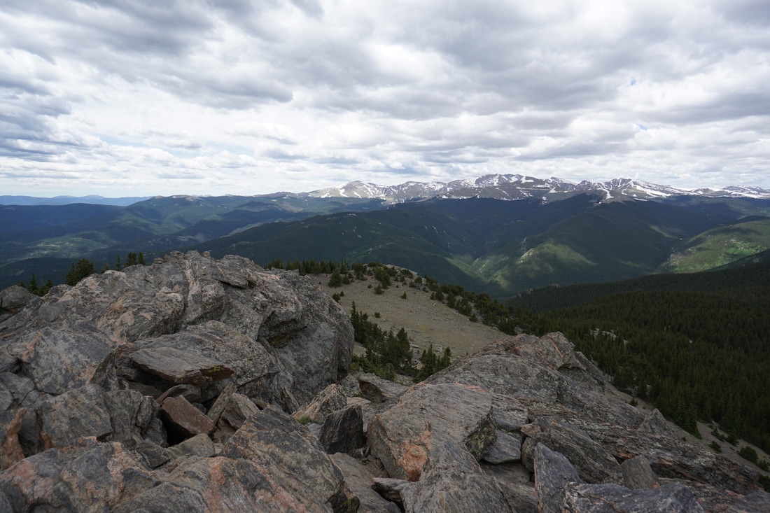
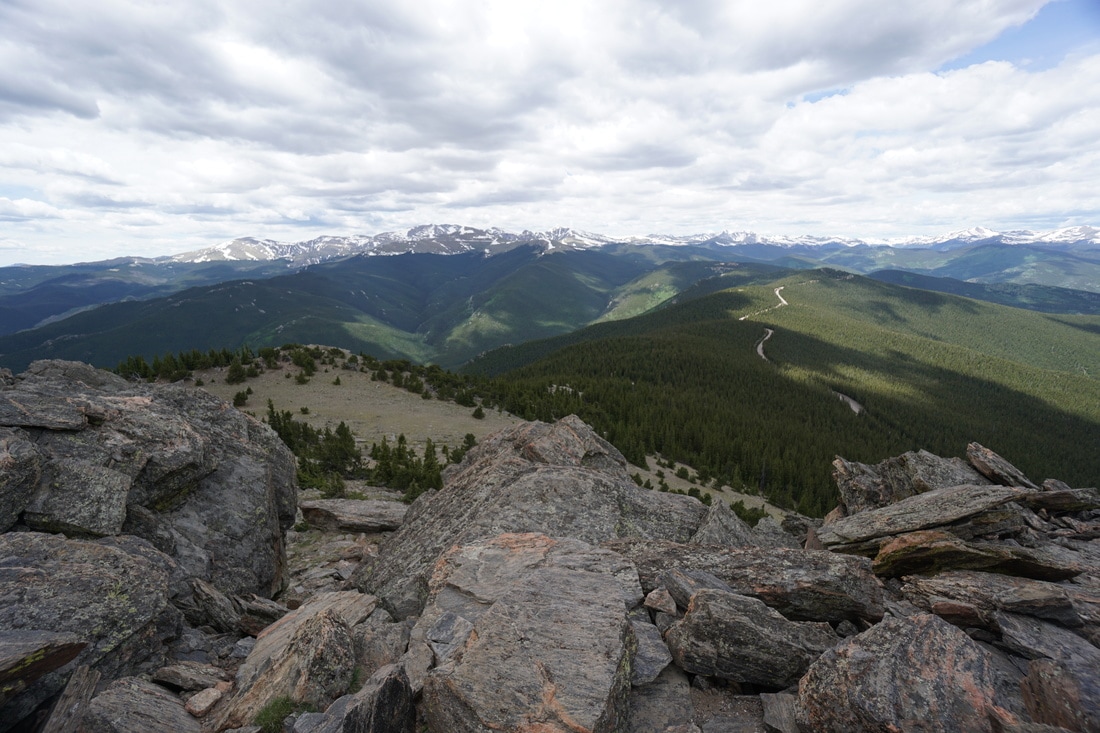
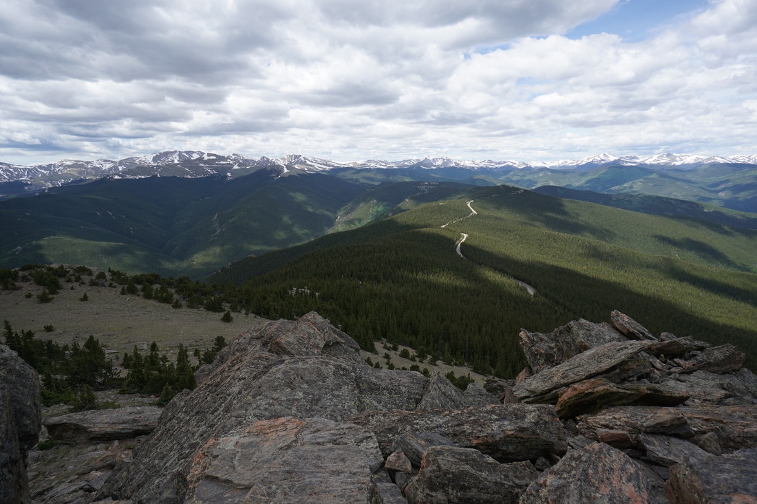
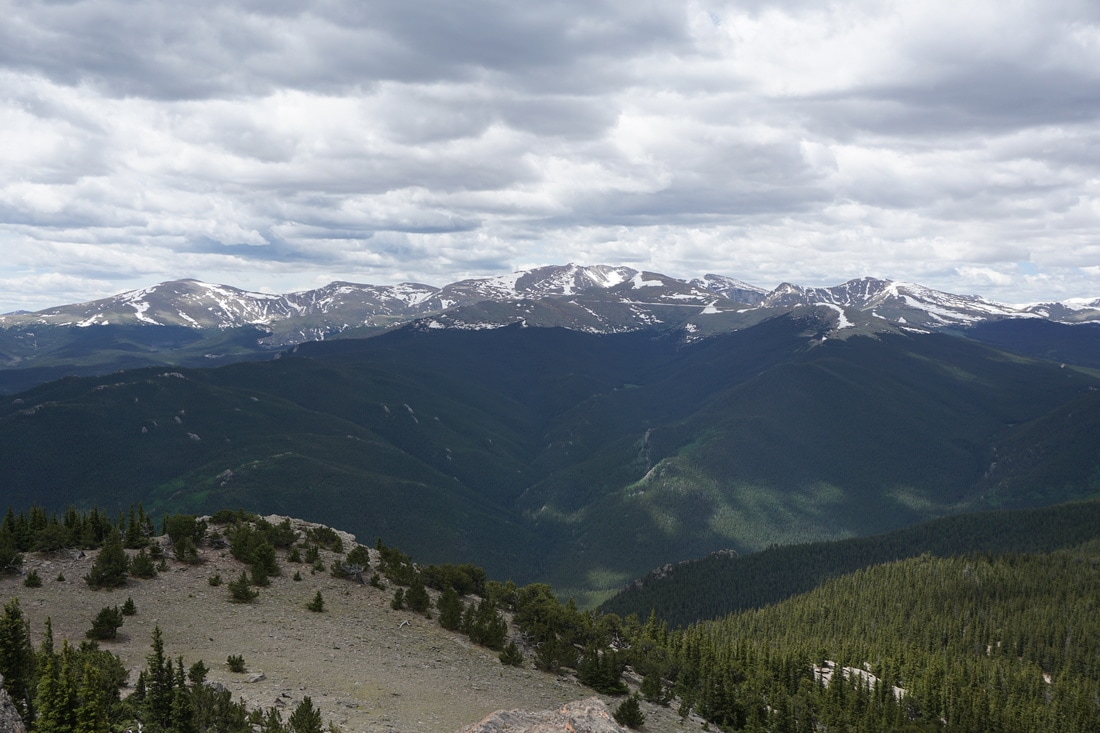
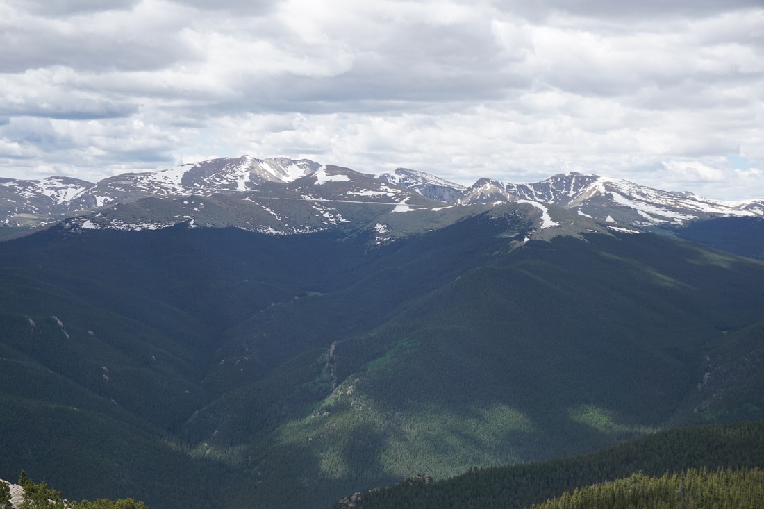
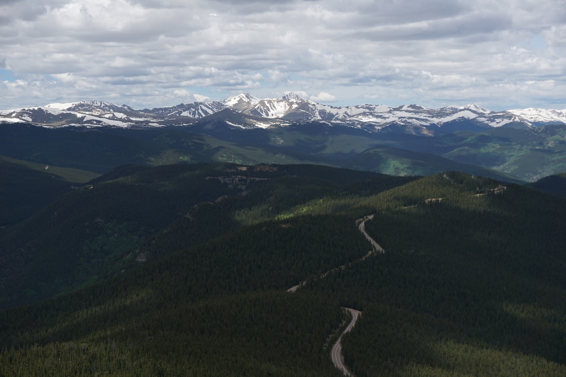
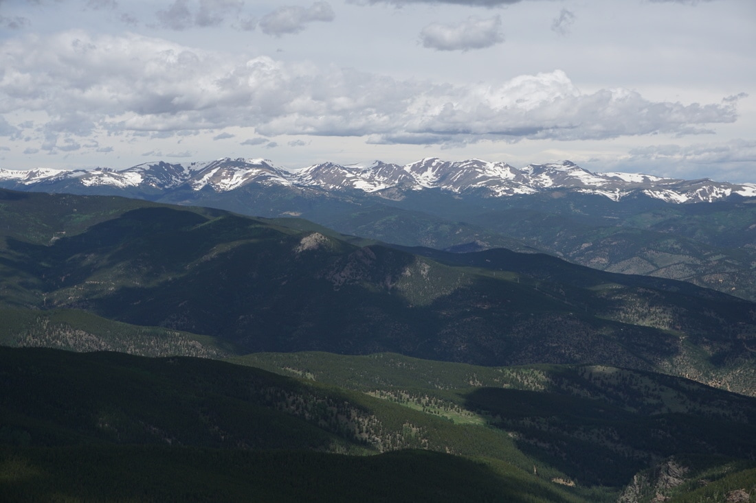
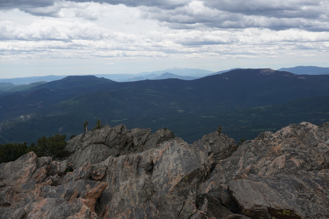
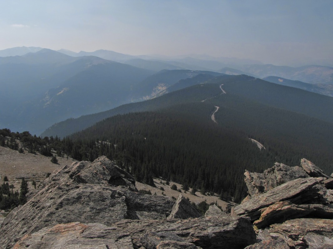
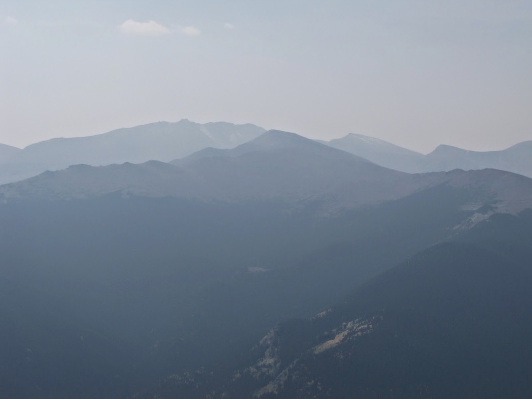
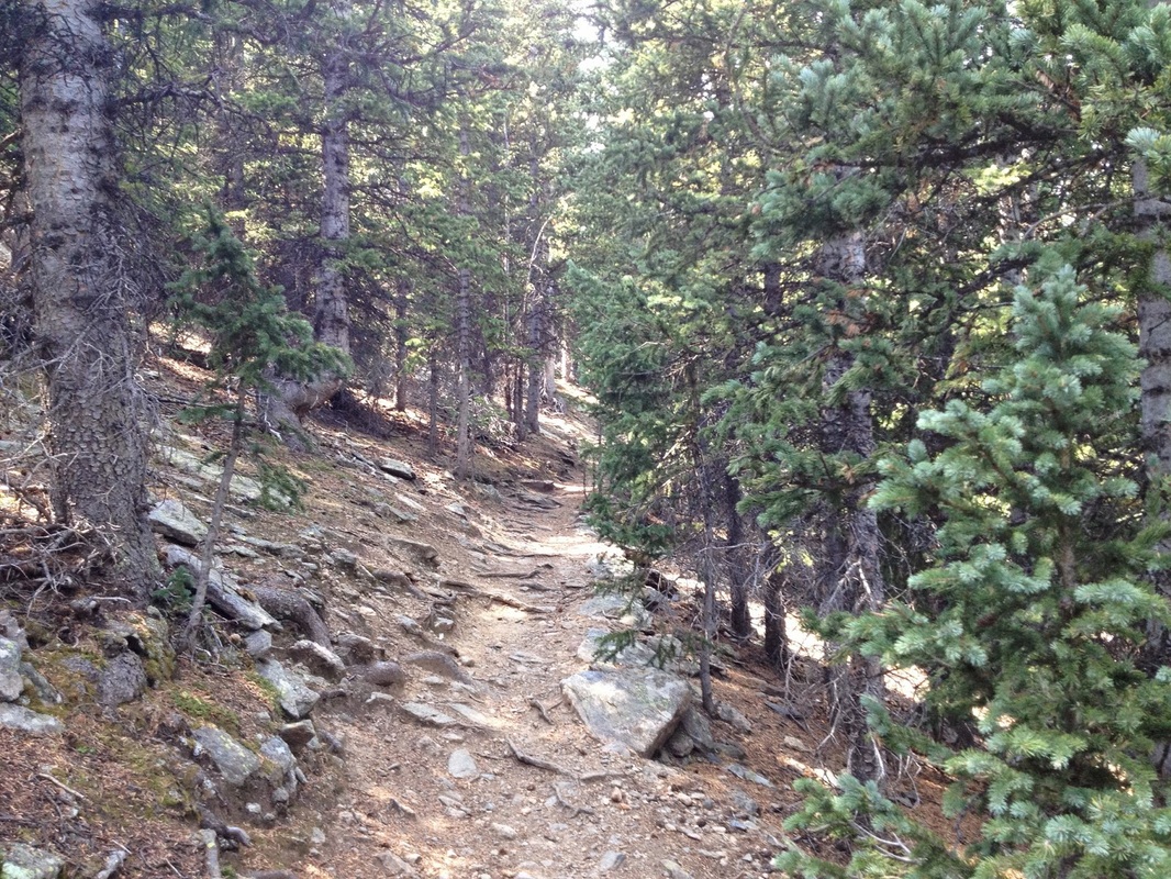
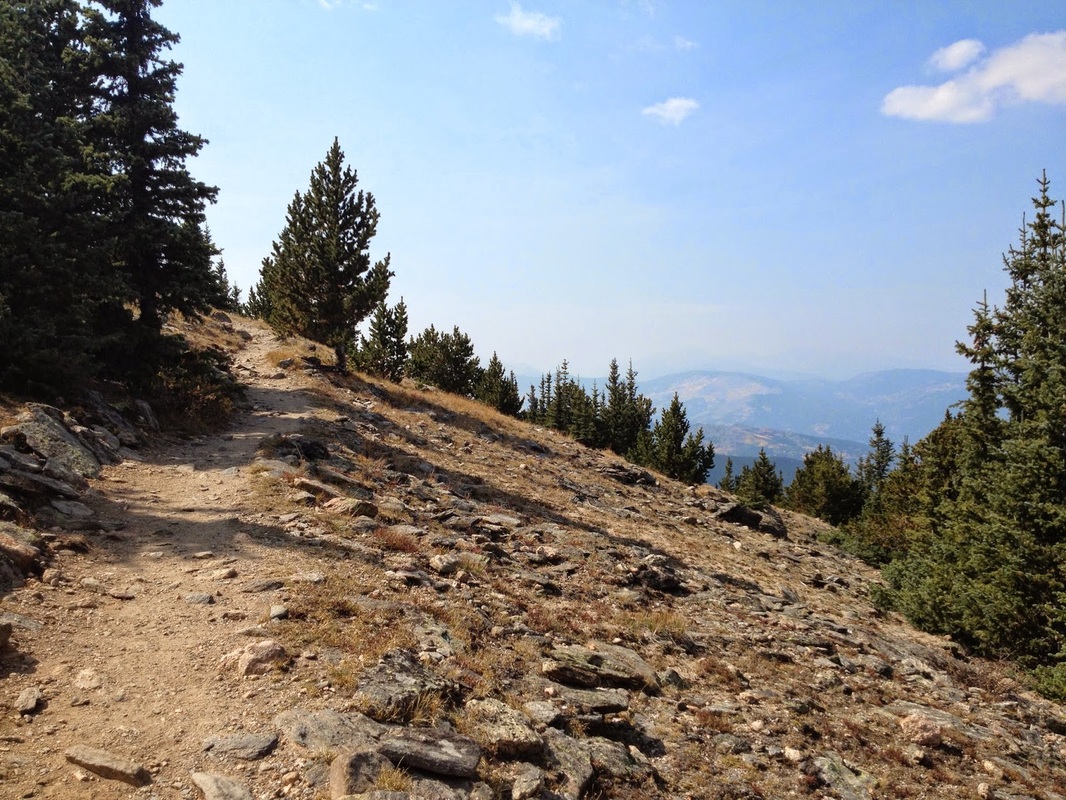
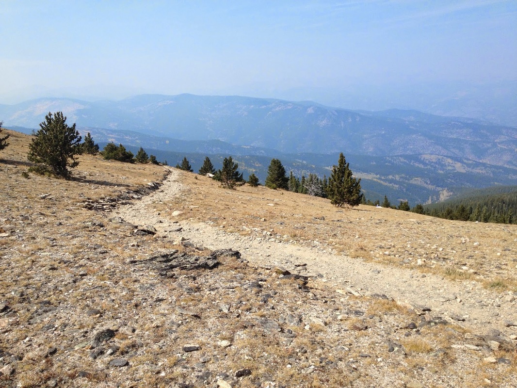
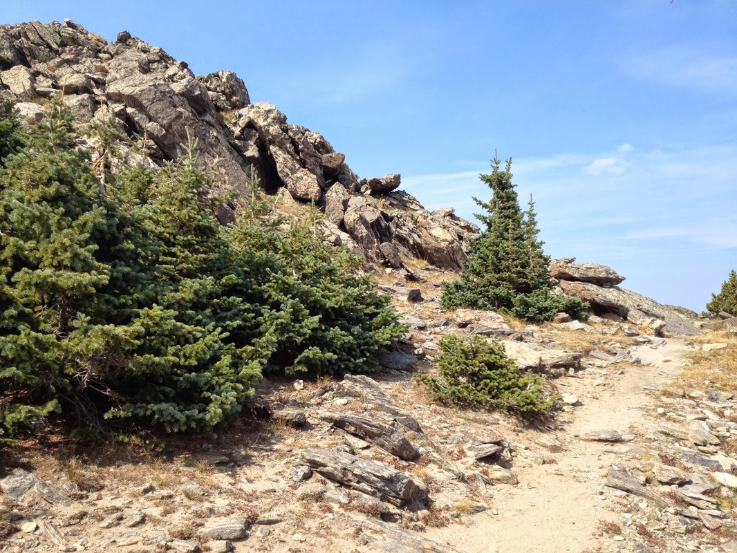
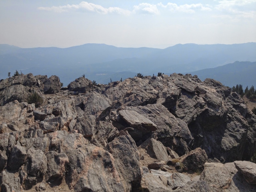
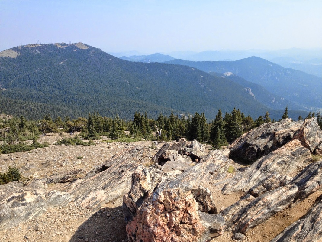
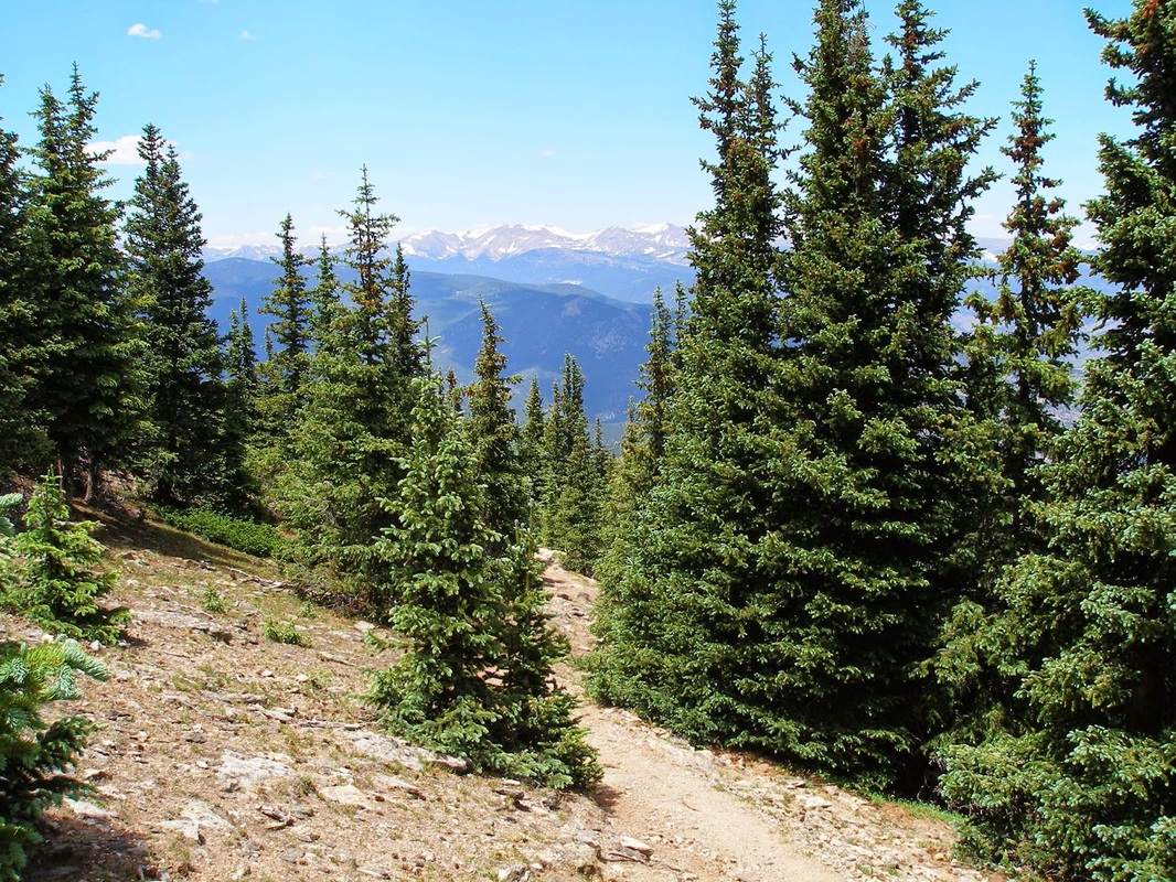
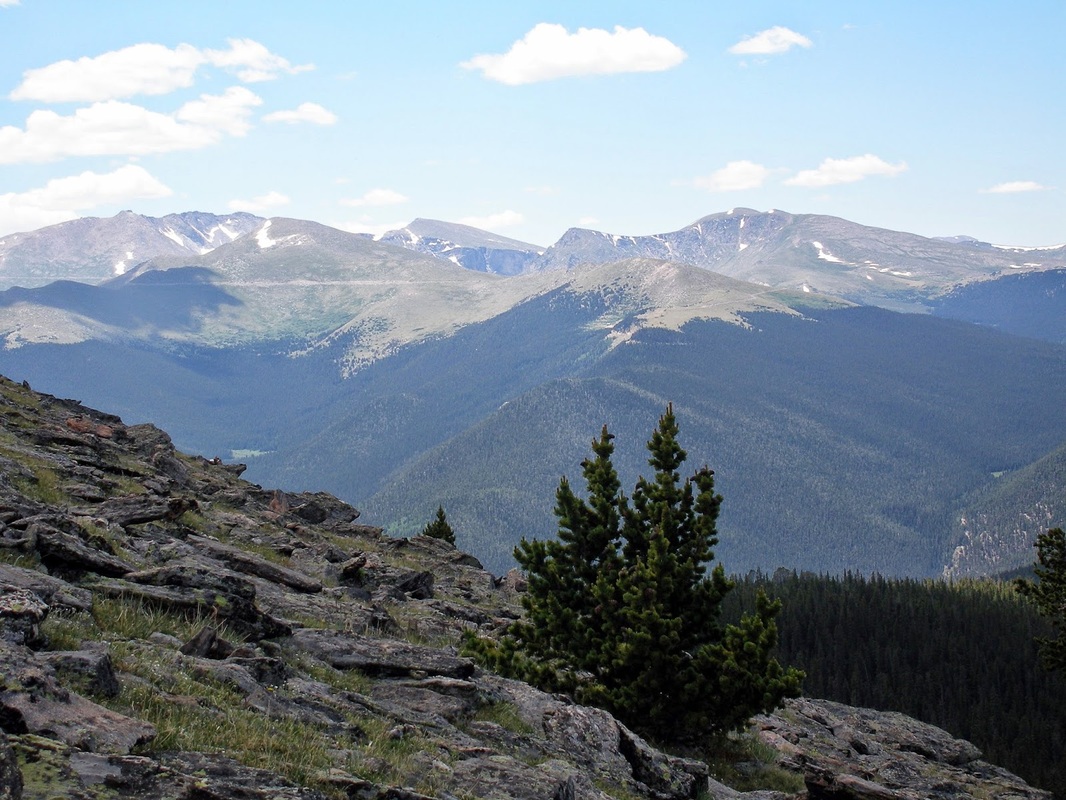
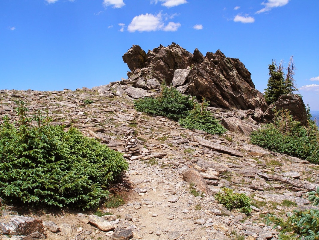
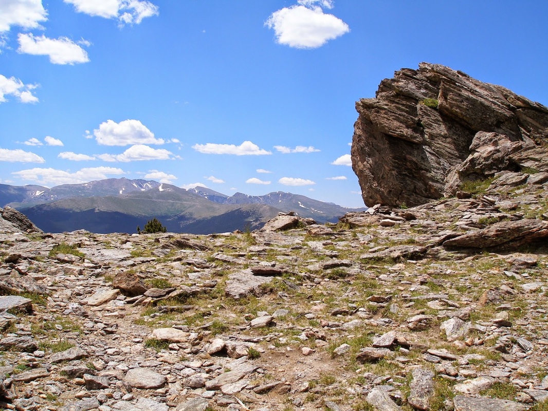
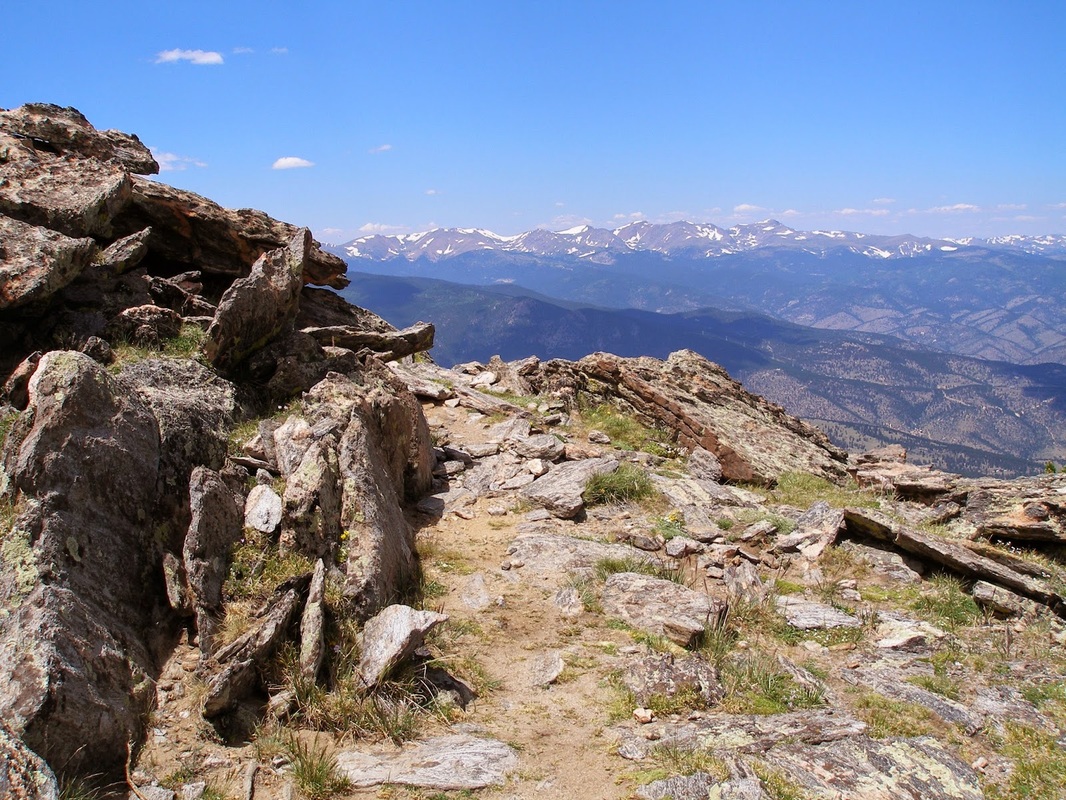
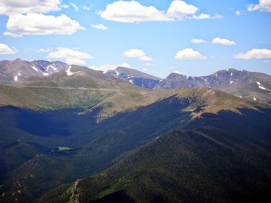
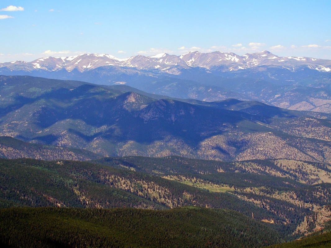
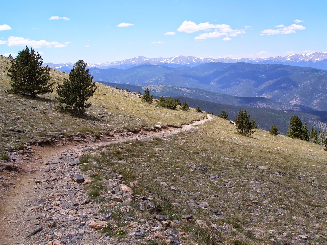
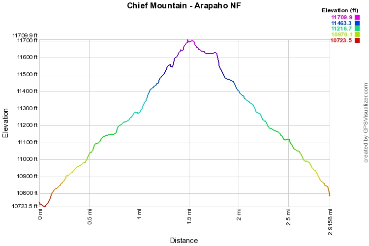
This is a great beginners summit hike.  It is reasonably steep, you gain 1,000 ft in just 1.5 miles, but the trail is easy to follow, breaks tree line, and leads right to a rocky alpine summit.  From the summit the views are endless.  You can see all the front range Fourteeners (Pikes is just visible if the sky is really clear) but Mount Evans is the main attraction.  Looking back to the east you get an up close view of Squaw Mountain.  
The trail starts through the forest and switchbacks up until you reach Old Squaw Pass Road.  Cross the road and continue uphill, do not turn.  Before too long the trees get shorter and you breaks out above treeline.  The switchbacks continue all the way up to the summit.  The quality of the hike and the view vastly outweigh the effort, enjoy!

A word of caution, this hike is very popular on summer weekends. It is best to hike in the early morning or on weekdays.  

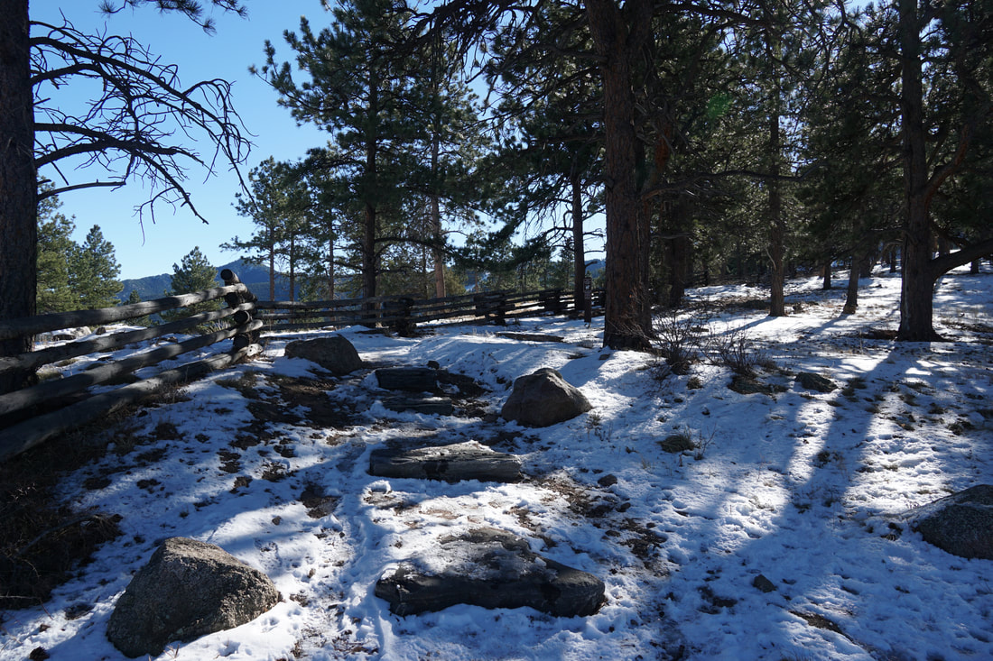
Photos from previous hikes:

Powered by Create your own unique website with customizable templates.