GO HIKE COLORADO
Get in Touch:
  • HOME
  • ABOUT
  • HIKES BY REGION
    • DENVER AREA >
      • Denver Mountain Parks
      • Jefferson County Open Space
      • Lakewood Parks
      • Denver Area Greenways
    • BOULDER AREA
    • DOUGLAS COUNTY
    • FORT COLLINS AREA
    • COLORADO SPRINGS AREA
    • FRONT RANGE
    • TENMILE & MOSQUITO RANGES
    • GORE RANGE
    • SANGRE DE CRISTO MOUNTAINS
    • PARK RANGE
    • SAWATCH RANGE
    • ELK MOUNTAINS
    • SAN JUAN MOUNTAINS
    • THE FLAT TOPS
    • GRAND MESA
    • COLORADO PLATEAU
    • EASTERN PLAINS
  • NATIONAL PARK HIKES
    • BENT'S OLD FORT NATIONAL HISTORIC SITE
    • BLACK CANYON OF THE GUNNISON NATIONAL PARK
    • COLORADO NATIONAL MONUMENT
    • CURECANTI NATIONAL RECREATION AREA
    • DINOSAUR NATIONAL MONUMENT
    • FLORISSANT FOSSIL BEDS NATIONAL MONUMENT
    • MESA VERDE NATIONAL PARK
    • ROCKY MOUNTAIN NATIONAL PARK
    • GREAT SAND DUNES NATIONAL PARK
    • HOVENWEEP NATIONAL MONUMENT
    • SAND CREEK MASSACRE NATIONAL HISTORIC SITE
    • YUCCA HOUSE NATIONAL MONUMENT
  • HIKES BY CATEGORY
    • HIKES TO ALPINE LAKES
    • HIKES TO PEAKS & PASSES
    • HIKES THROUGH CANYONS
    • HIKES WITH FALL COLORS
    • HIKES ALONG THE I-70 CORRIDOR
    • HIKES ON PAVED TRAILS
    • HIKES FOR KIDS
    • HIKES TO WATERFALLS
    • HIKES ALONG RIVERS
    • HIKES WITH ROCK FORMATIONS
    • HIKES WITH WILDFLOWERS
    • WINTER HIKES
  • NEWS
  • WEBCAMS
  • $UPPORT GHC
  • INTERACTIVE MAP

Quandary Peak 14,256ft
White River National Forest

Date Hiked: June 8, 2012 

​Distance: 6.7 mi (RT)
Elevation Gain: 3,500ft
Elevation Min/Max: 10,899 to 14,265ft
Trailhead Lat/Long:39.384345º N; 106.062215º W
Managing Agency: U.S. Forest Service
Fee: None

Quandary Peak Trail Webpage (USFS)
Picture

Directions:  From Breckenridge head South on Hwy-9 through the small town of Blue River.  Look off to the right and you'll soon see Quandary rising above the road.  Also, you'll see a sign pointing to the trailhead.  Make a right on Blue Lakes Rd and a quick right up to the Quandary trailhead.  Parking for Quandary Peak requires a reservation, please visit: www.parkquandary.com

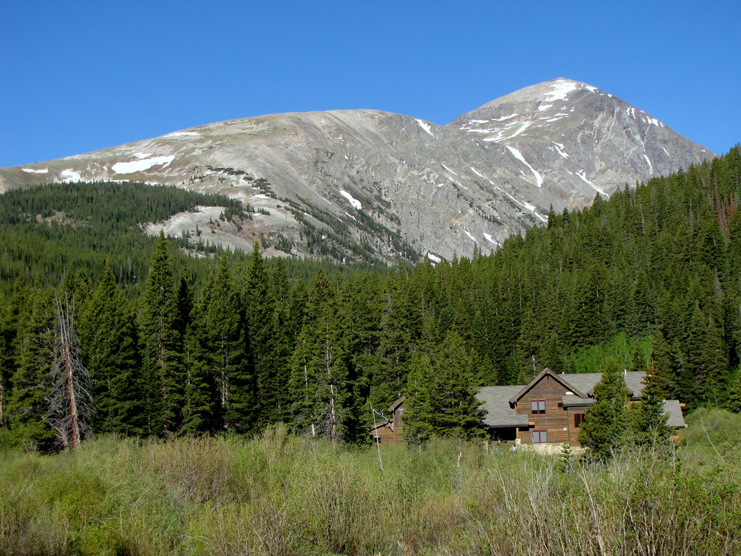
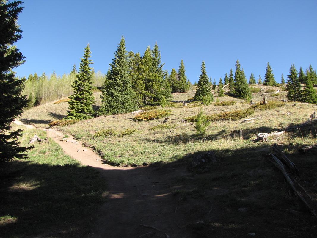
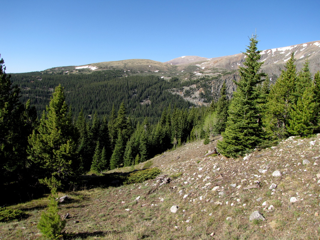
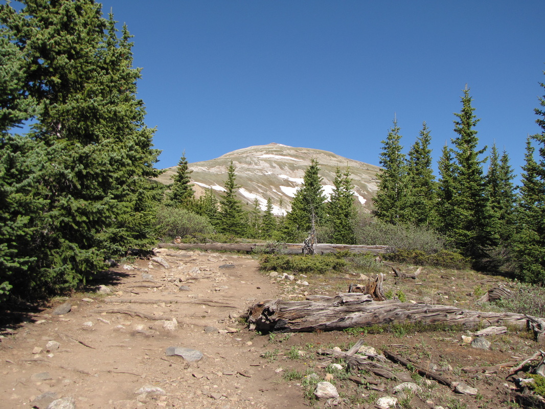
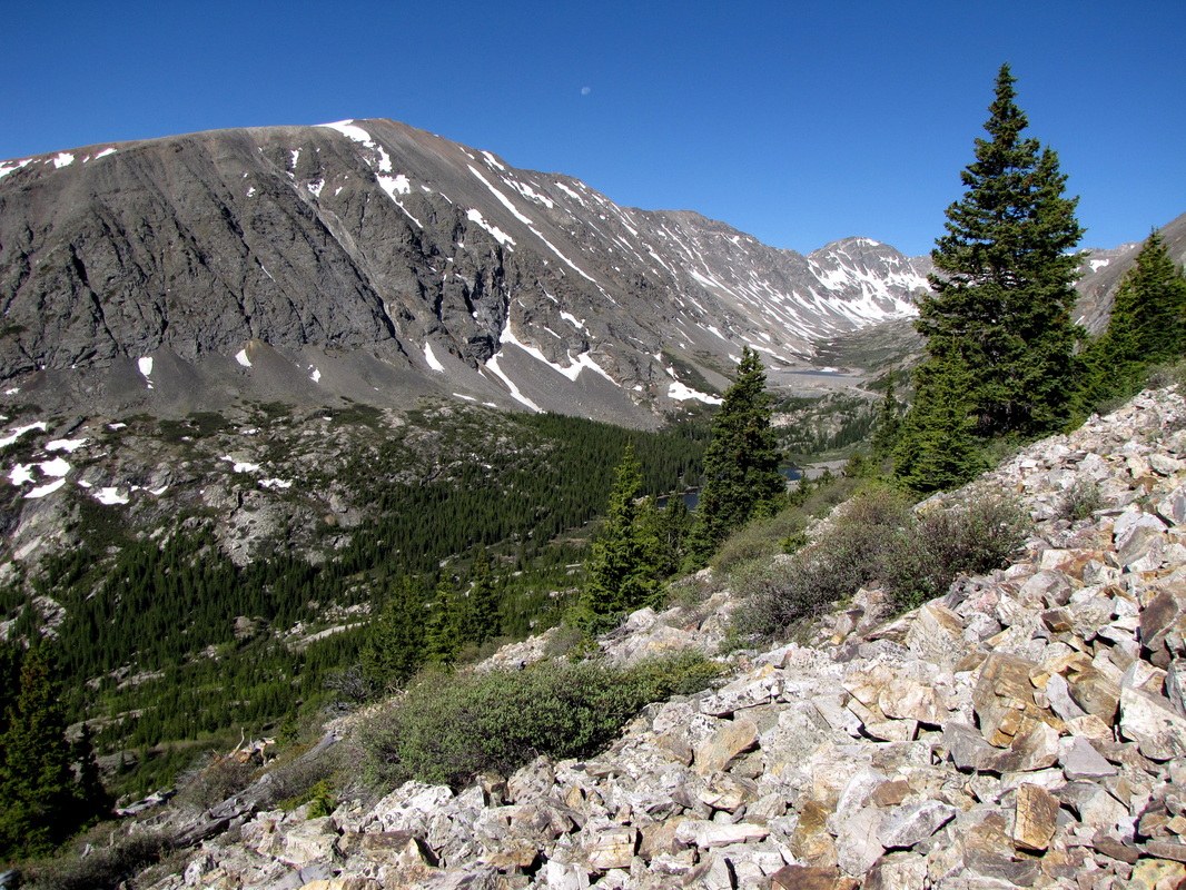
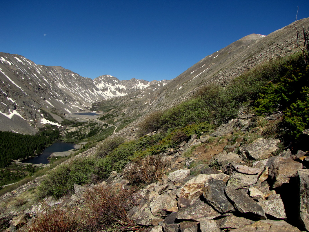
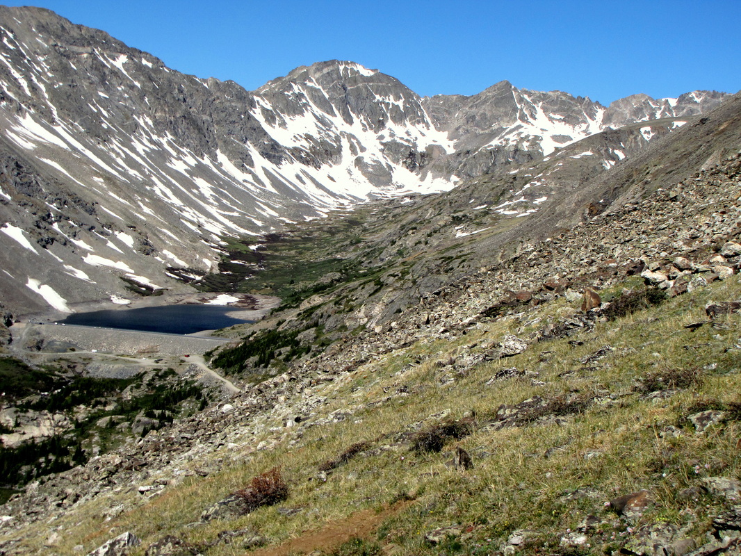
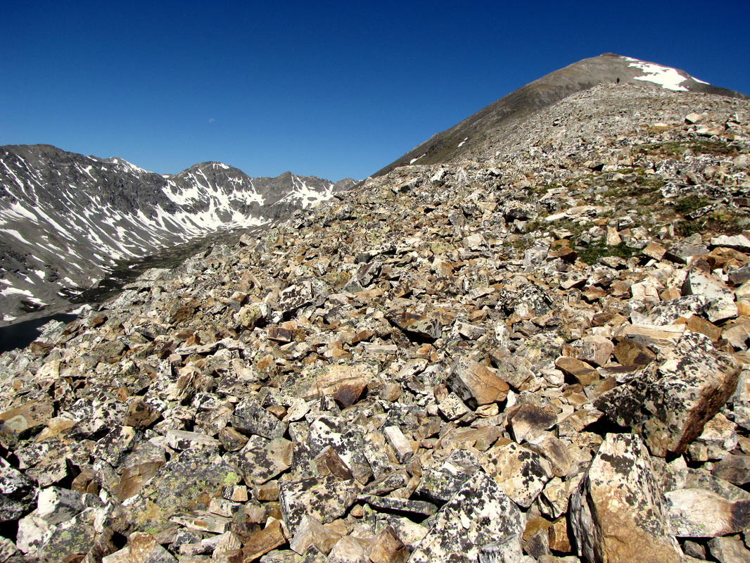
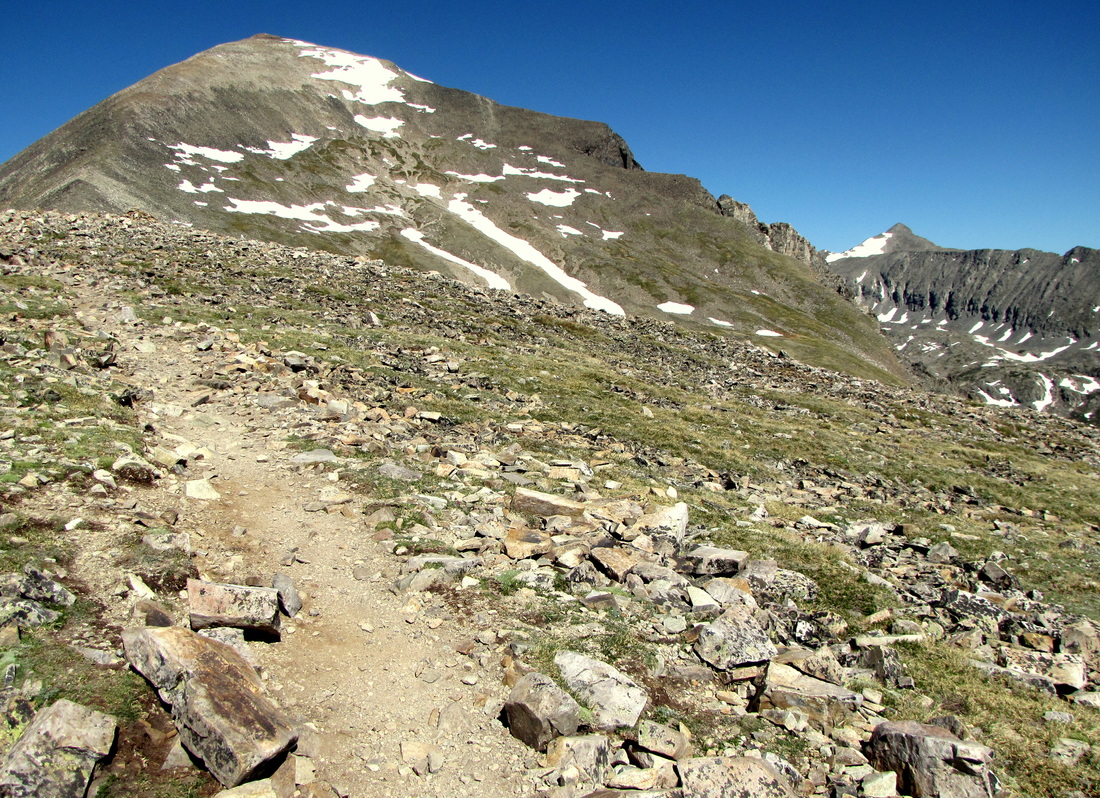
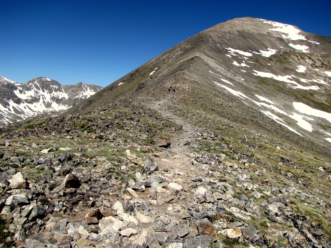
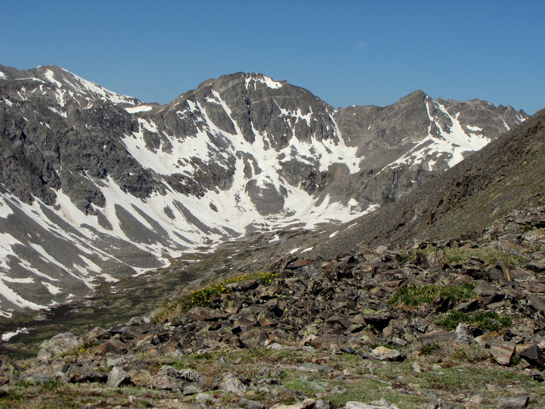
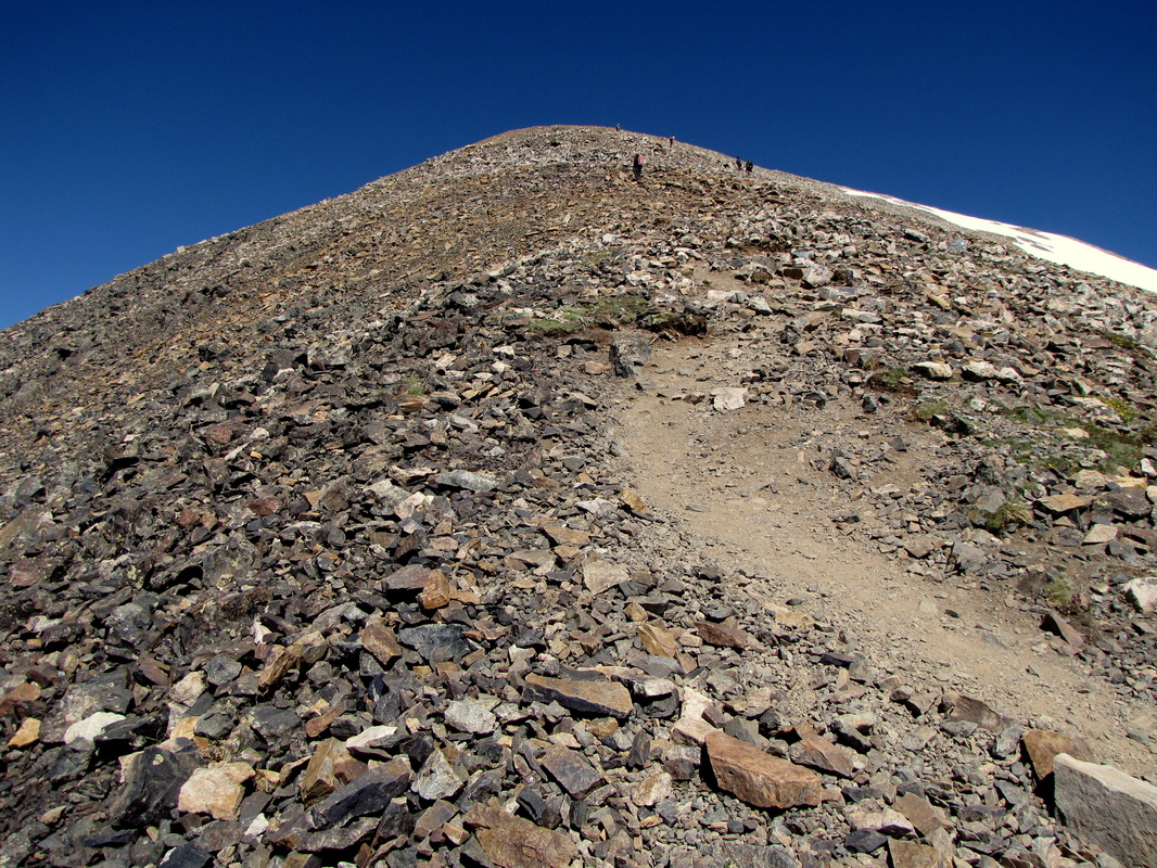
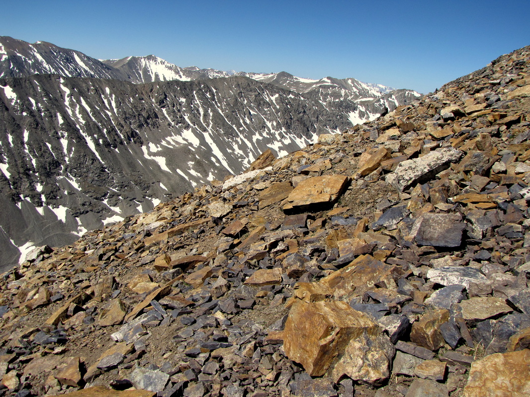
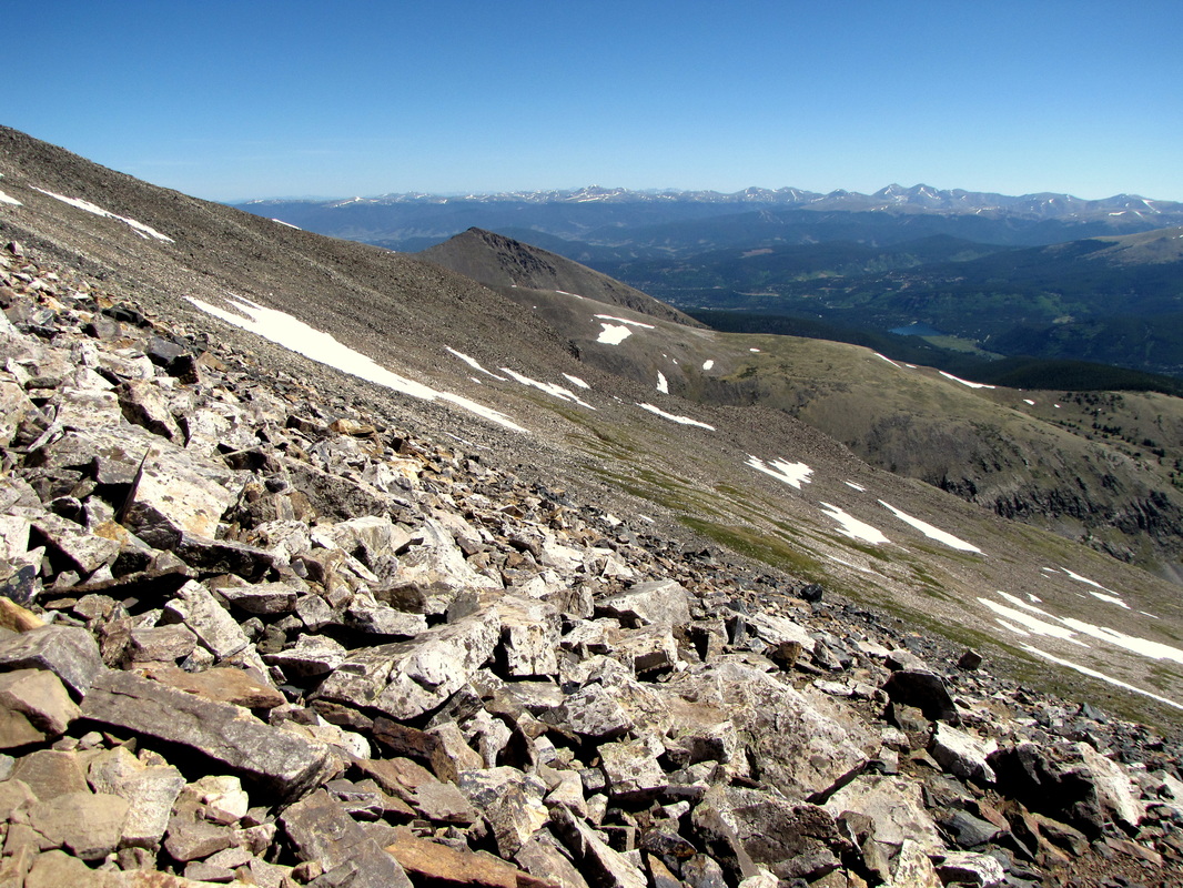
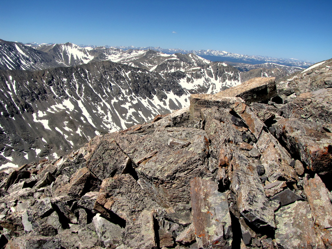
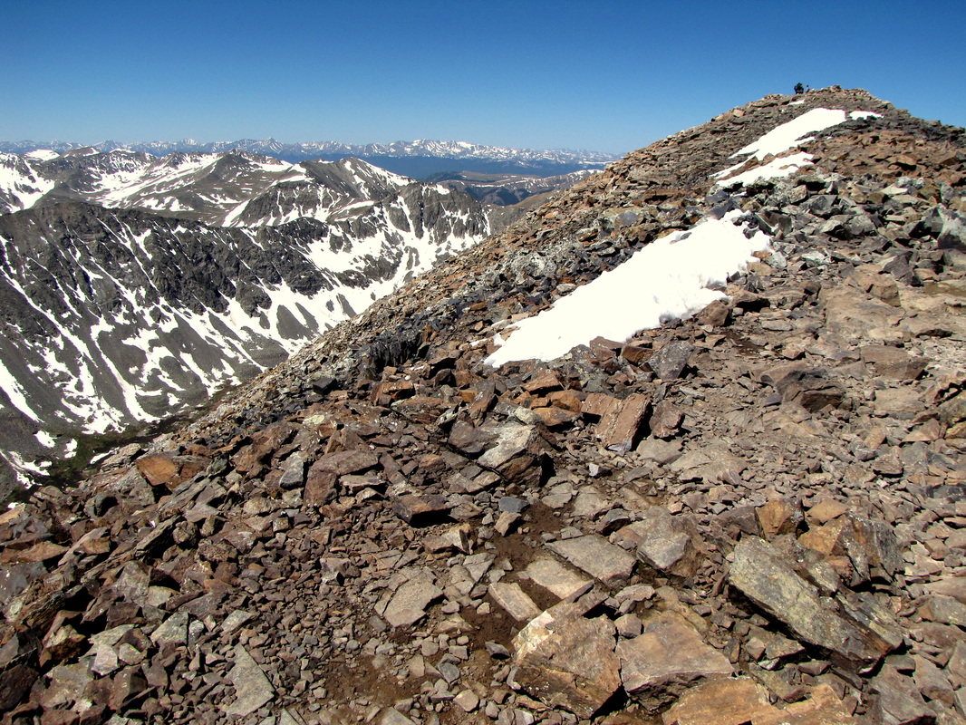
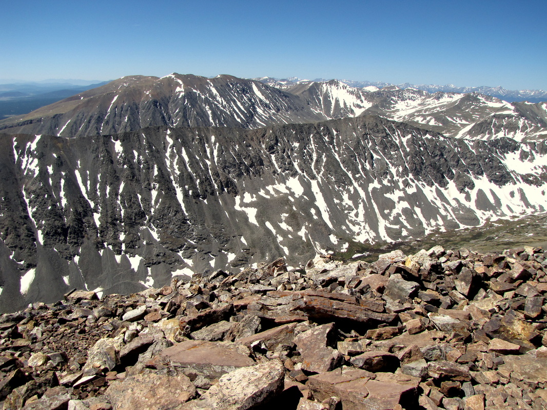
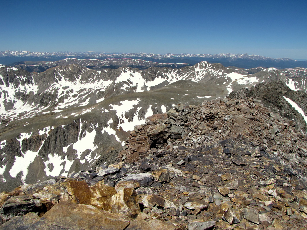
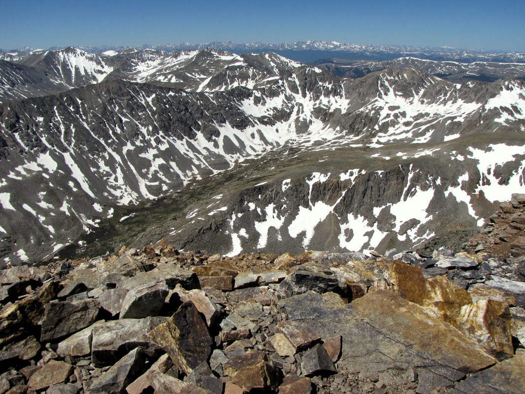
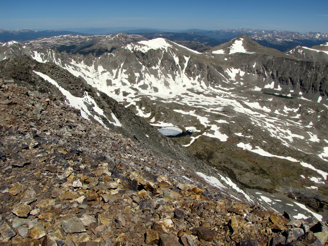
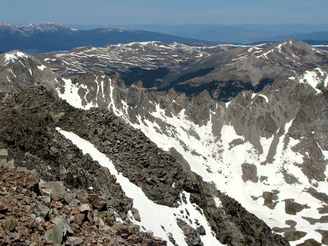
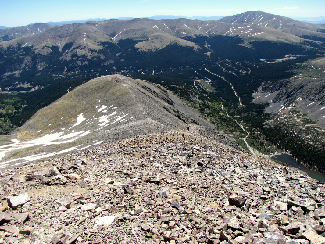
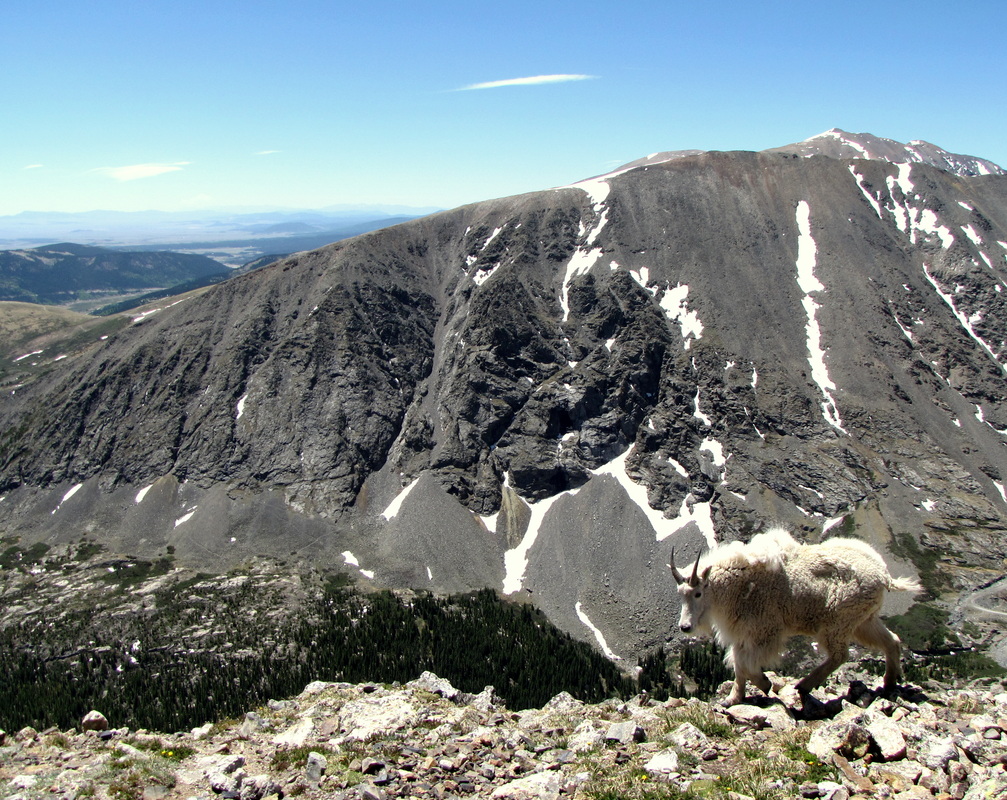
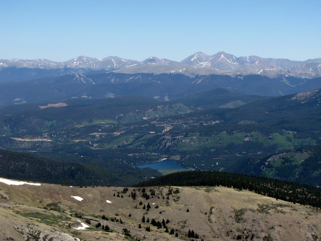
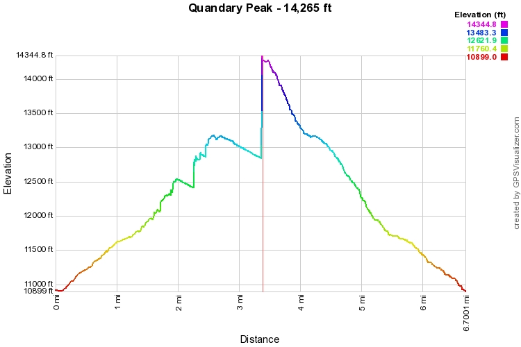
For a detailed description of routes with photos and statistics and more information that you could ever want, please visit the good people at 14ers.com.

Quandary is one of the easier 14ers, but it is a strenuous ramp up 3,500 feet straight to the peak.  The scenery is amazing, the view is amazing, everything about this hike is amazing.  I hiked it after a particularly dry winter and had zero snow in early June, this was an anomaly.  That being said, I've heard that Quandary is a great 14er to tackle during the winter.  The trail itself is easy to follow there is good track and cairns to lead the way.  The views to the south include fellow 14ers Lincoln, Democrat, Bross, Cameron, and Sherman, as well as a good view down into South Park.  To the North you can see Grays and Torrey's Peaks.  You can look down onto Mt. Fletcher, Atlantic Peak, and the sawtooth ridge above Mayflower Gulch, I could go on and on, but the view does that already...

Like all 14ers this hike is a true Colorado Alpine Adventure, plus, you can be back in Denver by diner time.

Powered by Create your own unique website with customizable templates.