|
|
|
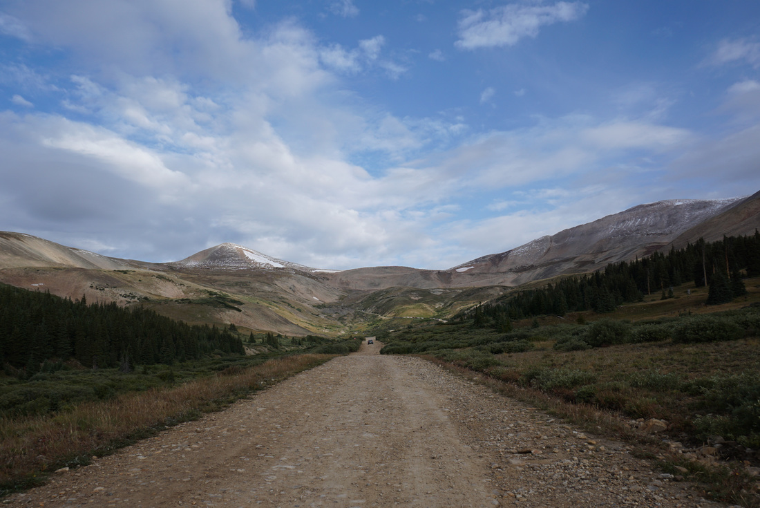
Directions: From Fairplay take US 285 south for 1 mile and turn right (north) on CO Road 18. The road starts out paved but soon turns to good dirt. Follow the road for 10 miles to the Leavick Mine Site. After the mine the road gets rockier and narrower but most cars should be able to navigate the road; an SUV, Jeep, or Truck would be ideal. You can continue up the road for about 2 miles to the gate and a little past the gate to the Dauntless Mine if you have four wheel drive.
As usual, please visit www.14ers.com for the best info and trail descriptions for Mount Sherman (or any other 14er for that matter.
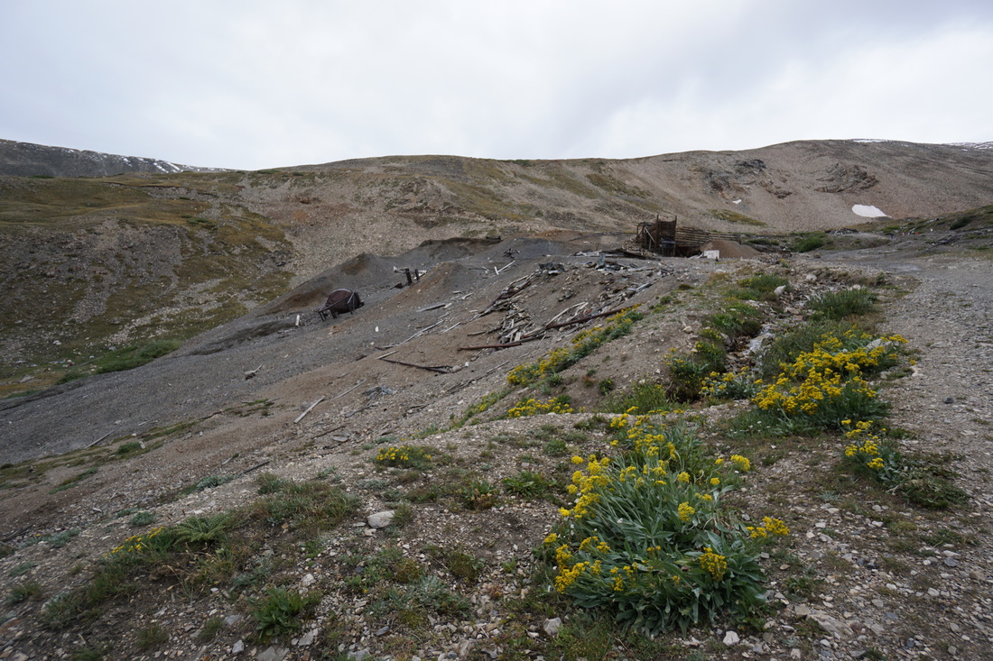
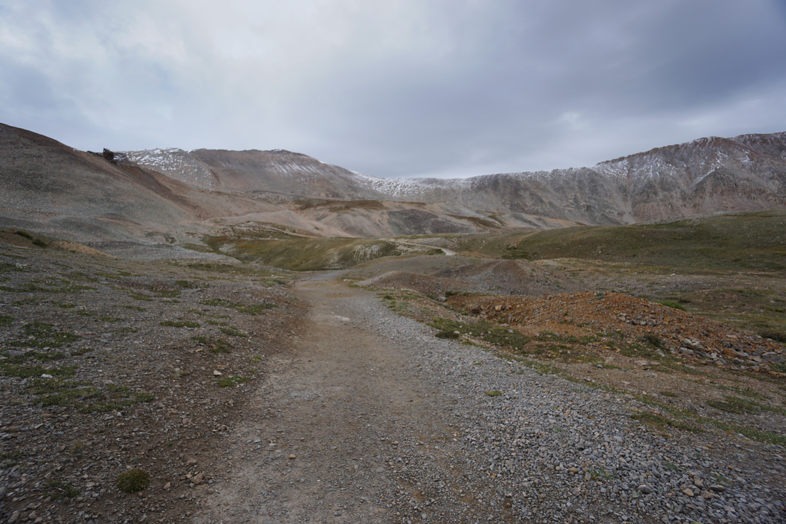
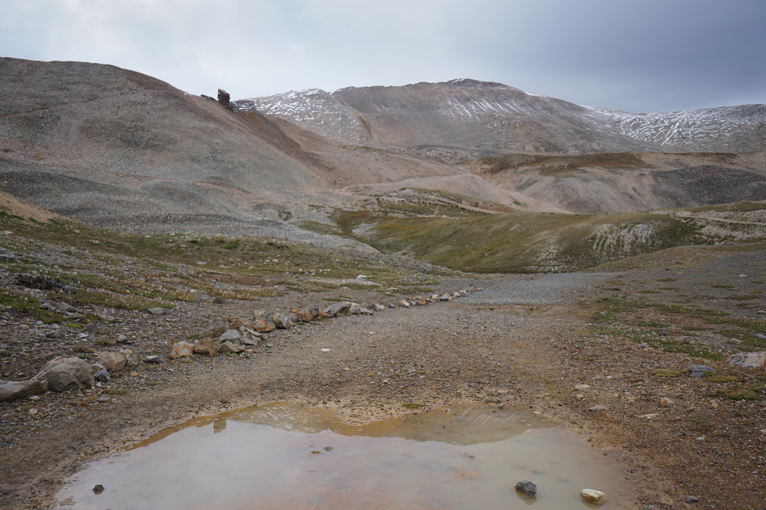
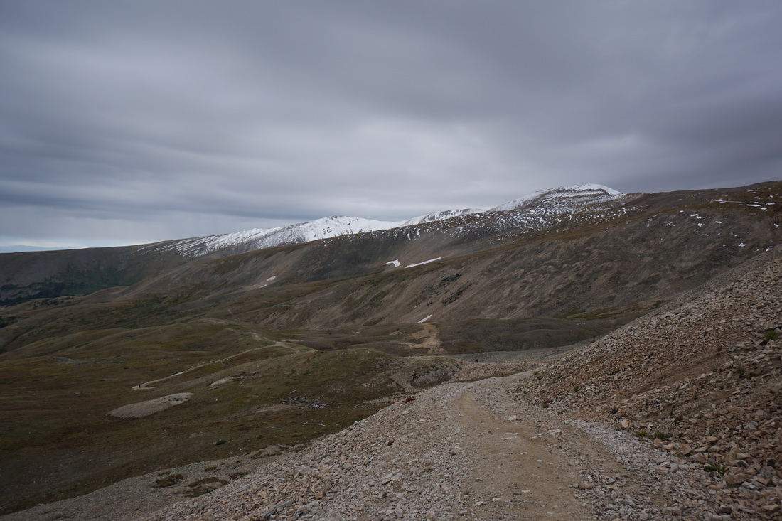
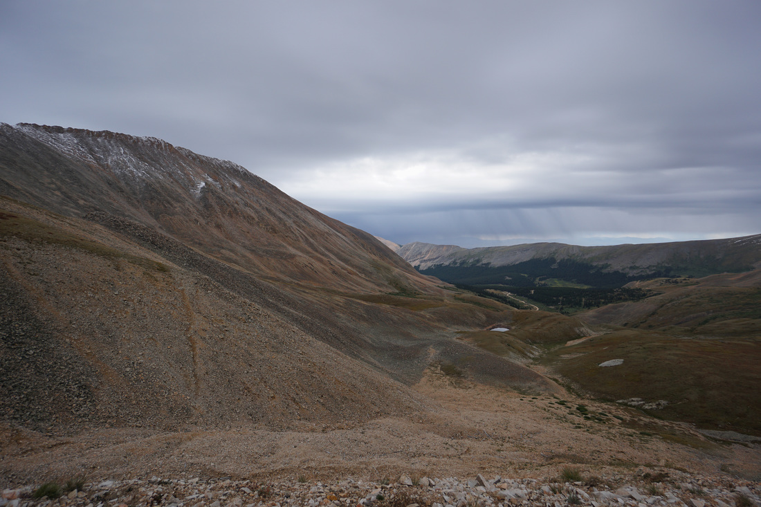
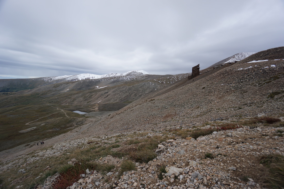
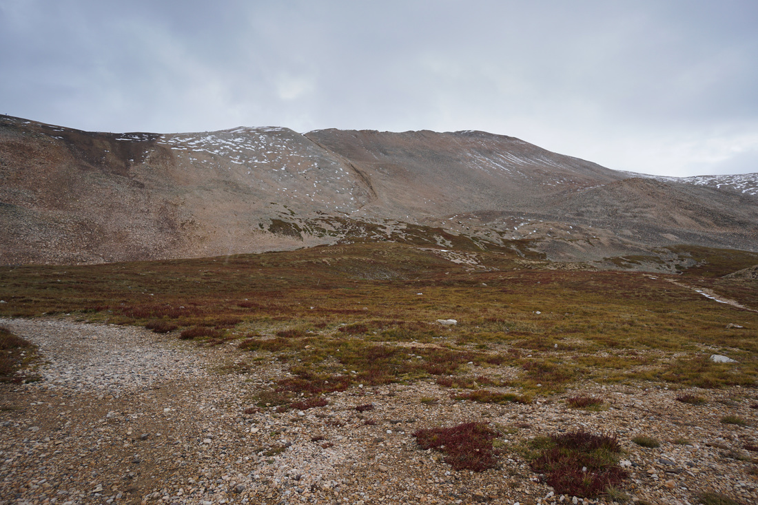
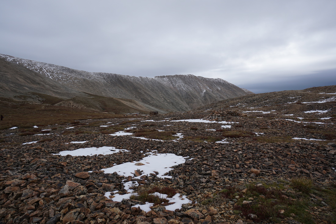
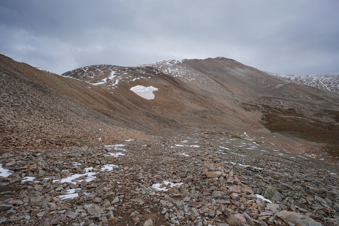
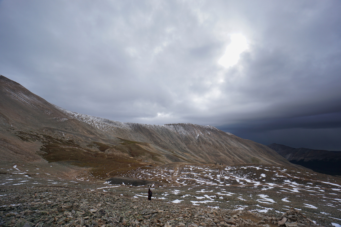
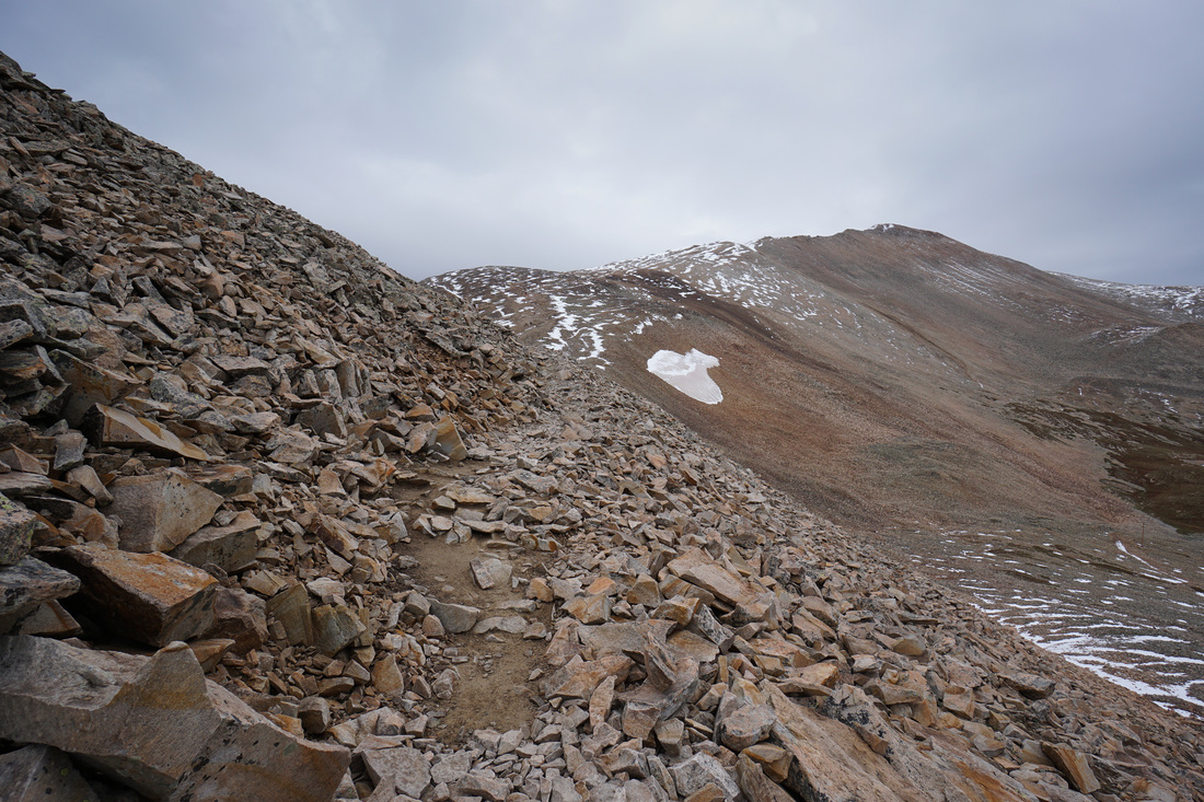
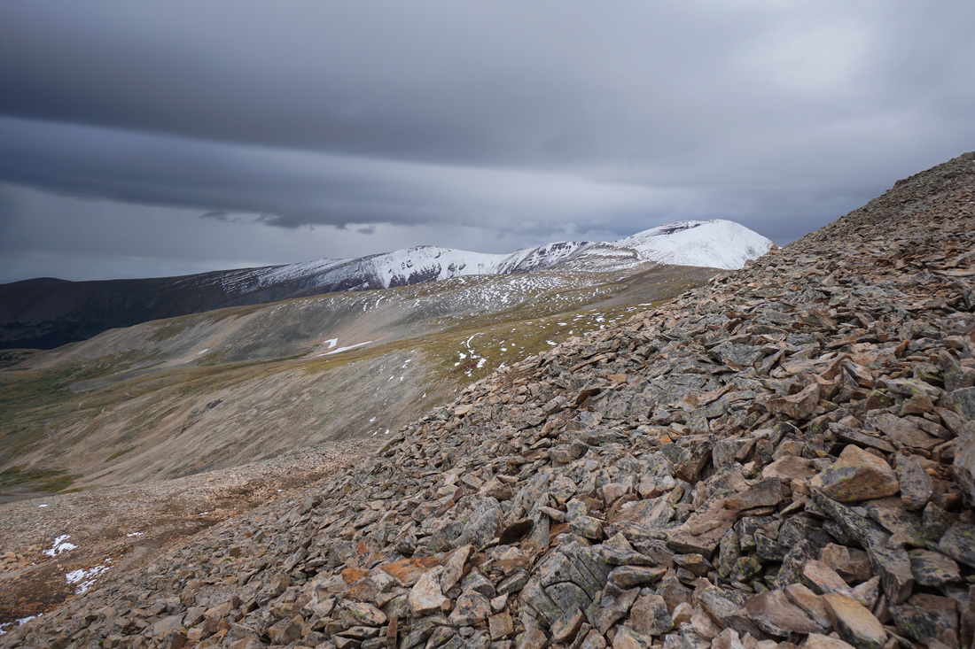
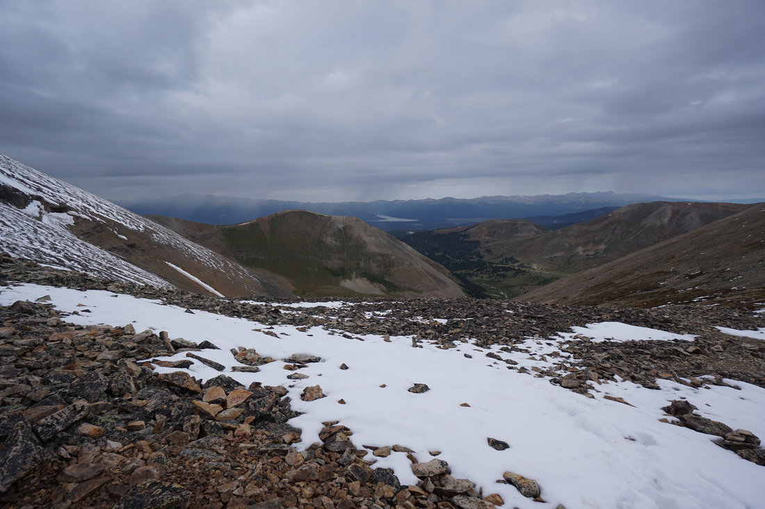
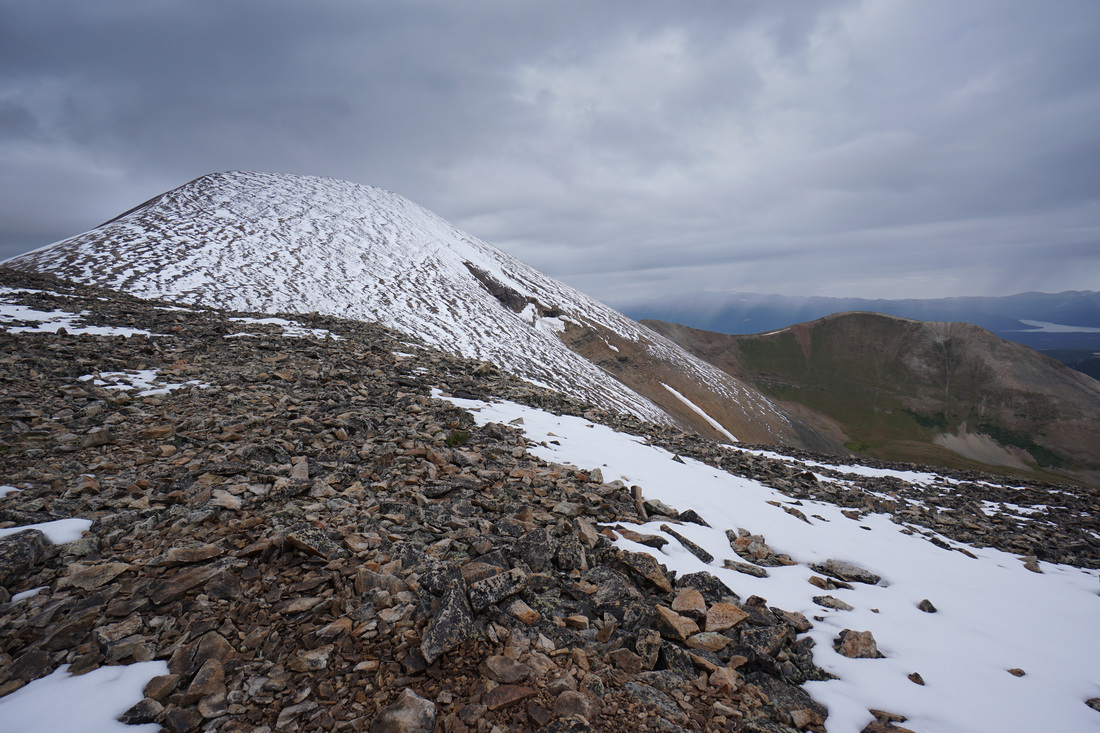
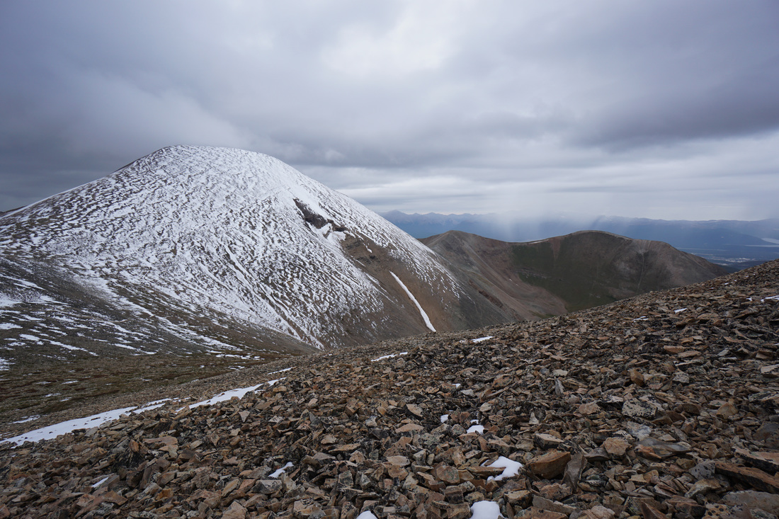
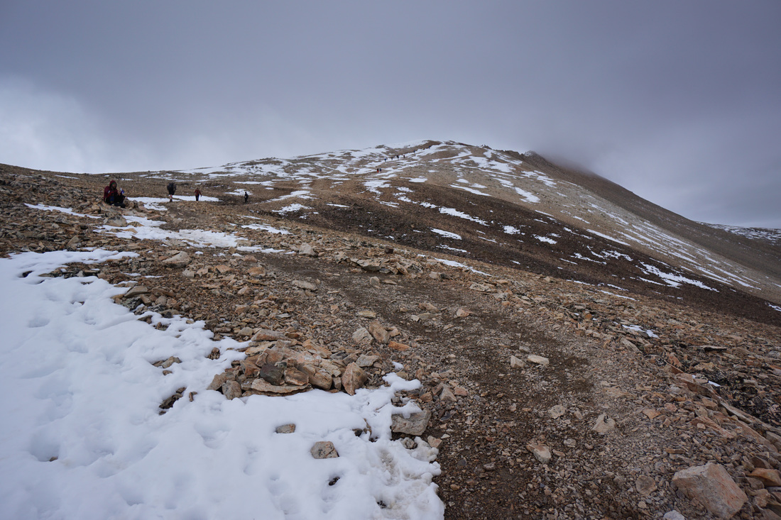
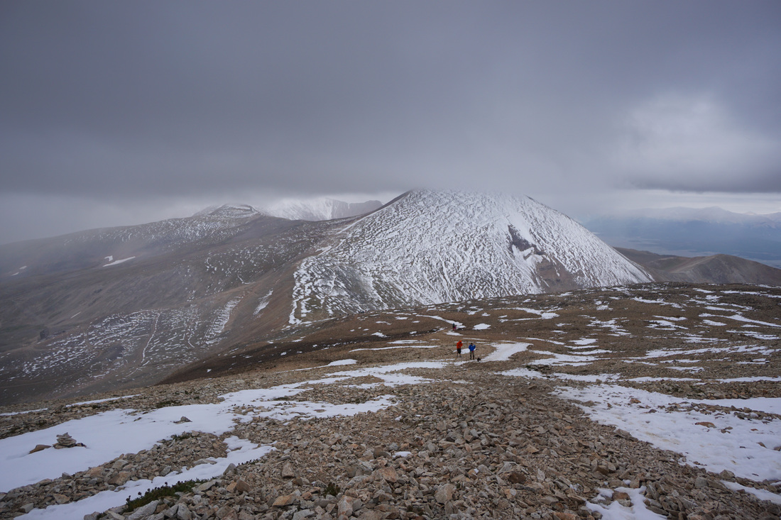
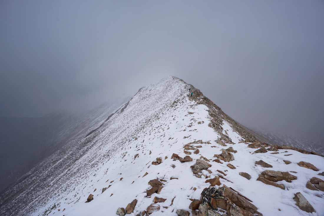
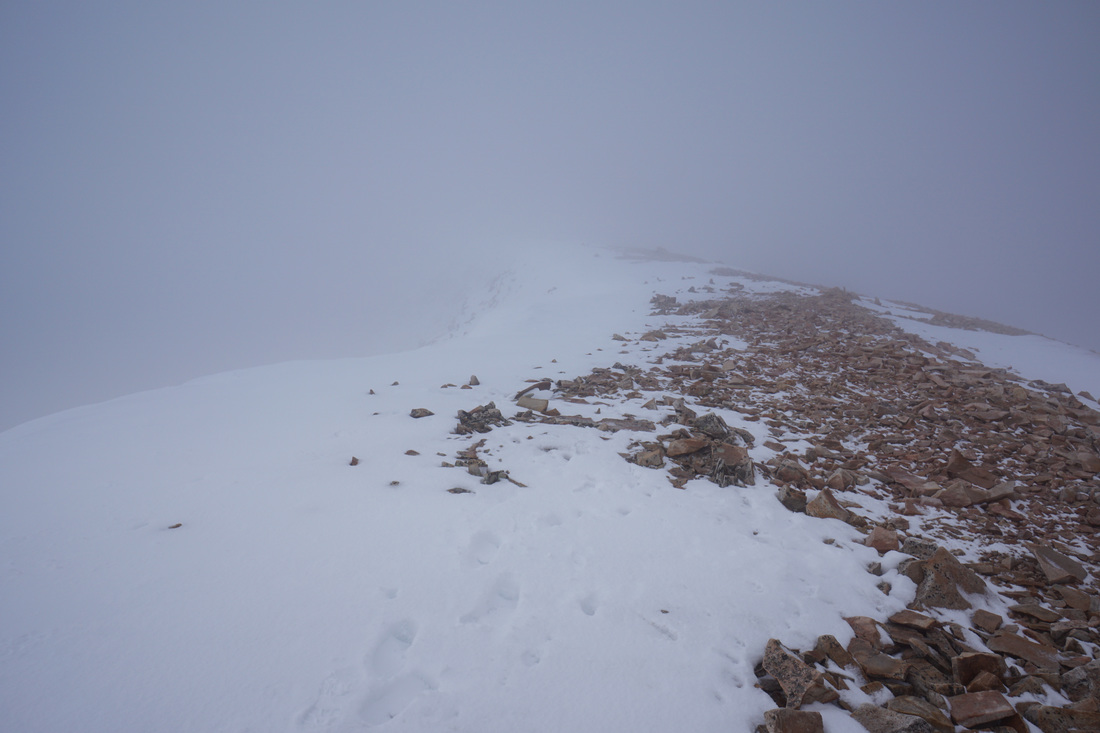
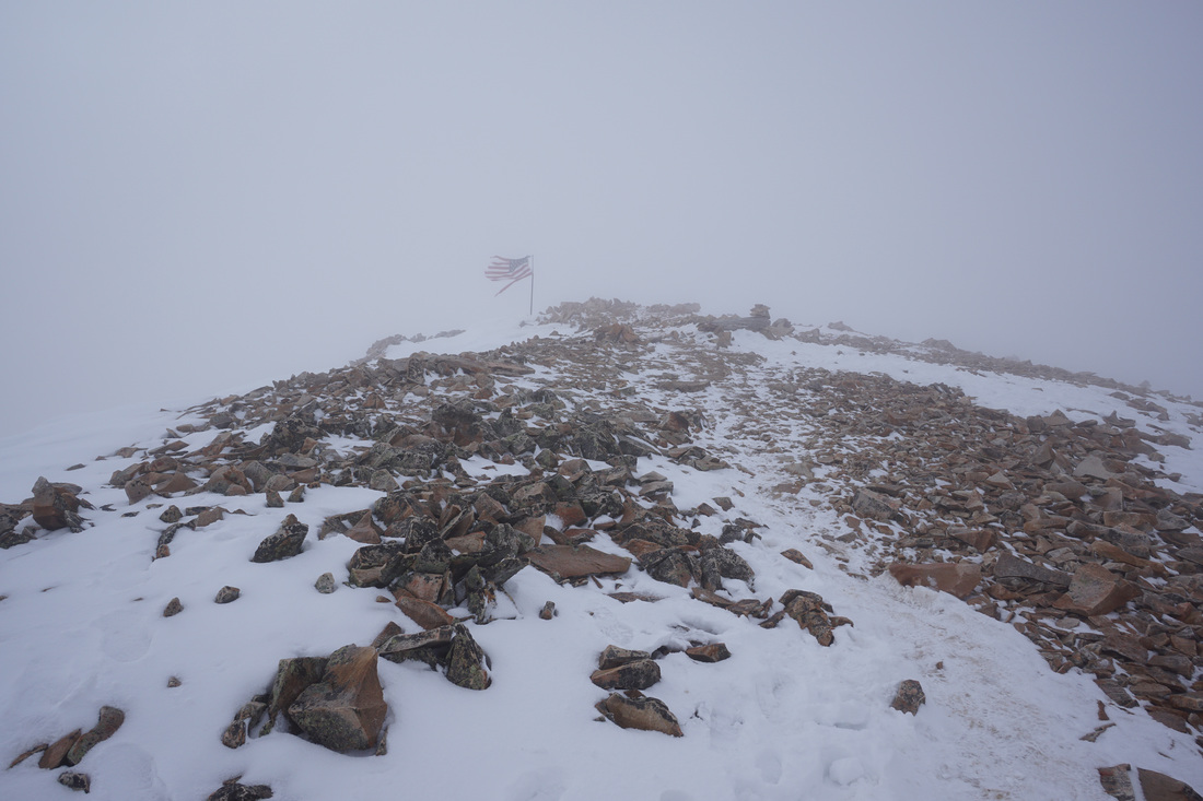
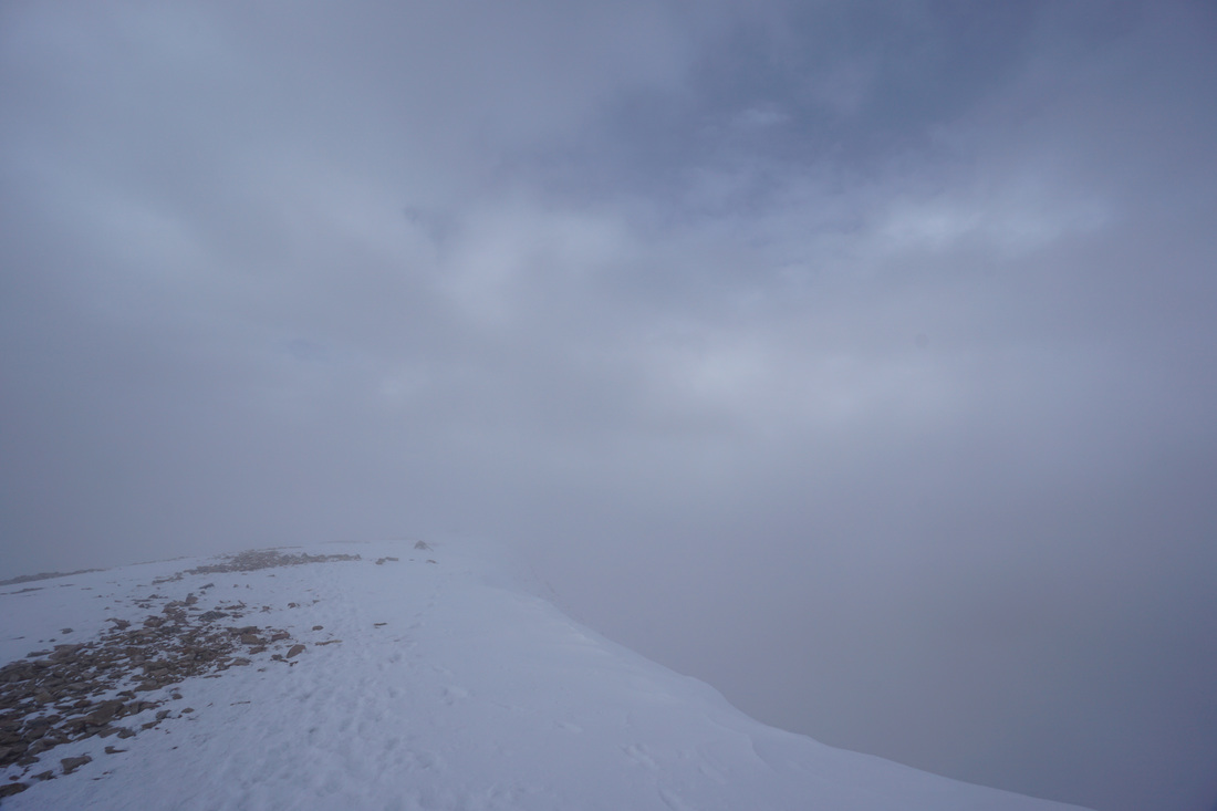
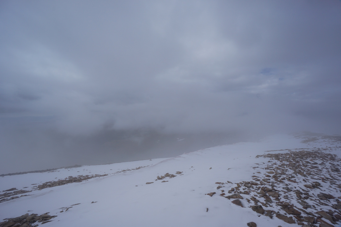
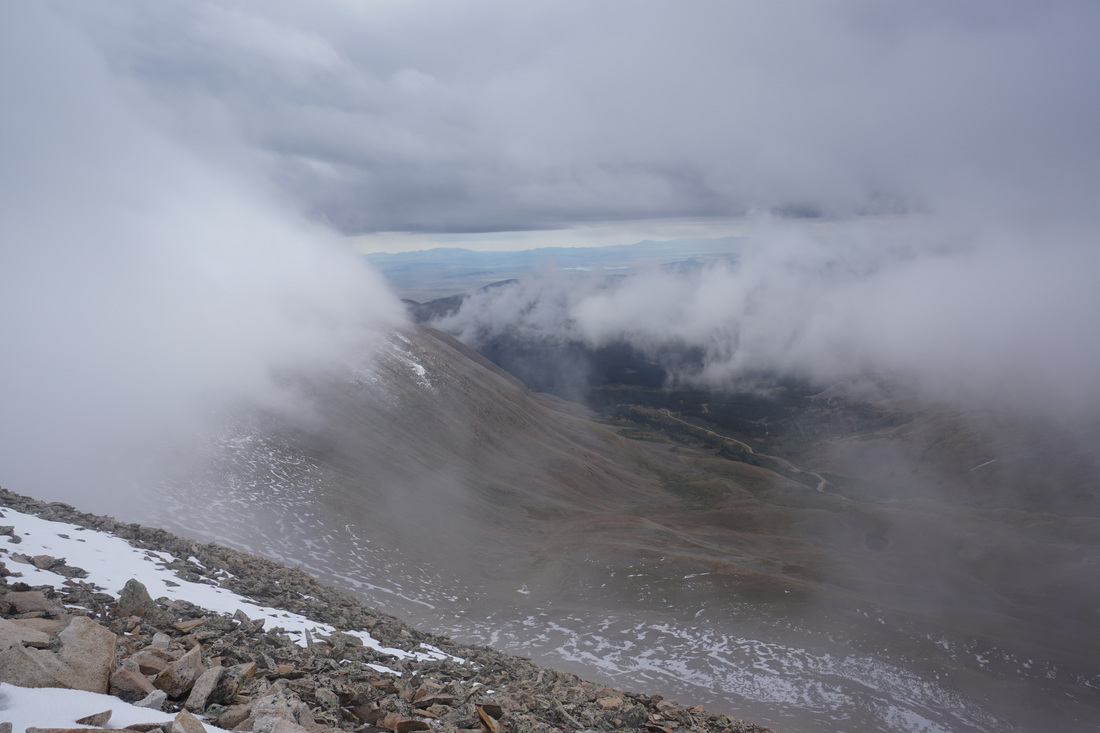
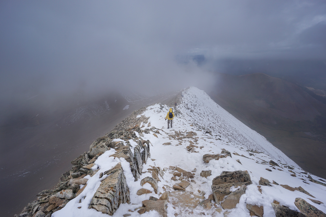
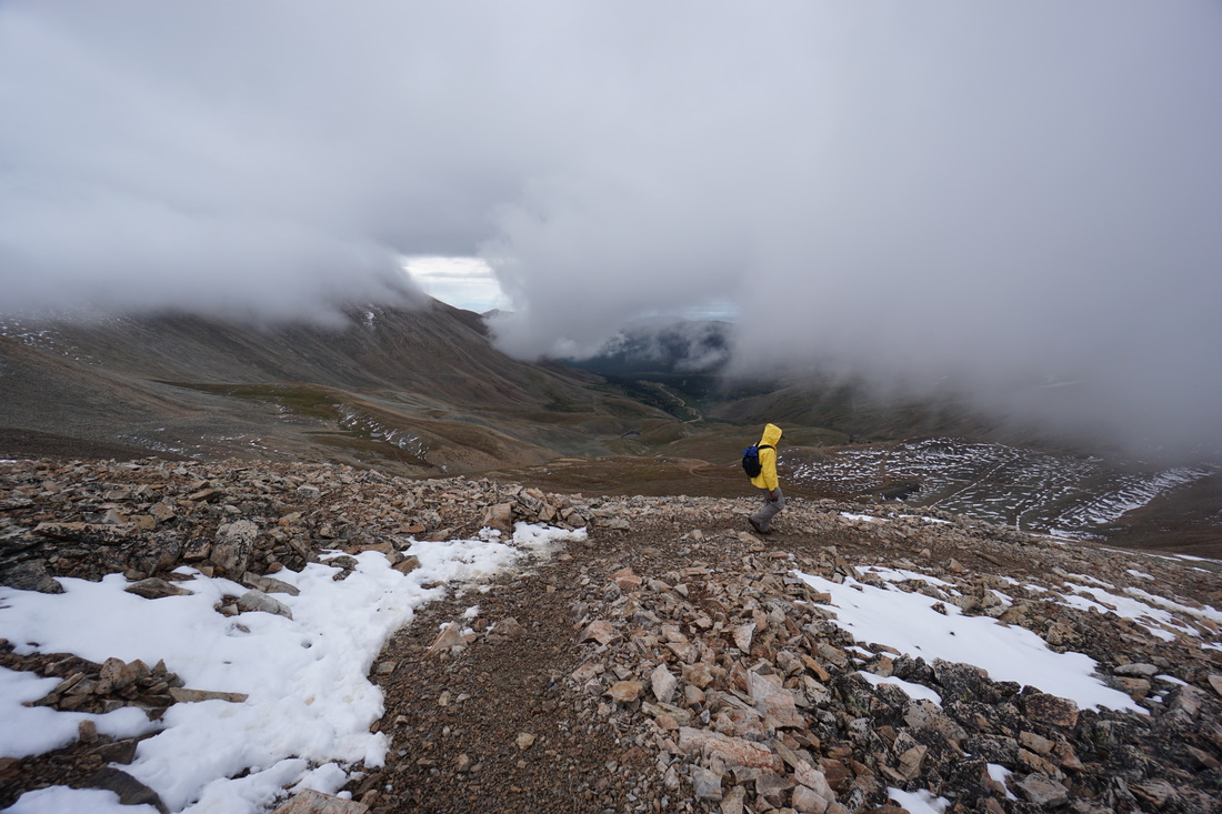
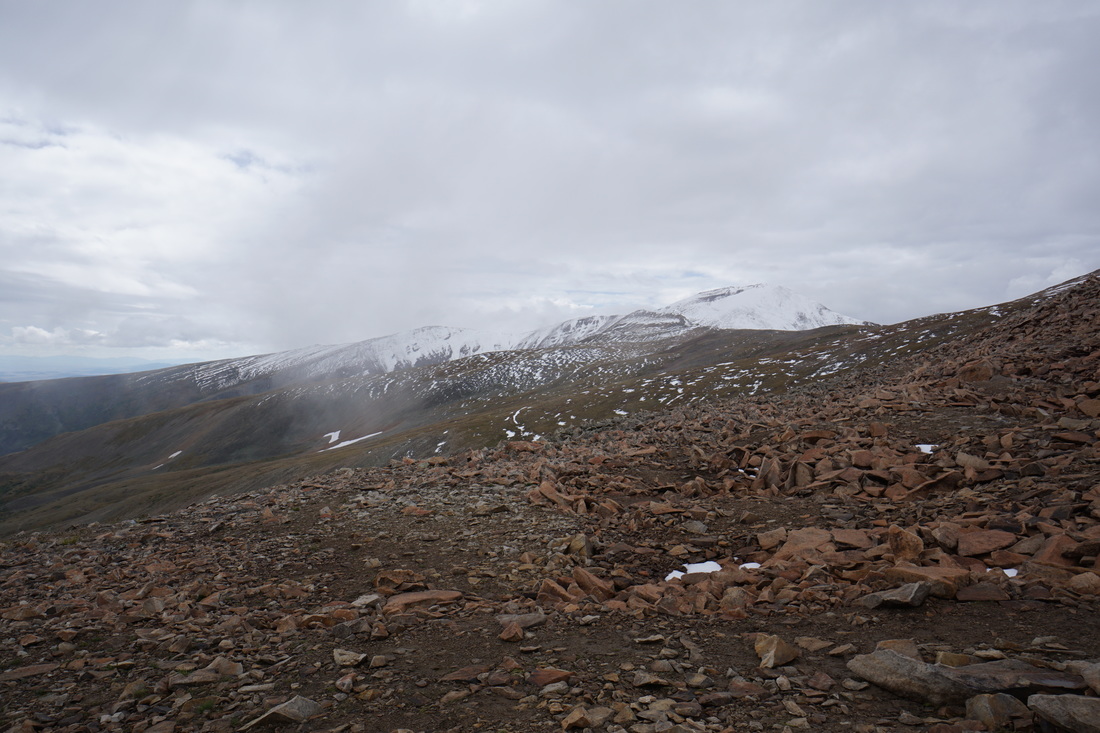
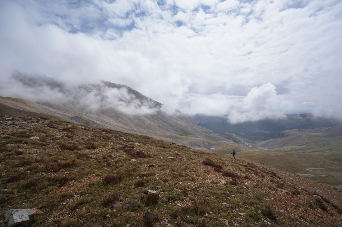
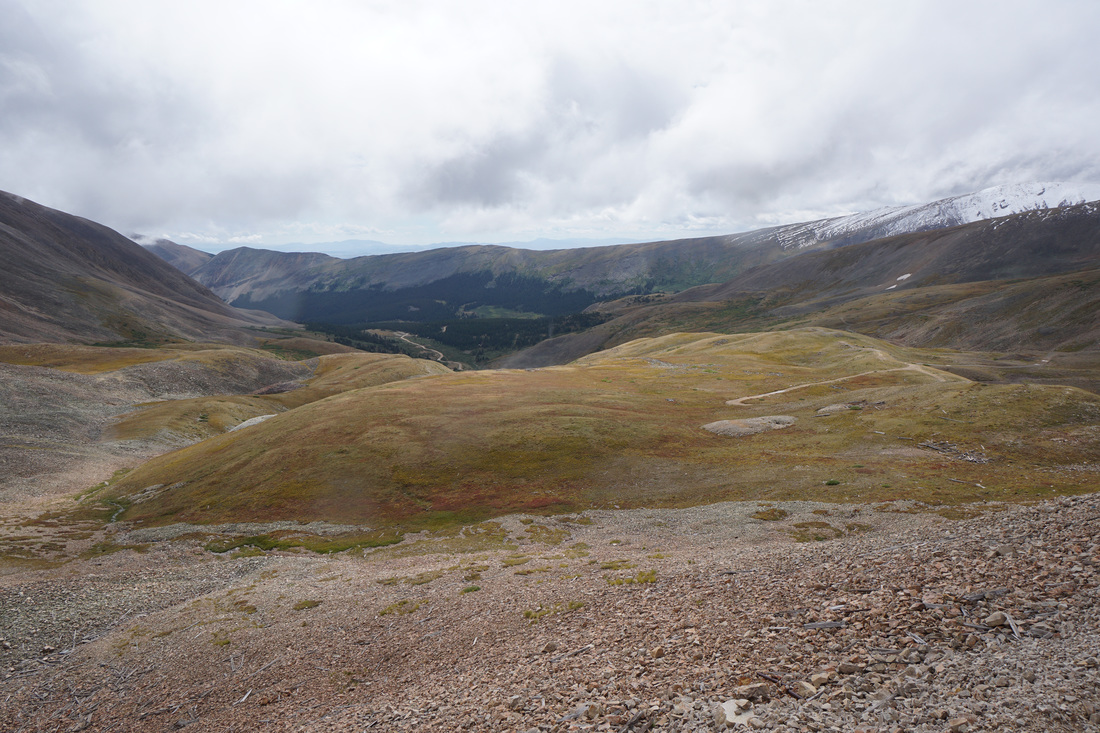
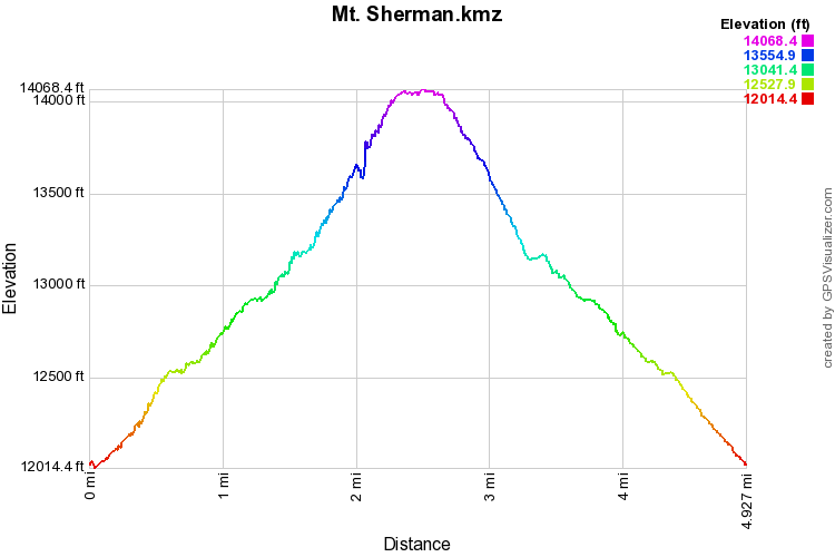
Mount Sherman is widely considered one of the easier 14ers. The roundtrip distance is about 5 miles and you only climb about 2,000 ft elevation. However, you are still climbing a 14,000+ ft mountain and with that altitude comes difficulty and perils. The climb up Sherman has the usual amazing views that you would find on a 14er. On the hike up Mt. Sherman you get wonderful views to the west of the Collegiate Peaks, Mt. Massive, and Mt. Elbert, views to the north of the Mosquito and Ten Mile ranges, and views to the south of South Park. As you can see by the photo gallery, we did not get to fully experience the views from Mt. Sherman, except through small patches of snow and cloud. From the gate (open during the summer) follow the old mining road as it passes by the ruins of the Dauntless Mine. Continue up the road and keep your eyes out for the large cairn and rock arrow pointing to the trail on the right. Follow this trail and wind your way up to the edge of the valley. If you stay straight on this road, you can follow the longer approach up past the Hilltop Mine where it meets up with the other trail. The trail climbs gently and rounds a switchback to a flat area behind the Hilltop Mine. From here start the switchbacks up to the Sherman/Sheridan saddle. There are various ways to go but they all lead to the same spot. From the saddle you get your first tremendous views and can visualize the remainder of the route up Sherman. Continue up Sherman’s west slopes with some steep rocky sections to the narrow ridge line. The last .5 mile or so traverses a ridge with some substantial exposure but the wide path is never too difficult nor technical. Keep picking your way up the ridge to the broad summit. As you walk along the flat summit ridge you’ll soon see the American flag and summit cairn. Retrace your steps along the ridge back to the saddle and the trailhead. The weather in this area can move in very quickly so keep looking to the south for storm clouds. On this trip we got stuck in an August snow storm making the ridge icy and treacherous. Please don’t underestimate these 14ers, even the easiest can turn into a ragging alpine adventure at the drop of a hat. |
|