|
Directions: From Alma, CO head west on County Road 8, there is a small sign for Kite Lake. Soon you will enter the National Forest boundary and there will be more signs for Kite Lake. The road starts off rough but passable by most vehicles. As you get closer to Kite Lake, past the turn off for Windy Ridge, the road get rougher and rougher. 4WD or AWD high clearance vehicle is required. After you pass the pay station, there are numerous places to park on the side of the road, and hike the rest of the way to the Kite Lake Trailhead. Keep in mind that the parking at the trailhead fills up quickly so don't kill your vehicle trying to get there.
For the best hike descriptions, maps, and data on this and other Colorado 14ers, please visit www.14ers.com.
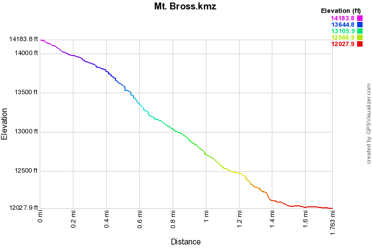
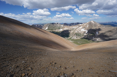
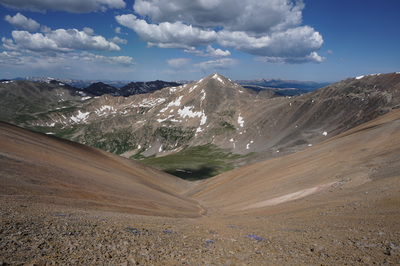
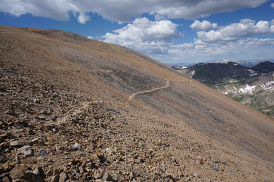
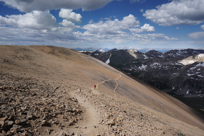
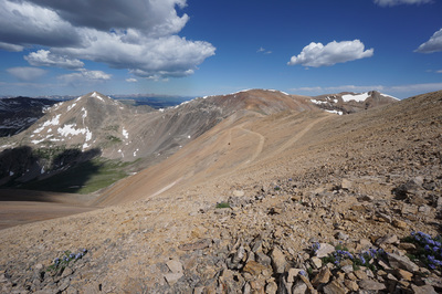
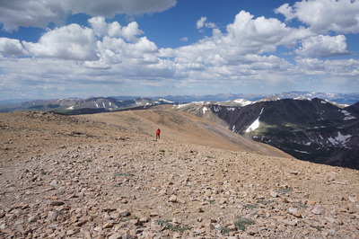
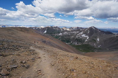
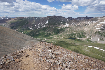
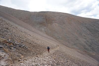
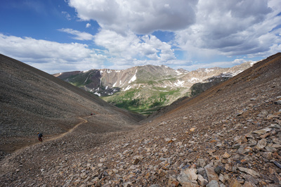
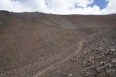
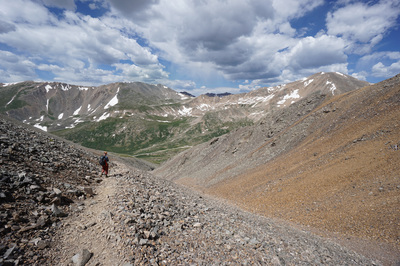
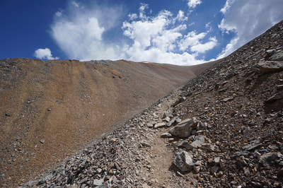
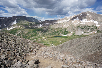
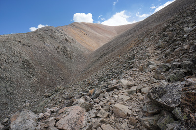
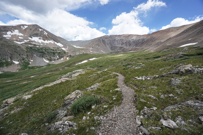
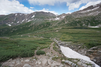
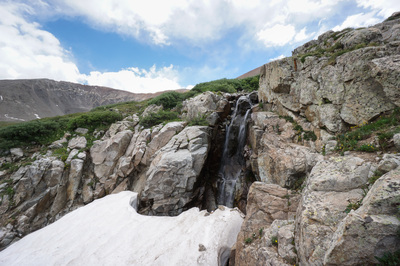
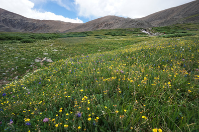
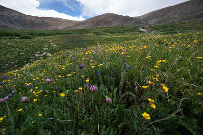
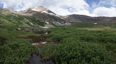
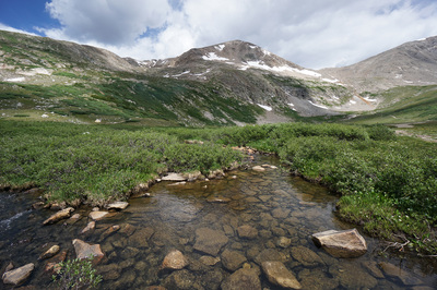
Mt. Bross in an interesting mountain… First of all, it is currently illegal to summit Mt. Bross. The land surrounding the summit is privately owned and the U.S. Forest Service, the Colorado Fourteeners Initiative, and the landowners have been trying to figure out a plan for access for years now. For more information and the latest work on the matter, visit this link: http://www.14ers.org/peaks/mosquito-range/mount-bross/ Even though you can’t legally summit (and please do respect the private property owners), you can get close, and the views from below the summit are stunning. Mt. Bross is typically climbed as the final leg of the Decalibron, see here, a 7.5 mile tour of the four 14ers on this ridge. The west face route is steep and punishing and it is not recommended that you climb up to Bross this way. But…if you insist or are looking for a challenge… From the Kite Lake Campground and trailhead, head east at the trail sign for Mt. Bross. You’ll cross a stream and cross the relatively flat terrain of the basin until you start to climb up along a gorge (probably with snow in it). At the top of the gorge is a small waterfall and the wildflowers in this section can be incredible. As you ascend the trail is moderate at first as it follows a serious of switchbacks, but it gets rockier and rockier and steeper and steeper. After about 1 mile, you have to cross the gully and there are two options. The obvious trail heads to the left and a faint trail breaks off to the right, stay left. This trail is more stable than the other but just barely. The trail will take you up to a ridge line with the most exposure you will get on this route. The narrow rocky trail climbs up until the large stable rock gives way to scree and loose dirt. The steepest section of the trail is just below where the trail stops climbing straight up and veers off to the north. This section is just steep and loose and takes some real determination to climb. When the trail evens out it cuts across the western slopes of Mt. Bross and gradually leads to a trail junction, which may or may not have a sign. The summit of Bross is just a few minutes up trail. However, since you can’t summit the mountain legally, this is your turnaround spot. With the difficulty of the trail, you may have forgotten to take a look around you. The views, all the way up the trail, are hard to describe. Mt. Democrat is front and center and looks very impressive from this vantage. The views down the basin and the views of the surrounding Mosquito Range peaks from the top are equally impressive. However, the most impressive part of this hike is the sheer immensity of Mt. Bross’s west slopes. If you didn’t notice it on the way up, you will on the way down. Stop and take a loop, you will get vertigo… The hike down is oppressive but if you made it up, you know what you are in for. The steep loose dirt section is the toughest part but luckily it doesn’t last too long. Just take you time, watch your feet, and if you have gaiters, make sure you put them on here. The hike may be tough but the views are worth all the effort. Still it is probably easier to do the full Decalibron rather than summit Bross alone…might as well… |
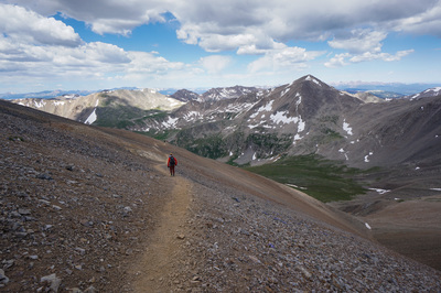
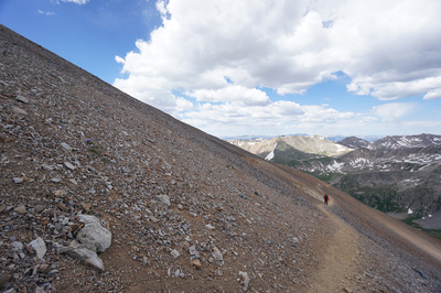
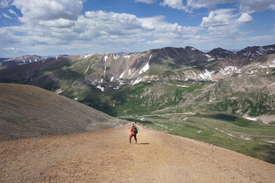
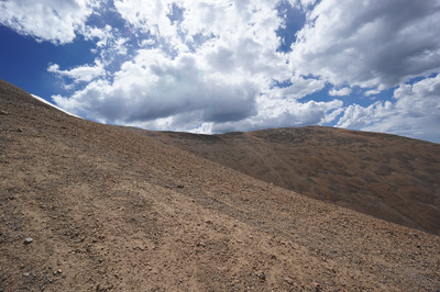
Note: The gallery below was taken during a descent of Mt. Bross, if you are climbing Mt. Bross from Kite Lake, just reverse the photos...
|
- HOME
- ABOUT
-
HIKES BY REGION
-
NATIONAL PARK HIKES
- BENT'S OLD FORT NATIONAL HISTORIC SITE
- BLACK CANYON OF THE GUNNISON NATIONAL PARK
- COLORADO NATIONAL MONUMENT
- CURECANTI NATIONAL RECREATION AREA
- DINOSAUR NATIONAL MONUMENT
- FLORISSANT FOSSIL BEDS NATIONAL MONUMENT
- MESA VERDE NATIONAL PARK
- ROCKY MOUNTAIN NATIONAL PARK
- GREAT SAND DUNES NATIONAL PARK
- HOVENWEEP NATIONAL MONUMENT
- SAND CREEK MASSACRE NATIONAL HISTORIC SITE
- YUCCA HOUSE NATIONAL MONUMENT
- HIKES BY CATEGORY
- NEWS
- WEBCAMS
- $UPPORT GHC
- INTERACTIVE MAP
Mt. Bross 14,172 ft
Pike National Forest
Date Hiked: July 15, 2016
Distance: 3.4 mi (RT);
Elevation Gain: 2,272 ft
Elevation Min/Max: 11,900 to 14,172 ft
Trailhead Lat/Long: 39.325796º N; 106.128646º W
Managing Agency: U.S Forest Service
Fee: $3 Parking at Kite Lake

