|
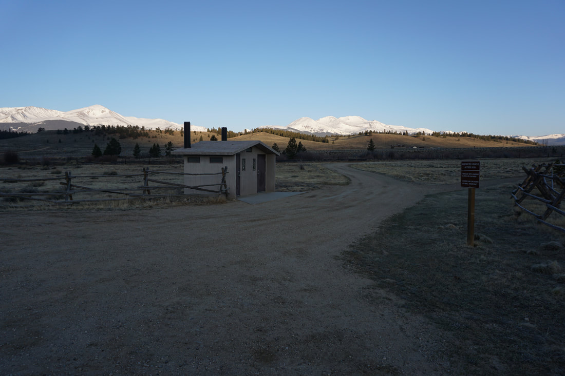
DIRECTIONS: Hayden Meadows Reservoir is located just east of Hwy 24 south of Leadville. Whether you are traveling north on 24 to Leadville or south on 24 from Leadville, look for the signs to Hayden Meadows, turn east, and follow the short dirt road to the large parking area.
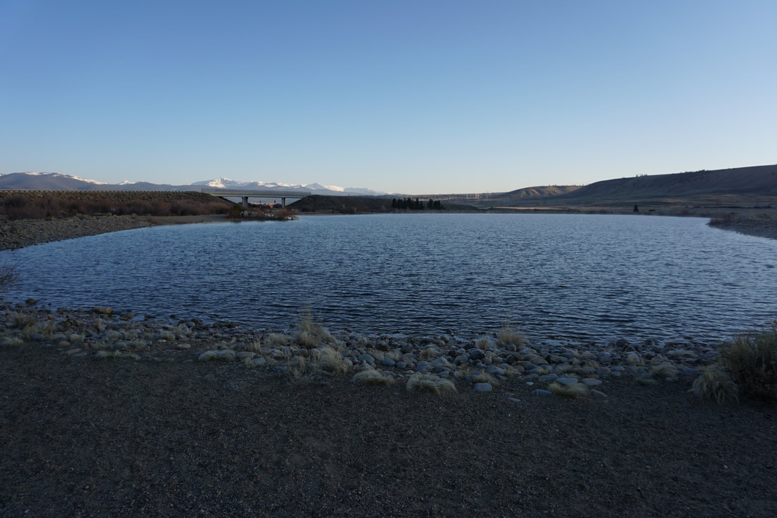
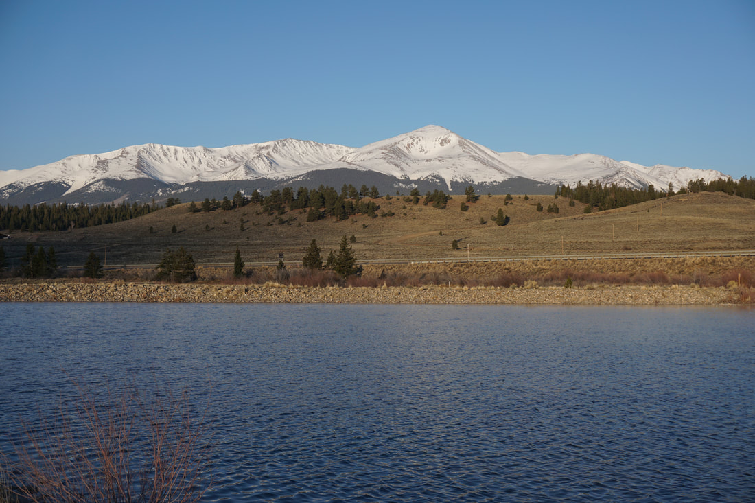
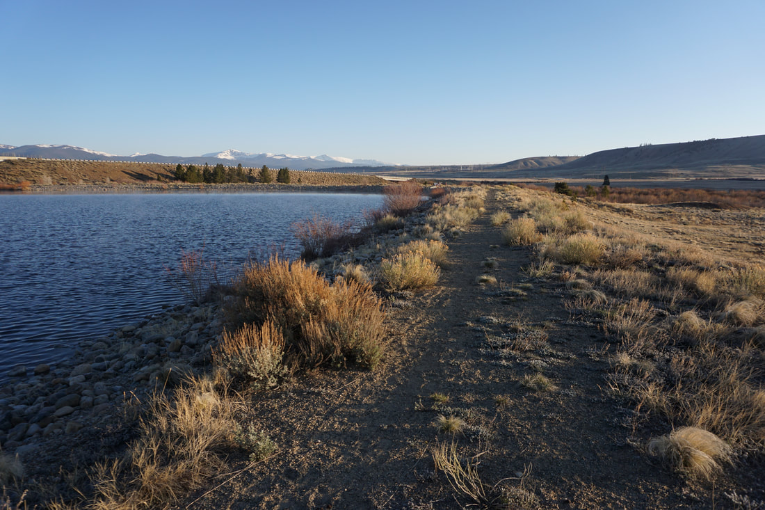
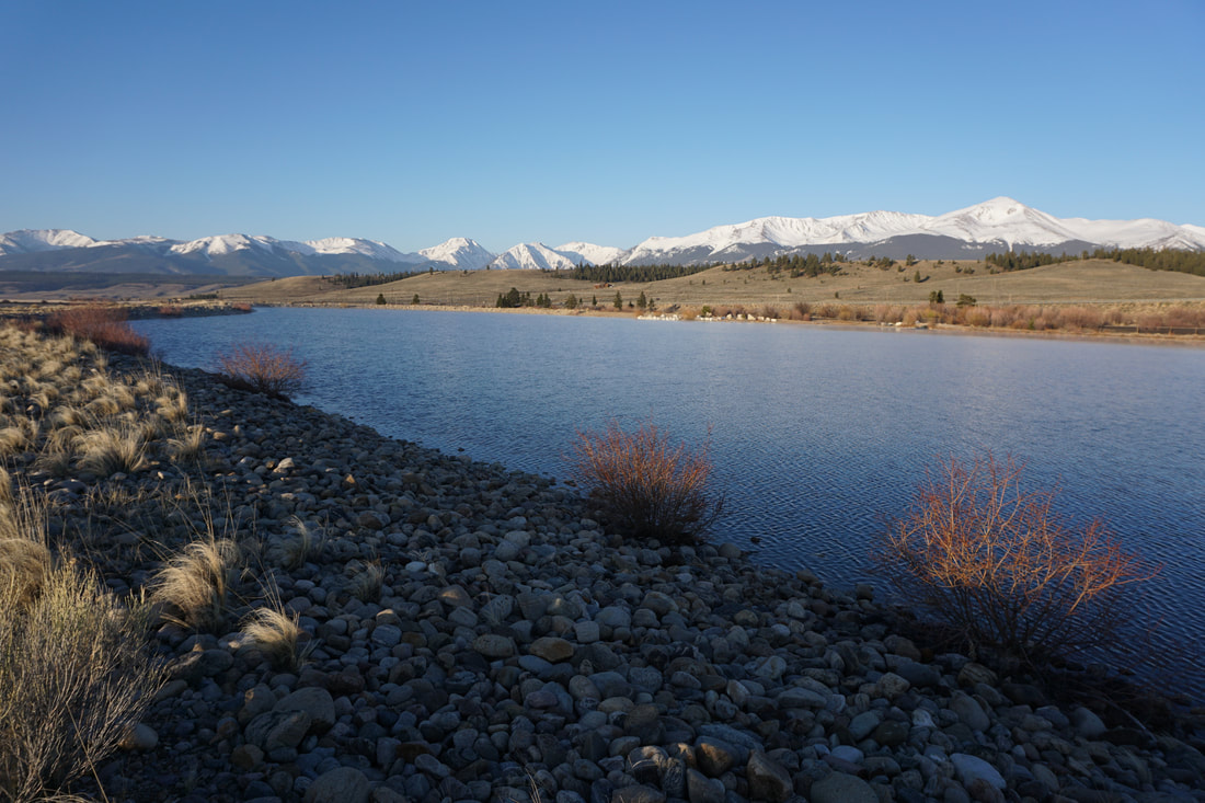
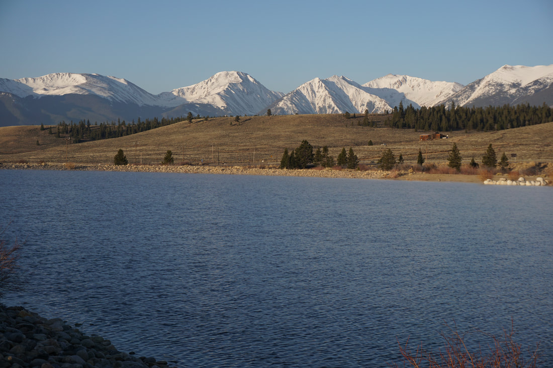
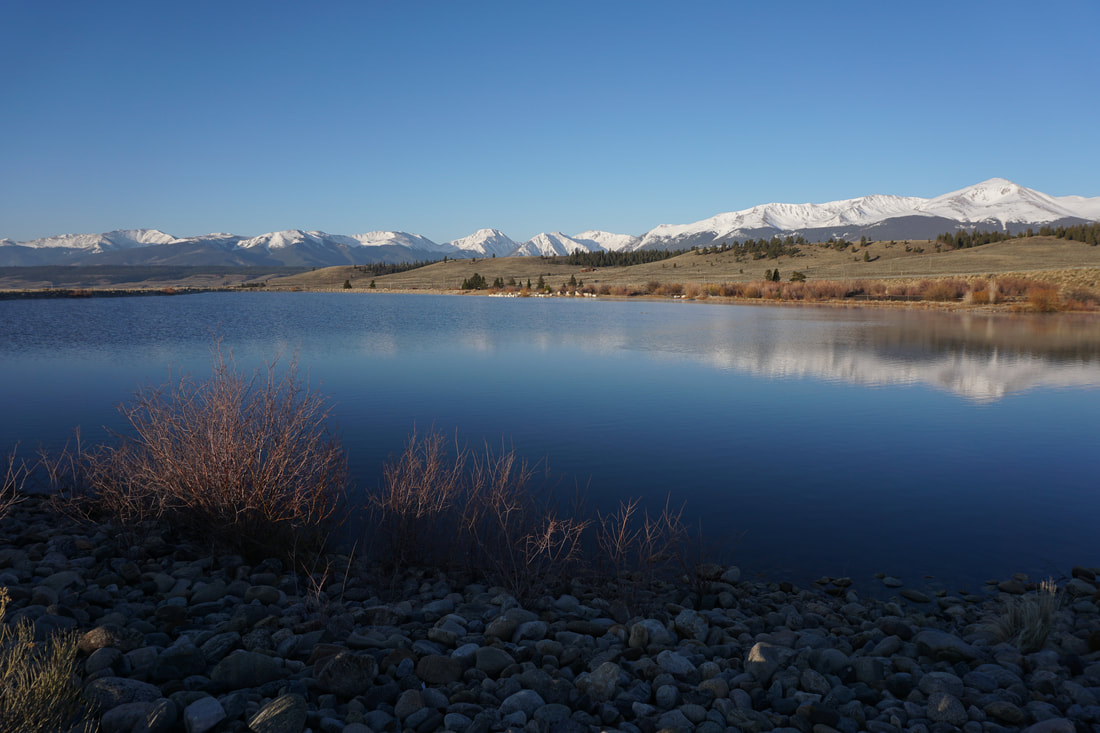
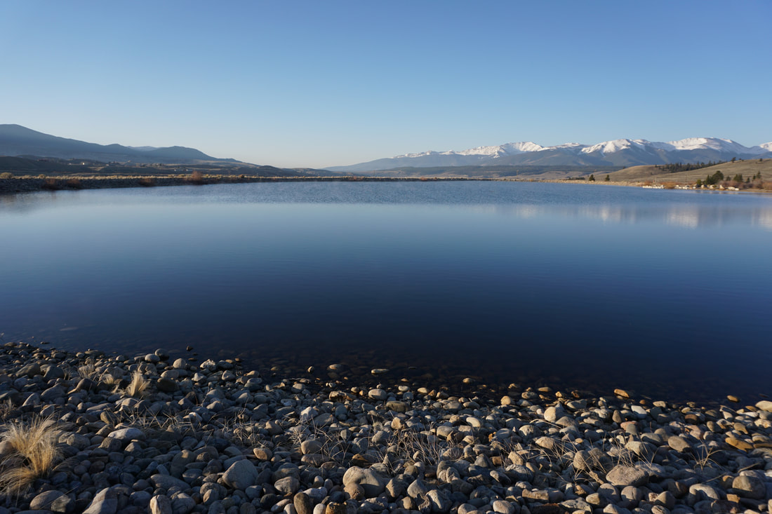
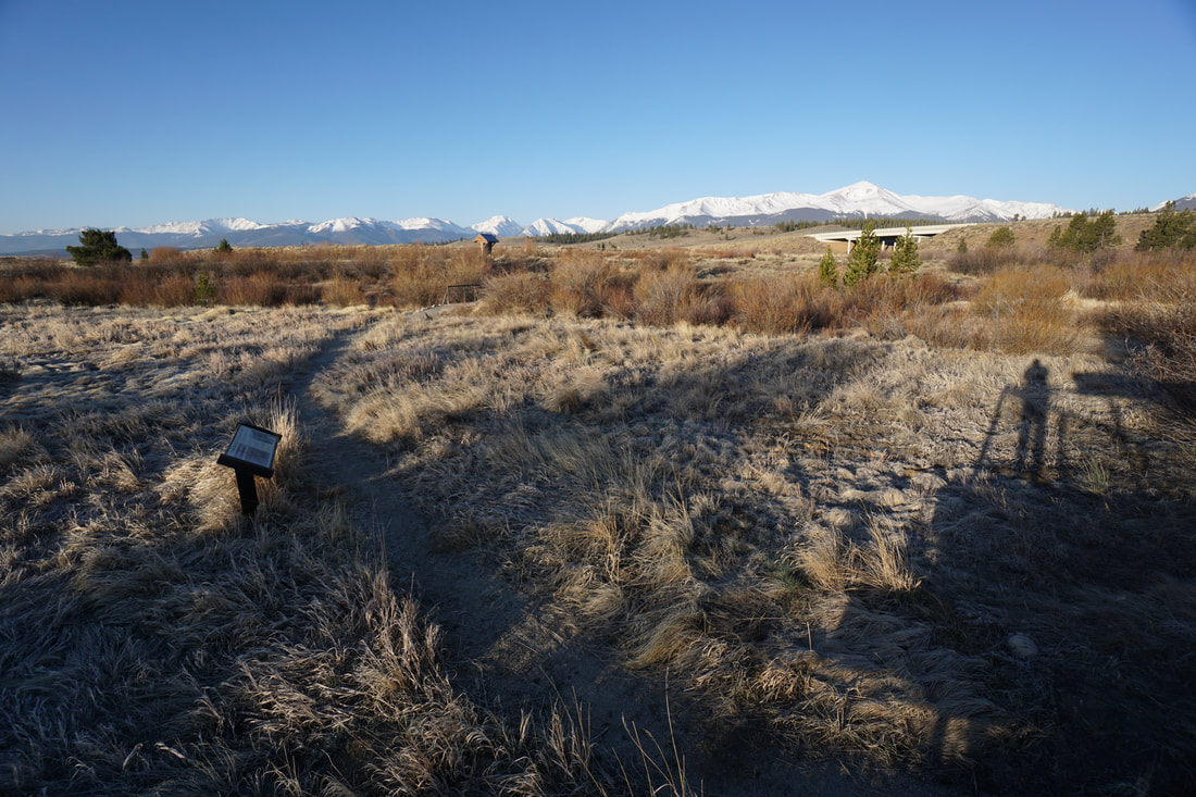
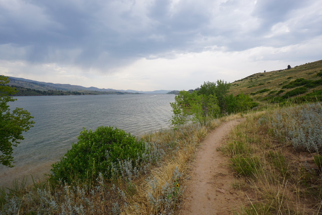
From the parking area, start the hike either at the reservoir, or east along the dirt road at the trail information kiosk. If you start from the Reservoir, then I recommend that you follow the trail along the eastern shores of the lake. This gives you the best views of the State's tallest mountain Mt. Elbert (14,433 ft), as well as Mt. Massive (14,421 ft) to the north and La Plata Peak (14,336 ft) just to the south. These views are why you should visit Hayden Meadows.
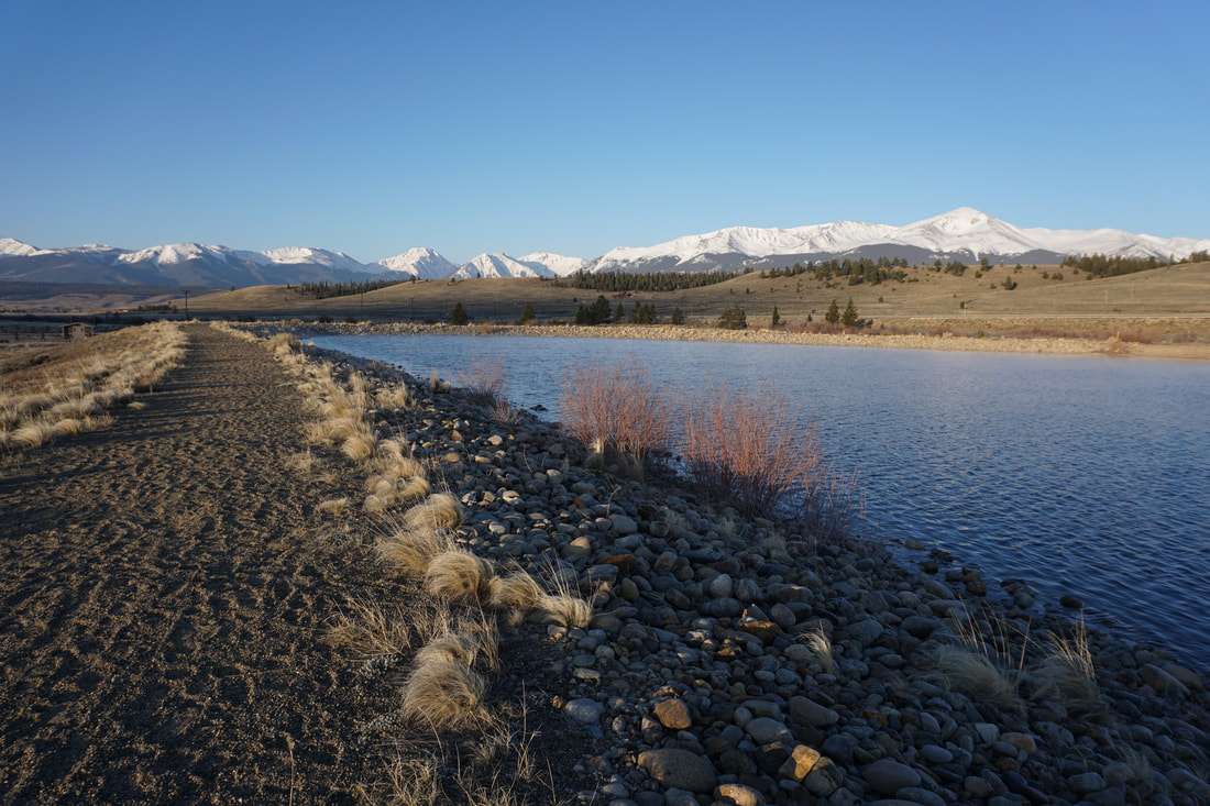
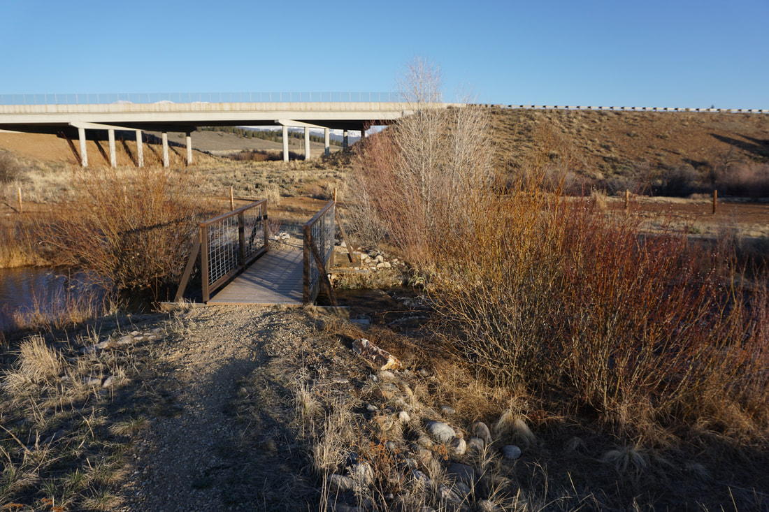
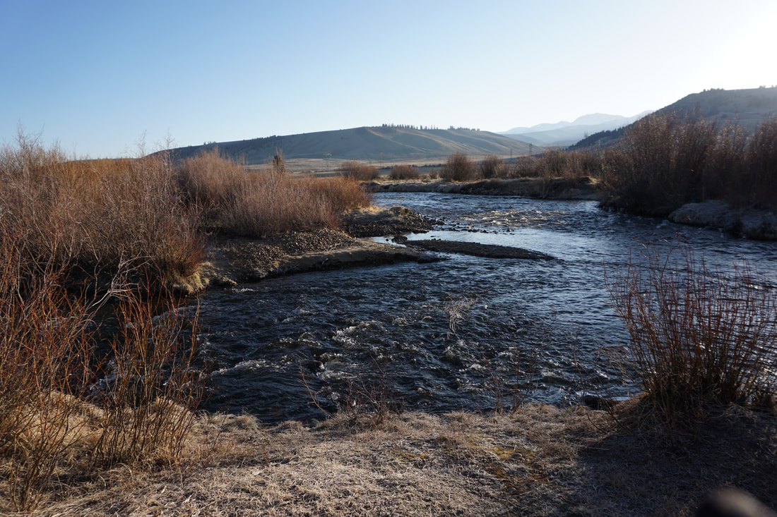
Come for the mountains, and stay for the river... After you hike around the reservoir, look for the trail & footbridge along the north shore. This trail will take you back to the east over a series of foot bridges to a short but pleasant nature trail criss-crossing the Arkansas River. This area has nice views of the Mosquito Range to the east, as well as wonderful opportunities for wildlife viewing. Follow the nature trail south until you reach the dirt road and return to the parking area. At 1 mile roundtrip, a hike around Hayden Meadows is short but sweet. Part of the Arkansas Headwaters Recreation Area (managed by the state of Colorado & the Bureau of Land Management (BLM)), this area provides some of the best views of Mt. Elbert that you can find...at least from the valley floor that is... |
|
- HOME
- ABOUT
-
HIKES BY REGION
-
NATIONAL PARK HIKES
- BENT'S OLD FORT NATIONAL HISTORIC SITE
- BLACK CANYON OF THE GUNNISON NATIONAL PARK
- COLORADO NATIONAL MONUMENT
- CURECANTI NATIONAL RECREATION AREA
- DINOSAUR NATIONAL MONUMENT
- FLORISSANT FOSSIL BEDS NATIONAL MONUMENT
- MESA VERDE NATIONAL PARK
- ROCKY MOUNTAIN NATIONAL PARK
- GREAT SAND DUNES NATIONAL PARK
- HOVENWEEP NATIONAL MONUMENT
- SAND CREEK MASSACRE NATIONAL HISTORIC SITE
- YUCCA HOUSE NATIONAL MONUMENT
- HIKES BY CATEGORY
- NEWS
- WEBCAMS
- $UPPORT GHC
- INTERACTIVE MAP
Hayden Meadows
Arkansas Headwaters Recreation Area
Date Hiked: April 28, 2018
Distance: 1 mi
Elevation Gain: Minimal
Elevation: 9,312 ft
Trailhead Lat/Long: 39º 09' 46" N; 106º 19' 24" W
Management Agency: CO State Parks / BLM
Fee: None