GO HIKE COLORADO
Get in Touch:
  • HOME
  • ABOUT
  • HIKES BY REGION
    • DENVER AREA >
      • Denver Mountain Parks
      • Jefferson County Open Space
      • Lakewood Parks
      • Denver Area Greenways
    • BOULDER AREA
    • DOUGLAS COUNTY
    • FORT COLLINS AREA
    • COLORADO SPRINGS AREA
    • FRONT RANGE
    • TENMILE & MOSQUITO RANGES
    • GORE RANGE
    • SANGRE DE CRISTO MOUNTAINS
    • PARK RANGE
    • SAWATCH RANGE
    • ELK MOUNTAINS
    • SAN JUAN MOUNTAINS
    • THE FLAT TOPS
    • GRAND MESA
    • COLORADO PLATEAU
    • EASTERN PLAINS
  • NATIONAL PARK HIKES
    • BENT'S OLD FORT NATIONAL HISTORIC SITE
    • BLACK CANYON OF THE GUNNISON NATIONAL PARK
    • COLORADO NATIONAL MONUMENT
    • CURECANTI NATIONAL RECREATION AREA
    • DINOSAUR NATIONAL MONUMENT
    • FLORISSANT FOSSIL BEDS NATIONAL MONUMENT
    • MESA VERDE NATIONAL PARK
    • ROCKY MOUNTAIN NATIONAL PARK
    • GREAT SAND DUNES NATIONAL PARK
    • HOVENWEEP NATIONAL MONUMENT
    • SAND CREEK MASSACRE NATIONAL HISTORIC SITE
    • YUCCA HOUSE NATIONAL MONUMENT
  • HIKES BY CATEGORY
    • HIKES TO ALPINE LAKES
    • HIKES TO PEAKS & PASSES
    • HIKES THROUGH CANYONS
    • HIKES WITH FALL COLORS
    • HIKES ALONG THE I-70 CORRIDOR
    • HIKES ON PAVED TRAILS
    • HIKES FOR KIDS
    • HIKES TO WATERFALLS
    • HIKES ALONG RIVERS
    • HIKES WITH ROCK FORMATIONS
    • HIKES WITH WILDFLOWERS
    • WINTER HIKES
  • NEWS
  • WEBCAMS
  • $UPPORT GHC
  • INTERACTIVE MAP

FS Trail 606/Reynolds Ranch OS
Roosevelt National Forest

Date Hiked: May 4, 2014

Distance: 1.5 mi (RT) explored, there was much more trail to be followed...
Elevation Gain: 252ft
Elevation Min/Max: 8,543 to 8,712ft
Trailhead Lat/Long: 39 57' 12'' N;  105 28' 30'' W
Managing Agency: U.S. Forest Service/Boulder County Open Space
Fee: None

Boulder County Open Space Reynolds Ranch Website
Picture

Directions:  This trail is located on Magnolia Road west of Boulder.  From Boulder, take 119 west and make a left (south) on Magnolia Road.  Follow the road for about 10 miles.  At a turn in the road you'll see a turnoff for parking, a forest service trail marker, and the trail itself off to the right.

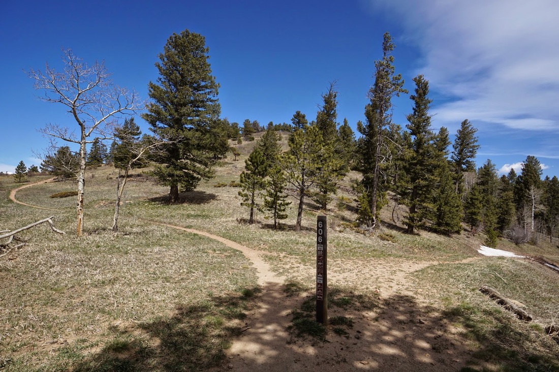
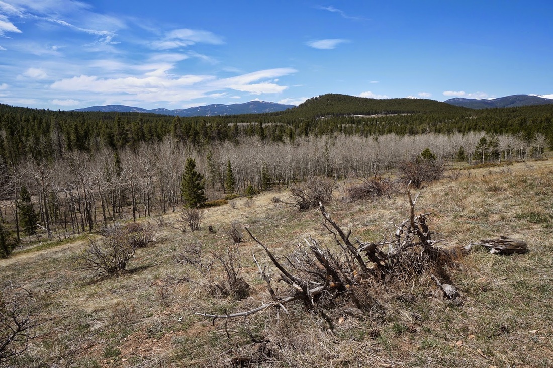
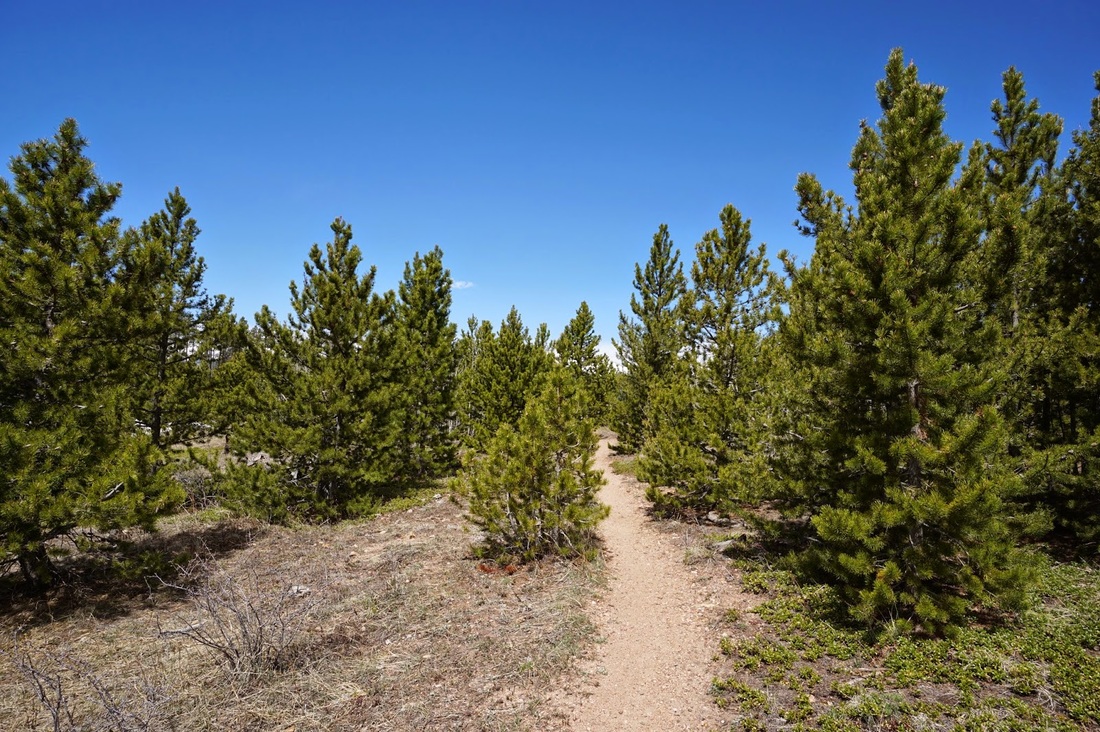
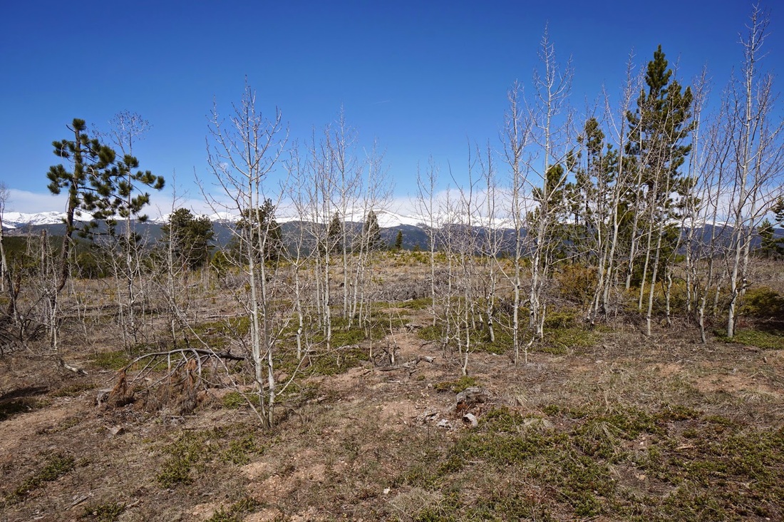
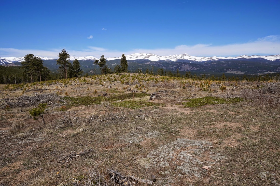
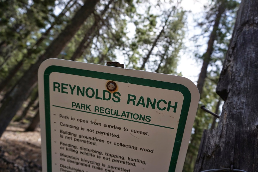
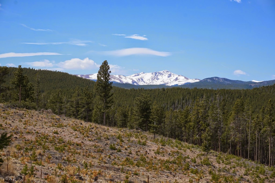
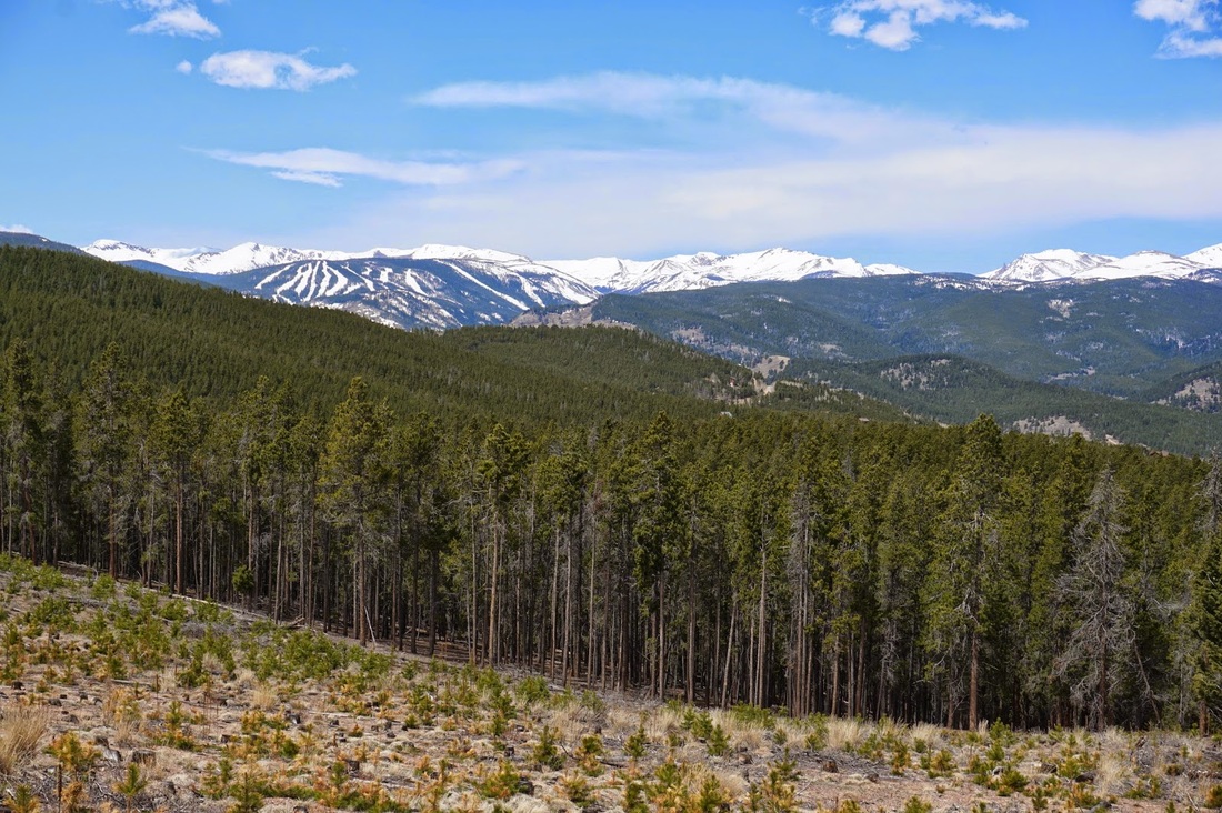
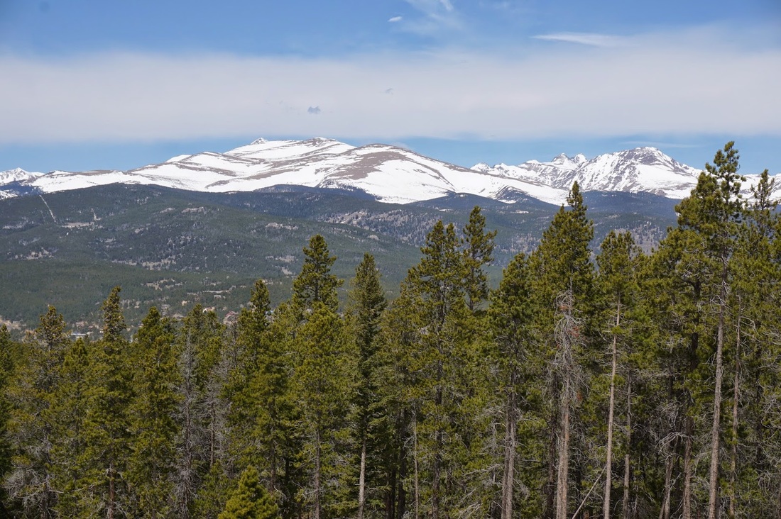
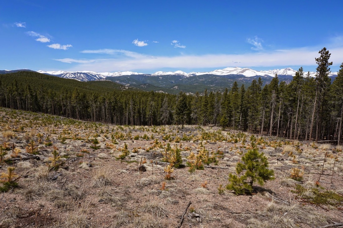
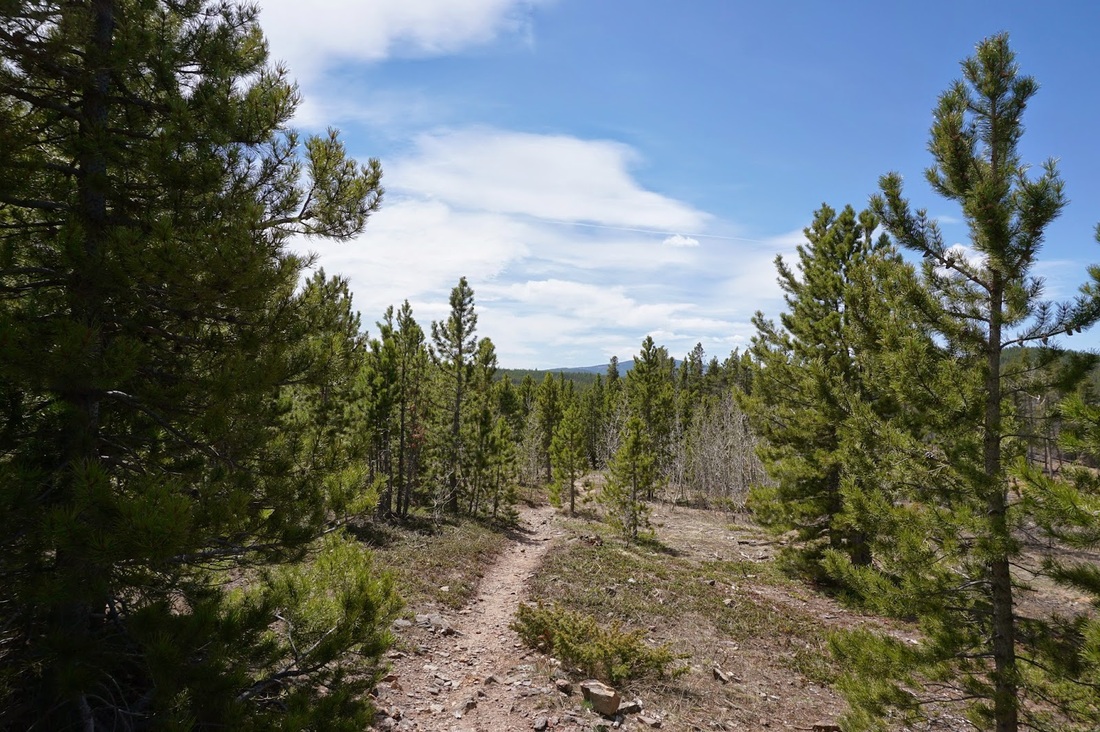
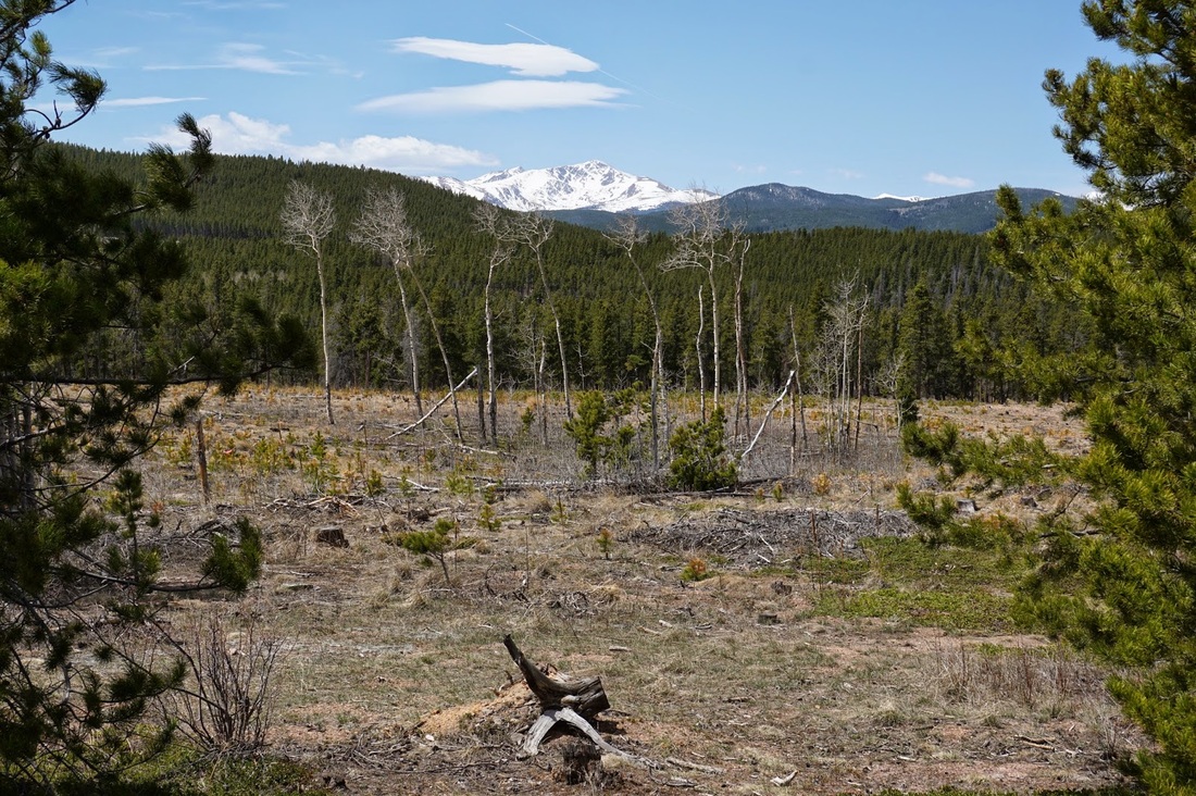
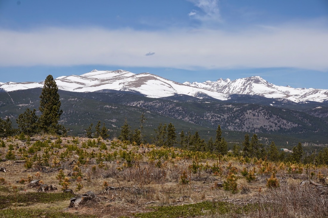
As I was exploring Magnolia Road, 'cause I've never been there and it seemed cool, I stumbled upon this trail.  It is marked as Forest Service Trail 606, closed to motor vehicles but open to all other recreational uses, so I explored it for a little bit.  Turns out that .3 miles up the trail, there is an amazing view of James Peak, Eldora Ski Area, the Indian Peaks, and even Longs Peak!  I traveled a little further but turned around about .75 mi in, as I was running out of time.  Just about when I turned around I found a small sign for Reynolds Ranch Open Space.

When I got home I looked it up and it seems that Boulder County owns Reynolds Ranch, but they have not yet developed it as an open space park.  While there are no facilities, there are good, well worn trails.  When I have more time I'll go back and explore properly, from the map it looks like there may be an overlook for Barker Reservoir in Nederland.  My curiosity is peaked...

Powered by Create your own unique website with customizable templates.