|
Directions: From Denver take I-70 West to Hwy 58 West. Turn north on Hwy 93 and just before you reach South Boulder, turn left (west) on Eldorado Springs Drive. From Boulder, head south on 93 and turn west on Eldorado Springs Drive. Go through the town of Eldorado Springs and enter the State Park. Follow the park's road to the visitor center and the trailhead.
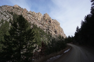
Eldorado Canyon is one of the more stunning canyon's along the Front Range. The sheer cliffs are dizzying and South Boulder Creek barreling through the canyon is electrifying. At the western end of the park you'll find the Eldorado Canyon Trail.
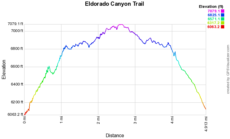
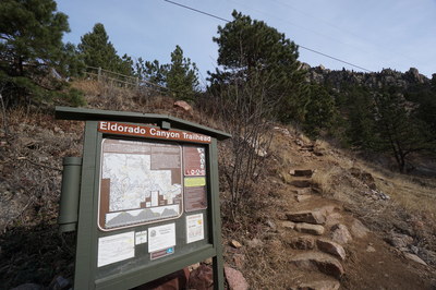
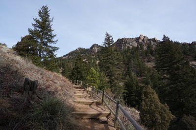
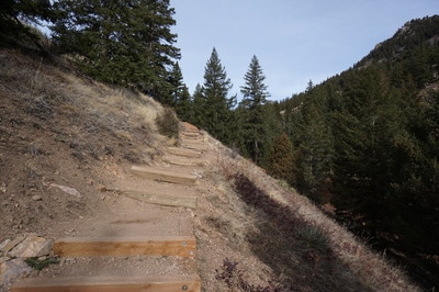
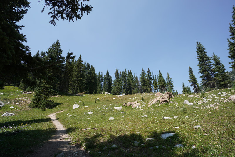
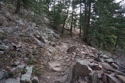
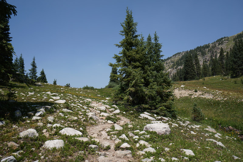
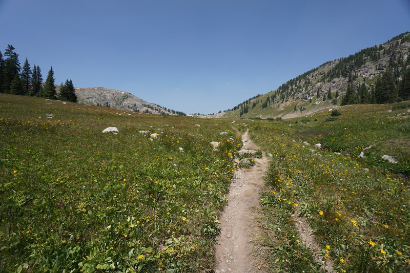
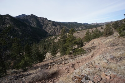
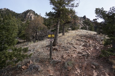
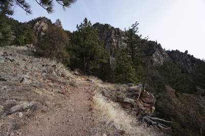
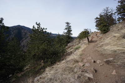
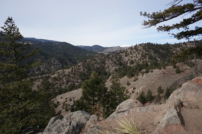
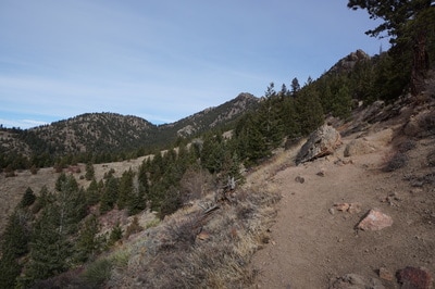
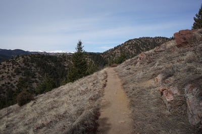
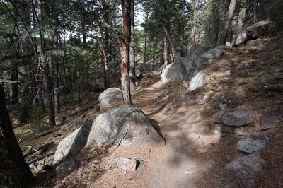
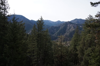
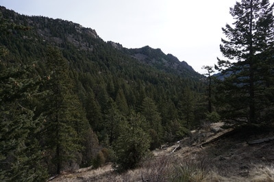
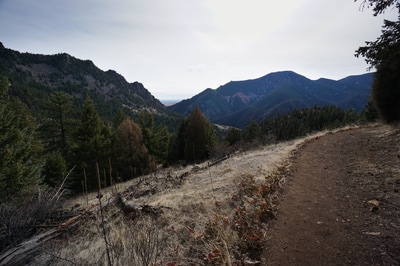
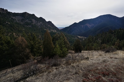
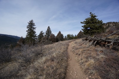
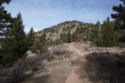
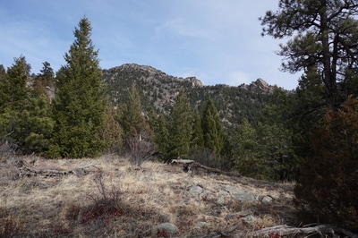
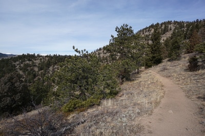
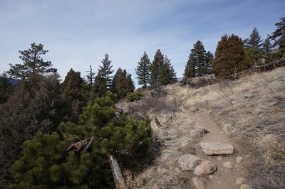
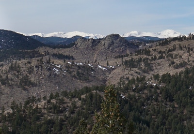
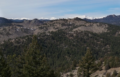
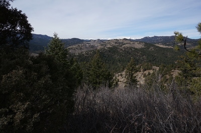
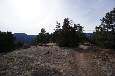
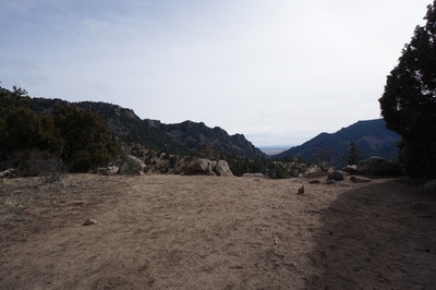
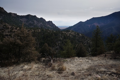
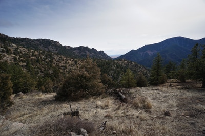
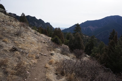
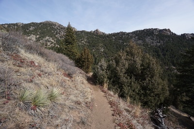
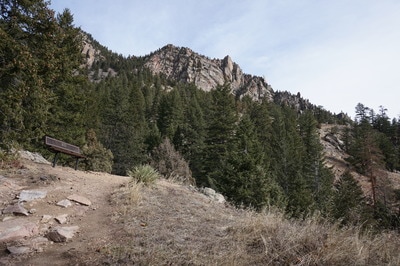
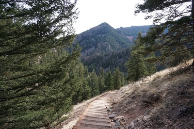
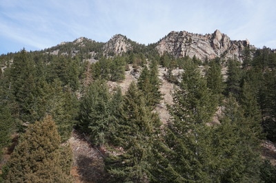
The trail starts near the visitor center and switchbacks up the southern slopes of South Boulder Peak. As you gain elevation the views of the rocky Shirt Tail Ridge to the north and Eldorado Mountain to the south provide a wondrous backdrop. Before long you'll reach a junction for the Rincon Wall climbing area, exploring this spur provides some good views up and down canyon. Back on the main trail, enter dense pine forests with tremendous boulders and rock formations. From here the trail rolls from ridge to ridge before descending down to a creek and back up to another ridge crest. Along the way rock outcrops and clearings present great views of the Indian Peaks to the west. At about 2.5 miles you'll arrive at the "summit" of this hike. On the last ridge, there is a large clearing with the best easterly view yet and a small trail sign that points downhill to the Walker Ranch Loop. This spot makes for a good turnaround point. If you continue downhill for another 3/4 of a mile you'll descend down to South Boulder Creek and a footbridge that links up with the Walker Ranch Loop. Re-trace your steps on the return and enjoy the tremendous views of the gates of Eldorado Canyon. This canyon gets a lot of visitation but the further west you hike, the thinner the crowds get. Be sure to get an early start on summer weekends as the parking lots tend to fill up quickly. |
- HOME
- ABOUT
-
HIKES BY REGION
-
NATIONAL PARK HIKES
- BENT'S OLD FORT NATIONAL HISTORIC SITE
- BLACK CANYON OF THE GUNNISON NATIONAL PARK
- COLORADO NATIONAL MONUMENT
- CURECANTI NATIONAL RECREATION AREA
- DINOSAUR NATIONAL MONUMENT
- FLORISSANT FOSSIL BEDS NATIONAL MONUMENT
- MESA VERDE NATIONAL PARK
- ROCKY MOUNTAIN NATIONAL PARK
- GREAT SAND DUNES NATIONAL PARK
- HOVENWEEP NATIONAL MONUMENT
- SAND CREEK MASSACRE NATIONAL HISTORIC SITE
- YUCCA HOUSE NATIONAL MONUMENT
- HIKES BY CATEGORY
- NEWS
- WEBCAMS
- $UPPORT GHC
- INTERACTIVE MAP
Eldorado Canyon Trail
Eldorado Canyon State Park
Date Hiked: February 12, 2017
Distance: 5 mi (RT)
Elevation Gain: 1,325 ft
Elevation Min/Max:6,063 to 7,079 ft
Trailhead Lat/Long: 39º 55' 51" N; 105º 17' 39" W
Managing Agency: Colorado Division of Parks & Wildlife
Fee: Yes ($8)

