|
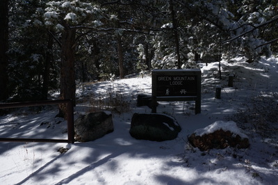
Directions: From Boulder head west on Baseline road past Chautauqua park to Flagstaff Road. Follow Flagstaff Road as it winds up the base of Flagstaff Mountain to the Realization Point Parking area. There are a few spaces across the street from the main parking lot. Head down the gated road to the Green Mountain Lodge sign. The Ranger trail starts just down the road from this sign.
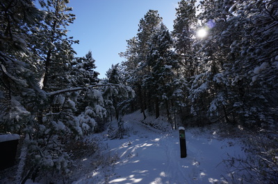
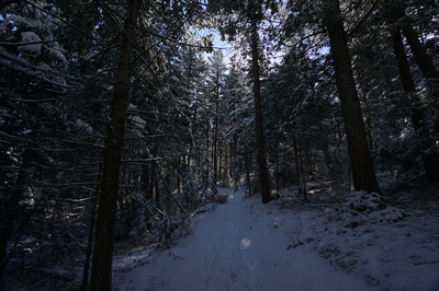
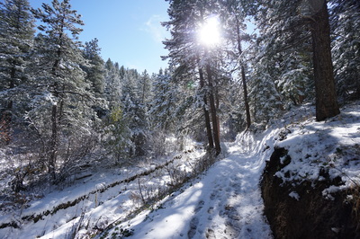
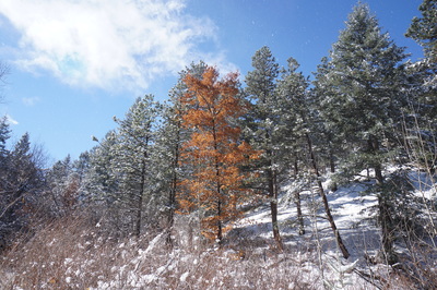
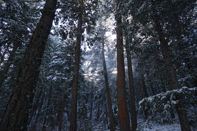
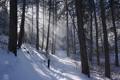
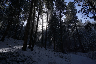
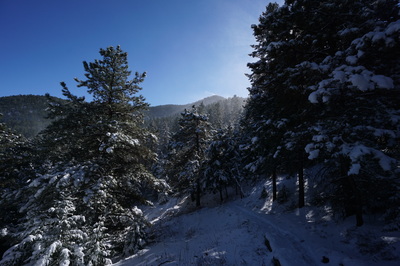
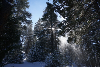
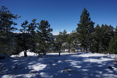
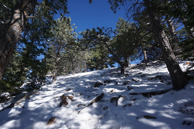
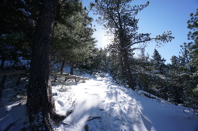
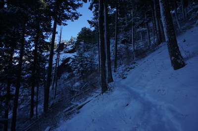
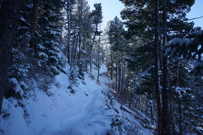
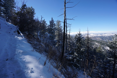
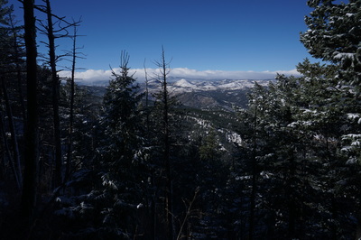
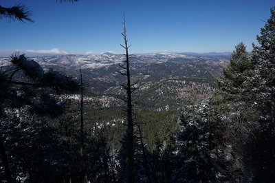
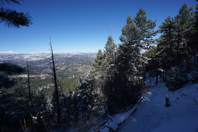
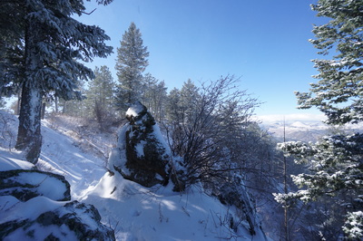
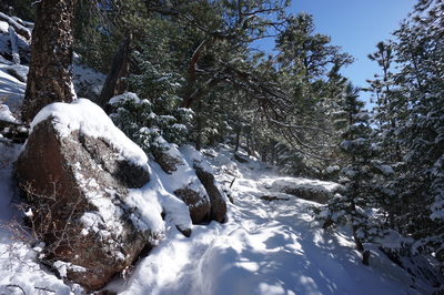
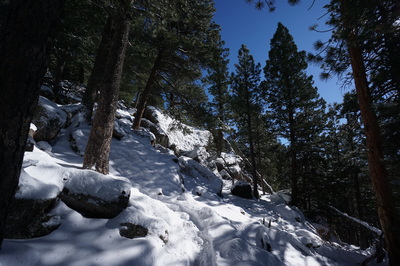
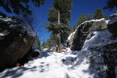
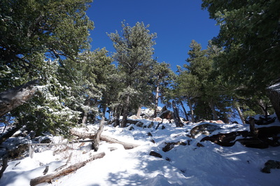
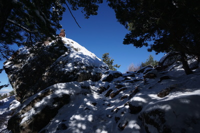
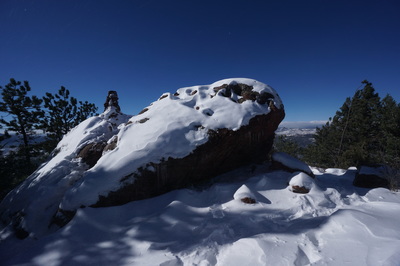
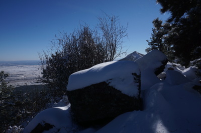
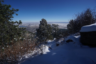
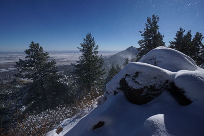
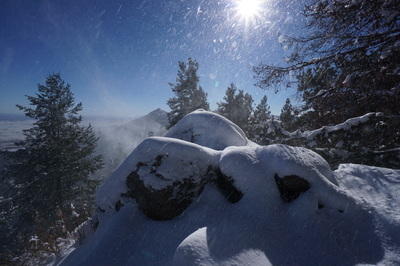
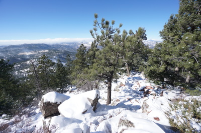
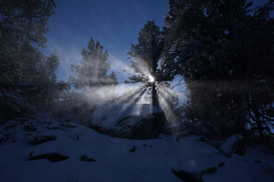
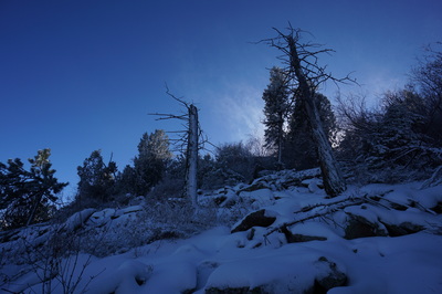
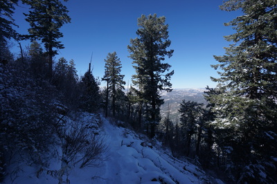
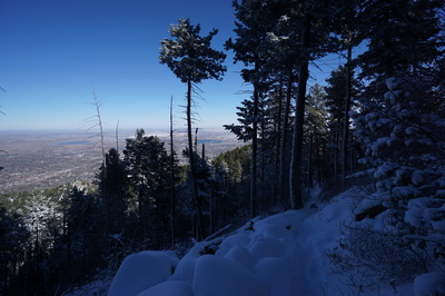
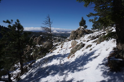
Green Mountain is the smallest of the three Boulder Peaks (S. Boulder Peak and Bear Peak being the others) but is still a moderately difficult hike up to a wonderful vantage point. The hike is truly beautiful, especially the day after a snow storm.
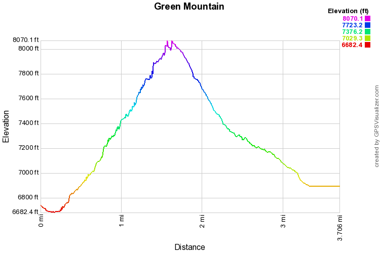
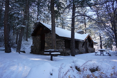
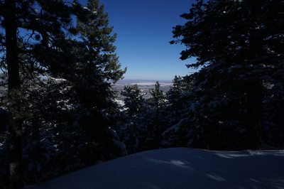
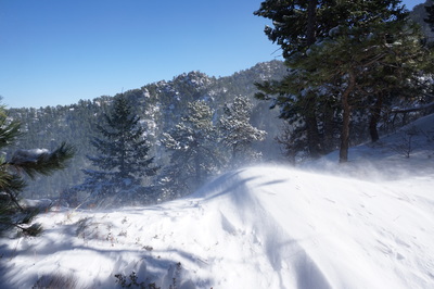
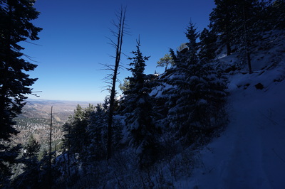
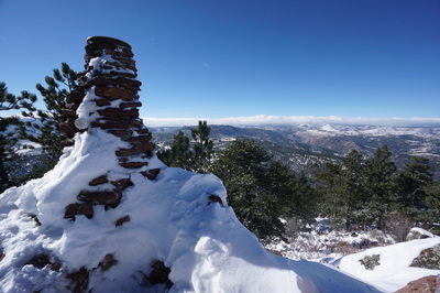
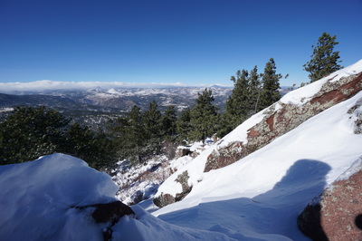
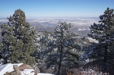
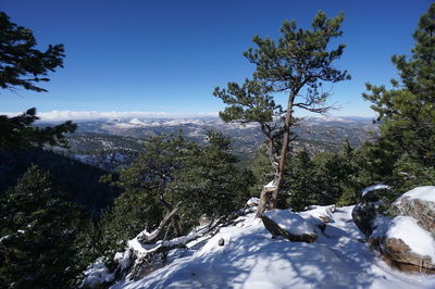
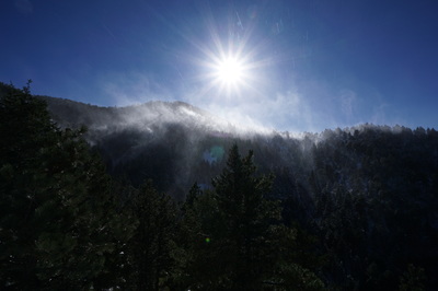
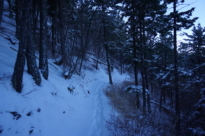
The usual route up Green Mountain starts at the Gregory Canyon Trailhead but another great option is to start from Realization Point. Doing so cuts out about 1.5 miles each way and about 1,000 ft of elevation gain. In the winter, the lower mileage really helps as the snow makes the hike much more strenuous. Due to the popularity of this trail the path should be pretty well traveled and packed down, even after a good snow. However, there is a section where you climb along a ridge and the wind gets pretty intense. It is possible to lose your way in this area, but just keep heading uphill along the ridge until the wind subsides and the path becomes prominent again. From the parking area head down the side-road to the Green Mountain Lodge and gate. Pass through the gate and head downhill to the Ranger Trail. Follow the Ranger Trail south as it climbs moderately past the Green Mountain Lodge and through thick pine forest to the junction with the E.M. Greenman Trail. Stay straight on the Ranger Trail as it gains elevation and deposits you on the windy ridge line. The views to the west become expansive on this area as it is much more exposed then the rest of the trail. Follow the ridge until the forest envelopes you again and the switchbacks get tighter nearing the summit. From here, the switchbacks tighten as you reach the junction with the West Ridge Trail at 1.4 miles. Turn left onto the West Ridge Trail and climb for another .1 miles to the rocky summit. The views are spectacular as the landscape stretches out to the east over Boulder and the west towards the Indian Peaks. Also noteworthy is the view of Bear Peak to the south. A good return option is to drop down the east face of the mountain and follow the E.M Greenman Trail back to the Ranger Trail. This route adds a good downhill mile and makes for a nice loop. Once back at the Ranger trail turn right and retrace your steps back to the trailhead. The trail is very popular so your best bet is to pick a time when fewer people are hiking. Weekday mornings are a good bet but even better is the day after a snow storm, you'll have the whole frosty mountain to yourself. |
- HOME
- ABOUT
-
HIKES BY REGION
-
NATIONAL PARK HIKES
- BENT'S OLD FORT NATIONAL HISTORIC SITE
- BLACK CANYON OF THE GUNNISON NATIONAL PARK
- COLORADO NATIONAL MONUMENT
- CURECANTI NATIONAL RECREATION AREA
- DINOSAUR NATIONAL MONUMENT
- FLORISSANT FOSSIL BEDS NATIONAL MONUMENT
- MESA VERDE NATIONAL PARK
- ROCKY MOUNTAIN NATIONAL PARK
- GREAT SAND DUNES NATIONAL PARK
- HOVENWEEP NATIONAL MONUMENT
- SAND CREEK MASSACRE NATIONAL HISTORIC SITE
- YUCCA HOUSE NATIONAL MONUMENT
- HIKES BY CATEGORY
- NEWS
- WEBCAMS
- $UPPORT GHC
- INTERACTIVE MAP
Green Mountain from Realization Point
Boulder Open Space & Mountain Parks
Date Hiked: November 11, 2015
Distance: 3.7 mi (RT)
Elevation Gain: 1,500 ft
Elevation Min/Max: 6,682 to 8,144 ft
Trailhead Lat/Long: 39º 59' 48" N; 105º 18' 33" W
Managing Agency: City of Boulder Open Space & Mt. Parks
Fee: Yes

