GO HIKE COLORADO
Get in Touch:
  • HOME
  • ABOUT
  • HIKES BY REGION
    • DENVER AREA >
      • Denver Mountain Parks
      • Jefferson County Open Space
      • Lakewood Parks
      • Denver Area Greenways
    • BOULDER AREA
    • DOUGLAS COUNTY
    • FORT COLLINS AREA
    • COLORADO SPRINGS AREA
    • FRONT RANGE
    • TENMILE & MOSQUITO RANGES
    • GORE RANGE
    • SANGRE DE CRISTO MOUNTAINS
    • PARK RANGE
    • SAWATCH RANGE
    • ELK MOUNTAINS
    • SAN JUAN MOUNTAINS
    • THE FLAT TOPS
    • GRAND MESA
    • COLORADO PLATEAU
    • EASTERN PLAINS
  • NATIONAL PARK HIKES
    • BENT'S OLD FORT NATIONAL HISTORIC SITE
    • BLACK CANYON OF THE GUNNISON NATIONAL PARK
    • COLORADO NATIONAL MONUMENT
    • CURECANTI NATIONAL RECREATION AREA
    • DINOSAUR NATIONAL MONUMENT
    • FLORISSANT FOSSIL BEDS NATIONAL MONUMENT
    • MESA VERDE NATIONAL PARK
    • ROCKY MOUNTAIN NATIONAL PARK
    • GREAT SAND DUNES NATIONAL PARK
    • HOVENWEEP NATIONAL MONUMENT
    • SAND CREEK MASSACRE NATIONAL HISTORIC SITE
    • YUCCA HOUSE NATIONAL MONUMENT
  • HIKES BY CATEGORY
    • HIKES TO ALPINE LAKES
    • HIKES TO PEAKS & PASSES
    • HIKES THROUGH CANYONS
    • HIKES WITH FALL COLORS
    • HIKES ALONG THE I-70 CORRIDOR
    • HIKES ON PAVED TRAILS
    • HIKES FOR KIDS
    • HIKES TO WATERFALLS
    • HIKES ALONG RIVERS
    • HIKES WITH ROCK FORMATIONS
    • HIKES WITH WILDFLOWERS
    • WINTER HIKES
  • NEWS
  • WEBCAMS
  • $UPPORT GHC
  • INTERACTIVE MAP

Homestead > Messa > Towhee Loop
Boulder Mountain Park

Date Hiked: September 9, 2012

​Distance: 2.5 mi (RT)
Elevation Start: 5,608ft
Managing Agency: City of Boulder Open Space & Mt. Parks
Fee: Yes

Homestead/Mesa/Towhee Trail Map
Picture

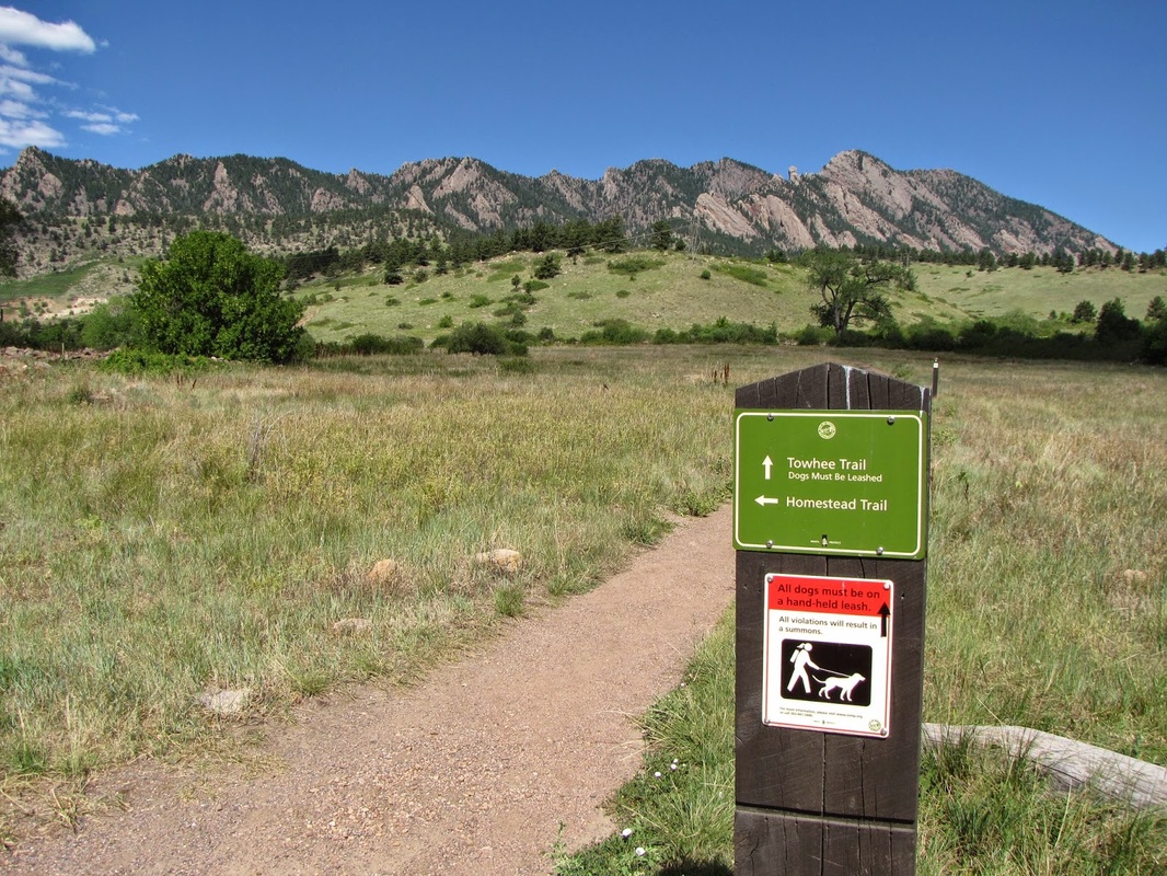
Directions: From Denver or Boulder take Hwy 93 to Eldorado Springs Road and head west.  The South Mesa Trailhead is on the right just after the Doudy Draw Trailhead.

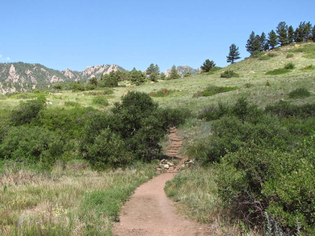
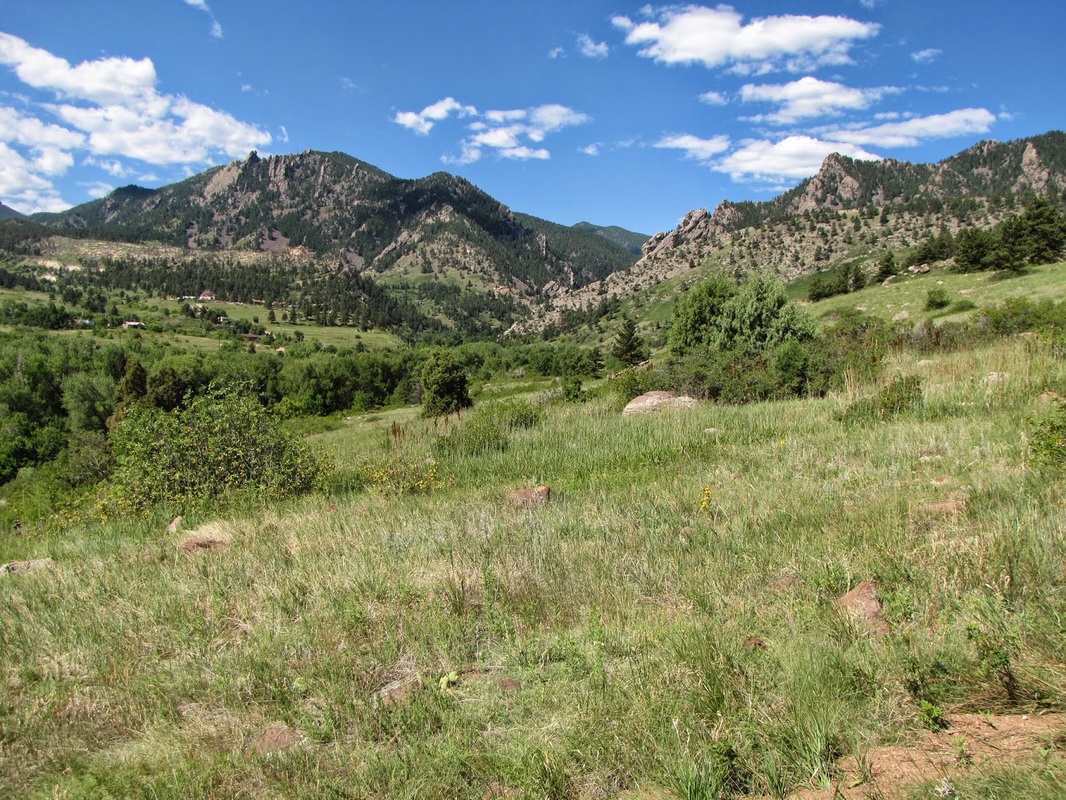
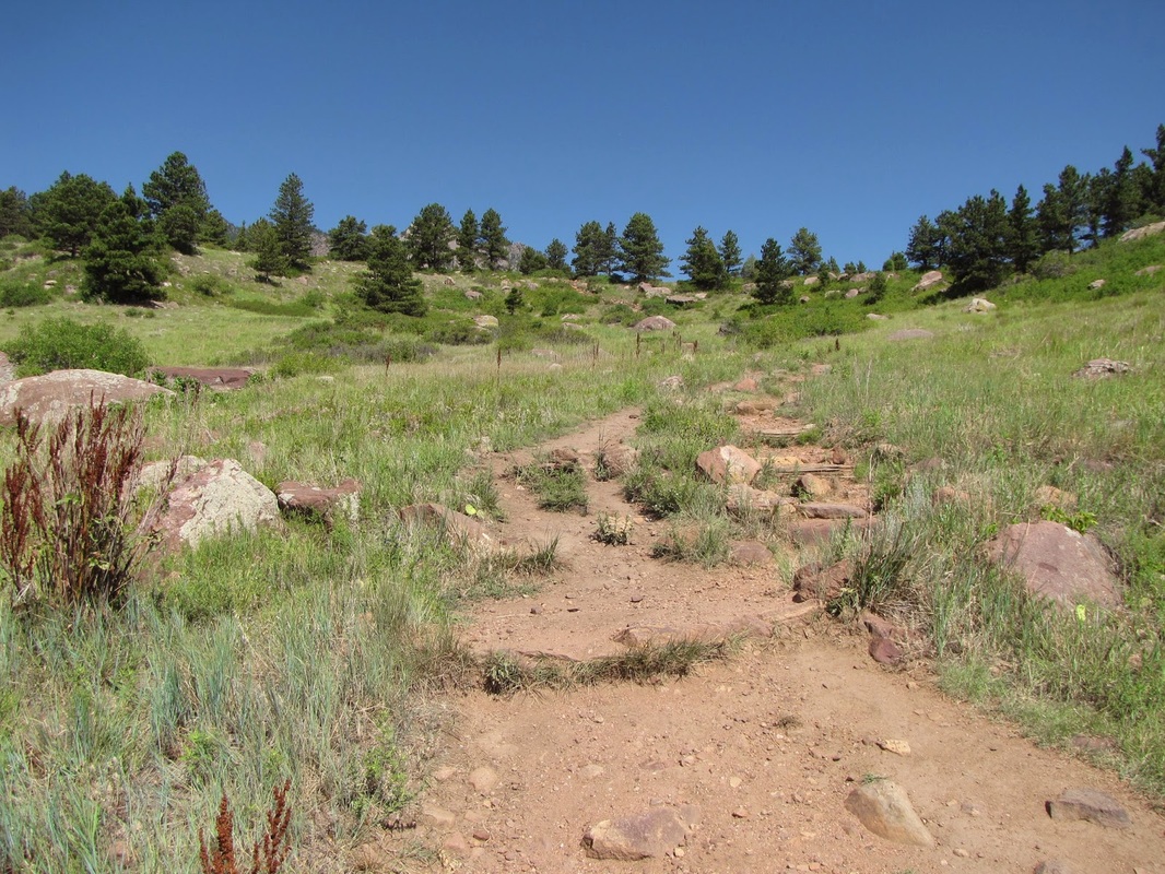
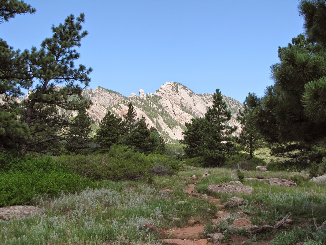
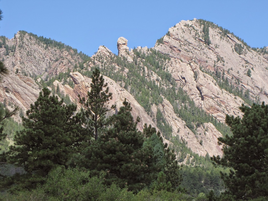
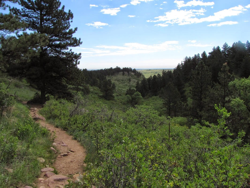
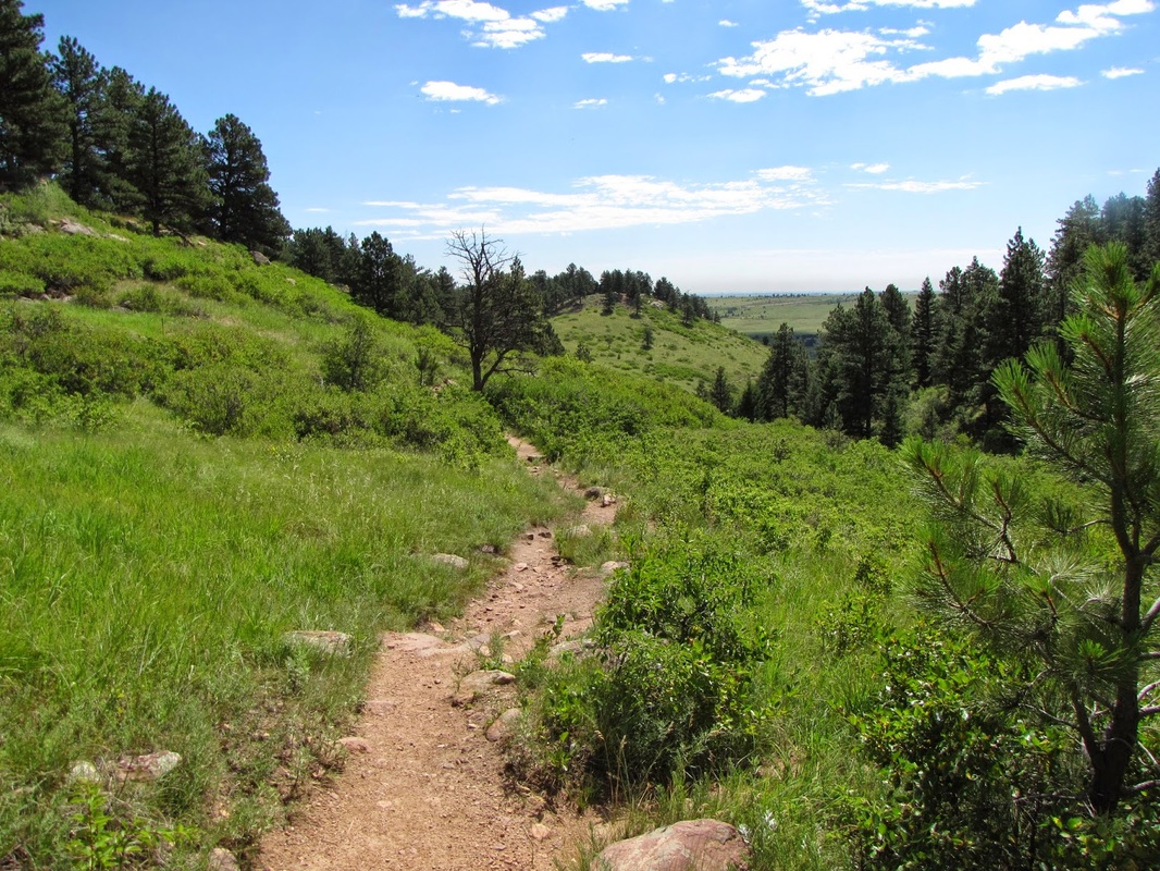
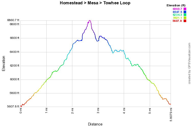
I hiked this loop as a plan B.  I had meant to hike S. Boulder Peak via Shadow Canyon, but unfortunately when I reached the Mesa Trail Junction I got an emergency work call and had to cut the hike short.  As I was running down the Towhee Trail I couldn’t help but note that this would be a wonderful loop hike in itself, if one has the time to enjoy it.

From the South Mesa Trailhead head northwest on the Homestead Trail steadily gaining elevation over rolling hills and across rocky terrain with isolated pockets of evergreen and scrub trees.  The trail gains enough elevation to get the heart beat running but is easy enough to make it enjoyable and relaxing.  When you reach the Mesa Trail turn right and follow this for just a short while.  Turn right again on the Towhee Trail and follow it as it gradually descends back to the South Mesa Trailhead. The Towhee trail has a wonderful mix of wildflowers, green grasses, and red rock poking through the topsoil.  Almost the entire loop offers great views of the surrounding foothills from Eldorado Mountain to the South, to S. Boulder and Bear Peaks straight West, and the Flatirons and Green Mountain to the North.
Powered by Create your own unique website with customizable templates.