|
Directions: From Denver, head North on I-25 and West on Hwy 36 towards Boulder. Take the Northwest Parkway exit and head North.
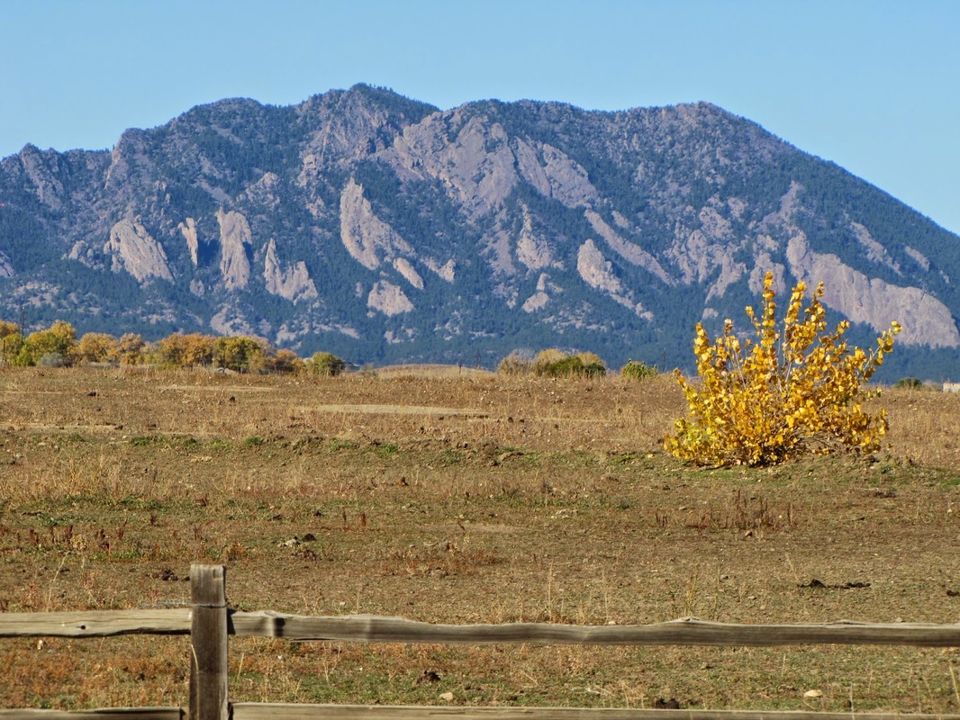
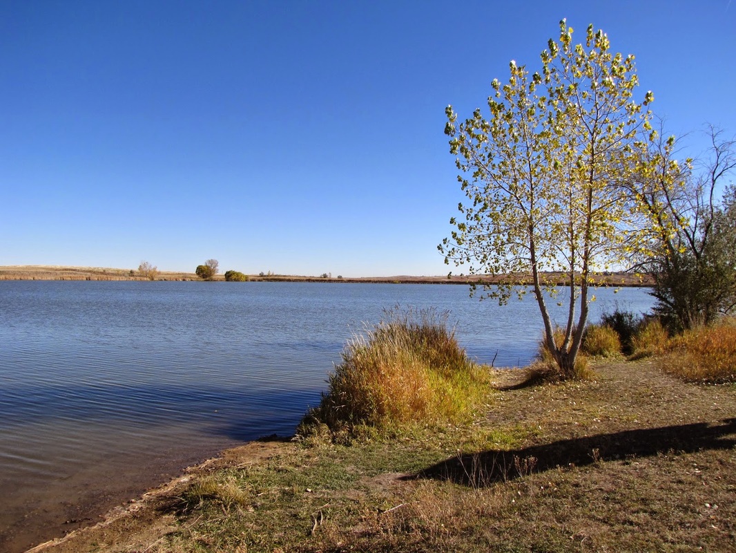
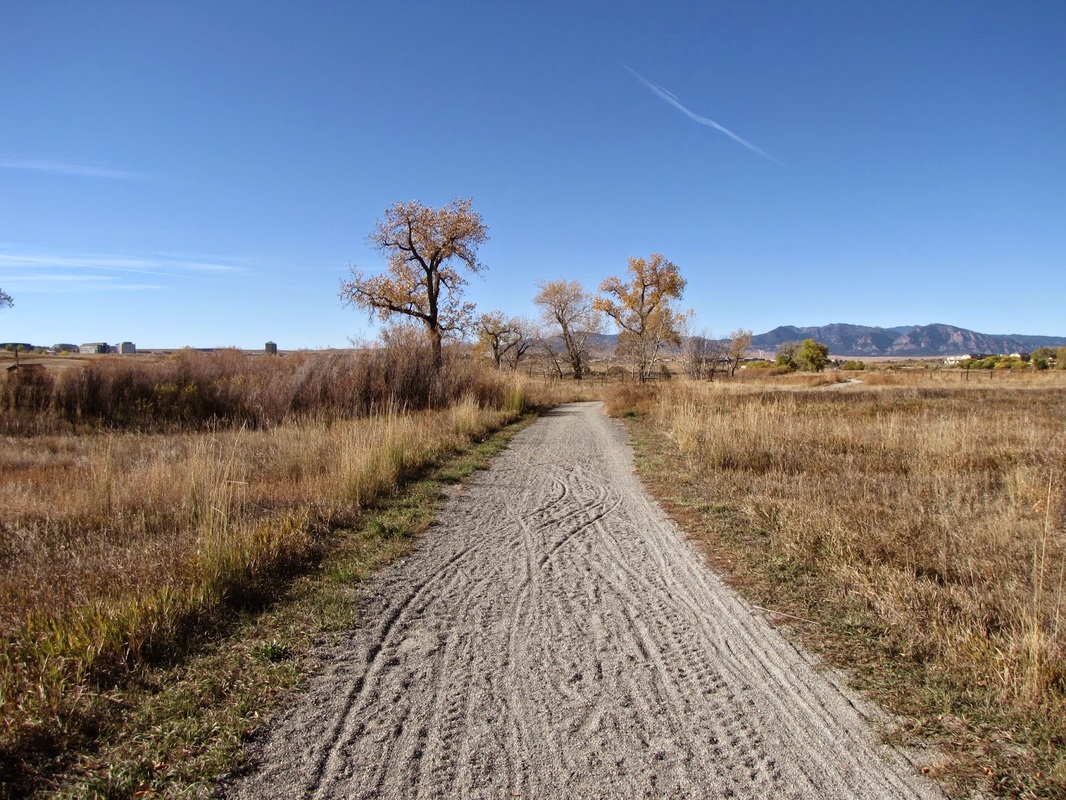
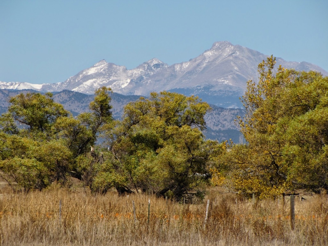
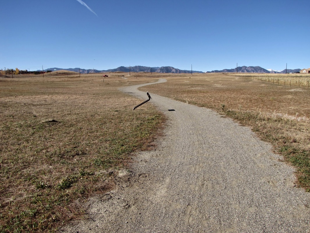
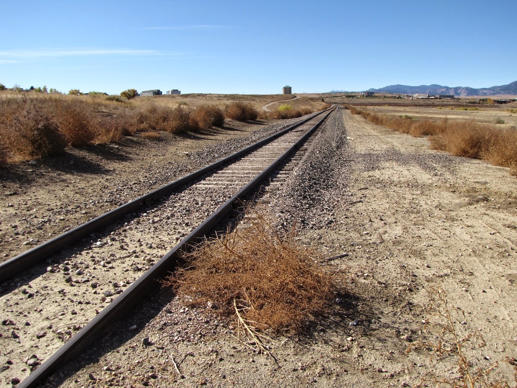
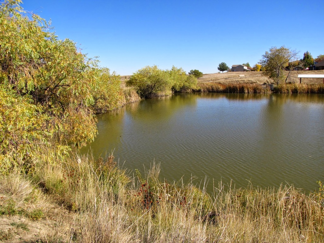
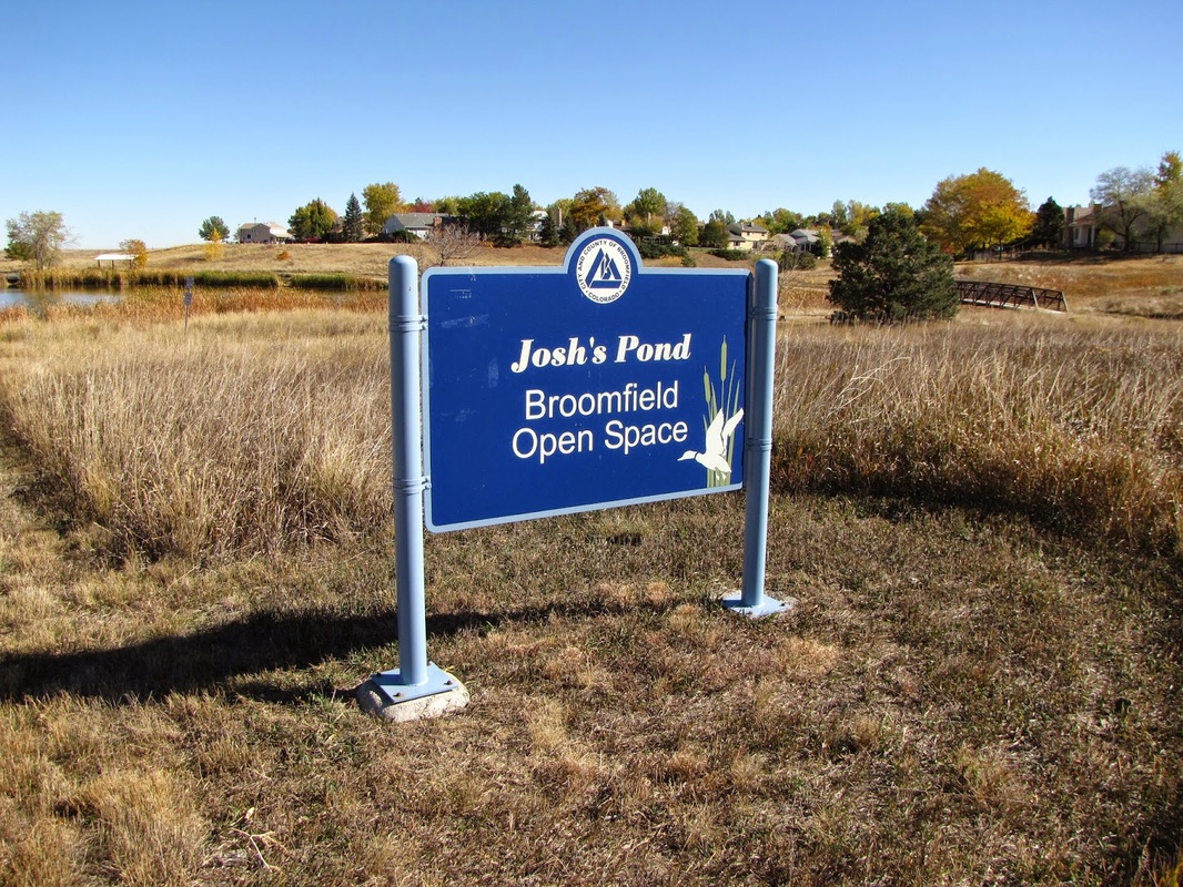
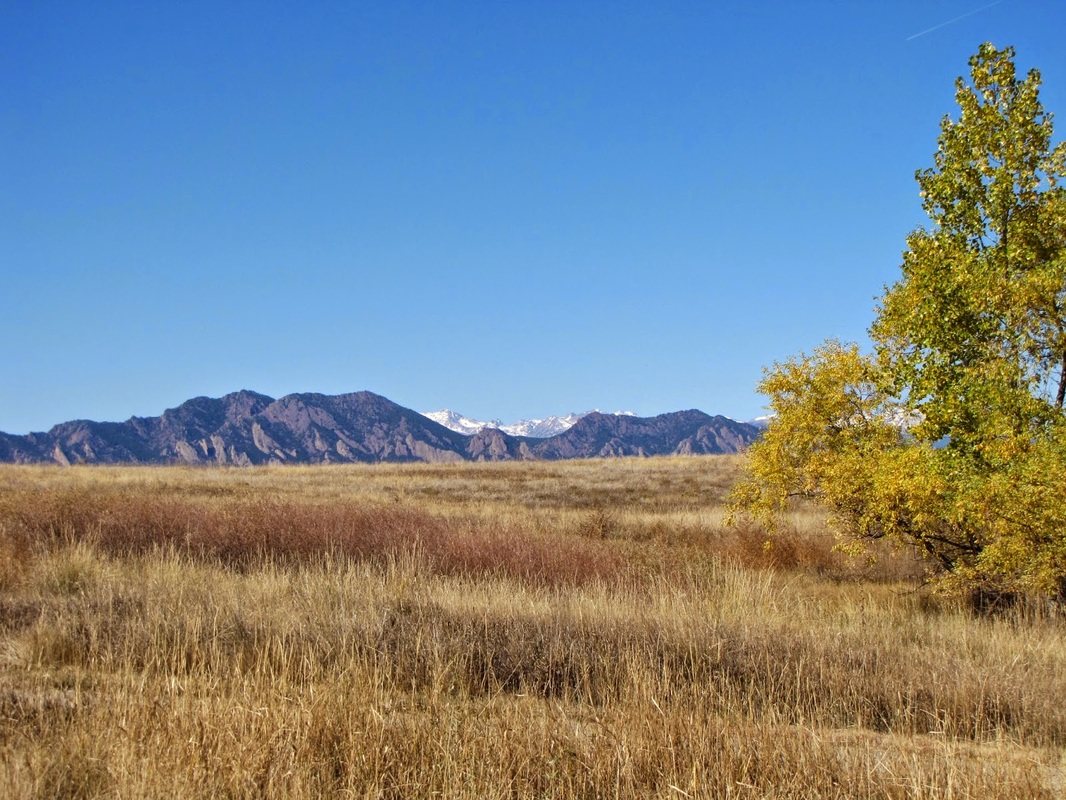
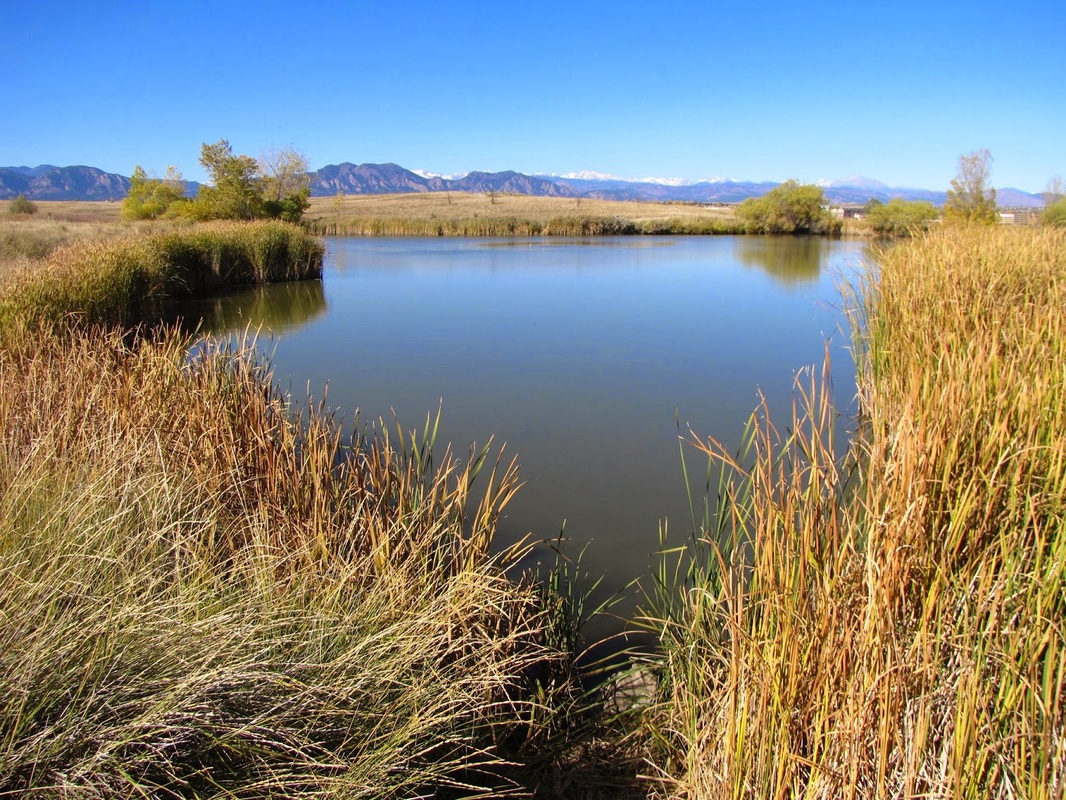
Carolyn Holmberg Preserve is a pleasant walk through the plains east of Boulder. The hike is most enjoyable in the fall when the temperatures cool down and the colors heat up. The entirety of the hike has fantastic views of the foothills of Boulder with Long's Peak towering in the distance. The hike is mostly flat and very well defined, making it great for kids or trail running. Start by following the Craddleboard Trail along the South shore of Stearns Lake. When you reach the first trail intersection make a right turn continuing South on the Craddleboard Trail. At the second trail junction stay on the Craddleboard Trail by turning left, South again. The third junction is where you leave the Craddleboard Trail for the Lake Link Trail, part of the Broomfield Parks and Open Space system. Take this a short while until you cross the railroad tracks, you are now on the Lac Amora Trail which will take you to Josh's Pond Open Space. Josh's Pond is a small but pretty pond just on the edge of Broomfield residential development with nice views of the Front Range. The pond makes for a good destination and turn around point, head back the same way. |
|
- HOME
- ABOUT
-
HIKES BY REGION
-
NATIONAL PARK HIKES
- BENT'S OLD FORT NATIONAL HISTORIC SITE
- BLACK CANYON OF THE GUNNISON NATIONAL PARK
- COLORADO NATIONAL MONUMENT
- CURECANTI NATIONAL RECREATION AREA
- DINOSAUR NATIONAL MONUMENT
- FLORISSANT FOSSIL BEDS NATIONAL MONUMENT
- MESA VERDE NATIONAL PARK
- ROCKY MOUNTAIN NATIONAL PARK
- GREAT SAND DUNES NATIONAL PARK
- HOVENWEEP NATIONAL MONUMENT
- SAND CREEK MASSACRE NATIONAL HISTORIC SITE
- YUCCA HOUSE NATIONAL MONUMENT
- HIKES BY CATEGORY
- NEWS
- WEBCAMS
- $UPPORT GHC
- INTERACTIVE MAP
Stearns Lake to Josh's Pond
Carolyn Holmberg Preserve at Rock Creek Park
Date Hiked: October 23, 2011
Distance: 3 mi (RT)