GO HIKE COLORADO
Get in Touch:
  • HOME
  • ABOUT
  • HIKES BY REGION
    • DENVER AREA >
      • Denver Mountain Parks
      • Jefferson County Open Space
      • Lakewood Parks
      • Denver Area Greenways
    • BOULDER AREA
    • DOUGLAS COUNTY
    • FORT COLLINS AREA
    • COLORADO SPRINGS AREA
    • FRONT RANGE
    • TENMILE & MOSQUITO RANGES
    • GORE RANGE
    • SANGRE DE CRISTO MOUNTAINS
    • PARK RANGE
    • SAWATCH RANGE
    • ELK MOUNTAINS
    • SAN JUAN MOUNTAINS
    • THE FLAT TOPS
    • GRAND MESA
    • COLORADO PLATEAU
    • EASTERN PLAINS
  • NATIONAL PARK HIKES
    • BENT'S OLD FORT NATIONAL HISTORIC SITE
    • BLACK CANYON OF THE GUNNISON NATIONAL PARK
    • COLORADO NATIONAL MONUMENT
    • CURECANTI NATIONAL RECREATION AREA
    • DINOSAUR NATIONAL MONUMENT
    • FLORISSANT FOSSIL BEDS NATIONAL MONUMENT
    • MESA VERDE NATIONAL PARK
    • ROCKY MOUNTAIN NATIONAL PARK
    • GREAT SAND DUNES NATIONAL PARK
    • HOVENWEEP NATIONAL MONUMENT
    • SAND CREEK MASSACRE NATIONAL HISTORIC SITE
    • YUCCA HOUSE NATIONAL MONUMENT
  • HIKES BY CATEGORY
    • HIKES TO ALPINE LAKES
    • HIKES TO PEAKS & PASSES
    • HIKES THROUGH CANYONS
    • HIKES WITH FALL COLORS
    • HIKES ALONG THE I-70 CORRIDOR
    • HIKES ON PAVED TRAILS
    • HIKES FOR KIDS
    • HIKES TO WATERFALLS
    • HIKES ALONG RIVERS
    • HIKES WITH ROCK FORMATIONS
    • HIKES WITH WILDFLOWERS
    • WINTER HIKES
  • NEWS
  • WEBCAMS
  • $UPPORT GHC
  • INTERACTIVE MAP

Flatirons Vista Trail
Boulder Mountain Park

Date Hiked: September 11, 2012

Distance: 3.5 mi (RT)
Elevation Gain: 300ft
Elevation Min/Max: 5,871 to 6,199ft
Managing Agency: City of Boulder Open Space & Mt. Parks
Fee: None

Flatirons Vista Trailhead Map
Picture

Directions:  From Boulder, head south on Hwy 93 past the turn-off for Eldorado Springs, and Past Marshal Mesa.  The trailhead will be on the right (west).  From Denver, head west on I-70 to 58, west on 58 to 93, north on 93 to the Trailhead.

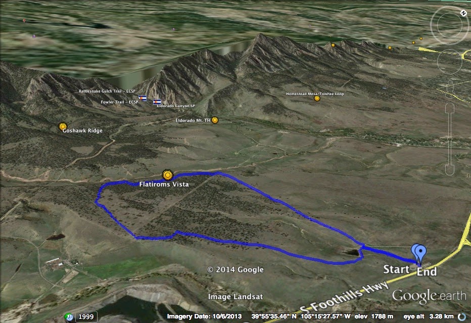
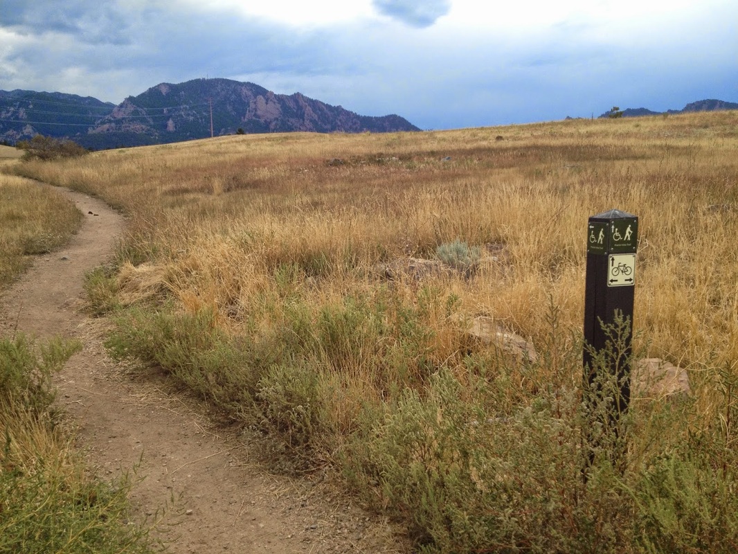
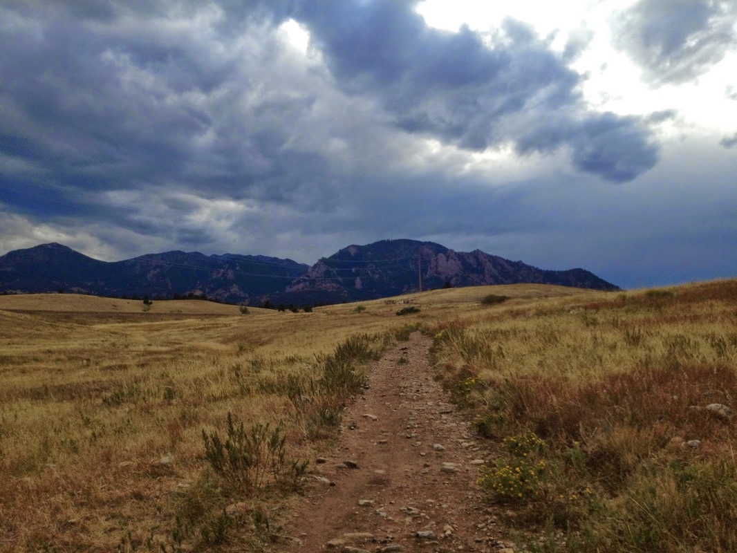
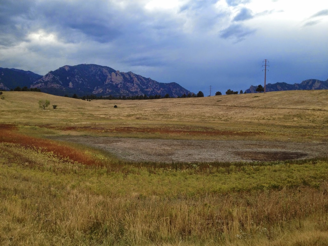
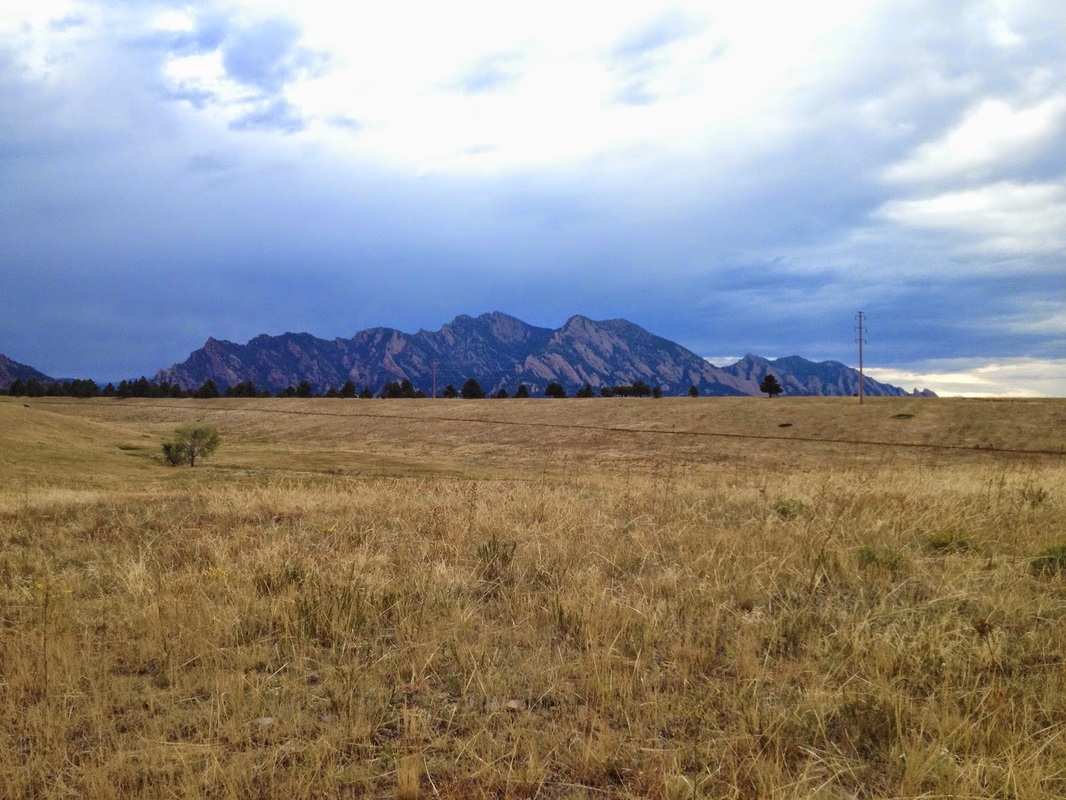
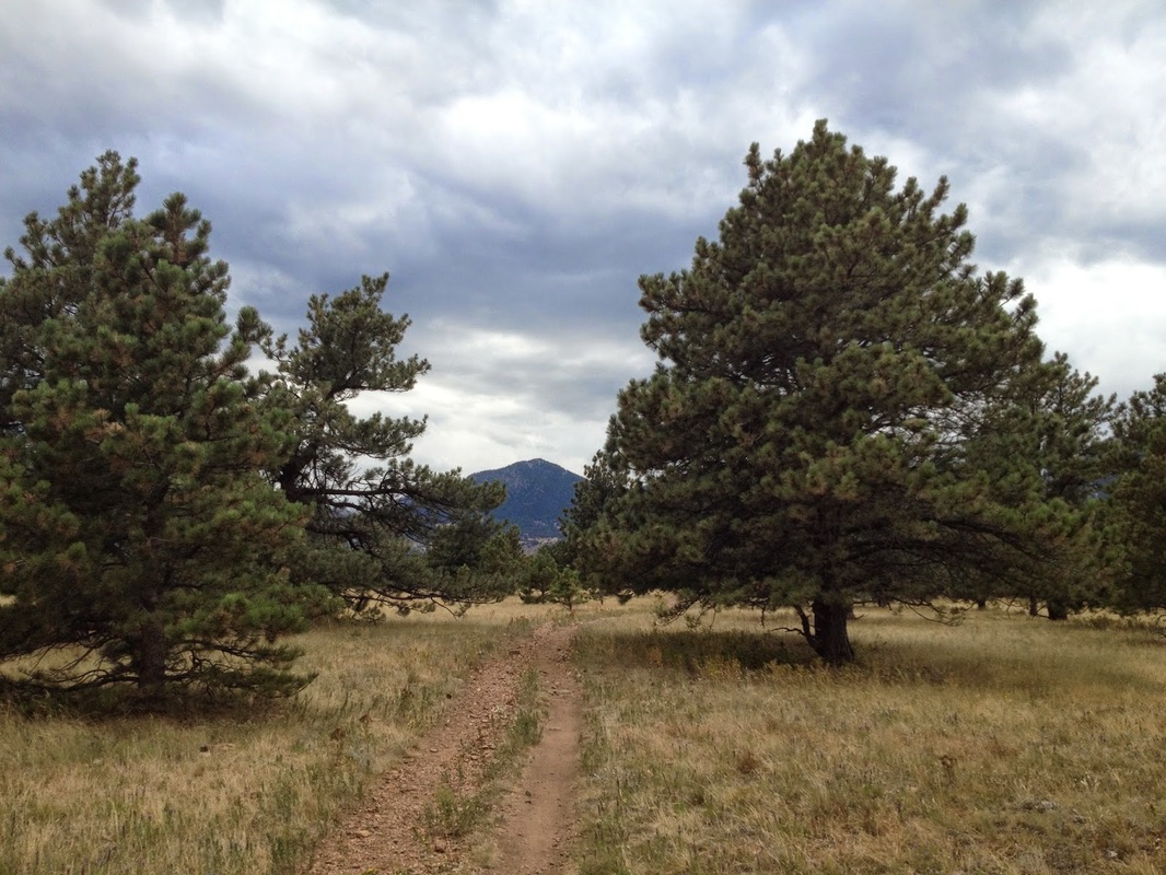
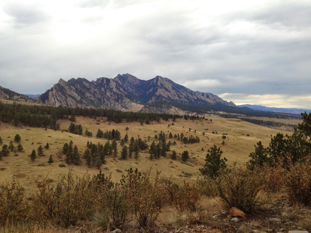
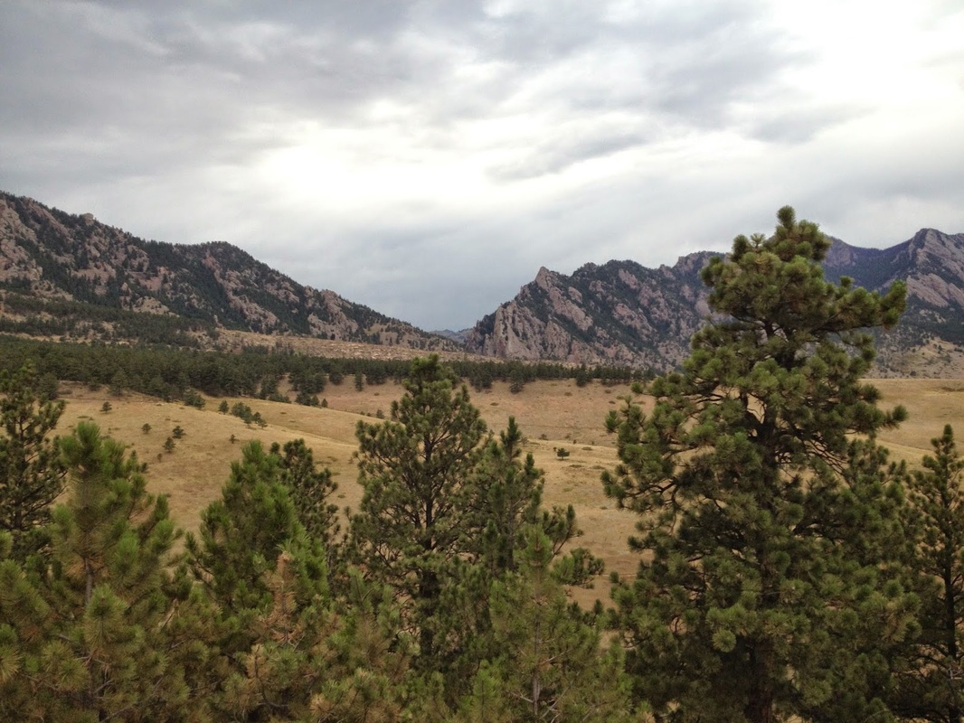
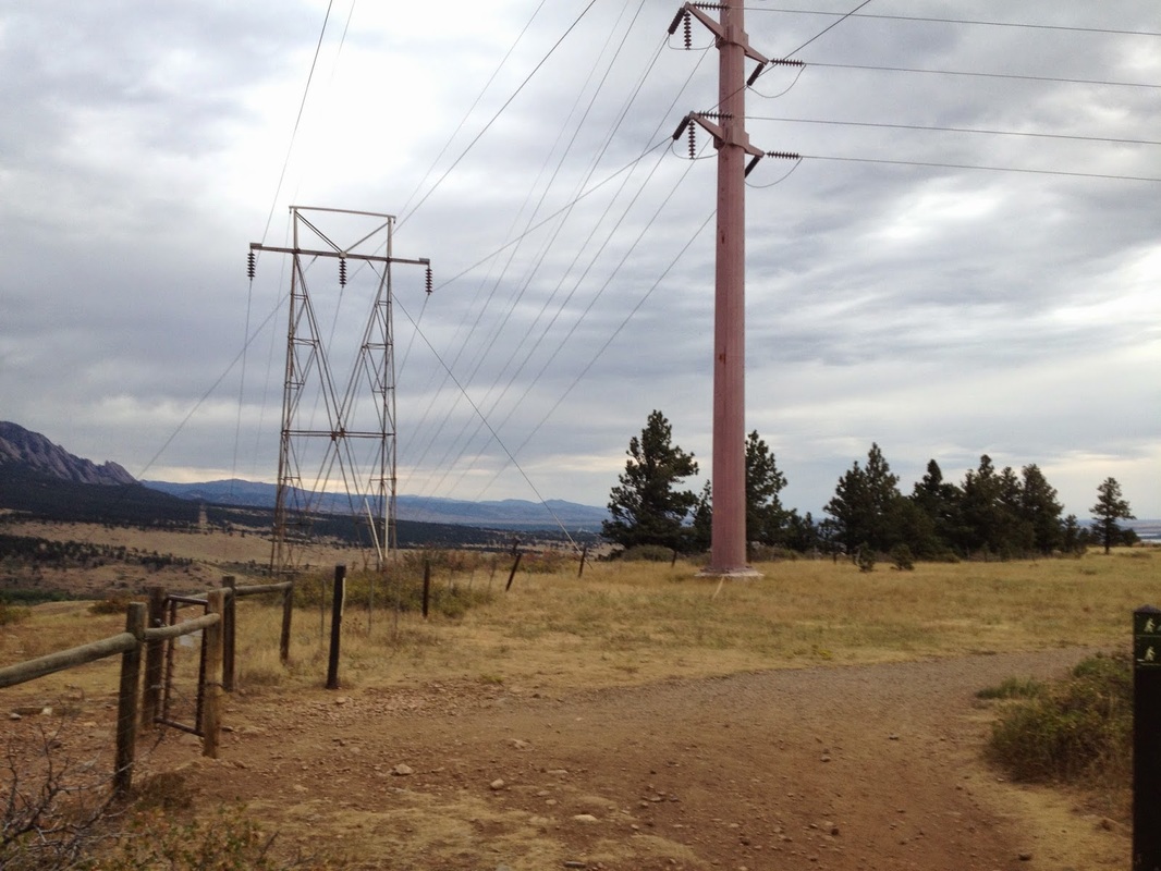
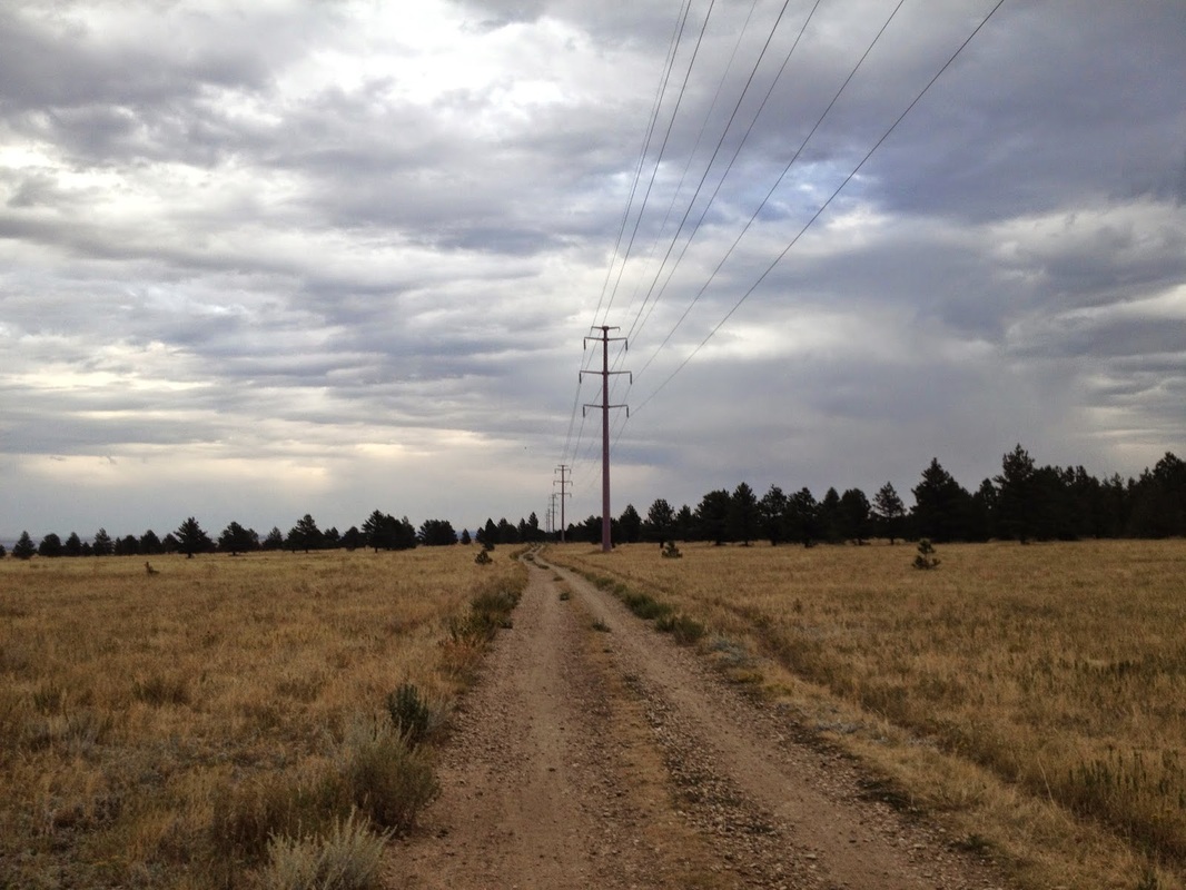
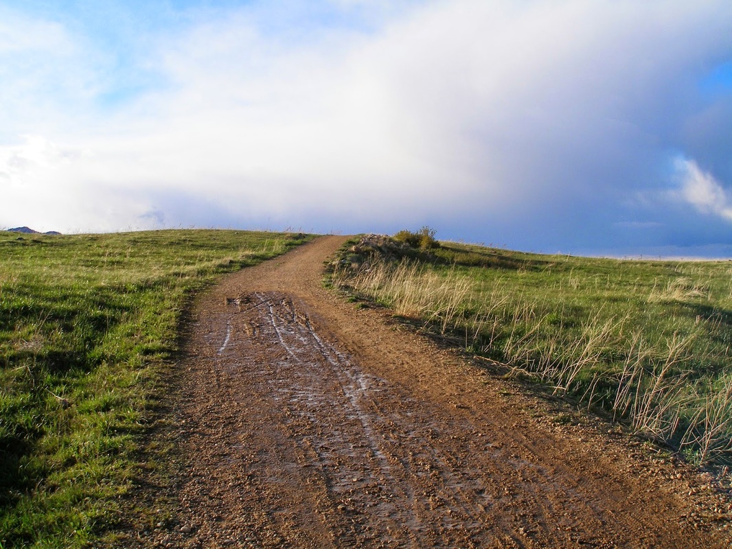
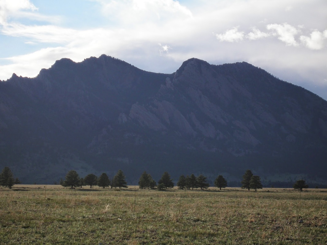
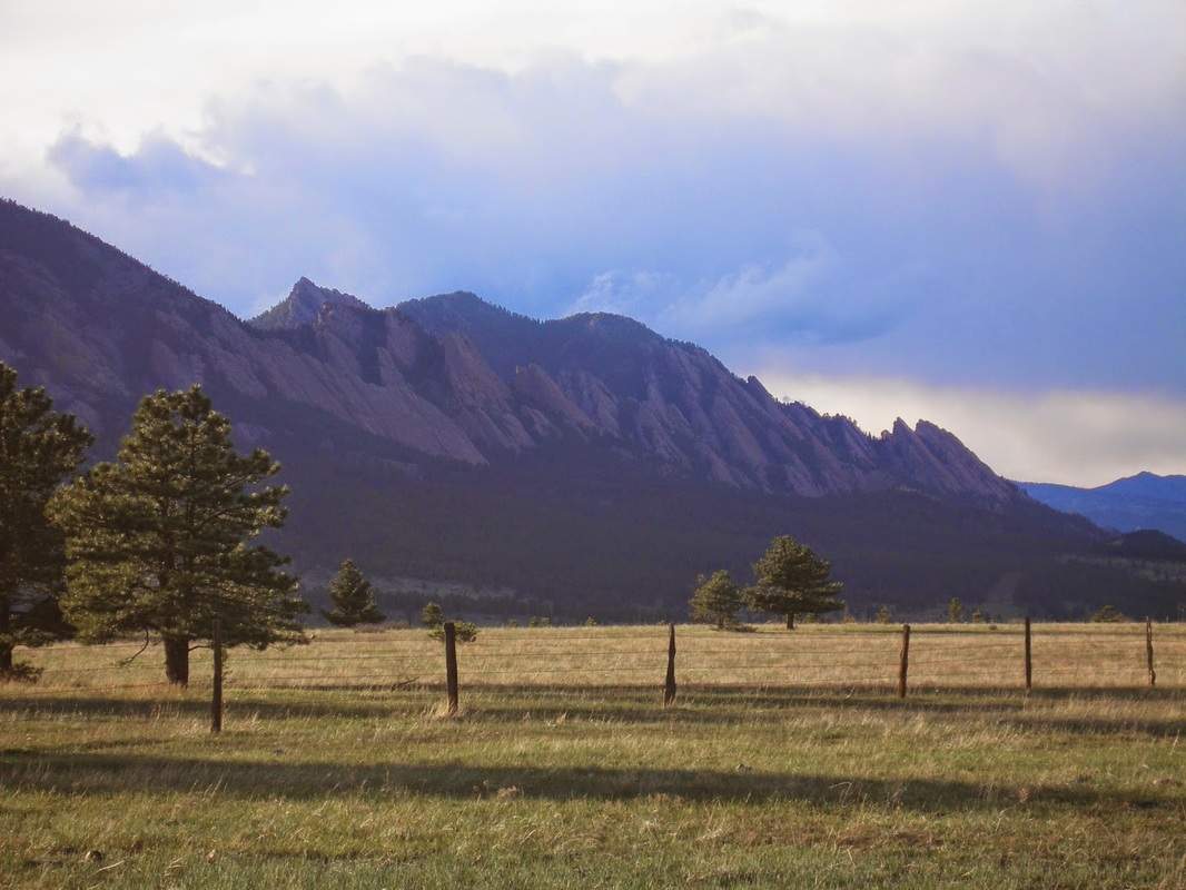
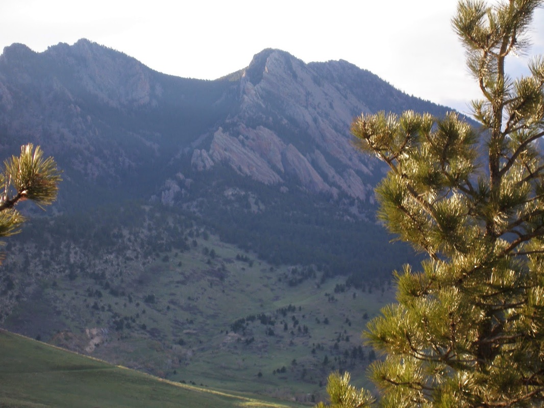
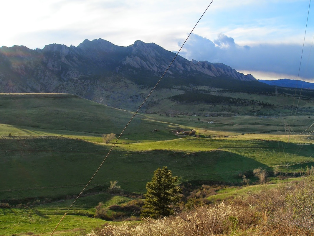
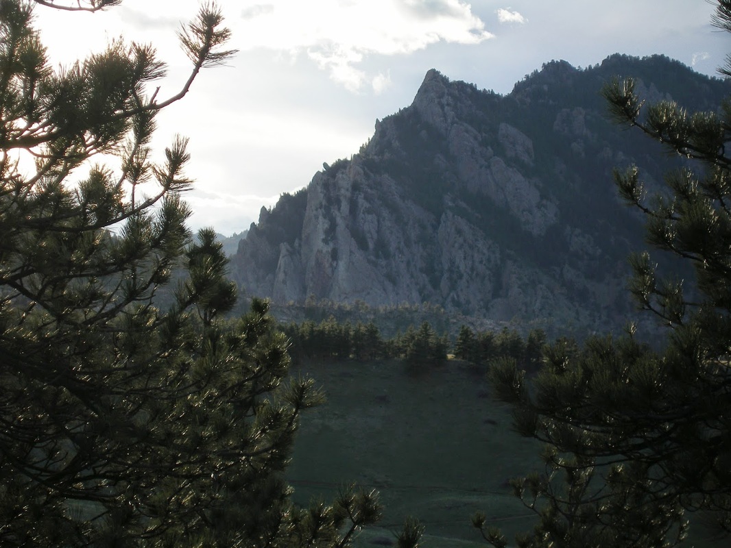
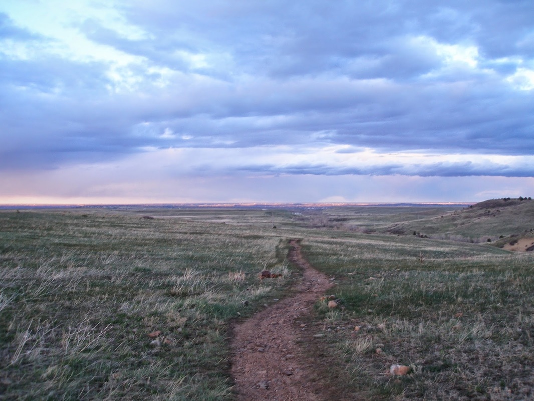
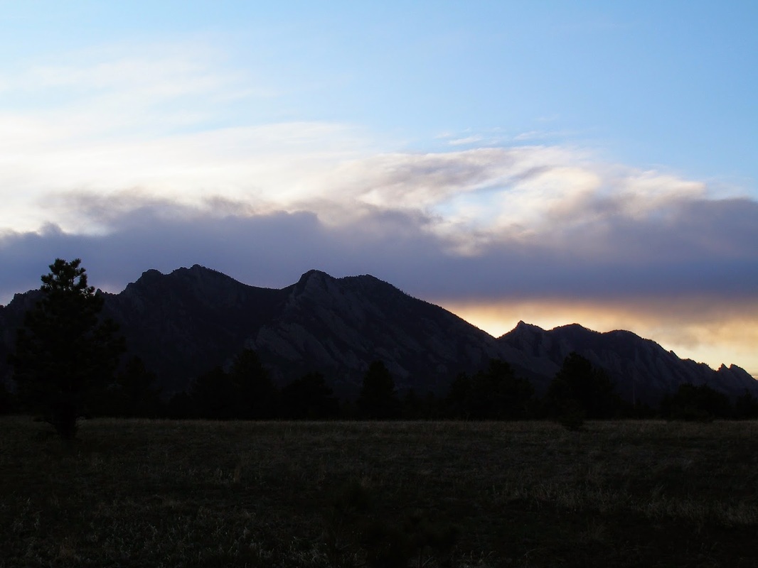
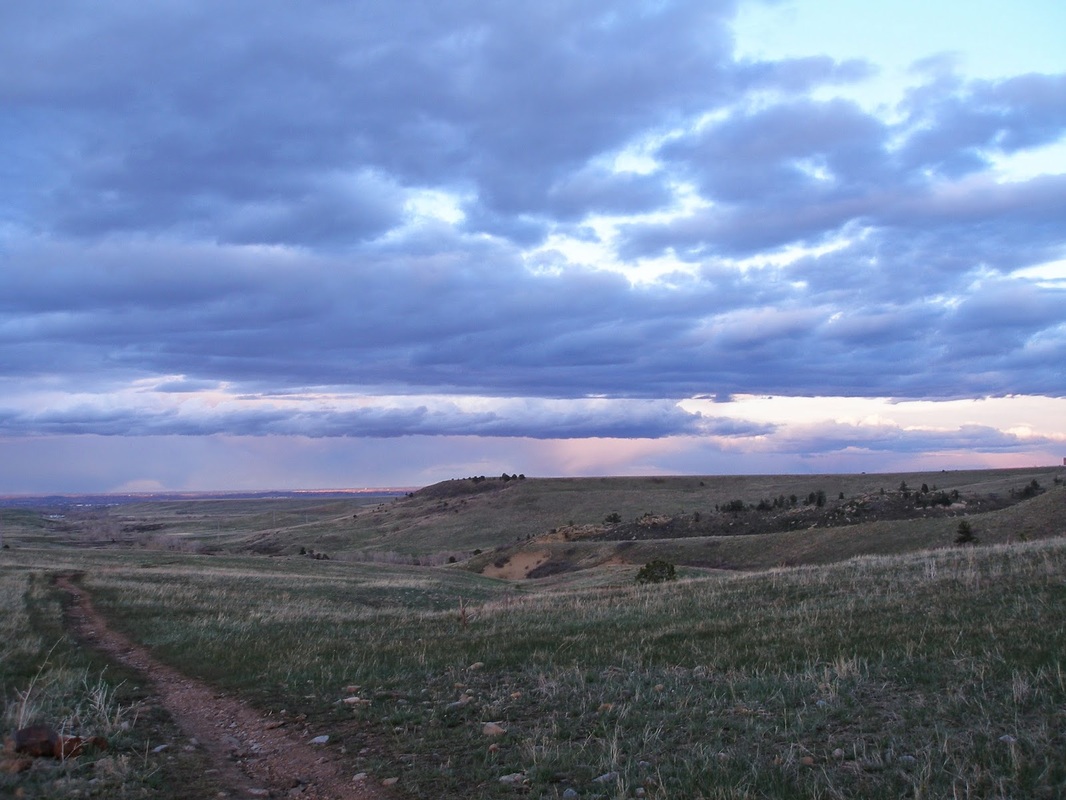
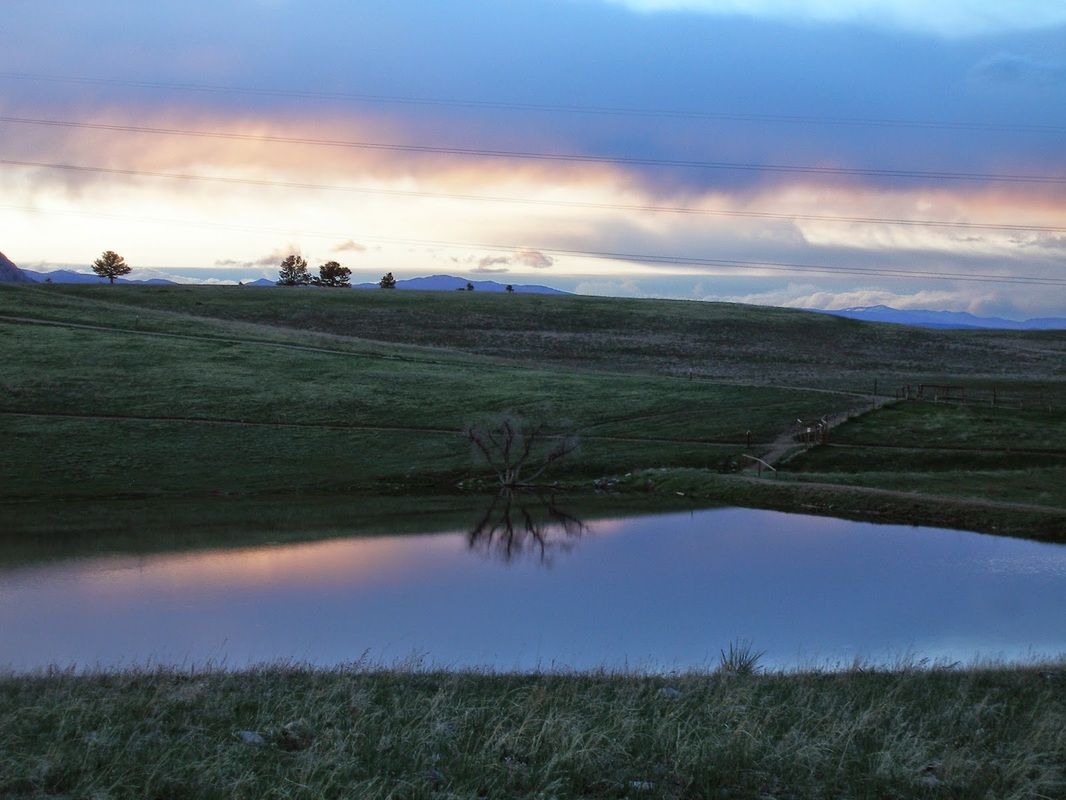
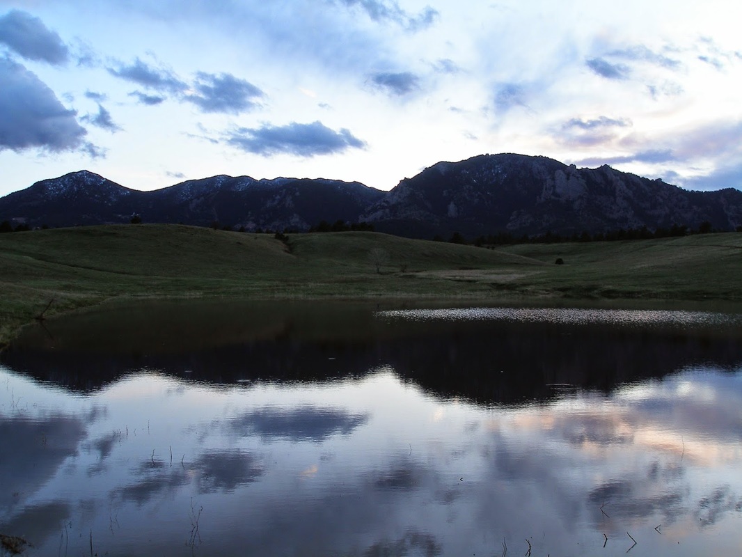
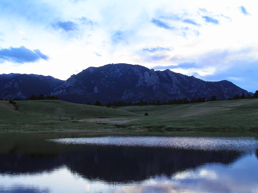
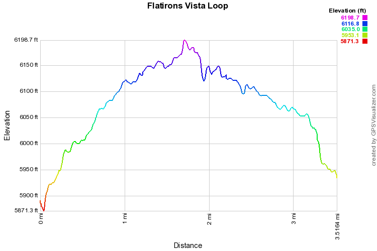
The Flatirons Vista trail does not lie...it gives you a great view of the Flatirons...  The trail is mostly flat and I suggest hiking the loop counter-clockwise, this gives you a nicer return trip.  The first part of the hike can get monotonous, follow a dirt road and the power lines straight back to the Flatirons Vista.  Once you reach the fence, with the view of the Flatirons, you have two choices, you can continue down the hill and hook up with the Doudy Draw trail, or you can continue the Flatirons Vista loop, which is described here.  If you stay to the left and follow the fence, your return trip will take you trough a very pleasant pine forest back to the trailhead.  This way is much nicer than following the power lines.  The hike is easy to follow and straightforward.  The view of the Flatirons is wonderful and should not be missed.
Powered by Create your own unique website with customizable templates.