GO HIKE COLORADO
Get in Touch:
  • HOME
  • ABOUT
  • HIKES BY REGION
    • DENVER AREA >
      • Denver Mountain Parks
      • Jefferson County Open Space
      • Lakewood Parks
      • Denver Area Greenways
    • BOULDER AREA
    • DOUGLAS COUNTY
    • FORT COLLINS AREA
    • COLORADO SPRINGS AREA
    • FRONT RANGE
    • TENMILE & MOSQUITO RANGES
    • GORE RANGE
    • SANGRE DE CRISTO MOUNTAINS
    • PARK RANGE
    • SAWATCH RANGE
    • ELK MOUNTAINS
    • SAN JUAN MOUNTAINS
    • THE FLAT TOPS
    • GRAND MESA
    • COLORADO PLATEAU
    • EASTERN PLAINS
  • NATIONAL PARK HIKES
    • BENT'S OLD FORT NATIONAL HISTORIC SITE
    • BLACK CANYON OF THE GUNNISON NATIONAL PARK
    • COLORADO NATIONAL MONUMENT
    • CURECANTI NATIONAL RECREATION AREA
    • DINOSAUR NATIONAL MONUMENT
    • FLORISSANT FOSSIL BEDS NATIONAL MONUMENT
    • MESA VERDE NATIONAL PARK
    • ROCKY MOUNTAIN NATIONAL PARK
    • GREAT SAND DUNES NATIONAL PARK
    • HOVENWEEP NATIONAL MONUMENT
    • SAND CREEK MASSACRE NATIONAL HISTORIC SITE
    • YUCCA HOUSE NATIONAL MONUMENT
  • HIKES BY CATEGORY
    • HIKES TO ALPINE LAKES
    • HIKES TO PEAKS & PASSES
    • HIKES THROUGH CANYONS
    • HIKES WITH FALL COLORS
    • HIKES ALONG THE I-70 CORRIDOR
    • HIKES ON PAVED TRAILS
    • HIKES FOR KIDS
    • HIKES TO WATERFALLS
    • HIKES ALONG RIVERS
    • HIKES WITH ROCK FORMATIONS
    • HIKES WITH WILDFLOWERS
    • WINTER HIKES
  • NEWS
  • WEBCAMS
  • $UPPORT GHC
  • INTERACTIVE MAP

Chautauqua > Bluebell Mesa Loop
Boulder Mountain Park

Date Hiked: January 13, 2013

Distance: 1.5 mi (RT)
Elevation Gain: 500ft
Elevation Min/Max: 5,642 to 6,184ft
Managing Agency: City of Boulder Open Space & Mt. Parks

Chautauqua Trailhead Map
Picture

Directions:  From Boulder take Baseline Road west to Chautauqua.  Park here near the trailhead.

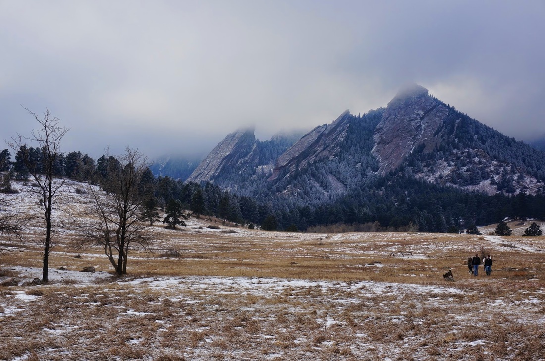
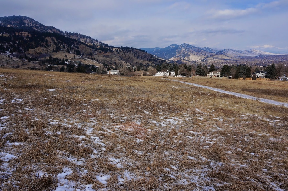
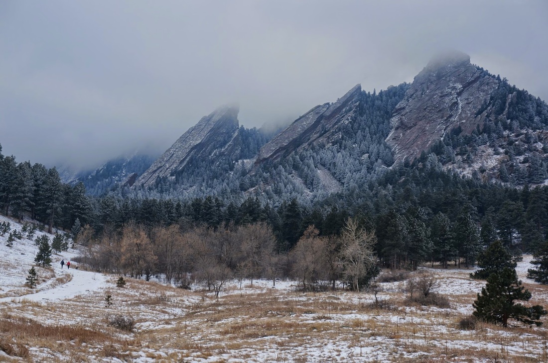
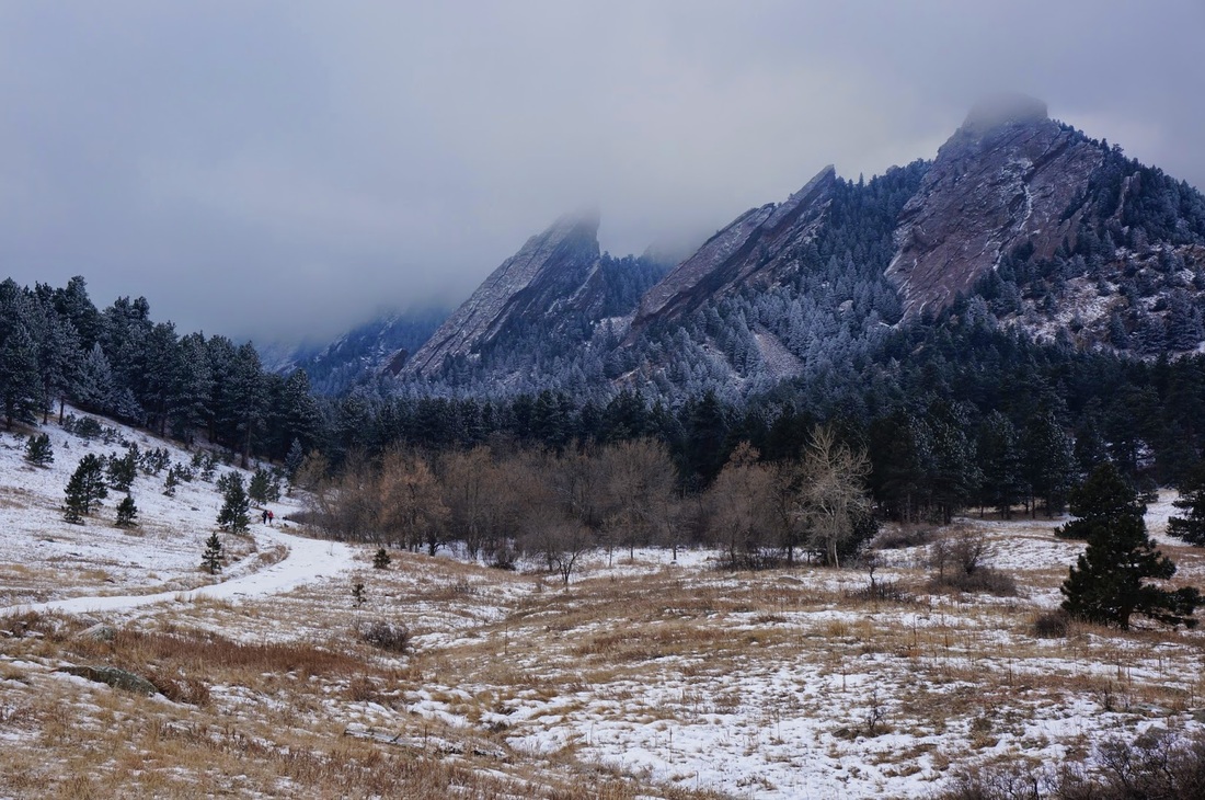
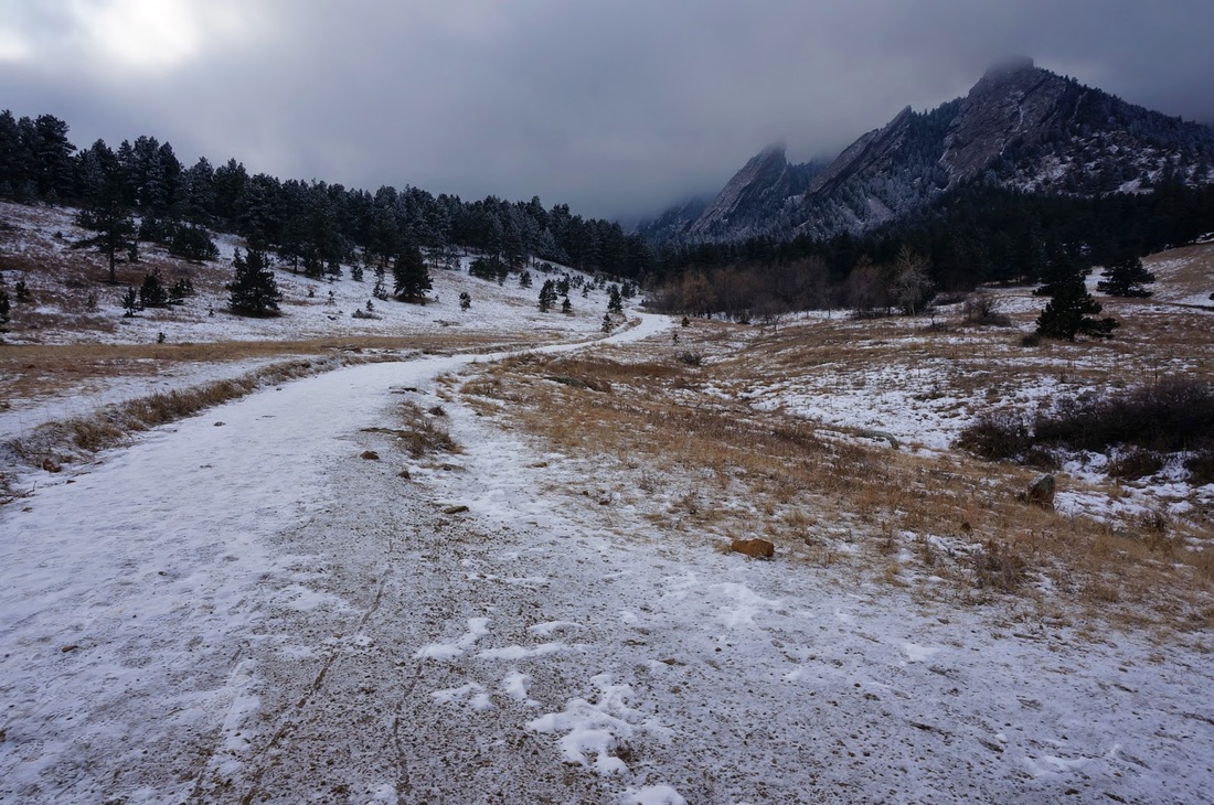
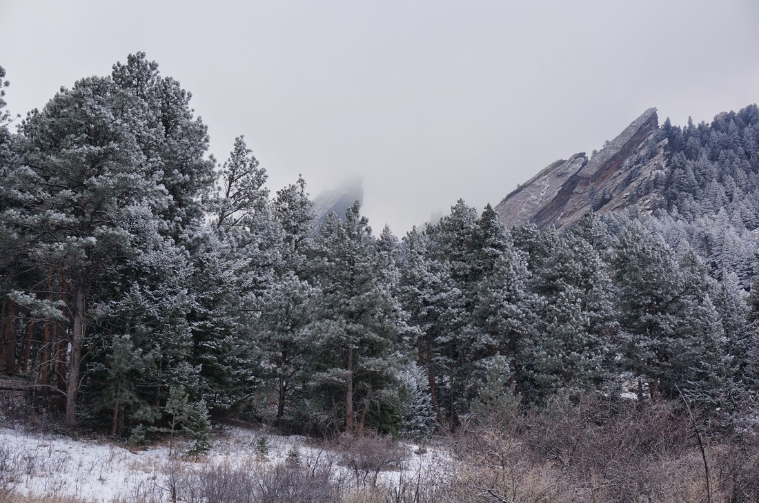
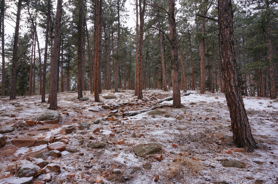
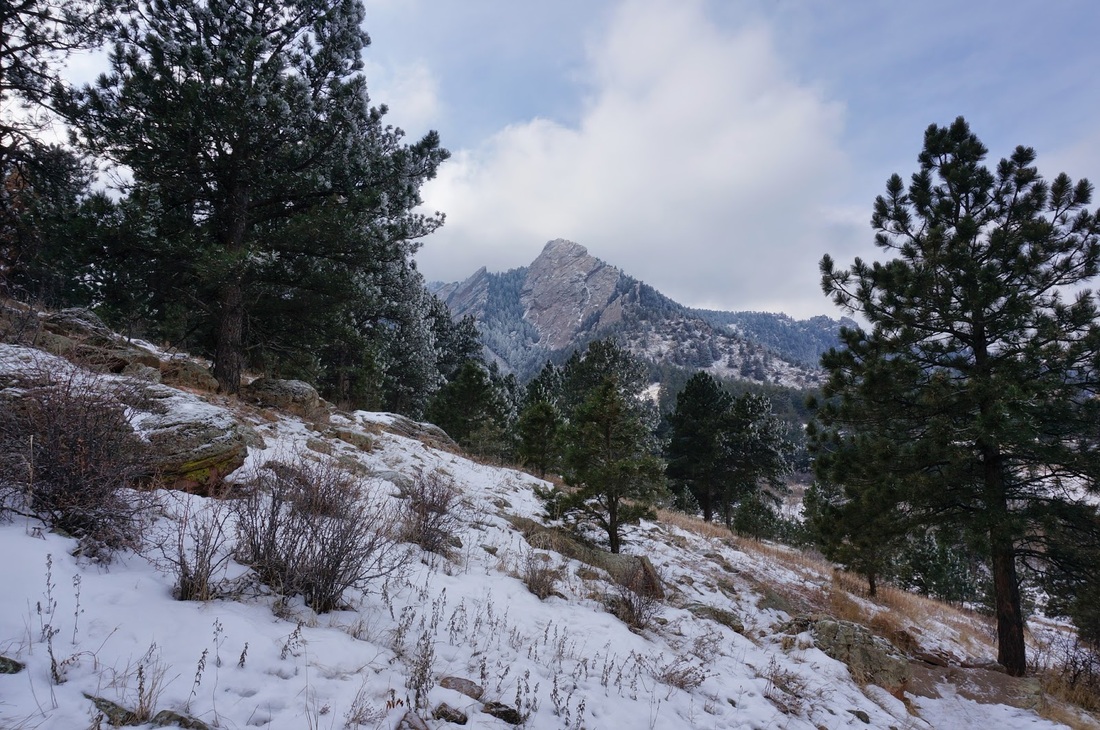
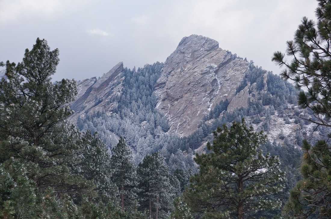
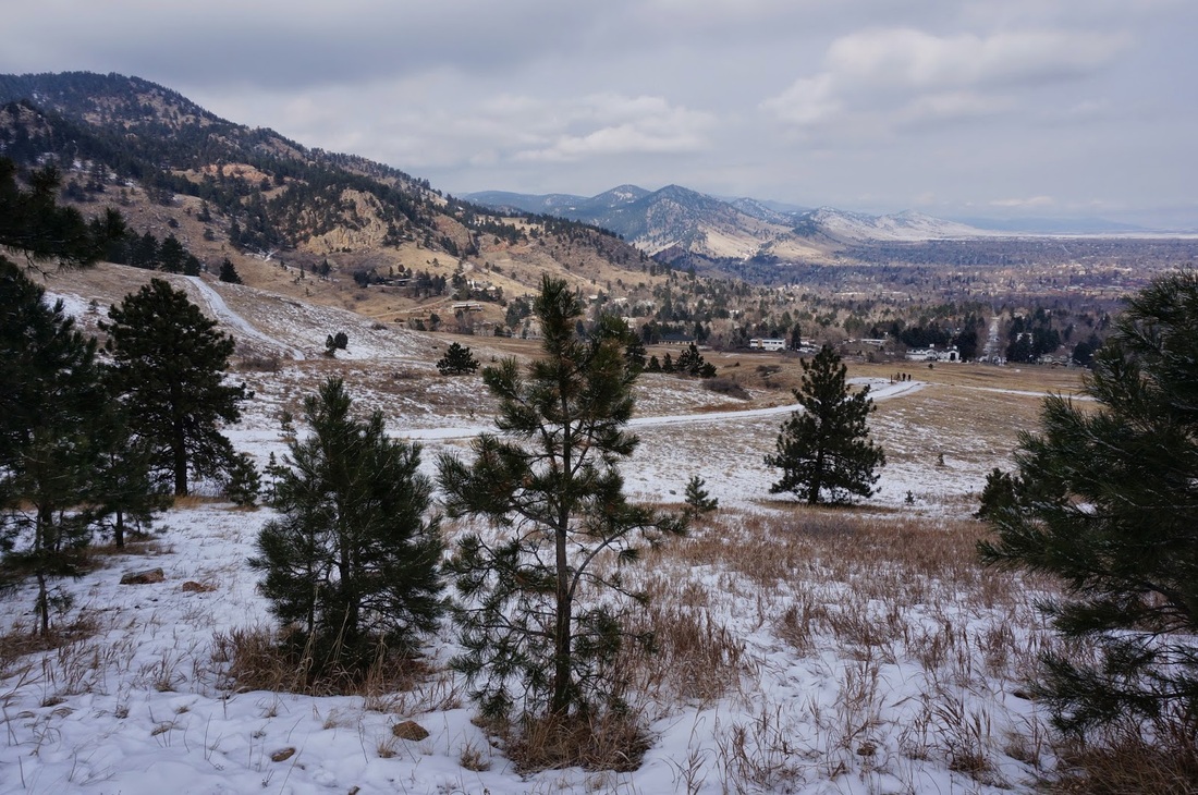
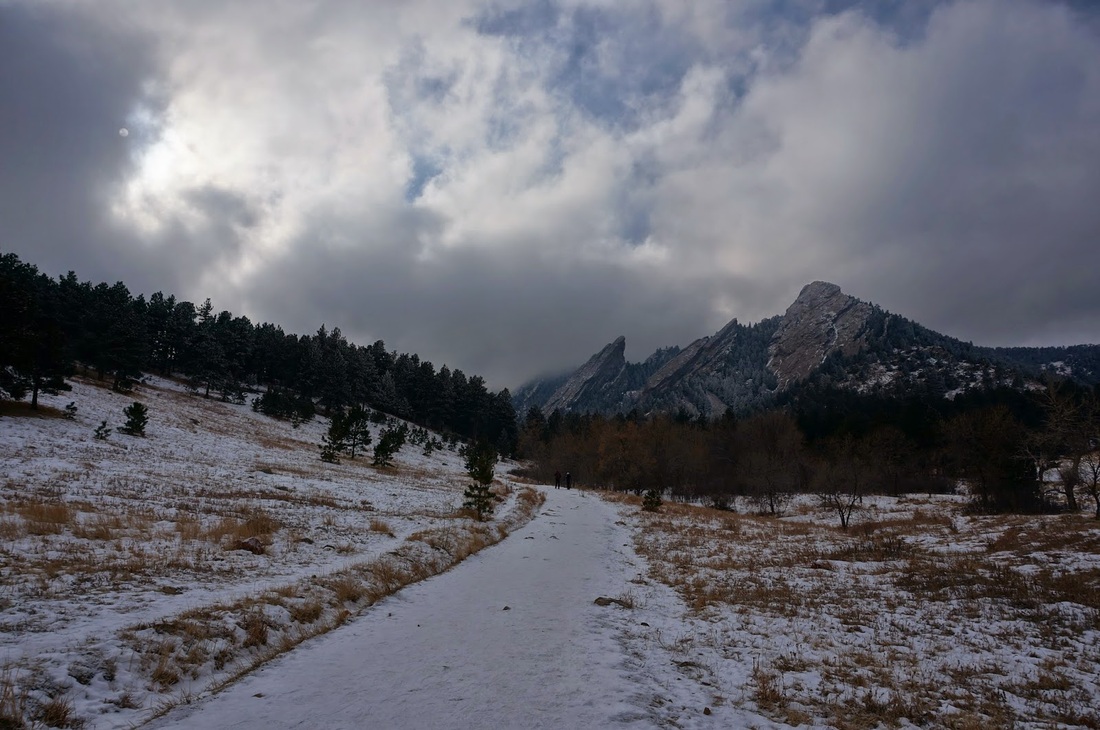
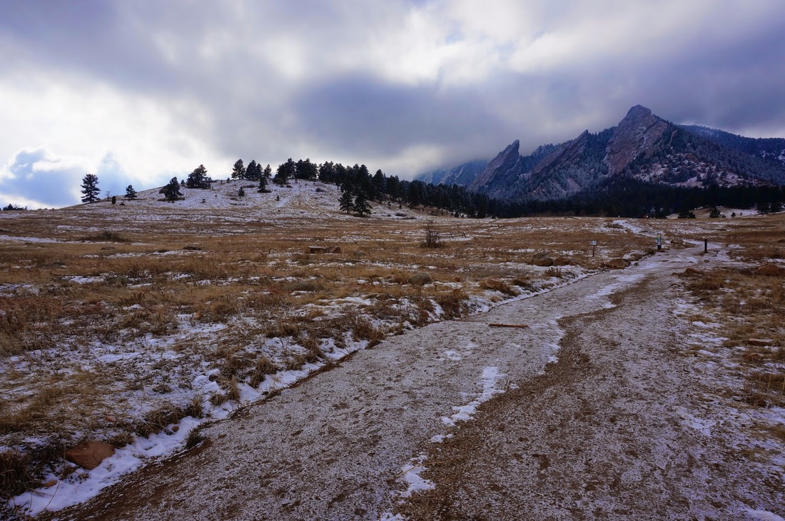
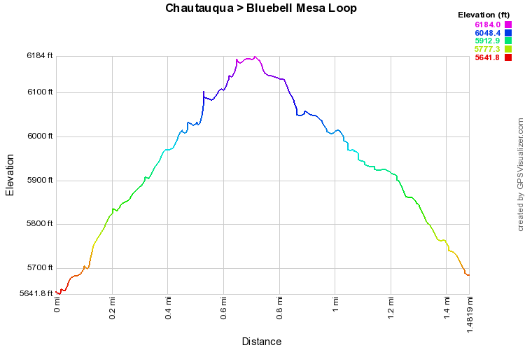
I intended for this hike to be a much longer loop, however, it was literally -7 degrees this chilly January Morning.  After hiking for 30 minutes or so, I couldn't take it anymore and used the Bluebell Mesa Trail as a shortcut back to the trailhead.  However, this loop turned into a wonderful short winter hike.  I would suggest this route to anyone who is hiking with kids, or just looking for a short but steep jaunt onto the Flatirons.

From Chautauqua head south on the Chautauqua Trail and stay striaght at the first trail junction.  Continue to climb up to the top of Bluebell Mesa.  Turn left on the Bluebell Mesa Trail and follow the short but steep trail back to the first trail junction.  From here follow the Chautauqua Trail back to the Trailhead.  Of course, the options are limitless in this area.  You can make a hike as short or as long as you wish. 
© Go Hike Colorado, 2020.  All Rights Reserved. 
Use of photographs without prior authorization is
​strictly prohibited.


Contact us at:
[email protected]
Legal Disclaimer - Information provided on this site is based upon our own observations, always double check information with the appropriate land management agency before heading into the backcountry.  Backcountry travel is inherently dangerous, please take all proper precautions.  Go Hike Colorado is not responsible for injury or incident.