|
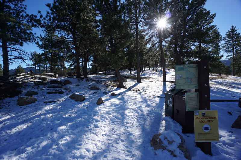
Directions: From Boulder, head west on 119, Boulder Canyon Drive. Turn right (north) onto Sugarloaf Rd and head north. Make a right onto Betasso Road and follow signs into the park. The trailhead for Bummer's Rock is past the main parking lot, just up the road.
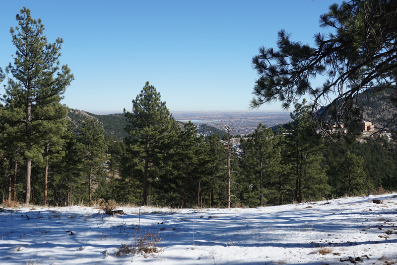
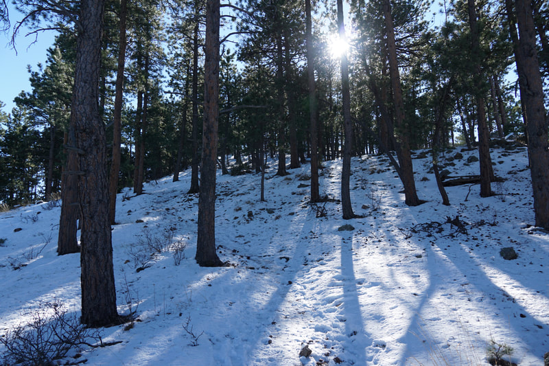
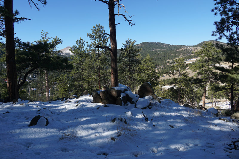
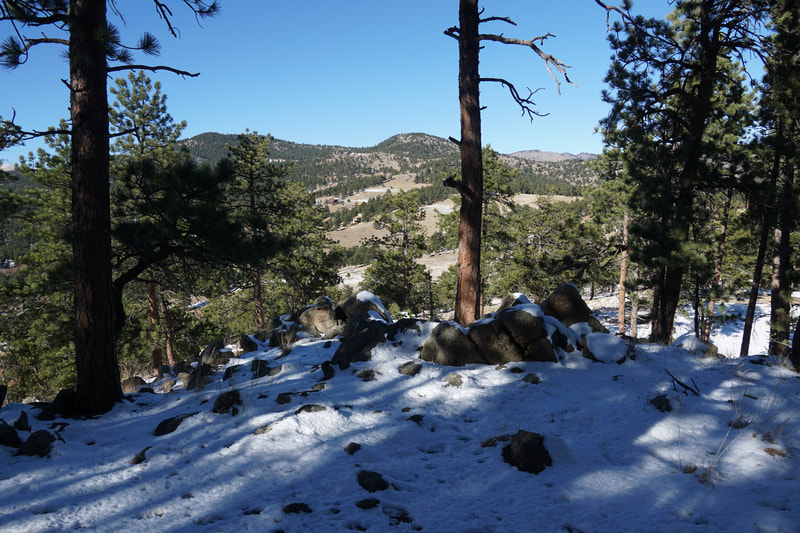
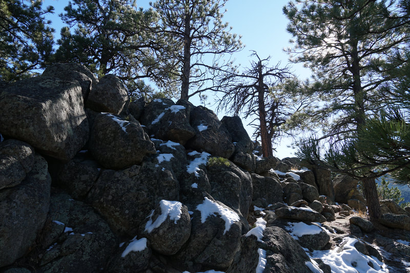
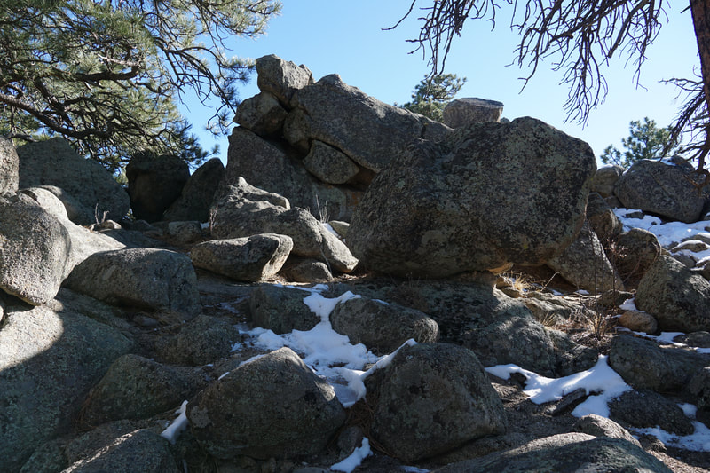
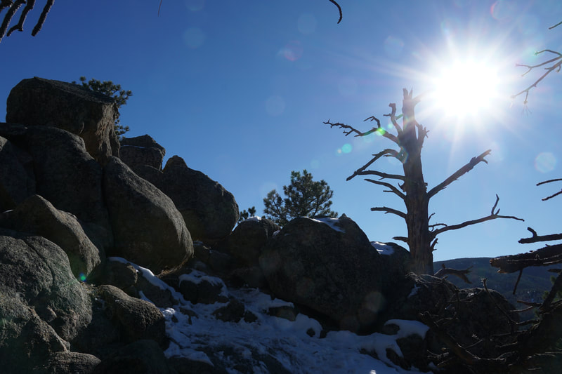
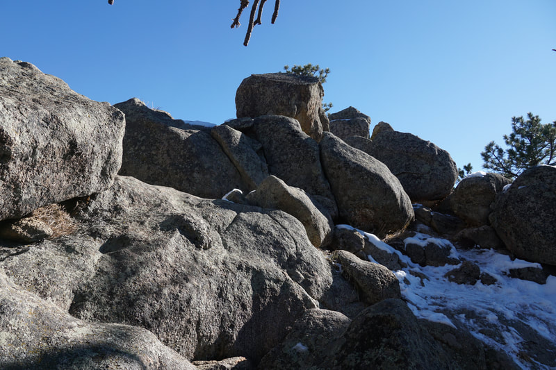
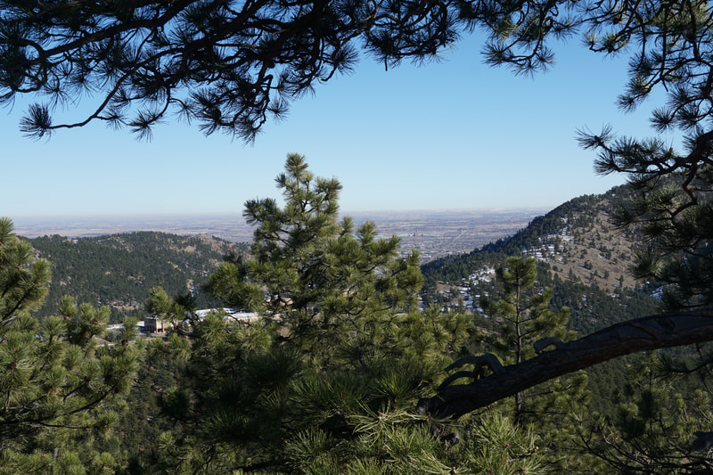
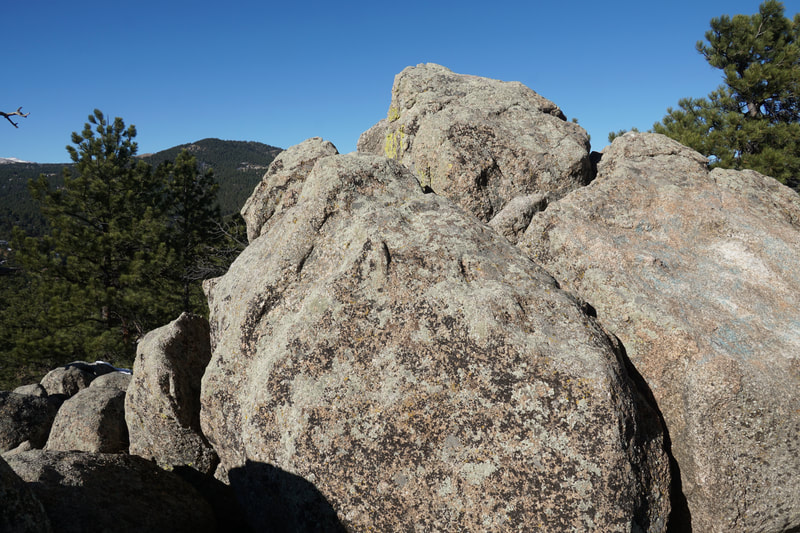
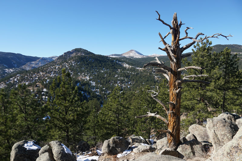
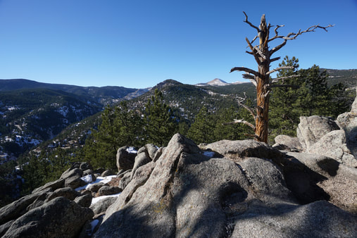
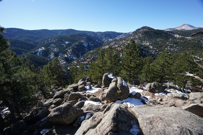
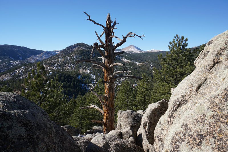
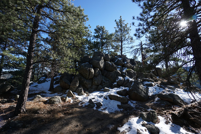
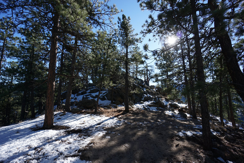
Bummer's Rock is a popular climb to a rock peak with a beautiful view of Boulder canyon and the surrounding area. The hike is like a miniature version of a mountain peak climb. The trail is short but steep with a small rock scramble at the top. Its great for kids to practice rock scrambling and peak bagging. Betasso Preserve is just west of Boulder so it's a very popular park, it is however, a beautiful place and certain worth taking the time to explore.
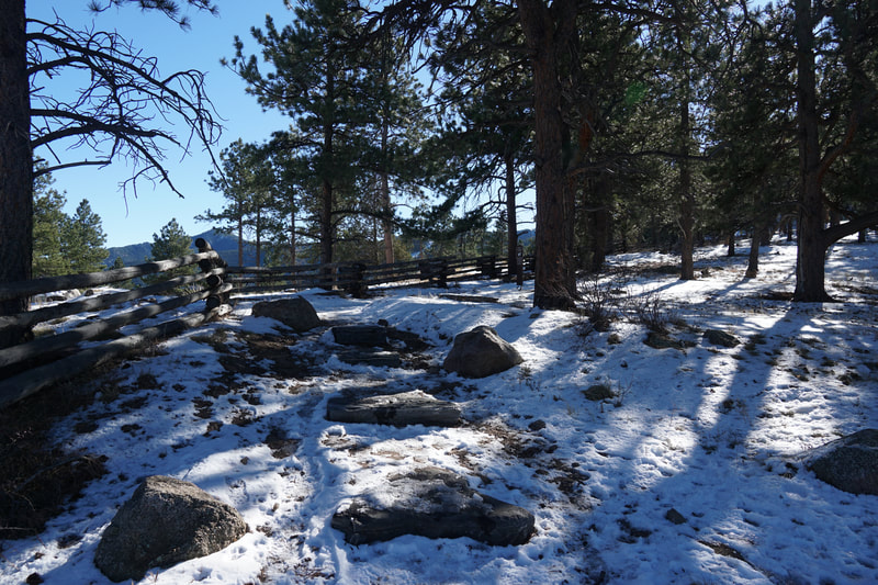
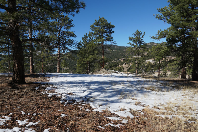
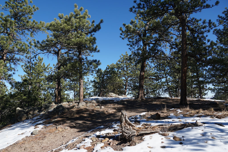
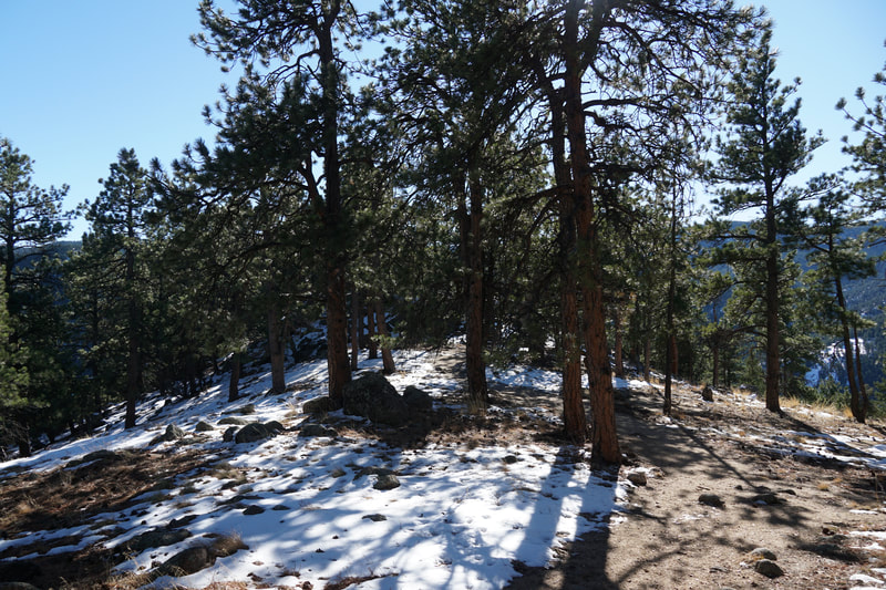
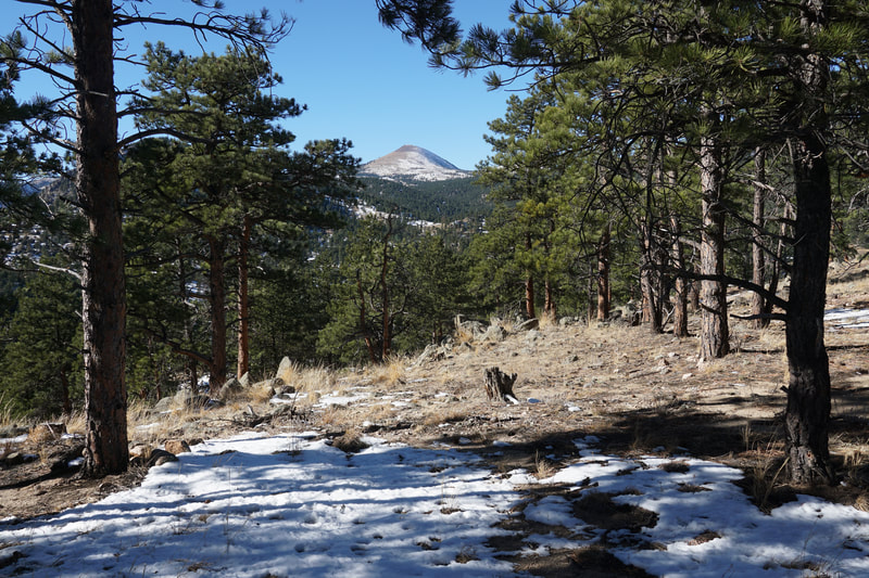
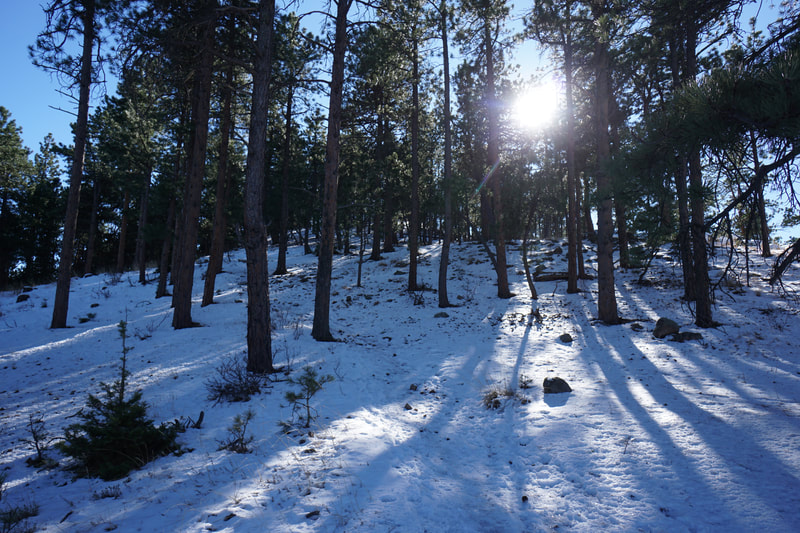
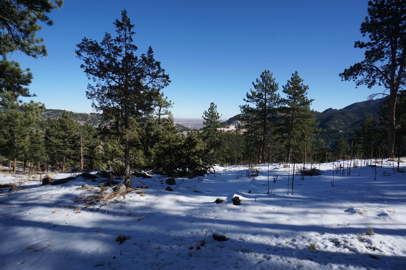
From the parking area and trailhead, the trail is relatively straight-forward...just follow the trail up. Along the way you'll be treated to views of Betasso Preserve and Sugarloaf Mountain to the west. Once you reach the base of the rocky peak most of the work is done and the fun begins. Scramble up the rock finding the easiest way for you and you'll soon be on the rock summit. There are some flat rocks perfect for relaxing. At the top of the peak, the views are wonderful. The views east and west of Boulder Canyon are wonderful, the views to the north include more of Sugarloaf Mountain but also just a hint of the Indian Peaks in the distance. After you've soaked it in, just head back down the way you came, easy enough... |
- HOME
- ABOUT
-
HIKES BY REGION
-
NATIONAL PARK HIKES
- BENT'S OLD FORT NATIONAL HISTORIC SITE
- BLACK CANYON OF THE GUNNISON NATIONAL PARK
- COLORADO NATIONAL MONUMENT
- CURECANTI NATIONAL RECREATION AREA
- DINOSAUR NATIONAL MONUMENT
- FLORISSANT FOSSIL BEDS NATIONAL MONUMENT
- MESA VERDE NATIONAL PARK
- ROCKY MOUNTAIN NATIONAL PARK
- GREAT SAND DUNES NATIONAL PARK
- HOVENWEEP NATIONAL MONUMENT
- SAND CREEK MASSACRE NATIONAL HISTORIC SITE
- YUCCA HOUSE NATIONAL MONUMENT
- HIKES BY CATEGORY
- NEWS
- WEBCAMS
- $UPPORT GHC
- INTERACTIVE MAP
Bummer's Rock
Betasso Preserve
Date Hiked: November 28, 2020
Distance: 1/2 mi (RT)
Elevation Gain: 200 ft
Elevation Min/Max: 6,486 to 6,591 ft
Trailhead Lat/Long: 40.01355/105.34325
Managing Agency: Boulder County Open Space
Fee: None

