|
Directions: From Boulder take 119 West, make a right (north) on Sugarloaf Road (122). Take this road for a long while until you see Sugarloaf Mountain on the right, make a right on Sugarloaf Mountain Road and take this to the parking area, a wooded spot with a number of dirt roads branching off. The trail starts on the east side of the parking area.
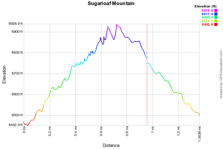
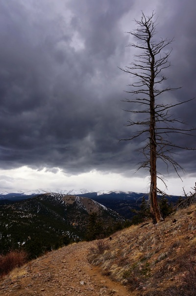
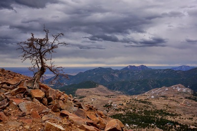
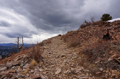
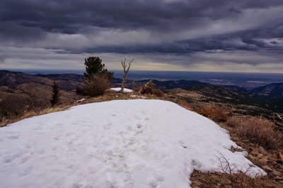
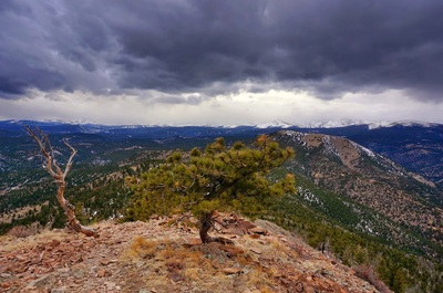
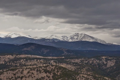
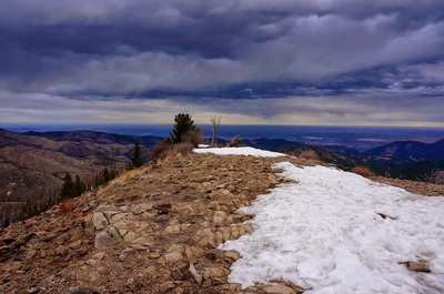
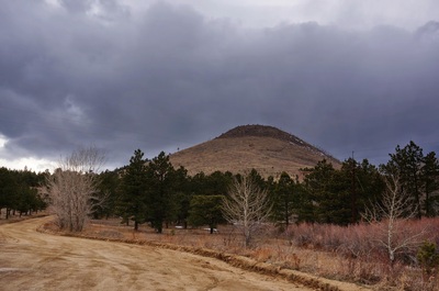
This is a short trail with a tremendous view. The hike is simple. The rock trail starts heading up and rises for 500 ft in less than a mile. The trail will skirt the southern face of Sugarloaf providing great views back towards Boulder. When you reach the large summit, you are rewarded with views of the Indian Peaks, Rocky Mountain National Park, and the Continental Divide. This hike provides easy access to one of the best 360 degree views in the front range foothills. |
- HOME
- ABOUT
-
HIKES BY REGION
-
NATIONAL PARK HIKES
- BENT'S OLD FORT NATIONAL HISTORIC SITE
- BLACK CANYON OF THE GUNNISON NATIONAL PARK
- COLORADO NATIONAL MONUMENT
- CURECANTI NATIONAL RECREATION AREA
- DINOSAUR NATIONAL MONUMENT
- FLORISSANT FOSSIL BEDS NATIONAL MONUMENT
- MESA VERDE NATIONAL PARK
- ROCKY MOUNTAIN NATIONAL PARK
- GREAT SAND DUNES NATIONAL PARK
- HOVENWEEP NATIONAL MONUMENT
- SAND CREEK MASSACRE NATIONAL HISTORIC SITE
- YUCCA HOUSE NATIONAL MONUMENT
- HIKES BY CATEGORY
- NEWS
- WEBCAMS
- $UPPORT GHC
- INTERACTIVE MAP
Sugarloaf Mountain
Date Hiked: April 6, 2013
Distance: 1.4 mi (RT)
Elevation Gain: 500ft
Elevation Min/Max: 8,453 to 8,939ft
Managing Agency: Boulder County Open Space
Fee: None

