|
|
|
DIRECTIONS: In Boulder, find your way to Chautauqua Park at the intersection of Baseline Road and 9th Street. Chautauqua Park has a parking area but it tends to fill up. Street parking is also available and is free at certain times during the winter. The Chautauqua Park and Baseline Trailheads are easy to find once you arrive at the park.
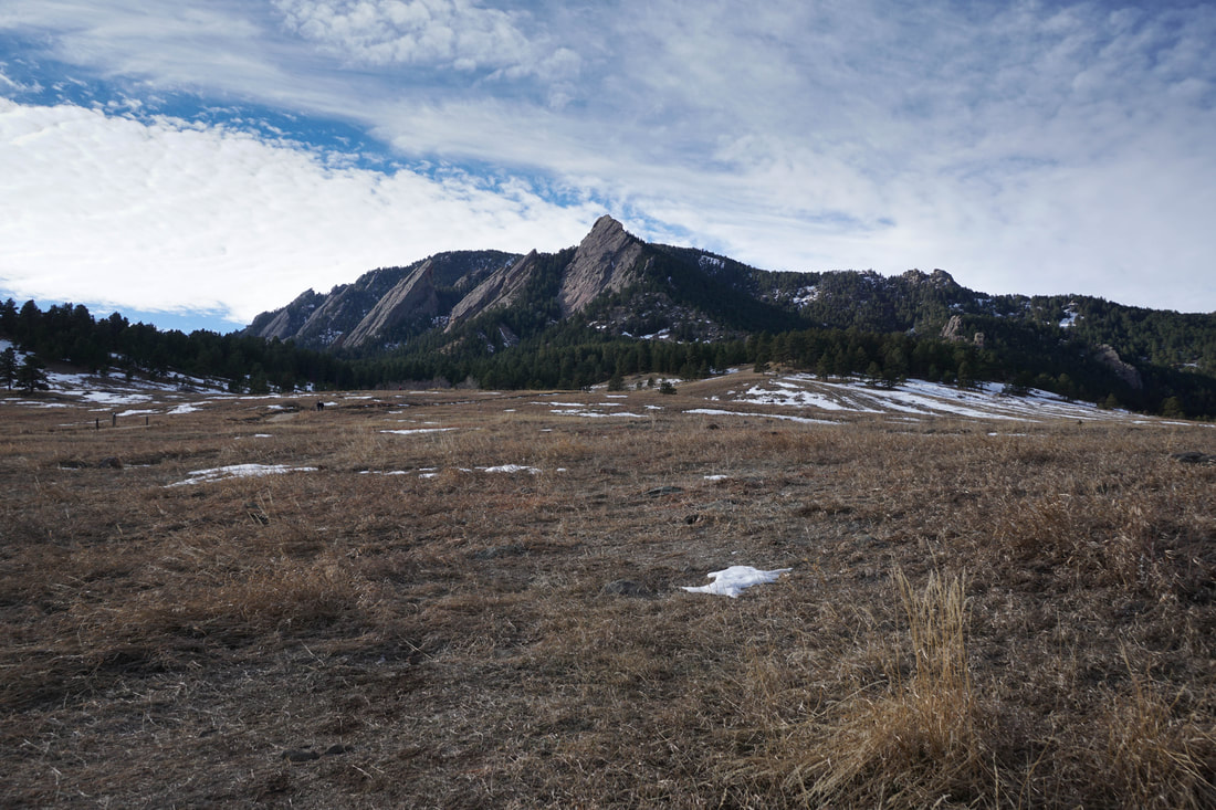
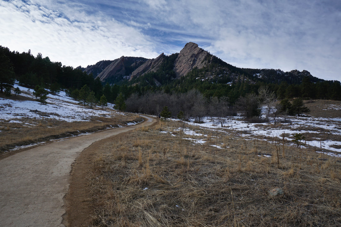
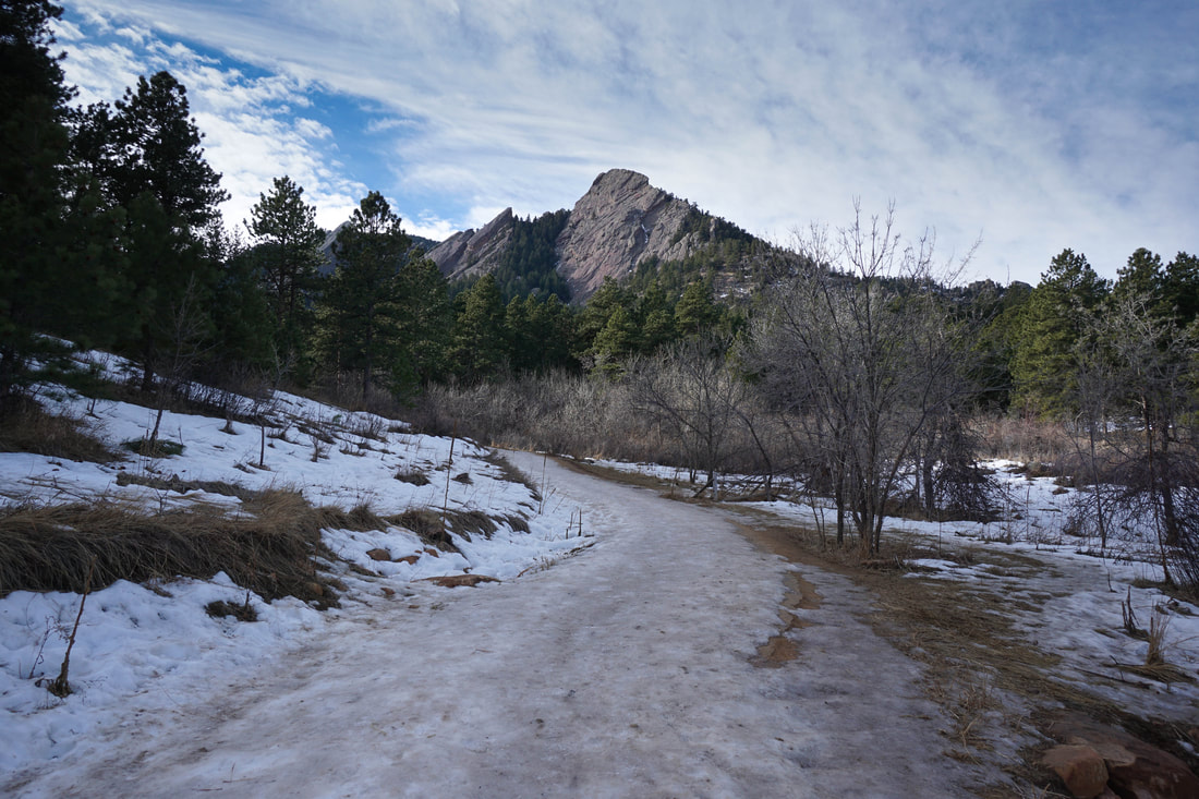
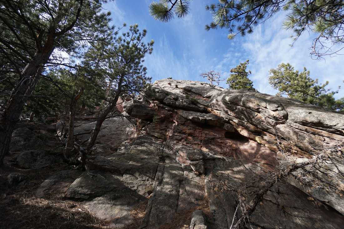
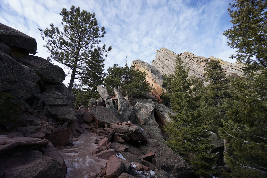
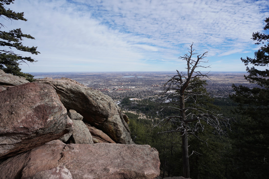
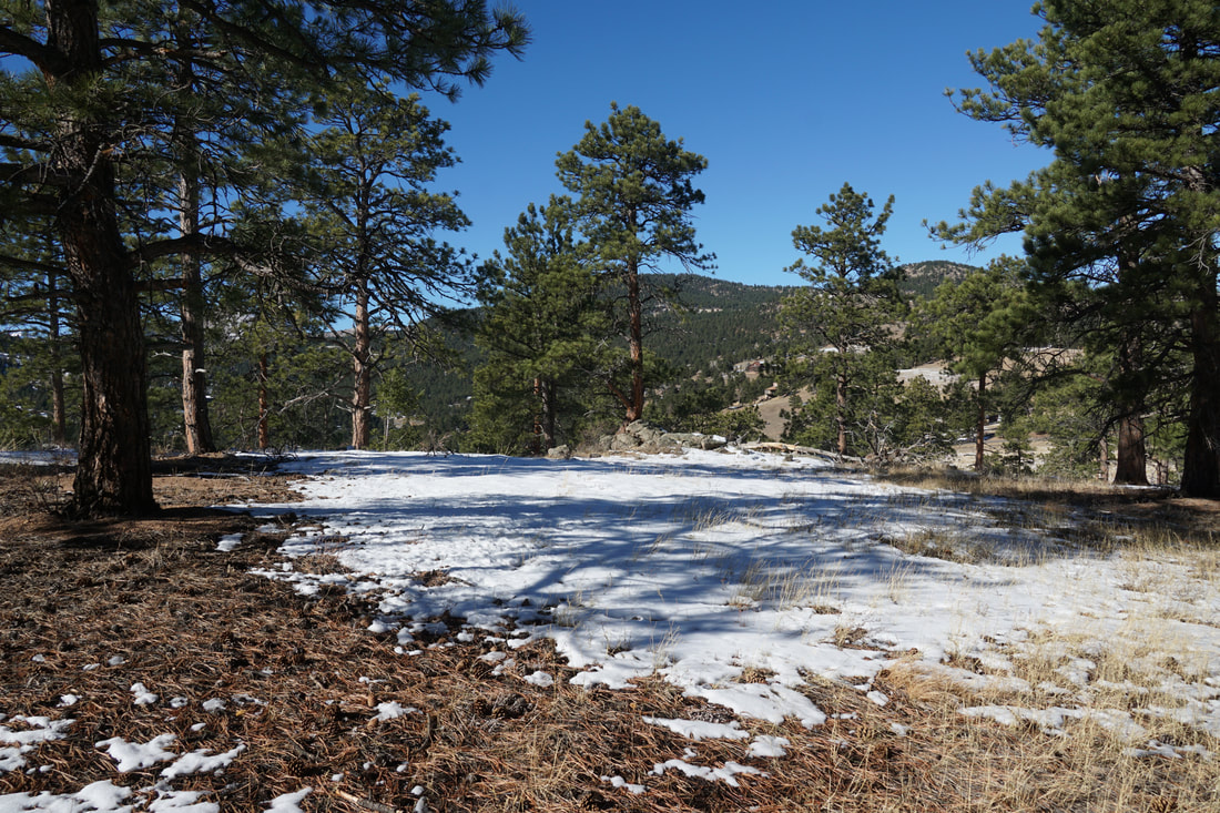
The hike up to the top of the Flatirons is a classic Boulder hike. The trail is very popular and for good reason. This is a short but stout hike will tremendous views and a good feeling of accomplishment. The hikes in the Boulder Mountain Park can get extremely crowded but in the winter, when the trails are covered in ice, the crowds die down and the park becomes a wonderful place to spend some time.
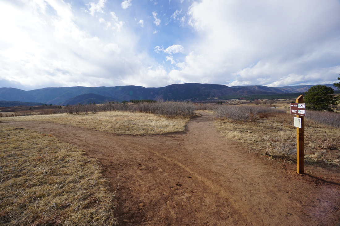
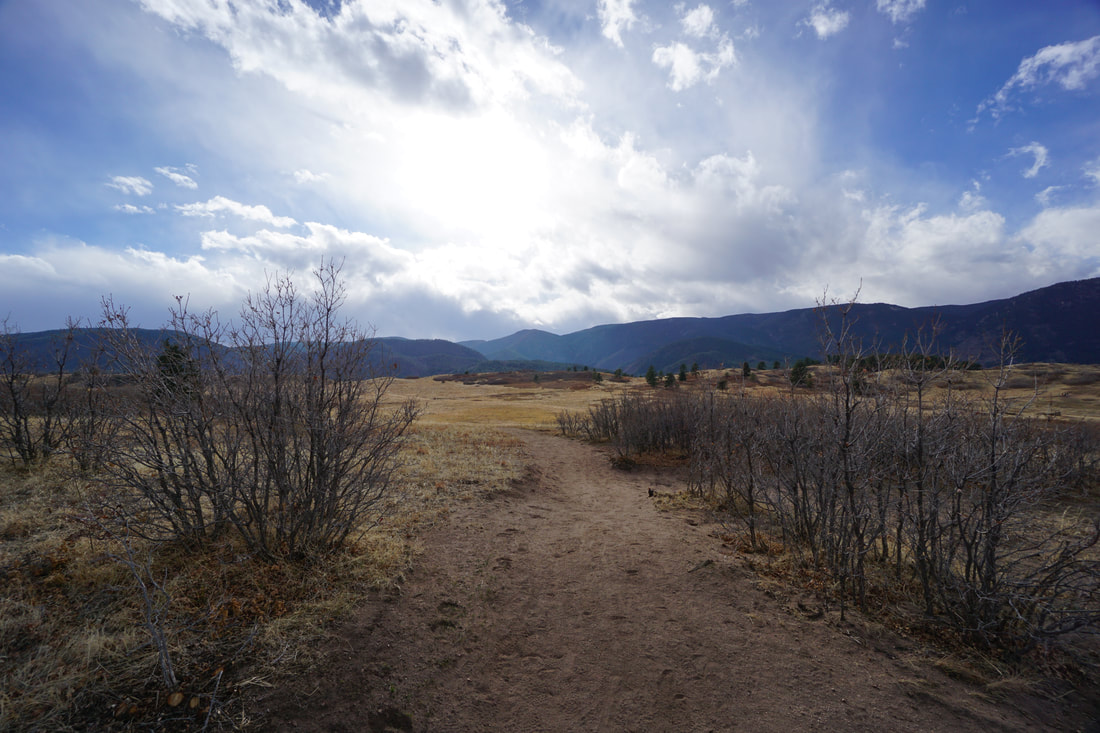
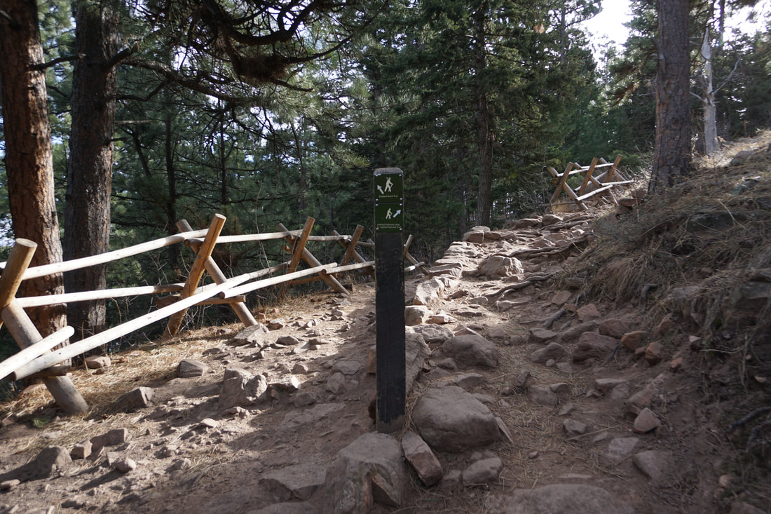
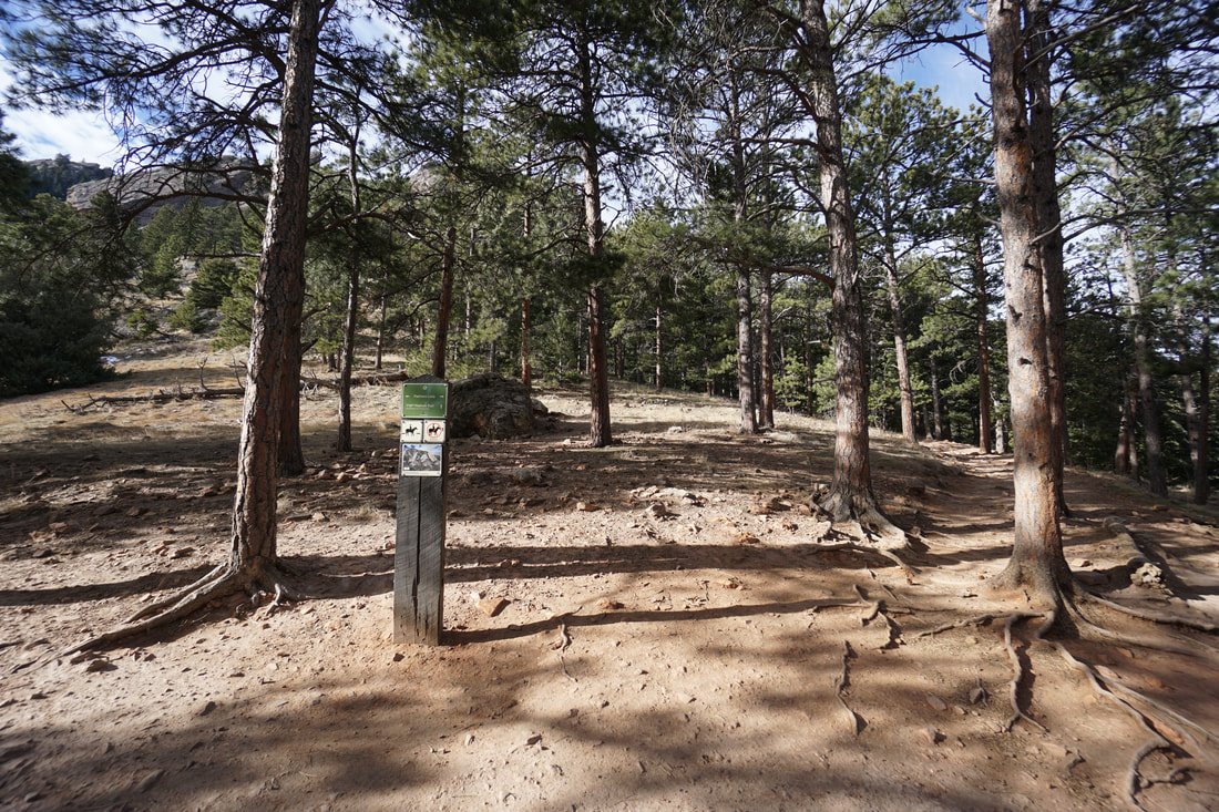
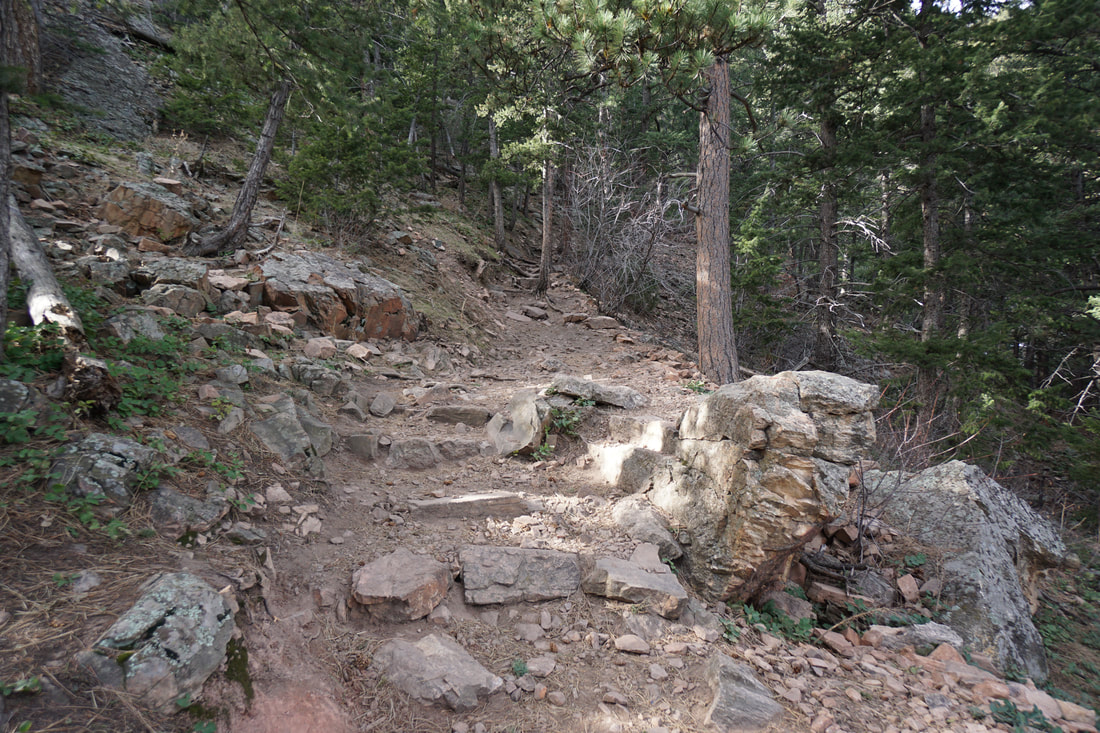
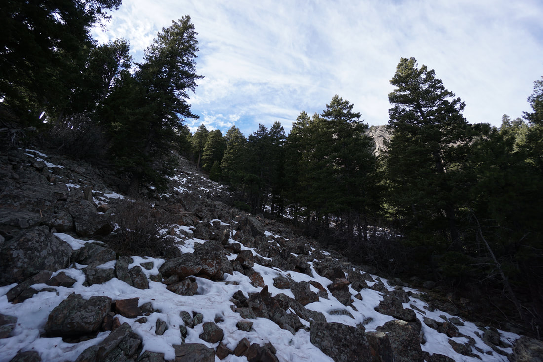
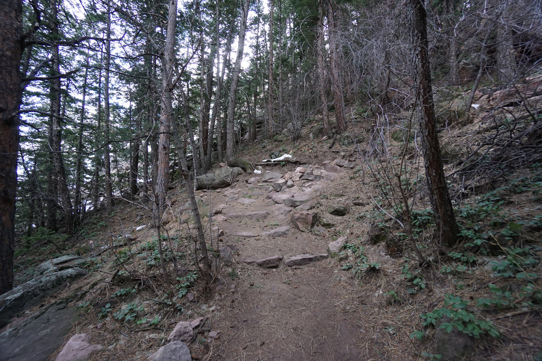
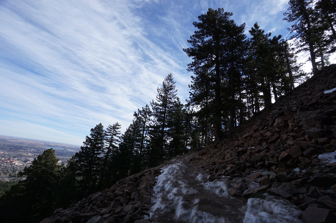
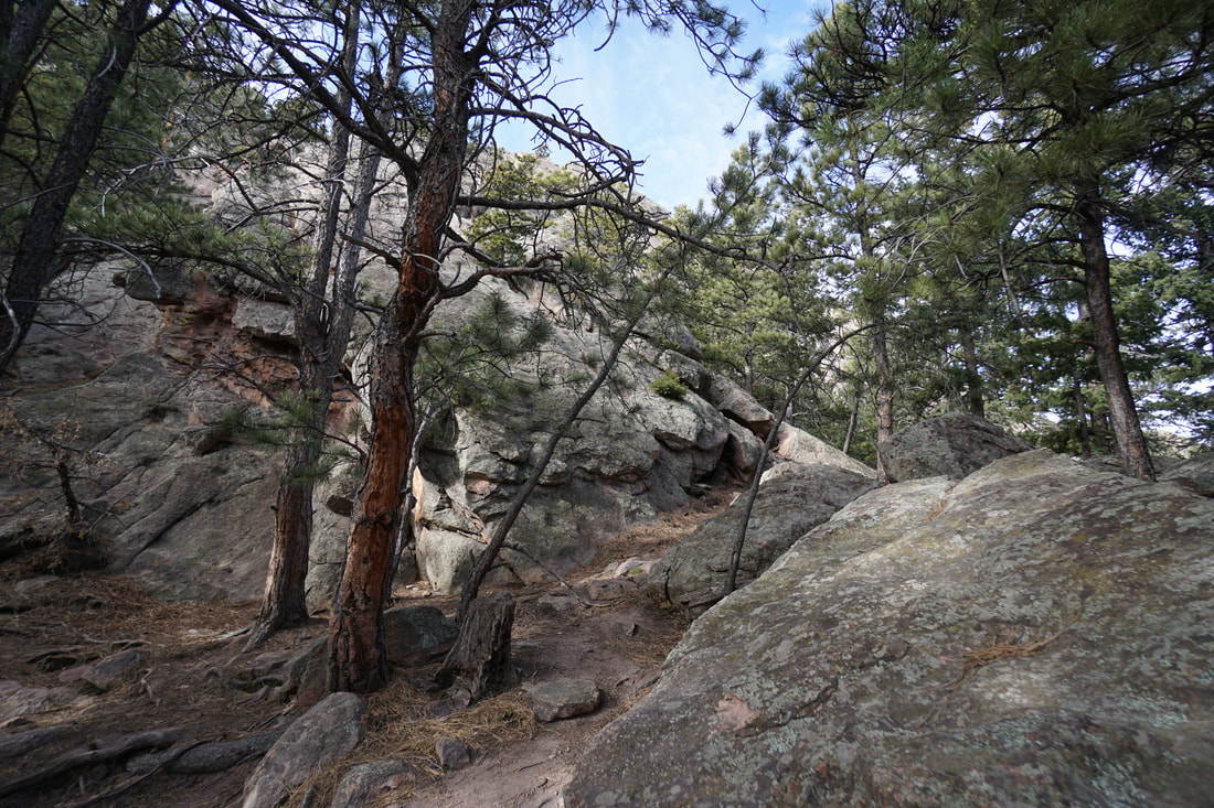
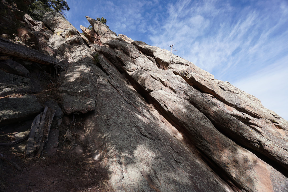
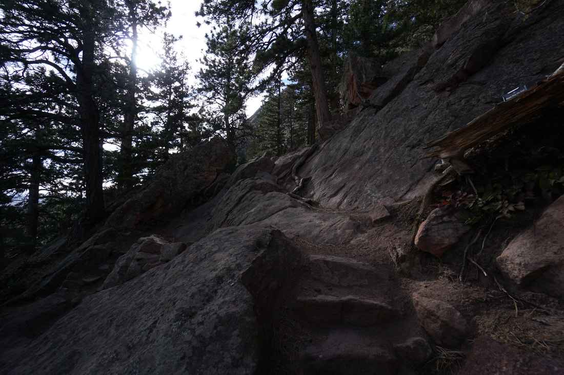
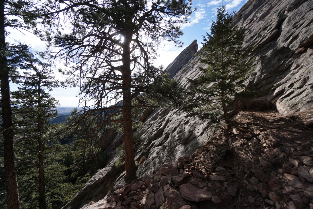
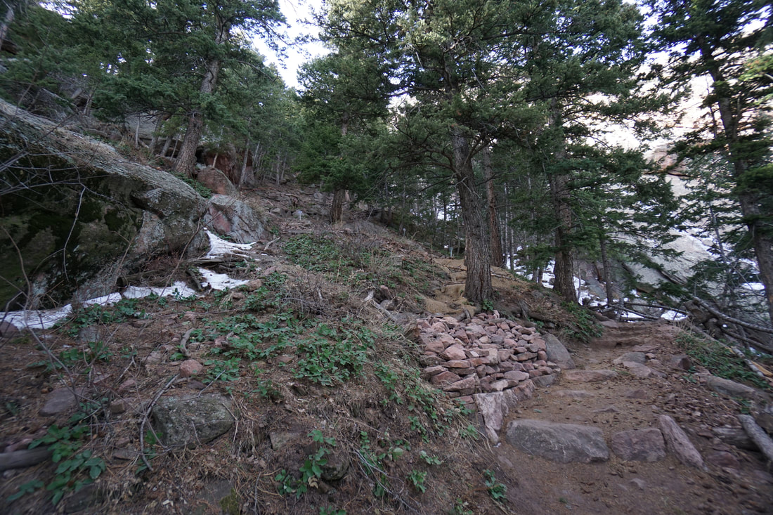
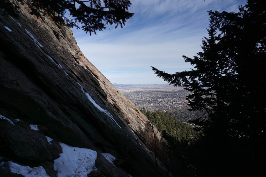
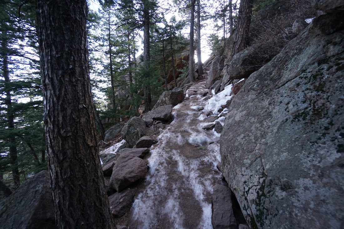
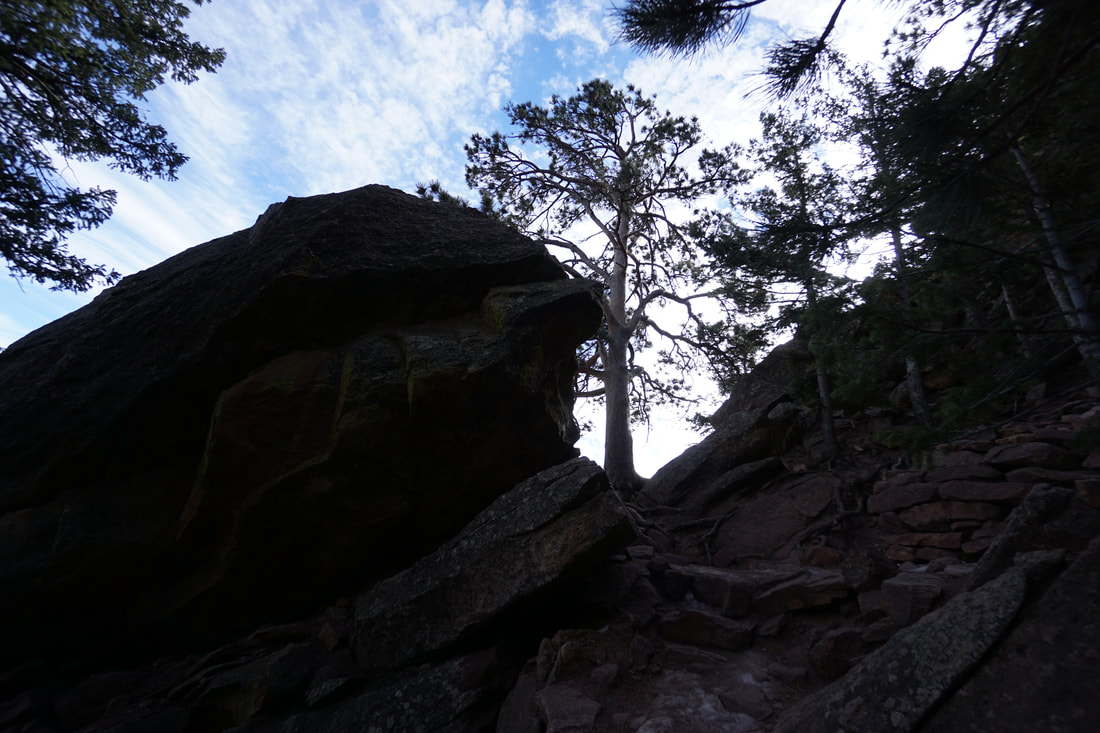
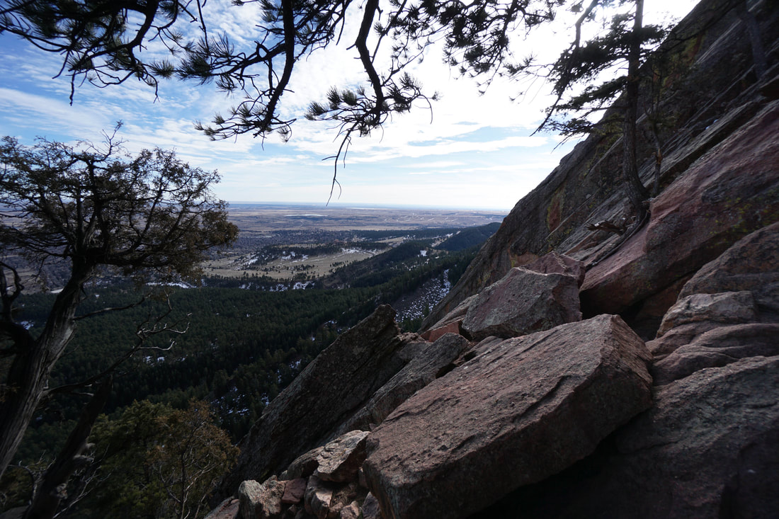
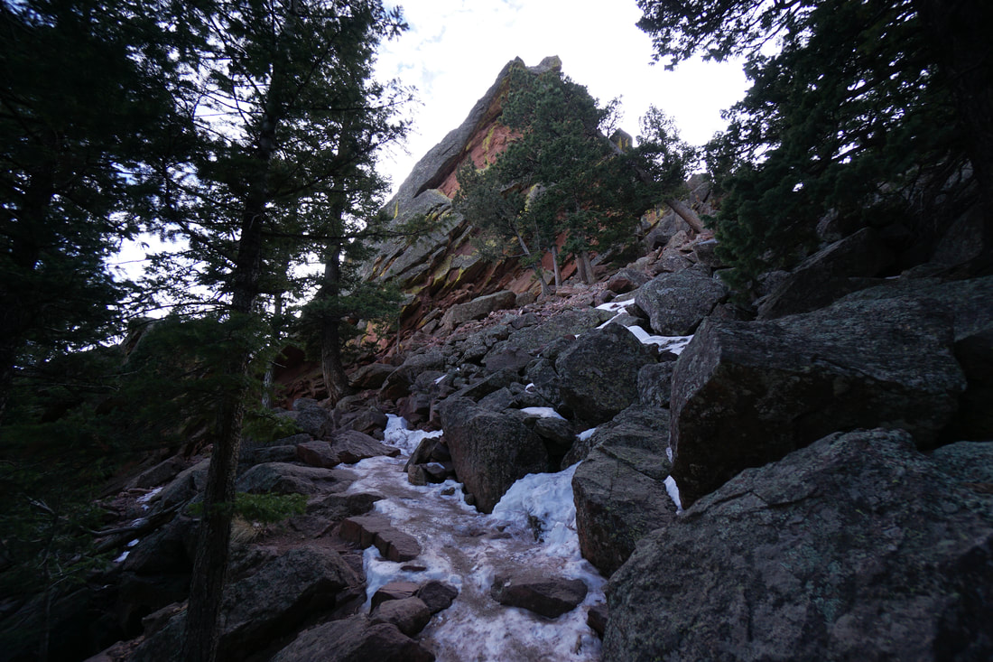
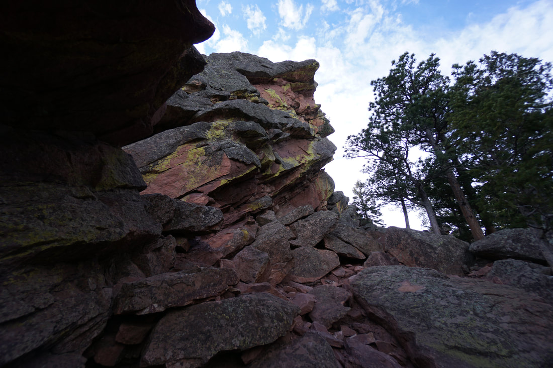
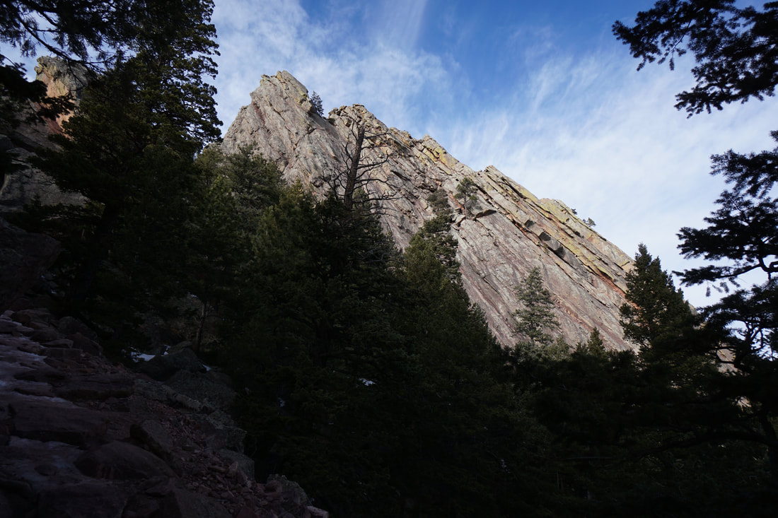
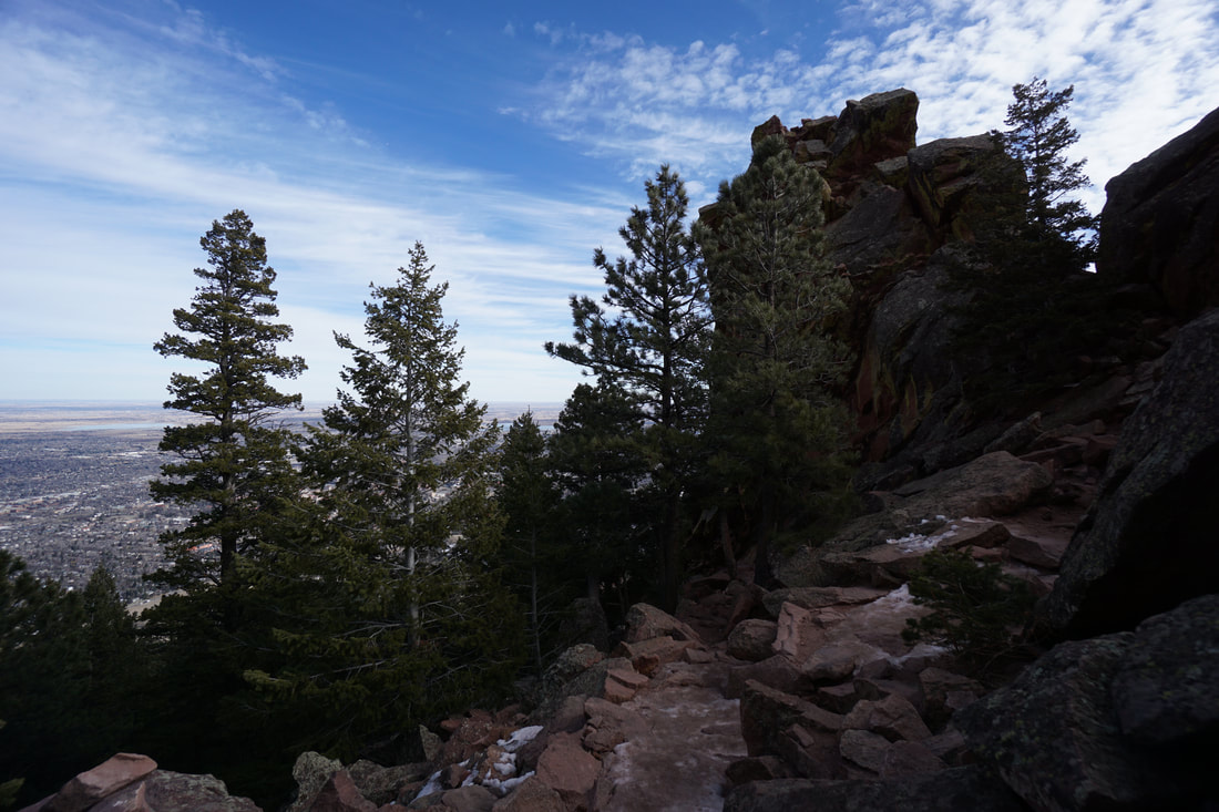
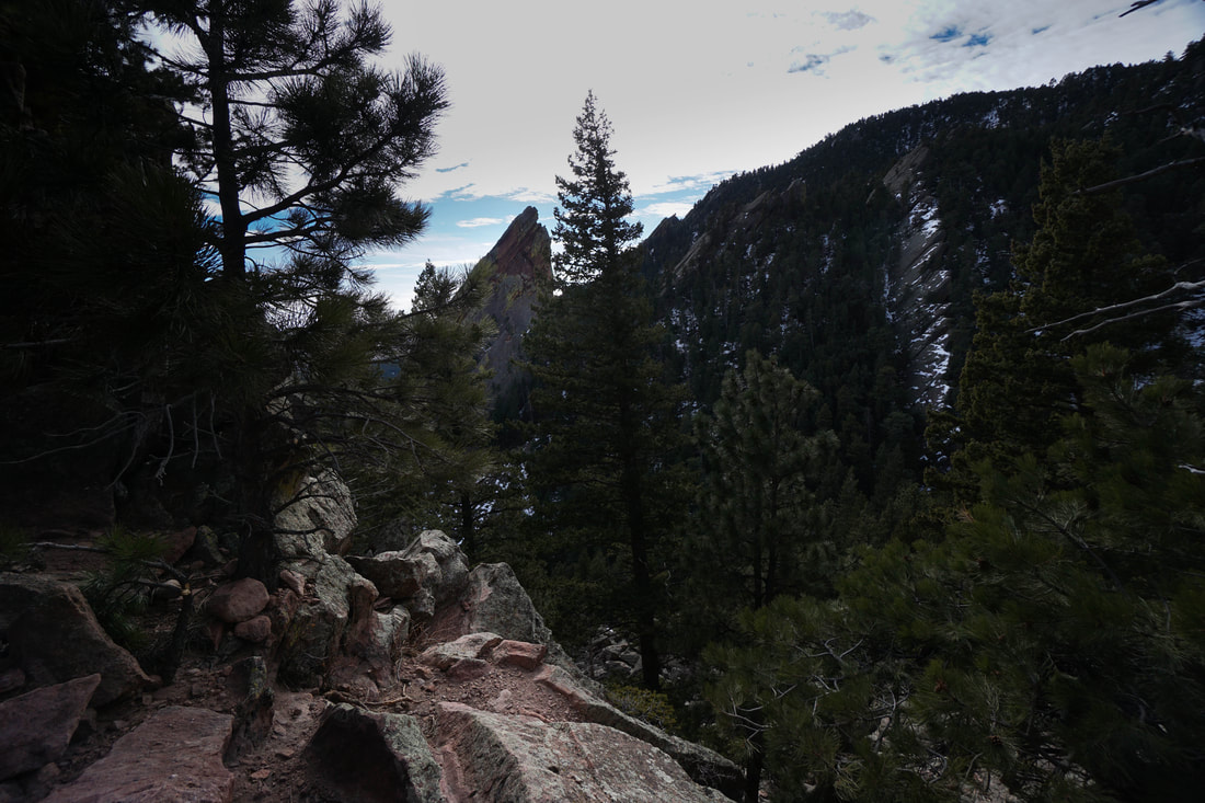
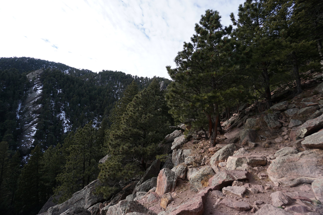
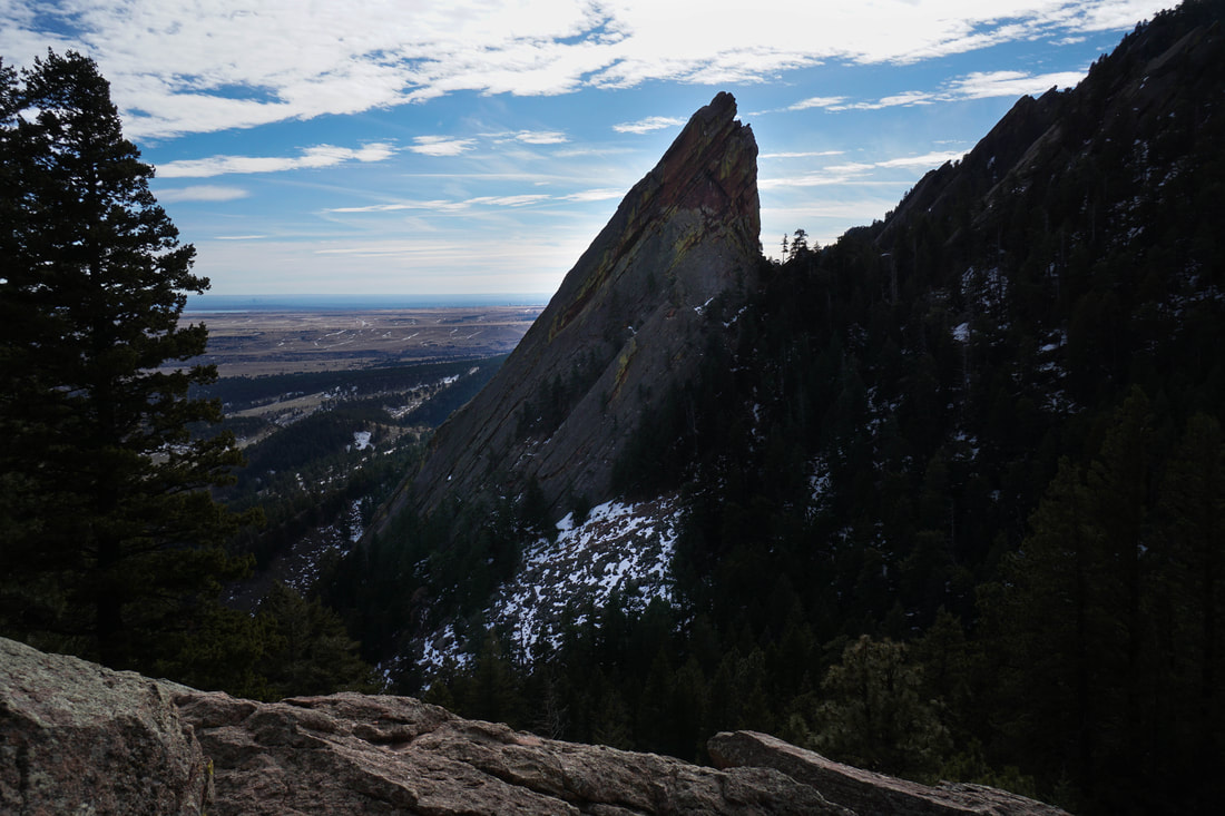
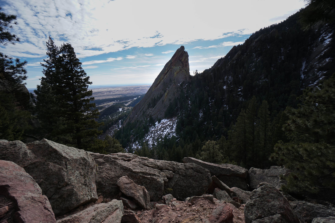
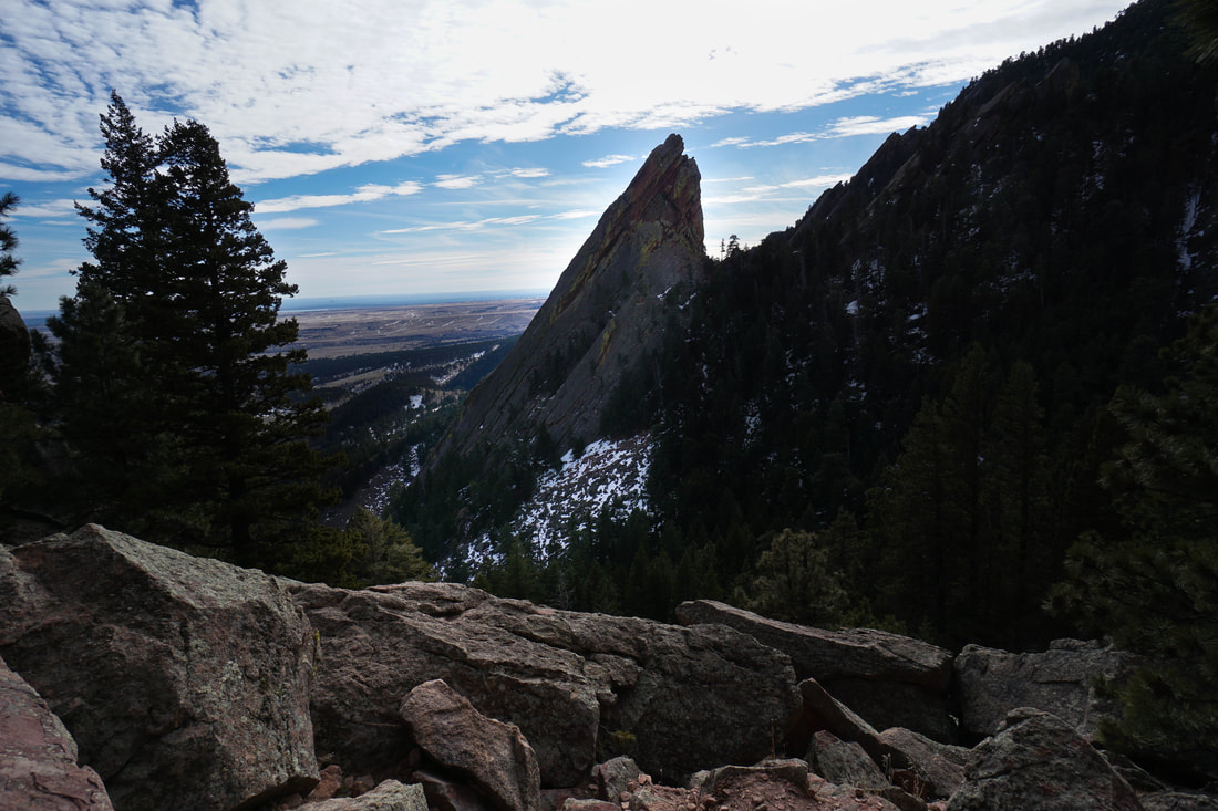
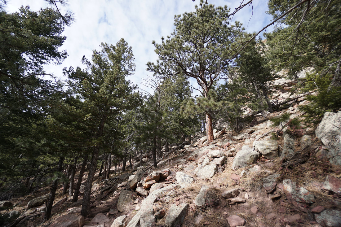
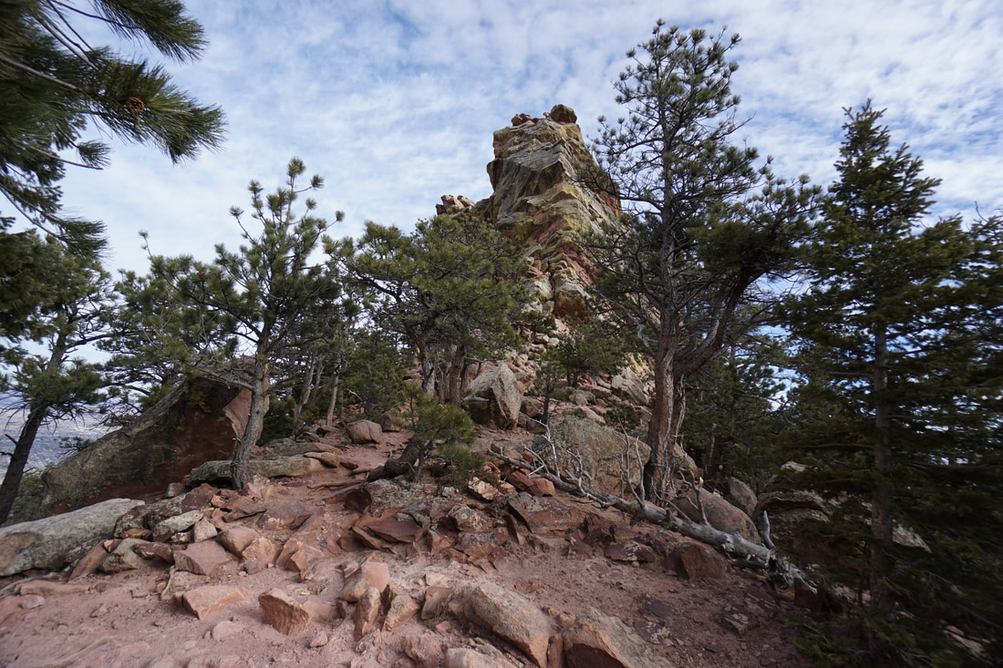
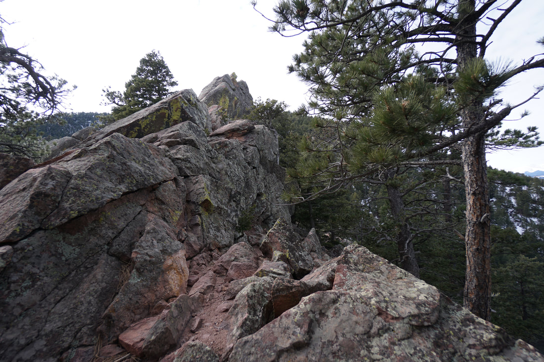
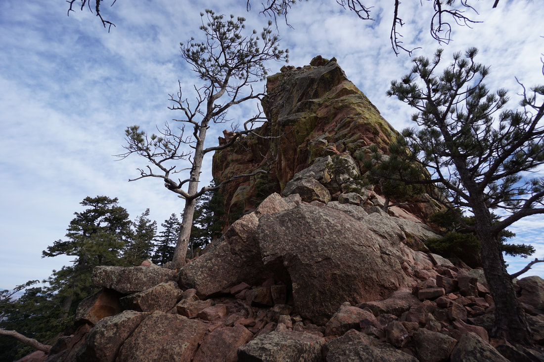
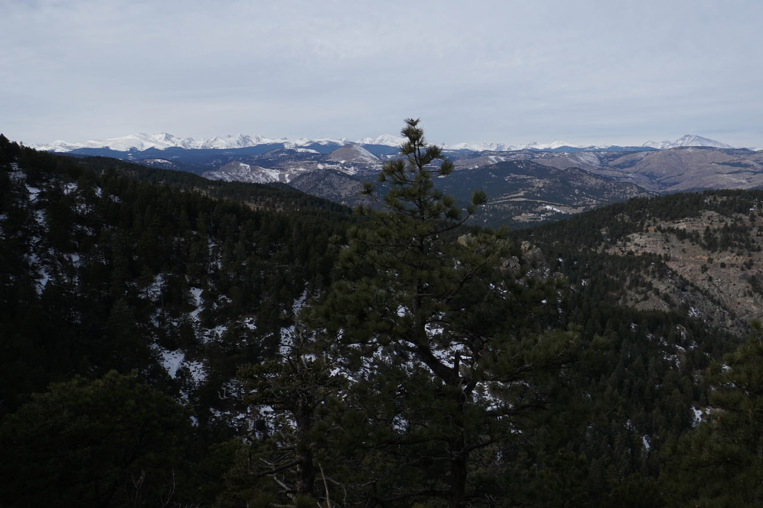
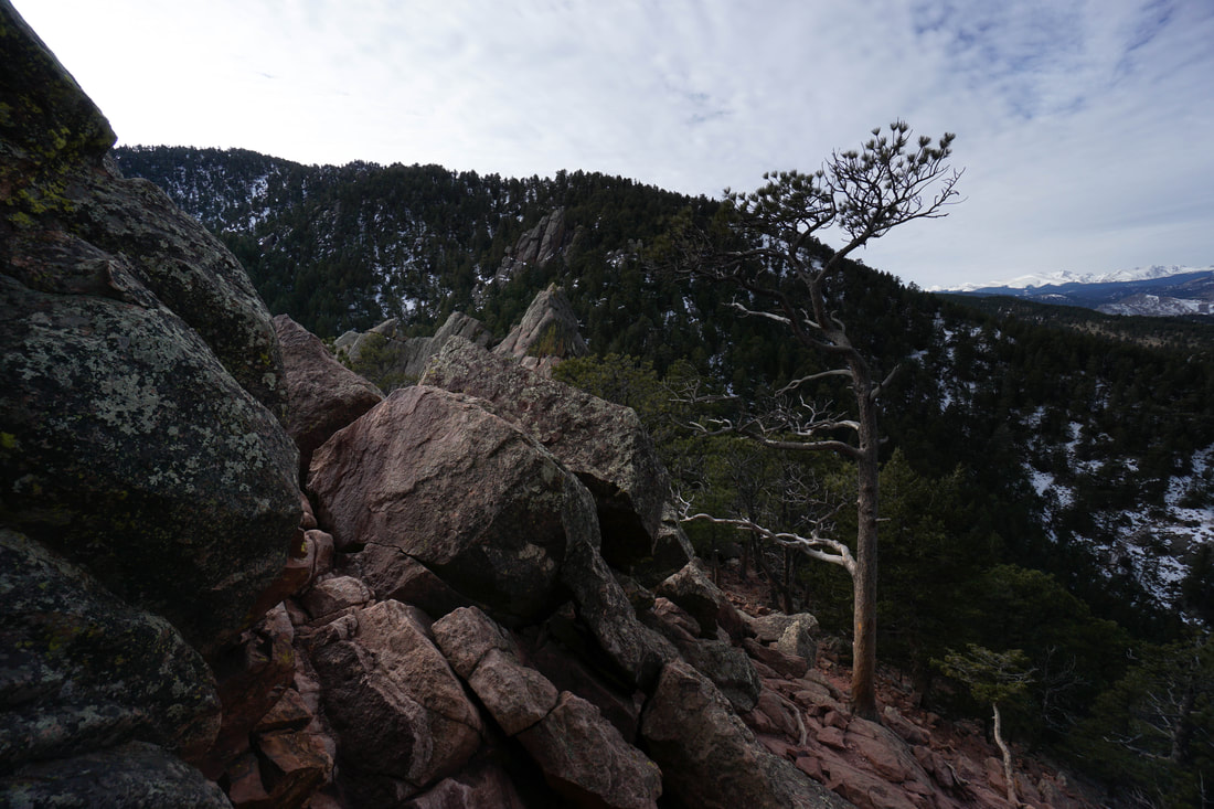
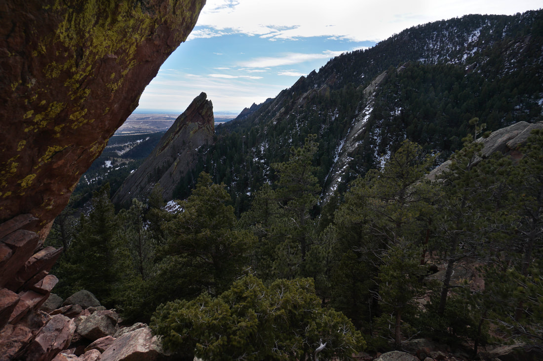
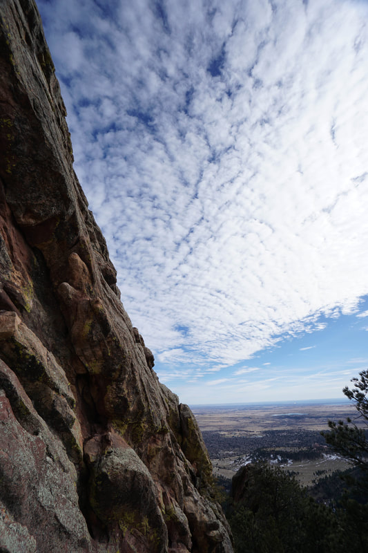
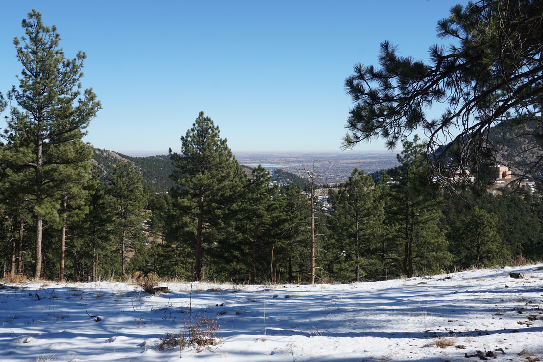
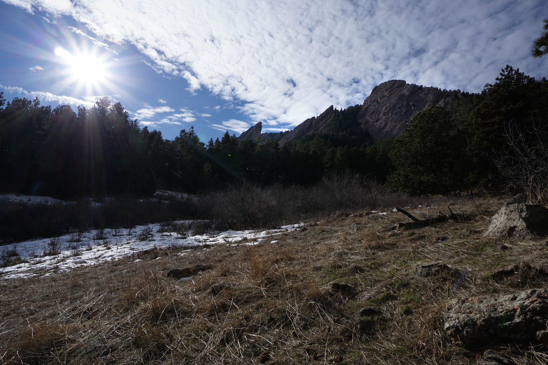
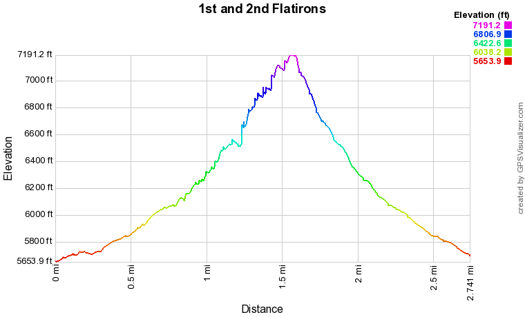
In order to pick up the 1st and 2nd Flatirons trail start at the Chautauqua Park Trailhead, or the Baseline Trailhead at the corner of Baseline Road and the entrance to Chautauqua Park. If you start at the Chautauqua TH, then follow the Chautauqua Trail for .7 miles to the signed turnoff for the 1st and 2nd Flatirons Trail. If you start at the Baseline TH, follow the Meadows Trail, make your 1st left and turn right onto the Chautauqua Trail. When the Chautauqua Trail intersects the Bluebell-Baird Trail you'll see the signed turnoff for the 1st and 2nd Flatirons Trail. The 1st and 2nd Flatirons Trail heads up through the dense forest and crosses a boulder field twice. As you gain elevation the trail will switchback in-between the 1st and 2nd Flatirons. Along the way are viewpoints and climber access trails, this is a very popular rock climbing area. Continue hiking up the trail until you arrive at the top of the 2nd Flatiron. Scramble up to a vantage point for incredible views. Many people stop here, but the trail continues...and so should you. Just after reaching the top of the 2nd Flatiron is, in my opinion, the best view of the hike. The view of the 3rd Flatiron to the north is simply stunning and this is a great spot to catch your breath. Continue up the trail to a saddle behind the 1st Flatiron. From here you can boulder hop a little bit higher but you are basically as close to the top of the 1st Flatiron as you can get without rock climbing. This is a very scenic spot with great views of Green Mountain, the Indian Peaks, and Longs Peak in the distance. This is the end of the trail so enjoy the views, pat yourself on the back, and head back down the way you came. Boulder Mountain Park aka the Flatirons is a fantastic place to hike. The scenery and views can't be beat and the trails are short but sure to raise your heart rate. If you can find a way to beat the crowds then all the better. Aside from summiting the park's peaks (Green Mountain, Bear Peak, and S. Boulder Peak), the 1st and 2nd Flatirons Trail might just be the highlight of the park. |
|