GO HIKE COLORADO
Get in Touch:
  • HOME
  • ABOUT
  • HIKES BY REGION
    • DENVER AREA >
      • Denver Mountain Parks
      • Jefferson County Open Space
      • Lakewood Parks
      • Denver Area Greenways
    • BOULDER AREA
    • DOUGLAS COUNTY
    • FORT COLLINS AREA
    • COLORADO SPRINGS AREA
    • FRONT RANGE
    • TENMILE & MOSQUITO RANGES
    • GORE RANGE
    • SANGRE DE CRISTO MOUNTAINS
    • PARK RANGE
    • SAWATCH RANGE
    • ELK MOUNTAINS
    • SAN JUAN MOUNTAINS
    • THE FLAT TOPS
    • GRAND MESA
    • COLORADO PLATEAU
    • EASTERN PLAINS
  • NATIONAL PARK HIKES
    • BENT'S OLD FORT NATIONAL HISTORIC SITE
    • BLACK CANYON OF THE GUNNISON NATIONAL PARK
    • COLORADO NATIONAL MONUMENT
    • CURECANTI NATIONAL RECREATION AREA
    • DINOSAUR NATIONAL MONUMENT
    • FLORISSANT FOSSIL BEDS NATIONAL MONUMENT
    • MESA VERDE NATIONAL PARK
    • ROCKY MOUNTAIN NATIONAL PARK
    • GREAT SAND DUNES NATIONAL PARK
    • HOVENWEEP NATIONAL MONUMENT
    • SAND CREEK MASSACRE NATIONAL HISTORIC SITE
    • YUCCA HOUSE NATIONAL MONUMENT
  • HIKES BY CATEGORY
    • HIKES TO ALPINE LAKES
    • HIKES TO PEAKS & PASSES
    • HIKES THROUGH CANYONS
    • HIKES WITH FALL COLORS
    • HIKES ALONG THE I-70 CORRIDOR
    • HIKES ON PAVED TRAILS
    • HIKES FOR KIDS
    • HIKES TO WATERFALLS
    • HIKES ALONG RIVERS
    • HIKES WITH ROCK FORMATIONS
    • HIKES WITH WILDFLOWERS
    • WINTER HIKES
  • NEWS
  • WEBCAMS
  • $UPPORT GHC
  • INTERACTIVE MAP

Community Ditch Trail
City of Boulder Open Space & Mountain Parks

Date Hiked: January 19, 2020

Distance: 4.5 mi (RT)
Elevation Gain: 200 ft
Elevation Min/Max: 5,635 to 5,746 ft
Trailhead Lat/Long: 39º 56' 17" N; 105º 15' 23" W
Managing Agency: City of Boulder OSMP
Fee: Yes

Community Ditch Trail Map (OSMP)
Picture

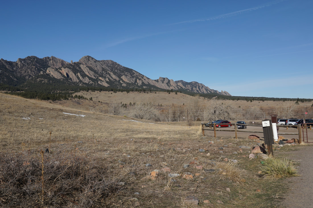
DIRECTIONS: From 93 south of Boulder, head west on Eldorado Springs Drive for about 1.8 miles to the Doudy Draw Trailhead.  There is a fee for parking.   

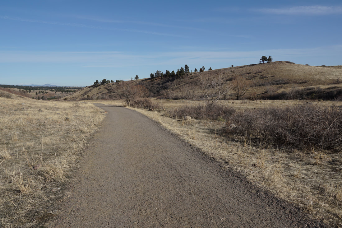
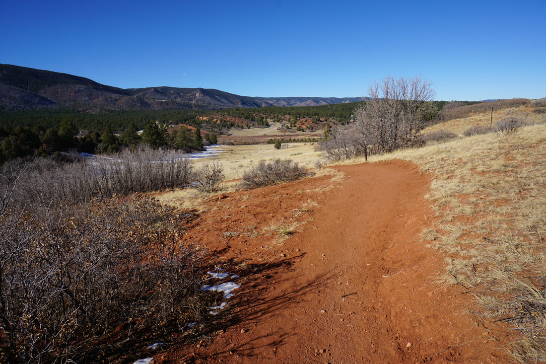
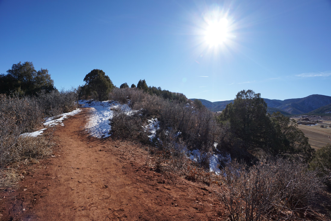
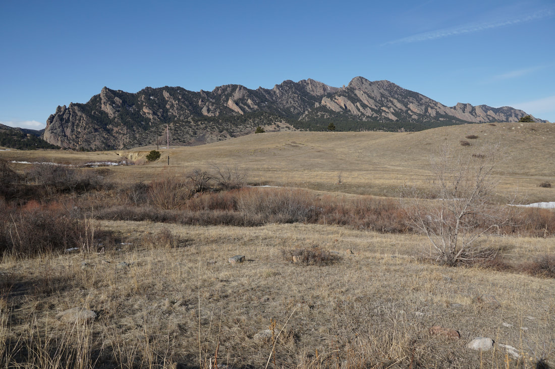
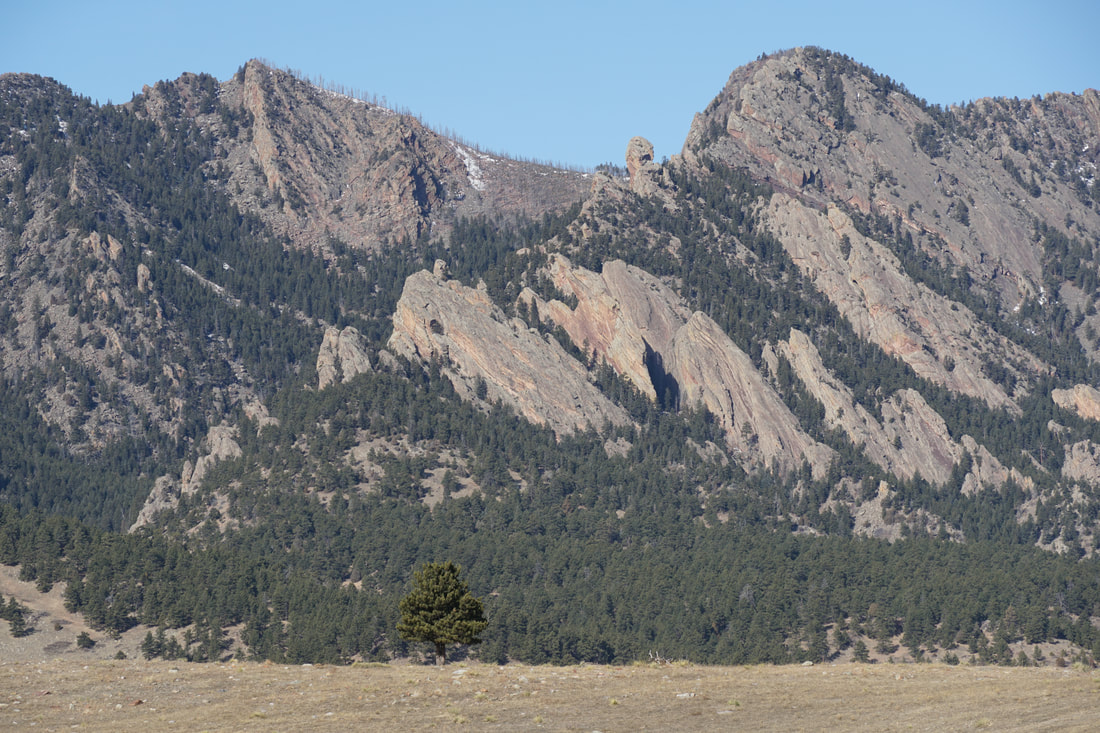
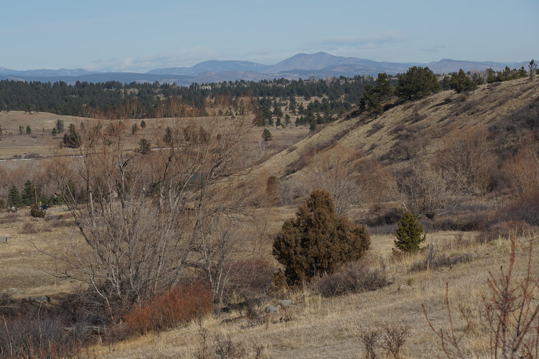
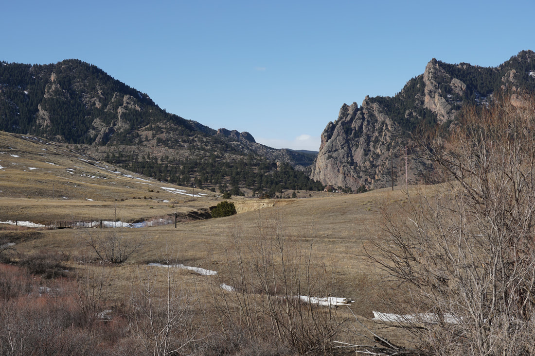
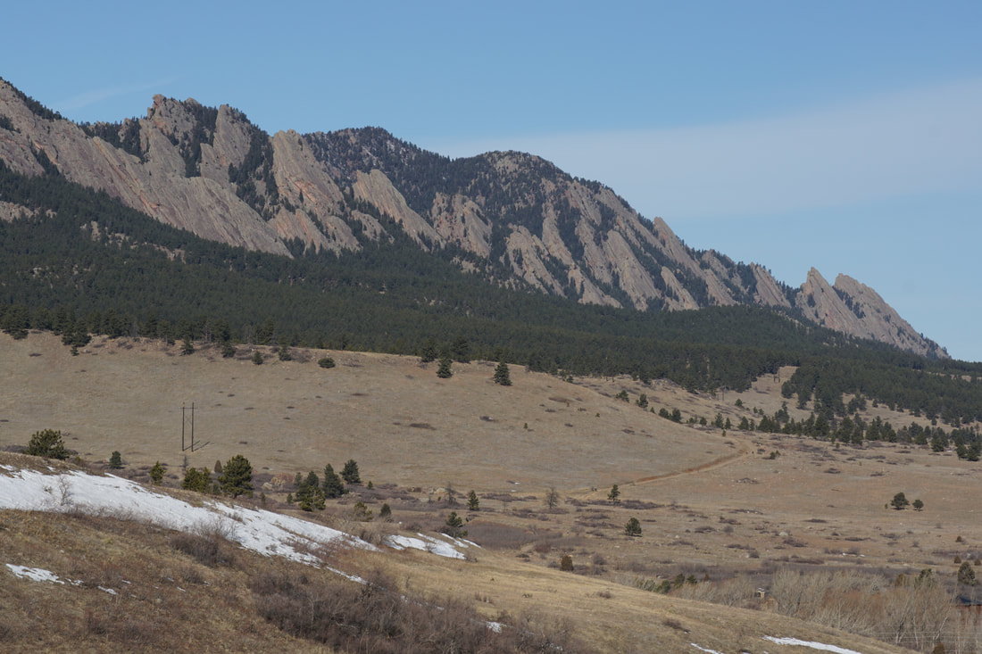
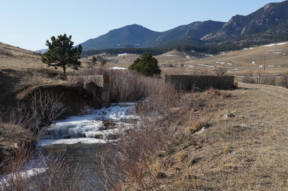
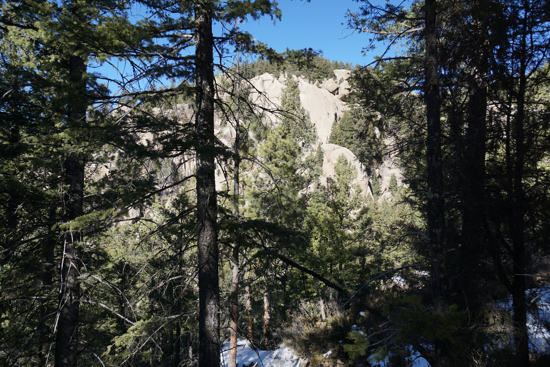
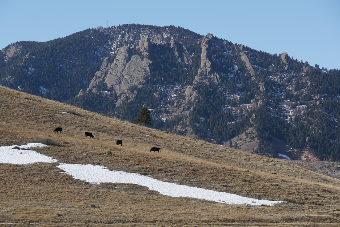
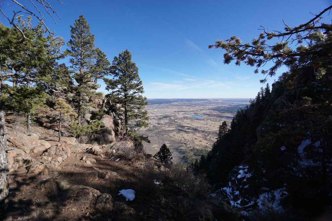
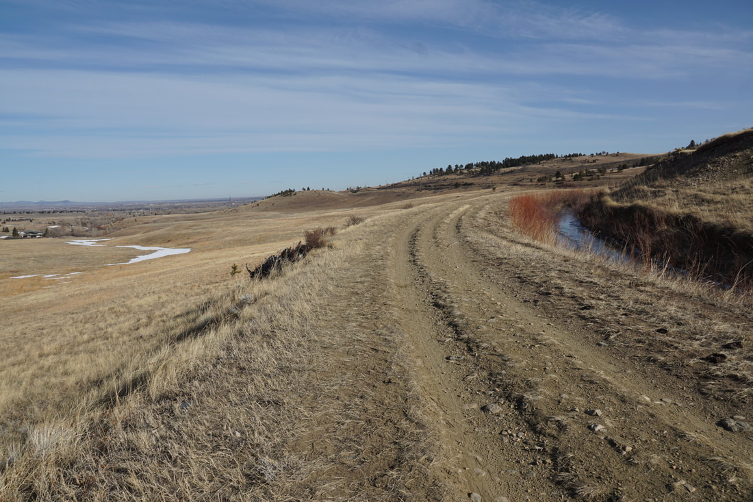
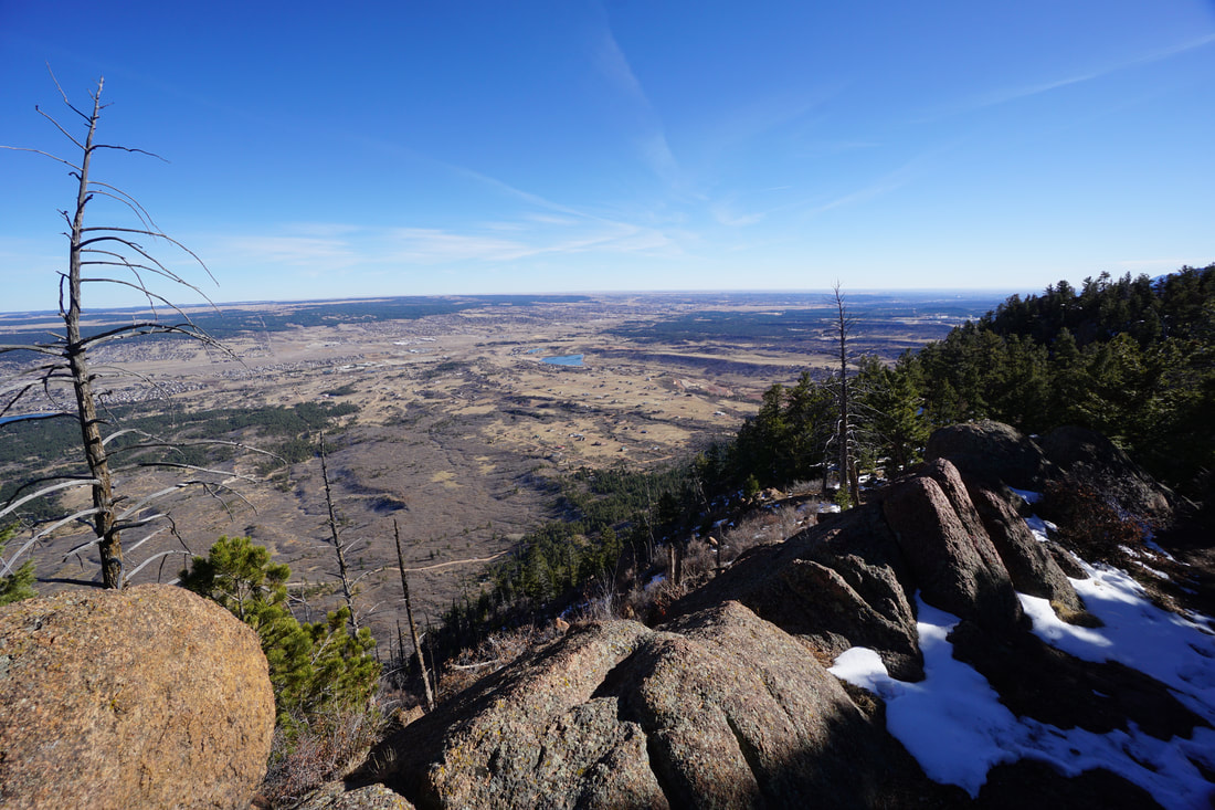
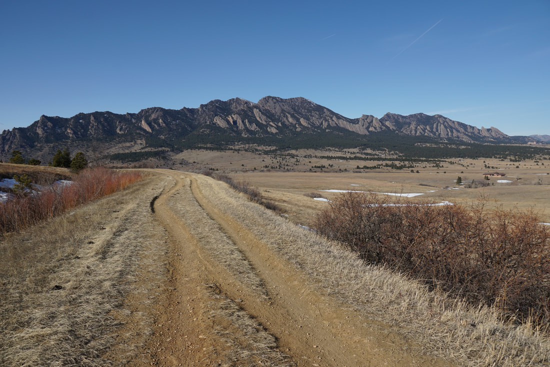
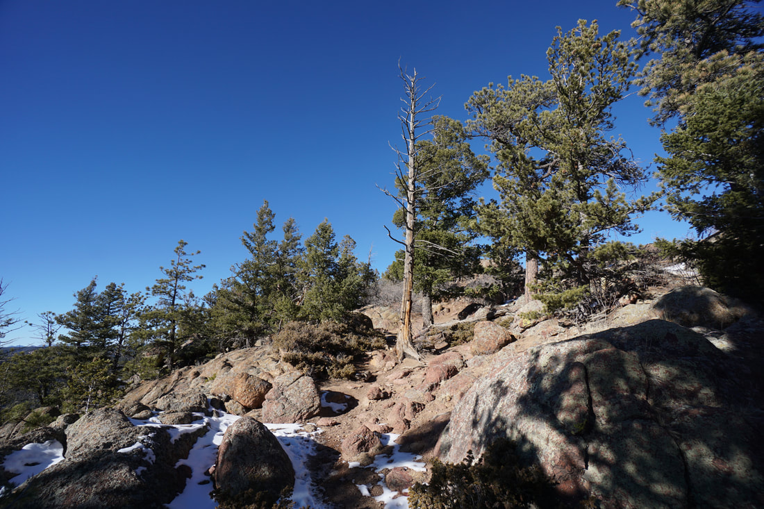
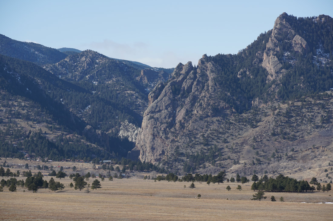
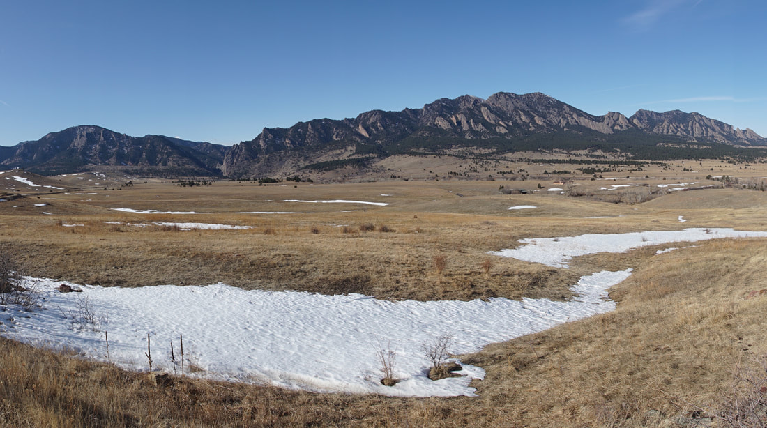
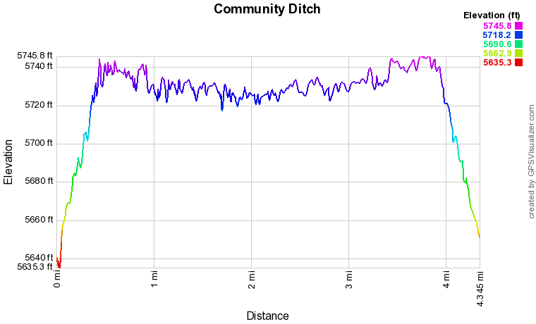
The Community Ditch Trail is a popular hiking and biking trail along the hills east of the Front Range foothills.  The hike is relatively easy as it follows Doudy Draw and an irrigation ditch.  The trail has some of the best views of the foothills near Boulder that you can find.  As you hike further on the Community Ditch Trail the views of Eldorado Canyon, South Boulder Peak, the Devil's Thumb, Bear Peak, Green Mountain, and the Flatirons get better and better.  

From the parking area, the first half mile follow Doudy Draw as you gently gain elevation.  Before long you'll arrive at a picnic/bathroom spot and a bridge crossing the stream.  Don't cross the bridge, rather turn left onto the Community Ditch Trail.  The trial winds up a hillside, crosses a cattle guard gate (don't spook the cows as walk by them...) and gains a bit of elevation as you near 93.  As you hike the views become more and more impressive.  Once you reach the gate before 93 you can either continue to the Marshal Mesa area or turn back and retrace your steps back to the trailhead. 

This trail sees a good amount of use and aside from the muddy season is year-round trail.  Again, the views are phenomenal and well worth some of your time.  
© Go Hike Colorado, 2020.  All Rights Reserved. 
Use of photographs without prior authorization is
​strictly prohibited.


Contact us at:
[email protected]
Legal Disclaimer - Information provided on this site is based upon our own observations, always double check information with the appropriate land management agency before heading into the backcountry.  Backcountry travel is inherently dangerous, please take all proper precautions.  Go Hike Colorado is not responsible for injury or incident.