|
|
|
Directions: The Trailhead for the Lion's Lair Trail is located along Sunshine Canyon Drive a little over a mile from the Centennial Trailhead. In Boulder, take Mapleton Ave west until it becomes Sunshine Canyon Drive. Continue west for about 1 mile and the trailhead will be on the right. The trailhead may be hard to spot. Look for the large wood steps rising from a wide private road. There is not parking along the private road but there is parking just around the corner on Sunshine Canyon Drive, enough space for about 6 cars. If this parking is full, continue west on Sunshine Canyon Drive for 1/2 mile to the access point for the Lion's Lair Spur Trail. Parking at the spur trailhead cuts about 1 mile (RT) from the hike.
The Lion's Lair Trail is a relatively new addition to Boulder's Open Space and Mountain Parks system. The trail offers a longer, but gentler, route up to the popular summit of Mt. Sanitas then the Mt. Sanitas Trail. The trail was wonderfully designed and features a series of gentle switchbacks leading to the rocky summit and ridge line. This trail is popular but far less crowded than the Mt. Sanitas Trail.
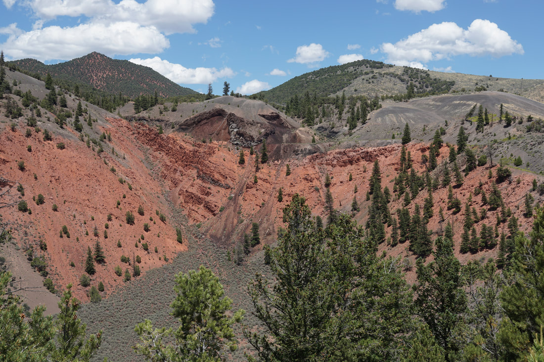
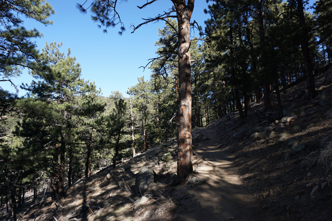
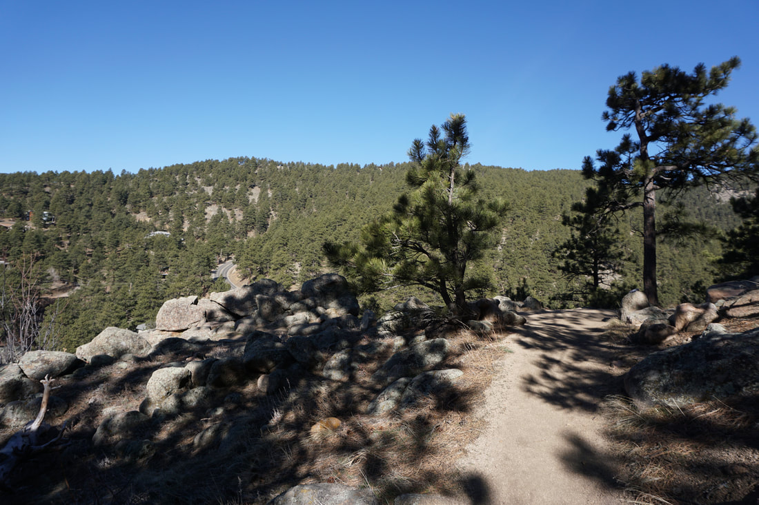
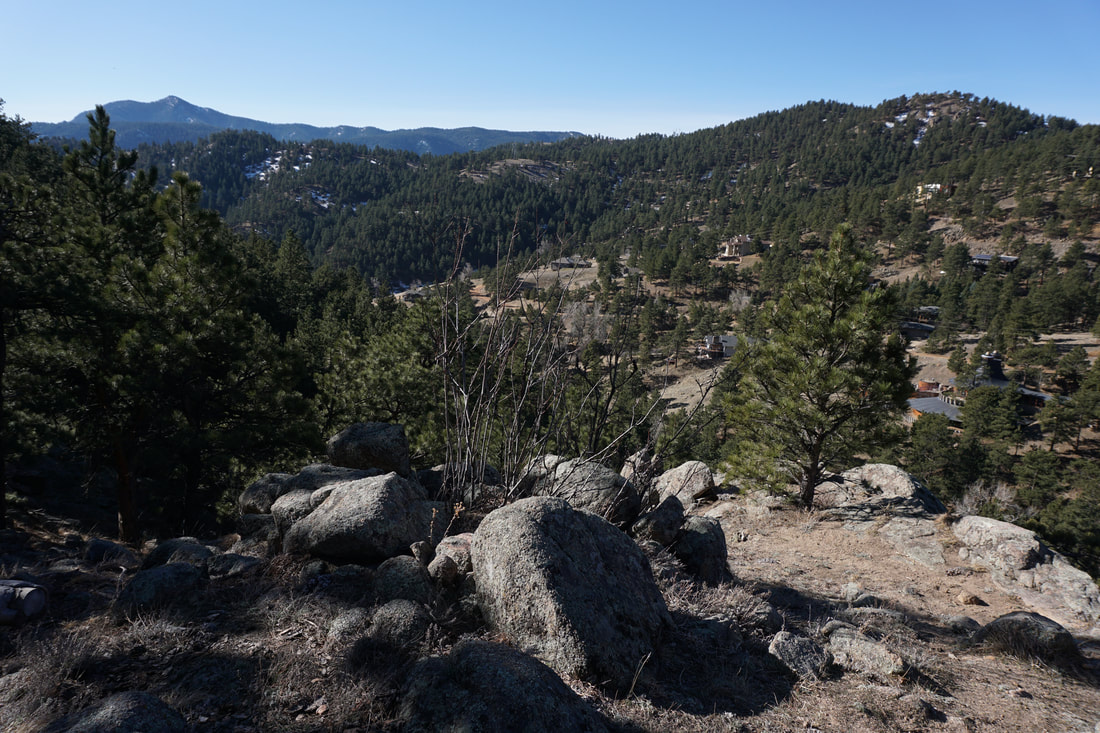
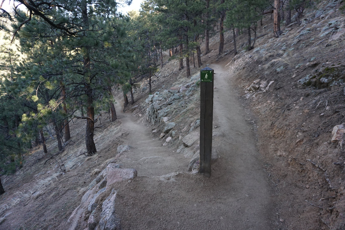
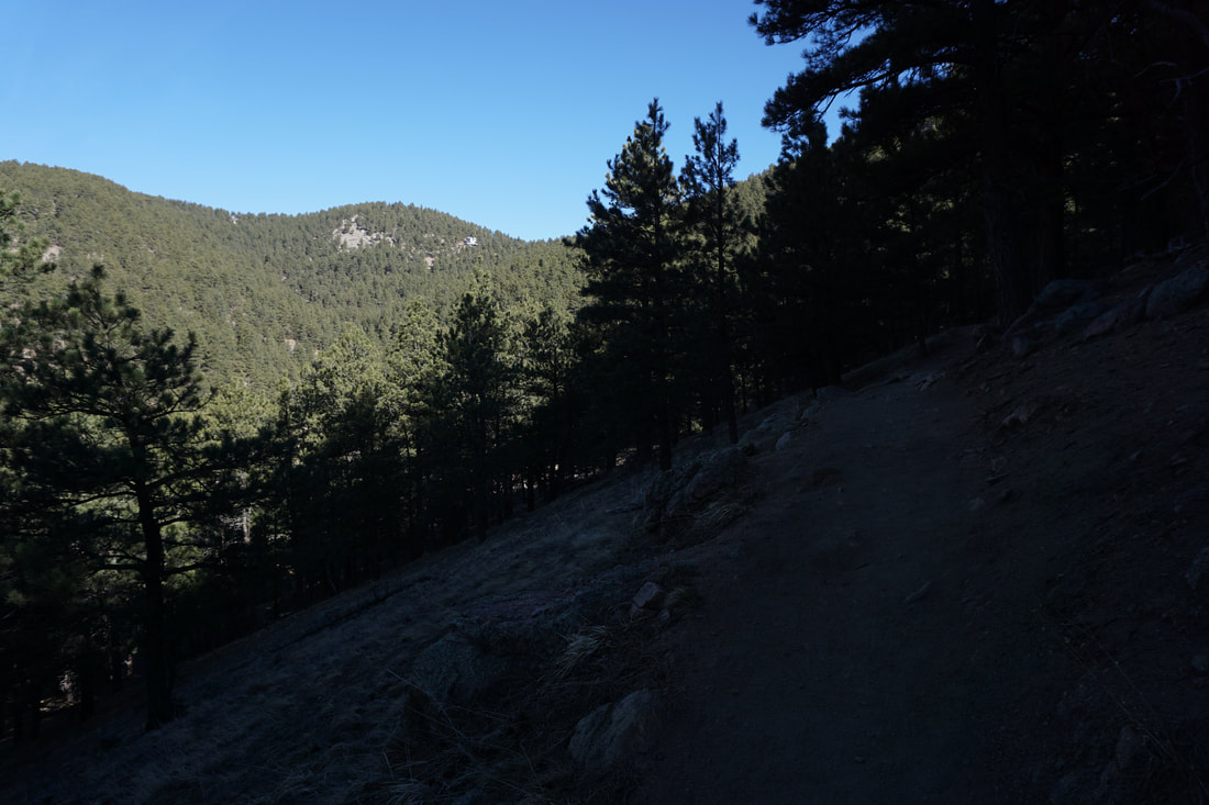
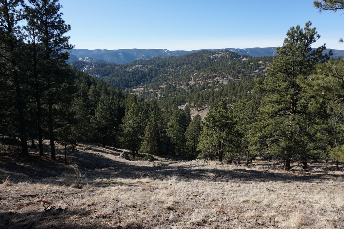
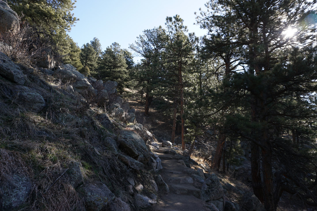
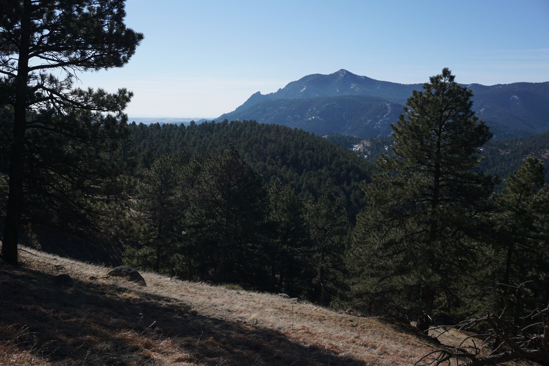
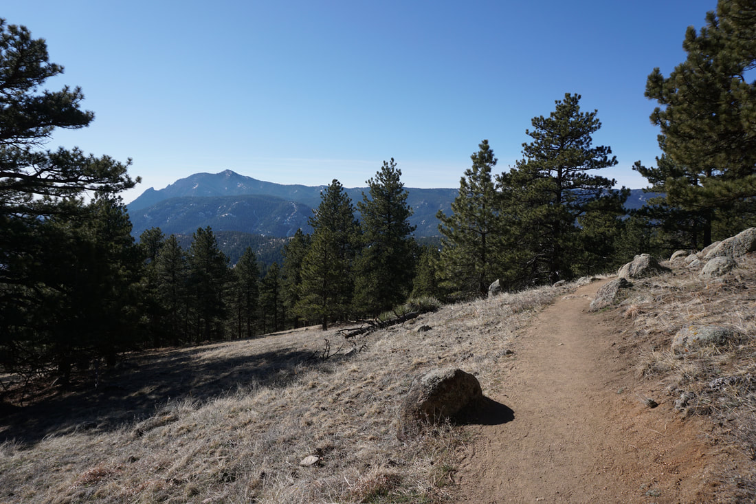
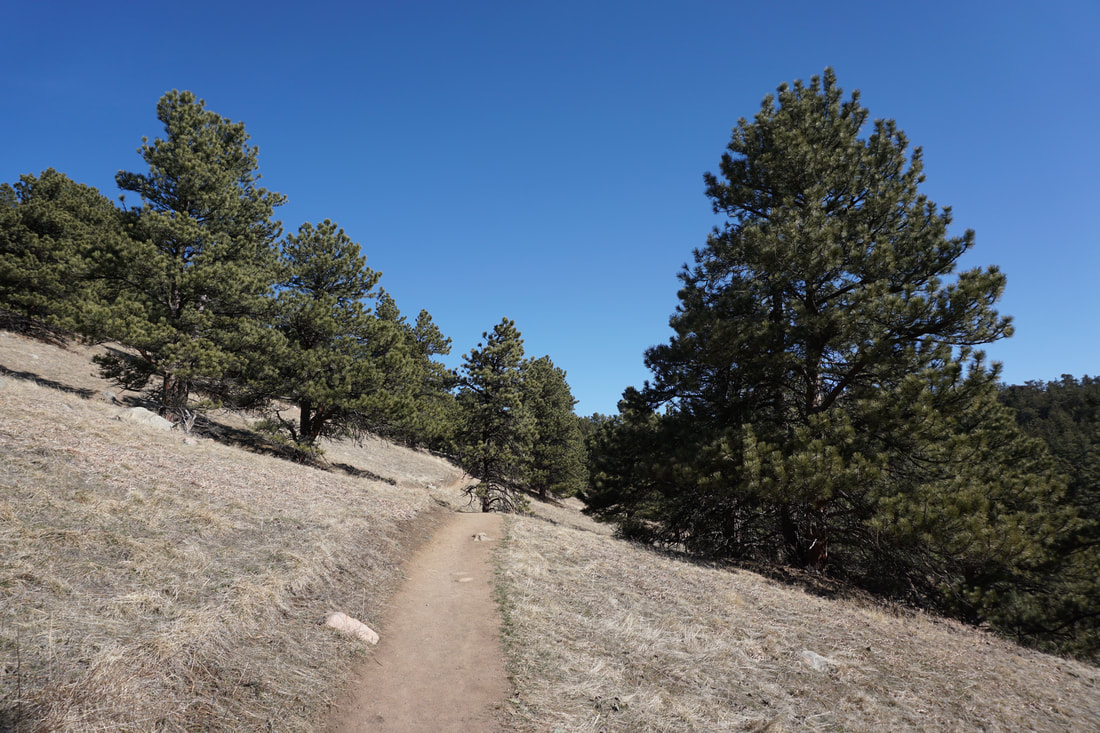
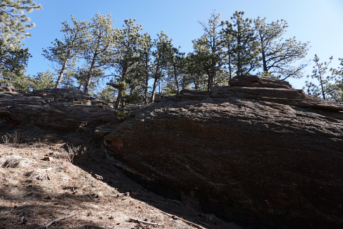
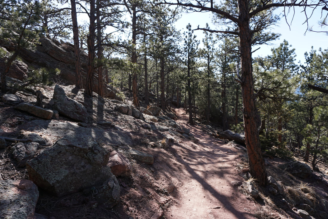
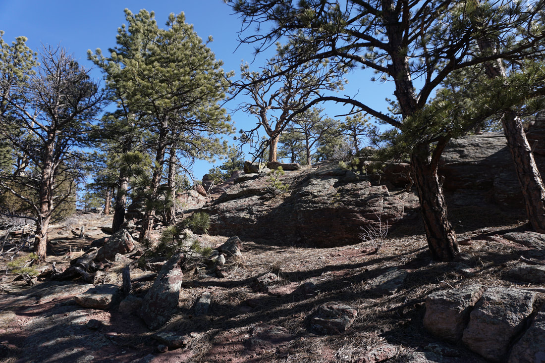
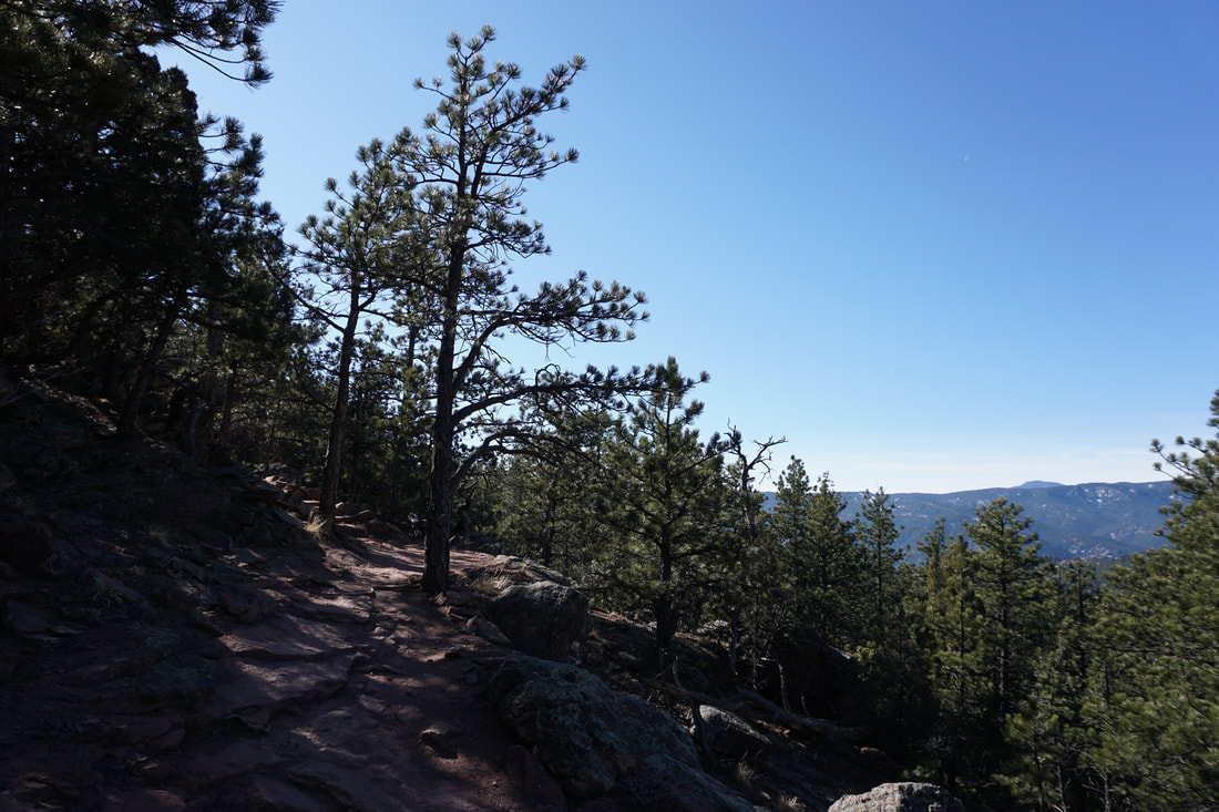
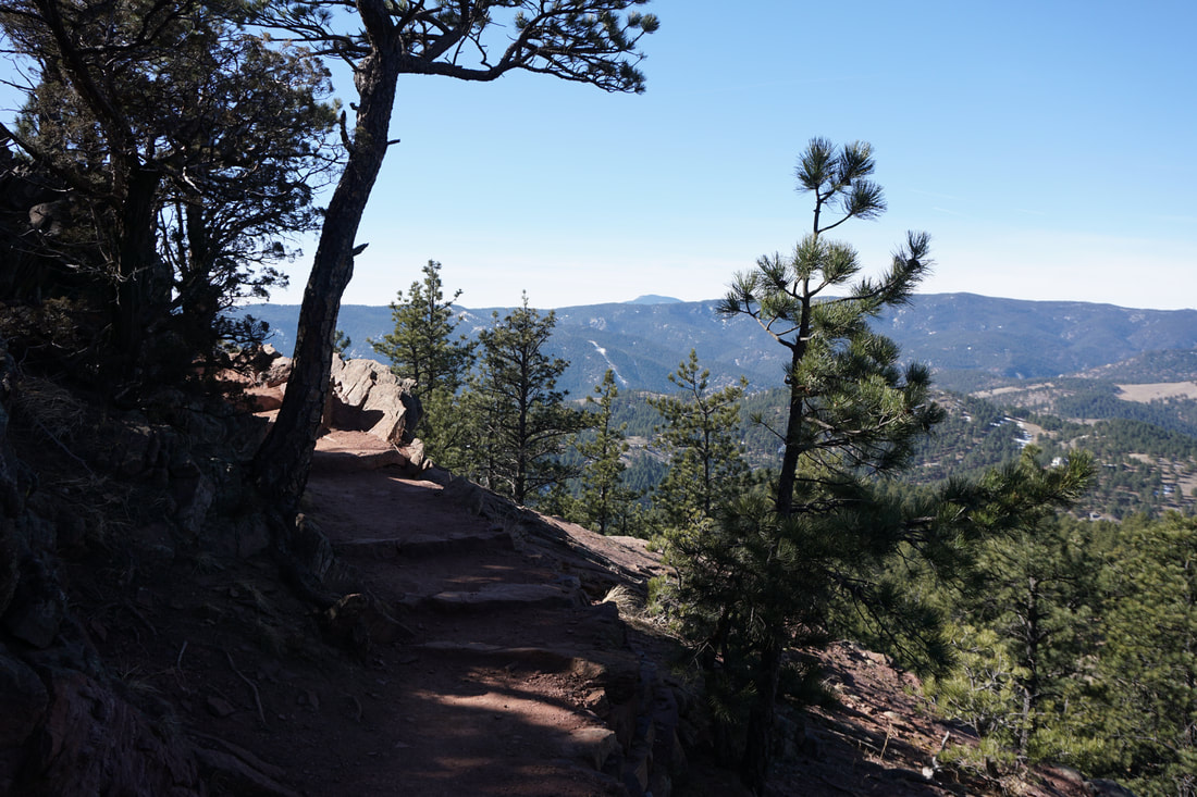
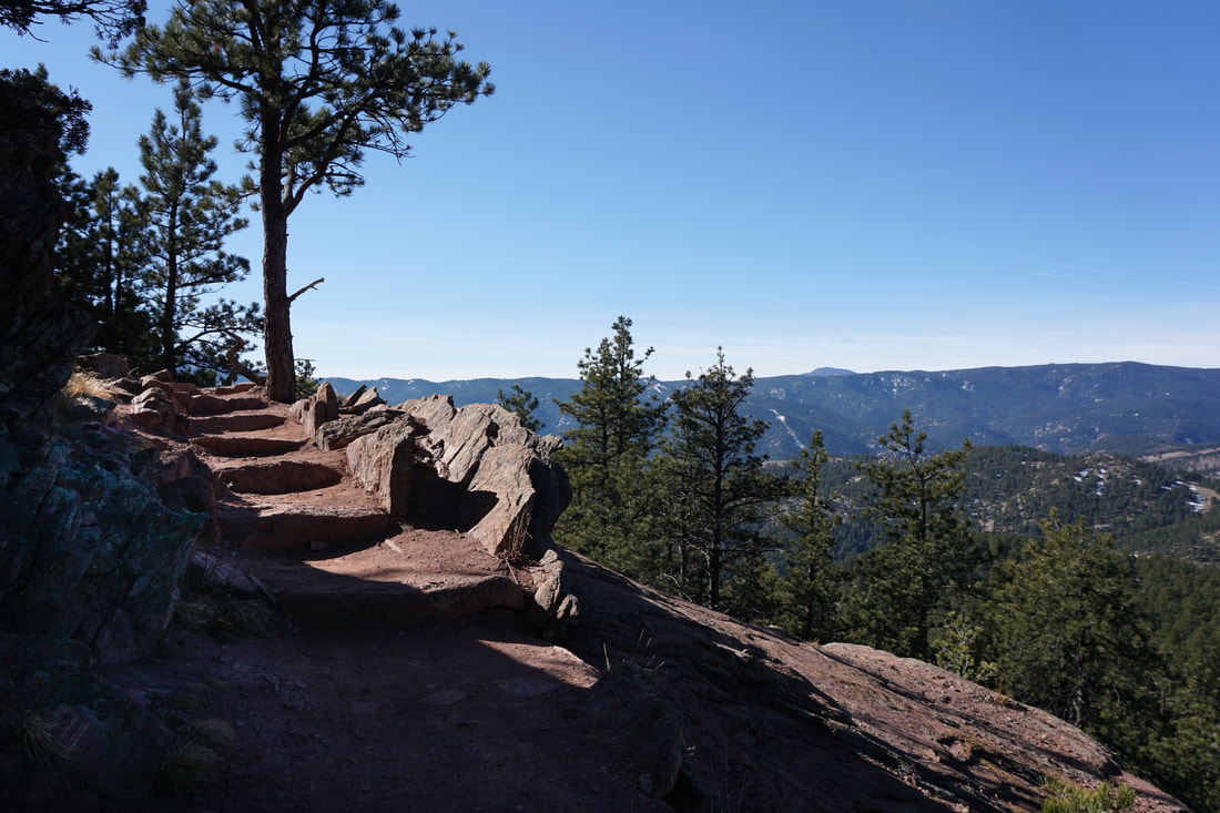
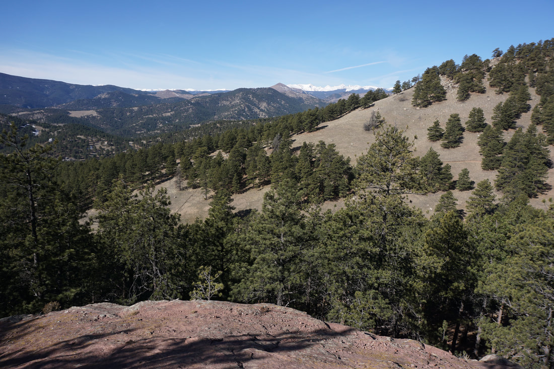
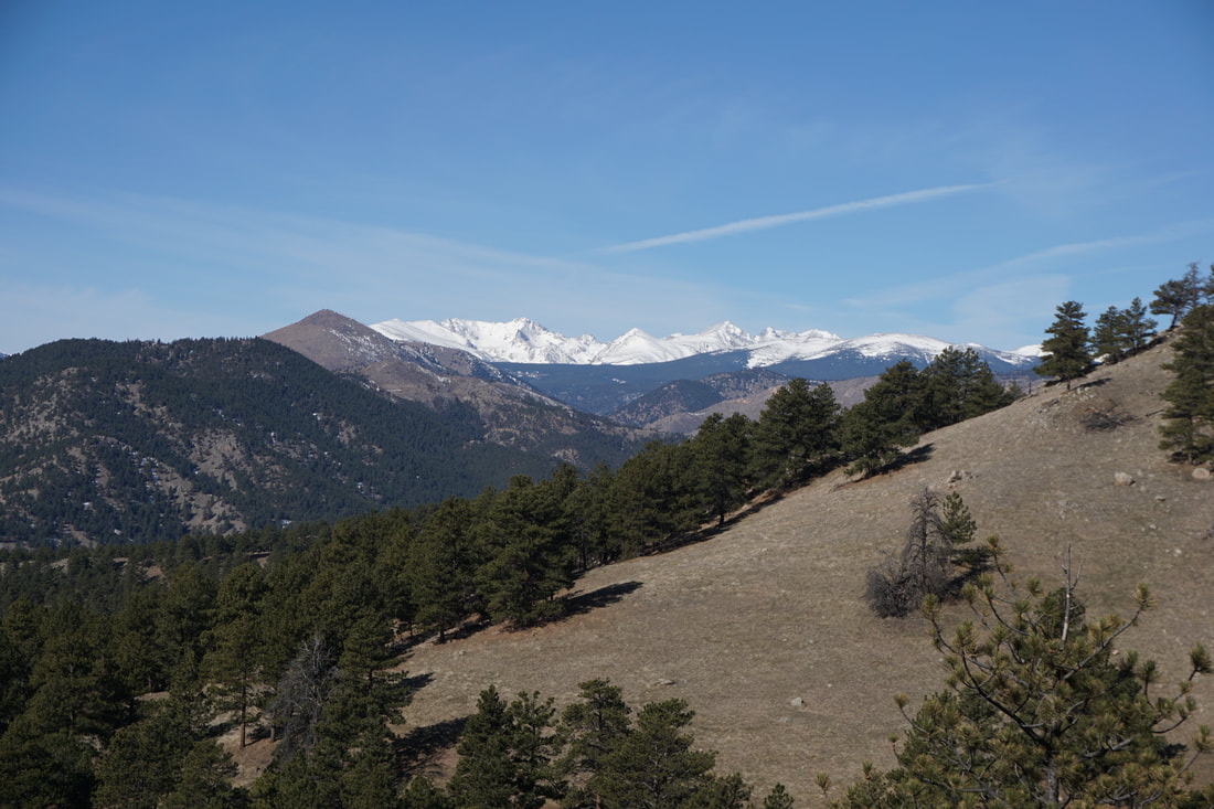
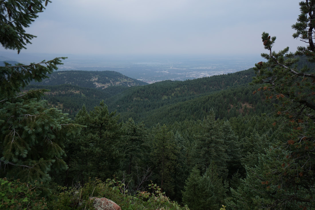
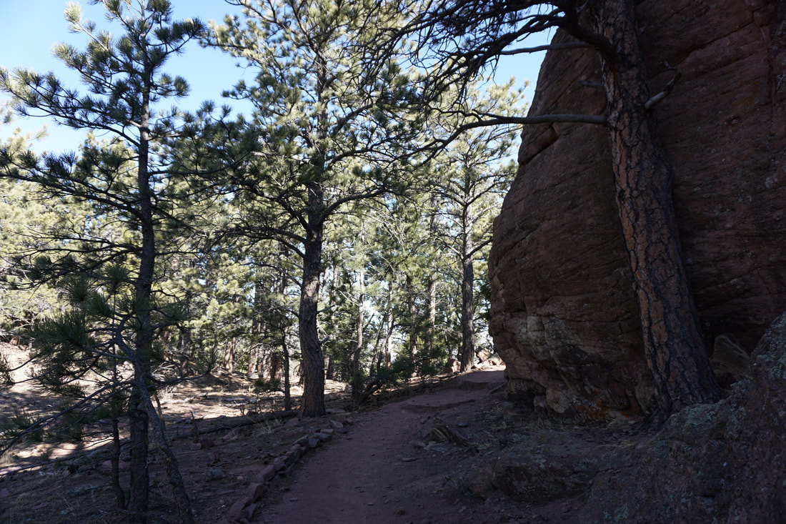
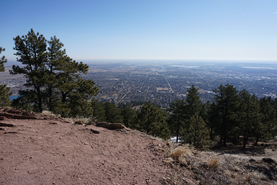
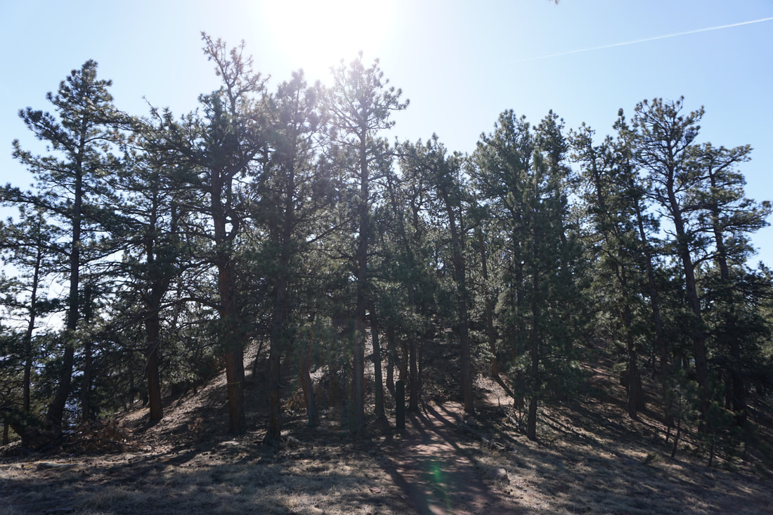
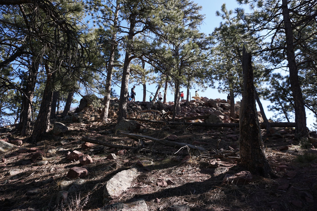
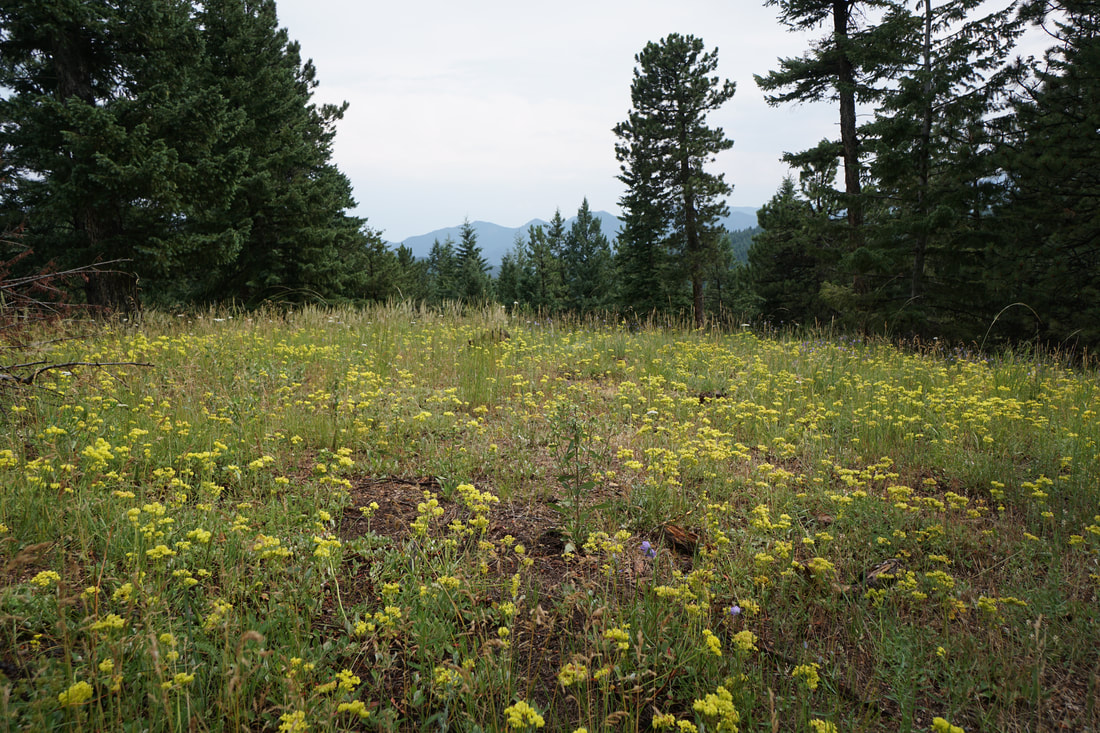
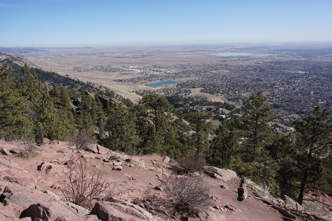
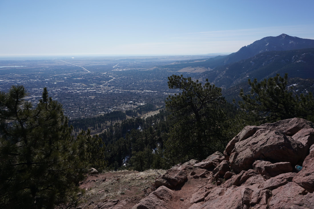
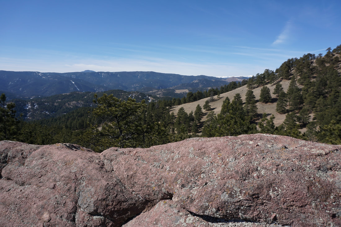
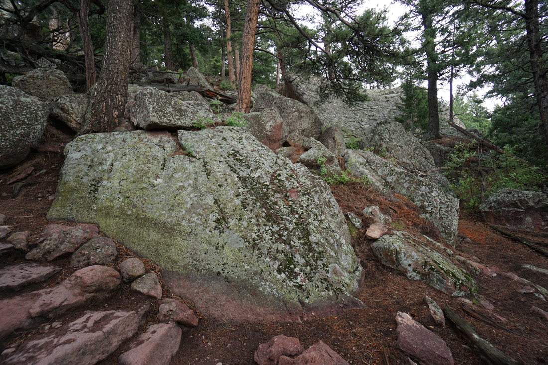
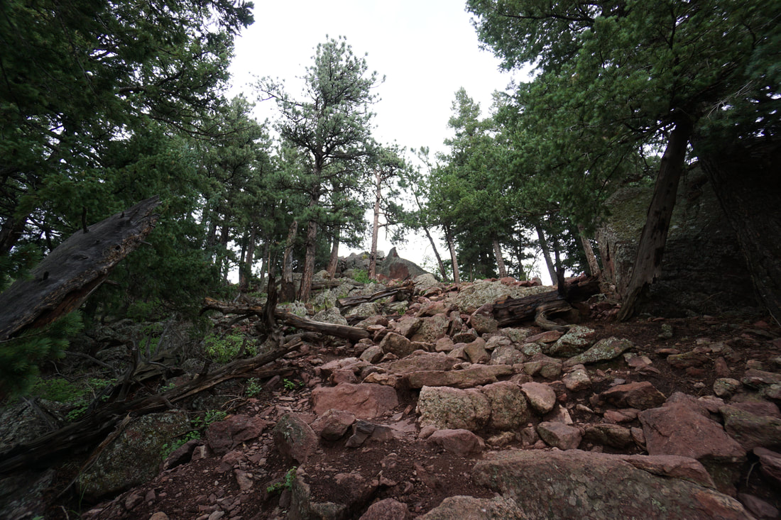
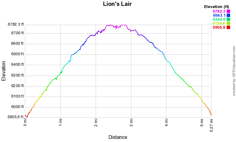
From the trailhead in Sunshine Canyon, the trail ascends a staircase and a short steep section. From here on, the trail is made up of switchbacks traversing pine forest and open meadows. At the .7 mile mark you'll reach the junction with the Lion's Lair Spur trail. Just before this junction is a view point looking over Sunshine Canyon with Green Mountain's imposing form to the east. The switchbacks continue as you climb higher and soon reach a large sloping meadow. Past the meadow, the trail turns to the south as you reach the summit ridge. This is the most scenic section of the trail as you explore red rock gardens and towers. This section is ripe for exploration. Numerous rock outcroppings provide wonderful views of the eastern plains, the surrounding foothills, and the Indian Peaks to the west. These viewpoints are likely to be much quieter than the summit so take your time through this portion of the trail. After about .4 miles of rolling along the ridge, you'll reach the rocky and popular summit of Mt. Sanitas. The views are spectacular with Boulder reaching out below you and Green Mountain standing guard to your south. At this point you can return the way you came (as detailed here), or you can piece together a longer loop by descending the Mt. Sanitas Trail and returning to the trailhead via the Sunshine Canyon Trail. |
|