GO HIKE COLORADO
Get in Touch:
  • HOME
  • ABOUT
  • HIKES BY REGION
    • DENVER AREA >
      • Denver Mountain Parks
      • Jefferson County Open Space
      • Lakewood Parks
      • Denver Area Greenways
    • BOULDER AREA
    • DOUGLAS COUNTY
    • FORT COLLINS AREA
    • COLORADO SPRINGS AREA
    • FRONT RANGE
    • TENMILE & MOSQUITO RANGES
    • GORE RANGE
    • SANGRE DE CRISTO MOUNTAINS
    • PARK RANGE
    • SAWATCH RANGE
    • ELK MOUNTAINS
    • SAN JUAN MOUNTAINS
    • THE FLAT TOPS
    • GRAND MESA
    • COLORADO PLATEAU
    • EASTERN PLAINS
  • NATIONAL PARK HIKES
    • BENT'S OLD FORT NATIONAL HISTORIC SITE
    • BLACK CANYON OF THE GUNNISON NATIONAL PARK
    • COLORADO NATIONAL MONUMENT
    • CURECANTI NATIONAL RECREATION AREA
    • DINOSAUR NATIONAL MONUMENT
    • FLORISSANT FOSSIL BEDS NATIONAL MONUMENT
    • MESA VERDE NATIONAL PARK
    • ROCKY MOUNTAIN NATIONAL PARK
    • GREAT SAND DUNES NATIONAL PARK
    • HOVENWEEP NATIONAL MONUMENT
    • SAND CREEK MASSACRE NATIONAL HISTORIC SITE
    • YUCCA HOUSE NATIONAL MONUMENT
  • HIKES BY CATEGORY
    • HIKES TO ALPINE LAKES
    • HIKES TO PEAKS & PASSES
    • HIKES THROUGH CANYONS
    • HIKES WITH FALL COLORS
    • HIKES ALONG THE I-70 CORRIDOR
    • HIKES ON PAVED TRAILS
    • HIKES FOR KIDS
    • HIKES TO WATERFALLS
    • HIKES ALONG RIVERS
    • HIKES WITH ROCK FORMATIONS
    • HIKES WITH WILDFLOWERS
    • WINTER HIKES
  • NEWS
  • WEBCAMS
  • $UPPORT GHC
  • INTERACTIVE MAP

Mt. Sanitas > Dakota Ridge Loop
City of Boulder OSMP

Date Hiked: October 16, 2013

​Distance: 3 mi (RT)
Elevation Gain: 1,300ft
Elevation Min/Max: 5,540 to 6,808ft
Managing Agency: City of Boulder Open Space & Mt. Parks
Fee: None

Centennial Trailhead Map
Picture

Directions:  The trailhead is located on Mapleton Ave in Boulder.  Head west on Mapleton and the Centennial trailhead will be on the right.

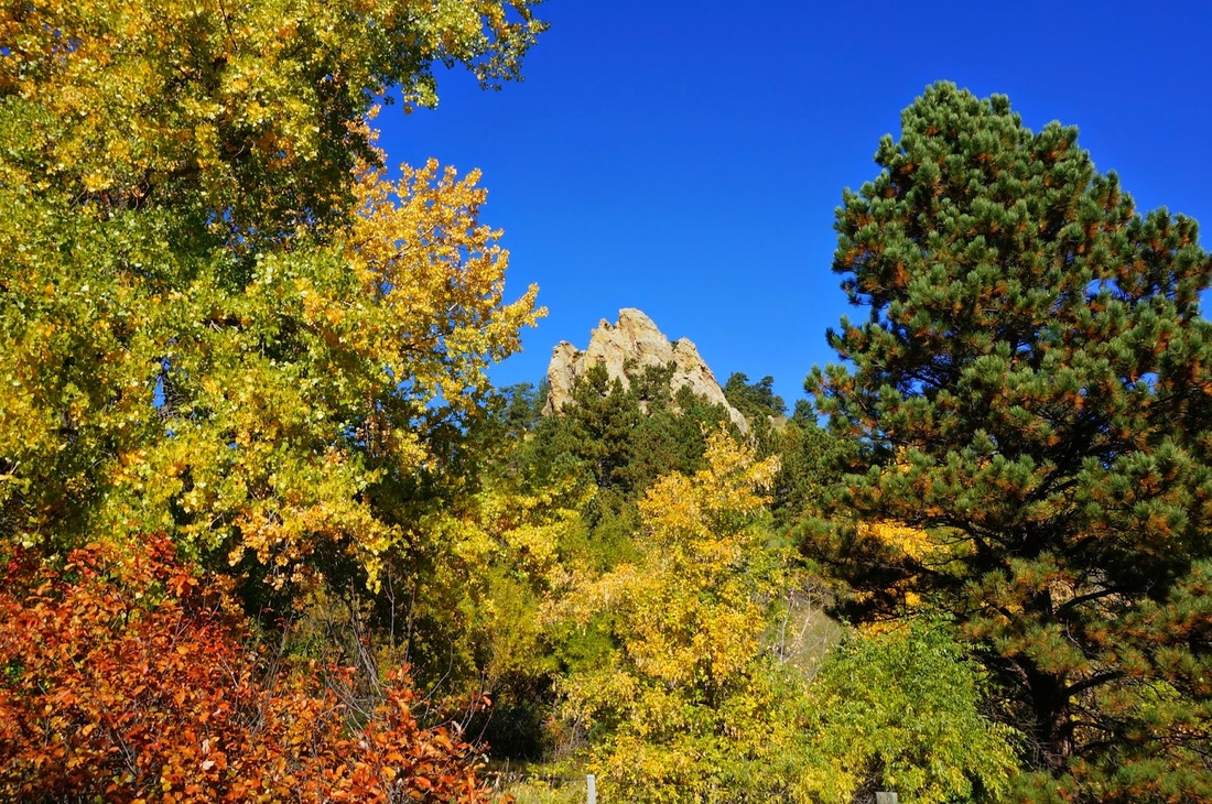
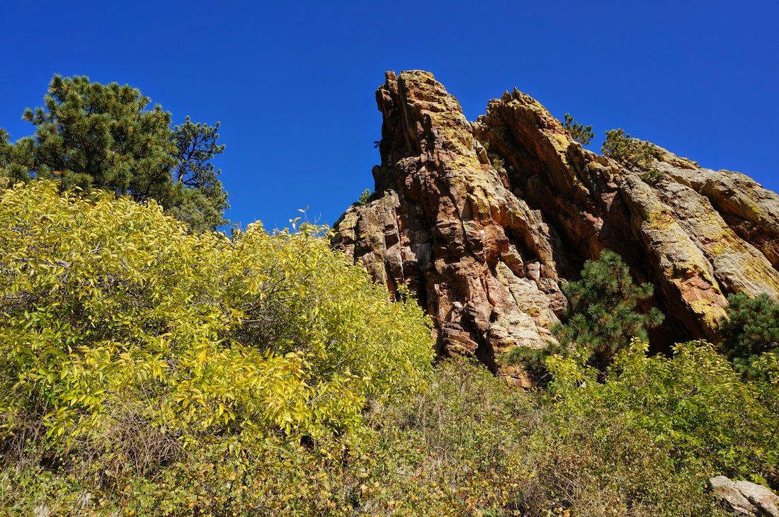
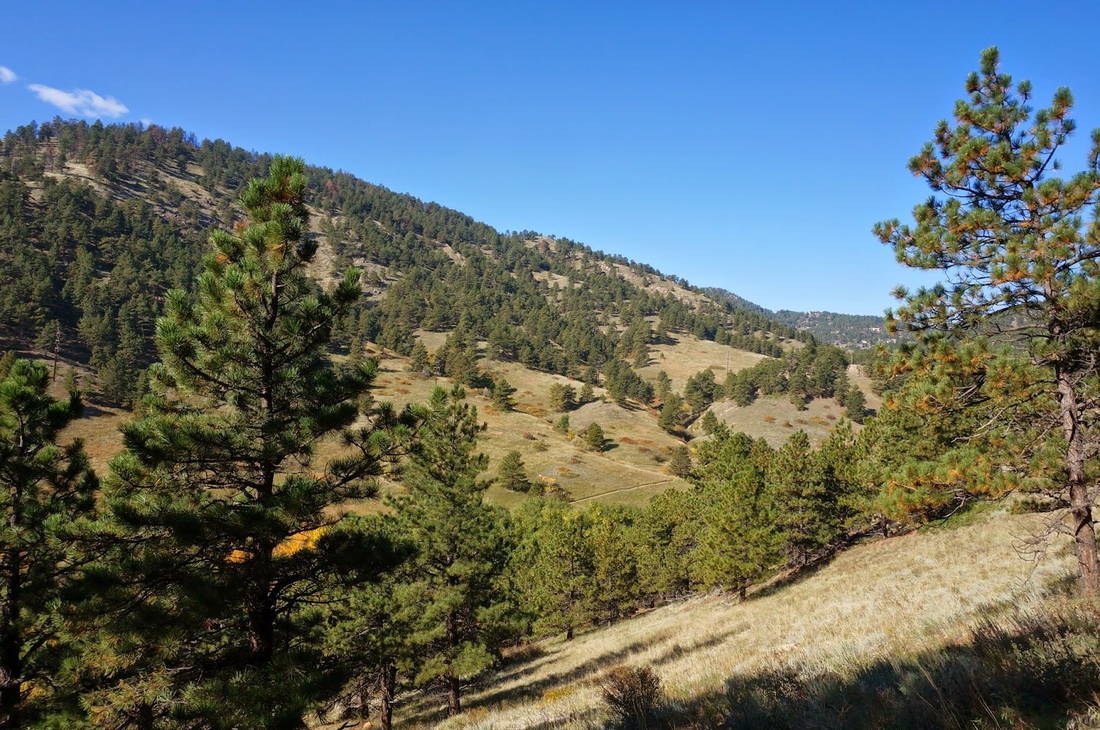
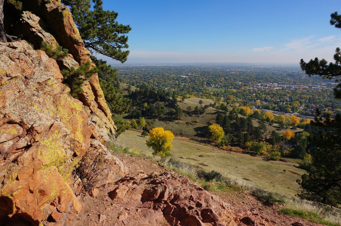
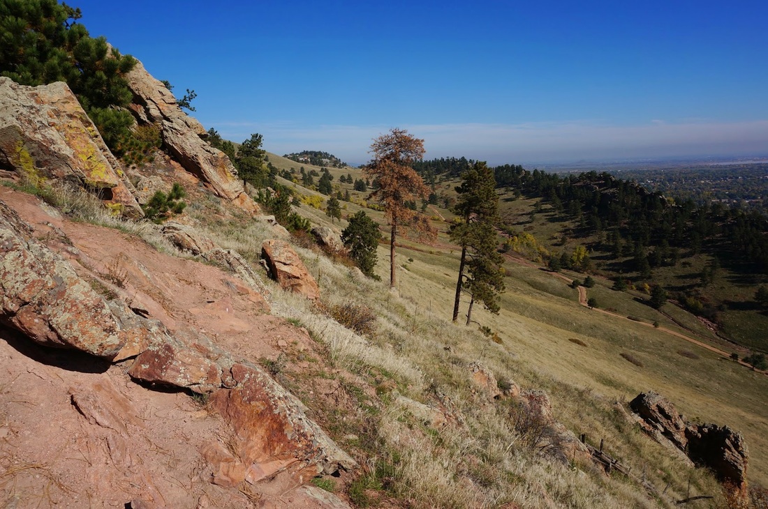
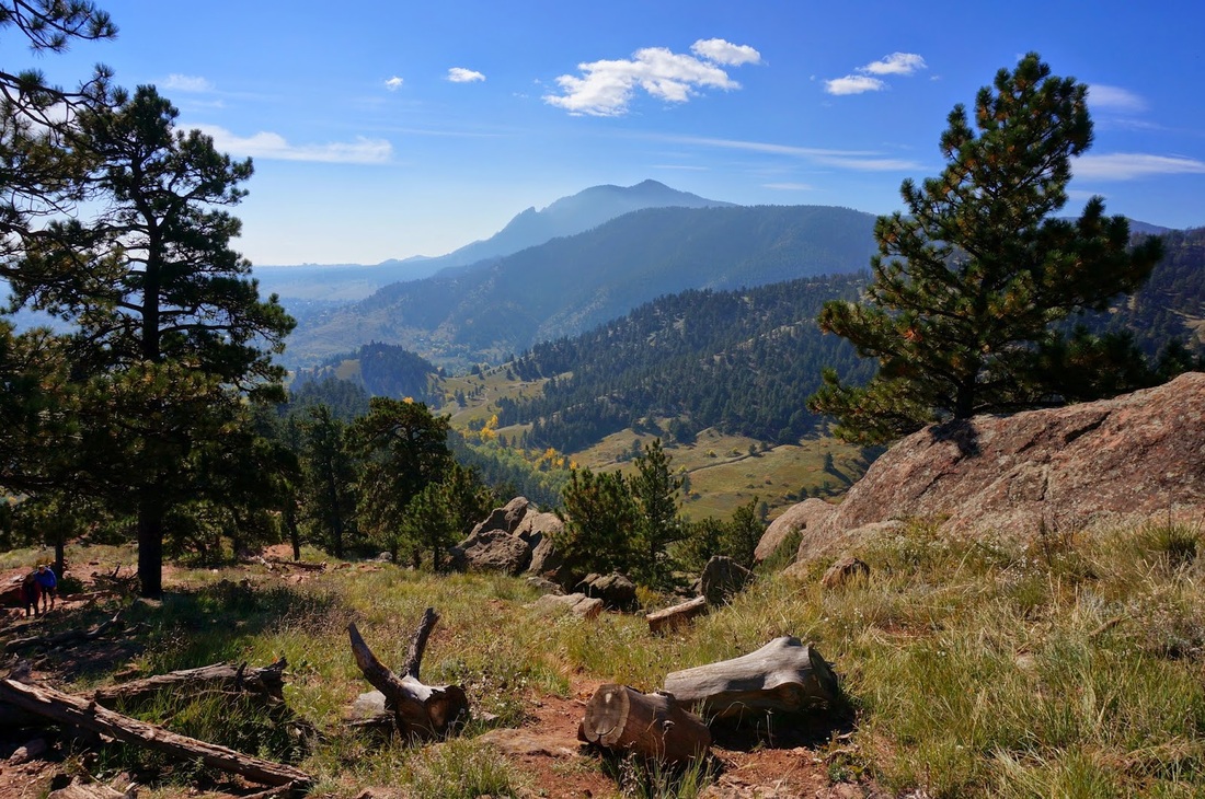
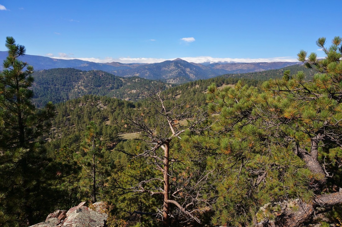
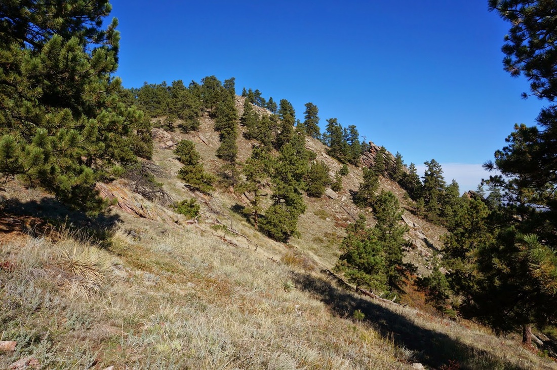
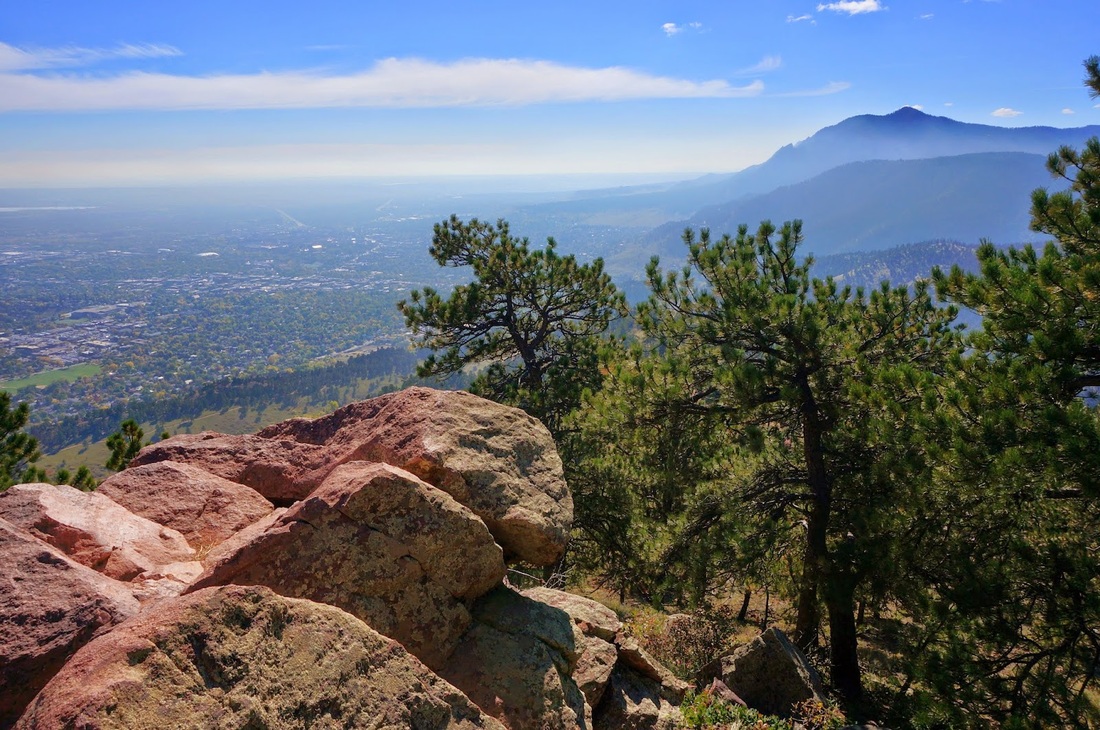
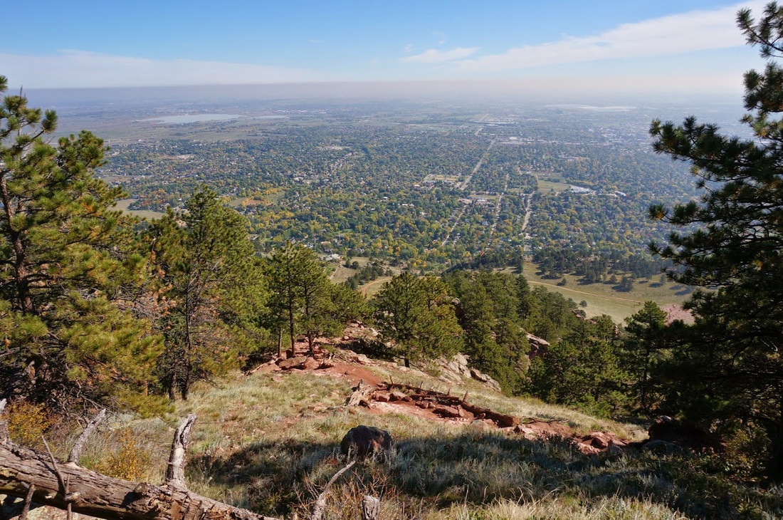
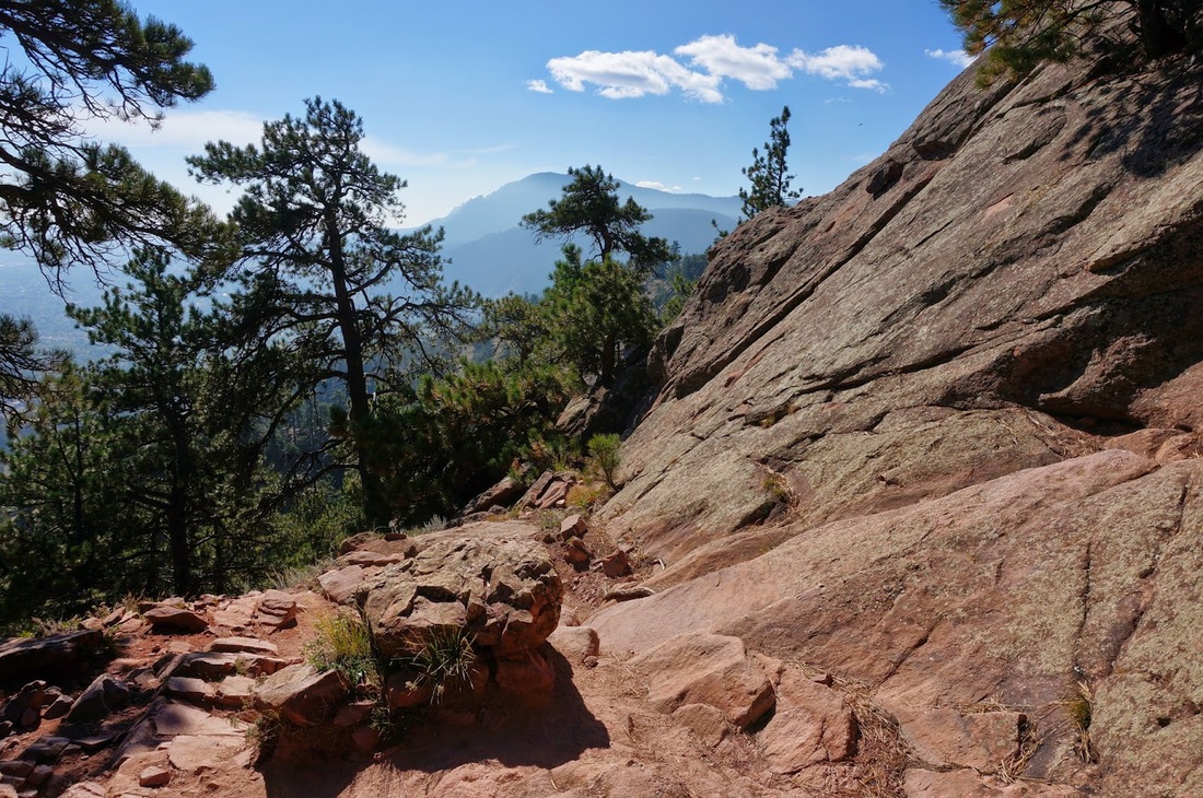
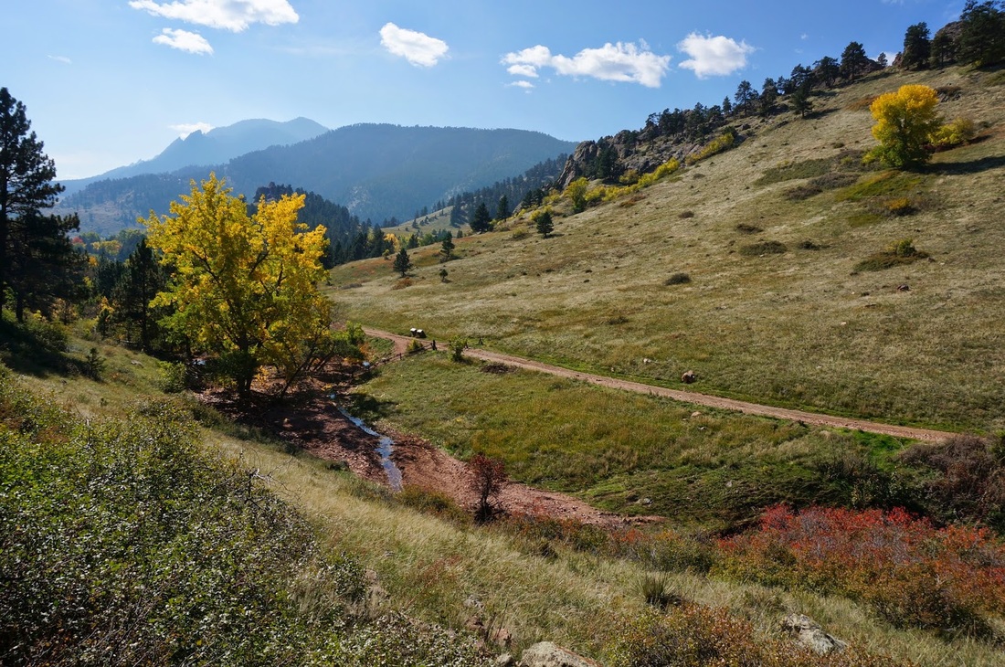
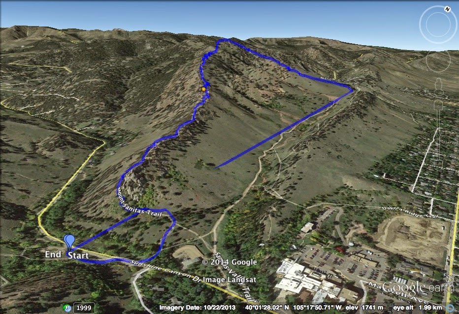
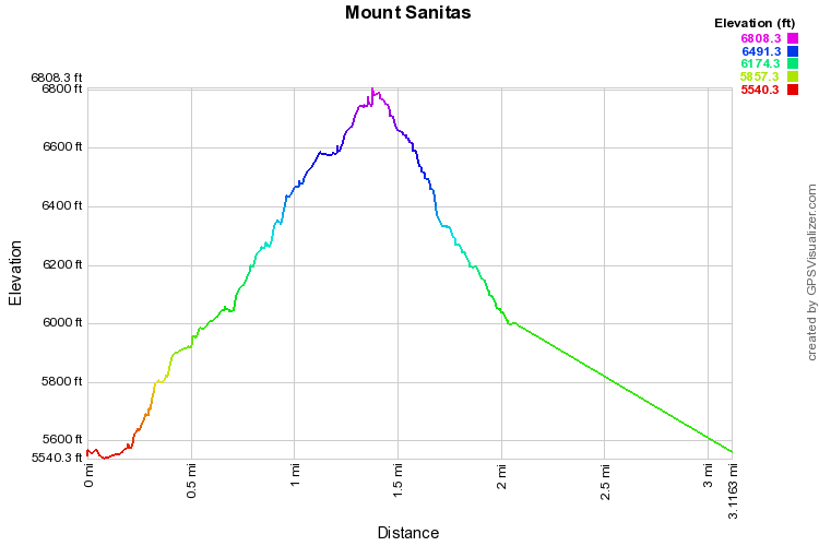
The Mount Sanitas trail is very popular, and for good reason it is a tough but fun hike.  It is short enough that there is little time commitment but it has a steep grade and little relief on the way up.  You gain 1,300 ft in about a mile and a half.  The trail is rocky and there are many places where you can break through the hogback formation to get great views of Boulder and Green Mountain.  Going down the East Ridge trail is difficult and rocky, but again, great fun.

After the 2013 floods the Sanitas Valley trail leading back to the trailhead is closed for re-building (check the website for updated information).  If it is closed, and even if it's not, you can, and should, take the Dakota Ridge trail instead.  It gets more shade and less traffic and gives you a great view of Sanitas Valley. 
© Go Hike Colorado, 2020.  All Rights Reserved. 
Use of photographs without prior authorization is
​strictly prohibited.


Contact us at:
[email protected]
Legal Disclaimer - Information provided on this site is based upon our own observations, always double check information with the appropriate land management agency before heading into the backcountry.  Backcountry travel is inherently dangerous, please take all proper precautions.  Go Hike Colorado is not responsible for injury or incident.