GO HIKE COLORADO
Get in Touch:
  • HOME
  • ABOUT
  • HIKES BY REGION
    • DENVER AREA >
      • Denver Mountain Parks
      • Jefferson County Open Space
      • Lakewood Parks
      • Denver Area Greenways
    • BOULDER AREA
    • DOUGLAS COUNTY
    • FORT COLLINS AREA
    • COLORADO SPRINGS AREA
    • FRONT RANGE
    • TENMILE & MOSQUITO RANGES
    • GORE RANGE
    • SANGRE DE CRISTO MOUNTAINS
    • PARK RANGE
    • SAWATCH RANGE
    • ELK MOUNTAINS
    • SAN JUAN MOUNTAINS
    • THE FLAT TOPS
    • GRAND MESA
    • COLORADO PLATEAU
    • EASTERN PLAINS
  • NATIONAL PARK HIKES
    • BENT'S OLD FORT NATIONAL HISTORIC SITE
    • BLACK CANYON OF THE GUNNISON NATIONAL PARK
    • COLORADO NATIONAL MONUMENT
    • CURECANTI NATIONAL RECREATION AREA
    • DINOSAUR NATIONAL MONUMENT
    • FLORISSANT FOSSIL BEDS NATIONAL MONUMENT
    • MESA VERDE NATIONAL PARK
    • ROCKY MOUNTAIN NATIONAL PARK
    • GREAT SAND DUNES NATIONAL PARK
    • HOVENWEEP NATIONAL MONUMENT
    • SAND CREEK MASSACRE NATIONAL HISTORIC SITE
    • YUCCA HOUSE NATIONAL MONUMENT
  • HIKES BY CATEGORY
    • HIKES TO ALPINE LAKES
    • HIKES TO PEAKS & PASSES
    • HIKES THROUGH CANYONS
    • HIKES WITH FALL COLORS
    • HIKES ALONG THE I-70 CORRIDOR
    • HIKES ON PAVED TRAILS
    • HIKES FOR KIDS
    • HIKES TO WATERFALLS
    • HIKES ALONG RIVERS
    • HIKES WITH ROCK FORMATIONS
    • HIKES WITH WILDFLOWERS
    • WINTER HIKES
  • NEWS
  • WEBCAMS
  • $UPPORT GHC
  • INTERACTIVE MAP

Papini Natural Area
City of Boulder OSMP

Date Hiked: January 16, 2012

Distance:  2.2 mi (RT)
Elevation Gain:  200ft
Elevation Min/Max: 5,308 to 5,494
Managing Agency:  City of Boulder Open Space & Mt. Parks
Fee:  None

Button Text
Picture

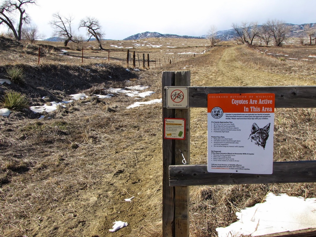
Directions:  From Boulder, head north on Hwy 36 and make a right (east) on Jay Rd.  Turn left (north) on 51st Street and left (west) on Kelso Rd.  At the end of Kelso Road there is a dirt road and a gate this is basically the trailhead and parking area.

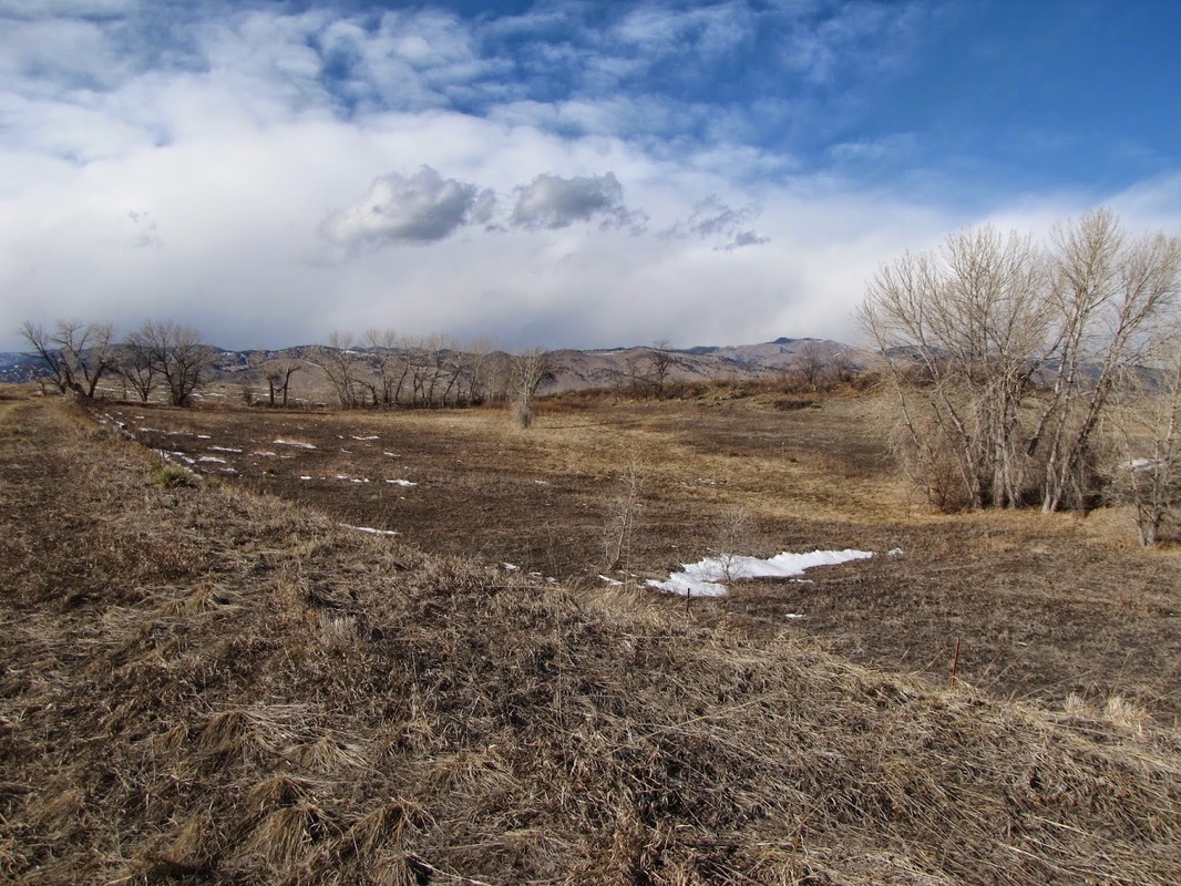
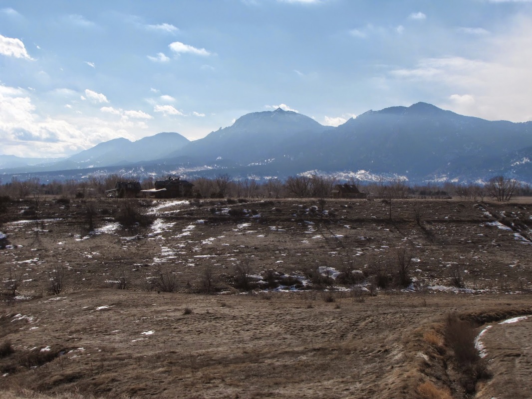
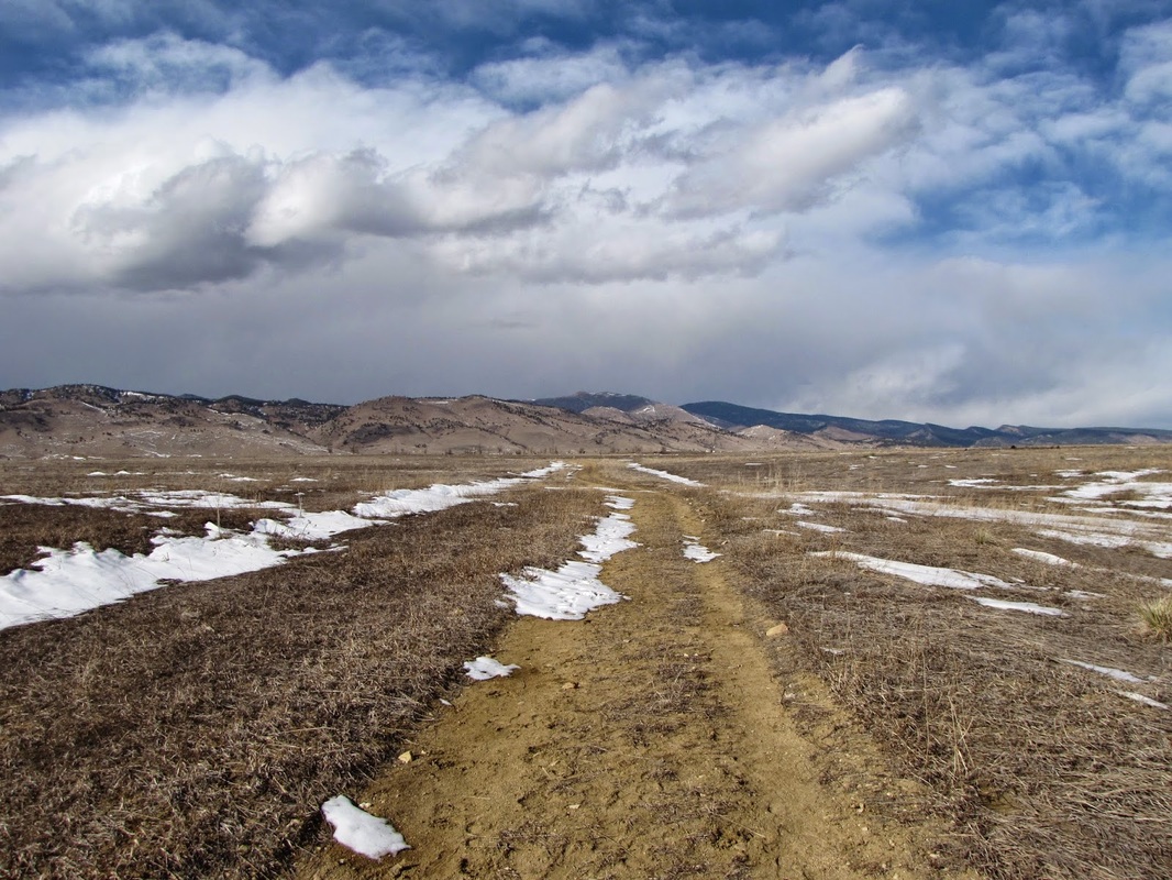
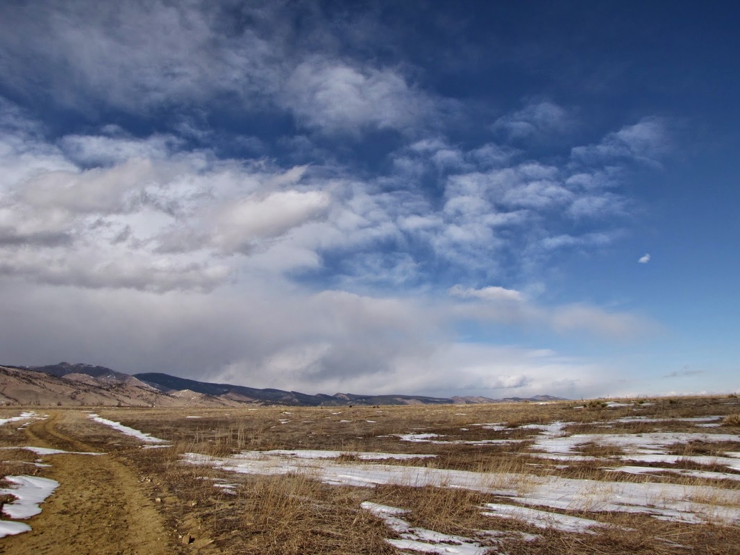
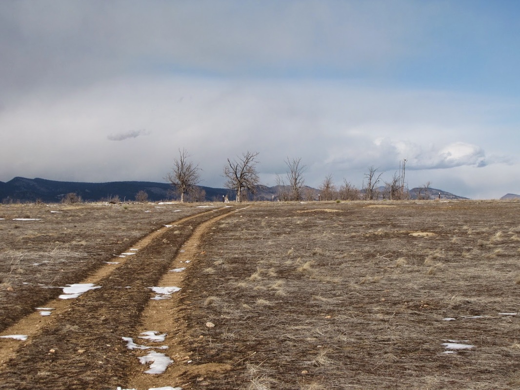
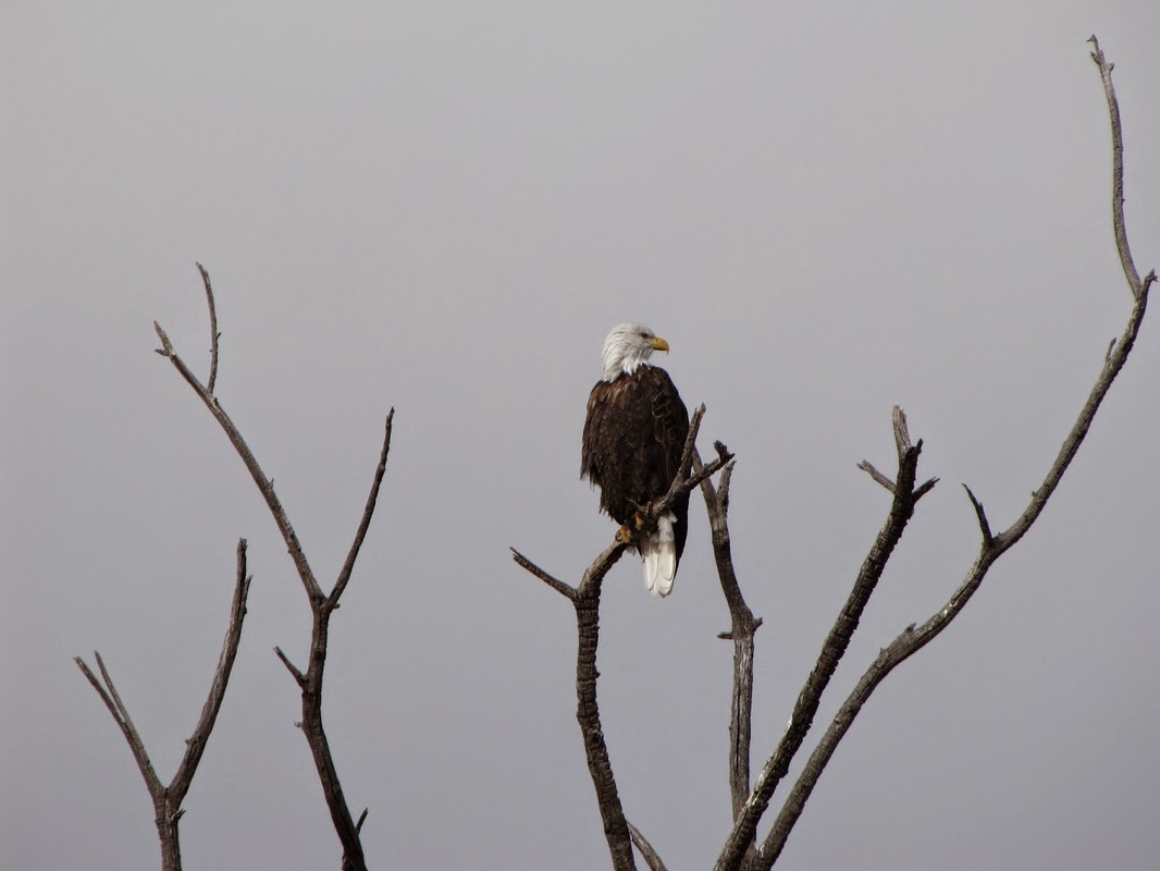
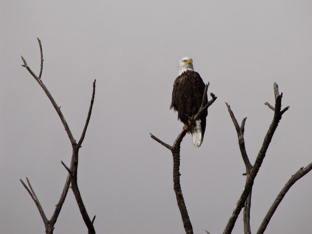
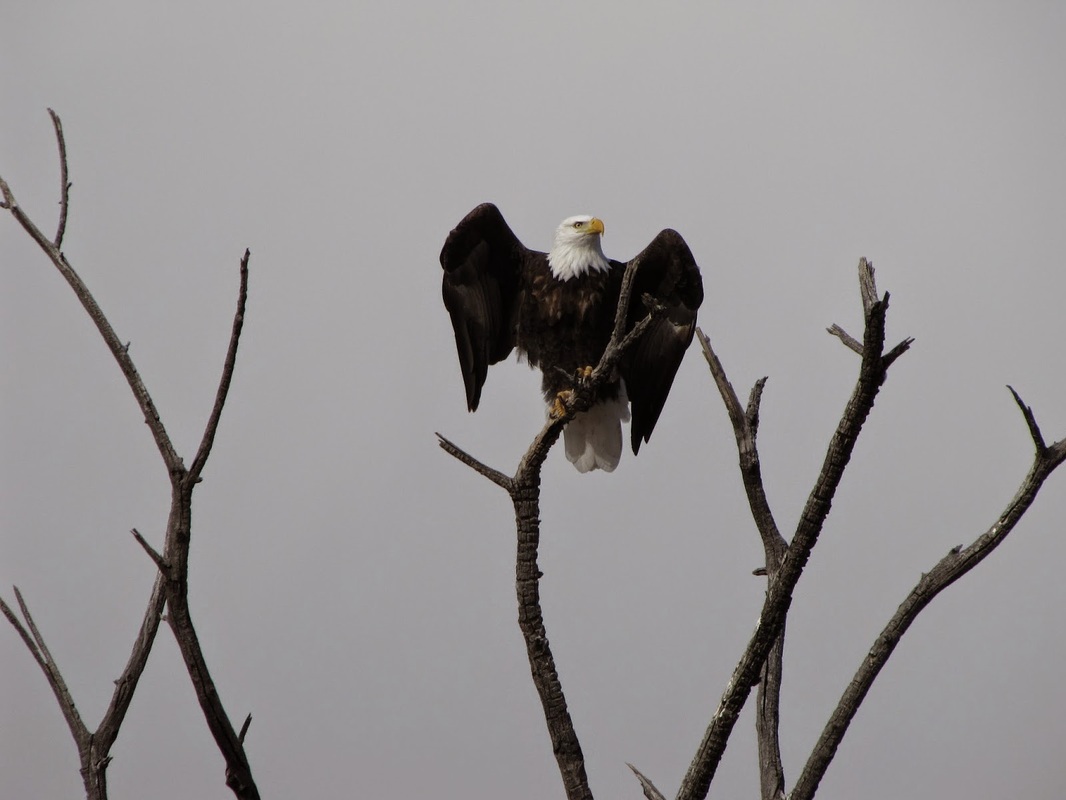
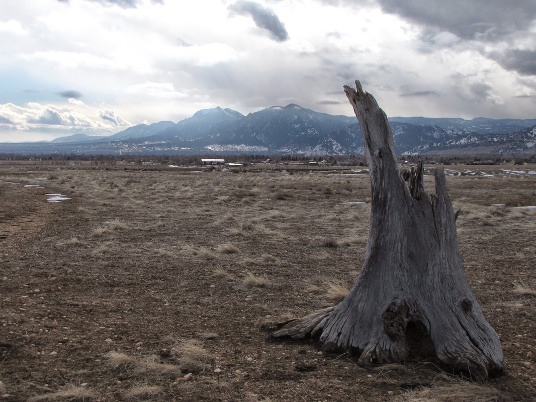
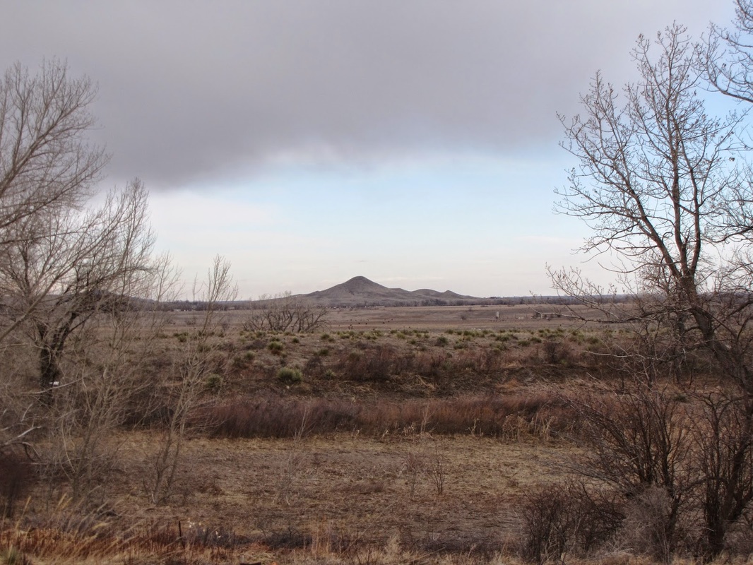
Papini Natural Area is an undeveloped piece of land owned by the City of Boulder.  There have been plans to develop this area as an open space park but I don’t believe that has happened yet.  The area is accessed via an old dirt road, there are no other trails that I am aware of.  While I did not know it at the time, looking at maps has shown that continuing on this trail most likely connects to the trail system at Boulder Valley Ranch.

The natural area is a rather non-descript trail but there is a stark beauty to the open prairie and there are wonderful views of the Foothills west of Boulder.  About 1 mile from the trailhead is a stand of cottonwoods and this peaceful spot makes for a good turnaround point.
 
I stumbled across this area while I was bored and exploring on a cold rainy/snowy day.  Luckily, at the stand of Cottonwood Trees I happened upon a bald eagle perched up on a branch, he/she let me get pretty close and posed for some photos before flying away to another tree in the area.  It was an incredible experience and served as a reminder of just how special those open, seemingly barren, lands are for the Front Range Communities.
Powered by Create your own unique website with customizable templates.