
|
|
|
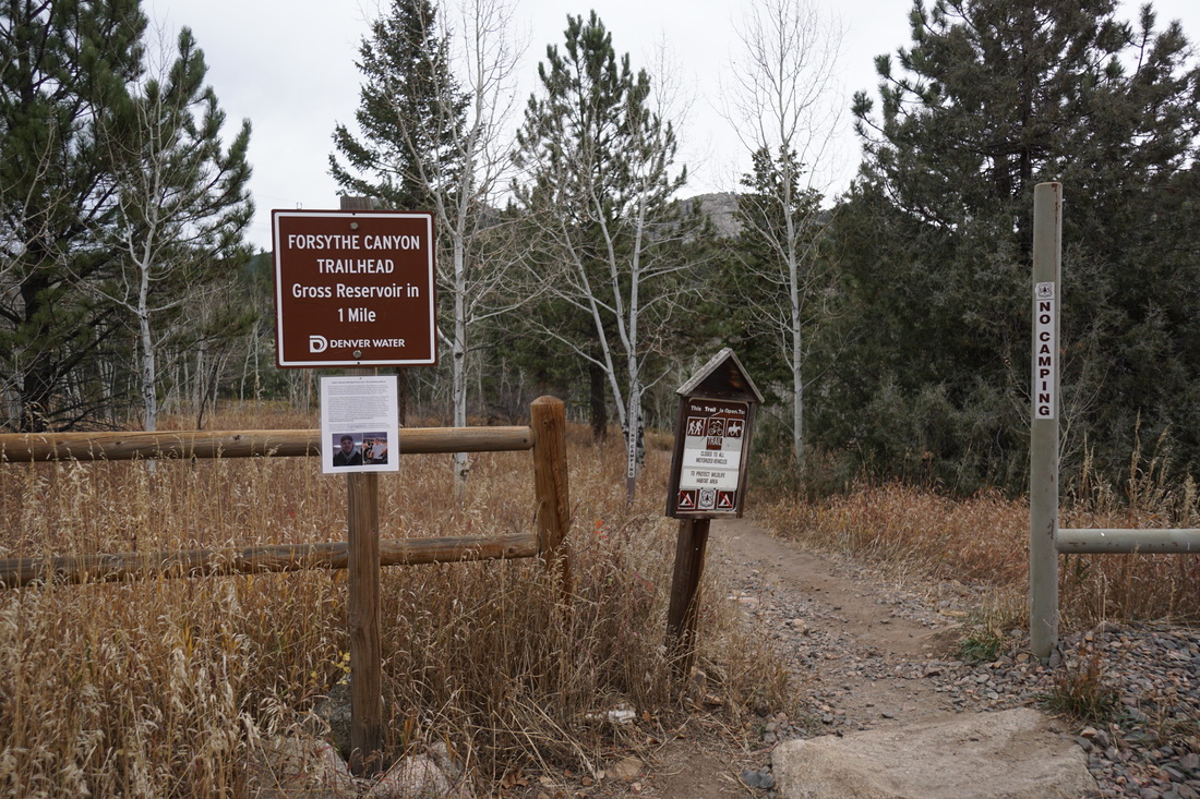
Directions: From Boulder, head west on 119 (Boulder Canyon Road) and turn left (south) onto Magnolia Road. Follow Magnolia Road for 6.5 miles (Magnolia road is paved for the first 3 miles and then turn into a good dirt road) to County Road 68. Turn left (east) on 68 and follow it for 2 miles to the Forsythe Canyon/Campground parking area and trailhead. 68 can get narrow and rocky but most vehicles should not have a problem making it to the trailhead.
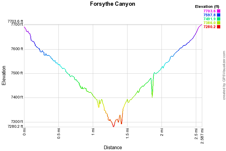
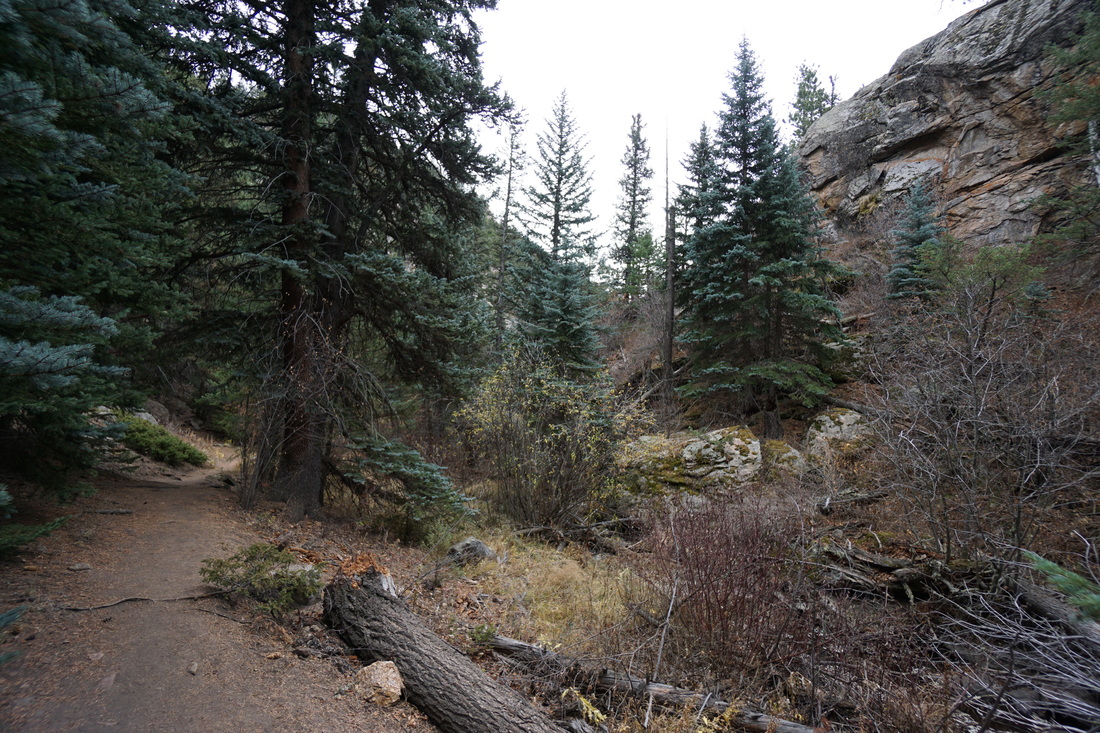
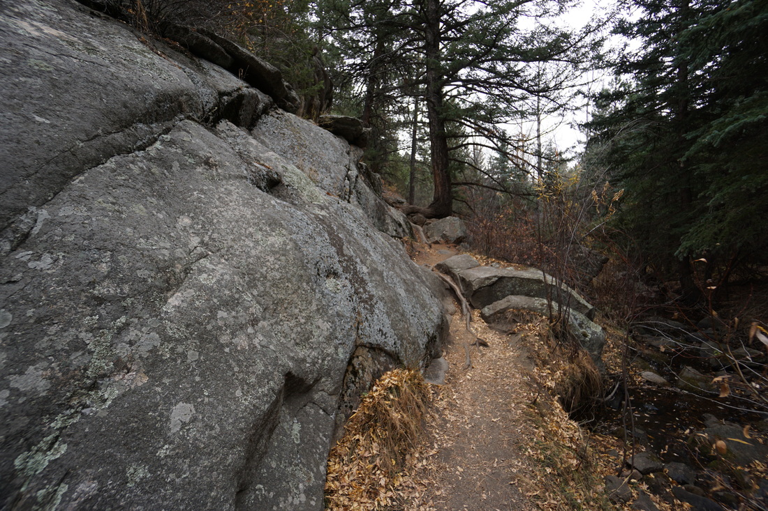
Forsythe Canyon is a nice easy to moderate hike through pine and aspen forest leading down to the rocky shores of Gross Reservoir. The trail has one difficult section where you need to do some easy scrambling over a rock wall. The trail is close to Boulder but does not get the overwhelming crowds that many Boulder area trails are known for.
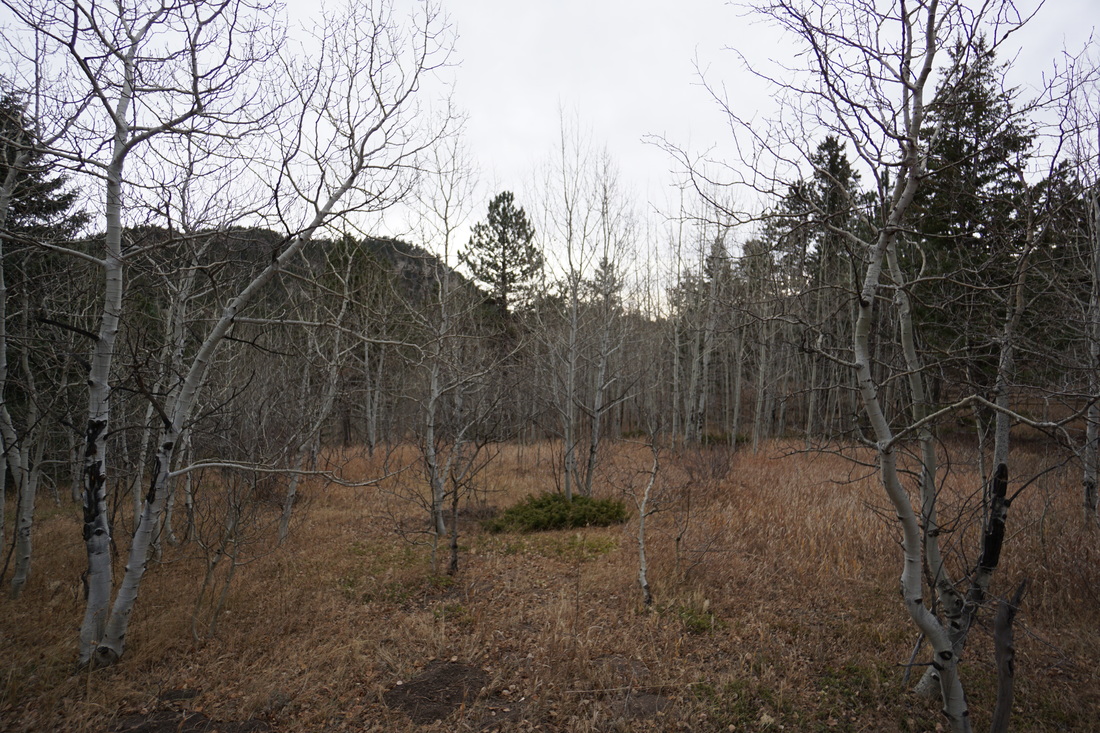
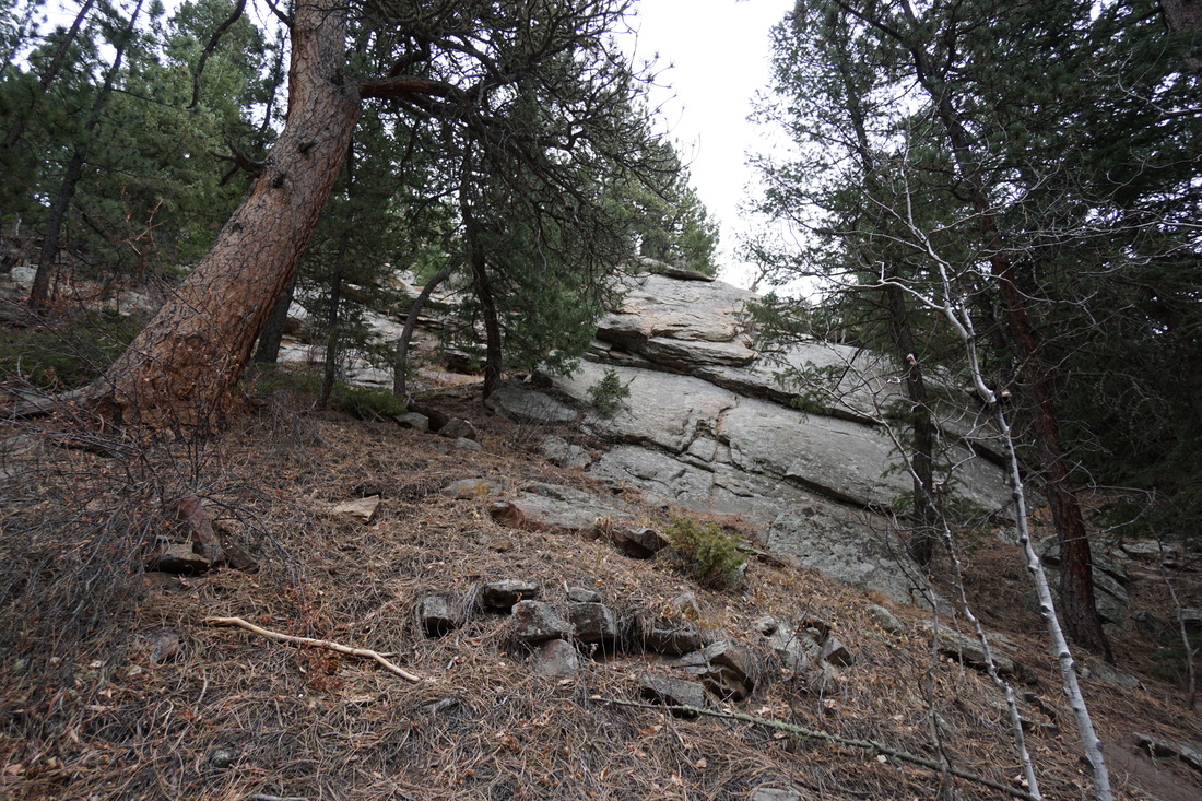
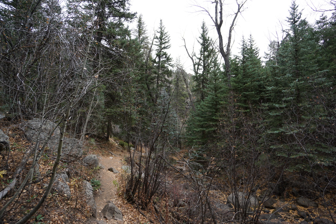
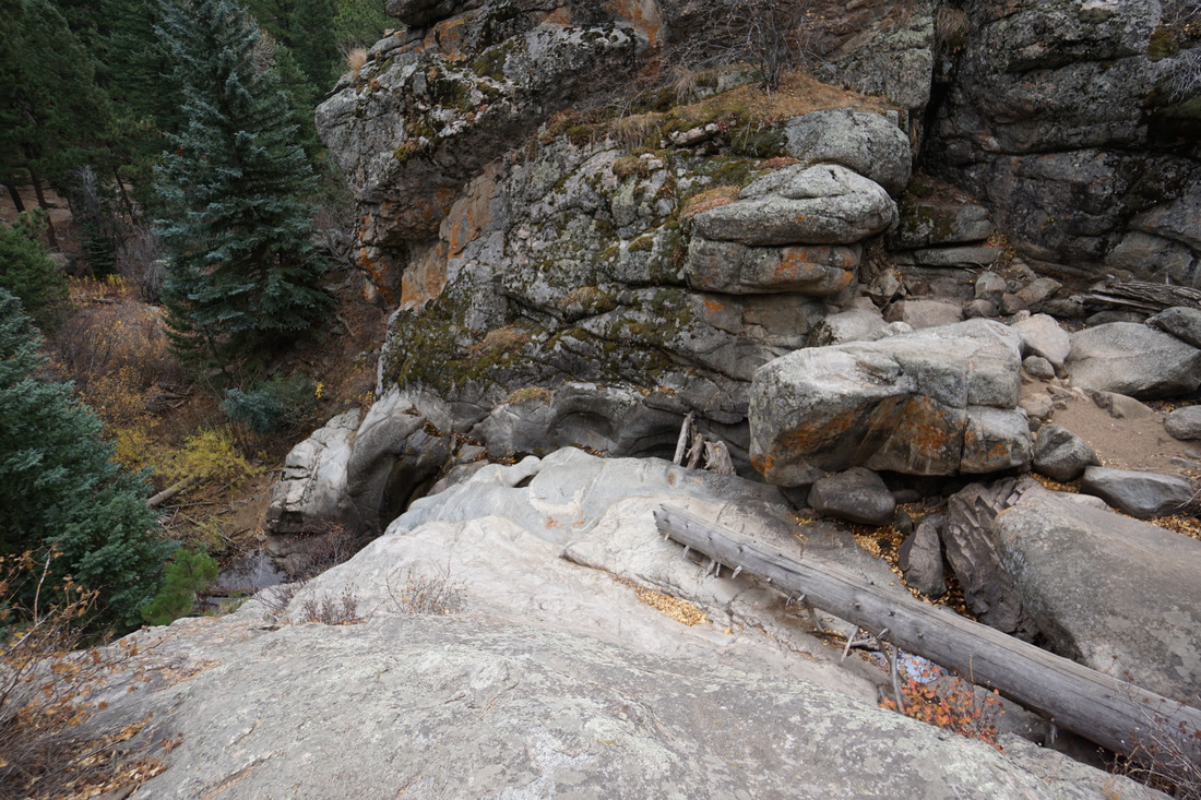
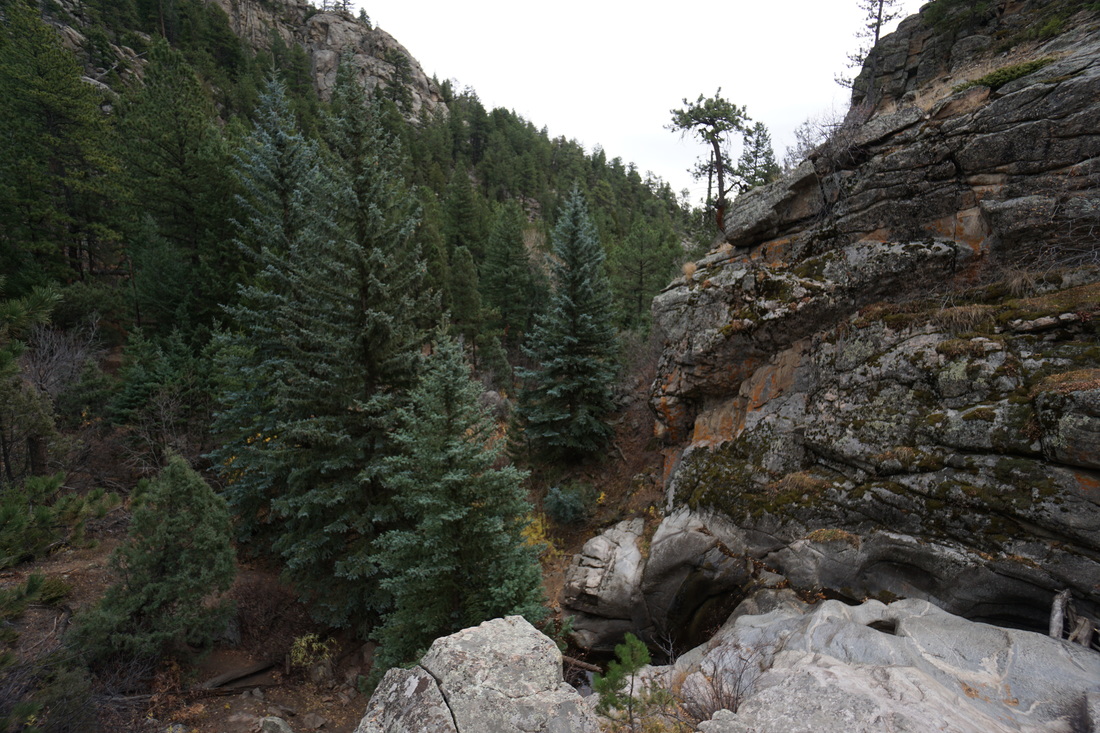
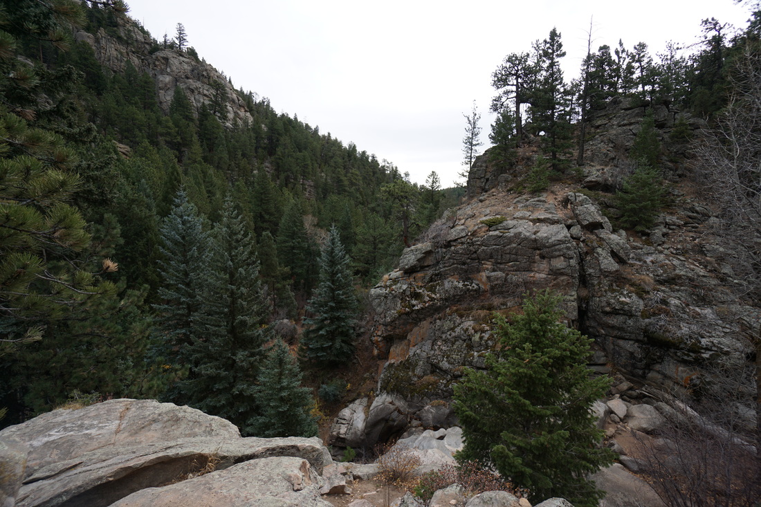
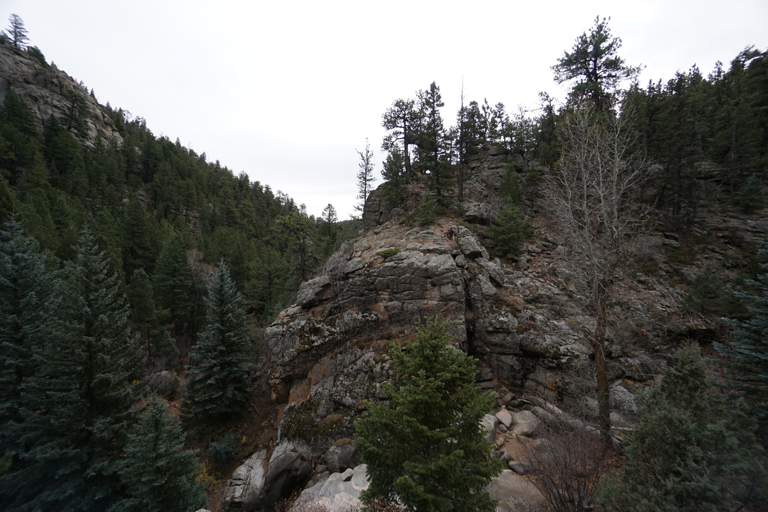
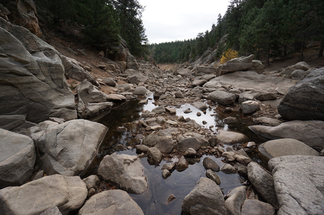
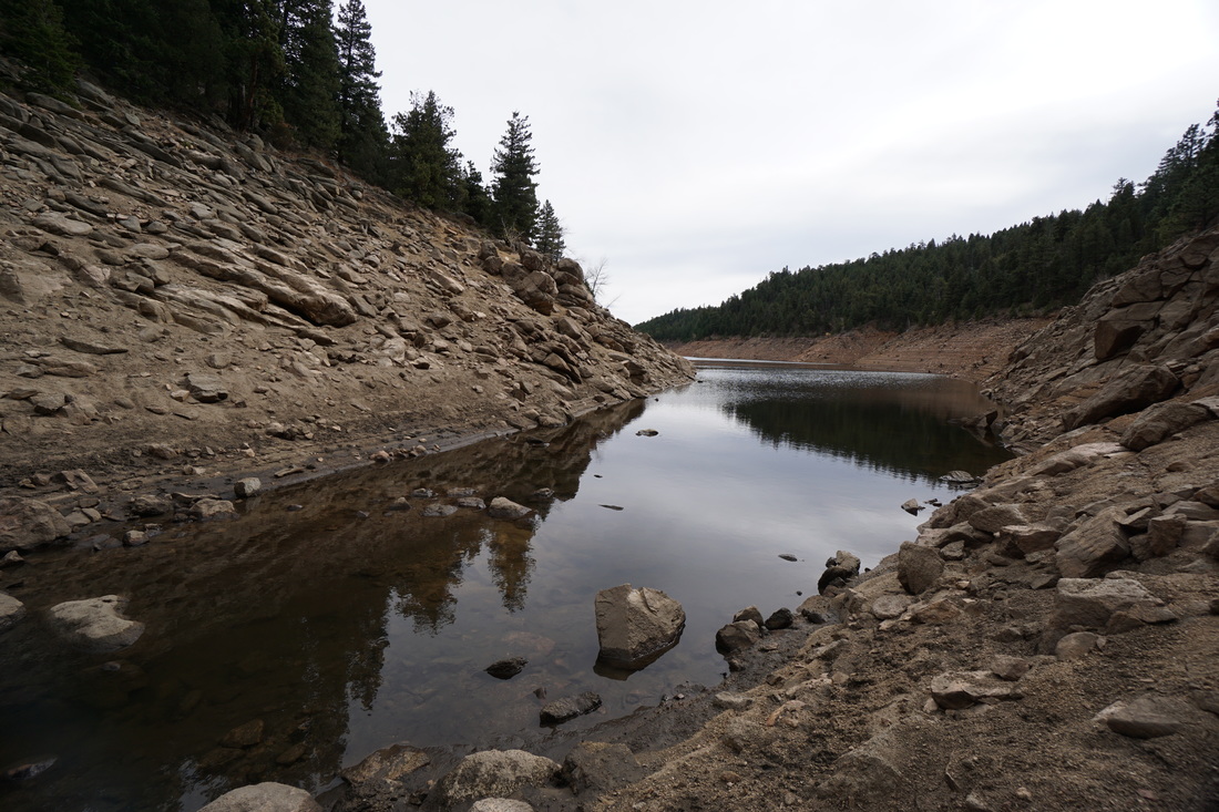
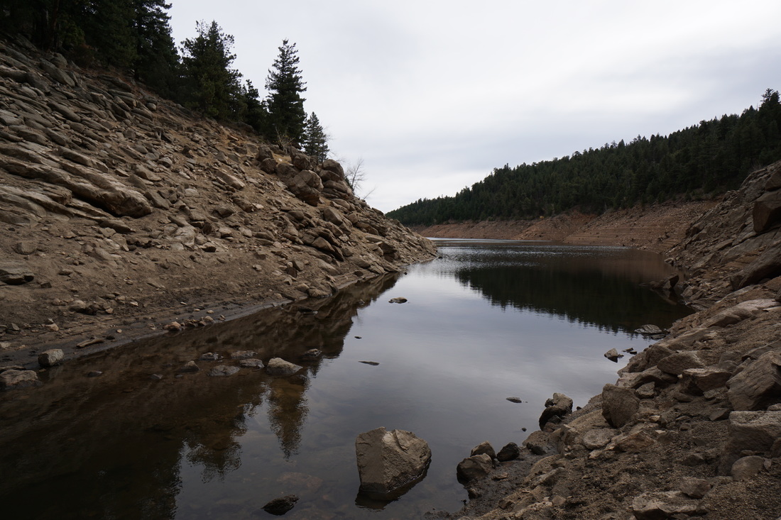
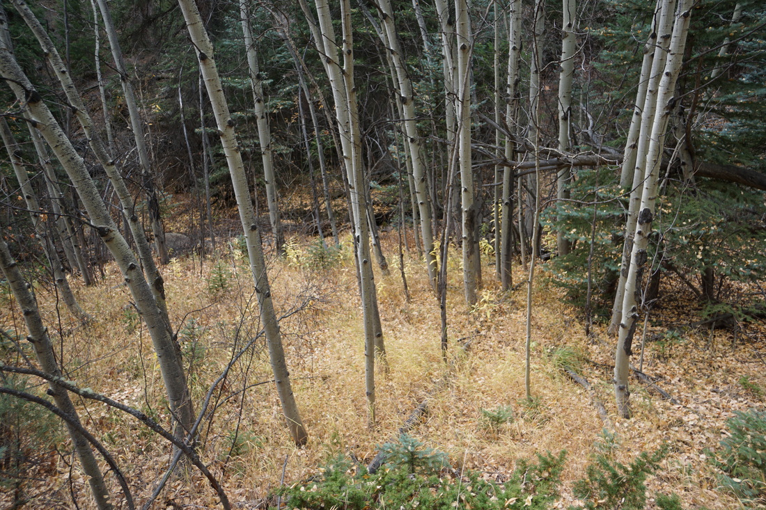
From the trailhead, switchback down through young aspen groves (should be nice in late September) and enter the pine forest. The trail gets rockier as you descend and the canyon walls get narrower as you near Gross Reservoir. The trail follows Forsythe Creek which forms small cascades and pleasant pools for relaxation along the way. The hike is easy enough until you reach a rocky overlook with a seasonal waterfall just before the final stretch to the Reservoir. The view of Forsythe Canyon is stunning but watch for the trail as it branches off to the left and climbs over the rocky wall. Scramble up and over and regain the trail down the other side. After a few more minutes you'll find yourself at Gross Reservoir. Depending on the time of year you hike this trail, you can explore the shores of the Reservoir for a little ways more by boulder hoping. In the early season the water levels are higher and the trail simply stops at the shore. The return hike is uphill but follows the same trail back to the parking area. |
               |
