GO HIKE COLORADO
Get in Touch:
  • HOME
  • ABOUT
  • HIKES BY REGION
    • DENVER AREA >
      • Denver Mountain Parks
      • Jefferson County Open Space
      • Lakewood Parks
      • Denver Area Greenways
    • BOULDER AREA
    • DOUGLAS COUNTY
    • FORT COLLINS AREA
    • COLORADO SPRINGS AREA
    • FRONT RANGE
    • TENMILE & MOSQUITO RANGES
    • GORE RANGE
    • SANGRE DE CRISTO MOUNTAINS
    • PARK RANGE
    • SAWATCH RANGE
    • ELK MOUNTAINS
    • SAN JUAN MOUNTAINS
    • THE FLAT TOPS
    • GRAND MESA
    • COLORADO PLATEAU
    • EASTERN PLAINS
  • NATIONAL PARK HIKES
    • BENT'S OLD FORT NATIONAL HISTORIC SITE
    • BLACK CANYON OF THE GUNNISON NATIONAL PARK
    • COLORADO NATIONAL MONUMENT
    • CURECANTI NATIONAL RECREATION AREA
    • DINOSAUR NATIONAL MONUMENT
    • FLORISSANT FOSSIL BEDS NATIONAL MONUMENT
    • MESA VERDE NATIONAL PARK
    • ROCKY MOUNTAIN NATIONAL PARK
    • GREAT SAND DUNES NATIONAL PARK
    • HOVENWEEP NATIONAL MONUMENT
    • SAND CREEK MASSACRE NATIONAL HISTORIC SITE
    • YUCCA HOUSE NATIONAL MONUMENT
  • HIKES BY CATEGORY
    • HIKES TO ALPINE LAKES
    • HIKES TO PEAKS & PASSES
    • HIKES THROUGH CANYONS
    • HIKES WITH FALL COLORS
    • HIKES ALONG THE I-70 CORRIDOR
    • HIKES ON PAVED TRAILS
    • HIKES FOR KIDS
    • HIKES TO WATERFALLS
    • HIKES ALONG RIVERS
    • HIKES WITH ROCK FORMATIONS
    • HIKES WITH WILDFLOWERS
    • WINTER HIKES
  • NEWS
  • WEBCAMS
  • $UPPORT GHC
  • INTERACTIVE MAP

Dry Creek Trail
Boulder Open Space & Mountain Parks

Date Hiked: January 30, 2016

Distance: 1.8 mi (RT)
Elevation Gain: 111ft
Elevation Min/Max: 5,283 to 5,339ft
Trailhead Lat/Long: 39º 59' 59" N; 105º 11' 28" W
Managing Agency: City of Boulder OSMP
Fee: None

Dry Creek Trailhead Webpage
Picture

From Boulder, take US 36 southeast to the Foothills Parkway Exit. Head north on Foothills Parkway and turn east on Baseline Road.  At Cherryvale Road, turn north then a quick turn east to stay on Baseline Road.  Just after passing the Reservoir off to the right, turn right into the Dry Creek Trailhead Parking Area.

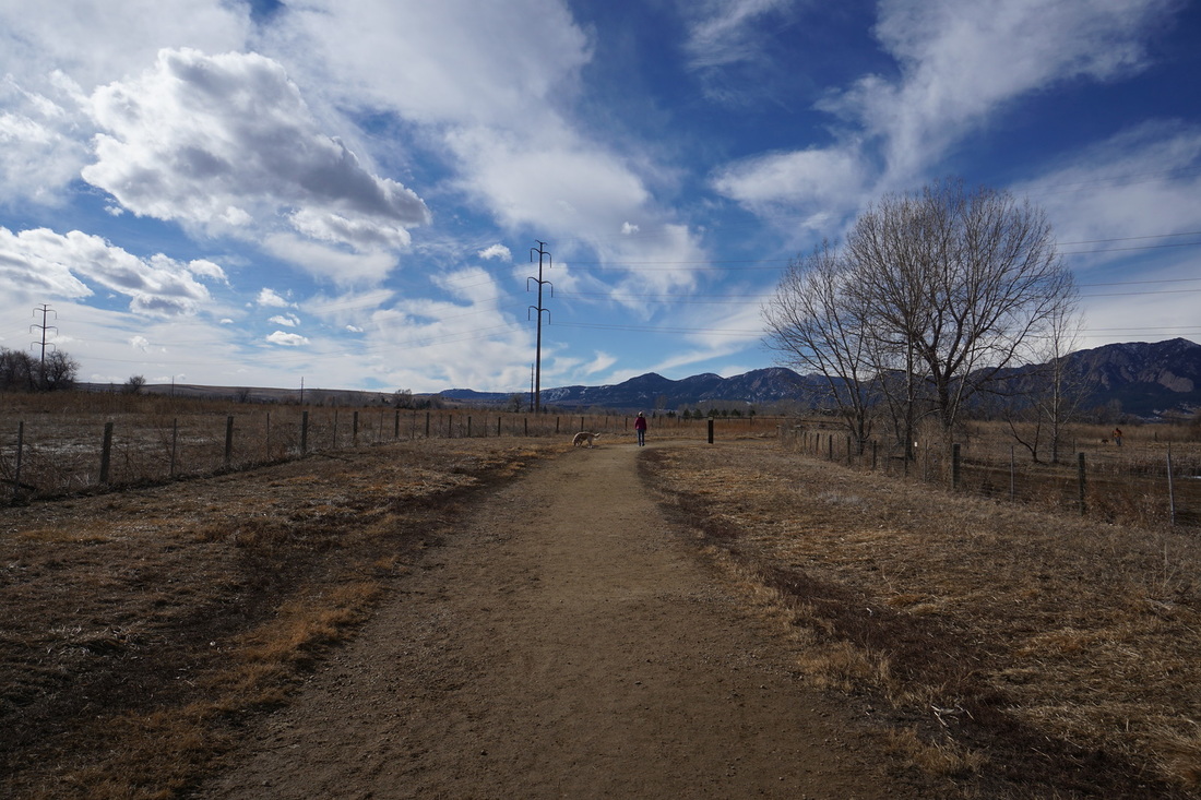
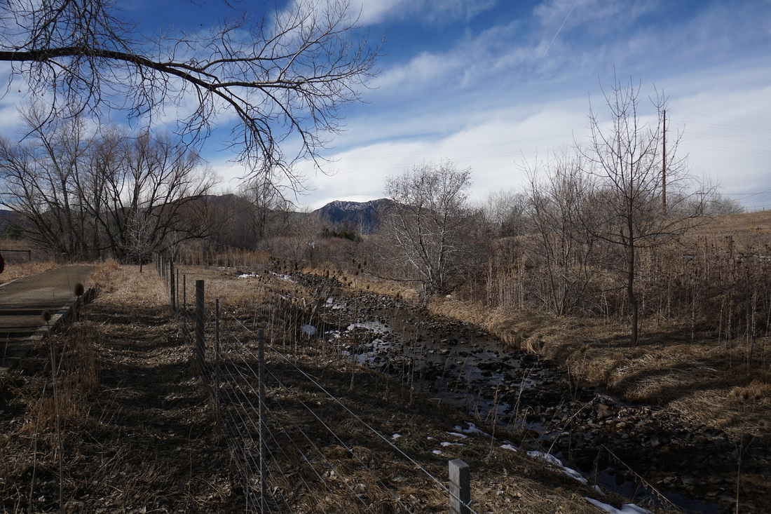
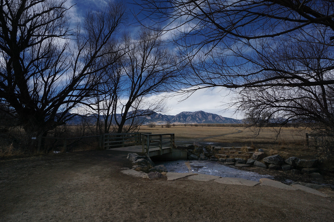
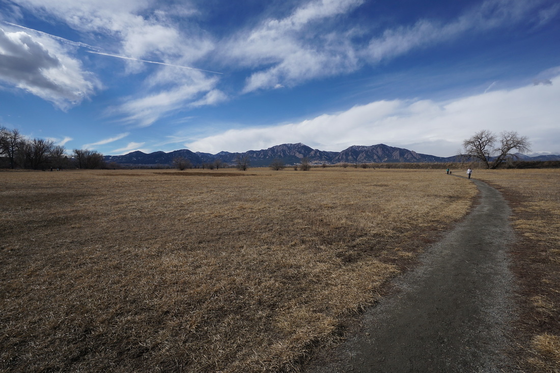
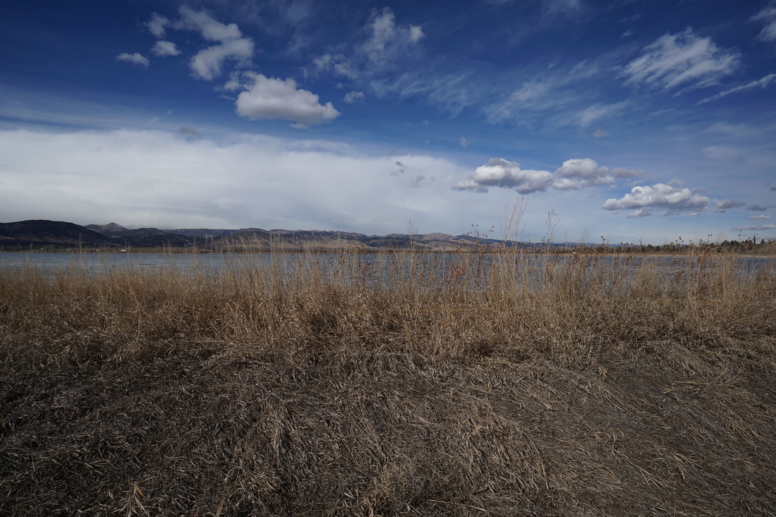
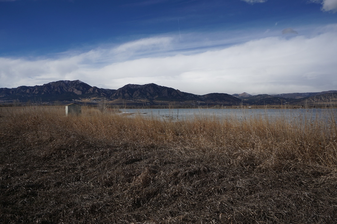
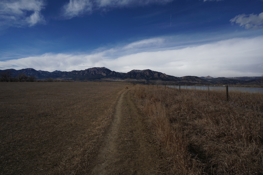
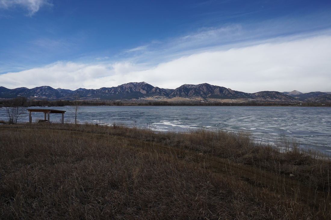
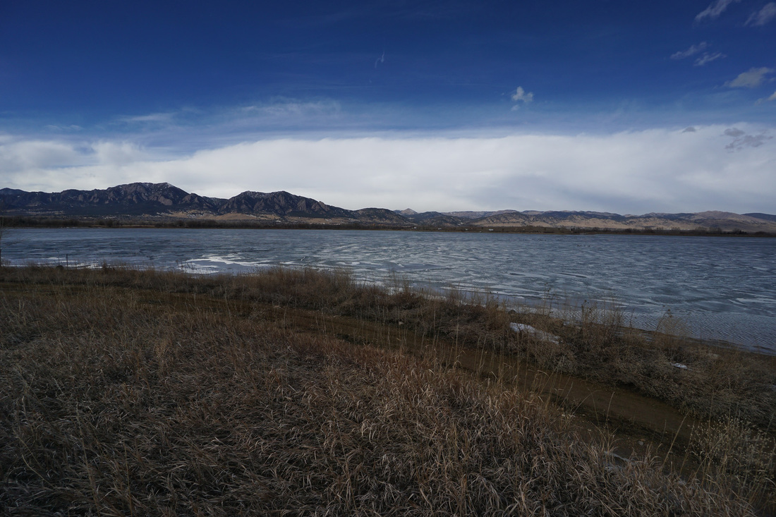
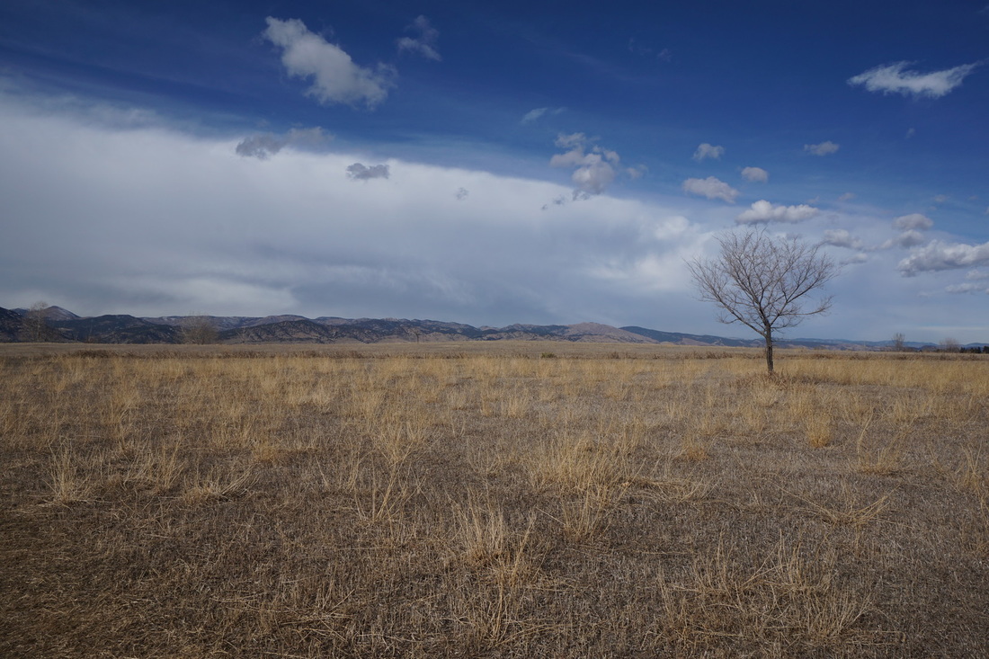
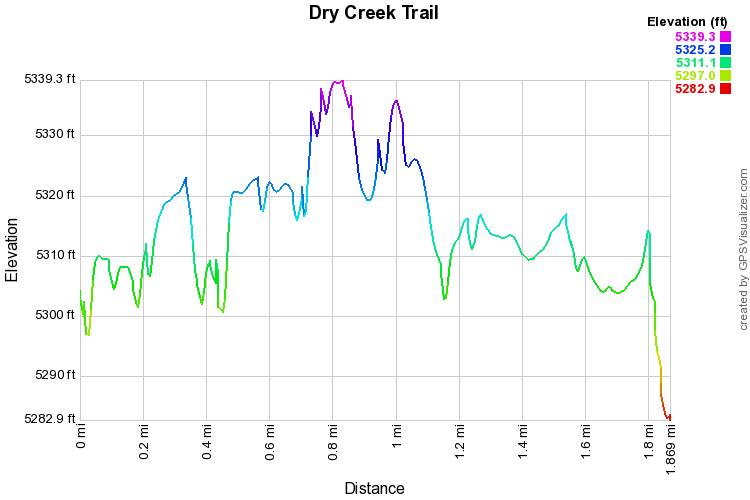
The Dry Creek Trail is a quick and easy walk along the plains east of Boulder.  The trail is great for dogs and kids and anyone looking for a quick stretch of the legs.  The highlight of the hike is the view of the Boulder foothills beyond Baseline Reservoir.  Unfortunately, you can not access Baseline Reservoir from the Dry Creek Trail, but you can get close enough to enjoy the view.  


    Any comments or insight on this hike? Please leave a comment below.

Submit
© Go Hike Colorado, 2020.  All Rights Reserved. 
Use of photographs without prior authorization is
​strictly prohibited.


Contact us at:
[email protected]
Legal Disclaimer - Information provided on this site is based upon our own observations, always double check information with the appropriate land management agency before heading into the backcountry.  Backcountry travel is inherently dangerous, please take all proper precautions.  Go Hike Colorado is not responsible for injury or incident.