GO HIKE COLORADO
Get in Touch:
  • HOME
  • ABOUT
  • HIKES BY REGION
    • DENVER AREA >
      • Denver Mountain Parks
      • Jefferson County Open Space
      • Lakewood Parks
      • Denver Area Greenways
    • BOULDER AREA
    • DOUGLAS COUNTY
    • FORT COLLINS AREA
    • COLORADO SPRINGS AREA
    • FRONT RANGE
    • TENMILE & MOSQUITO RANGES
    • GORE RANGE
    • SANGRE DE CRISTO MOUNTAINS
    • PARK RANGE
    • SAWATCH RANGE
    • ELK MOUNTAINS
    • SAN JUAN MOUNTAINS
    • THE FLAT TOPS
    • GRAND MESA
    • COLORADO PLATEAU
    • EASTERN PLAINS
  • NATIONAL PARK HIKES
    • BENT'S OLD FORT NATIONAL HISTORIC SITE
    • BLACK CANYON OF THE GUNNISON NATIONAL PARK
    • COLORADO NATIONAL MONUMENT
    • CURECANTI NATIONAL RECREATION AREA
    • DINOSAUR NATIONAL MONUMENT
    • FLORISSANT FOSSIL BEDS NATIONAL MONUMENT
    • MESA VERDE NATIONAL PARK
    • ROCKY MOUNTAIN NATIONAL PARK
    • GREAT SAND DUNES NATIONAL PARK
    • HOVENWEEP NATIONAL MONUMENT
    • SAND CREEK MASSACRE NATIONAL HISTORIC SITE
    • YUCCA HOUSE NATIONAL MONUMENT
  • HIKES BY CATEGORY
    • HIKES TO ALPINE LAKES
    • HIKES TO PEAKS & PASSES
    • HIKES THROUGH CANYONS
    • HIKES WITH FALL COLORS
    • HIKES ALONG THE I-70 CORRIDOR
    • HIKES ON PAVED TRAILS
    • HIKES FOR KIDS
    • HIKES TO WATERFALLS
    • HIKES ALONG RIVERS
    • HIKES WITH ROCK FORMATIONS
    • HIKES WITH WILDFLOWERS
    • WINTER HIKES
  • NEWS
  • WEBCAMS
  • $UPPORT GHC
  • INTERACTIVE MAP

South Boulder Creek Access
​Gross Reservoir

Date Hiked: March 5, 2016

Distance: .3 mi (RT)
Elevation Gain: 115ft
Elevation Min/Max: 6,803 to 6,989ft
Trailhead Lat/Long: 39º 56' 21" N; 105º 20' 48" W
Managing Agency: Denver Water
Fee: None

Gross Reservoir Website

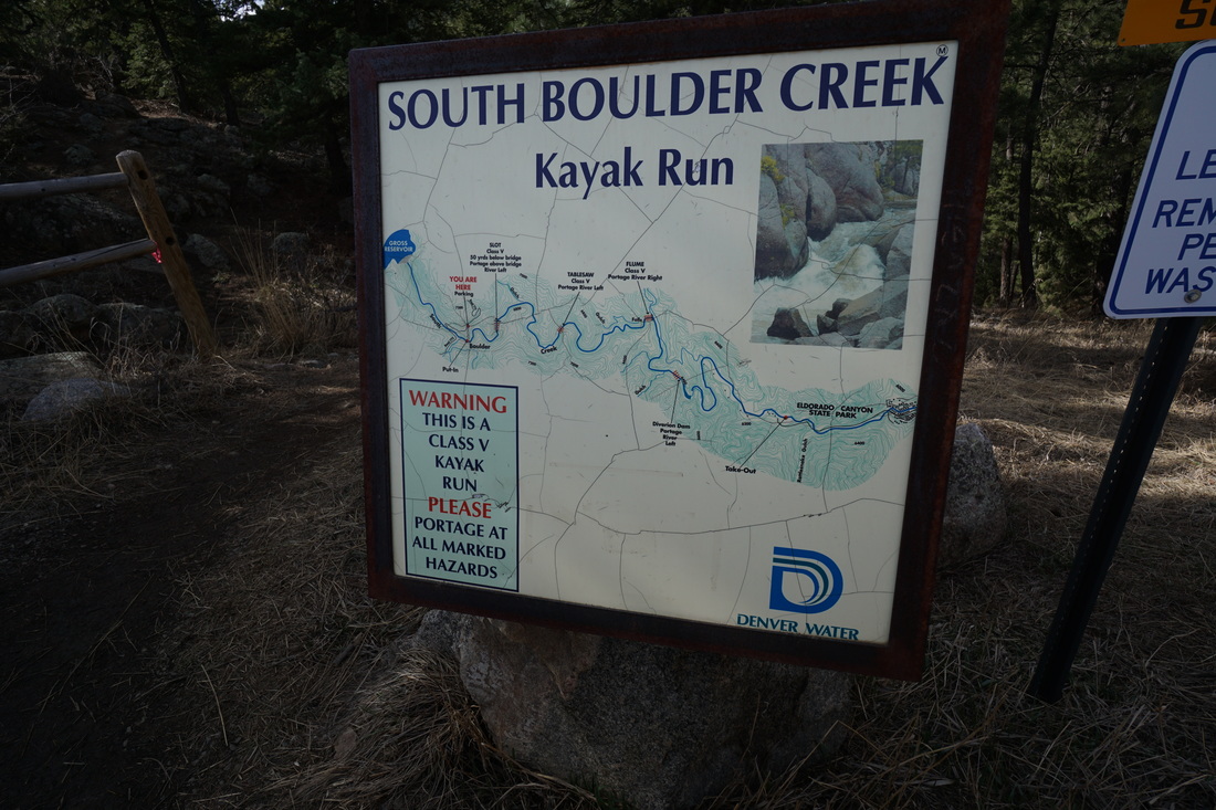
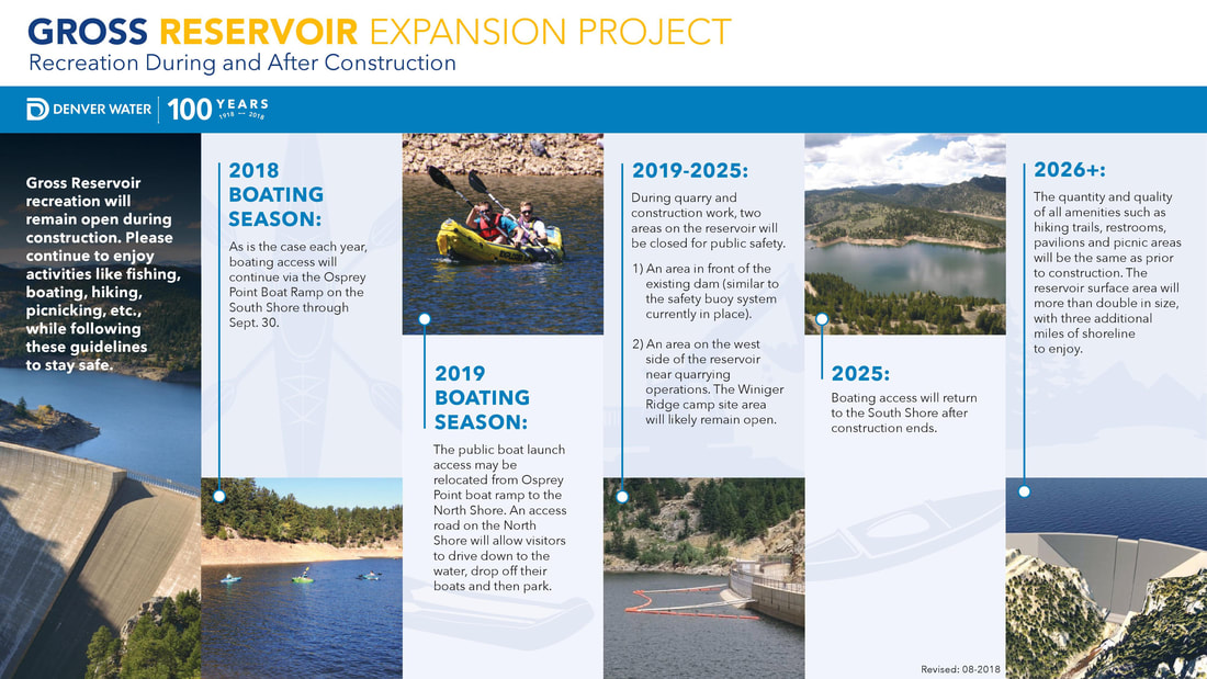
Please note that Gross Reservoir will be under going an expansion project that will impact recreational activities at Gross Reservoir this season and beyond. While the reservoir will remain open throughout construction, there will be some changes and areas that are temporarily closed. Please see the Gross Reservoir website, linked above, or the info graphic below for the anticipated schedule and impacts.
Picture

Picture

Directions:  From Boulder, take Flagstaff Road west until it turns into Gross Dam Road.  Follow Gross Dam Road to the North Shore Parking area but instead of turning right into the parking lot, turn left and follow the good dirt road through the park for about 2 miles to the South Boulder Trailhead.  From Denver, take I-70 W to 93 North.  Turn West on Hwy 72 to Gross Dam Road.  Follow Gross Dam Road down towards the reservoir, when you see the park sign and map, turn right and head uphill, on your way up the South Boulder Trailhead will be on your right. 

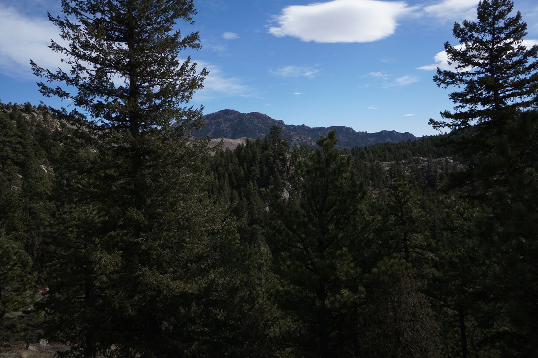
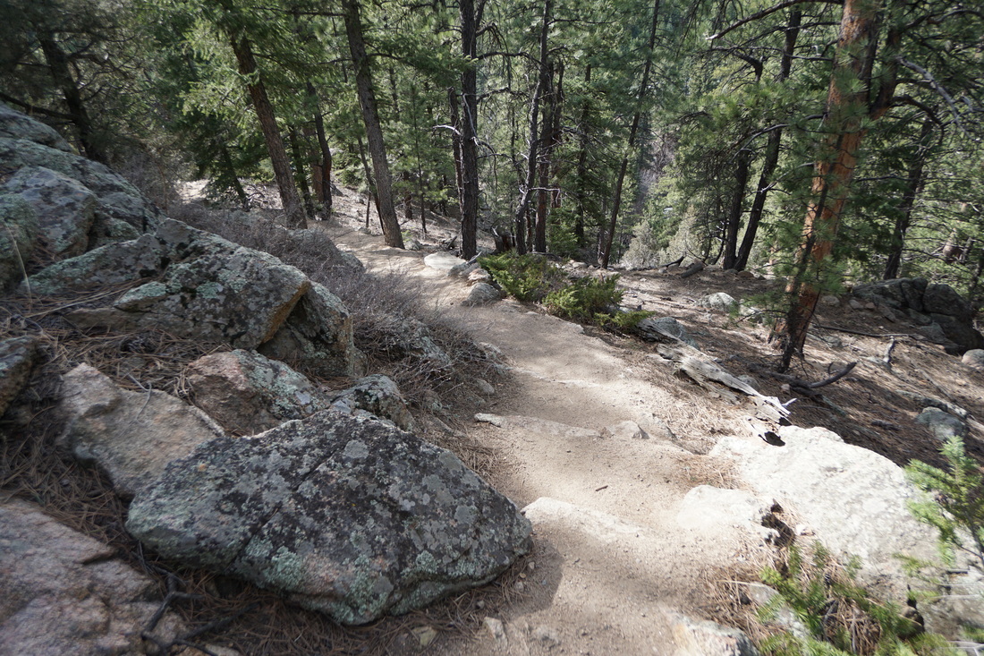
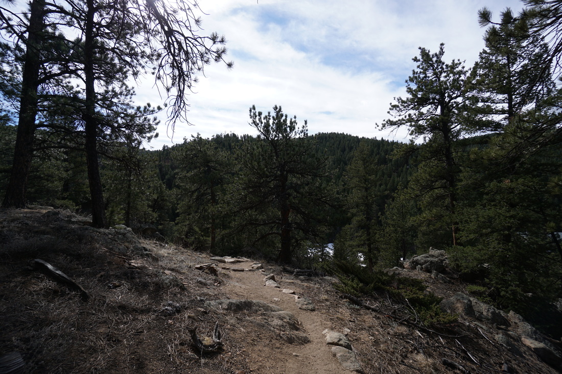
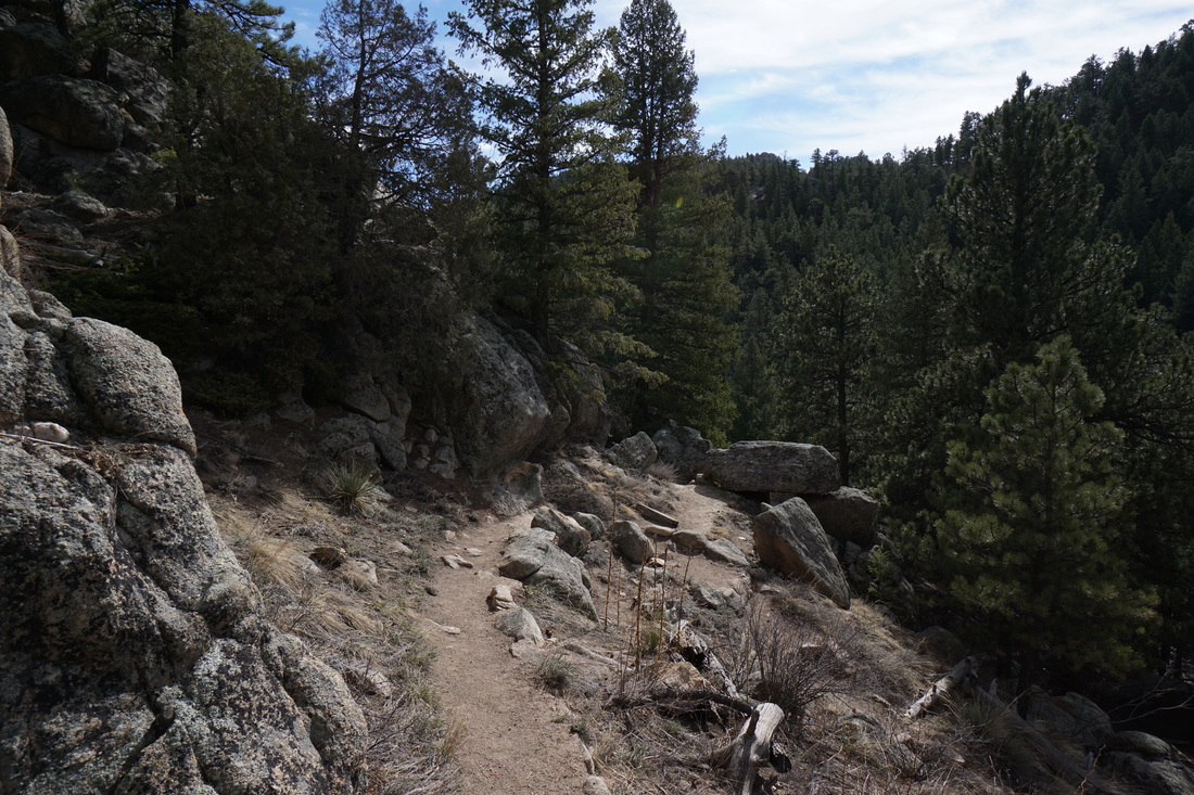
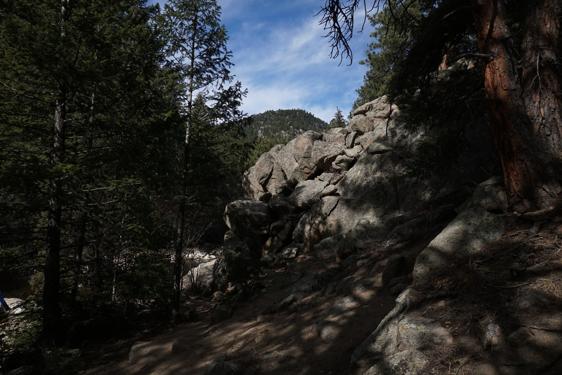
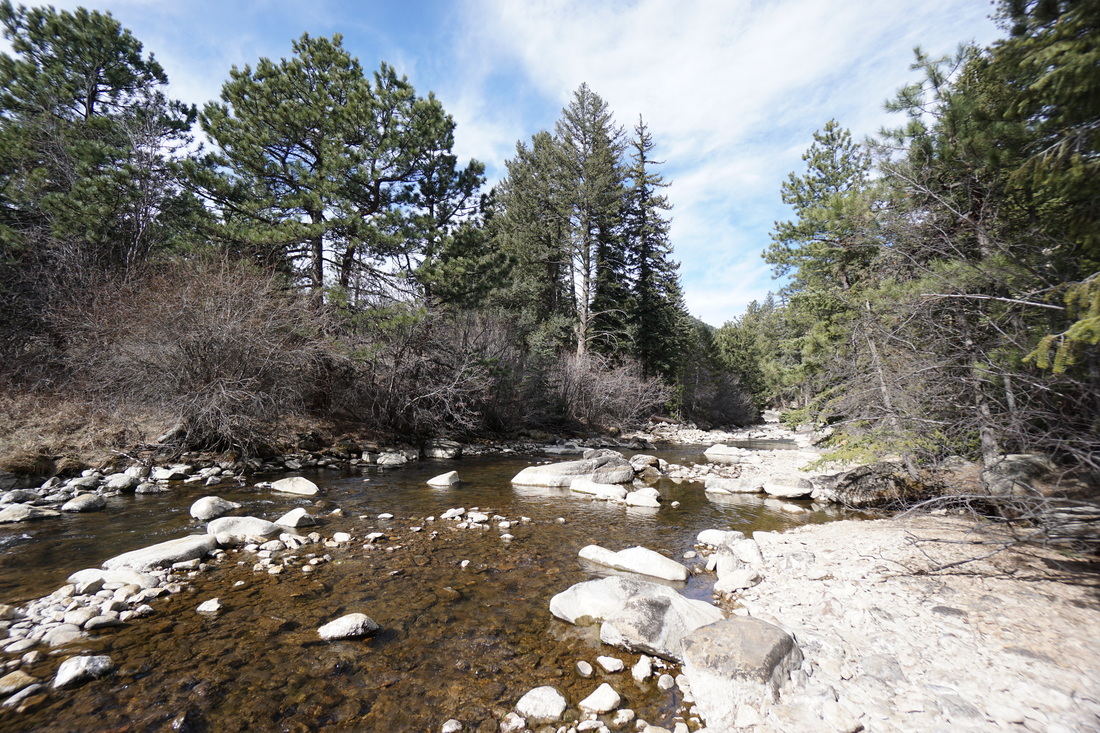
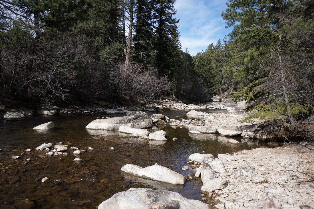
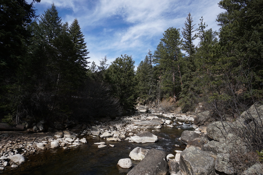
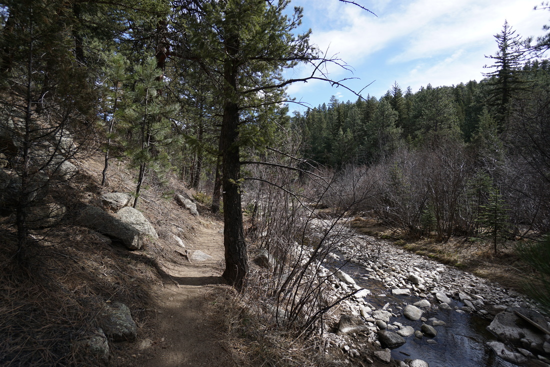
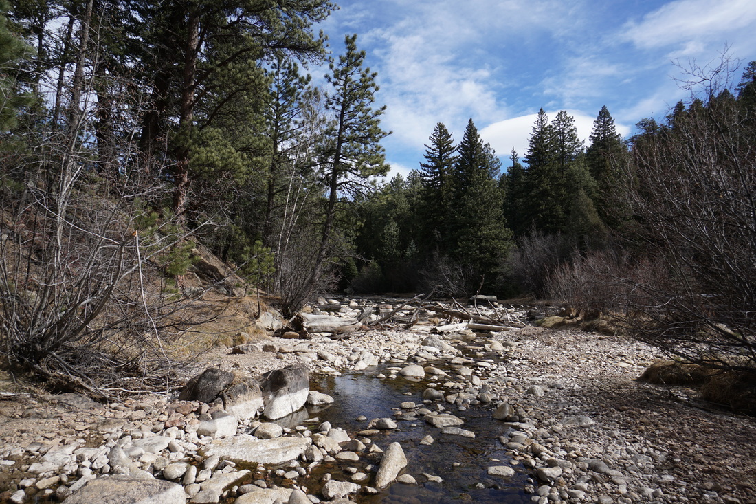
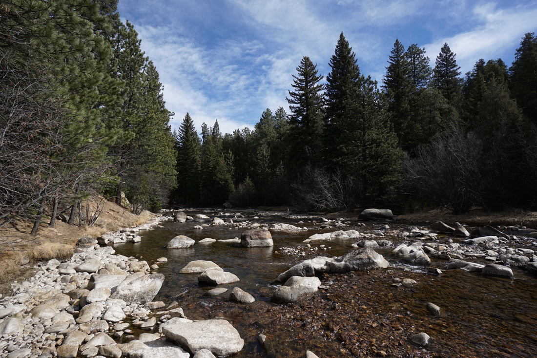
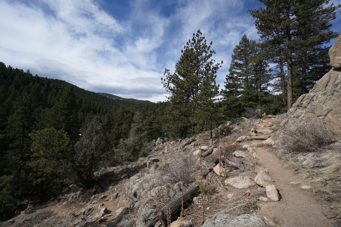
Gross Reservoir’s South Boulder Creek Trail is mainly for fishing access.  However, it is also a nice quick way to walk along the serene shores of South Boulder Creek.  The trail from the parking area switchbacks down to the river, somewhat steeply.  When you reach South Boulder Creek, you can turn right and follow the creek upstream until you see the no trespassing sign, or turn left and follow the creek downstream for a longer walk.  We haven’t followed this trail as far as it goes, but there is plenty of trail to stretch your legs and find a quiet creekside place to relax or fish. 
​
When you’re done relaxing follow the trail back up to the parking area.  Be sure to stop and explore some of the rock outcroppings for nice views and fun rock scrambling.  
Powered by Create your own unique website with customizable templates.