GO HIKE COLORADO
Get in Touch:
  • HOME
  • ABOUT
  • HIKES BY REGION
    • DENVER AREA >
      • Denver Mountain Parks
      • Jefferson County Open Space
      • Lakewood Parks
      • Denver Area Greenways
    • BOULDER AREA
    • DOUGLAS COUNTY
    • FORT COLLINS AREA
    • COLORADO SPRINGS AREA
    • FRONT RANGE
    • TENMILE & MOSQUITO RANGES
    • GORE RANGE
    • SANGRE DE CRISTO MOUNTAINS
    • PARK RANGE
    • SAWATCH RANGE
    • ELK MOUNTAINS
    • SAN JUAN MOUNTAINS
    • THE FLAT TOPS
    • GRAND MESA
    • COLORADO PLATEAU
    • EASTERN PLAINS
  • NATIONAL PARK HIKES
    • BENT'S OLD FORT NATIONAL HISTORIC SITE
    • BLACK CANYON OF THE GUNNISON NATIONAL PARK
    • COLORADO NATIONAL MONUMENT
    • CURECANTI NATIONAL RECREATION AREA
    • DINOSAUR NATIONAL MONUMENT
    • FLORISSANT FOSSIL BEDS NATIONAL MONUMENT
    • MESA VERDE NATIONAL PARK
    • ROCKY MOUNTAIN NATIONAL PARK
    • GREAT SAND DUNES NATIONAL PARK
    • HOVENWEEP NATIONAL MONUMENT
    • SAND CREEK MASSACRE NATIONAL HISTORIC SITE
    • YUCCA HOUSE NATIONAL MONUMENT
  • HIKES BY CATEGORY
    • HIKES TO ALPINE LAKES
    • HIKES TO PEAKS & PASSES
    • HIKES THROUGH CANYONS
    • HIKES WITH FALL COLORS
    • HIKES ALONG THE I-70 CORRIDOR
    • HIKES ON PAVED TRAILS
    • HIKES FOR KIDS
    • HIKES TO WATERFALLS
    • HIKES ALONG RIVERS
    • HIKES WITH ROCK FORMATIONS
    • HIKES WITH WILDFLOWERS
    • WINTER HIKES
  • NEWS
  • WEBCAMS
  • $UPPORT GHC
  • INTERACTIVE MAP

South Boulder Creek Trail East
Hwy 93 to U.S 36

Date Hiked: October 12, 2015

Distance: 2.6 mi (RT)
Elevation Gain: 210 ft
Elevation Min/Max: 5,375 to 5,448ft
Trailhead Lat/Long: 39º 58' 05" N; 105º 14' 12" W
Managing Agency: City of Boulder Open Space & Mt. Parks
​Fee: None

City of Boulder OSMP Map
Picture

Directions:  From Boulder take Hwy 93 south and turn left (east) on Marshall Rd, then right onto Marshall Rd.  The trailhead is on the left and there are a few spaces for parking on both sides of the road.  

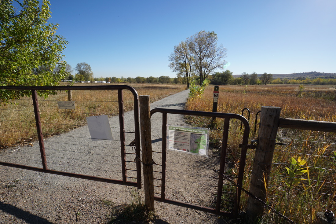
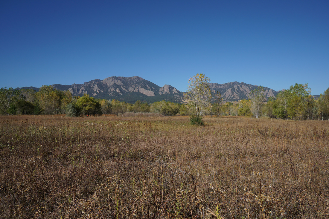
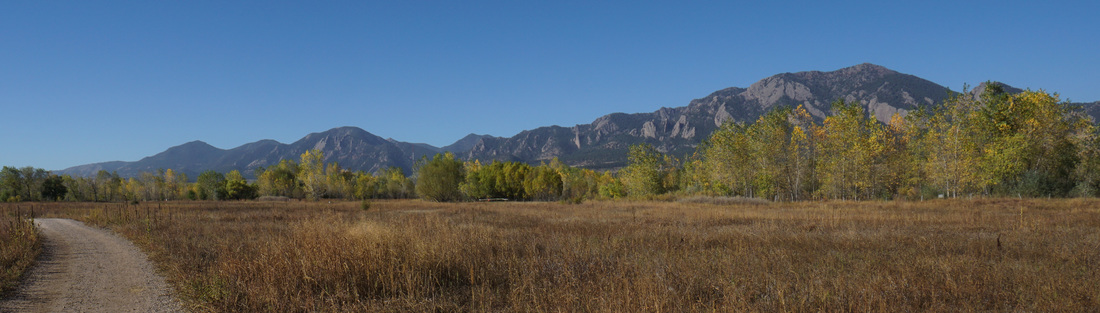
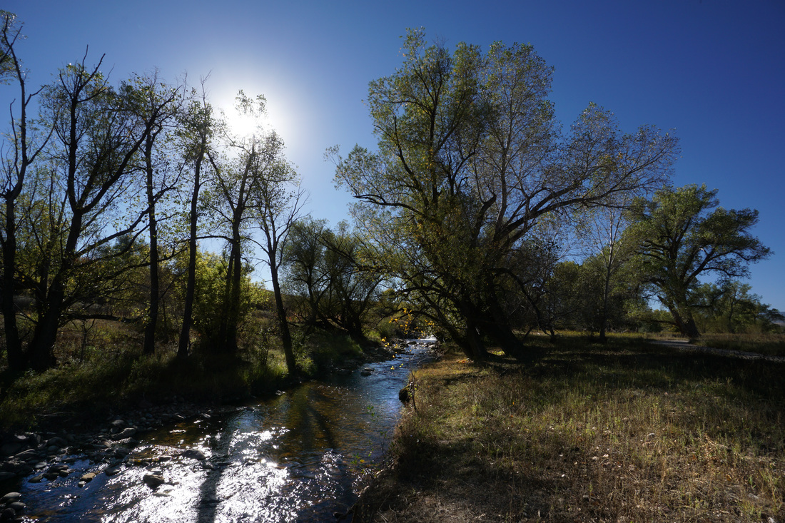
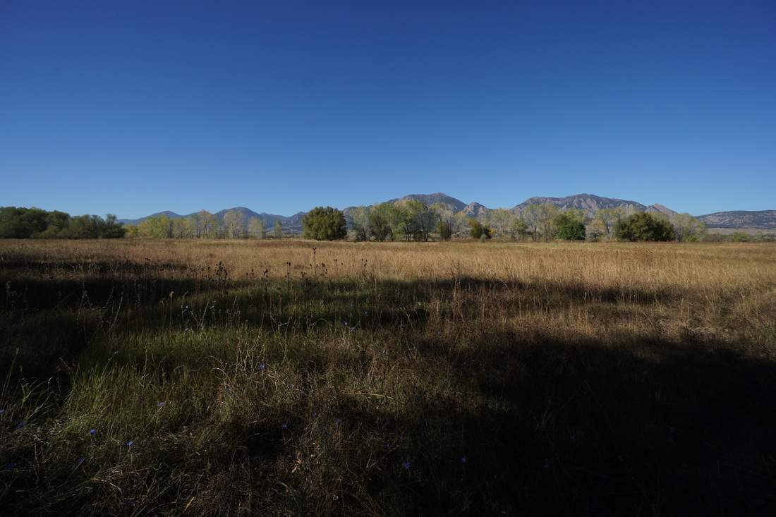
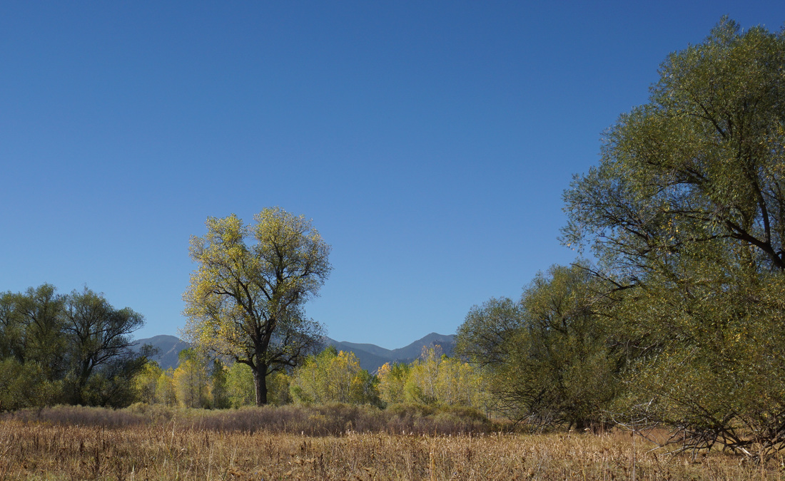
The South Boulder Creek Trail is a long trail leading from the plains southeast of Boulder all the way to the Boulder Foothills.  The most popular portion of this trail starts at Hwy 93 and leads west to the foothills.  However, the eastern portions are wonderful as well.  This hike starts from Marshall Road just off of Hwy 93 and heads east to U.S 36.  

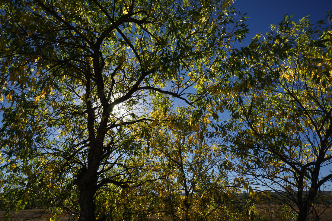
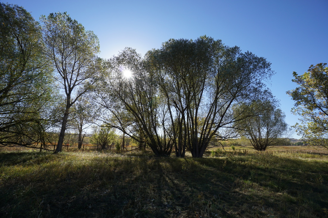
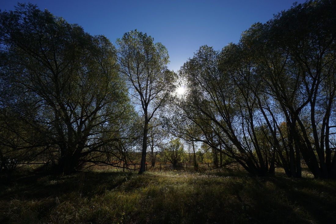
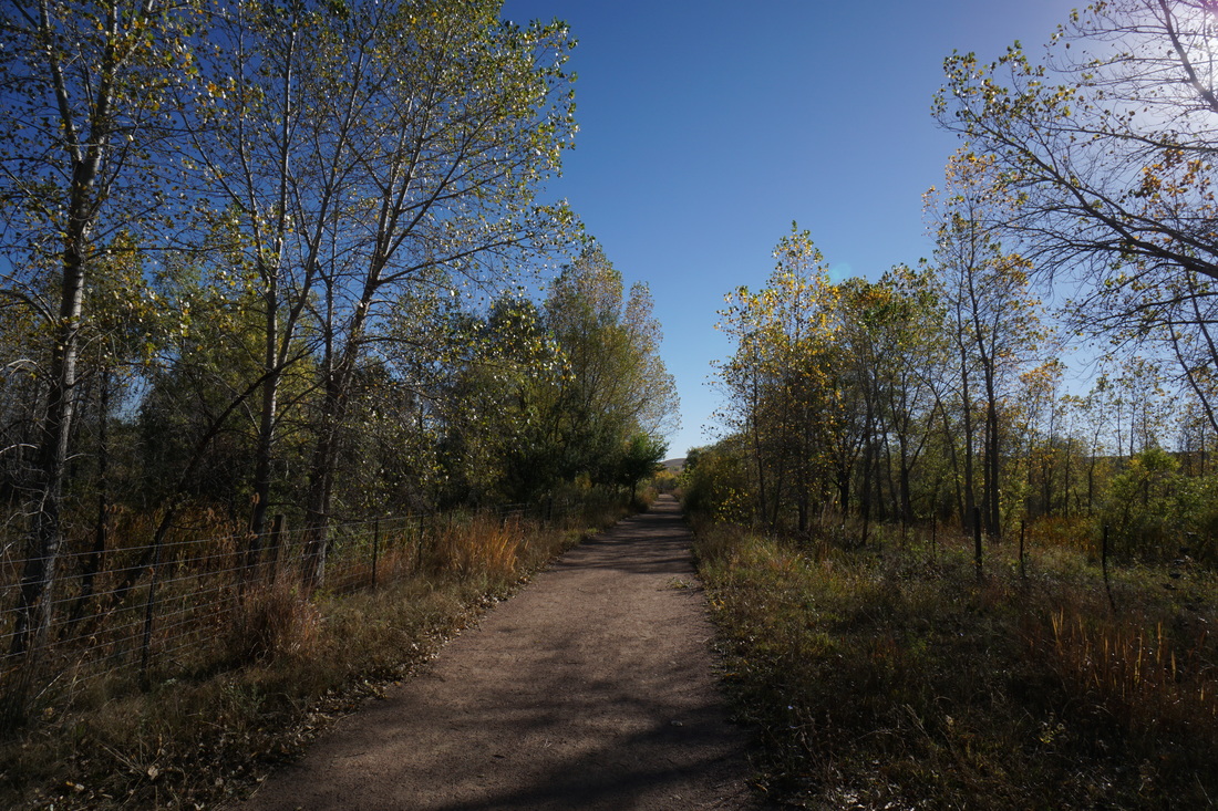
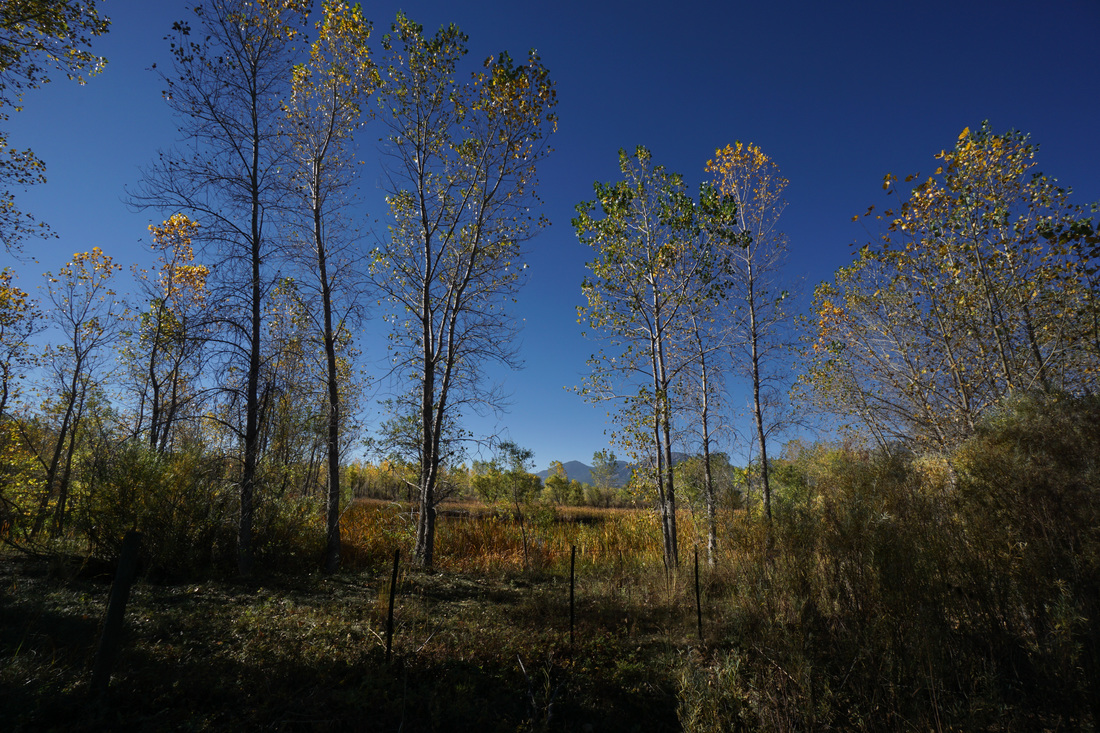
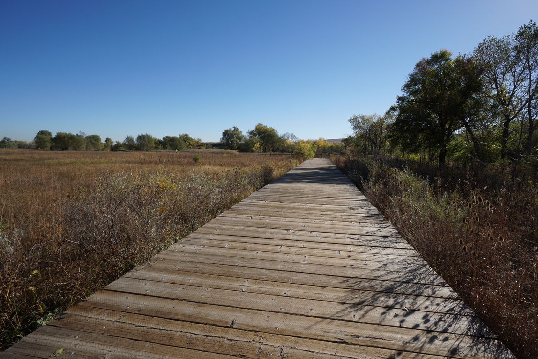
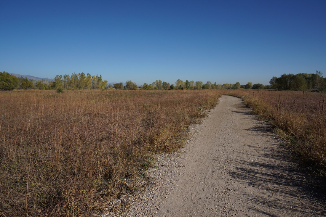
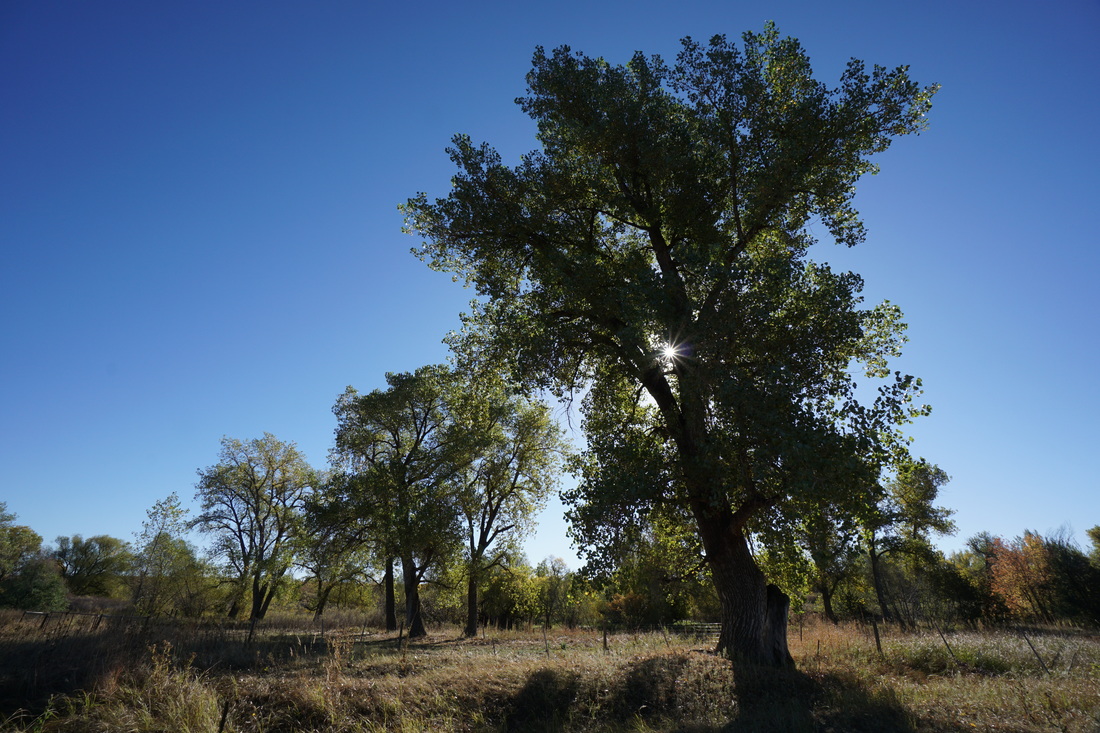
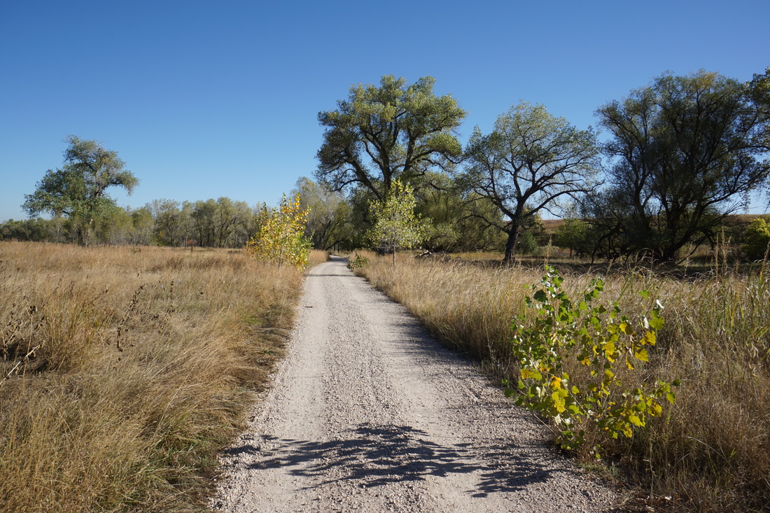
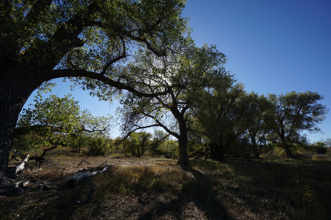
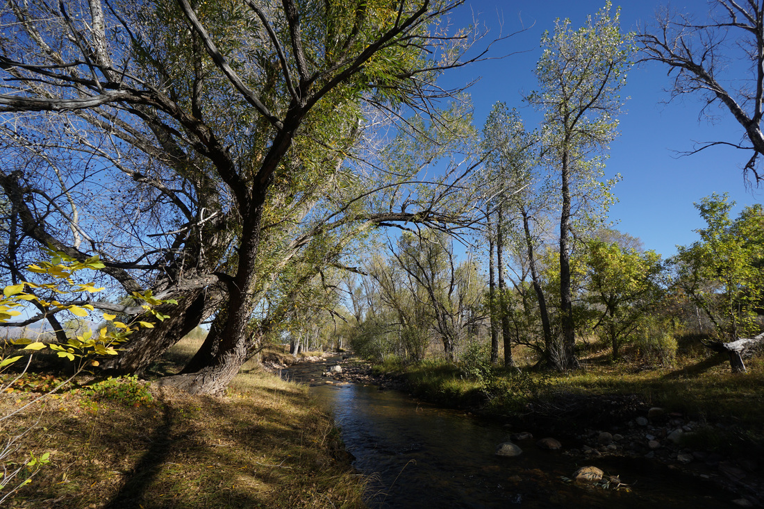
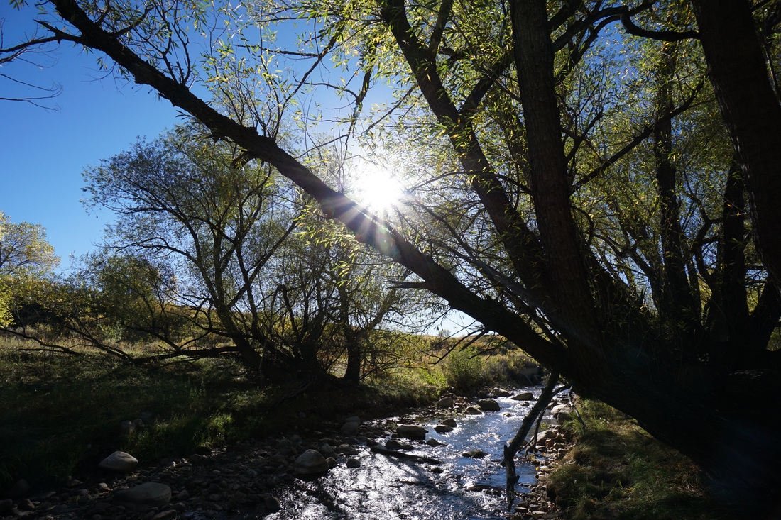
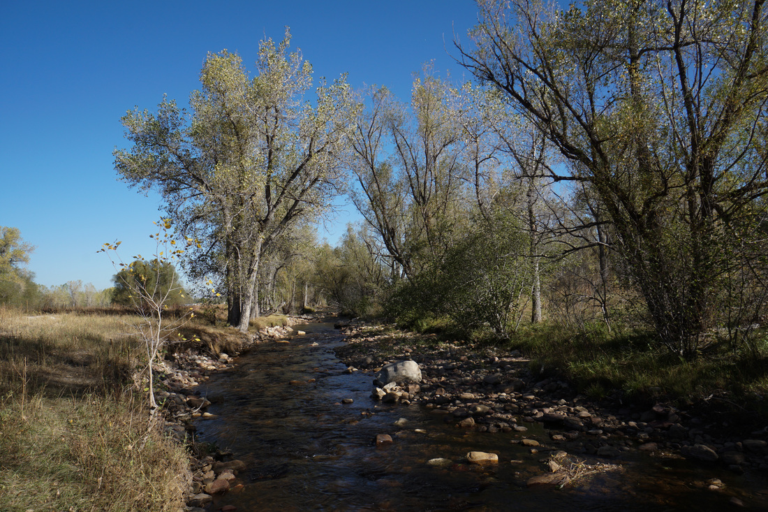
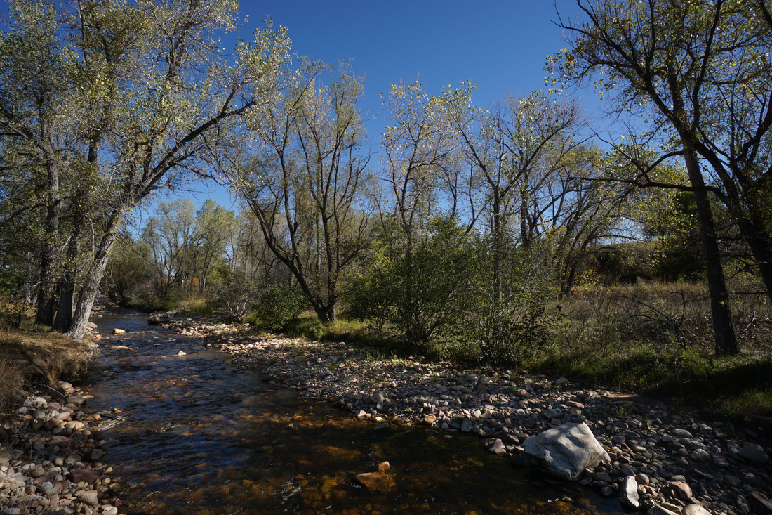
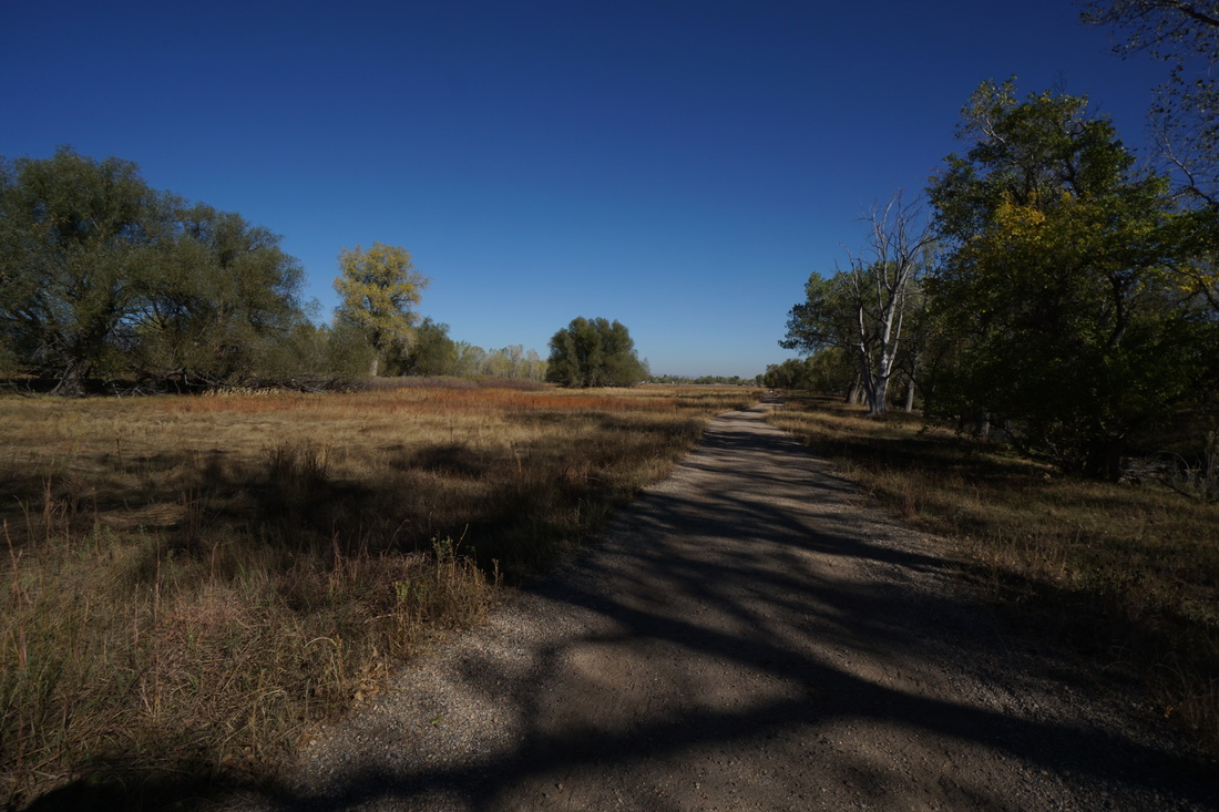
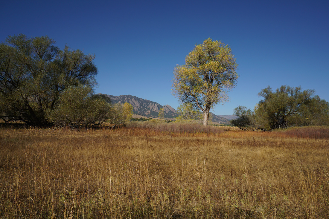
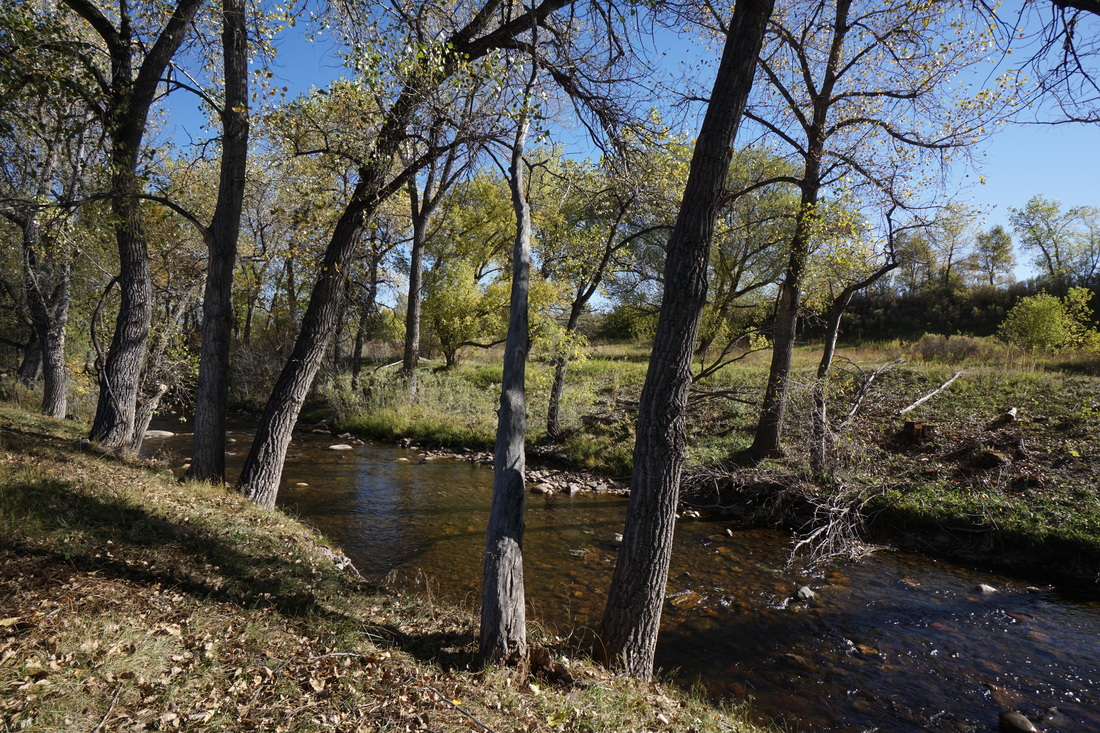
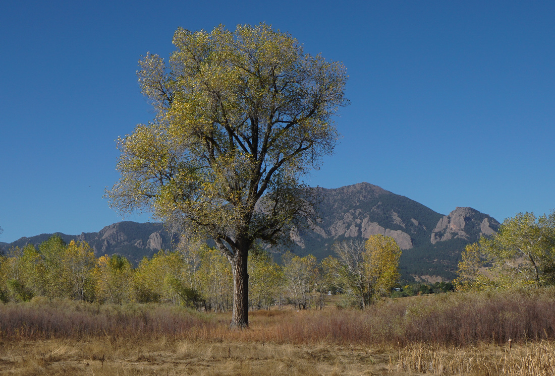
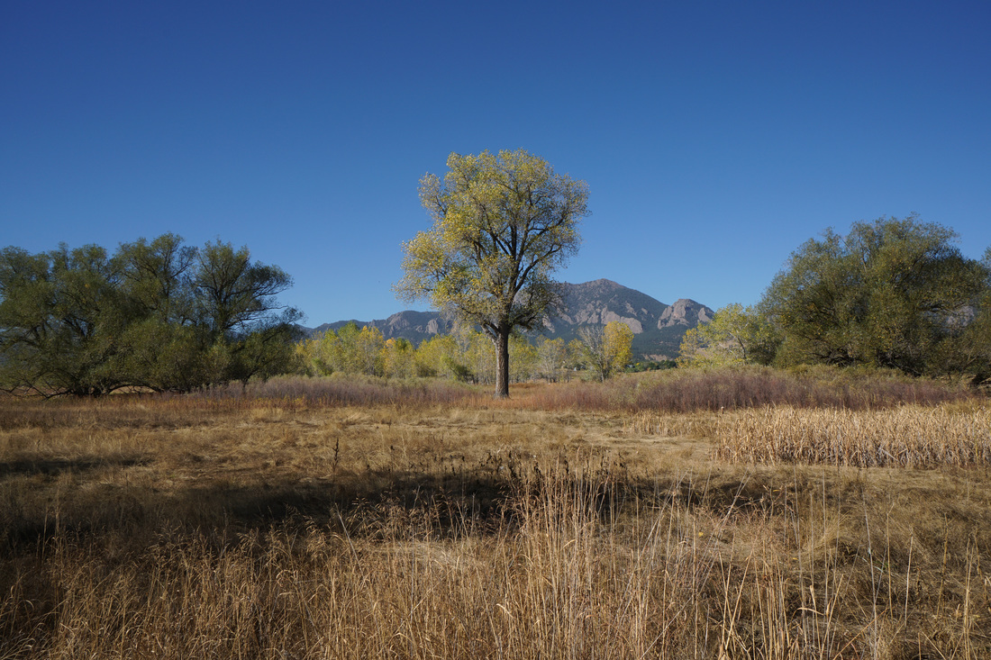
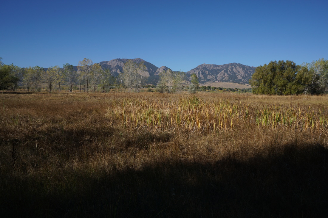
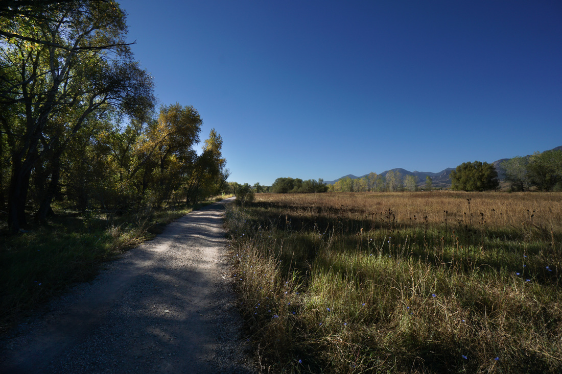
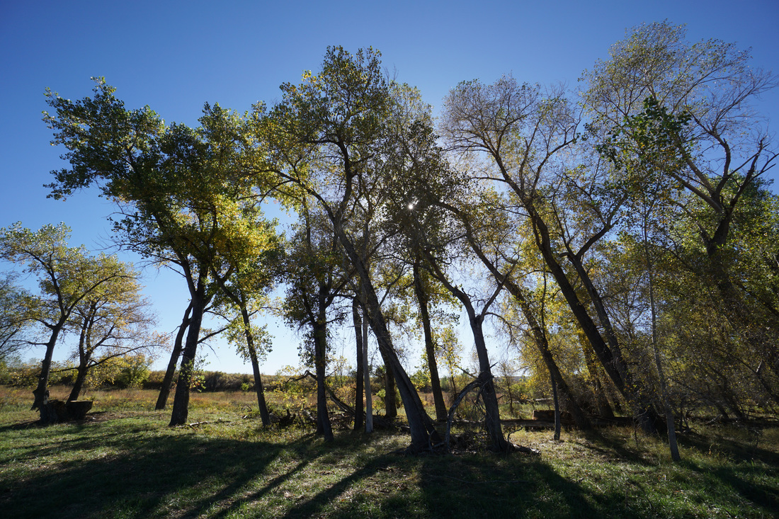
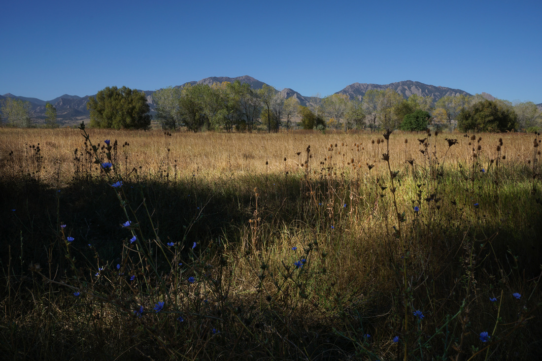
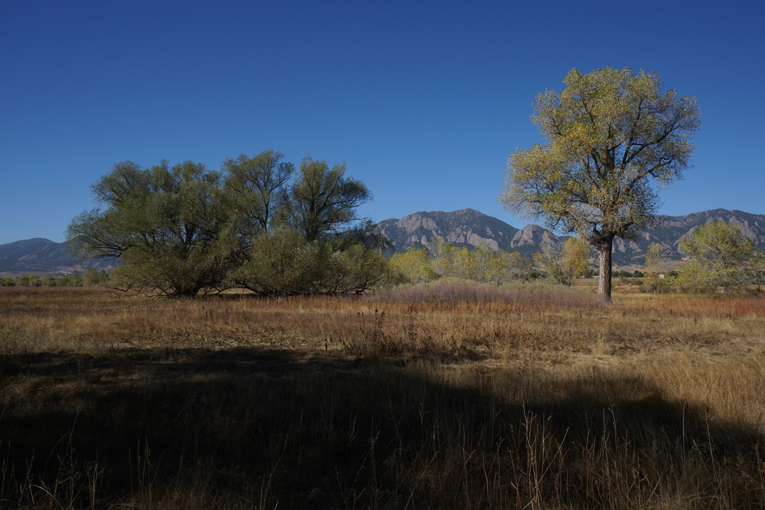
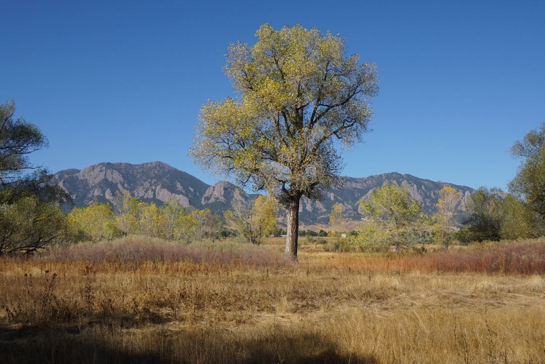
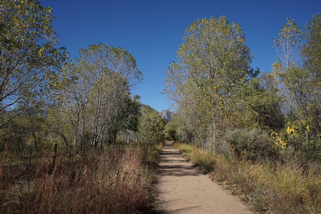
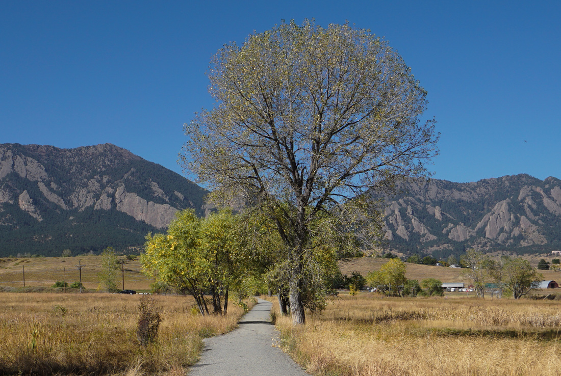
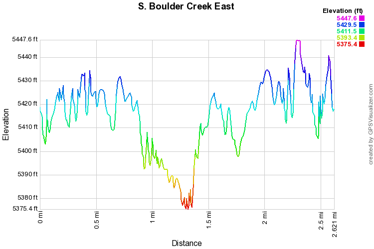
From the trailhead start down the wide gravel path as it leads through strands of cottonwood trees.  In the fall this area is beautiful with golden trees and orange prairie grasses.  The trail is flat and easy to walk or run along.  You'll pass through a few livestock gates and over a wetland/boardwalk area before turning north along South Boulder Creek.  

As you walk along South Boulder Creek there are great views of Eldorado Mountain, Bear Peak, and Green Mountain.  To the east is the creek itself with various access points to a peaceful and serene shoreline.  

After about 1.5 miles, the trail leads under U.S. 36 and continues east, however, as of October 2015, the trail is closed at 36, be sure to check the City of Boulder Website for current closures and conditions.

After the Aspens have concluded their fall show the cottonwoods start to turn and the South Boulder Creek Trail is a great way to experience the fall colors that the cottonwoods have to offer first hand.  

​
© Go Hike Colorado, 2020.  All Rights Reserved. 
Use of photographs without prior authorization is
​strictly prohibited.


Contact us at:
[email protected]
Legal Disclaimer - Information provided on this site is based upon our own observations, always double check information with the appropriate land management agency before heading into the backcountry.  Backcountry travel is inherently dangerous, please take all proper precautions.  Go Hike Colorado is not responsible for injury or incident.