|
Directions: From Pearl Street in Boulder, head west on Pearl which becomes Pearl Parkway, then Valmont Road. Turn left (north) on 75th Street and right when you see the signs for the trailhead, on an unnamed dirt road. The trailhead is at the end of the road.
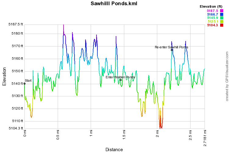
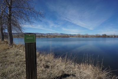
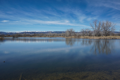
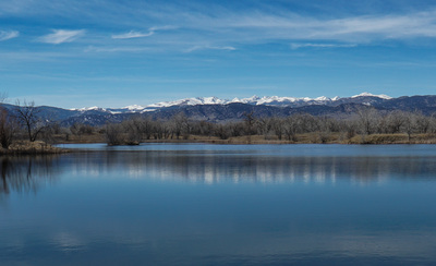
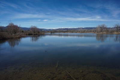
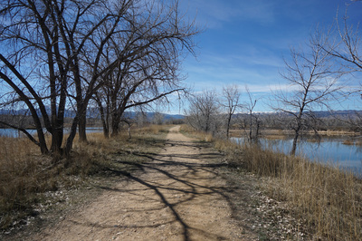
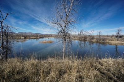
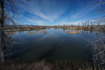
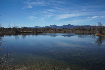
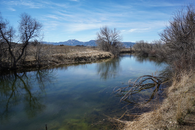
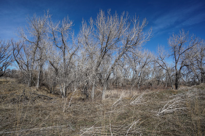
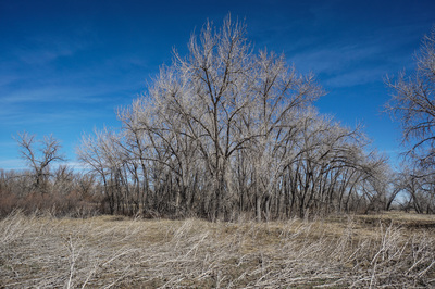
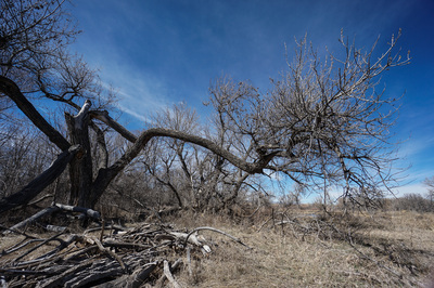
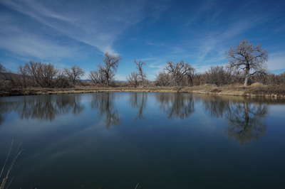
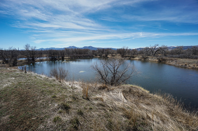
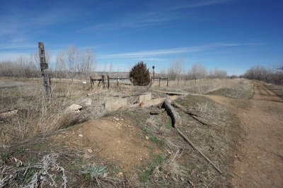
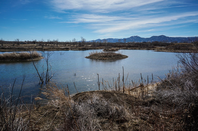
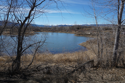
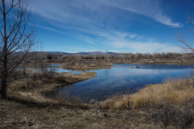
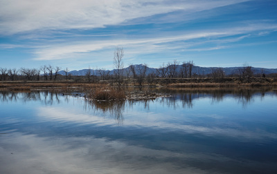
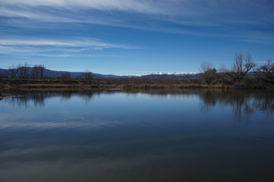
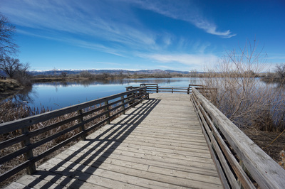
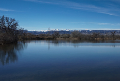
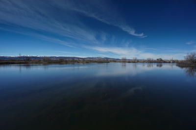
The Sawhill Ponds and Walden Ponds are a wonderful area for easy nature hiking in the plains east of Boulder. When the snow in the foothills is melts into mud, the drier plains can be a great option. Don't come here searching for solitude, but the views of the Front Range behind the reflective waters effectively drowns out the other visitors. From the Sawhill Ponds Trailhead, head west and be sure to check out the views of Green Mountain, Bear Peak, and S. Boulder Peak reflected in the pond on the left. When you reach the 1st trail junction, I suggest saying straight, in fact I suggest ignoring all the social trail on this stretch and head as far west as you can. Once you pass the 1st intersection the crowds diminish and you can be alone with the towering cottonwoods. Follow the trail as it curves north weaving between ponds. When you start heading east on the wide path, look to the left for the gate leading to the Walden Ponds Area. The Walden Ponds are managed by Boulder County Open Space and are not as "wild" as the Sawhill Ponds. Turn left through the gate and head north in between two ponds. As you head east, then south again, be sure to look behind you for stunning views of the Indian Peaks. Follow the trail south and feel free to explore more of the Walden Ponds area before re-entering the Sawhill Ponds area. Pass through another gate and follow the wide path back to the starting point, again, look to the west for the killer views. Caution - the trail south in the Walden Ponds area is closed as it was washed out during the 2013 floods. You can skirt around the closure, but it is not advised as you have to trample through the wetlands. |
- HOME
- ABOUT
-
HIKES BY REGION
-
NATIONAL PARK HIKES
- BENT'S OLD FORT NATIONAL HISTORIC SITE
- BLACK CANYON OF THE GUNNISON NATIONAL PARK
- COLORADO NATIONAL MONUMENT
- CURECANTI NATIONAL RECREATION AREA
- DINOSAUR NATIONAL MONUMENT
- FLORISSANT FOSSIL BEDS NATIONAL MONUMENT
- MESA VERDE NATIONAL PARK
- ROCKY MOUNTAIN NATIONAL PARK
- GREAT SAND DUNES NATIONAL PARK
- HOVENWEEP NATIONAL MONUMENT
- SAND CREEK MASSACRE NATIONAL HISTORIC SITE
- YUCCA HOUSE NATIONAL MONUMENT
- HIKES BY CATEGORY
- NEWS
- WEBCAMS
- $UPPORT GHC
- INTERACTIVE MAP
Sawhill Ponds
City of Boulder Open Space & Mountain Parks
Date Hiked: March 15, 2015
Distance: 2.7 mi (RT)
Elevation Gain: 300ft
Elevation Min/Max: 5,104 to 5,187ft
Trailhead Lat/Long: 40 02' 22'' N; 105 11' 08''
Managing Agency: City of Boulder Open Space & Mt. Parks
Fee: None

