|
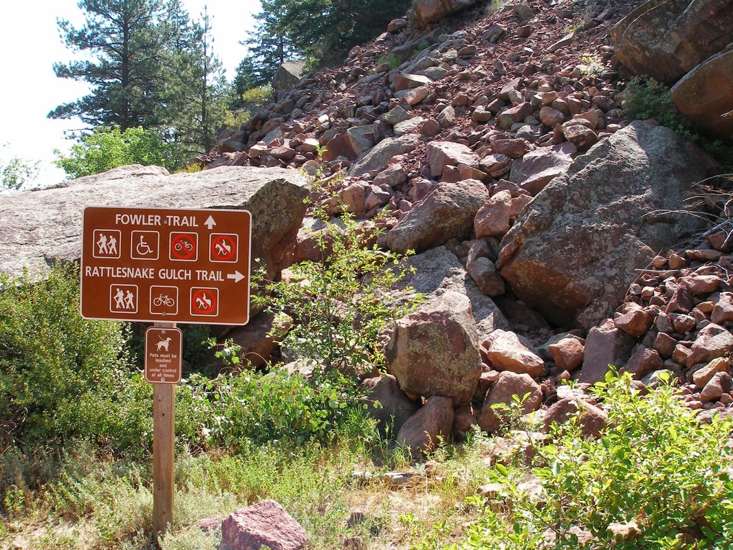
Directions: From Denver take I-70 West to Hwy 58 West. Turn north on Hwy 93 and just before you reach South Boulder, turn left (west) on Eldorado Springs Drive. Go through the town of Eldorado Springs and enter the State Park. Follow the park's road to the Fowler/Rattlesnake Gulch Trailhead.
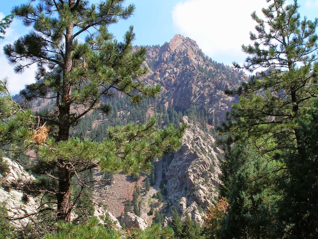
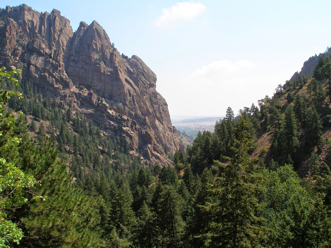
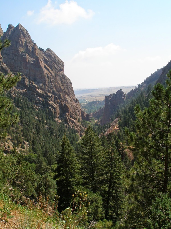
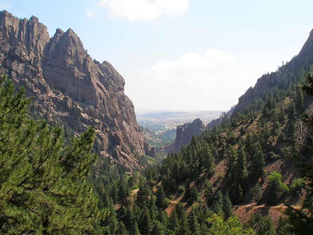
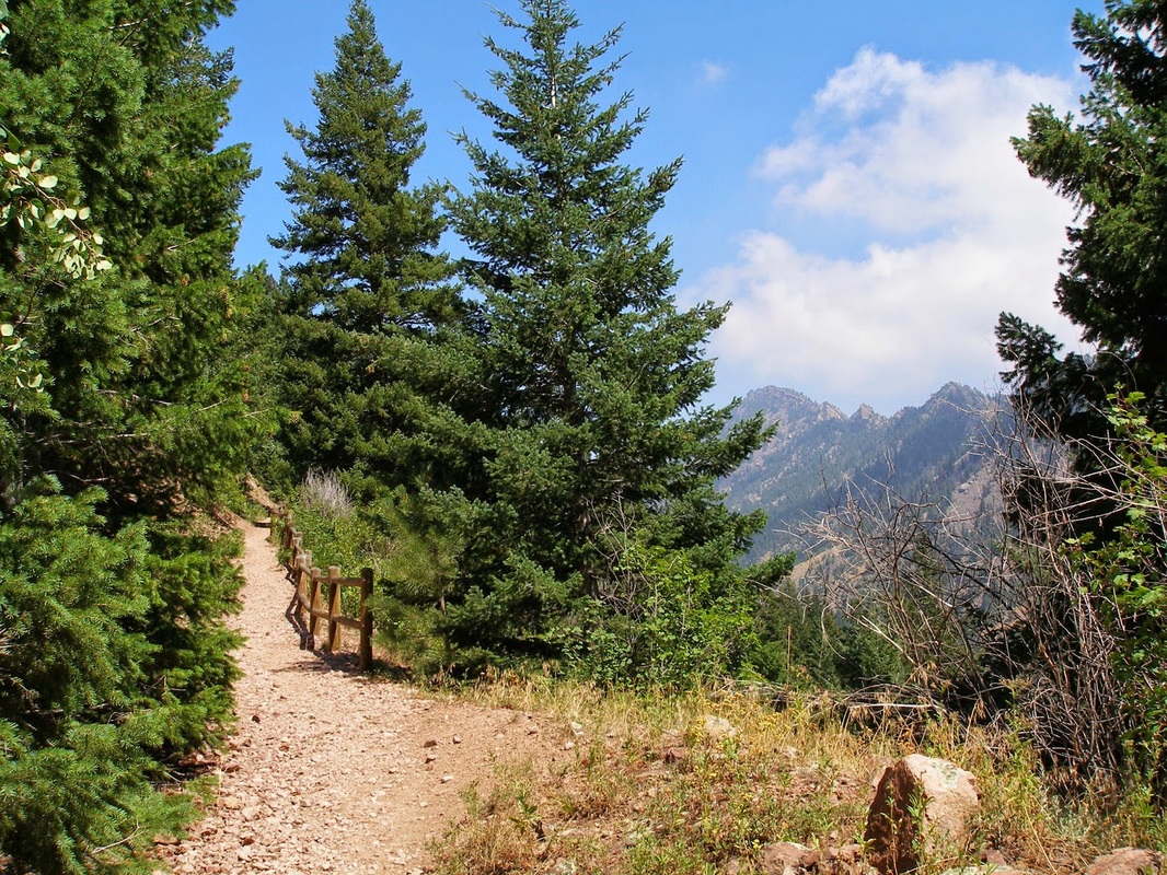
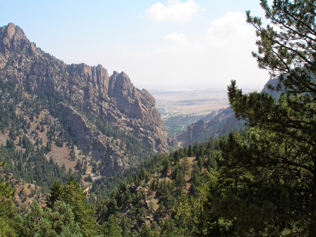
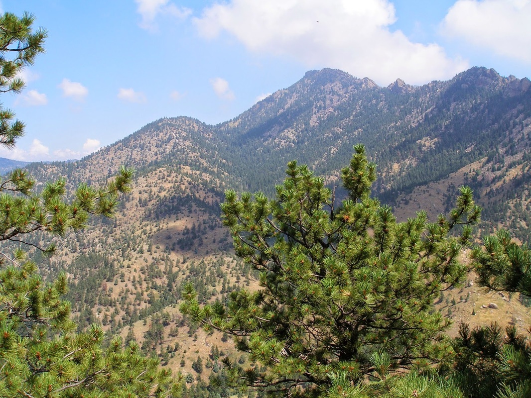
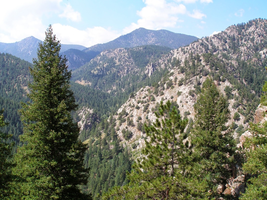
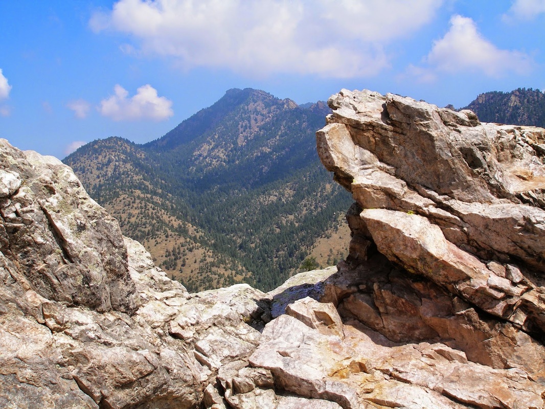
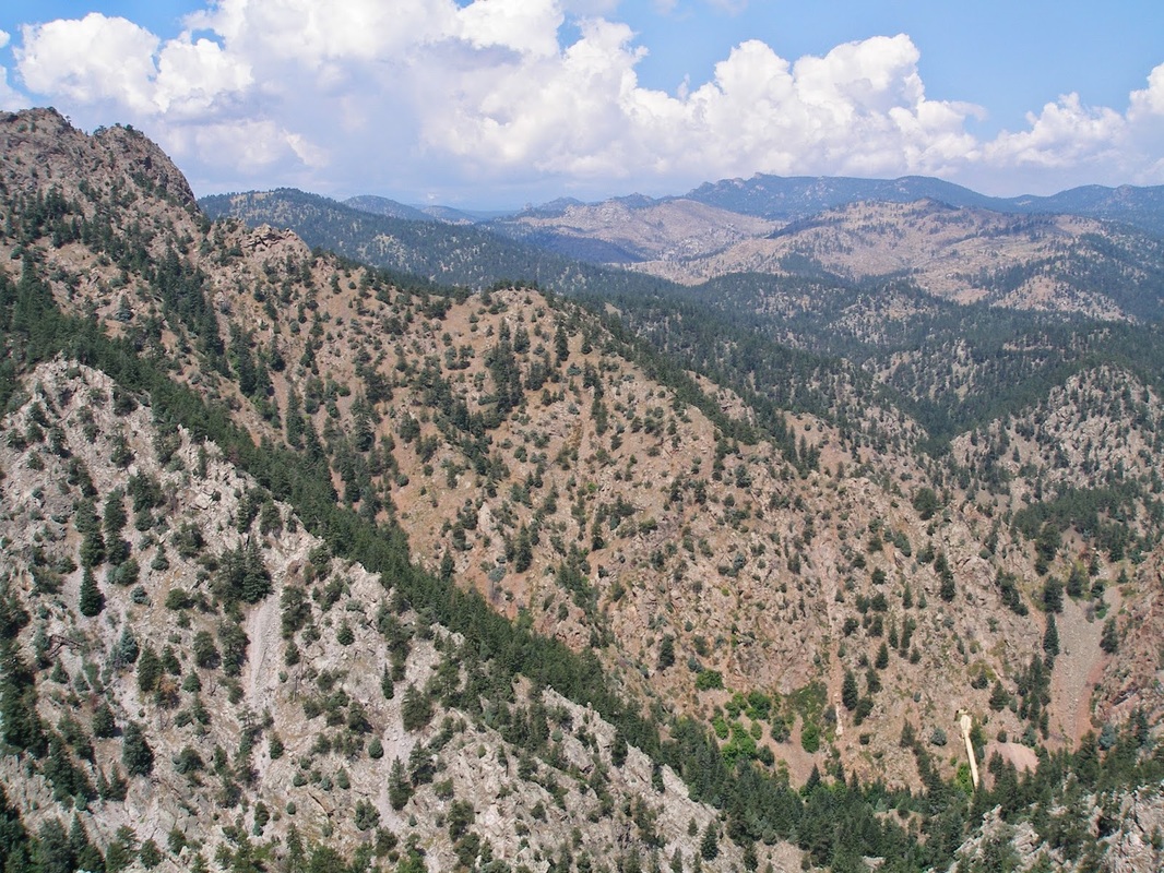
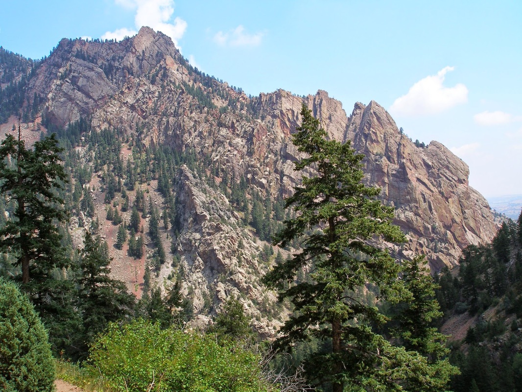
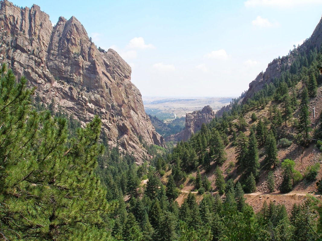
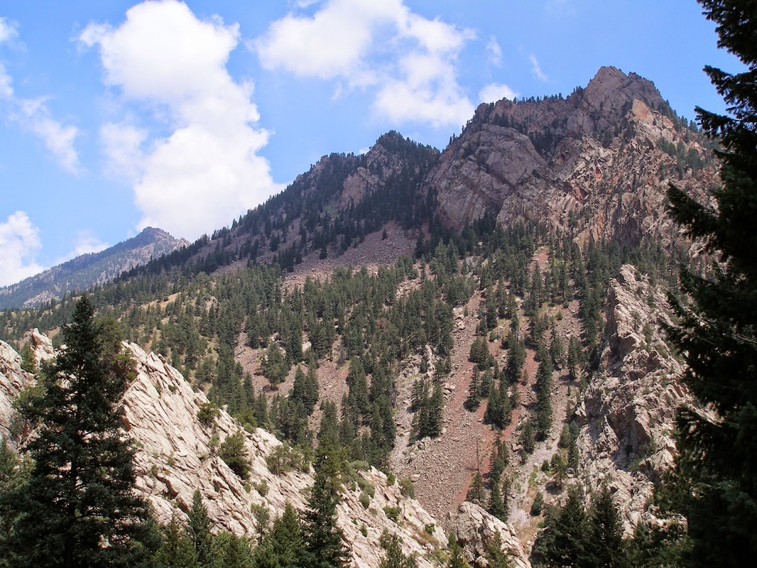
This hike is the premier hike in the Park, unfortunately, due to the 2013 floods, the trail has been largely washed away. It is closed until they rebuild it, if they rebuild it... The trail switchbacks up the easter slopes to the Continental Divide Overlook and the ruins of an old Hotel. From here you get an amazing view down the canyon to Shirttail Peak and Eldorado Mountain. The view is simply amazing, the rock formations forming the entrance to the canyon are iconic, and you get a glorious view of them from the entire trail. The trail gains over 1,000 feet but the grade is steady making this a great moderate hike and the best way to experience Eldorado Canyon. |
|
- HOME
- ABOUT
-
HIKES BY REGION
-
NATIONAL PARK HIKES
- BENT'S OLD FORT NATIONAL HISTORIC SITE
- BLACK CANYON OF THE GUNNISON NATIONAL PARK
- COLORADO NATIONAL MONUMENT
- CURECANTI NATIONAL RECREATION AREA
- DINOSAUR NATIONAL MONUMENT
- FLORISSANT FOSSIL BEDS NATIONAL MONUMENT
- MESA VERDE NATIONAL PARK
- ROCKY MOUNTAIN NATIONAL PARK
- GREAT SAND DUNES NATIONAL PARK
- HOVENWEEP NATIONAL MONUMENT
- SAND CREEK MASSACRE NATIONAL HISTORIC SITE
- YUCCA HOUSE NATIONAL MONUMENT
- HIKES BY CATEGORY
- NEWS
- WEBCAMS
- $UPPORT GHC
- INTERACTIVE MAP
Rattlesnake Gulch
Eldorado Canyon State Park
CURRENTLY CLOSED
Distance: 2.4 mi (RT)
Elevation Gain: 1,033ft
Managing Agency: Colorado State Parks
Fee: Yes