GO HIKE COLORADO
Get in Touch:
  • HOME
  • ABOUT
  • HIKES BY REGION
    • DENVER AREA >
      • Denver Mountain Parks
      • Jefferson County Open Space
      • Lakewood Parks
      • Denver Area Greenways
    • BOULDER AREA
    • DOUGLAS COUNTY
    • FORT COLLINS AREA
    • COLORADO SPRINGS AREA
    • FRONT RANGE
    • TENMILE & MOSQUITO RANGES
    • GORE RANGE
    • SANGRE DE CRISTO MOUNTAINS
    • PARK RANGE
    • SAWATCH RANGE
    • ELK MOUNTAINS
    • SAN JUAN MOUNTAINS
    • THE FLAT TOPS
    • GRAND MESA
    • COLORADO PLATEAU
    • EASTERN PLAINS
  • NATIONAL PARK HIKES
    • BENT'S OLD FORT NATIONAL HISTORIC SITE
    • BLACK CANYON OF THE GUNNISON NATIONAL PARK
    • COLORADO NATIONAL MONUMENT
    • CURECANTI NATIONAL RECREATION AREA
    • DINOSAUR NATIONAL MONUMENT
    • FLORISSANT FOSSIL BEDS NATIONAL MONUMENT
    • MESA VERDE NATIONAL PARK
    • ROCKY MOUNTAIN NATIONAL PARK
    • GREAT SAND DUNES NATIONAL PARK
    • HOVENWEEP NATIONAL MONUMENT
    • SAND CREEK MASSACRE NATIONAL HISTORIC SITE
    • YUCCA HOUSE NATIONAL MONUMENT
  • HIKES BY CATEGORY
    • HIKES TO ALPINE LAKES
    • HIKES TO PEAKS & PASSES
    • HIKES THROUGH CANYONS
    • HIKES WITH FALL COLORS
    • HIKES ALONG THE I-70 CORRIDOR
    • HIKES ON PAVED TRAILS
    • HIKES FOR KIDS
    • HIKES TO WATERFALLS
    • HIKES ALONG RIVERS
    • HIKES WITH ROCK FORMATIONS
    • HIKES WITH WILDFLOWERS
    • WINTER HIKES
  • NEWS
  • WEBCAMS
  • $UPPORT GHC
  • INTERACTIVE MAP

Foothills Trail to Hogback Ridge
City of Boulder OSMP

Date Hiked: August 11, 2012

Distance:  3 mi (RT)
Elevation Gain:  900ft
Elevation Min/Max:  5,515 to 6,407
Managing Agency:  City of Boulder Open Space and Mountain Parks
Fee:  None

Foothills Trailhead Map
Picture

Directions:  From Boulder head north on either Hwy 36 or Broadway until you just pass the North Denver Residential Area.  Make a quick right onto Broadway Street (east of Hwy36) and follow this dirt road to the Foothills Trailhead on the left.

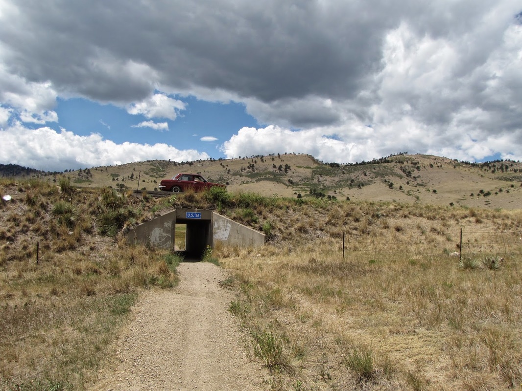
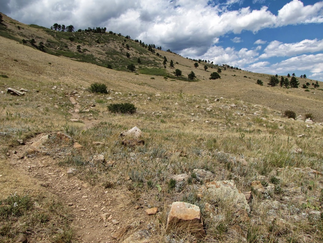
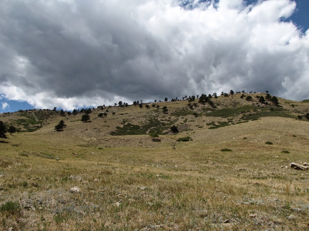
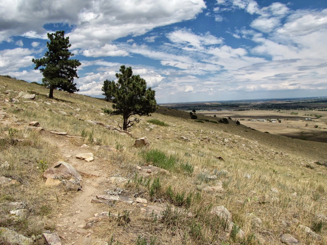
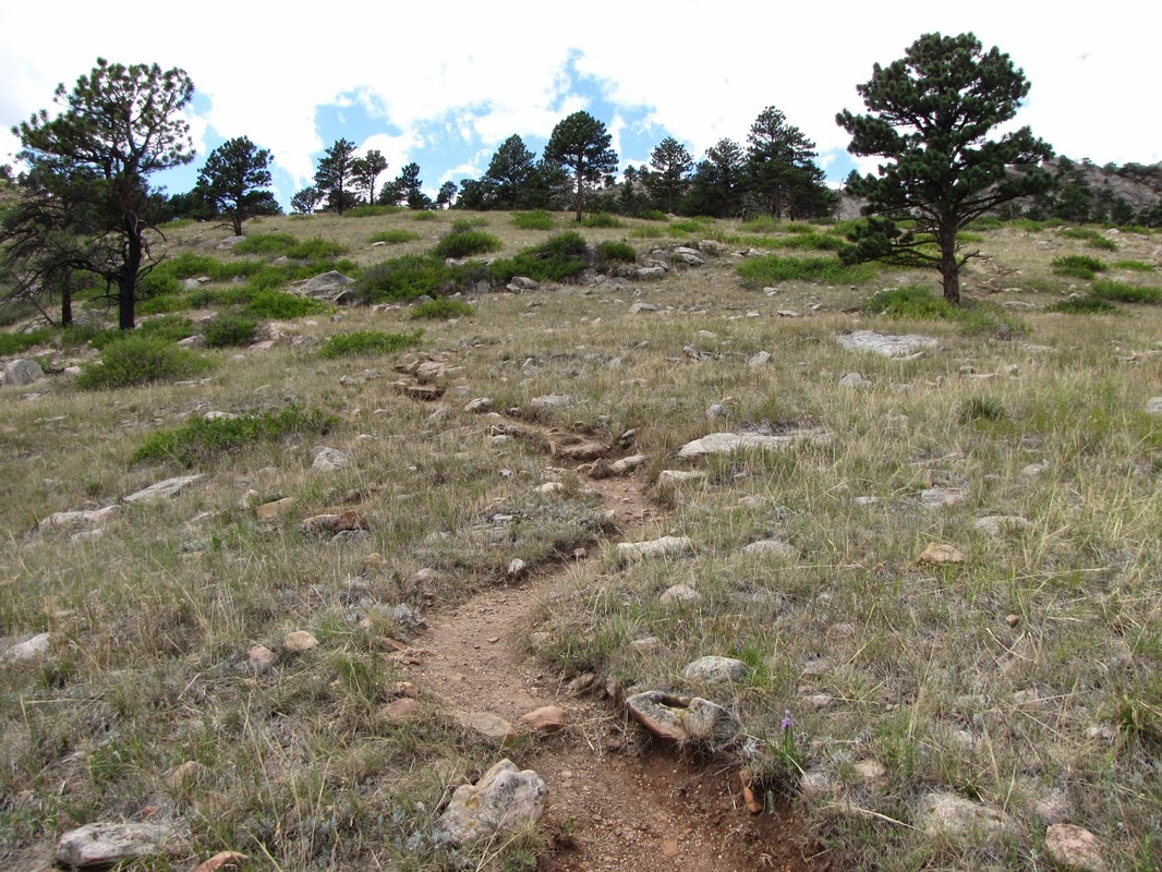
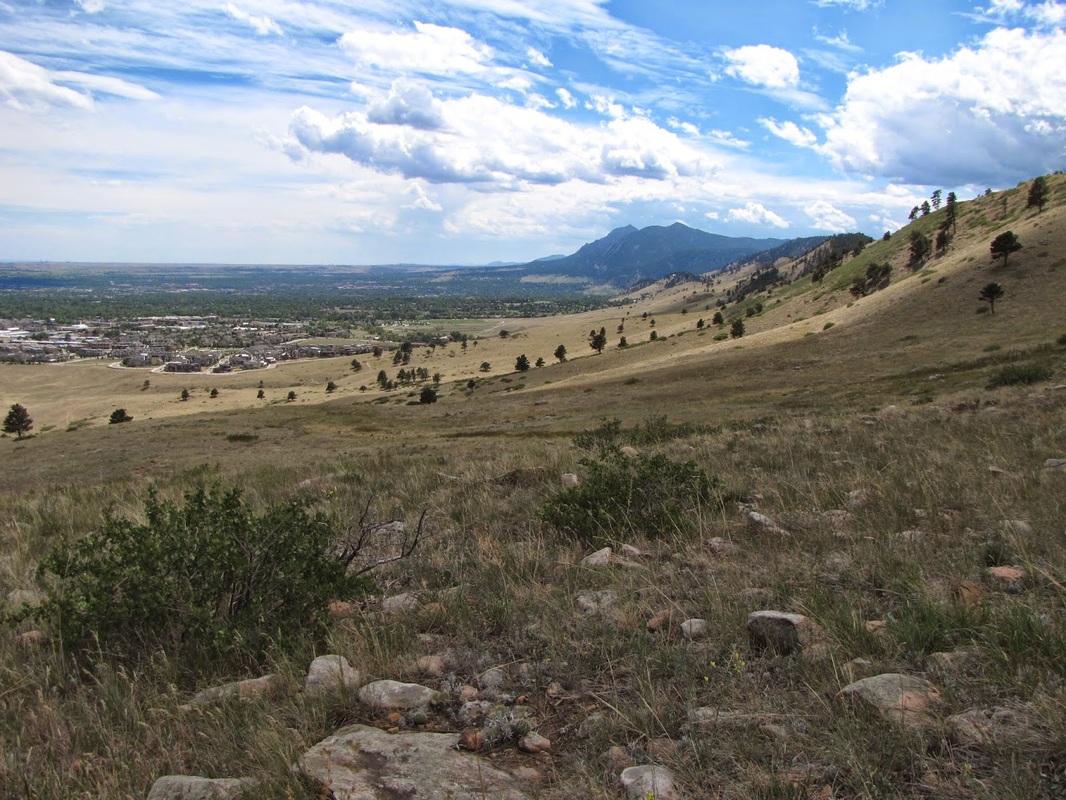
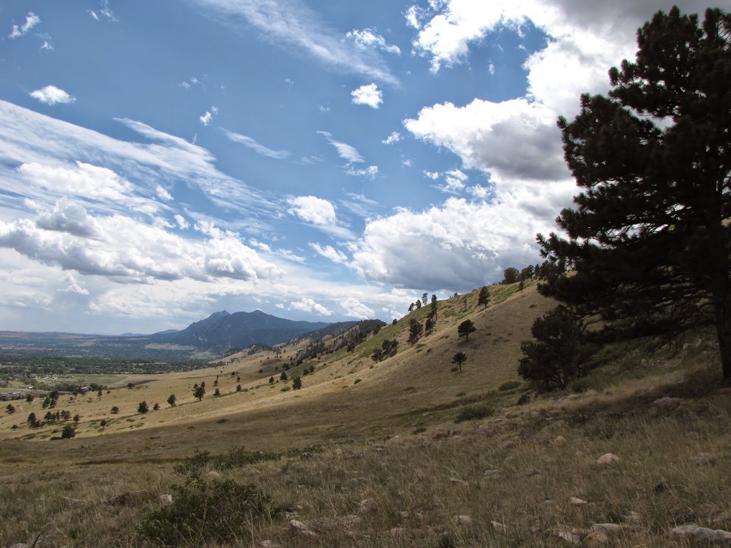
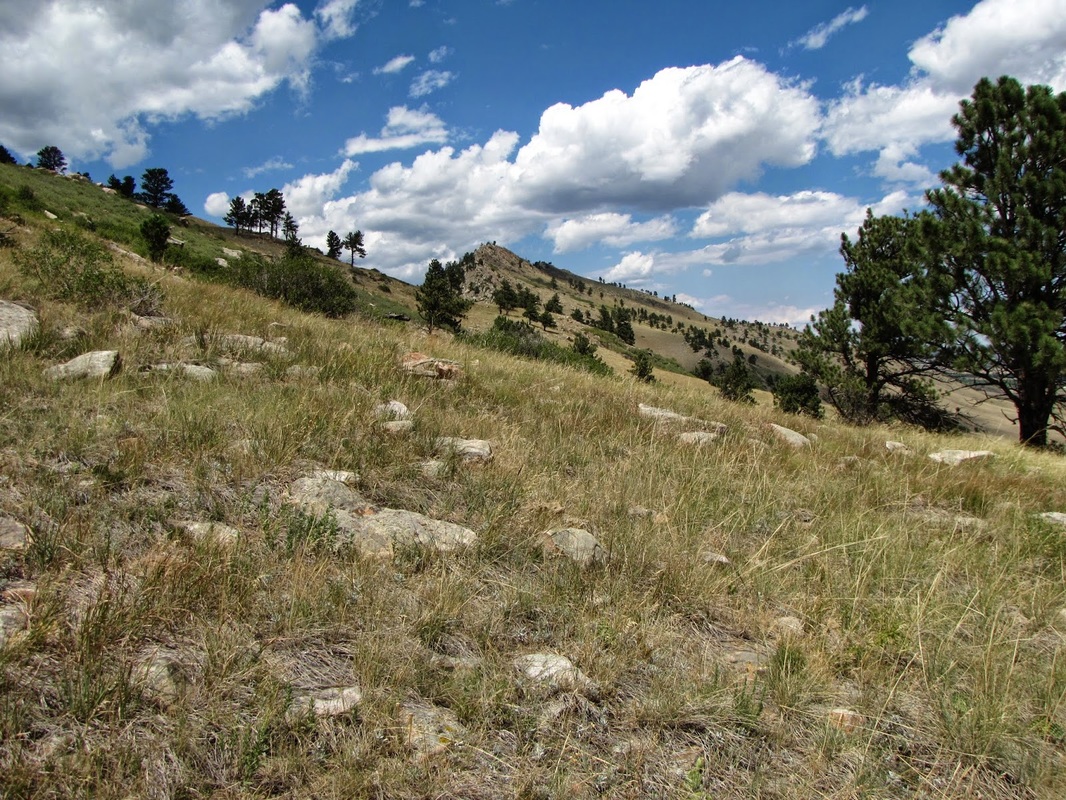
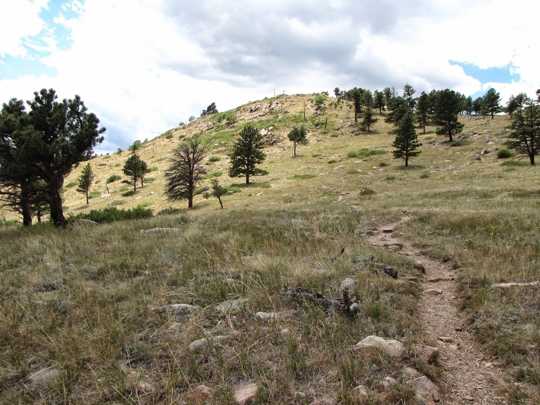
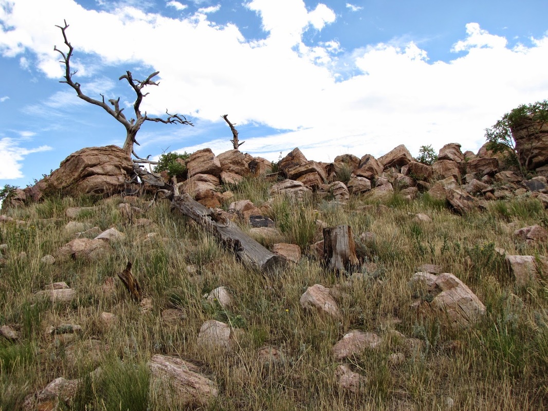
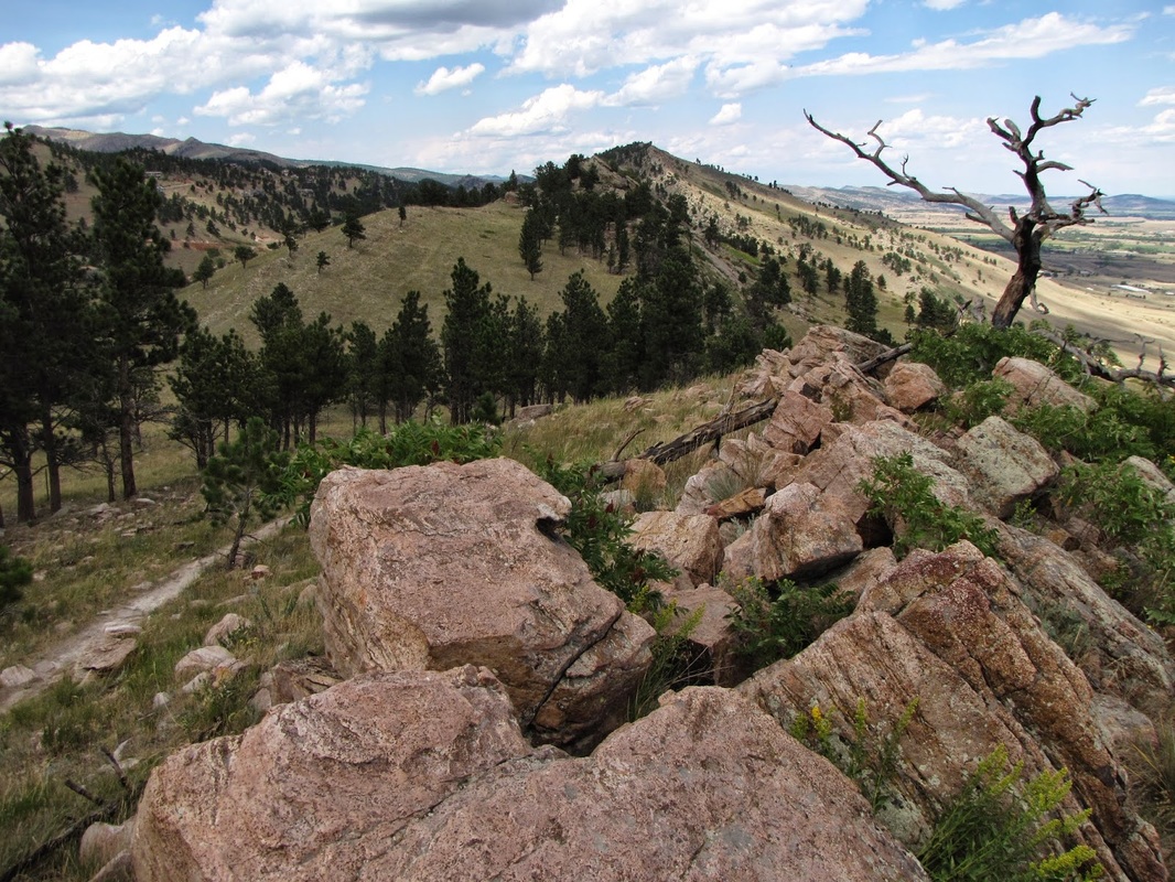
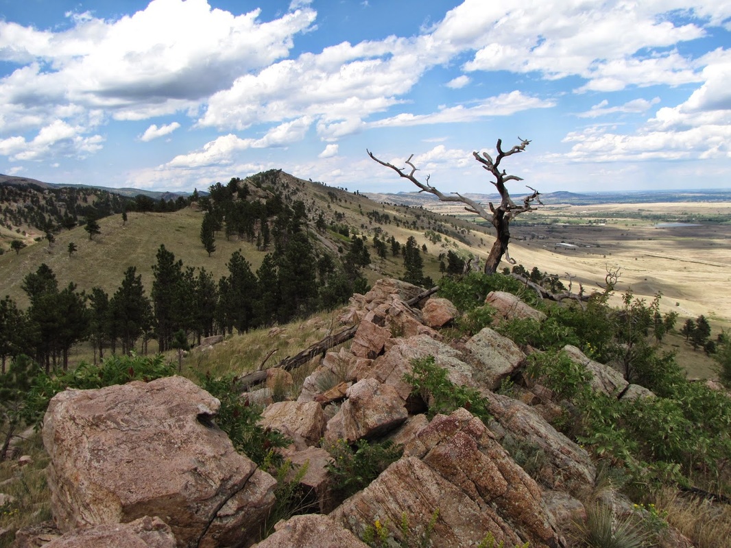
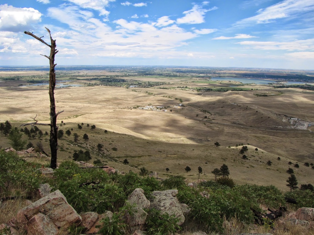
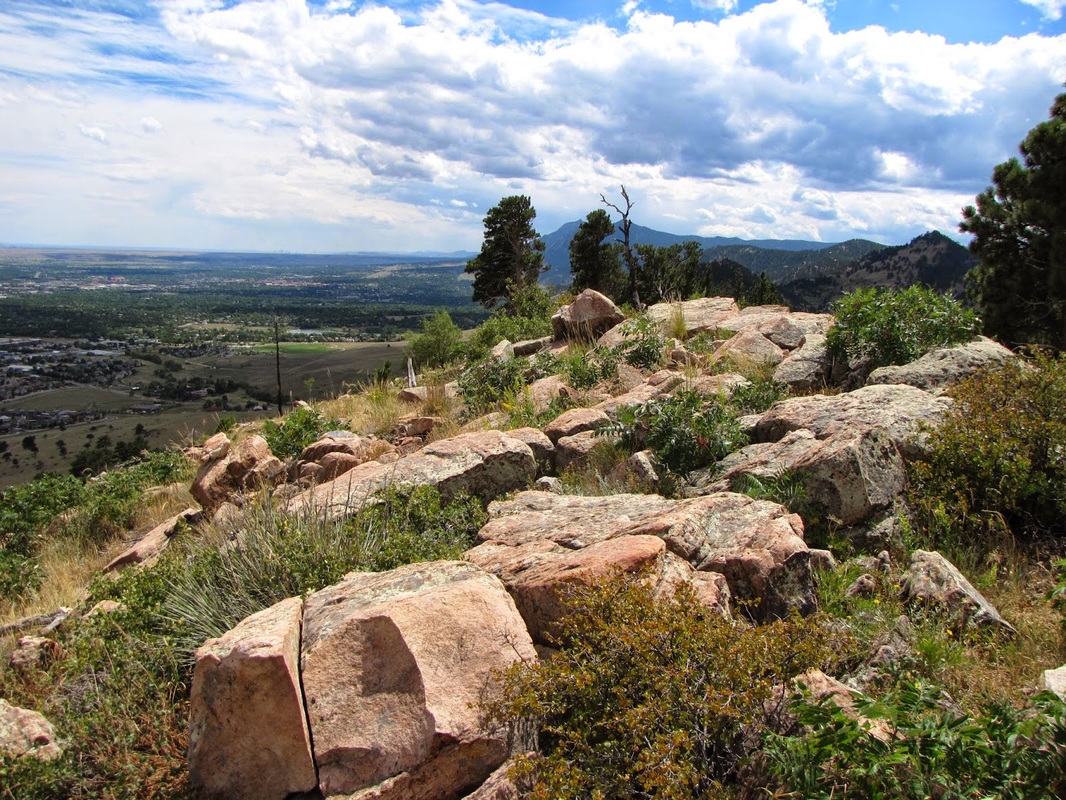
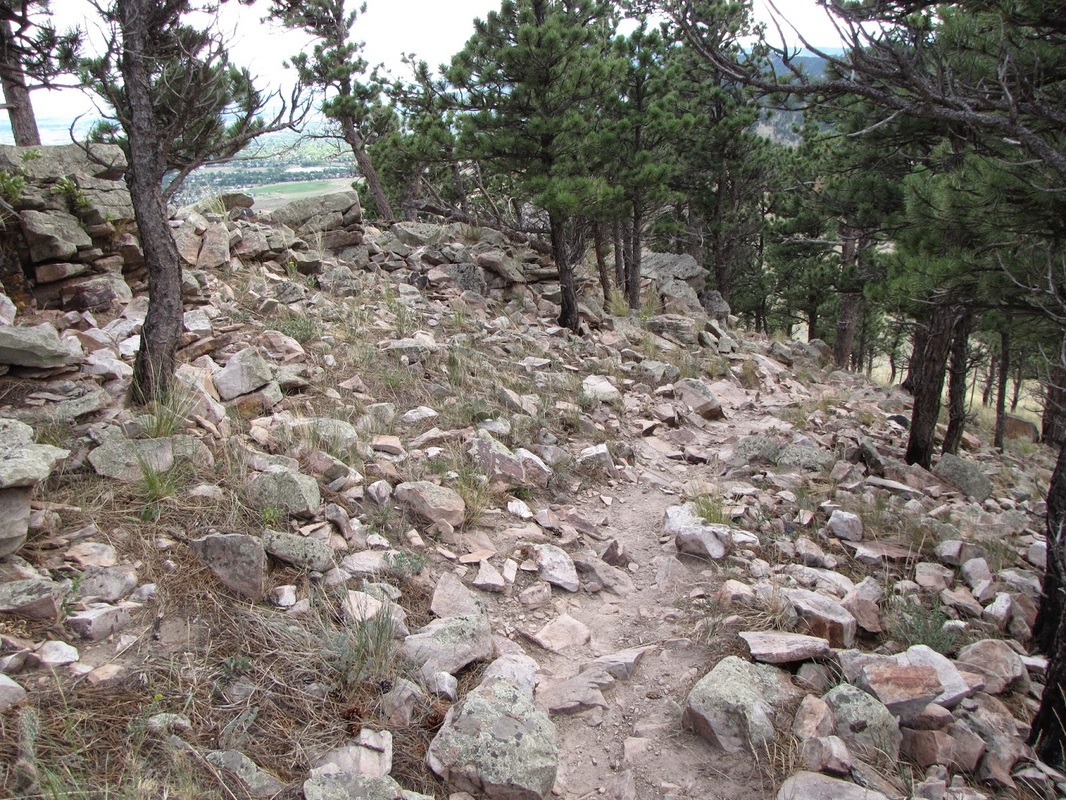
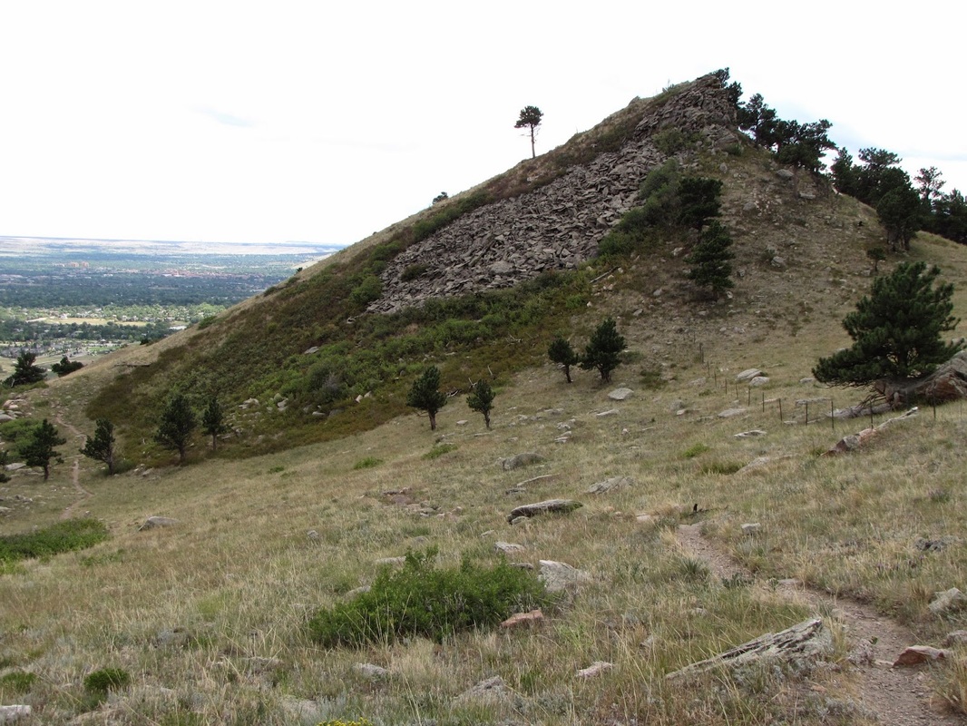
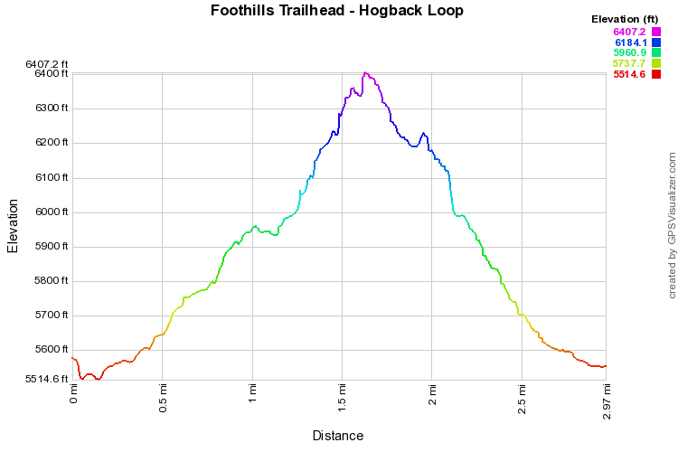
The Hogback Ridge Trail is accessed via the Foothills Trail.  From the trailhead, cross Hwy 36 via the pedestrian underpass and start steadily climbing up a straight trail towards the foothills and the hogback Ridge.  At the first trail junction, turn right onto the Hogback Ridge Trail.  You can take the trail either clockwise or counterclockwise.  Either way, you’ll climb up to the top of the Hogback and travel along the ridge, just below the crest.  There are plenty of places to climb to the top for terrific views back towards Boulder and east to Boulder Reservoir.  After you cross the ridge, the trail descends back to the Foothills Trail.

The Hogback Ridge Trail is a wonderful, quick, and moderate hike with great views and some fun scrambling at the top of the ridge.  Be sure to hit up Upslope Brewery just minutes from the trailhead for some epic post hike refreshment.


Powered by Create your own unique website with customizable templates.