|
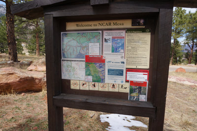
DIRECTIONS: The most common trailhead for Mallory Cave is at the National Center for Atmospheric Research (NCAR) located just south of Boulder. The NCAR parking lot is open to the public and the trailhead is obvious and easy to find. Reach NCAR by turning west on Table Mesa Drive from 93. Follow Table Mesa Drive until it turns into NCAR Road and head up the hill to the NCAR facility.
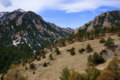
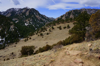
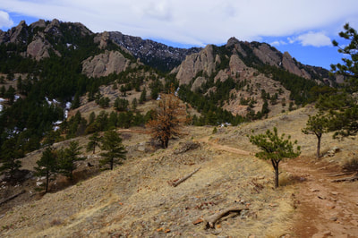
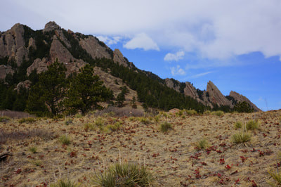
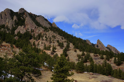
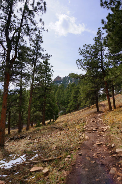
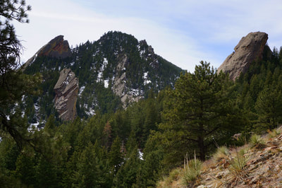
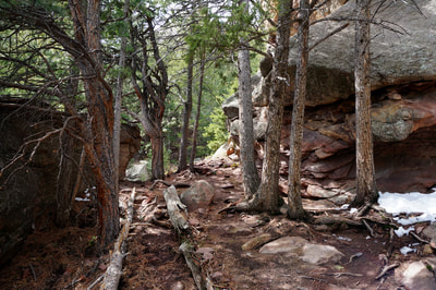
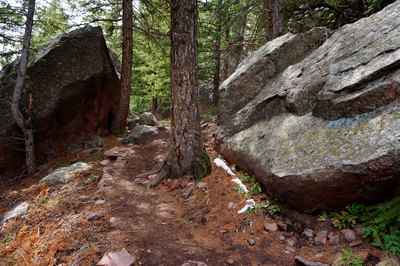
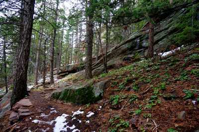
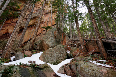
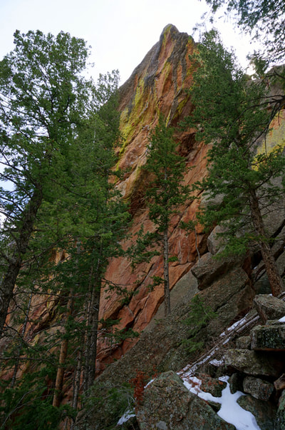
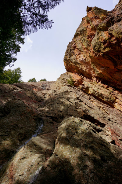
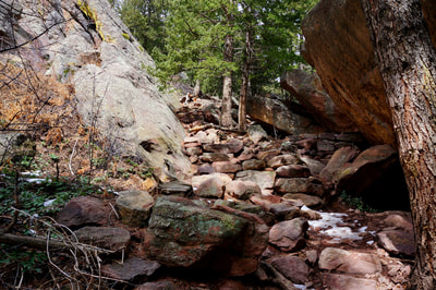
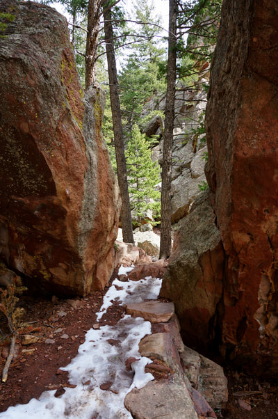
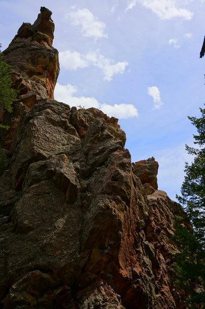
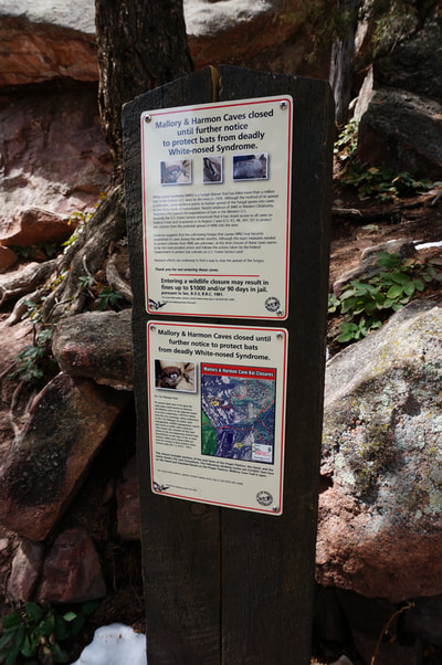
I hiked this trail back in 2013 and never posted it to the site because I wasn't able to get into Mallory Cave, due to a wildlife closure. It seems that the closure has been made permanent so this description is as close as you can get to Mallory Cave. Even though the cave is closed (to prevent the spreading of White Nose Syndrome) the hike is still worthy every step. The trail weaves through towering rock formations, provides awesome views of the flatirons cliffs and has a fun scramble just before the cave. Check the OSMP website to find out if they ever decide to re-open the cave.
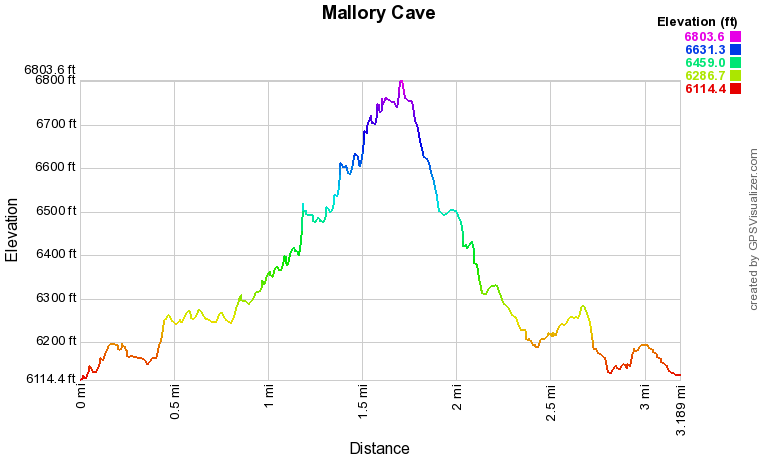
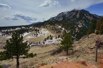
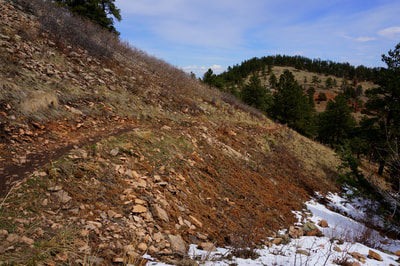
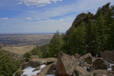
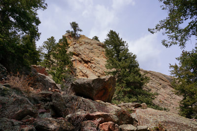
From NCAR, follow the NCAR trail west, marveling at the tremendous views of Bear Peak. The trail dips down before climbing back to meet up with the Mesa Trail. Cross the Mesa Trail to begin the Mallory Cave Trail and start heading up through dense pine forest. The trail becomes steeper but well built and thought out. As you start climbing past stunning boulders and rock formations you'll soon come to a stunning viewpoint. Continue up until you see the Mallory Cave closure sign and the 15 foot wall that you need to scale to enter the cave. This is where our description stops. The climb is not all that difficult but on this March day, there was lingering ice making the climb treacherous and since the cave was closed, we opted to end at the base of the wall. If the closure is lifted, scale the wall and explore the cave. If not, head back the way you came. |
- HOME
- ABOUT
-
HIKES BY REGION
-
NATIONAL PARK HIKES
- BENT'S OLD FORT NATIONAL HISTORIC SITE
- BLACK CANYON OF THE GUNNISON NATIONAL PARK
- COLORADO NATIONAL MONUMENT
- CURECANTI NATIONAL RECREATION AREA
- DINOSAUR NATIONAL MONUMENT
- FLORISSANT FOSSIL BEDS NATIONAL MONUMENT
- MESA VERDE NATIONAL PARK
- ROCKY MOUNTAIN NATIONAL PARK
- GREAT SAND DUNES NATIONAL PARK
- HOVENWEEP NATIONAL MONUMENT
- SAND CREEK MASSACRE NATIONAL HISTORIC SITE
- YUCCA HOUSE NATIONAL MONUMENT
- HIKES BY CATEGORY
- NEWS
- WEBCAMS
- $UPPORT GHC
- INTERACTIVE MAP
Mallory Cave
Boulder Open Space & Mountain Parks
Date Hiked: March 29, 2013
Distance: 3.2 mi (RT)
Elevation Gain: 800 ft
Elevation Min/Max: 6,114 to 6,804 ft
Trailhead Lat/Long: 39.978701º N;105.275470º W
Managing Agency: Boulder OSMP
Fee: None

